Rennsteig Gravel Adventure
A gravel cycling route starting from Gehren
Embark on a thrilling gravel adventure along the famous Rennsteig trail.
Map
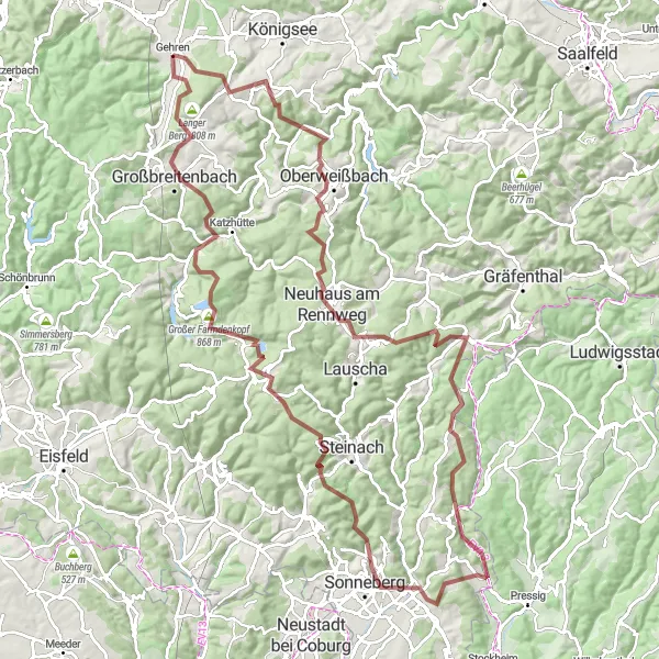
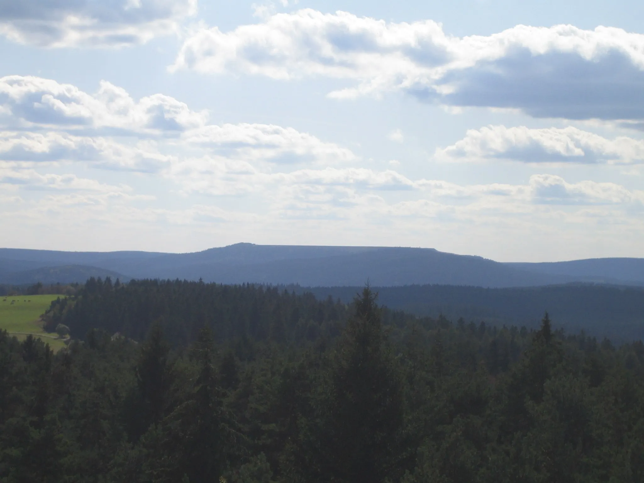
The Rennsteig Gravel Adventure is a thrilling cycling route that takes you off the beaten path and onto the gravel trails of the Thuringian Forest. With a total ascent of 2435 meters over a distance of 114 kilometers, this route is physically demanding but incredibly rewarding. The highlights along the route include the Hopfberg, a challenging climb with panoramic views; Neuhaus am Rennweg, a charming town with a rich cultural heritage; and the Großer Farmdenkopf, a secluded peak with stunning vistas of the surrounding landscape. Overall, the Rennsteig Gravel Adventure is a true test of skill and endurance for gravel enthusiasts.
gravel
114 km
2435 m
Savage
Route profile
Highlights on the route
0 km
0 km
Start: Gehren Village centerGehren: Scenic Cycling in Thüringen
Gehren, situated in Thüringen, Germany, is a cycling-friendly locality that offers scenic routes for road and gravel cyclists. The region is known for its peaceful countryside and picturesque landscapes. Cyclists can enjoy riding through rolling hills and explore charming villages. Gehren is also close to the famous Rennsteig, a popular long-distance hiking and cycling trail. Overall, Gehren is a great destination for cyclists seeking beautiful views and peaceful rides.0 km
0 km
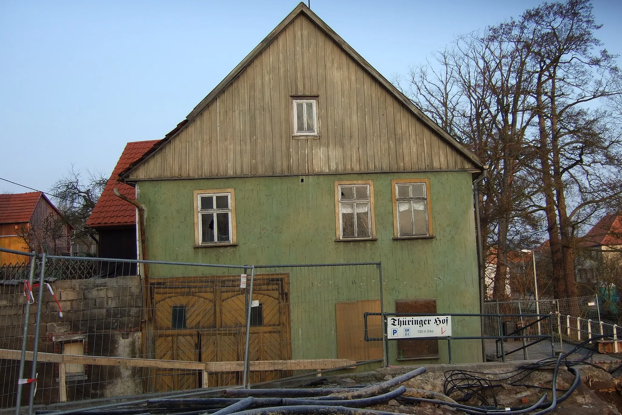
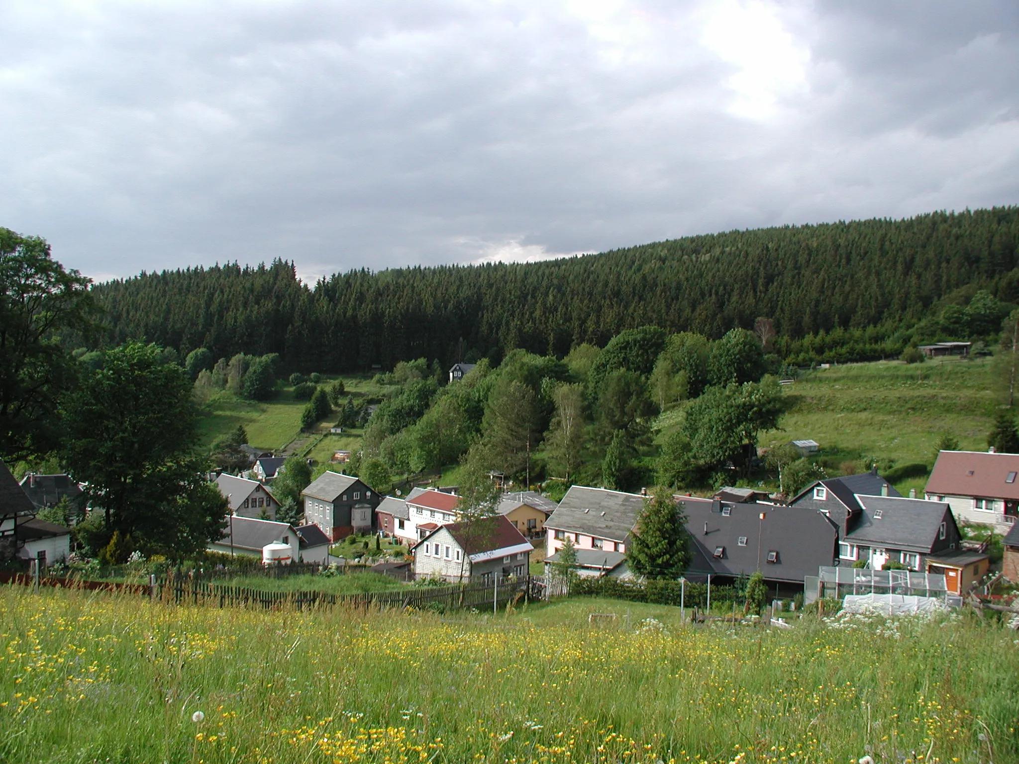
GehrenVillageGehren - A historic town with beautiful architecture.
15 km
15 km
Hopfberg648 mPeakHopfberg - A challenging gravel climb with breathtaking views.
27 km
27 km
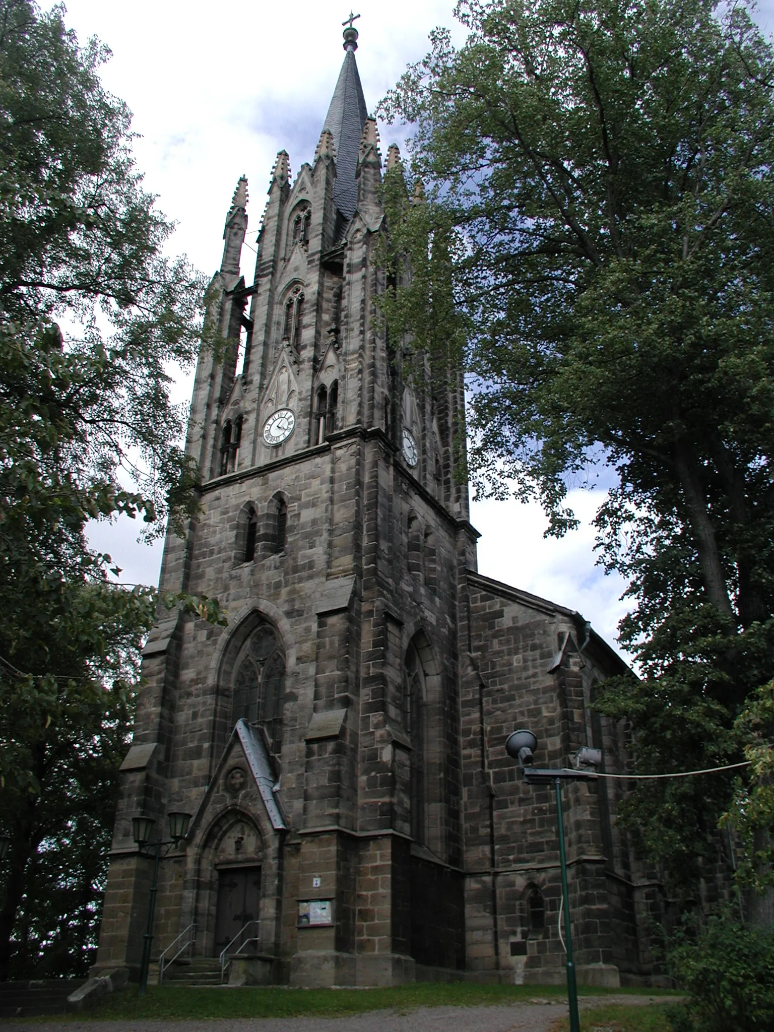
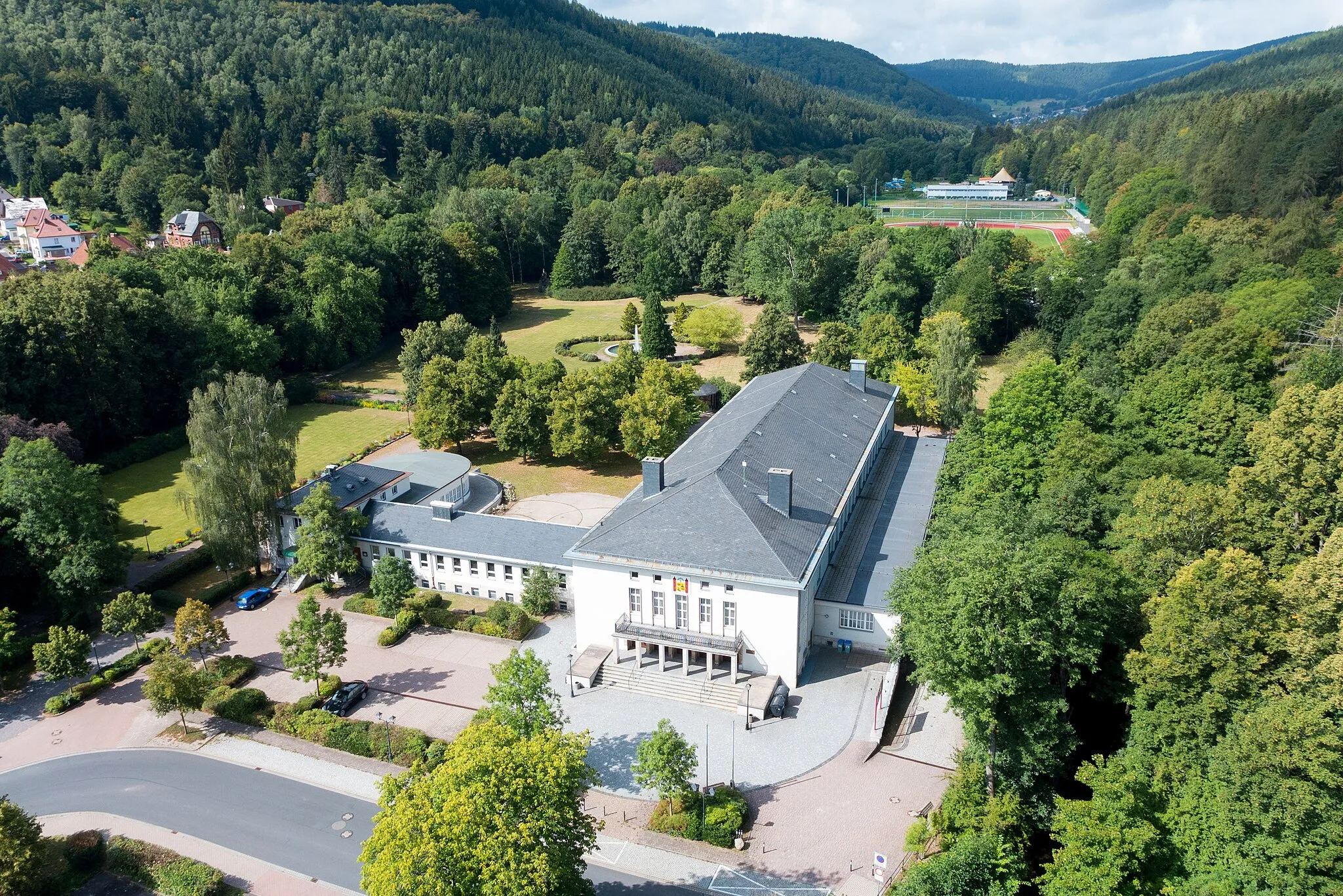
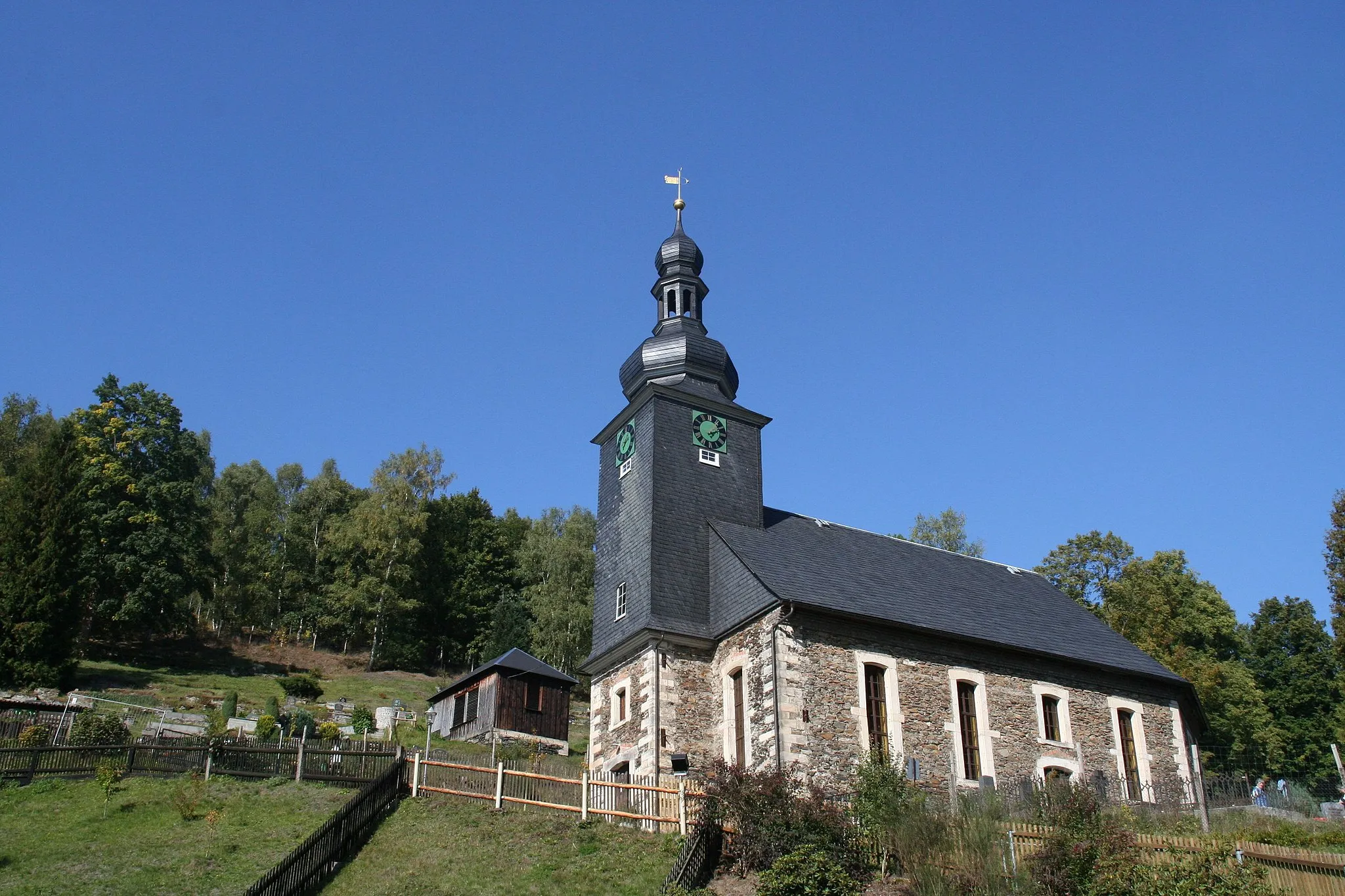
Neuhaus am RennwegTownNeuhaus am Rennweg - A charming town with a rich cultural heritage and excellent local cuisine.
34 km
34 km
Hoher Schuss819 mPeakHoher Schuss - A scenic viewpoint offering panoramic vistas of the Thuringian landscape.
58 km
58 km
Müllersberg580 mPeakMüllersberg - A picturesque hill with stunning views over the surrounding countryside.
59 km
59 km
Mönchsberg608 mVillageMönchsberg - A quiet peak with beautiful trails that wind through the forest.
82 km
82 km
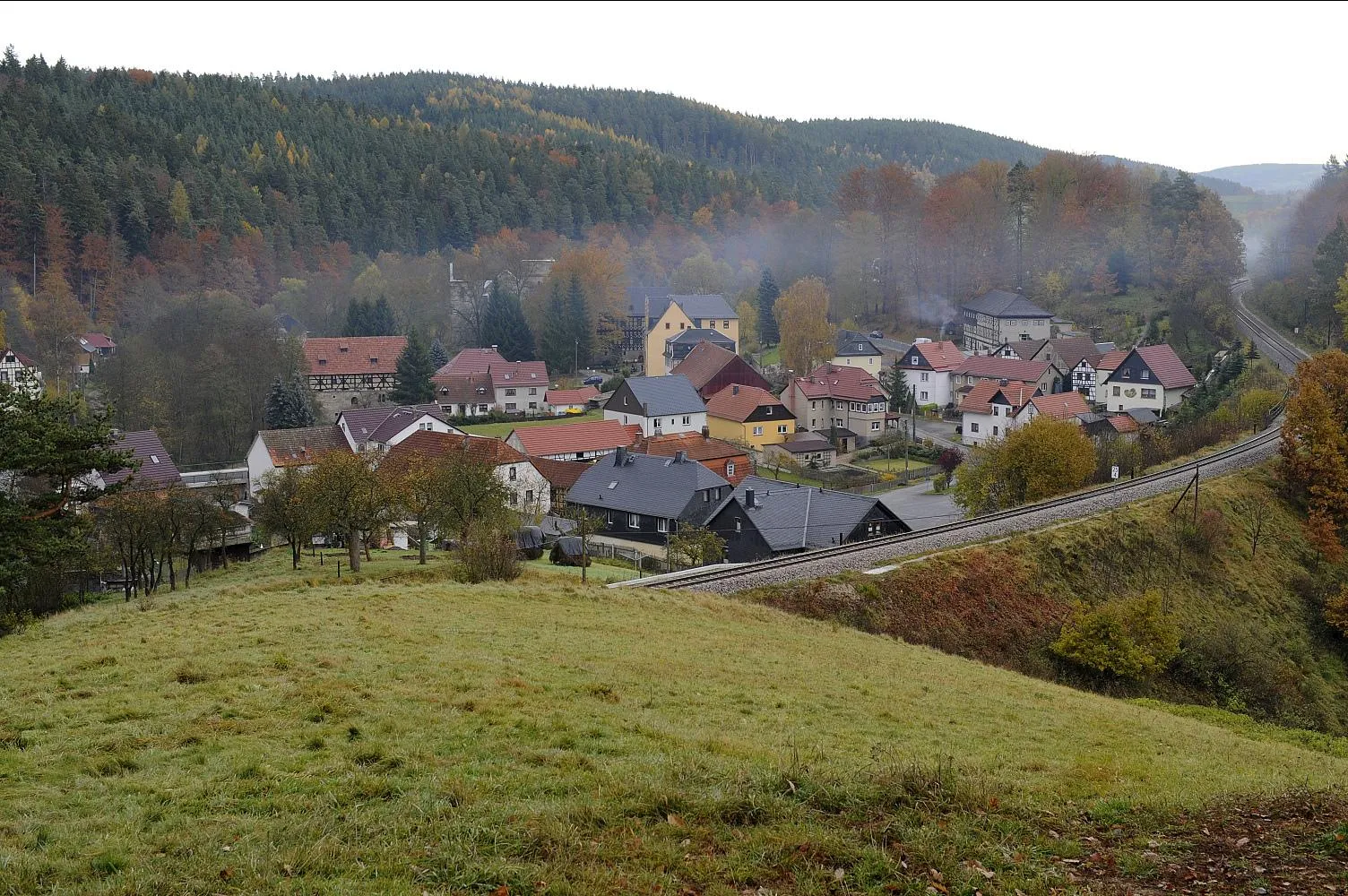
SteinheidVillageSteinheid - A quaint village known for its traditional crafts and charming atmosphere.
83 km
83 km
Kieferle867 mShelterKieferle - A peaceful woodland area with scenic paths and great opportunities for birdwatching.
91 km
91 km
Großer Farmdenkopf868 mPeakGroßer Farmdenkopf - A secluded peak with breathtaking vistas of the Thuringian landscape.
108 km
108 km
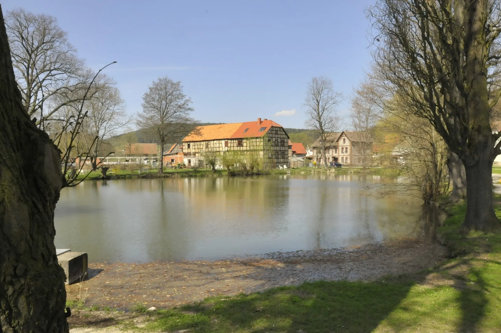
GillersdorfVillageGillersdorf - A charming village surrounded by rolling countryside, perfect for a rest stop and some local delicacies.
114 km
114 km
Finish: Gehren Village centerGehren: Scenic Cycling in Thüringen
Cycling routes from Gehren:
Cycling routes nearby: