Thuringian Hills Loop
A road cycling route starting from Gehren
Experience the scenic hills and charming towns of Thuringia on this road cycling route.
Map
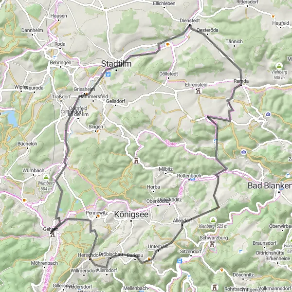
The Thuringian Hills Loop is a road cycling route that takes you through the rolling hills and picturesque towns of Thüringen. With a total ascent of 1018 meters over a distance of 72 kilometers, this route offers a mix of challenging climbs and enjoyable descents. The highlights along the route include the Buchberg, an impressive hill with panoramic views; Stadtilm, a charming town with well-preserved medieval architecture; and the Barigauer Höhe, a popular viewpoint overlooking the surrounding countryside. Overall, the Thuringian Hills Loop is a scenic and rewarding cycling experience.
road
72 km
1018 m
Tough
Route profile
Highlights on the route
0 km
0 km
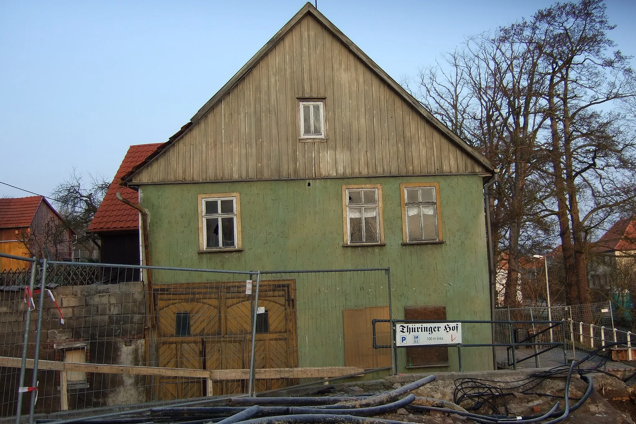
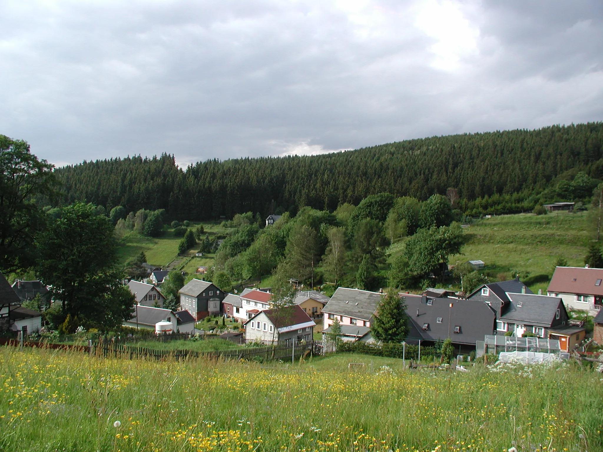
Start: Gehren Village centerGehren: Scenic Cycling in Thüringen
Gehren, situated in Thüringen, Germany, is a cycling-friendly locality that offers scenic routes for road and gravel cyclists. The region is known for its peaceful countryside and picturesque landscapes. Cyclists can enjoy riding through rolling hills and explore charming villages. Gehren is also close to the famous Rennsteig, a popular long-distance hiking and cycling trail. Overall, Gehren is a great destination for cyclists seeking beautiful views and peaceful rides.17 km
17 km
Buchberg458 mPeakBuchberg - A hill with stunning panoramic views of the Thuringian landscape.
17 km
17 km
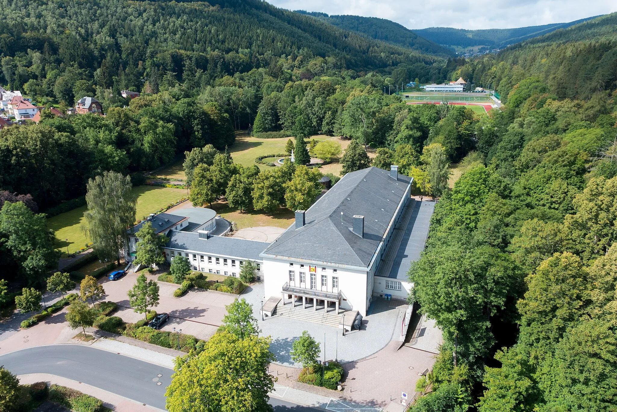
StadtilmTownStadtilm - A medieval town with well-preserved buildings and streets.
25 km
25 km
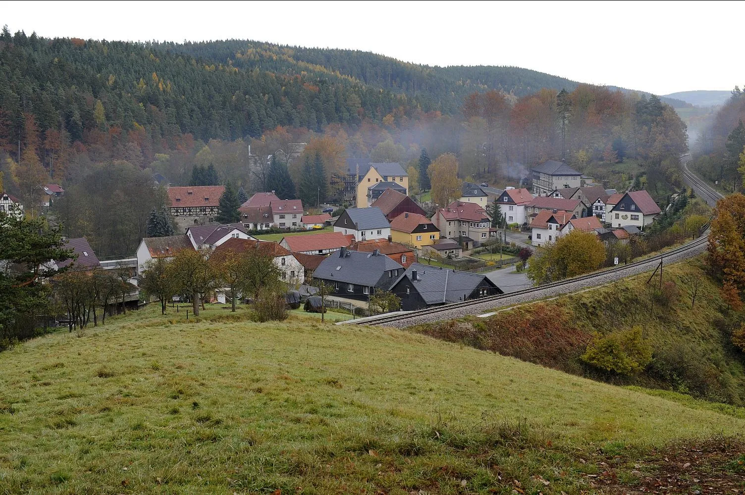
DienstedtVillageDienstedt - A picturesque village nestled in the hills.
40 km
40 km
Mittelberg469 mPeakMittelberg - A scenic hill offering beautiful vistas over the surrounding countryside.
58 km
58 km
Barigauer Höhe665 mPeakBarigauer Höhe - A popular viewpoint with panoramic views.
61 km
61 km
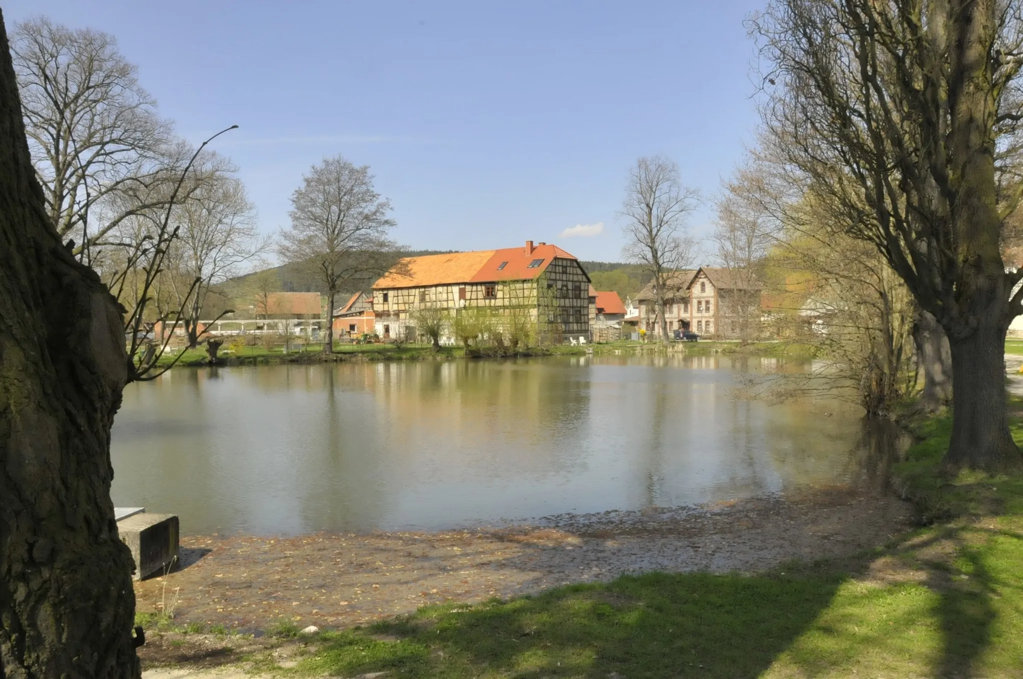
DröbischauVillageDröbischau - A charming village with traditional timber-framed houses.
70 km
70 km
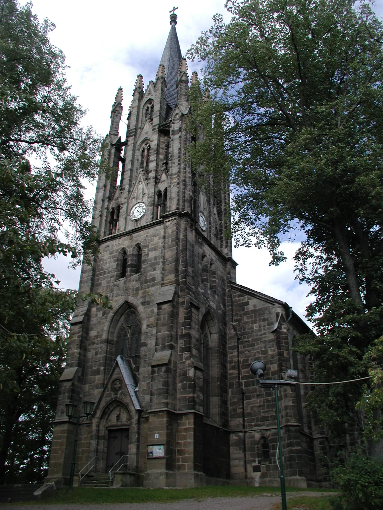
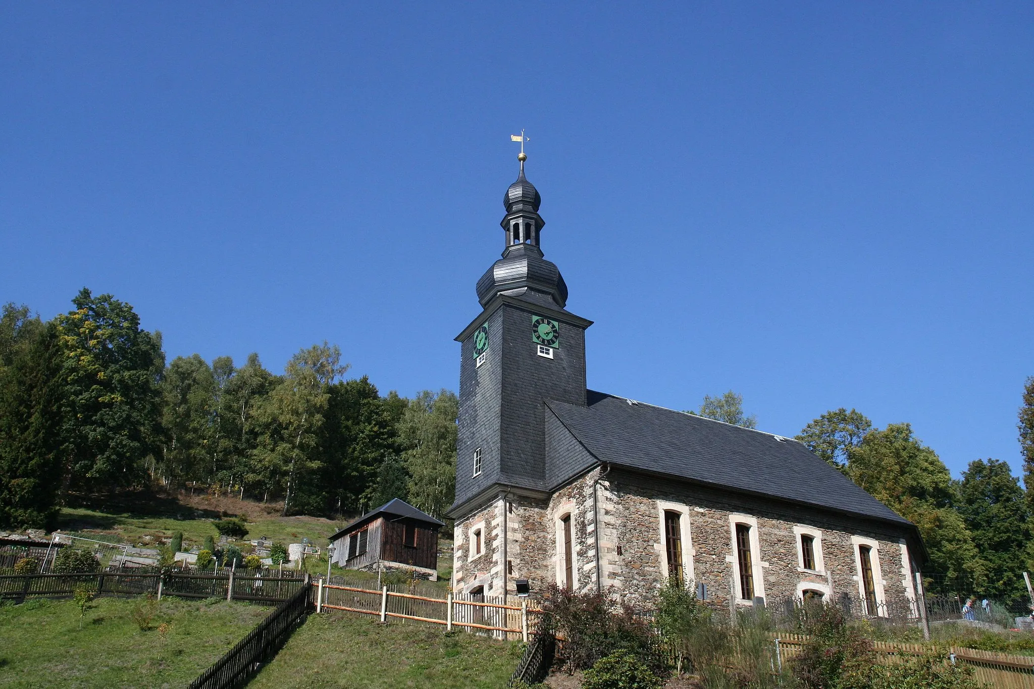
JesubornVillageJesuborn - A quiet hamlet with a historic church and stunning views.
72 km
72 km
Finish: Gehren Village centerGehren: Scenic Cycling in Thüringen
Cycling routes from Gehren:
Cycling routes nearby: