Thuringian Forest Grand Tour
A road cycling route starting from Gehren
Embark on the ultimate cycling adventure in the Thuringian Forest.
Map
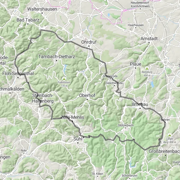
The Thuringian Forest Grand Tour is an epic road cycling route that takes you on a scenic journey through the diverse landscapes of the Thuringian Forest. With a total ascent of 2167 meters over a distance of 132 kilometers, this route is physically demanding but incredibly rewarding. The highlights along the route include the Großer Dreiherrnstein, the highest point in the Thuringian Forest; Schmiedefeld am Rennsteig, a charming village known for its traditional architecture; and the Lerchenberg, a hill with panoramic views over the forest. Overall, the Thuringian Forest Grand Tour is a truly unforgettable cycling experience.
road
132 km
2167 m
Savage
Route profile
Highlights on the route
0 km
0 km
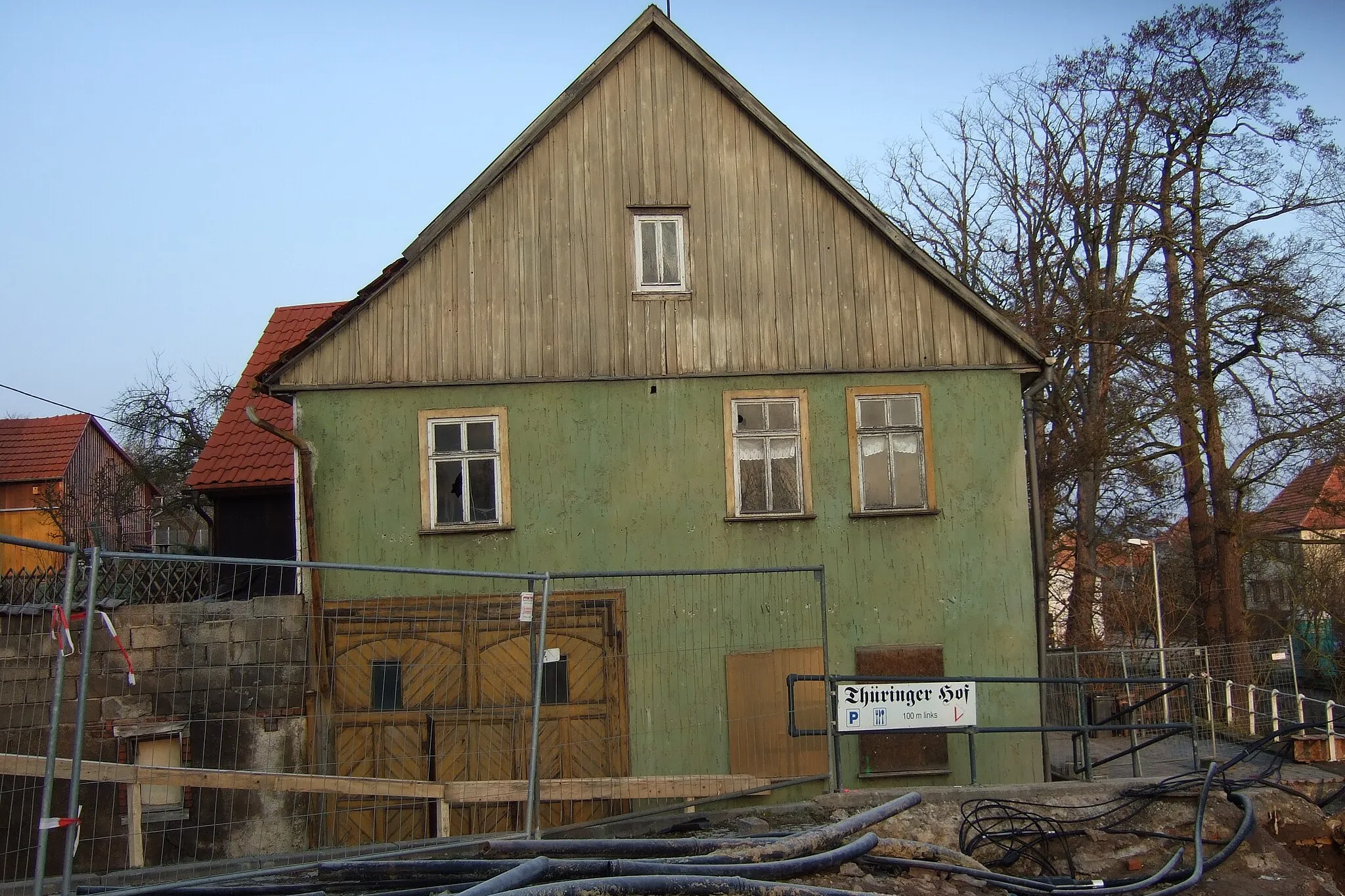
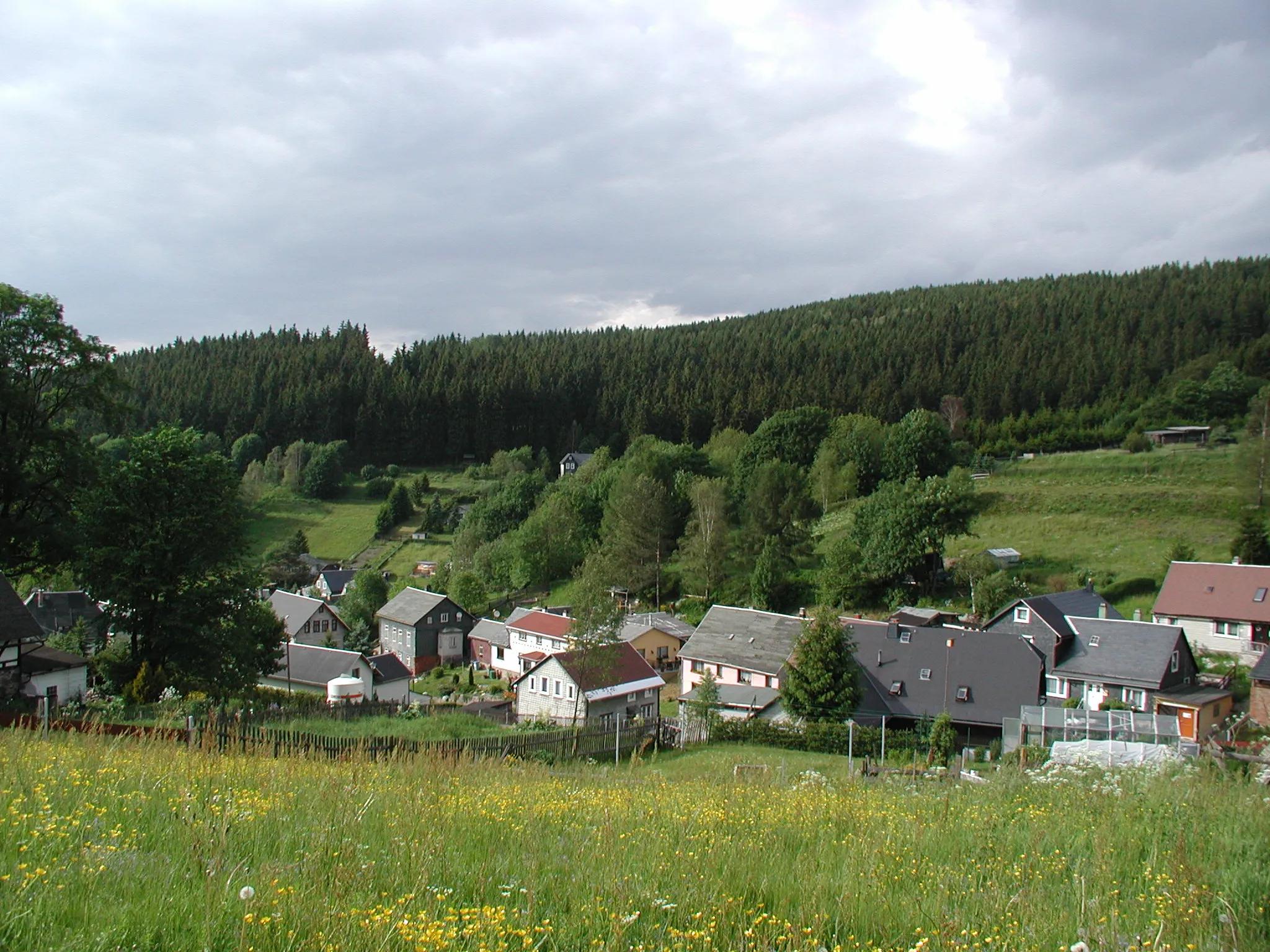
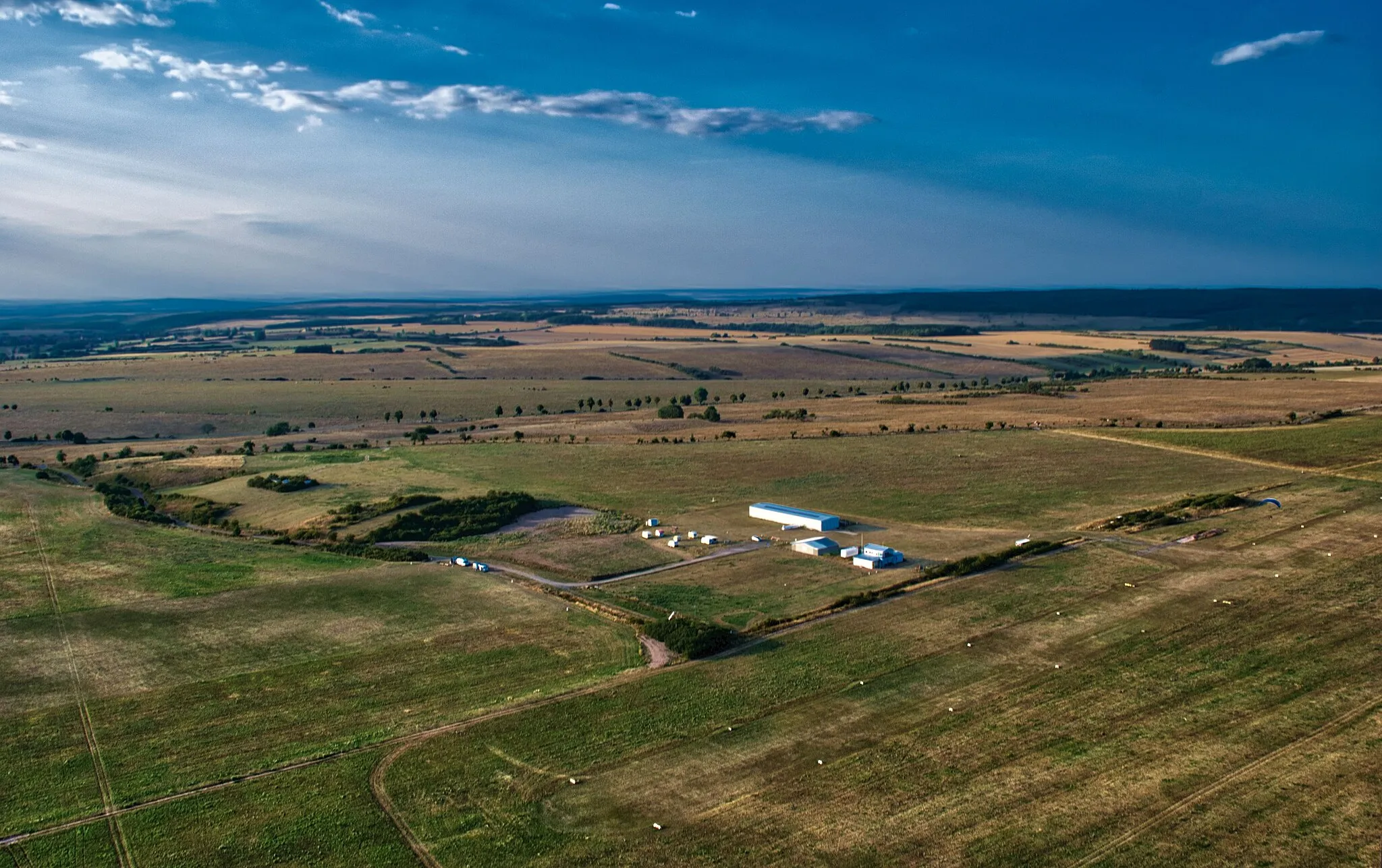
Start: Gehren Village centerGehren: Scenic Cycling in Thüringen
Gehren, situated in Thüringen, Germany, is a cycling-friendly locality that offers scenic routes for road and gravel cyclists. The region is known for its peaceful countryside and picturesque landscapes. Cyclists can enjoy riding through rolling hills and explore charming villages. Gehren is also close to the famous Rennsteig, a popular long-distance hiking and cycling trail. Overall, Gehren is a great destination for cyclists seeking beautiful views and peaceful rides.0 km
0 km
GehrenVillageGehren - A historic town with beautiful architecture and a great starting point for the tour.
15 km
15 km
Großer Dreiherrnstein838 mPeakGroßer Dreiherrnstein - The highest point in the Thuringian Forest with breathtaking views.
24 km
24 km
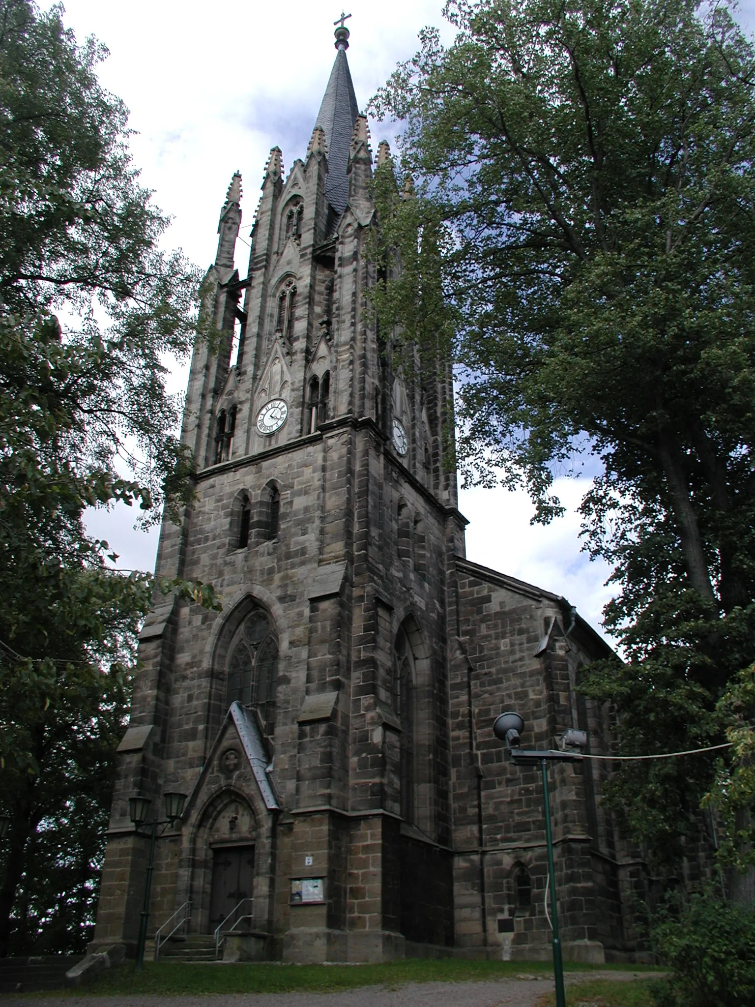
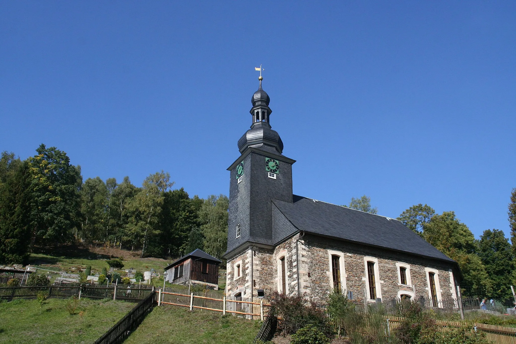
Schmiedefeld am RennsteigVillageSchmiedefeld am Rennsteig - A popular stop along the Rennsteig trail, offering a wide range of amenities for cyclists.
27 km
27 km
Großer Eisenberg907 mPeakGroßer Eisenberg - A challenging climb with rewarding panoramic views.
41 km
41 km
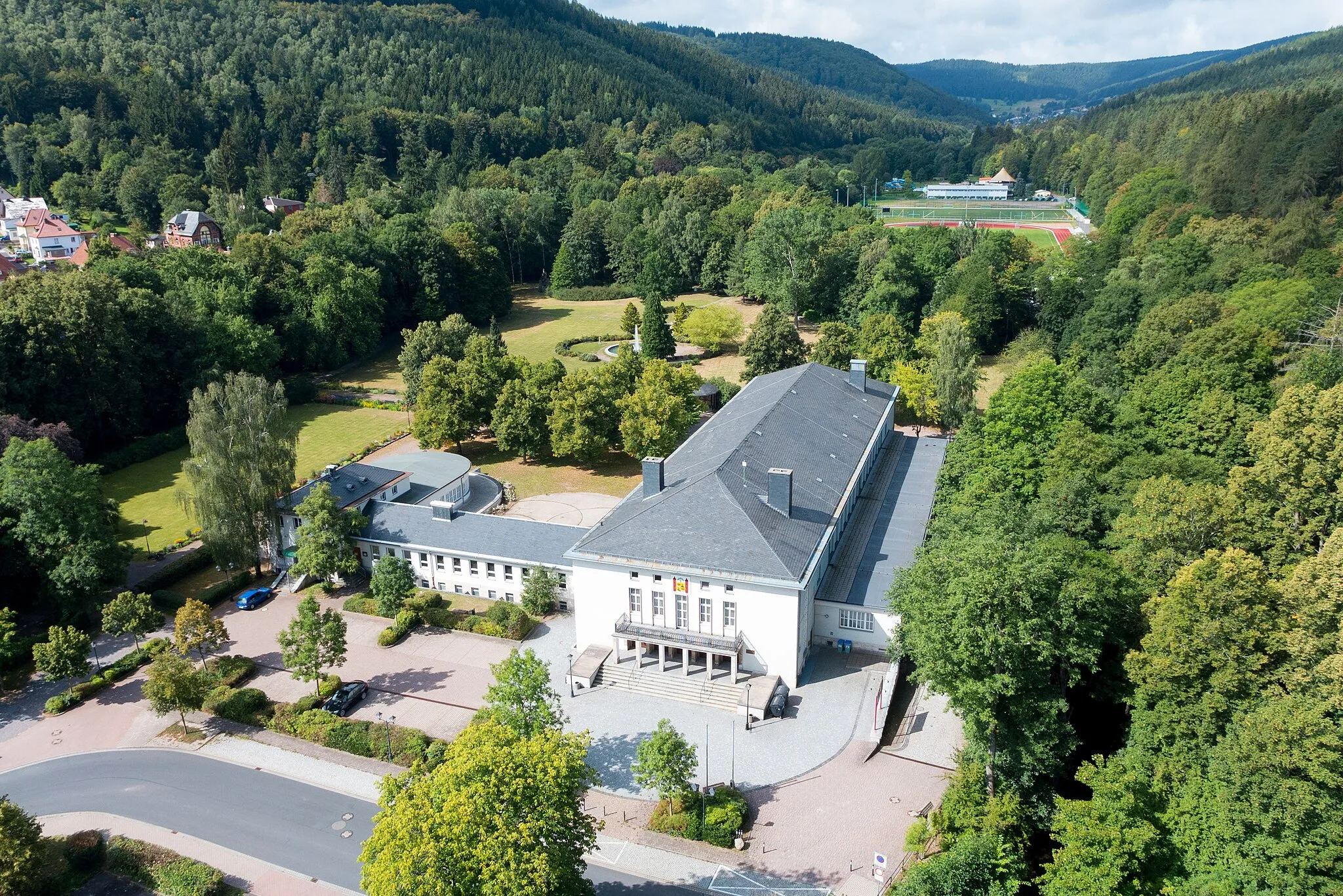
Zella-MehlisTownZella-Mehlis - A town known for its winter sports facilities and hiking trails.
42 km
42 km
Lerchenberg548 mPeakLerchenberg - A hill with panoramic views over the Thuringian Forest.
56 km
56 km
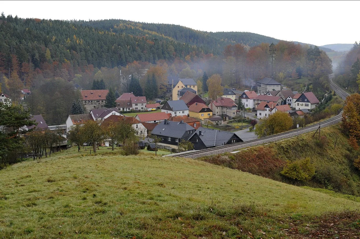
Steinbach-HallenbergTownSteinbach-Hallenberg - A picturesque town with well-preserved half-timbered houses.
62 km
62 km
Hohe Rod558 mPeakHohe Rod - A unique rock formation offering stunning views over the surrounding area.
84 km
84 km
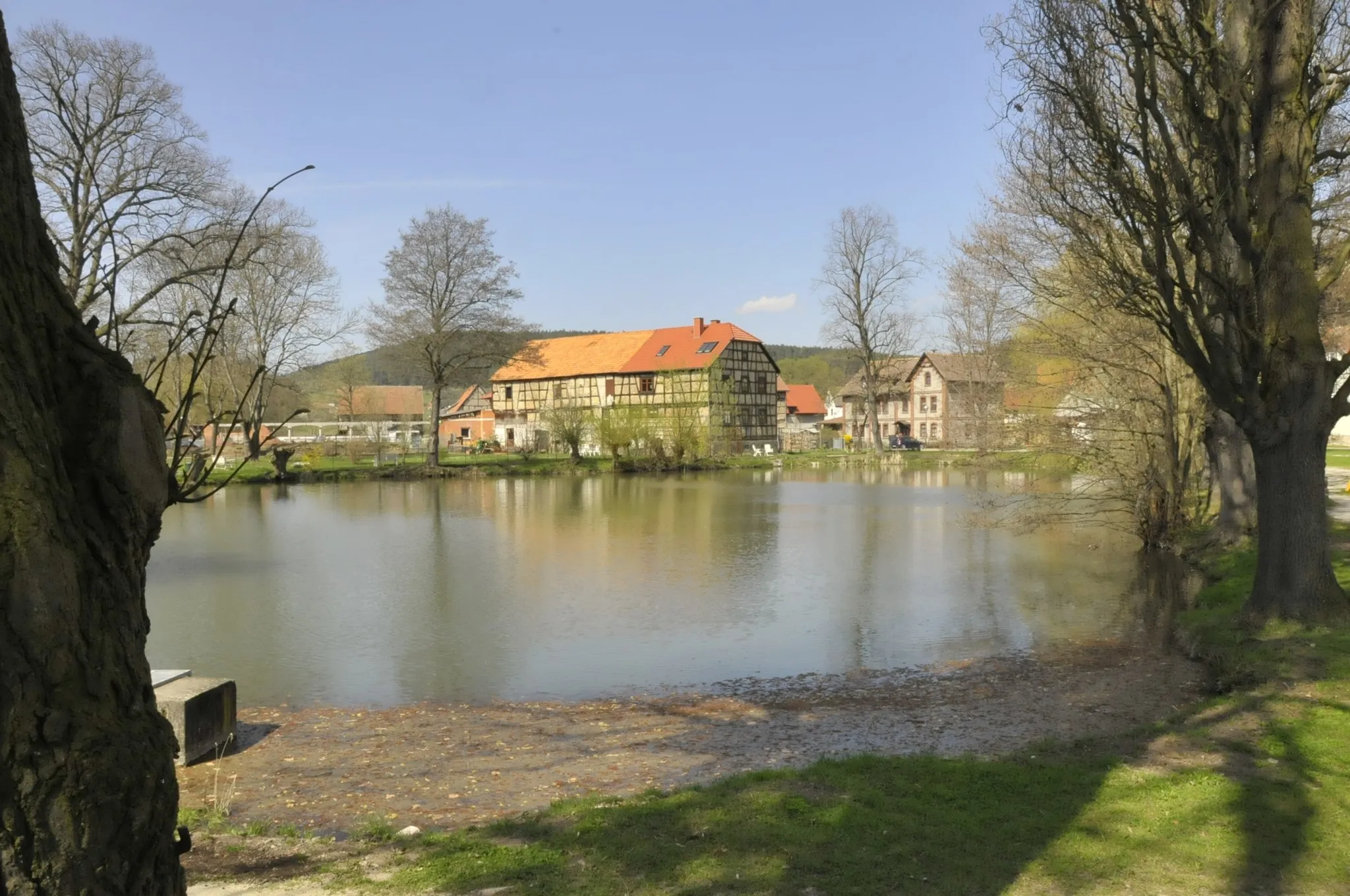
FriedrichrodaTownFriedrichroda - A charming town with a rich history and beautiful architecture.
86 km
86 km
Körnberg633 mPeakKörnberg - A small mountain village known for its traditional crafts and cultural events.
99 km
99 km
Goldberg454 mPeakGoldberg - A hill with panoramic views and historic ruins.
104 km
104 km
CrawinkelVillageCrawinkel - A historic village with well-preserved half-timbered houses.
118 km
118 km
ElgersburgVillageElgersburg - A medieval castle with stunning views over the surrounding forests.
122 km
122 km
Sturmheide620 mPeakSturmheide - A nature reserve with diverse flora and fauna.
130 km
130 km
Großer Tragberg588 mPeakGroßer Tragberg - A hill with beautiful viewpoints and hiking trails.
132 km
132 km
Finish: Gehren Village centerGehren: Scenic Cycling in Thüringen
Cycling routes from Gehren:
Cycling routes nearby: