Gravel Circuit with Cultural Highlights
A gravel cycling route starting from Katzhuette
Immerse yourself in the cultural heritage and scenic beauty of this gravel circuit.
Map
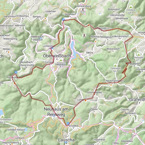
This gravel circuit near Katzhütte takes you through a perfect blend of natural beauty and cultural gems. With a distance of 63 km and a total ascent of 1457 m, the route offers challenging gravel sections and rewarding downhill descents. Explore historic sites such as the Rosenberg and Lindigkopf, and enjoy the stunning landscapes of Neuhaus am Rennweg.
gravel
63 km
1457 m
Tough
Route profile
Highlights on the route
0 km
0 km
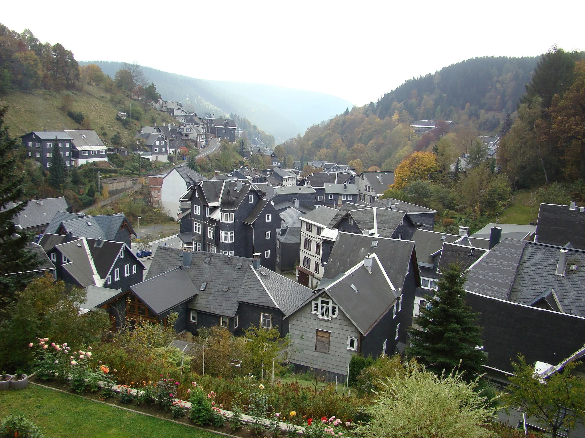
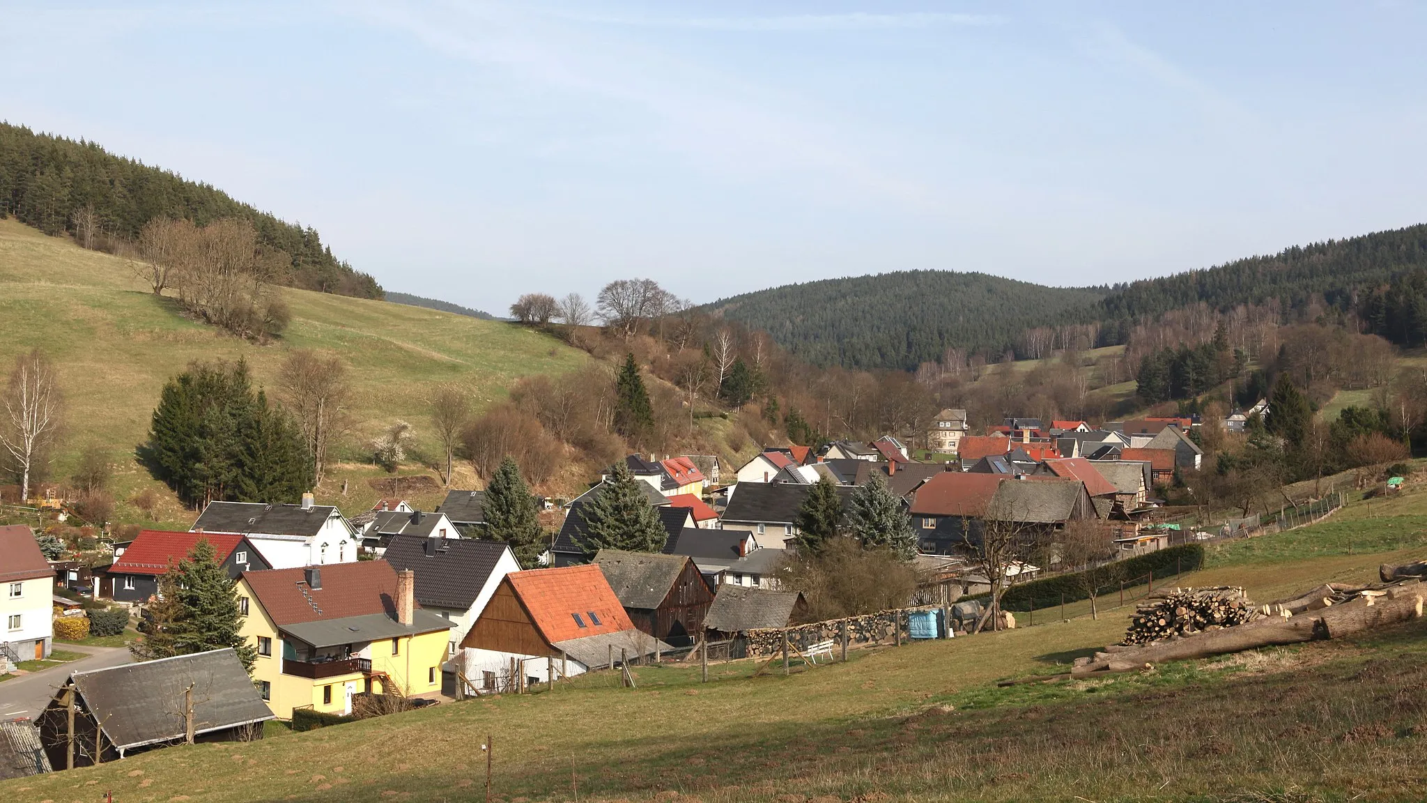
Start: Katzhütte Village centerKatzhütte: Idyllic German town ideal for exploring the Rennsteig trail on two wheels.
Katzhütte is a locality situated in Thüringen, Germany. As a cyclist, you'll enjoy the scenic roads and picturesque landscapes that surround Katzhütte. The region offers a mix of challenging climbs and tranquil countryside rides. One famous cycling spot nearby is the Rennsteig, a historic hiking trail that can also be tackled on a bicycle. Overall, Katzhütte is a great destination for road and gravel cycling, with various routes available for all skill levels.3 km
3 km
Rosenberg716 mPeakRosenberg is a hidden gem, featuring a well-preserved castle ruin and panoramic views of the Thuringian Forest.
7 km
7 km
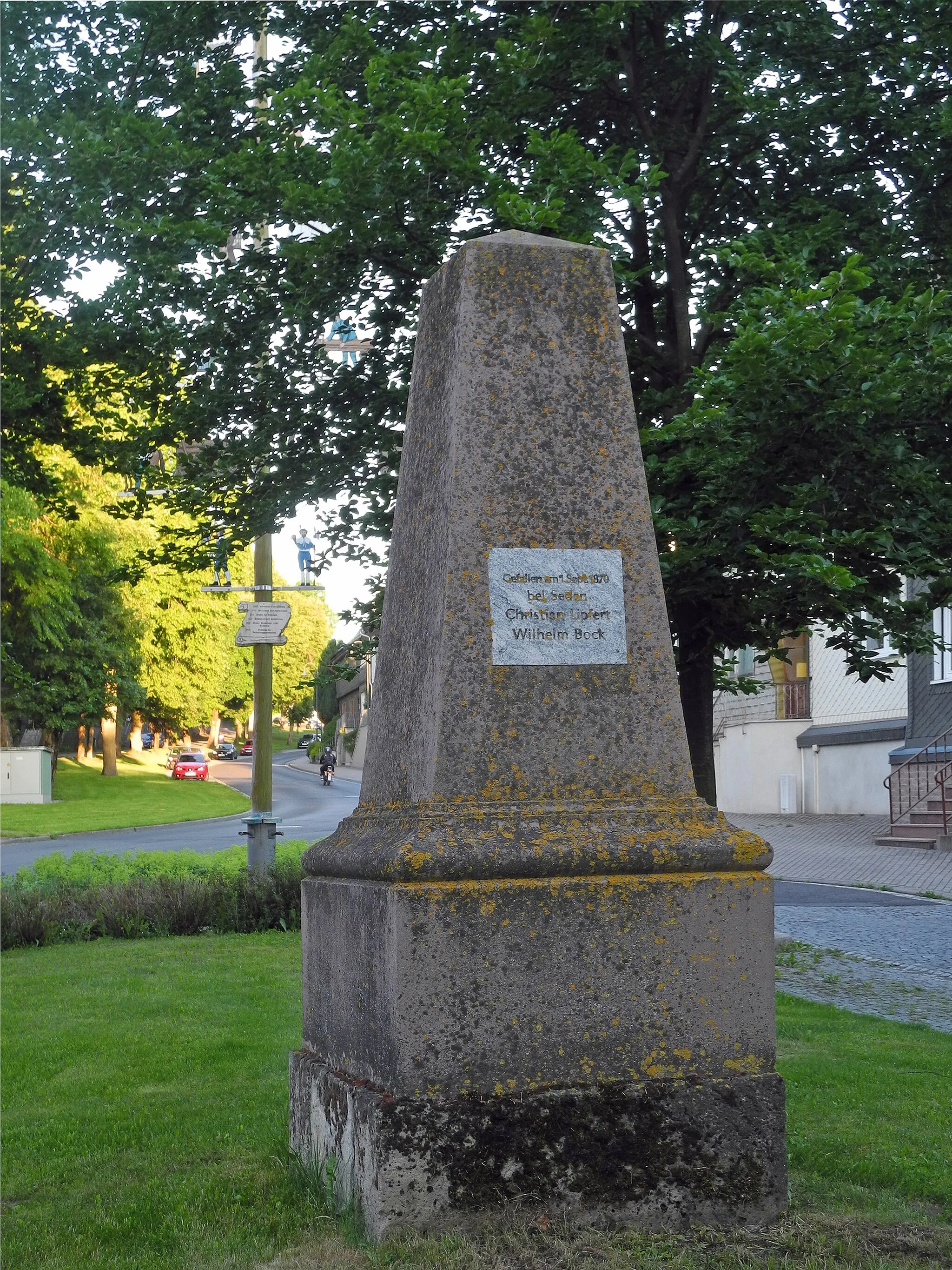
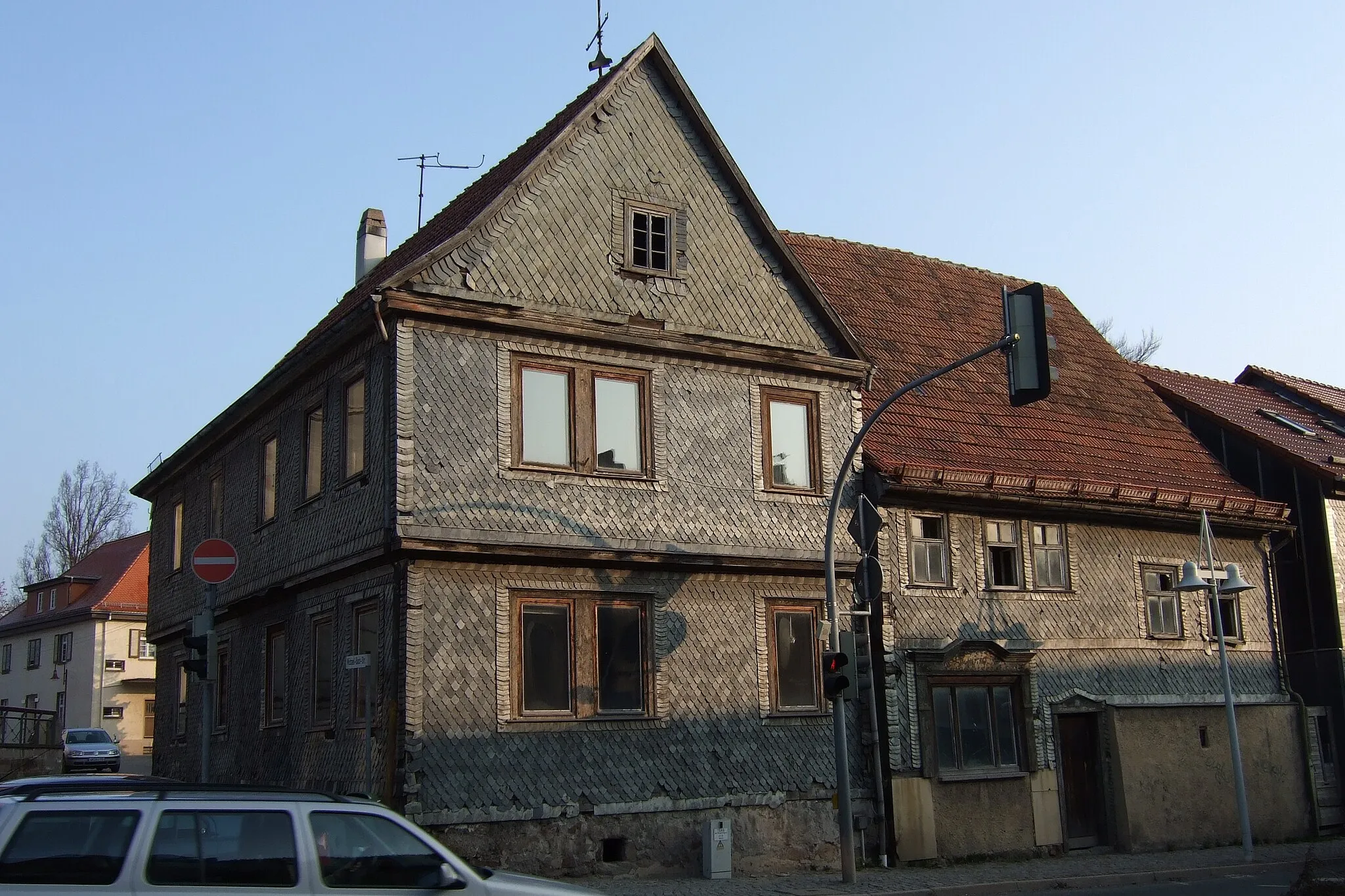
CursdorfVillageCursdorf is a picturesque village with traditional half-timbered houses and tranquil parks, offering a peaceful escape into nature.
19 km
19 km
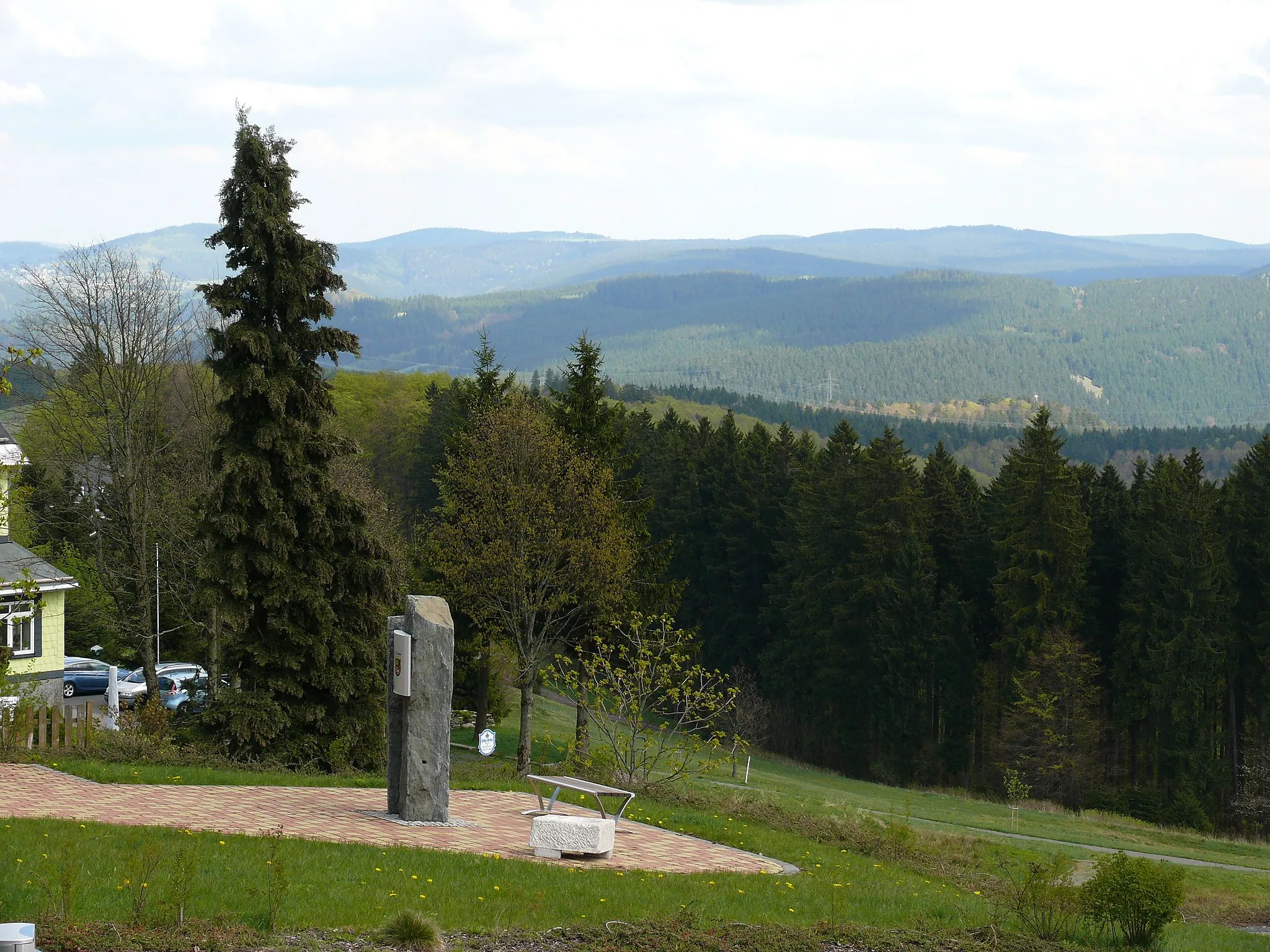
Telegraph685 mPeakTelegraph is a historic communications tower, providing insight into the region's past and offering breathtaking views from its observation deck.
22 km
22 km
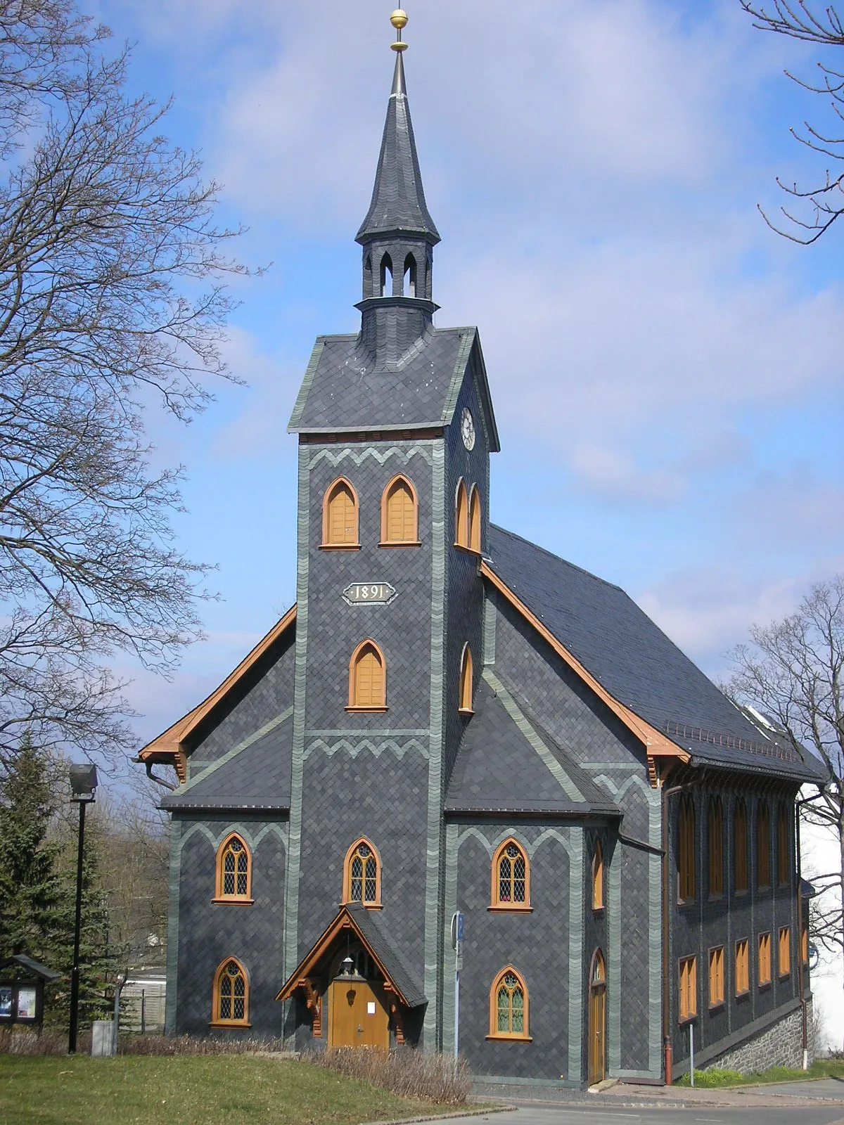
DöschnitzVillageDöschnitz is surrounded by lush forests and presents an ideal retreat for nature lovers, with its serene hiking trails and peaceful ambiance.
32 km
32 km
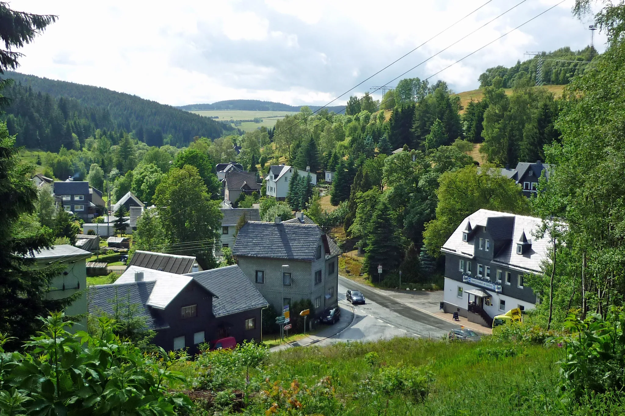
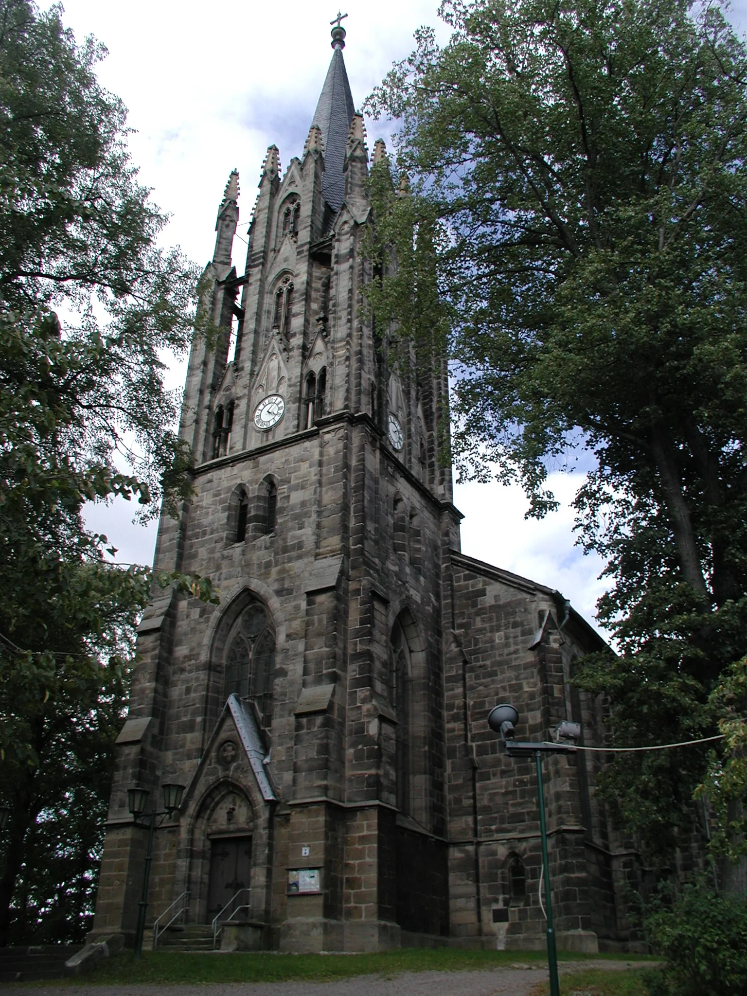
PippelsdorfVillagePippelsdorf is a scenic village with a charming church and beautiful views over the Saale Valley, perfect for a coffee break.
36 km
36 km
Lange Wand642 mPeakLange Wand is a popular hiking and cycling spot, featuring a limestone cliff with spectacular cave systems and unique rock formations.
42 km
42 km
Rauhhügel802 mPeakRauhhügel offers a thrilling downhill section with technical gravel trails and natural obstacles, providing a challenging and exciting experience for avid cyclists.
53 km
53 km
Neuhaus am RennwegTownNeuhaus am Rennweg is a charming town rich in history and is known as the metropolis of the Thuringian Forest, offering a vibrant cultural scene and stunning natural landscapes.
59 km
59 km
Lindigkopf739 mPeakLindigkopf is a strategic lookout point with commanding views of the Thuringian Forest, rewarding riders with a sense of achievement.
63 km
63 km
KatzhütteVillageKatzhütte is a quaint village famous for its long-standing tradition of ceramic artistry and a visit to the local ceramic workshops is a sight not to be missed.
63 km
63 km
Finish: Katzhütte Village centerKatzhütte: Idyllic German town ideal for exploring the Rennsteig trail on two wheels.
Cycling routes from Katzhuette:
Scenic Thuringian Road Loop Thüringer Wald Loop Rennsteig Adventure: Off the Beaten Path Rennsteig Gravel Challenge Thuringian Countryside Loop Gravel Adventure: Thuringian Forest Ride Historical Road Ride: Exploring Thuringia's Past Gravel Adventure in Thüringen Thuringian Hill Loop Grendel Forest Gravel Escape Gravel Circuit with Cultural Highlights Milchberg Scenic Road Cycling Route Offroad Adventure to Goldisthal Meuselbacher Kuppe Road Cycling Route Scenic Tour to Pumpspeicherwerk Goldisthal Harz and Thuringian Forest Adventure
Cycling routes nearby: