Gravel Adventure in Thüringen
A gravel cycling route starting from Katzhuette
Embark on an exciting gravel adventure through the scenic landscapes of Thüringen.
Map
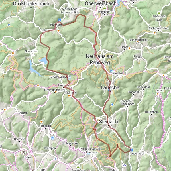
If you're looking for an off-road adventure, this gravel cycling route in Thüringen is perfect for you. Covering a distance of 66 kilometers and featuring an ascent of 1491 meters, this route will challenge even experienced cyclists. Along the way, you'll pass through picturesque villages, enchanting forests, and breathtaking viewpoints.
gravel
66 km
1491 m
Tough
Route profile
Highlights on the route
0 km
0 km
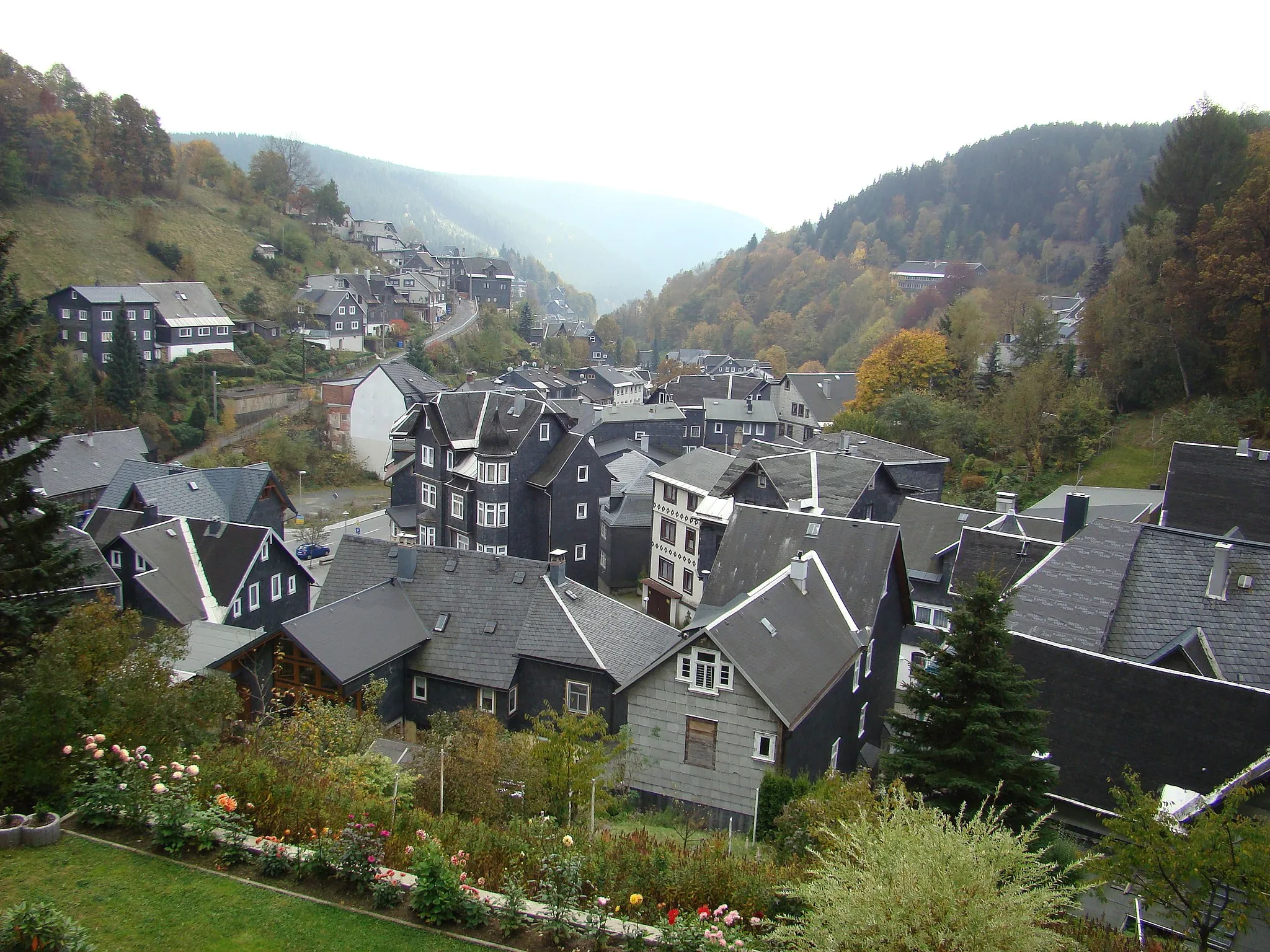
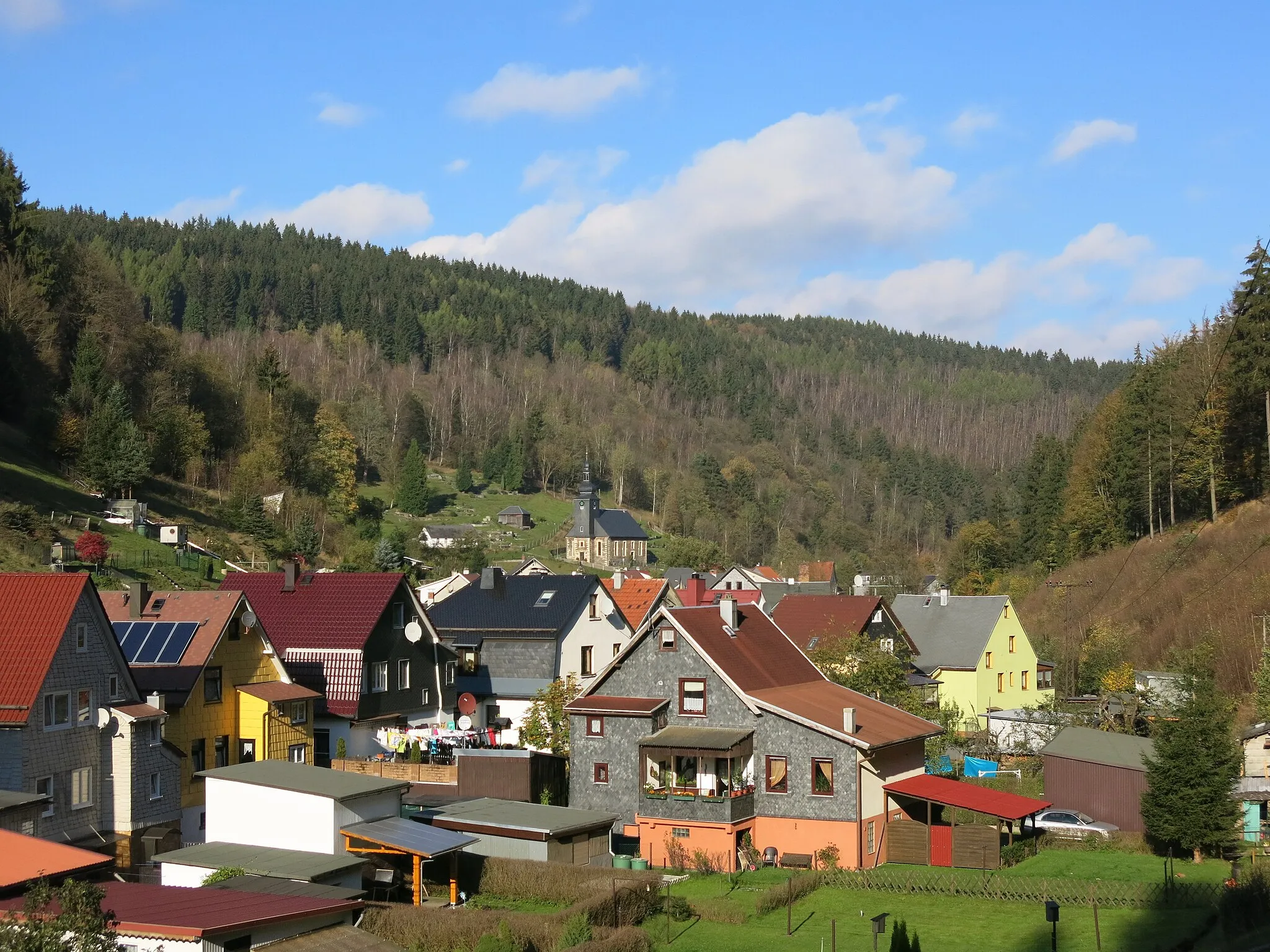
Start: Oelze Village centerKatzhütte: Idyllic German town ideal for exploring the Rennsteig trail on two wheels.
Katzhütte is a locality situated in Thüringen, Germany. As a cyclist, you'll enjoy the scenic roads and picturesque landscapes that surround Katzhütte. The region offers a mix of challenging climbs and tranquil countryside rides. One famous cycling spot nearby is the Rennsteig, a historic hiking trail that can also be tackled on a bicycle. Overall, Katzhütte is a great destination for road and gravel cycling, with various routes available for all skill levels.2 km
2 km
KatzhütteVillageBegin and end your journey in Katzhütte, a quaint village surrounded by natural beauty.
5 km
5 km
Rosenberg716 mPeakRosenberg is a small village known for its traditional crafts and beautiful landscapes.
11 km
11 km
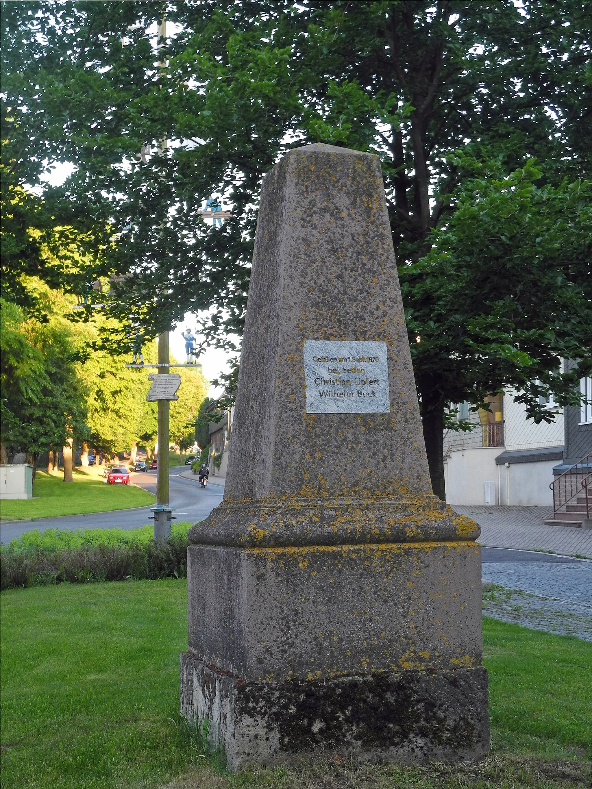
Hettstädt808 mPeakHettstädt offers a charming escape from city life with its peaceful countryside and quaint architecture.
21 km
21 km
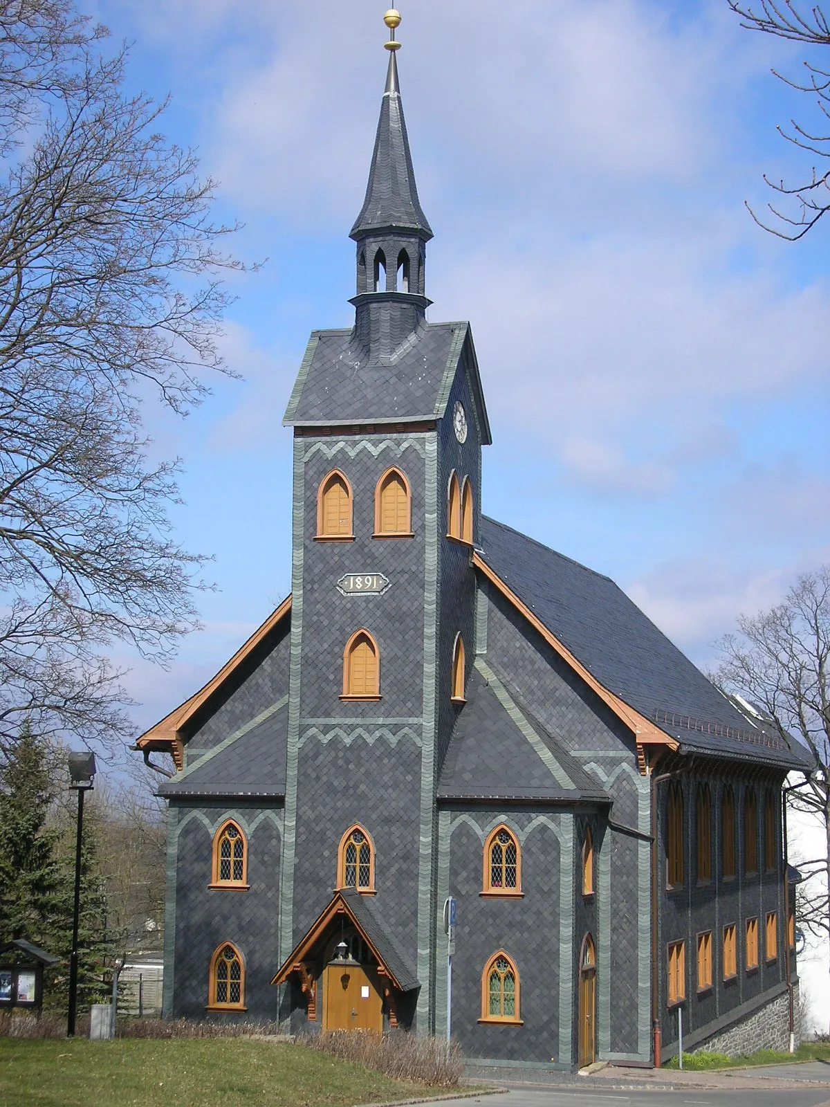
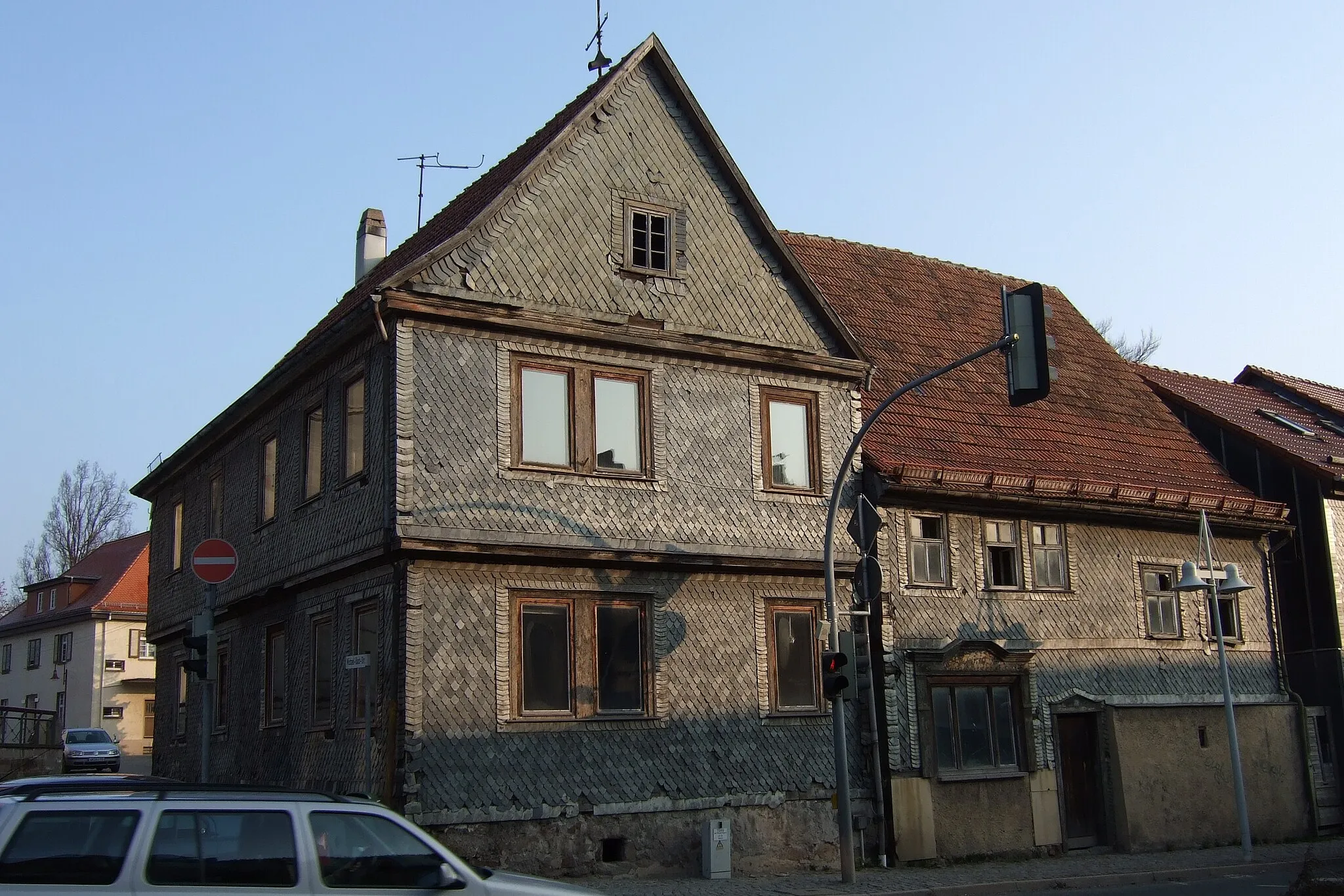
LauschaTownLauscha, famous for its glassblowing tradition, is a must-visit along the route.
27 km
27 km
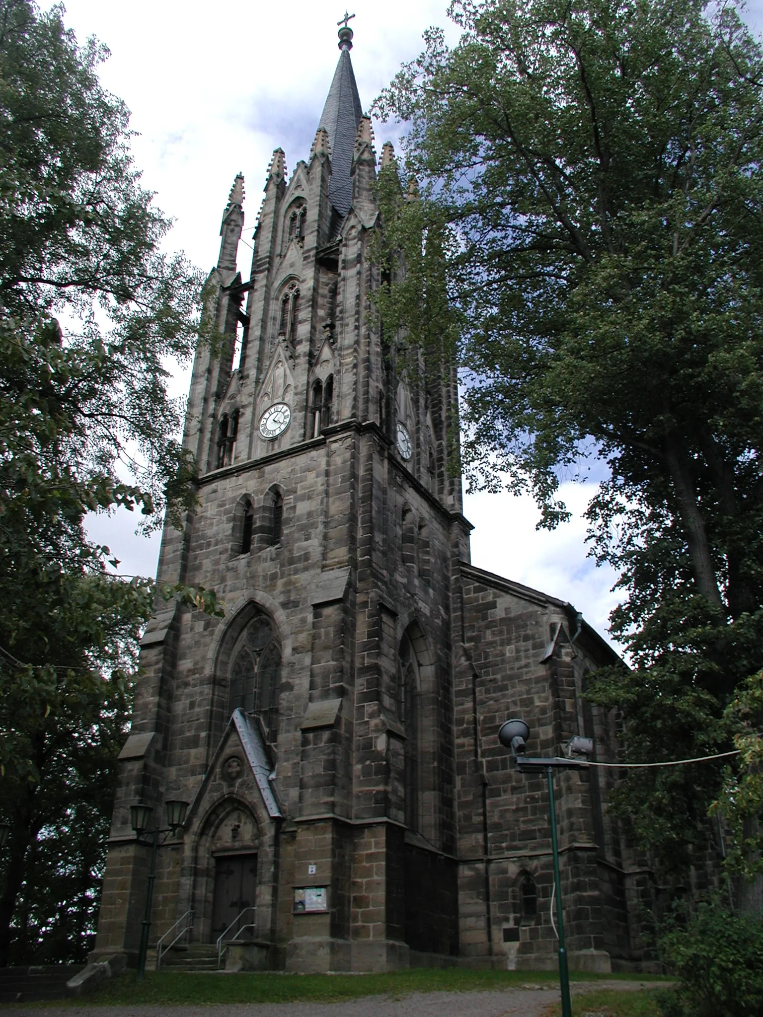
SteinachTownSteinach is a picturesque town known for its well-preserved medieval architecture.
36 km
36 km
Großer Mittelberg687 mPeakExperience the thrill of conquering Großer Mittelberg, a challenging climb with panoramic views.
51 km
51 km
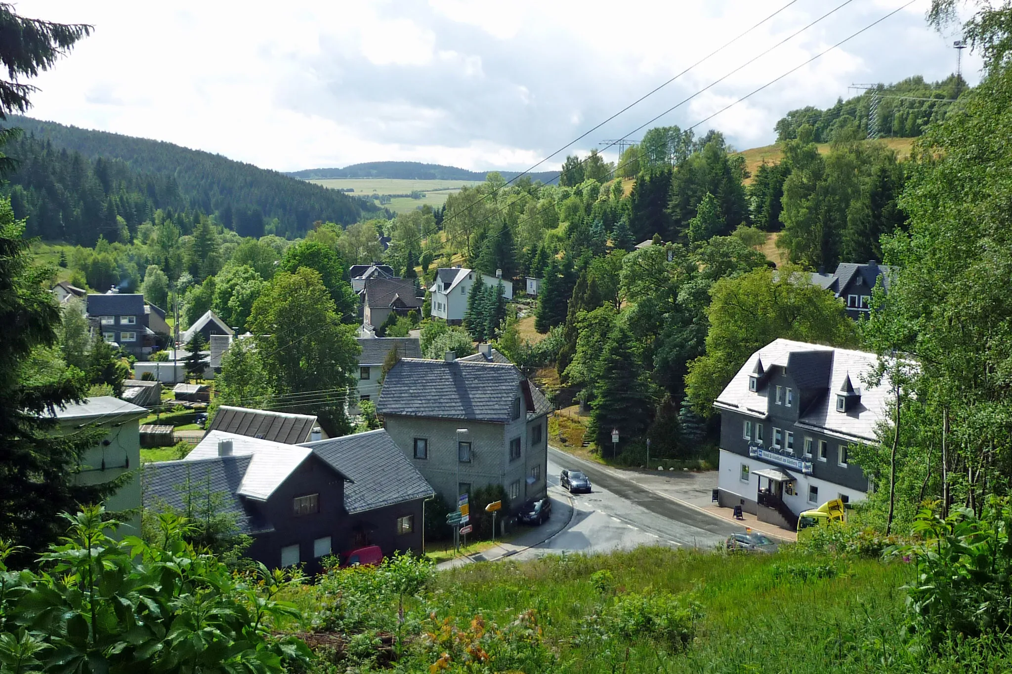
SteinheidVillageSteinheid is a charming village surrounded by dense forests and scenic beauty.
55 km
55 km
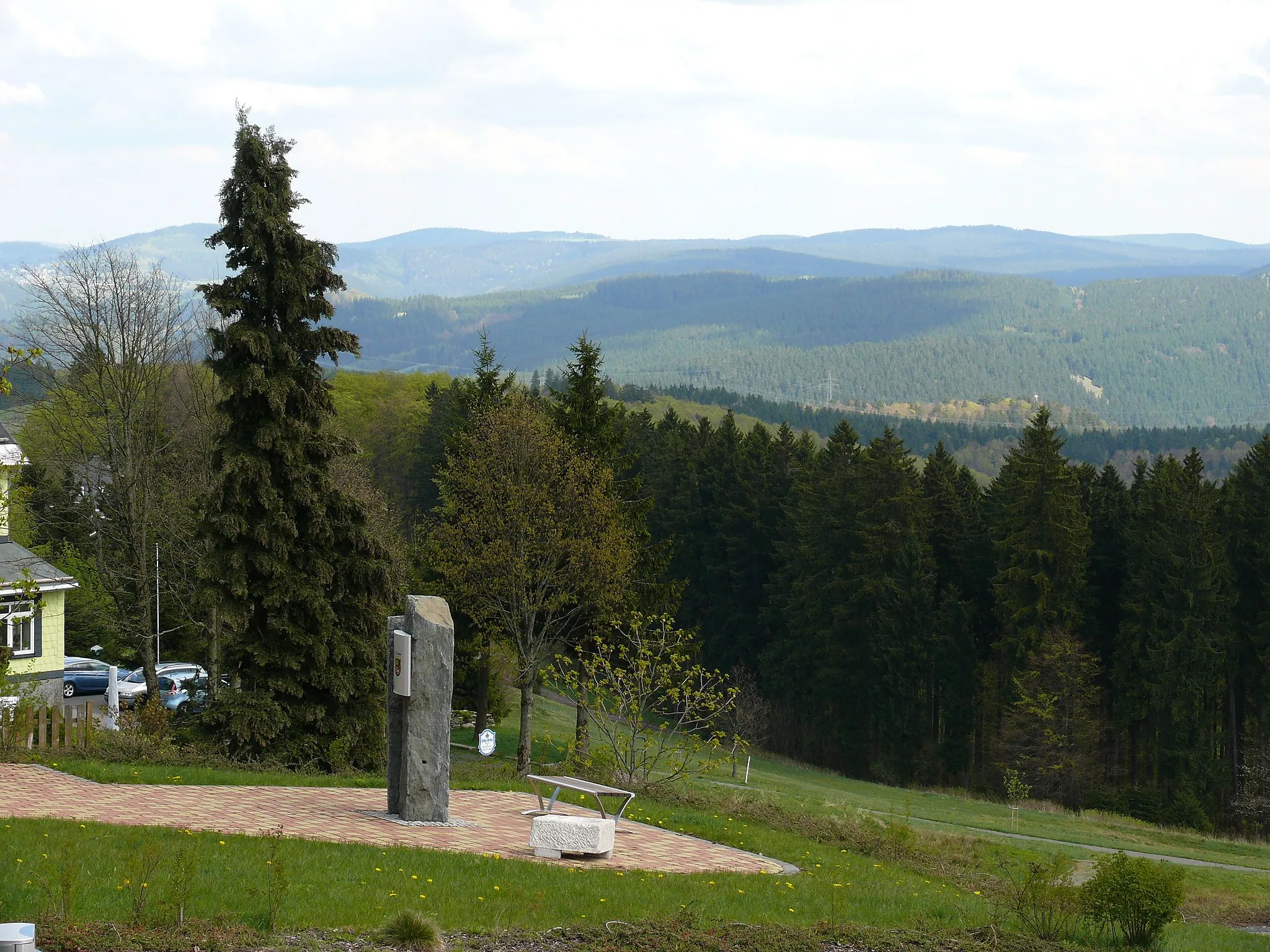
Sandberg834 mShelterSandberg offers stunning views of the Thüringer Schiefergebirge, a must-see for nature enthusiasts.
60 km
60 km
Großer Farmdenkopf868 mPeakGroßer Farmdenkopf is a remote summit with breathtaking vistas and tranquil surroundings.
66 km
66 km
OelzeVillageOelze is a small village surrounded by rolling hills and idyllic landscapes, perfect for a peaceful stop.
66 km
66 km
Finish: Oelze Village centerKatzhütte: Idyllic German town ideal for exploring the Rennsteig trail on two wheels.
Cycling routes from Katzhuette:
Scenic Thuringian Road Loop Thüringer Wald Loop Rennsteig Adventure: Off the Beaten Path Rennsteig Gravel Challenge Thuringian Countryside Loop Gravel Adventure: Thuringian Forest Ride Historical Road Ride: Exploring Thuringia's Past Gravel Adventure in Thüringen Thuringian Hill Loop Grendel Forest Gravel Escape Gravel Circuit with Cultural Highlights Milchberg Scenic Road Cycling Route Offroad Adventure to Goldisthal Meuselbacher Kuppe Road Cycling Route Scenic Tour to Pumpspeicherwerk Goldisthal Harz and Thuringian Forest Adventure
Cycling routes nearby: