Offroad Adventure to Goldisthal
A gravel cycling route starting from Katzhuette
Embark on an exciting gravel bike journey to Goldisthal, surrounded by scenic landscapes.
Map
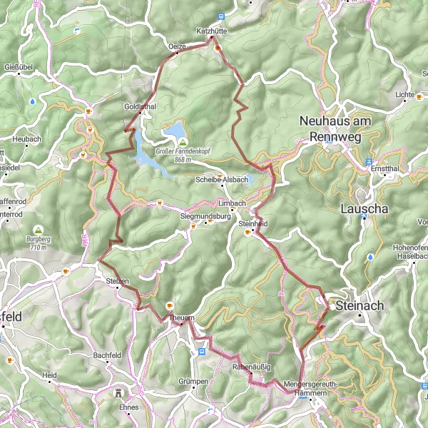
If you're looking for an off-road biking adventure near Katzhütte, this gravel cycling route to Goldisthal is the perfect choice. Covering a distance of 60 km with a total ascent of 1328 m, the route takes you through rugged forest trails and offers stunning panoramic views. The highlight of the route is the ride through the scenic Goldberg and a visit to the impressive Goldisthal pumped-storage power plant.
gravel
60 km
1328 m
Tough
Route profile
Highlights on the route
0 km
0 km
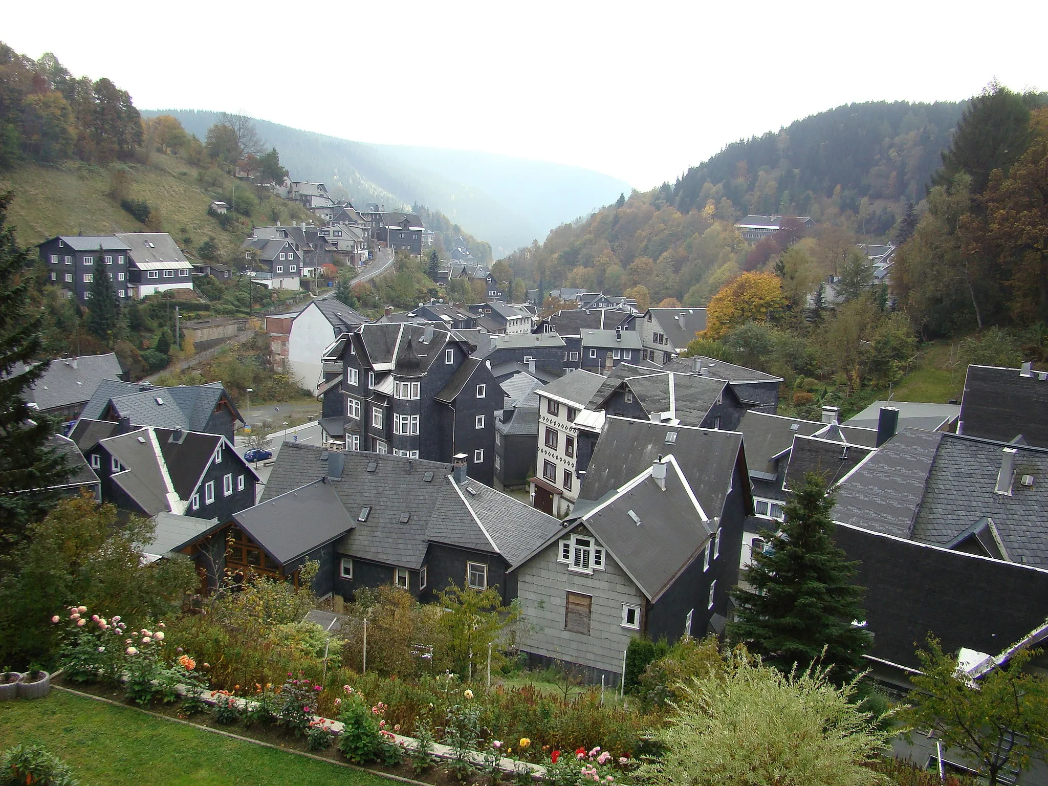
Start: Oelze Village centerKatzhütte: Idyllic German town ideal for exploring the Rennsteig trail on two wheels.
Katzhütte is a locality situated in Thüringen, Germany. As a cyclist, you'll enjoy the scenic roads and picturesque landscapes that surround Katzhütte. The region offers a mix of challenging climbs and tranquil countryside rides. One famous cycling spot nearby is the Rennsteig, a historic hiking trail that can also be tackled on a bicycle. Overall, Katzhütte is a great destination for road and gravel cycling, with various routes available for all skill levels.2 km
2 km
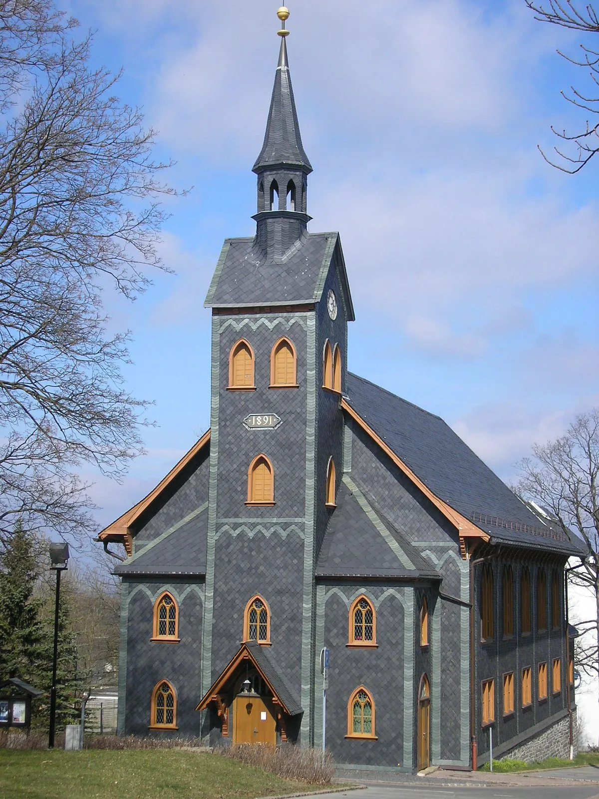
KatzhütteVillageKatzhütte, the starting point of this gravel route, is famous for its traditional ceramic craftsmanship and unique cultural heritage.
14 km
14 km
Sandberg834 mShelterSandberg offers a thrilling downhill section with challenging terrain and rocky slopes, perfect for adrenaline-seekers.
21 km
21 km
Fellberg842 mPeakFellberg is a hidden gem, providing panoramic views of the Thuringian Forest and a peaceful escape into nature.
27 km
27 km
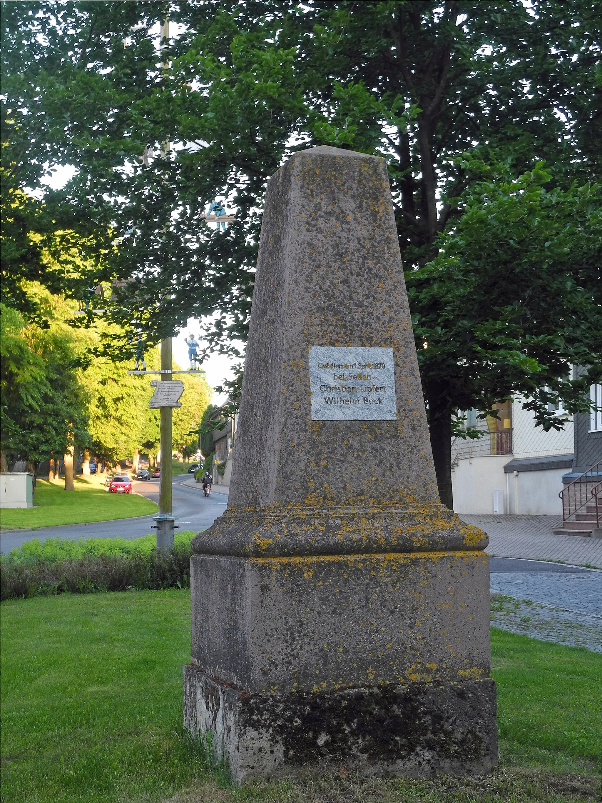
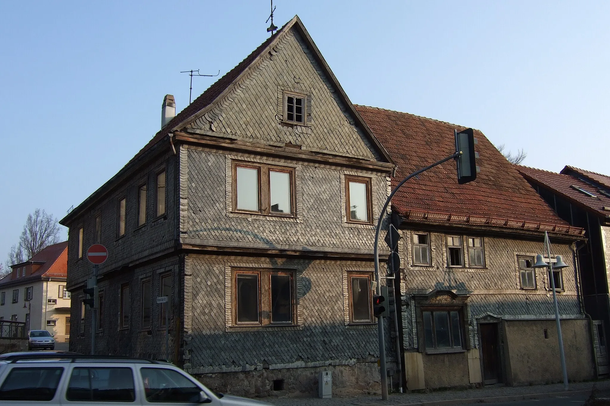
Mengersgereuth-HämmernVillageMengersgereuth-Hämmern is a picturesque village surrounded by dense forests and is known for its traditional crafts, such as wooden toy manufacturing.
33 km
33 km
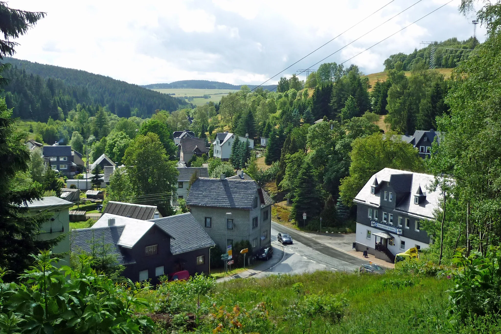
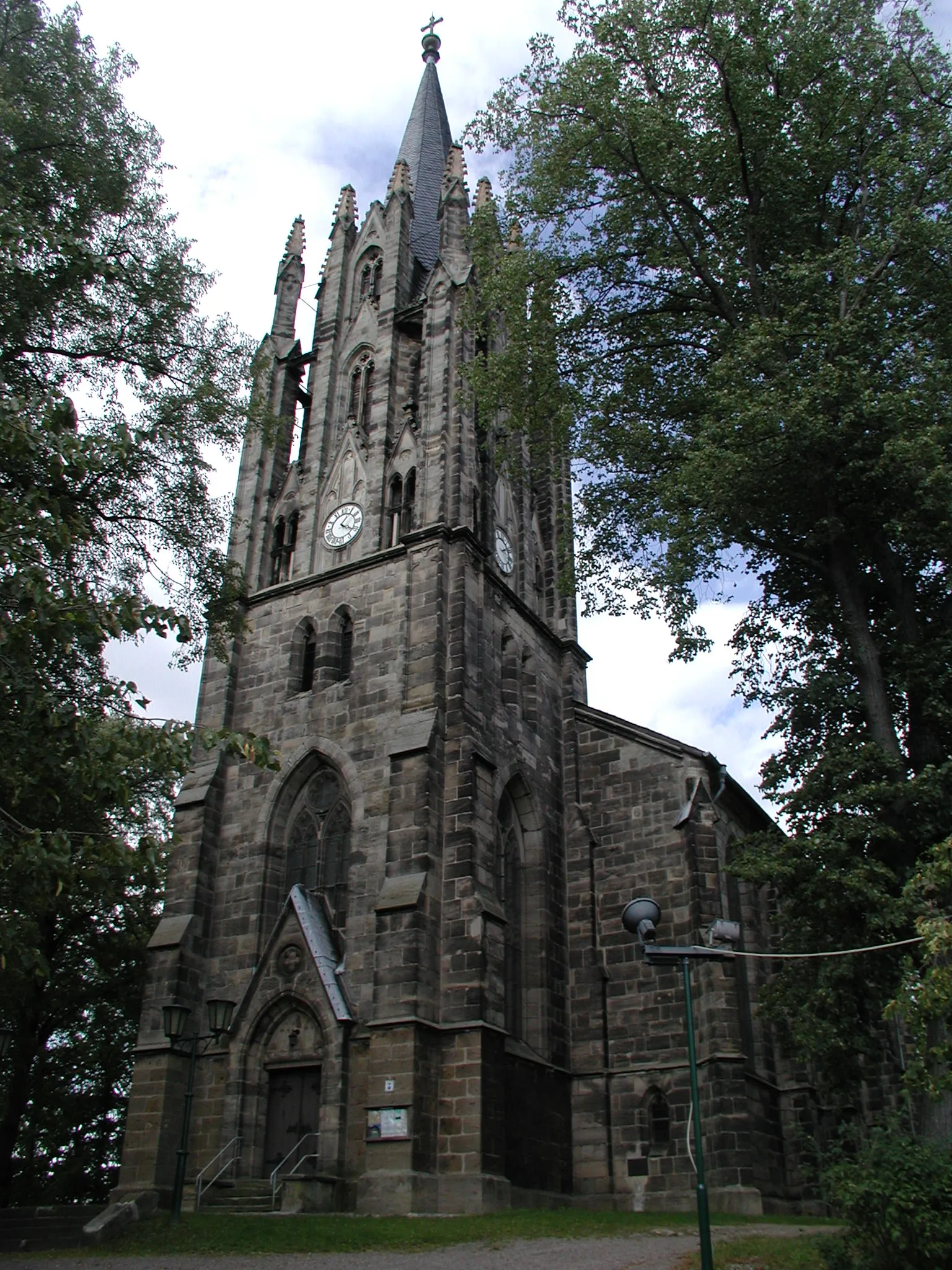
MeschenbachVillageMeschenbach is a tranquil valley with breathtaking landscapes and a charming creek, offering a place for peaceful contemplation.
47 km
47 km
Steinberg755 mPeakSteinberg invites you to explore its beautiful trail network, passing through dense forests and glacial rock formations.
52 km
52 km
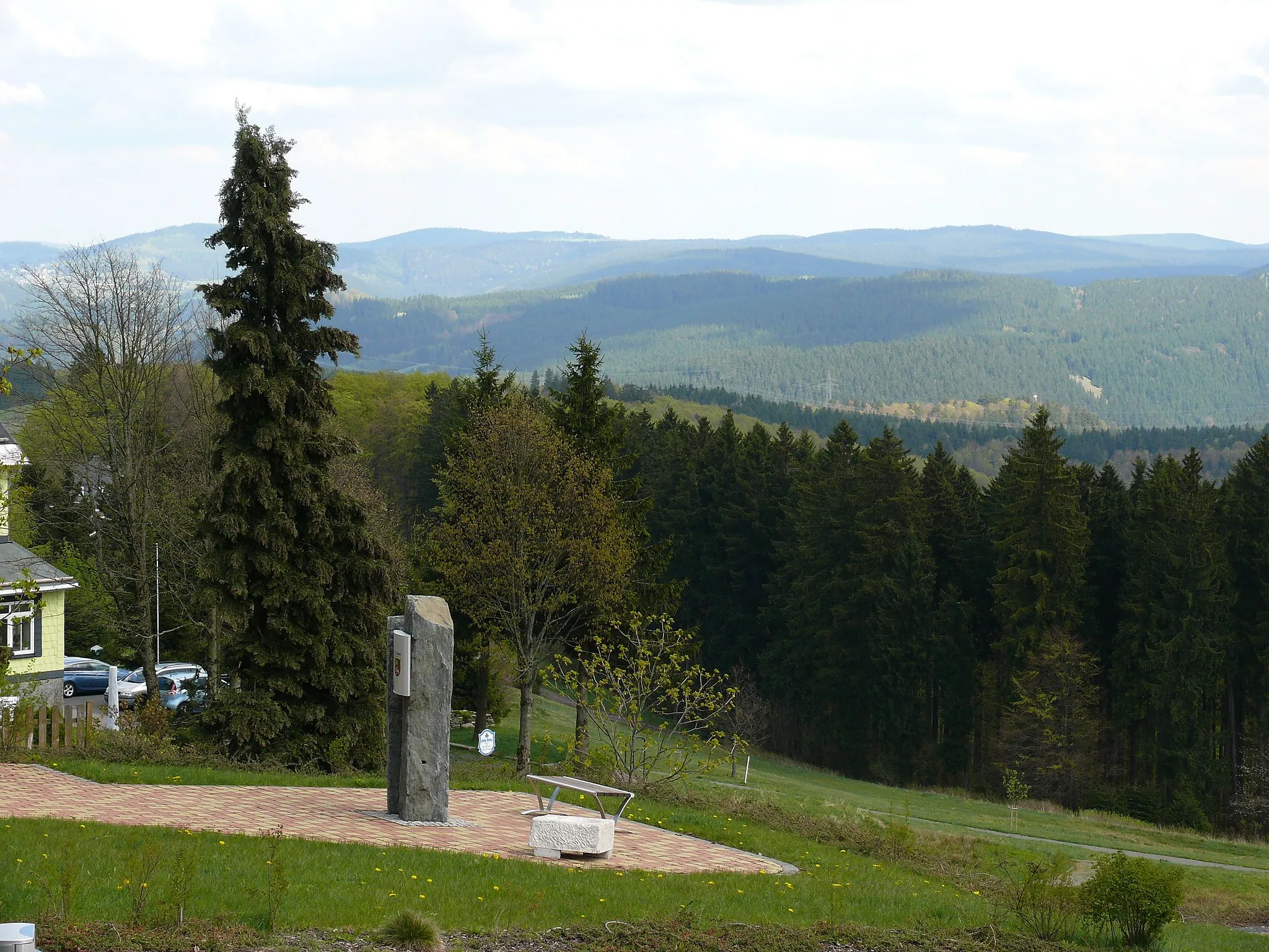
Goldberg736 mPeakGoldberg, located in the heart of Thuringian Forest, presents an enchanting vista with rolling hills covered in lush greenery.
56 km
56 km
GoldisthalVillageGoldisthal is home to an impressive pumped-storage power plant, providing an interesting insight into renewable energy technology.
60 km
60 km
Finish: Oelze Village centerKatzhütte: Idyllic German town ideal for exploring the Rennsteig trail on two wheels.
Cycling routes from Katzhuette:
Scenic Thuringian Road Loop Thüringer Wald Loop Rennsteig Adventure: Off the Beaten Path Rennsteig Gravel Challenge Thuringian Countryside Loop Gravel Adventure: Thuringian Forest Ride Historical Road Ride: Exploring Thuringia's Past Gravel Adventure in Thüringen Thuringian Hill Loop Grendel Forest Gravel Escape Gravel Circuit with Cultural Highlights Milchberg Scenic Road Cycling Route Offroad Adventure to Goldisthal Meuselbacher Kuppe Road Cycling Route Scenic Tour to Pumpspeicherwerk Goldisthal Harz and Thuringian Forest Adventure
Cycling routes nearby: