Exploring Aschach and Hammelburg
A gravel cycling route starting from Bad Bocklet
Discover hidden gems on this gravel cycling route
Map
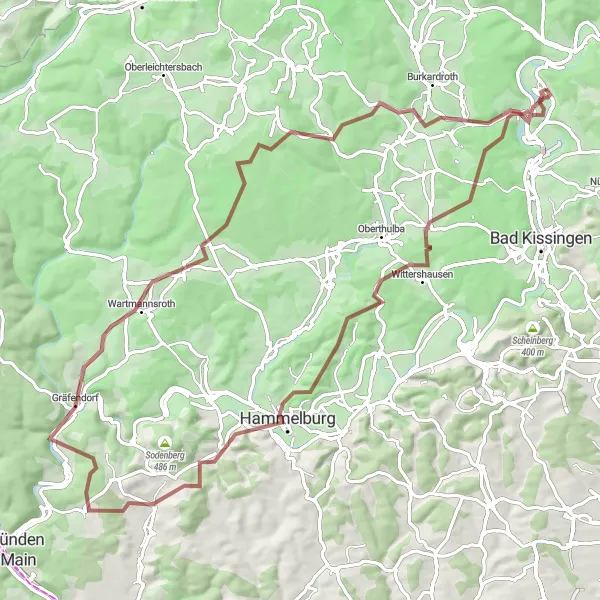
Embark on a gravel cycling adventure near Bad Bocklet and explore the hidden gems of Aschach and Hammelburg. Covering a distance of 88 km and with a total ascent of 1584 meters, this route offers a challenging yet rewarding experience. Aschach is a small town with a rich history, featuring beautiful architecture and scenic views. Hammelburg is known for its historic sites, including a medieval fortress and picturesque alleys. Along the way, you'll also pass through Wiedenberg, Gumenberg, Gräfendorf, Schwärzelbach, and Schloss Aschach, each offering its own unique charm and attractions.
gravel
88 km
1584 m
Tough
Route profile
Highlights on the route
0 km
0 km
Start: Bad Bocklet Village centerBad Bocklet: Idyllic Cycling Retreat in Unterfranken
Bad Bocklet is a charming locality nestled in Unterfranken, Germany. From a cyclist's perspective, Bad Bocklet offers a peaceful and idyllic cycling experience. The locality is surrounded by beautiful countryside, rolling hills, and scenic routes, making it a great destination for road cycling enthusiasts. Additionally, there are several well-known climbs nearby, such as the Rhön Mountains, which offer challenging ascent routes and rewarding views at the top. Bad Bocklet also has a strong cycling community, with regular cycling events and organized group rides that cater to cyclists of all levels. Overall, Bad Bocklet is a cyclist's paradise with its tranquil environment and access to famous cycling climbs.2 km
2 km
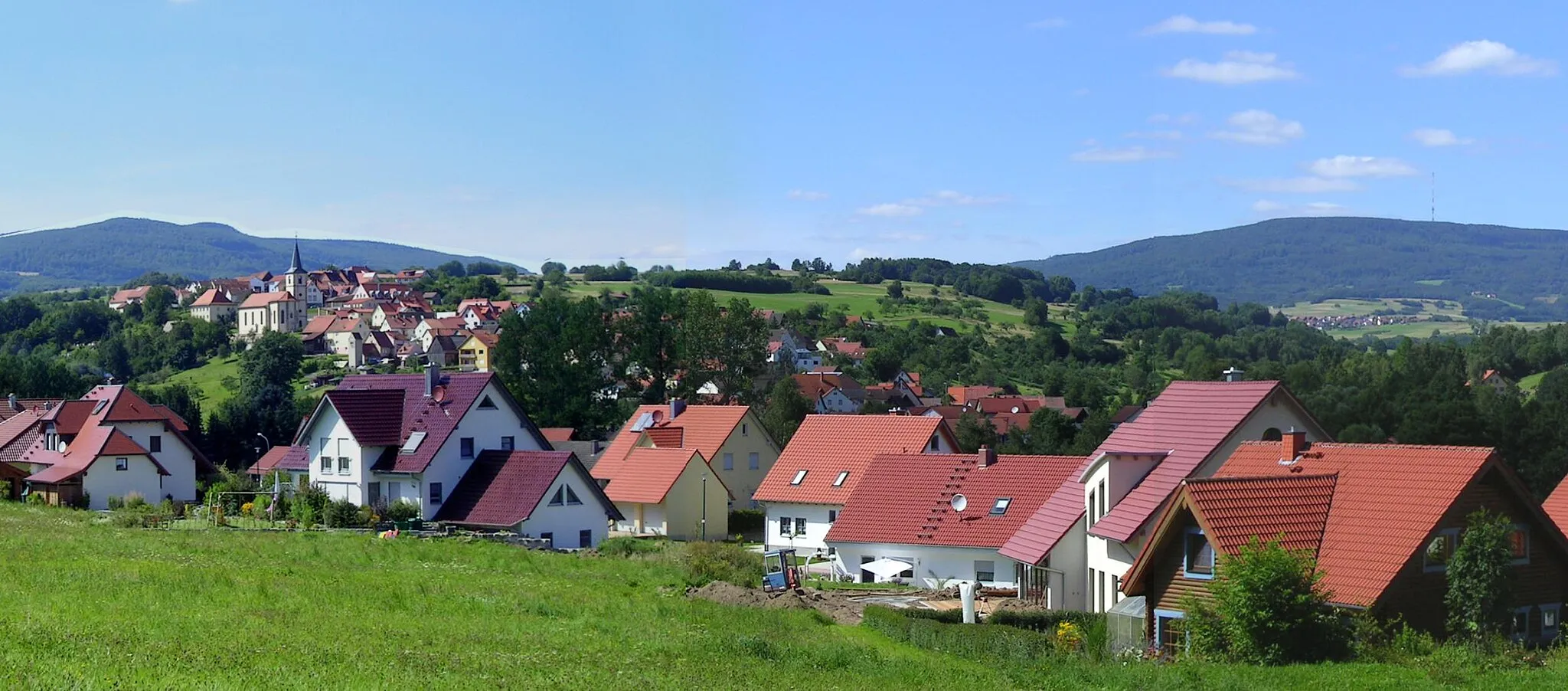
AschachVillage5 km
5 km
Klaushöhe410 mPeakKlaushöhe offers stunning views of the surrounding landscapes.
23 km
23 km
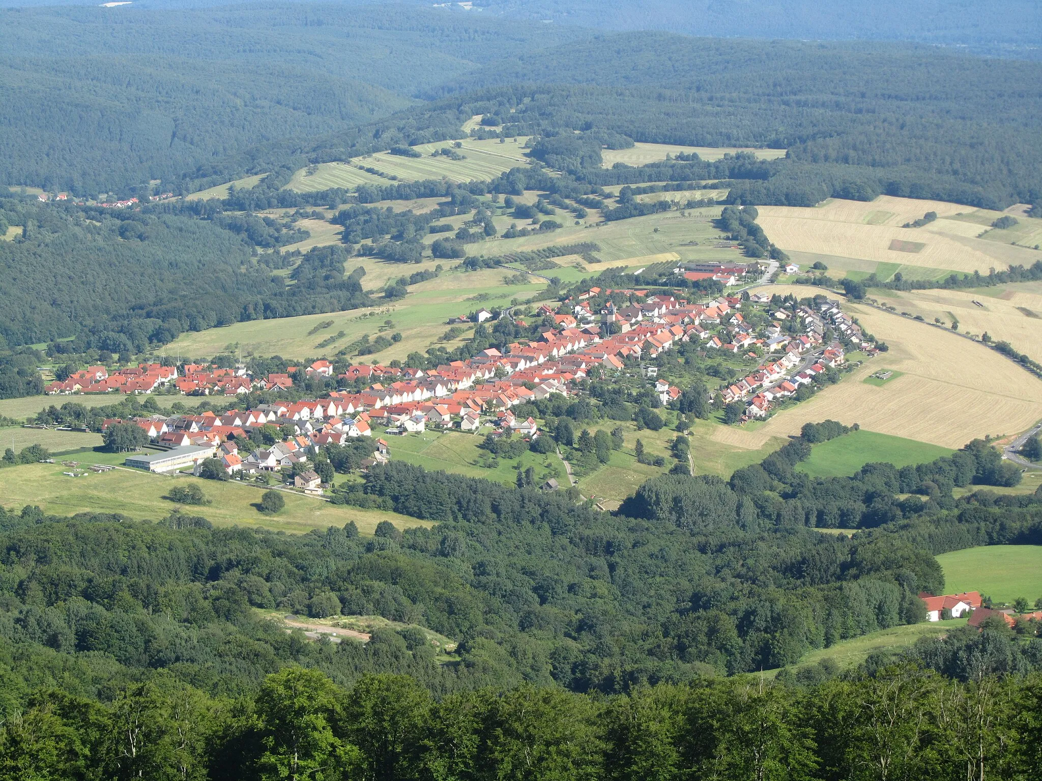
Wiedenberg341 mPeakWiedenberg is a peaceful village surrounded by lush greenery.
27 km
27 km
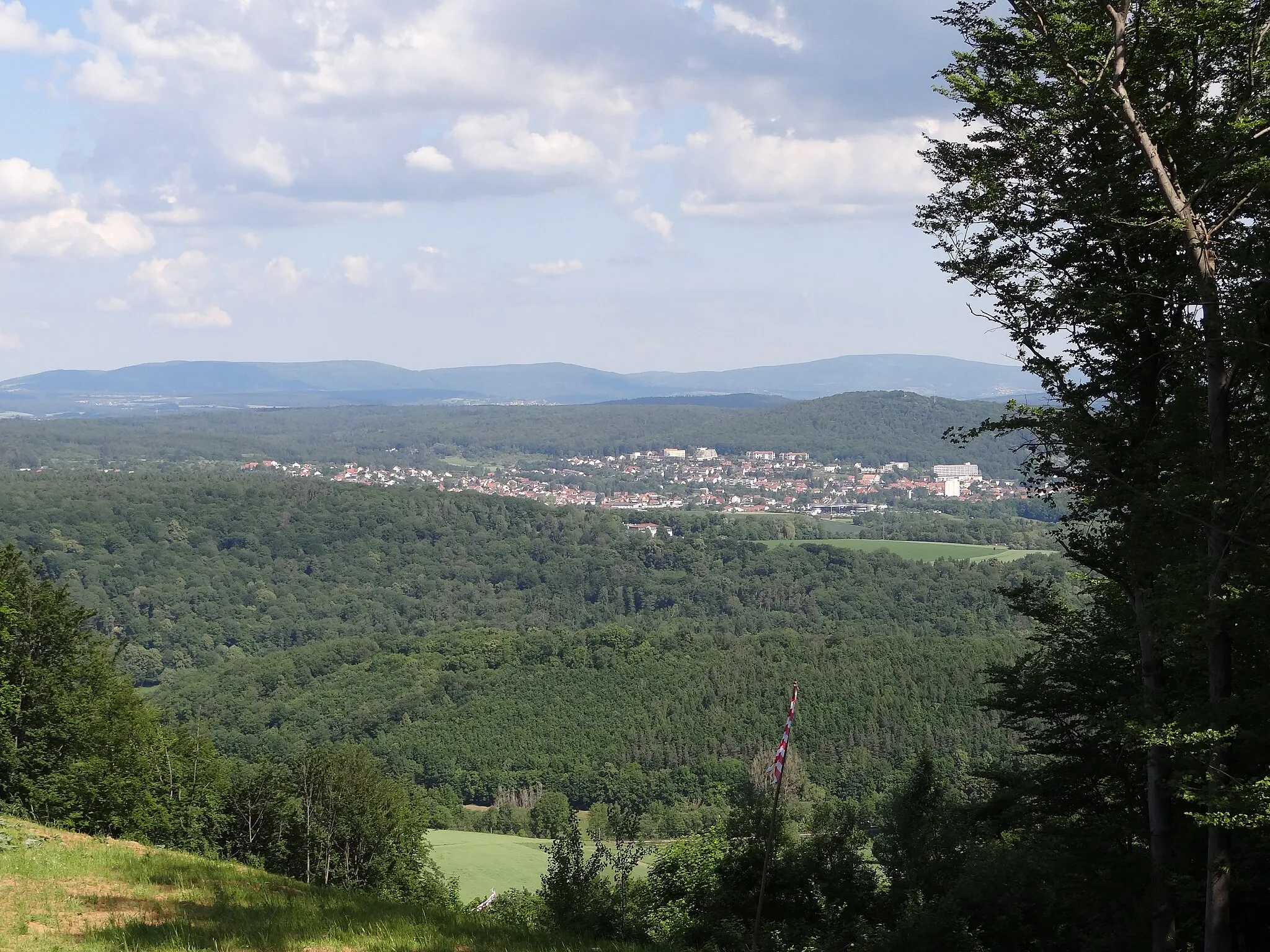
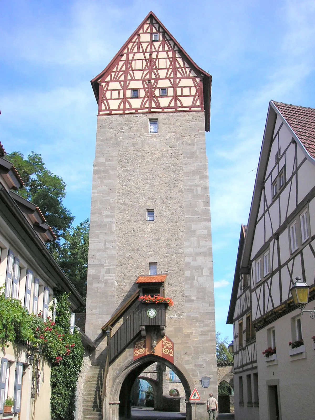
HammelburgTownHammelburg is home to a medieval fortress and charming streets.
44 km
44 km
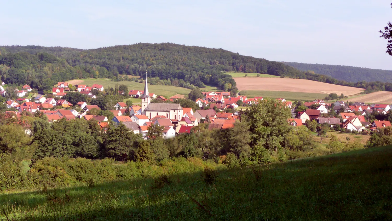
Gumenberg365 mPeakGumenberg features historic buildings and tranquil ambiance.
49 km
49 km
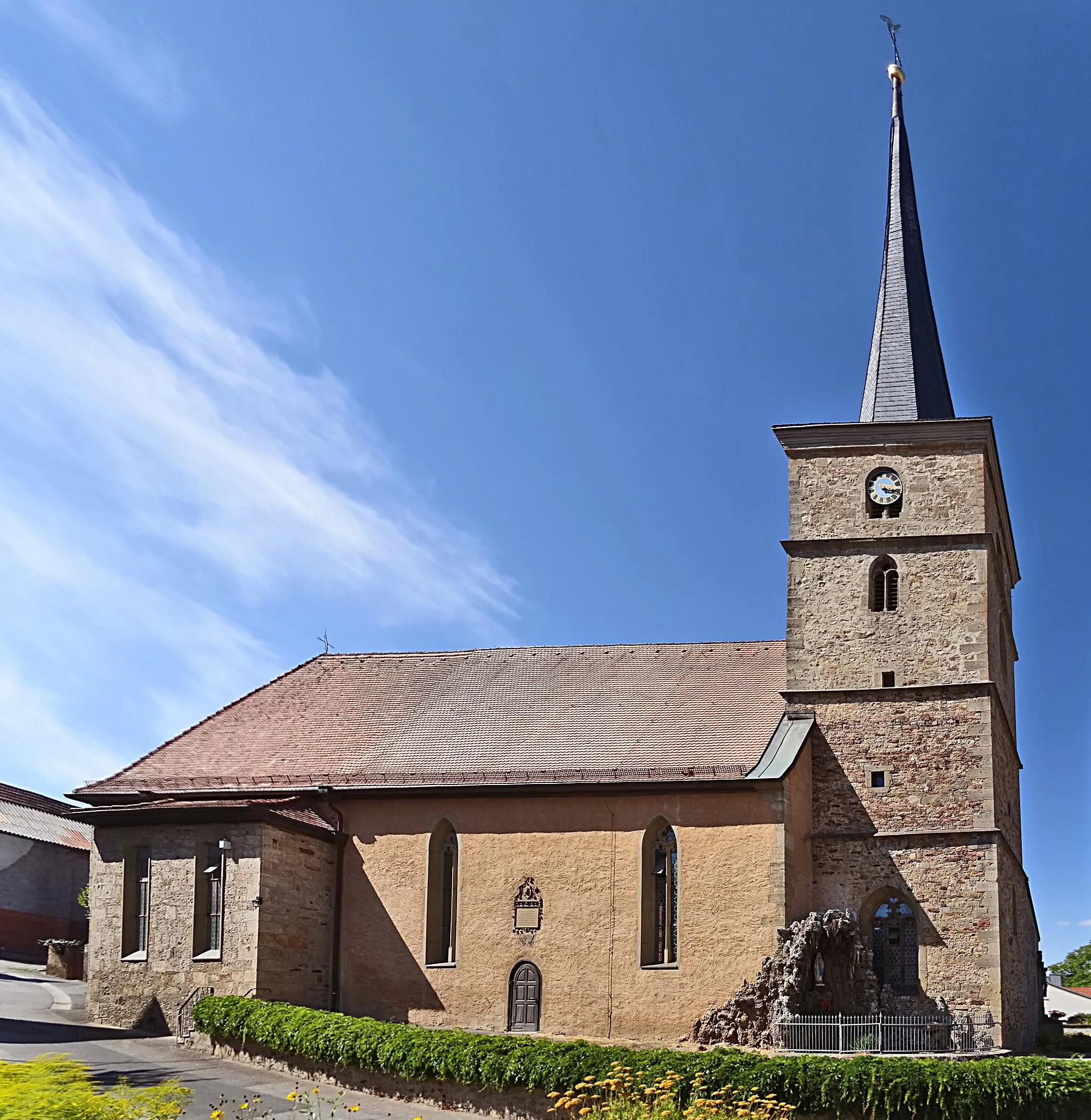
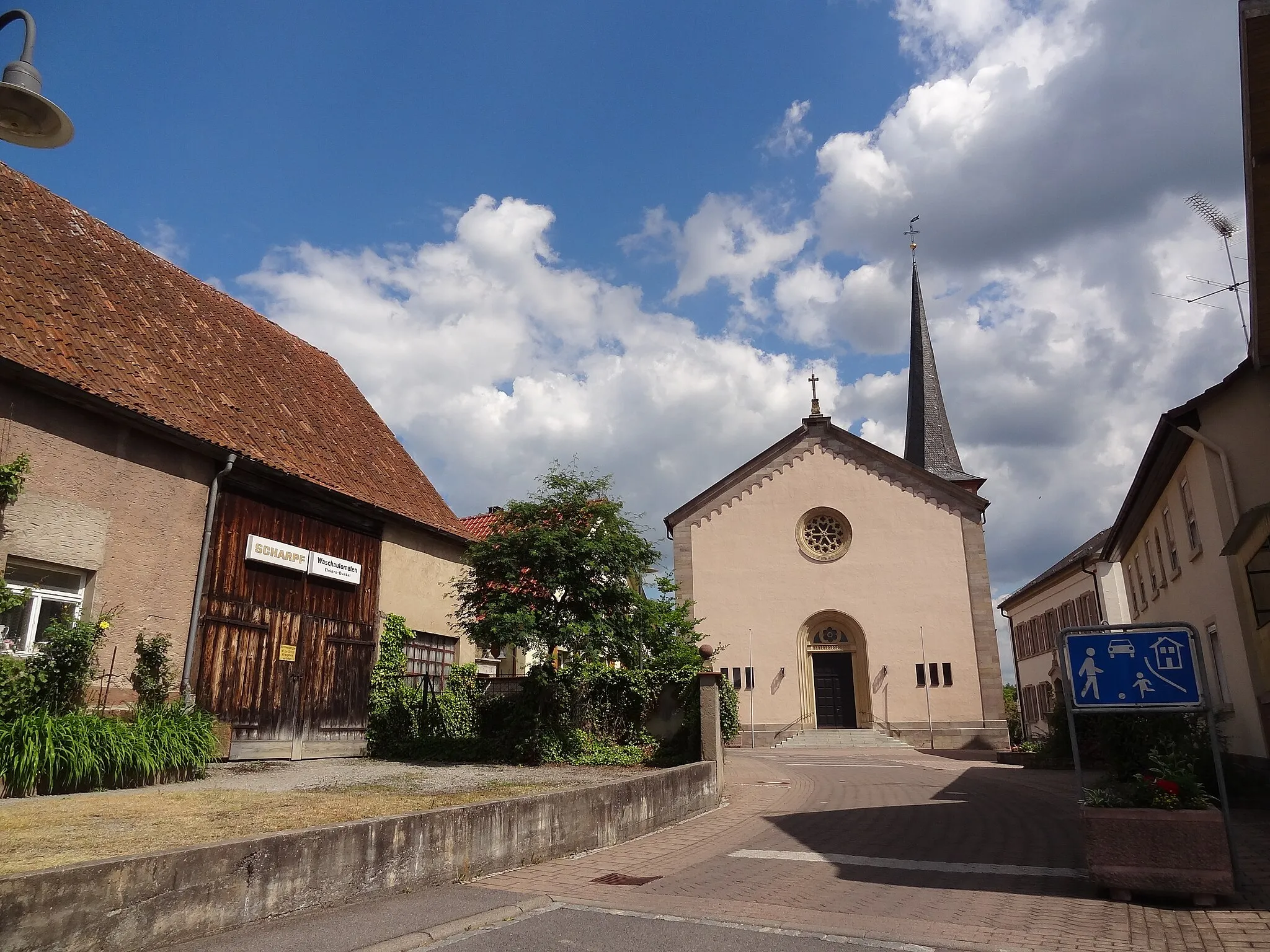
GräfendorfVillageGräfendorf is a picturesque village with a distinctive charm.
59 km
59 km
SchwärzelbachVillageSchwärzelbach offers beautiful hiking trails and scenic views.
85 km
85 km
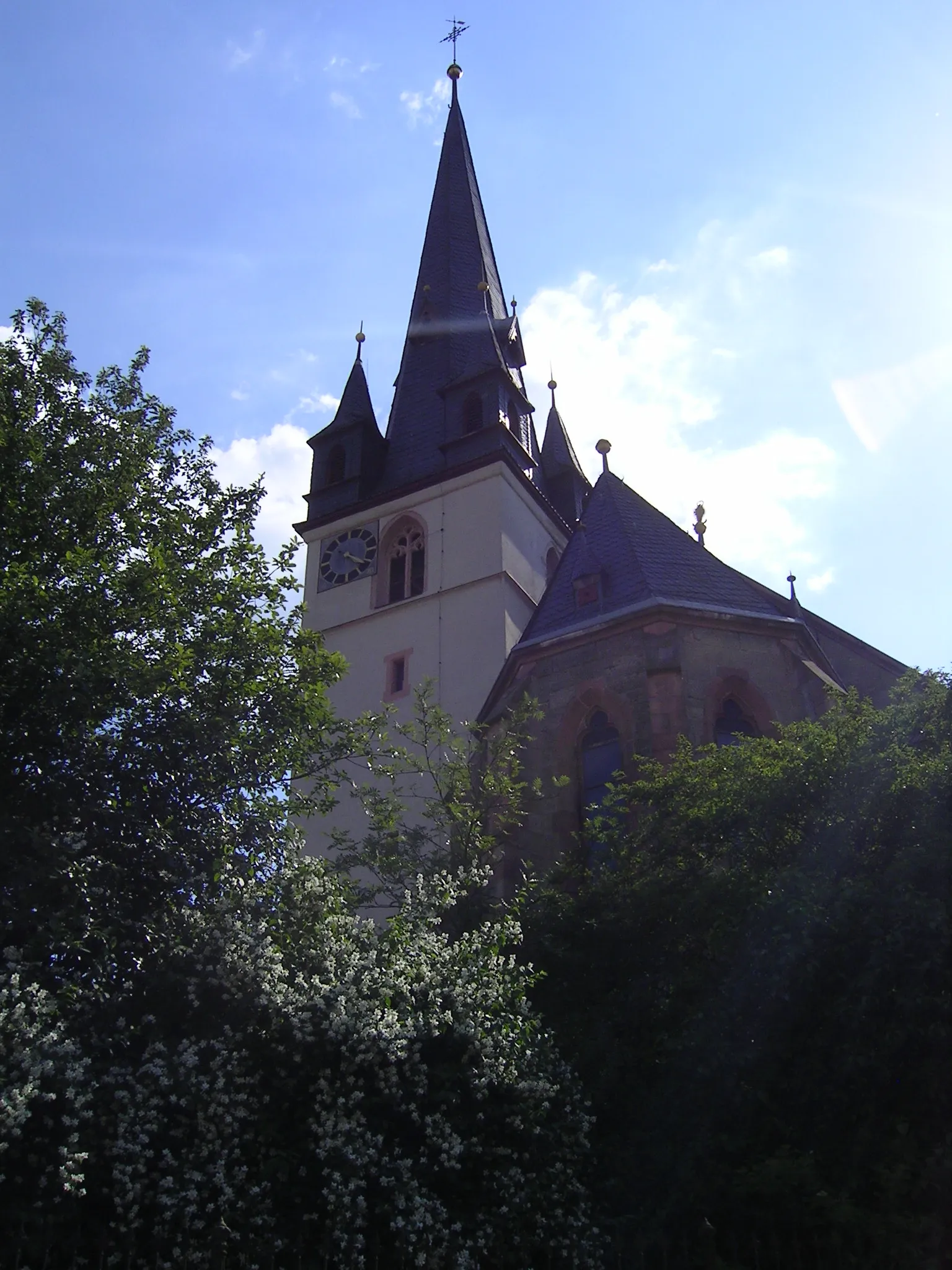
Schloss AschachCastleSchloss Aschach is a medieval castle with captivating architecture.
88 km
88 km
Finish: Bad Bocklet Village centerBad Bocklet: Idyllic Cycling Retreat in Unterfranken
Cycling routes from Bad Bocklet:
Bad Kissingen and Beyond Exploring Aschach and Hammelburg Feuerthal and Waldfenster Exploration The Rhön Gravel Adventure Oberthulba and Aura in Sinngrund Circuit Cycling through Wildflecken and Hohe Hölle The Rhön Hinterland Gravel Ride The Hohn Circuit Bike Tour to Bad Bocklet Gravel Adventure in Lower Franconia The Rolling Hills Gravel Ride Aschach Gravel Adventure The Main River Loop
Cycling routes nearby: