The Rhön Challenge
A gravel cycling route starting from Bad Konigshofen im Grabfeld
Take on the challenge of the Rhön region with this thrilling gravel ride
Map
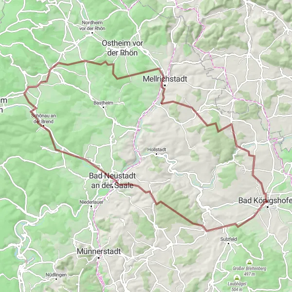
Embark on an epic cycling adventure through the diverse landscapes of the Rhön region with the Rhön Challenge gravel route. Covering a distance of 89 km and boasting an elevation gain of 1026 meters, this route is designed for experienced gravel riders seeking a challenge. Pedal along rolling hills, through charming villages, and explore the natural beauty of the Rhön Biosphere Reserve. Highlights along the route include the Judenhügel, Großbardorf, Luitpold Höhe, and Bad Neustadt an der Saale. With its breathtaking vistas and diverse terrain, the Rhön Challenge is a true test of endurance and skill.
gravel
89 km
1026 m
Tough
Route profile
Highlights on the route
0 km
0 km
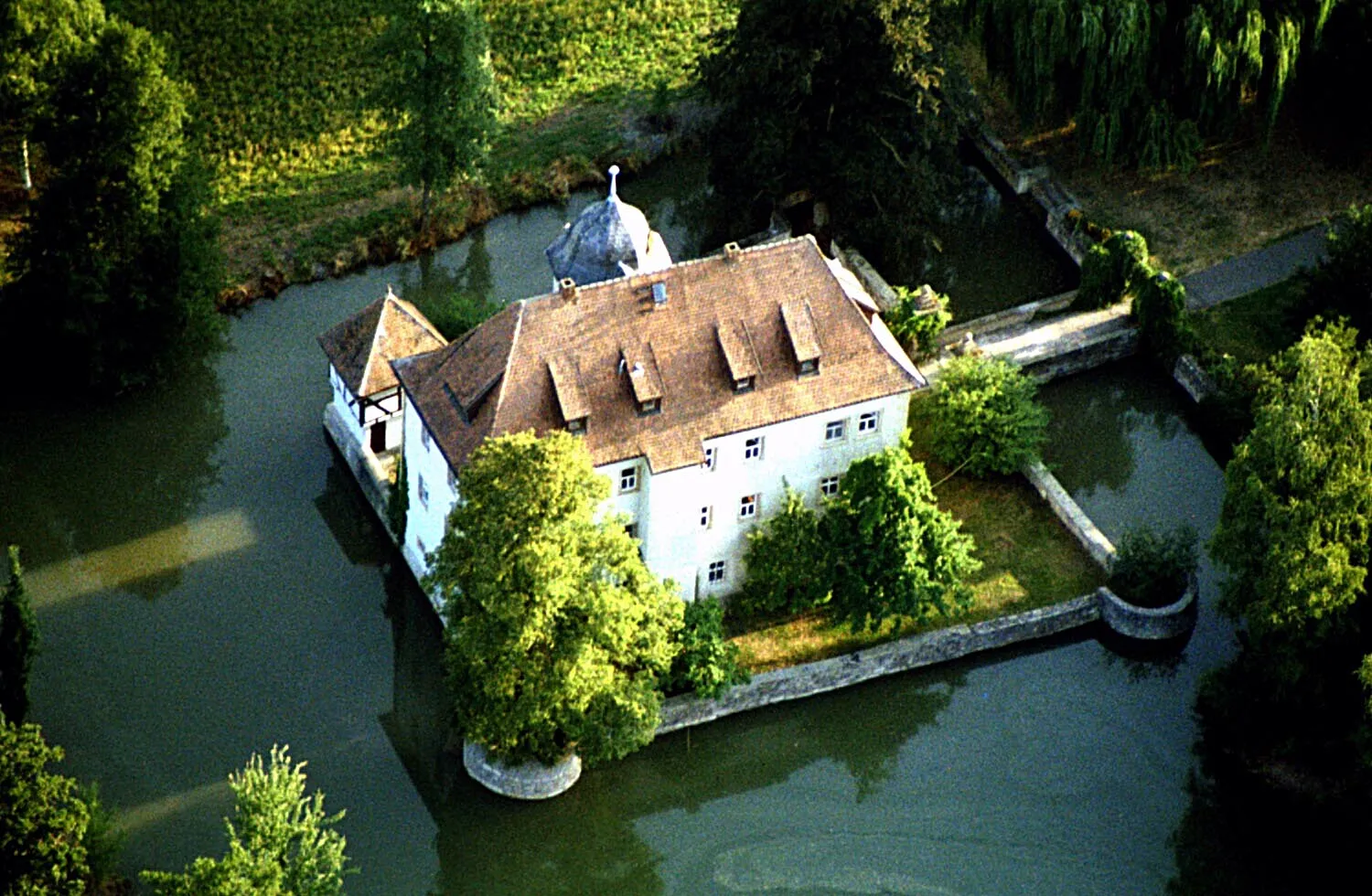
Start: Bad Königshofen City centerBad Königshofen im Grabfeld: Cycling haven in Unterfranken, Germany.
Bad Königshofen im Grabfeld, located in Unterfranken, Germany, is a cyclist-friendly locality. The area offers a mix of scenic and challenging cycling routes, suitable for road and gravel cyclists. Bad Königshofen im Grabfeld is also known for its well-known climbs and famous cycling-related spots nearby, attracting cyclists from all around the region. With its cycling-friendly atmosphere and beautiful landscapes, Bad Königshofen im Grabfeld is a great destination for cyclists of all levels.6 km
6 km
Judenhügel418 mPeakJudenhügel offers panoramic vistas of the Rhön region, where you can see the rolling hills stretching out before you.
9 km
9 km
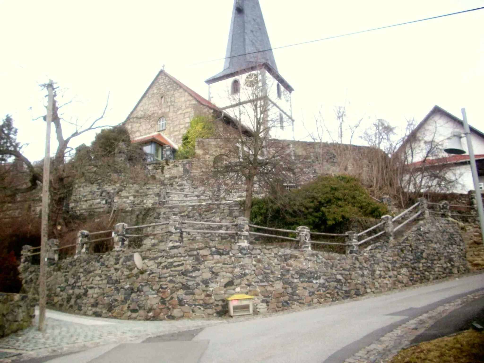
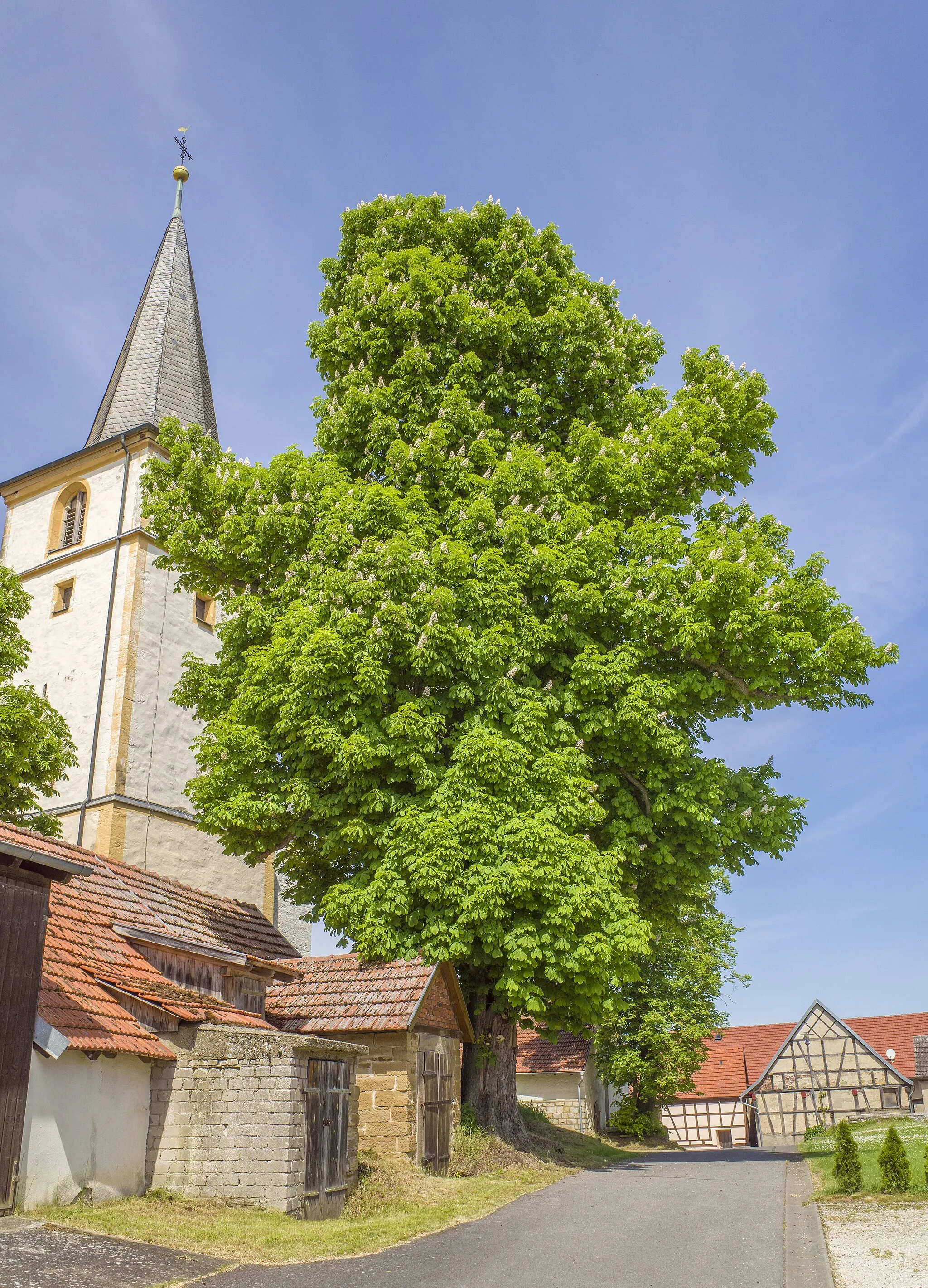
GroßbardorfVillageGroßbardorf is a charming village with traditional half-timbered houses, perfect for a quick rest and some photos.
21 km
21 km
Luitpold HöheViewpointLuitpold Höhe is known for its stunning views of the surrounding countryside. Marvel at the beauty of the landscape from this elevated point.
23 km
23 km
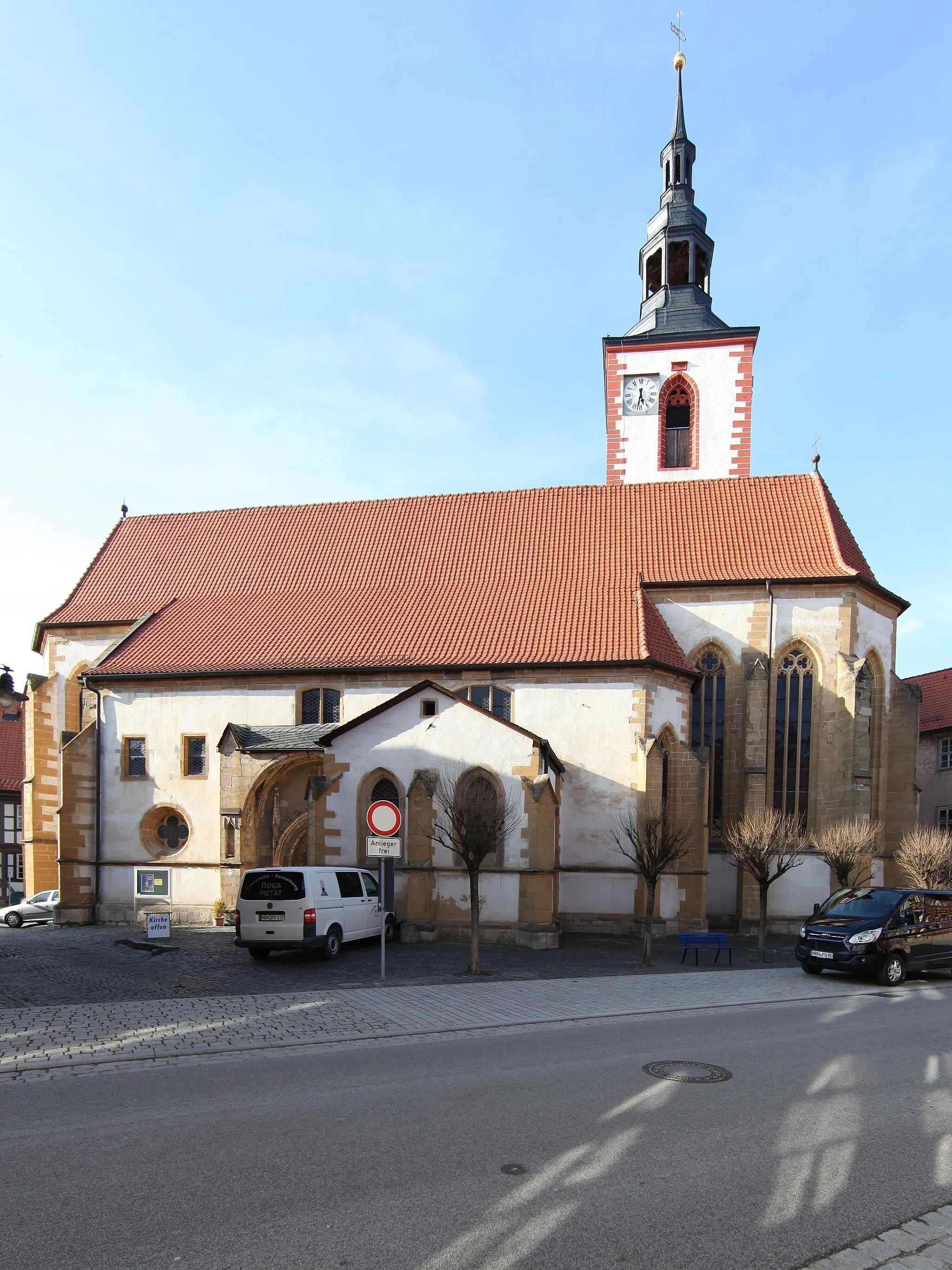
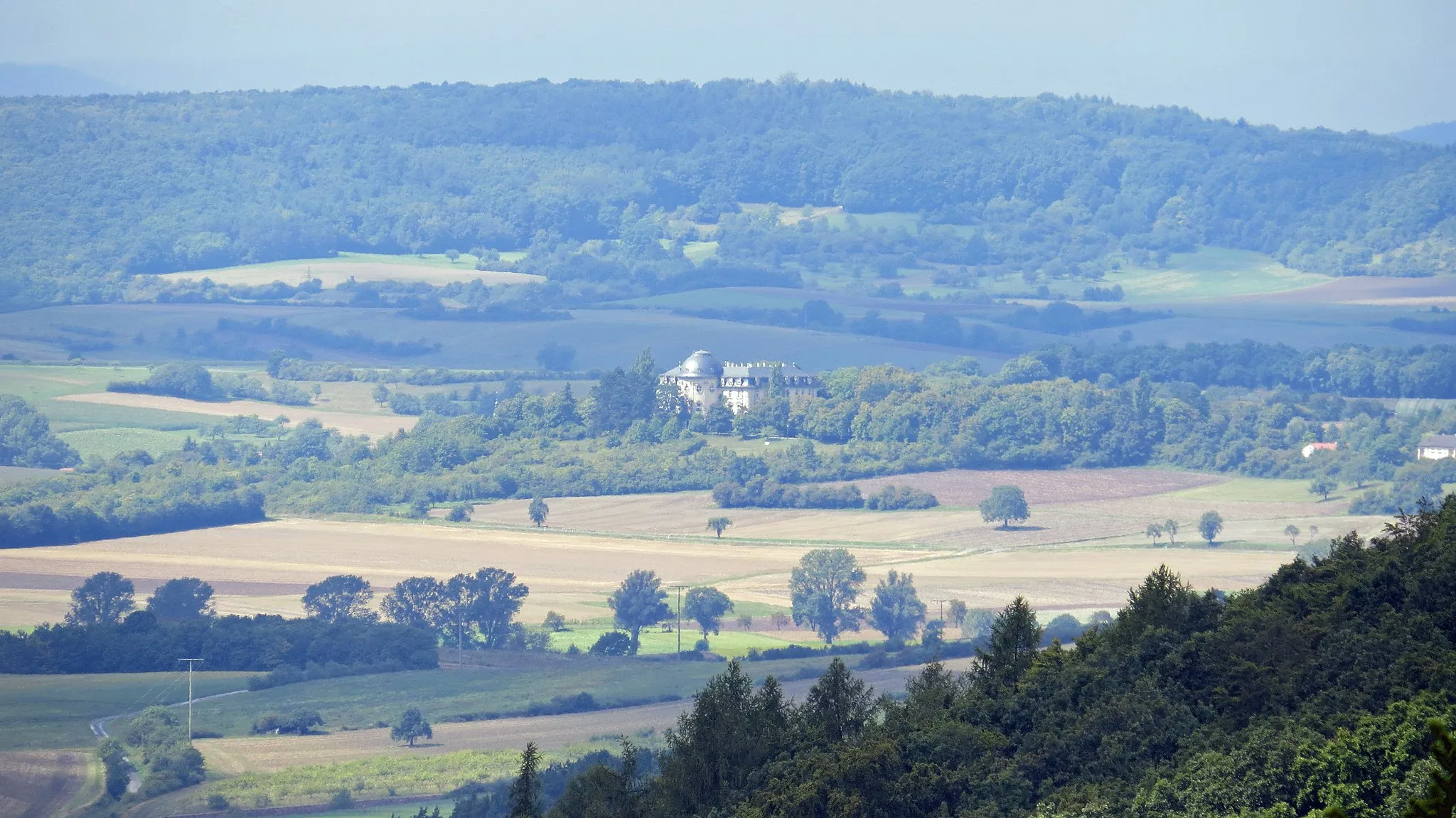
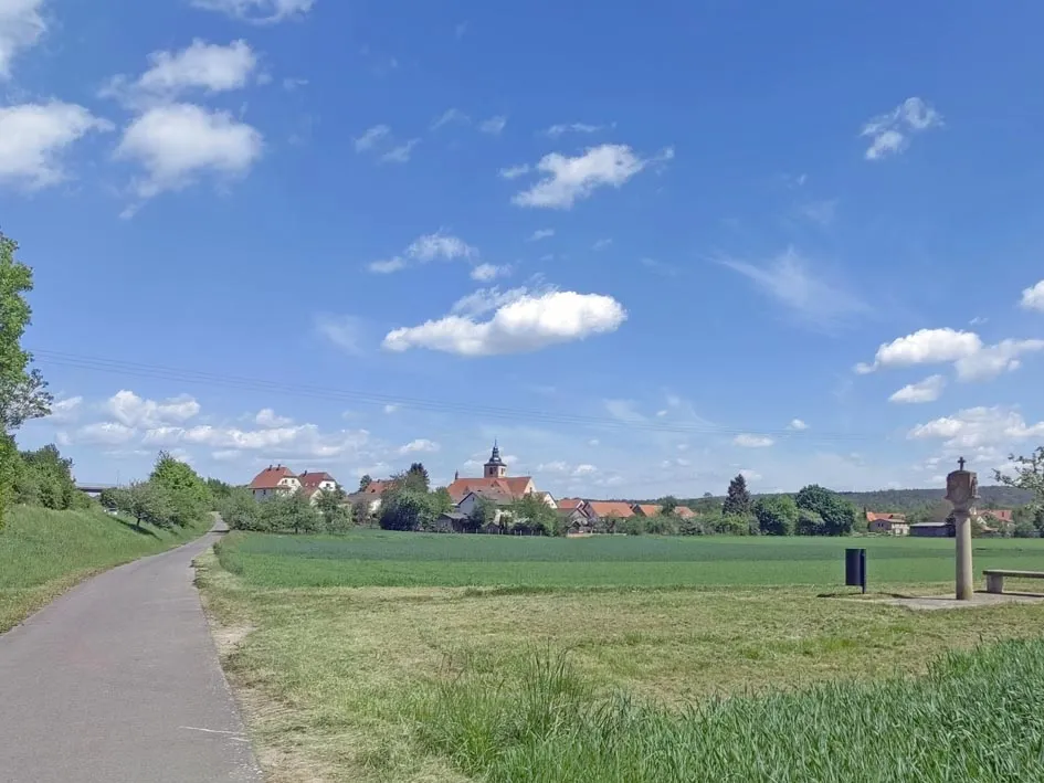
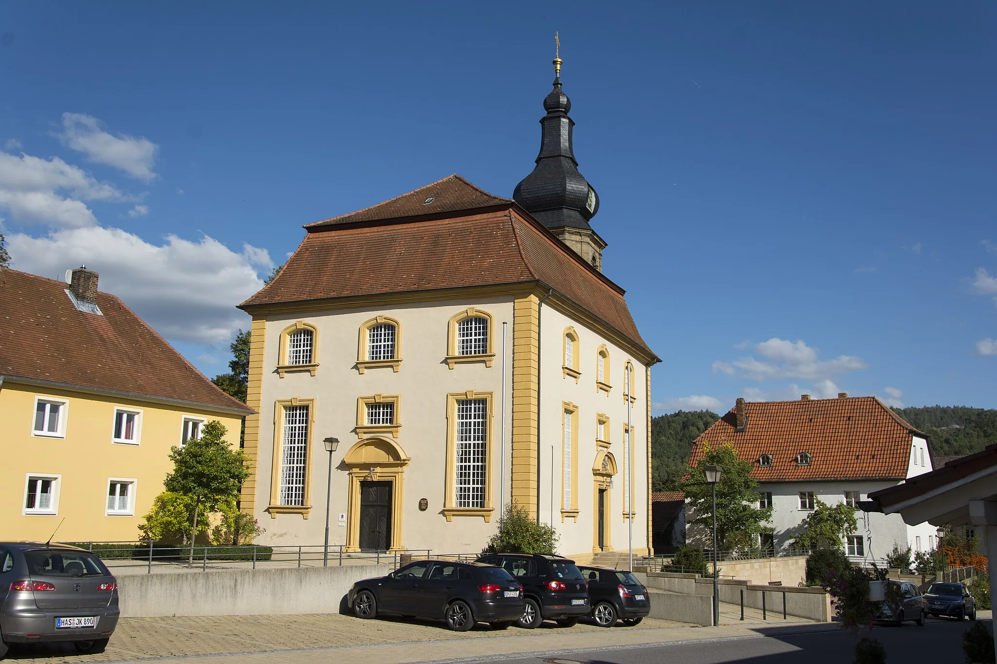
Bad Neustadt an der SaaleTownBad Neustadt an der Saale is a vibrant town with a rich history and charming architecture. Take a break and explore the historic city center.
45 km
45 km
Dünsberg503 mPeakDünsberg is a popular destination for hikers and outdoor enthusiasts. Climb to the Dünsberg summit for breathtaking views of the Rhön region.
45 km
45 km
OberelsbachVillageOberelsbach is surrounded by beautiful nature and offers numerous hiking trails. Discover the tranquility of the Rhön Biosphere Reserve.
55 km
55 km
Großer Lindenberg411 mPeakGroßer Lindenberg is the third highest peak in the Rhön region, offering stunning views of the surrounding landscape. A true highlight for nature lovers and outdoor enthusiasts.
66 km
66 km
OberstreuVillageOberstreu is a picturesque village with traditional Franconian architecture. Wander through the winding streets and learn about the local culture.
81 km
81 km
Hundsfelder Berg358 mPeakHundsfelder Berg is a challenging climb that rewards you with panoramic views at the top. Test your climbing skills and soak in the stunning landscapes.
89 km
89 km
Bad KönigshofenTownBad Königshofen itself offers plenty of attractions, including the beautiful Kurpark and the fascinating Heimatmuseum. Immerse yourself in the local culture and history.
89 km
89 km
Finish: Bad Königshofen City centerBad Königshofen im Grabfeld: Cycling haven in Unterfranken, Germany.
Cycling routes from Bad Konigshofen im Grabfeld:
Cycling routes nearby: