Scenic Road Ride
A road cycling route starting from Bad Konigshofen im Grabfeld
Experience the scenic beauty of the region on this road cycling route
Map
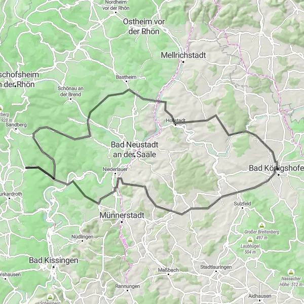
Take on the challenge of this road cycling route that covers a distance of 96km and features an ascent of 1205m. Starting from Bad Königshofen, this route passes through stunning landscapes and interesting towns. Highlights include the historical site of Judenhügel, the delightful village of Roth an der Saale, and the panoramic views from Schmalwasser. With its rolling hills and picturesque countryside, this route offers a memorable cycling experience for intermediate cyclists.
road
96 km
1205 m
Tough
Route profile
Highlights on the route
0 km
0 km
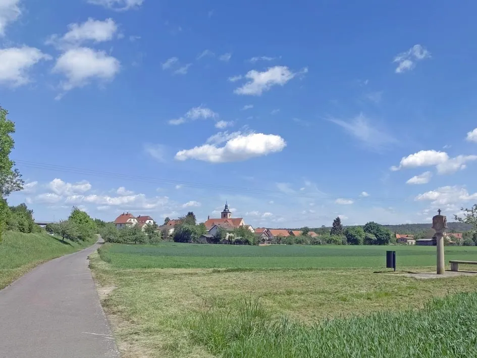
Start: Bad Königshofen City centerBad Königshofen im Grabfeld: Cycling haven in Unterfranken, Germany.
Bad Königshofen im Grabfeld, located in Unterfranken, Germany, is a cyclist-friendly locality. The area offers a mix of scenic and challenging cycling routes, suitable for road and gravel cyclists. Bad Königshofen im Grabfeld is also known for its well-known climbs and famous cycling-related spots nearby, attracting cyclists from all around the region. With its cycling-friendly atmosphere and beautiful landscapes, Bad Königshofen im Grabfeld is a great destination for cyclists of all levels.0 km
0 km
Bad KönigshofenTownBegin your journey in Bad Königshofen, a charming town known for its healing springs and historic architecture.
5 km
5 km
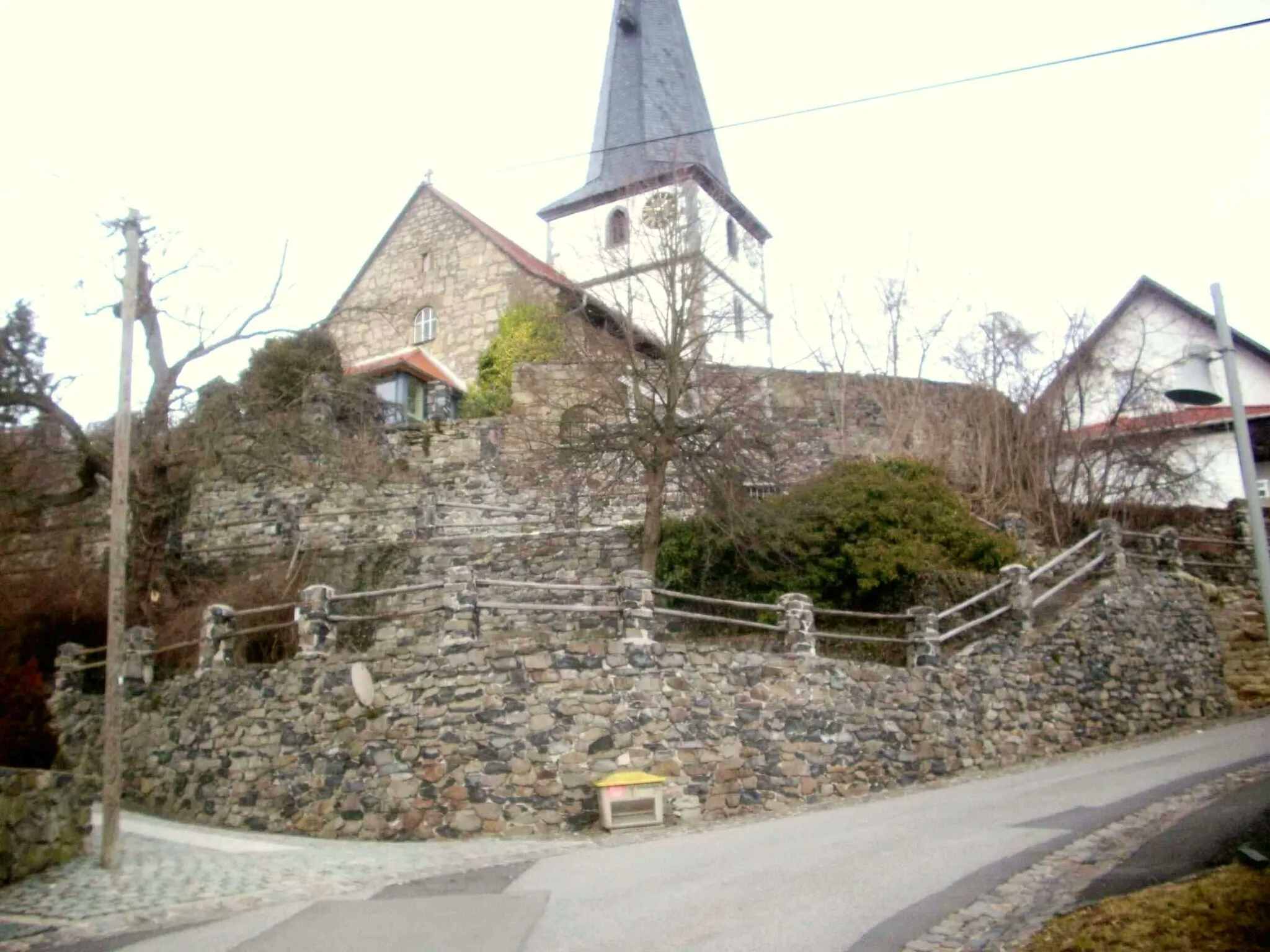
Judenhügel418 mPeakExplore the historical significance of Judenhügel, a hill that offers scenic views and reminders of the town's Jewish heritage.
25 km
25 km
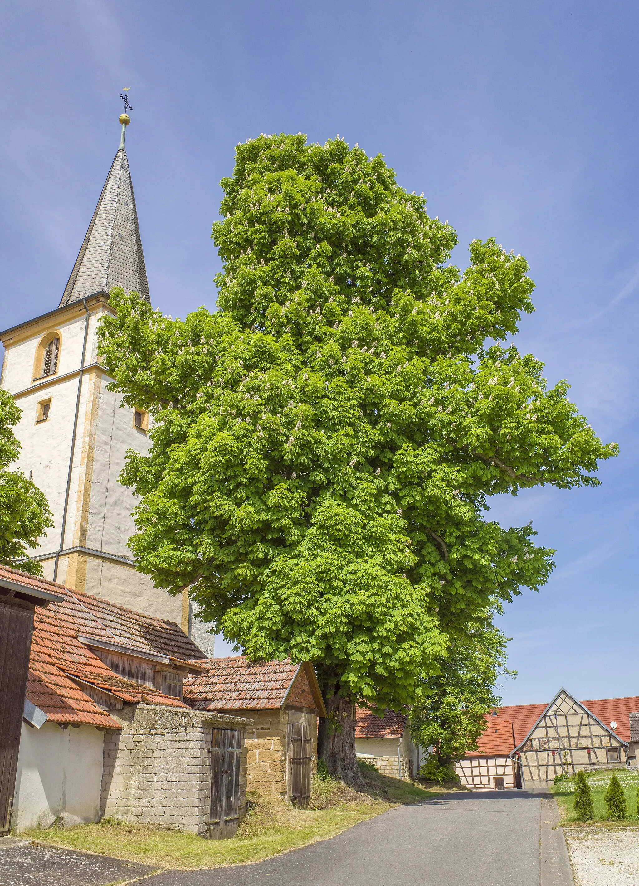
NiederlauerVillagePass through the peaceful village of Niederlauer and admire its charming architecture and tranquil atmosphere.
34 km
34 km
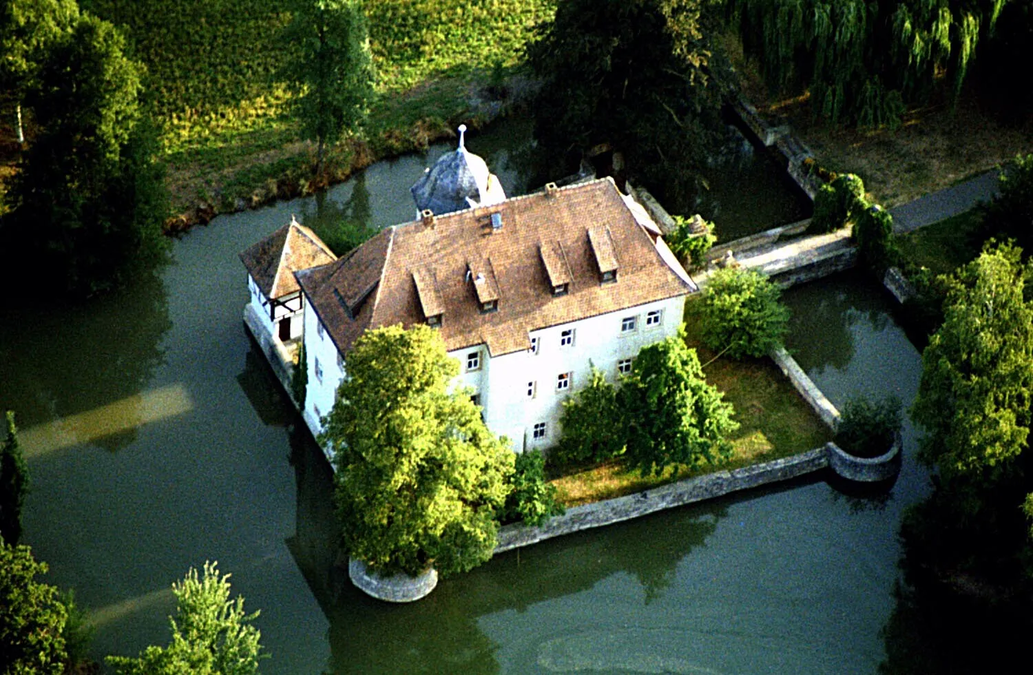
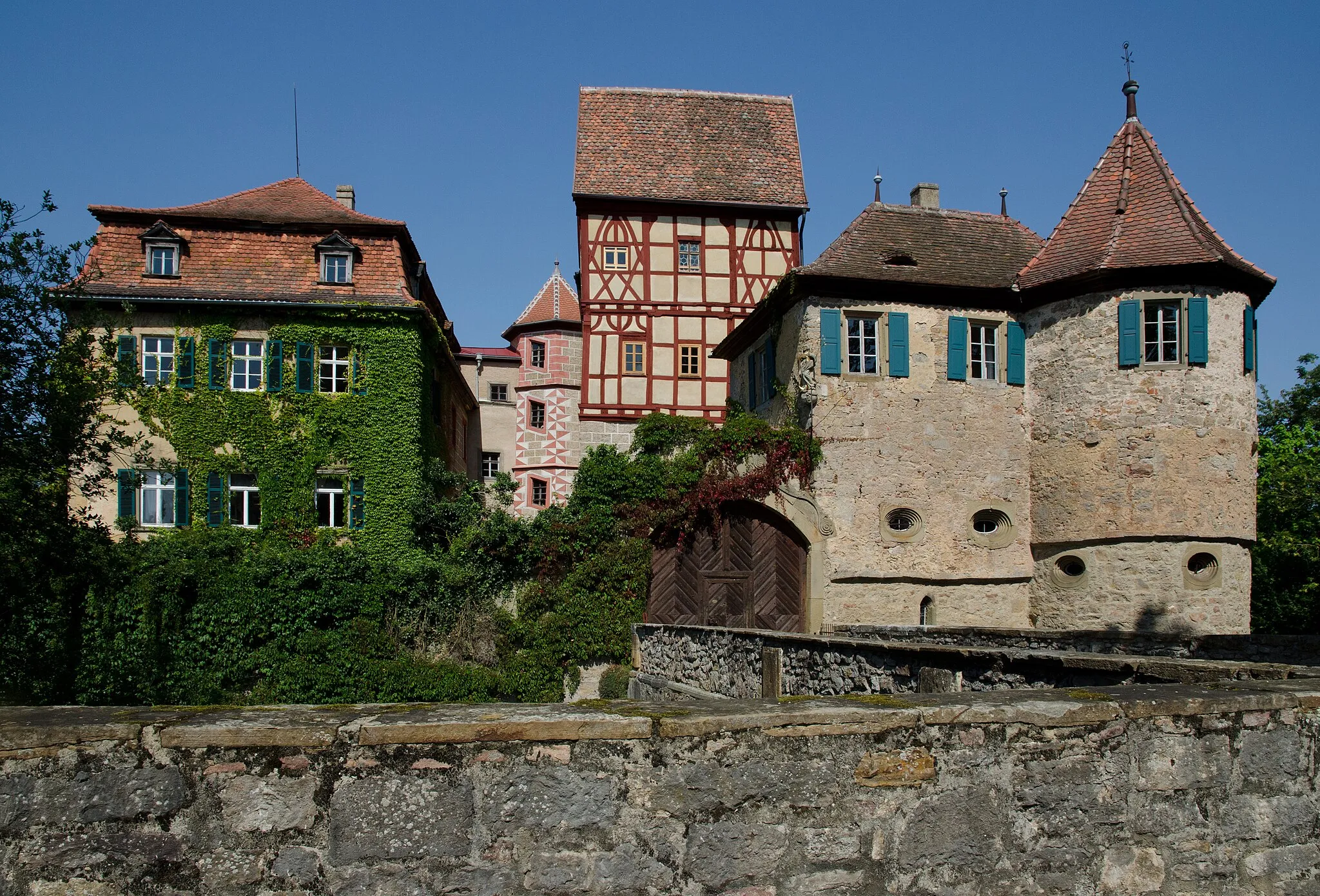
Roth an der SaaleVillageStop by Roth an der Saale, a picturesque town with well-preserved medieval buildings and a charming riverside setting.
52 km
52 km
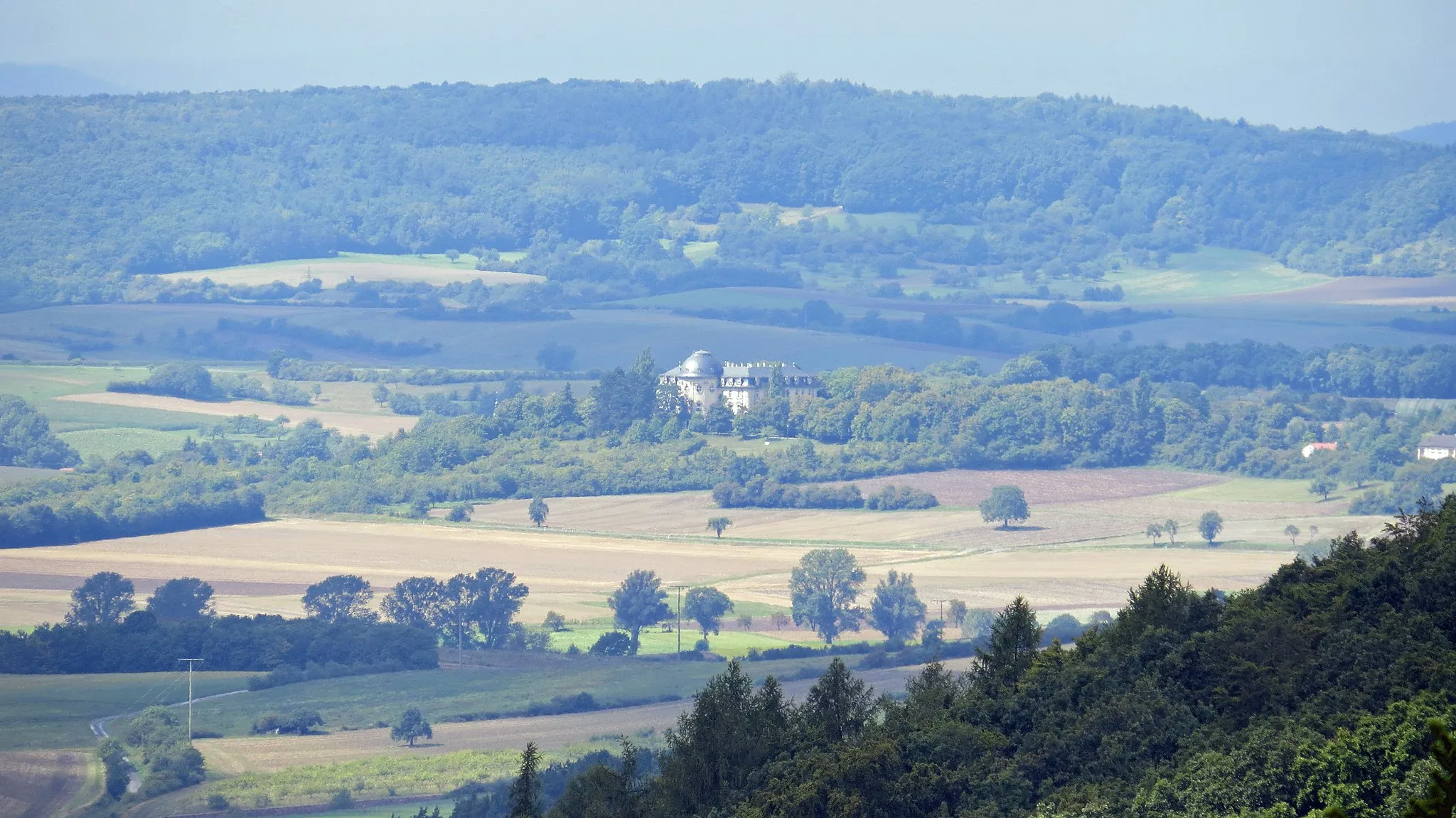
SchmalwasserVillageMarvel at the breathtaking views from the top of Schmalwasser, a popular spot among hikers and cyclists.
53 km
53 km
Tannenkopf461 mPeakExperience the thrill of conquering Tannenkopf, a challenging climb that rewards you with panoramic views of the surrounding countryside.
67 km
67 km
Reyersbacher Höhe359 mPeakVenture to Reyersbacher Höhe and enjoy the scenic beauty of this hilltop viewpoint.
73 km
73 km
UnslebenVillageUnsleben is a hidden gem of the Rhön region, offering beautiful landscapes and historical attractions.
85 km
85 km
Am weissen TurmViewpointDiscover the medieval charm of Am weissen Turm, a historic tower that offers panoramic views of the surrounding countryside.
91 km
91 km
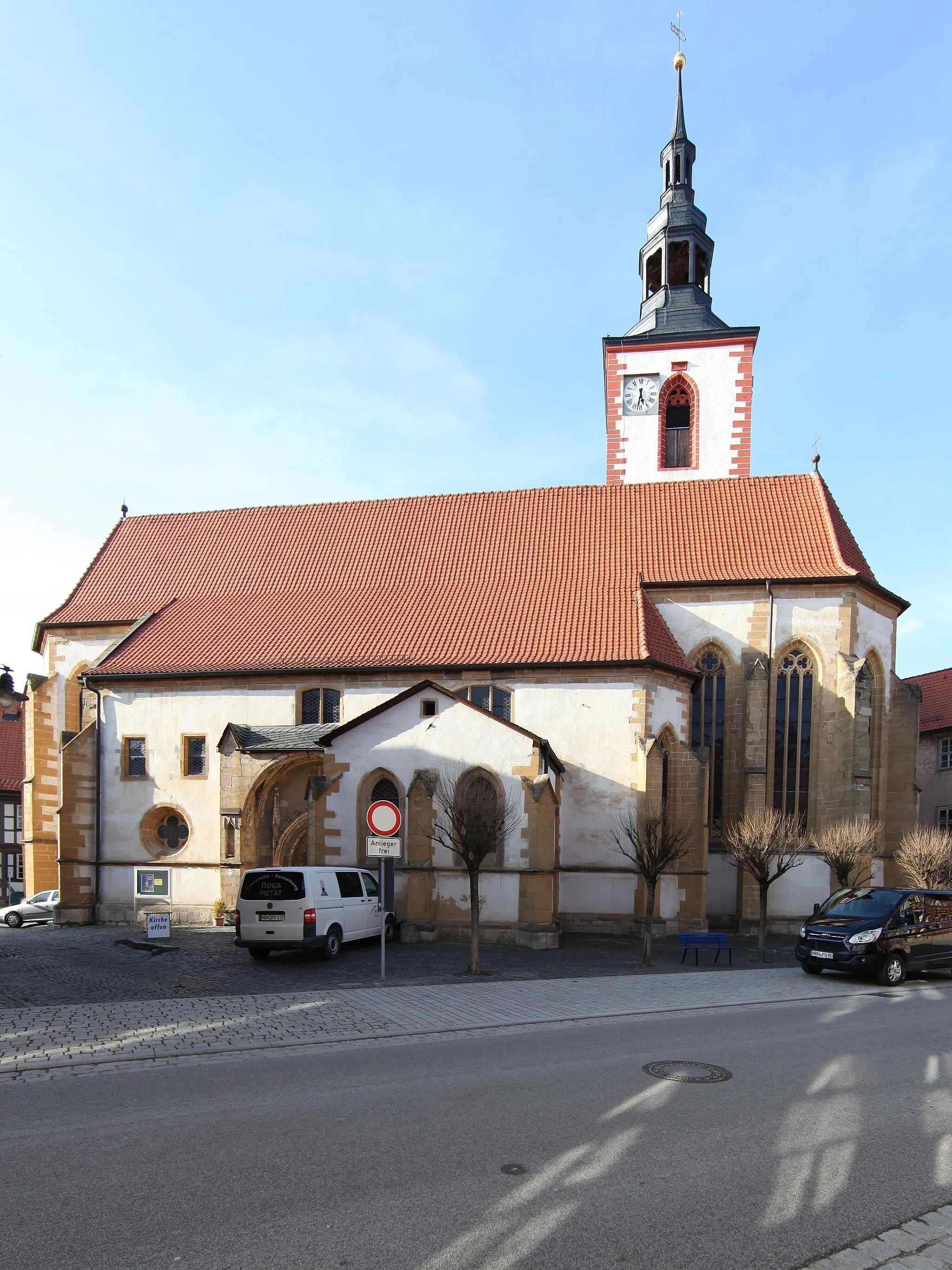
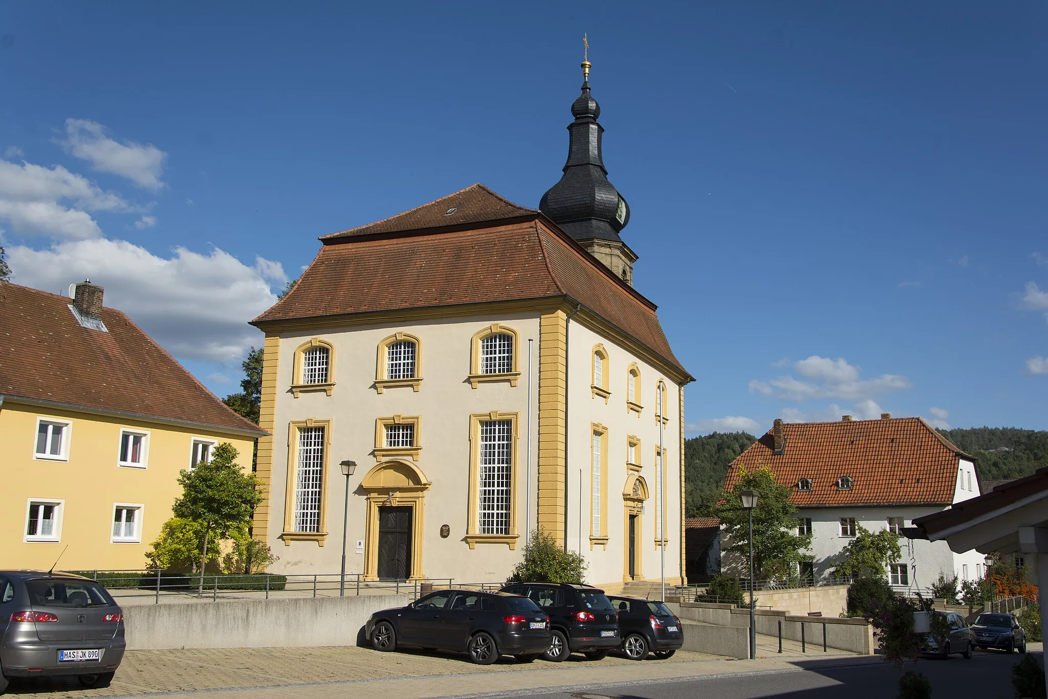
AubstadtVillageVisit the peaceful village of Aubstadt and discover its beautiful church and idyllic countryside surroundings.
96 km
96 km
Finish: Bad Königshofen City centerBad Königshofen im Grabfeld: Cycling haven in Unterfranken, Germany.
Cycling routes from Bad Konigshofen im Grabfeld:
Cycling routes nearby: