The Rhön Explorer
A gravel cycling route starting from Bad Konigshofen im Grabfeld
Experience the diverse landscapes of the Rhön region on this adventurous gravel ride
Map
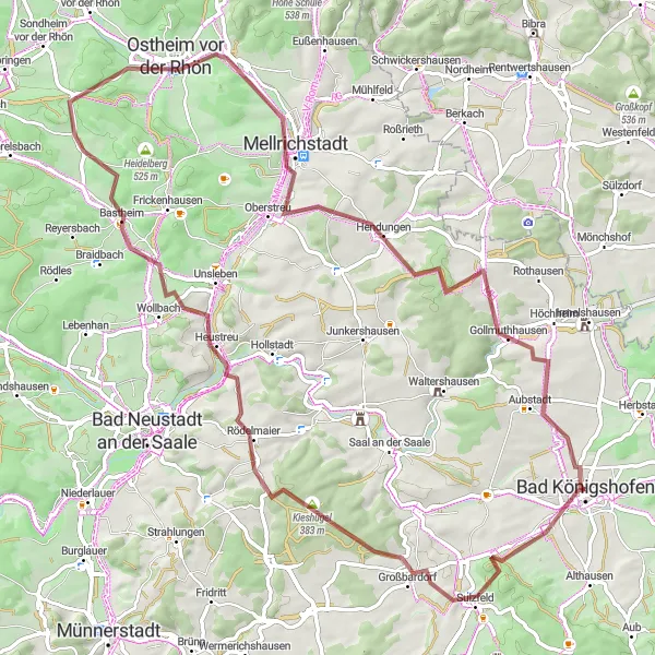
The Rhön Explorer is an epic gravel route that takes you through the stunning landscapes of the Rhön region. With a total distance of 78 km and an elevation gain of 816 meters, this route provides a challenging but rewarding experience for gravel enthusiasts. Pedal through picturesque villages, dense forests, and scenic hills, taking in the beauty of this unique part of Germany. The route starts and ends near Bad Königshofen im Grabfeld, offering plenty of opportunities to explore the attractions and history of the surrounding area. Whether you're a local resident or a visitor, the Rhön Explorer is a must-do for any cycling enthusiast.
gravel
78 km
816 m
Tough
Route profile
Highlights on the route
0 km
0 km
Start: Bad Königshofen City centerBad Königshofen im Grabfeld: Cycling haven in Unterfranken, Germany.
Bad Königshofen im Grabfeld, located in Unterfranken, Germany, is a cyclist-friendly locality. The area offers a mix of scenic and challenging cycling routes, suitable for road and gravel cyclists. Bad Königshofen im Grabfeld is also known for its well-known climbs and famous cycling-related spots nearby, attracting cyclists from all around the region. With its cycling-friendly atmosphere and beautiful landscapes, Bad Königshofen im Grabfeld is a great destination for cyclists of all levels.5 km
5 km
Judenhügel418 mPeakJudenhügel offers panoramic vistas of the Rhön region, where you can see the rolling hills stretching out before you.
11 km
11 km
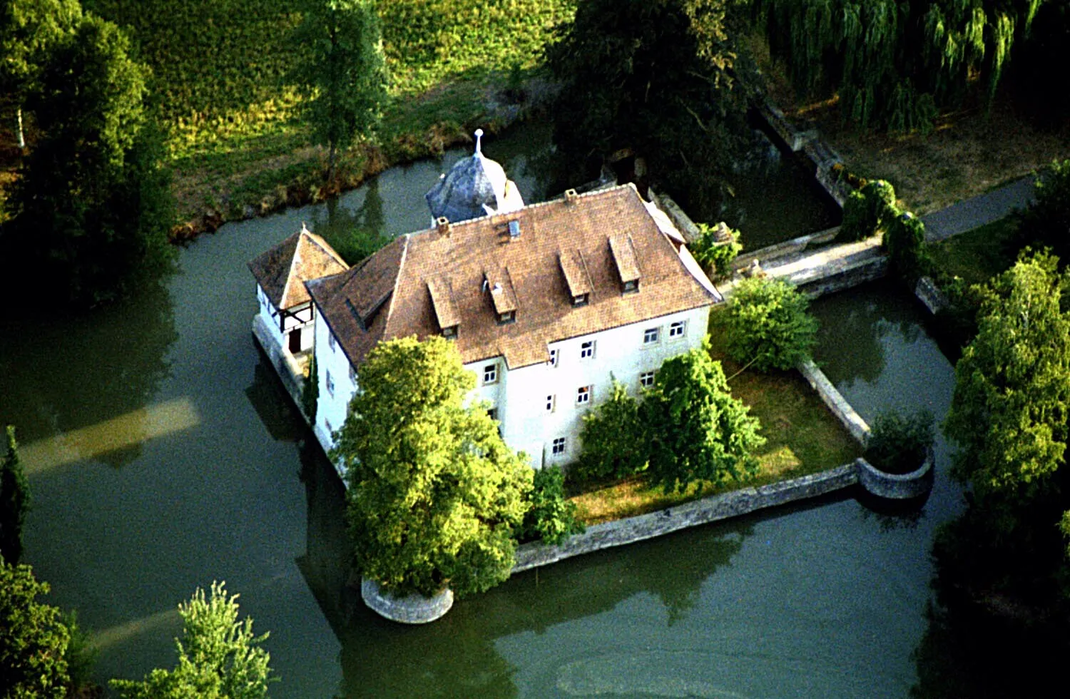
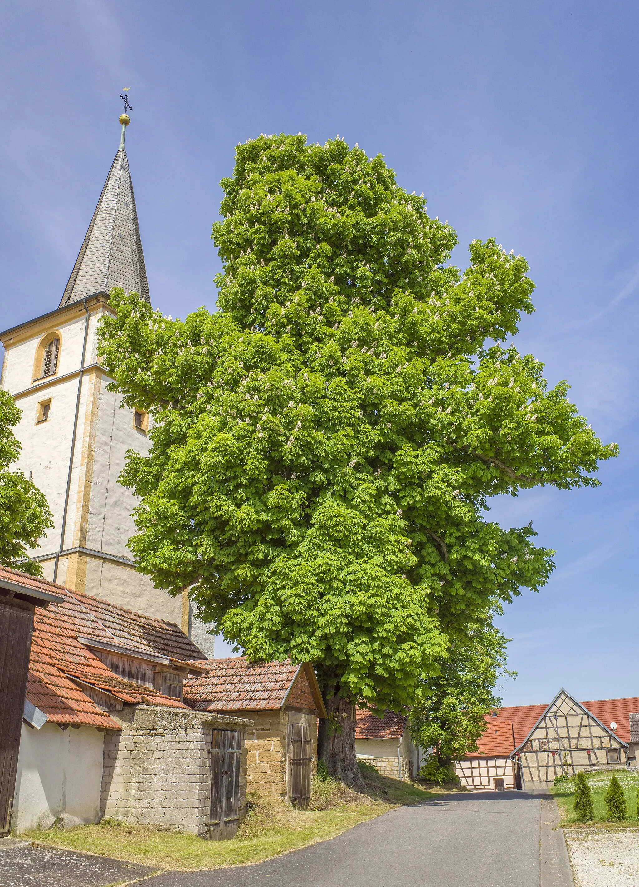
GroßbardorfVillageGroßbardorf is a charming village with traditional half-timbered houses, perfect for a quick rest and some photos.
34 km
34 km
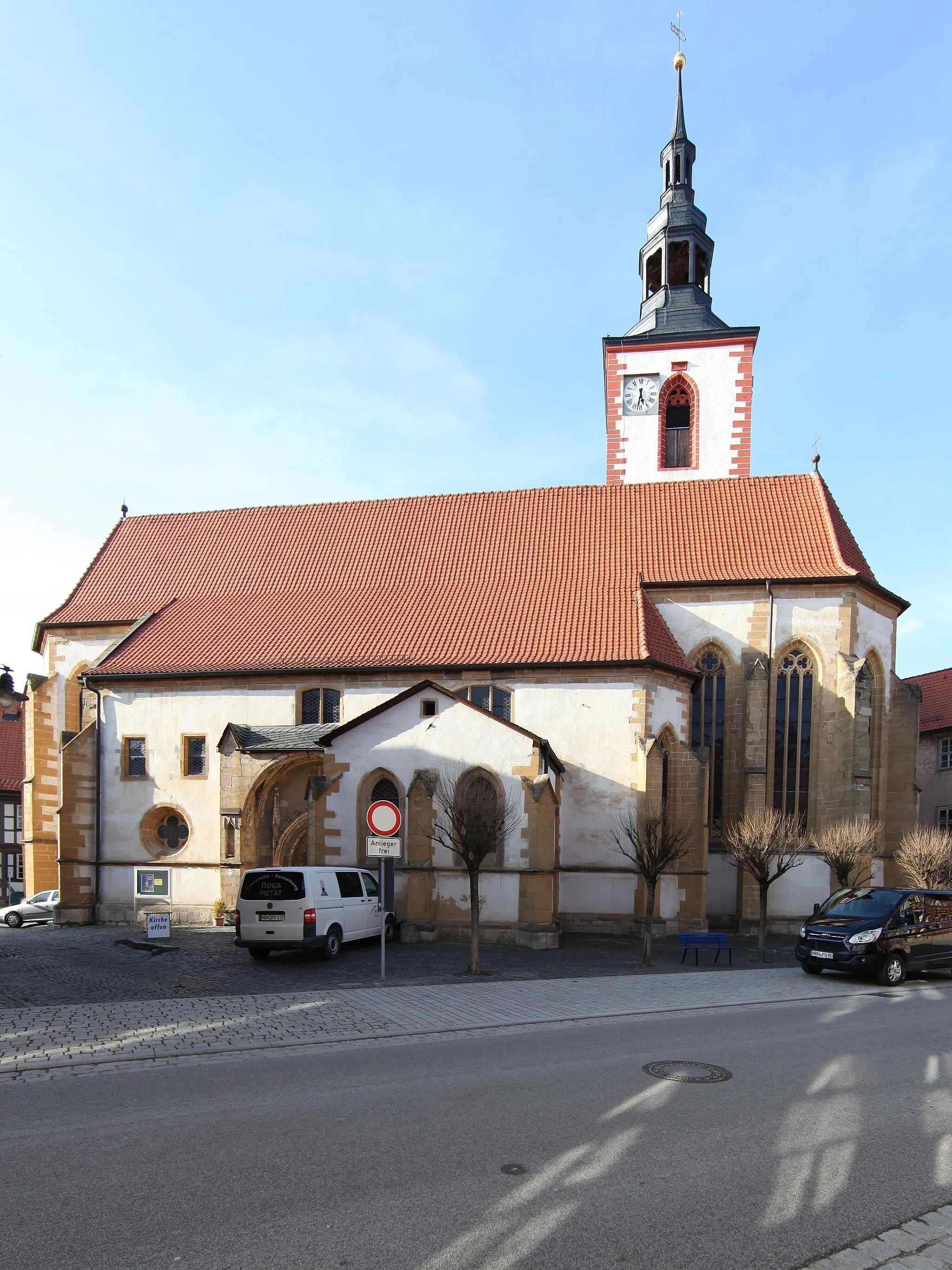
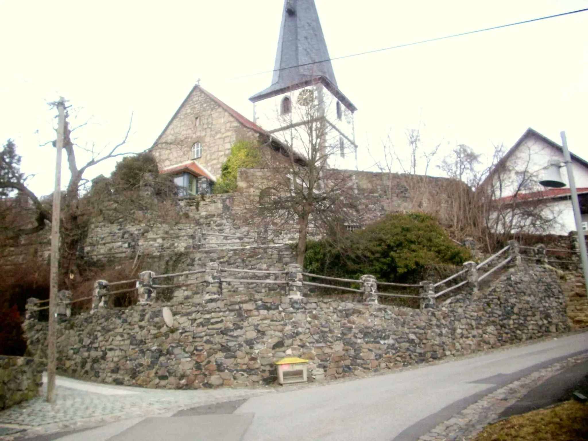
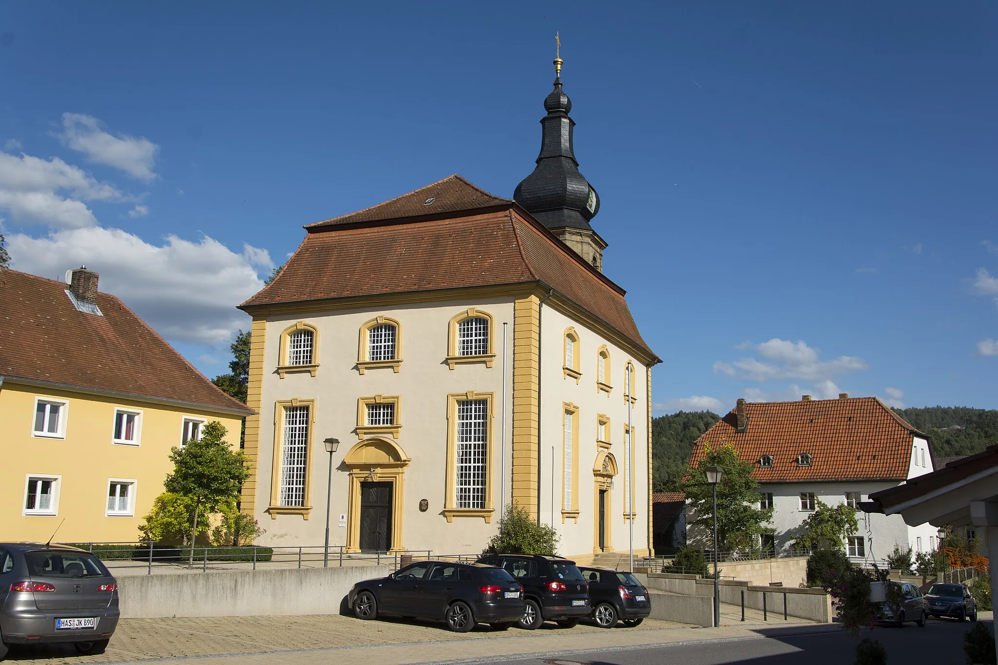
BastheimVillageStop by Bastheim to visit the historic Witches Tower and hear tales of witch trials from centuries ago.
35 km
35 km
Gresselberg385 mPeakGresselberg is a popular hiking spot with breathtaking views of the surrounding countryside. Take a moment to enjoy nature's beauty.
42 km
42 km
Altväter384 mPeakAltväter is known for its impressive rock formations and beautiful landscapes. Don't miss the opportunity to marvel at nature's creations.
45 km
45 km
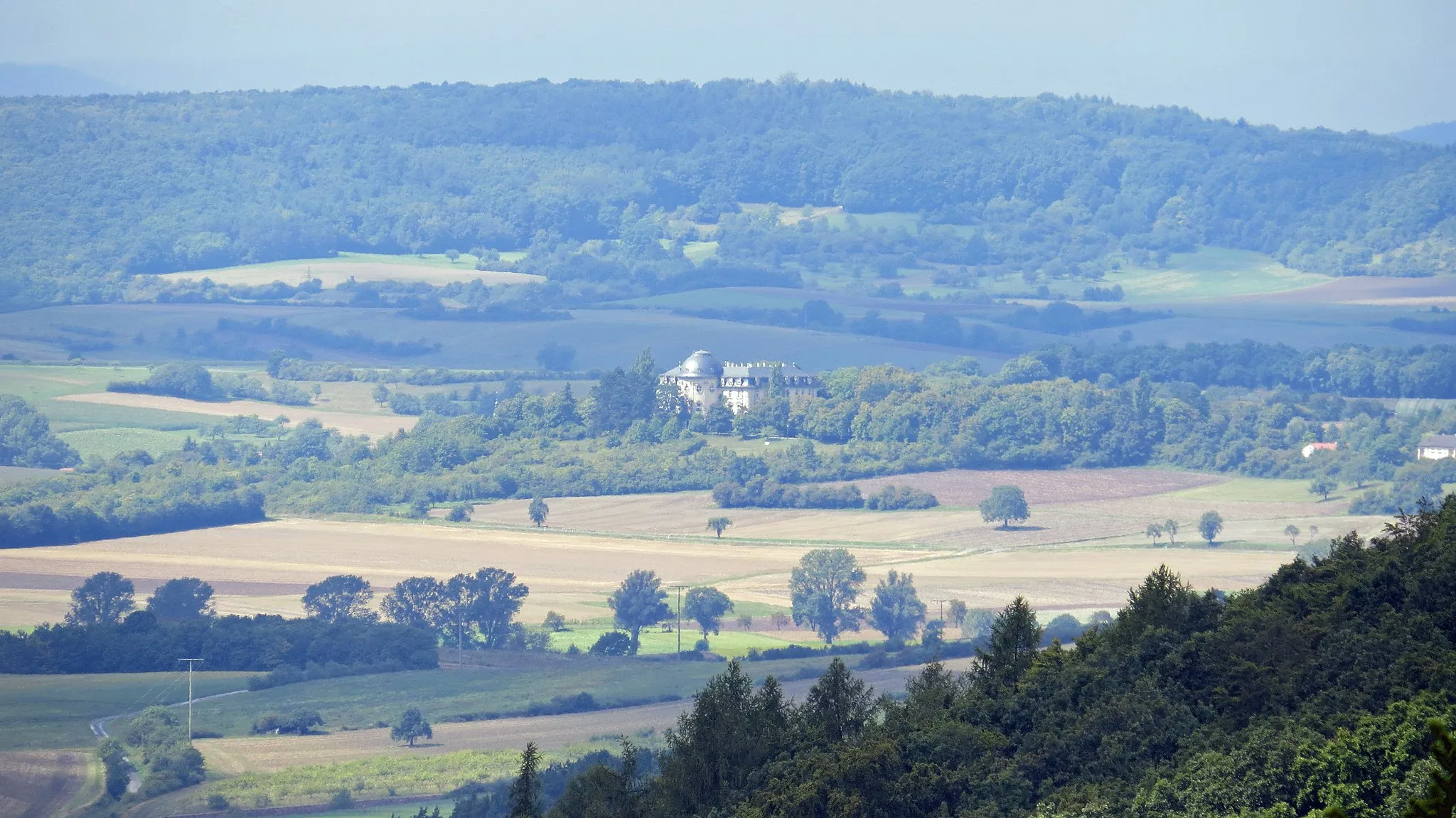
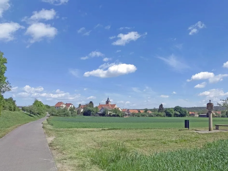
Ostheim vor der RhönTownOstheim vor der Rhön is a quaint town with a historic market square and charming architecture. Explore the town's history and enjoy a leisurely stroll.
60 km
60 km
HendungenVillageHendungen is a small village with a rich agricultural heritage. Take a break and learn about the local farming traditions.
70 km
70 km
Hundsfelder Berg358 mPeakHundsfelder Berg is a challenging climb that rewards you with panoramic views at the top. Test your climbing skills and soak in the stunning landscapes.
78 km
78 km
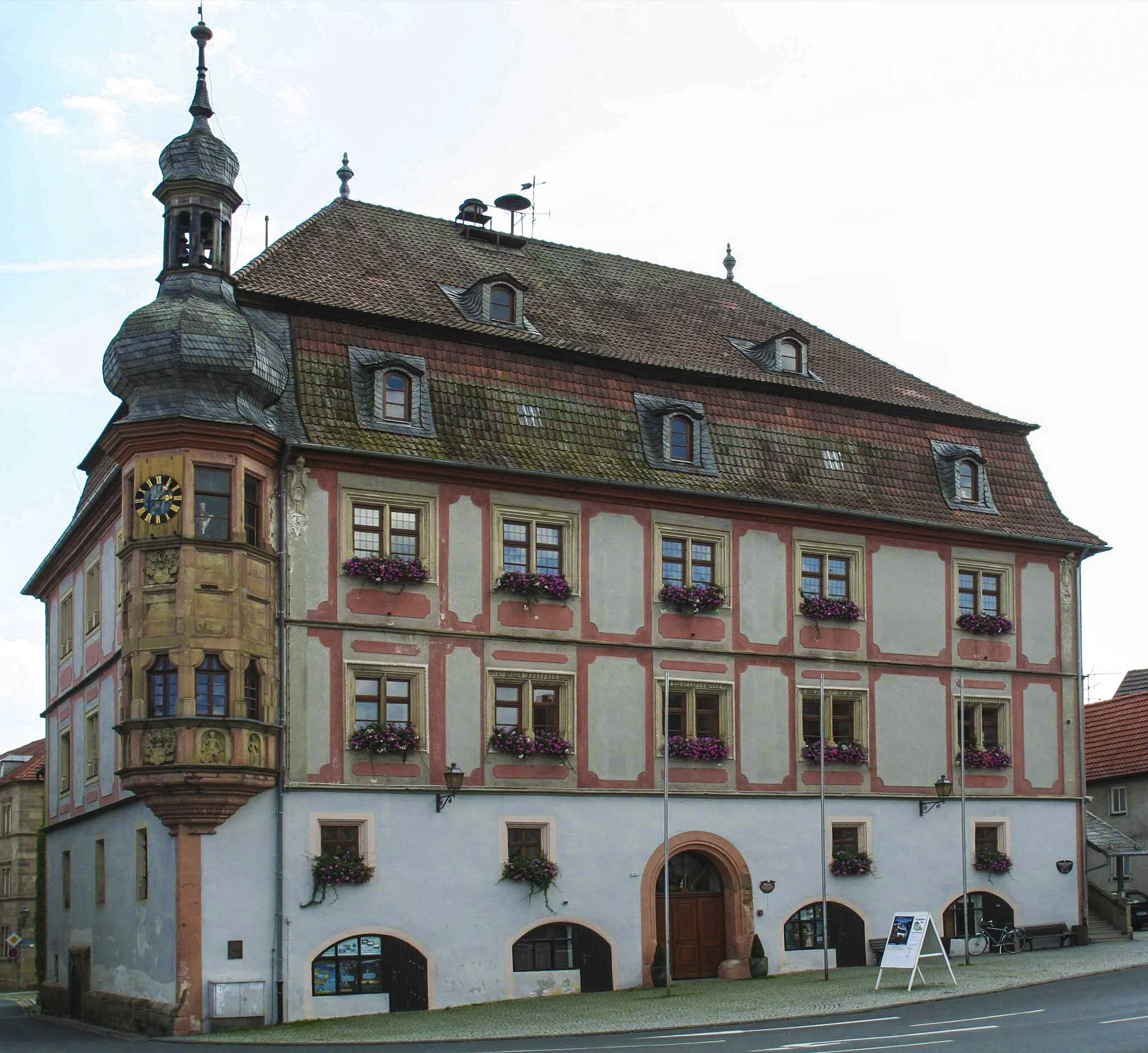
Bad KönigshofenTownBad Königshofen itself offers plenty of attractions, including the beautiful Kurpark and the fascinating Heimatmuseum. Immerse yourself in the local culture and history.
78 km
78 km
Finish: Bad Königshofen City centerBad Königshofen im Grabfeld: Cycling haven in Unterfranken, Germany.
Cycling routes from Bad Konigshofen im Grabfeld:
Cycling routes nearby: