Rhön Adventure
A gravel cycling route starting from Bad Konigshofen im Grabfeld
Explore the adventure of the Rhön region
Map
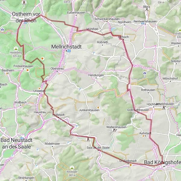
Embark on a thrilling gravel ride through the scenic Rhön region. This route offers a challenging ascent of 727m and covers a distance of 69km. Ride through picturesque towns like Großeibstadt, Unsleben, and Ostheim vor der Rhön. With highlights including the historic site of Zehntberg, the panoramic views from Großer Lindenberg, and the charming village of Aubstadt, this route promises an exciting and rewarding cycling experience.
gravel
69 km
727 m
Tough
Route profile
Highlights on the route
0 km
0 km
Start: Bad Königshofen City centerBad Königshofen im Grabfeld: Cycling haven in Unterfranken, Germany.
Bad Königshofen im Grabfeld, located in Unterfranken, Germany, is a cyclist-friendly locality. The area offers a mix of scenic and challenging cycling routes, suitable for road and gravel cyclists. Bad Königshofen im Grabfeld is also known for its well-known climbs and famous cycling-related spots nearby, attracting cyclists from all around the region. With its cycling-friendly atmosphere and beautiful landscapes, Bad Königshofen im Grabfeld is a great destination for cyclists of all levels.4 km
4 km
GroßeibstadtVillageStop by Großeibstadt, a charming town with beautiful architecture and a rich cultural heritage.
8 km
8 km
Zehntberg308 mPeakExperience the ancient history of Zehntberg, a historical site known for its interesting archaeological findings.
21 km
21 km
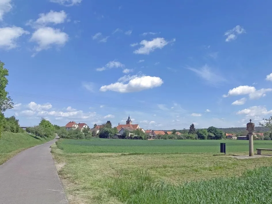
UnslebenVillageUnsleben is a hidden gem of the Rhön region, offering beautiful landscapes and historical attractions.
25 km
25 km
Eiersberg311 mPeakEnjoy the breathtaking views from the top of Eiersberg, a must-see spot for nature lovers.
32 km
32 km
Großer Lindenberg411 mPeakClimb to the summit of Großer Lindenberg and be rewarded with stunning panoramic views of the surrounding countryside.
36 km
36 km
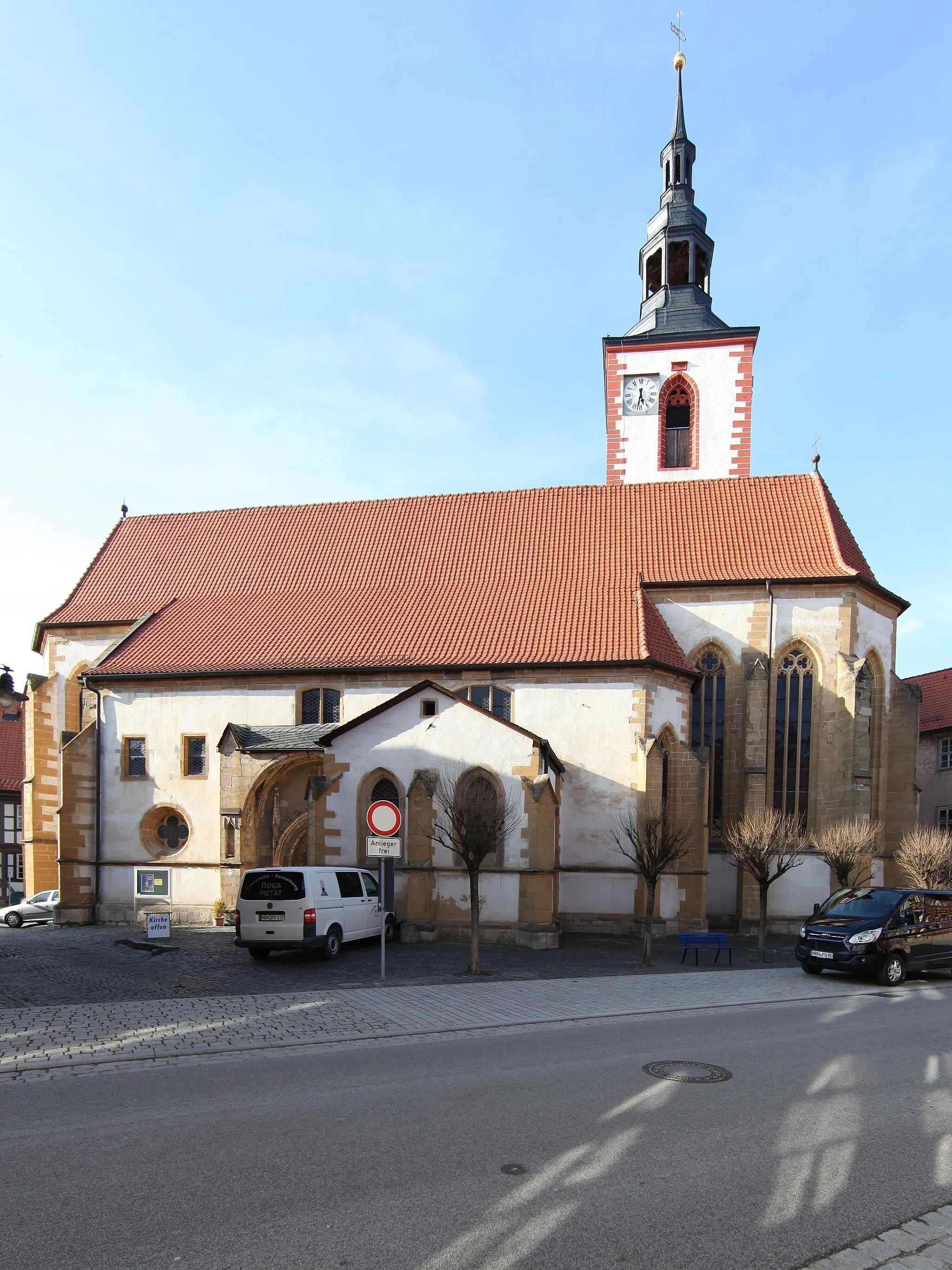
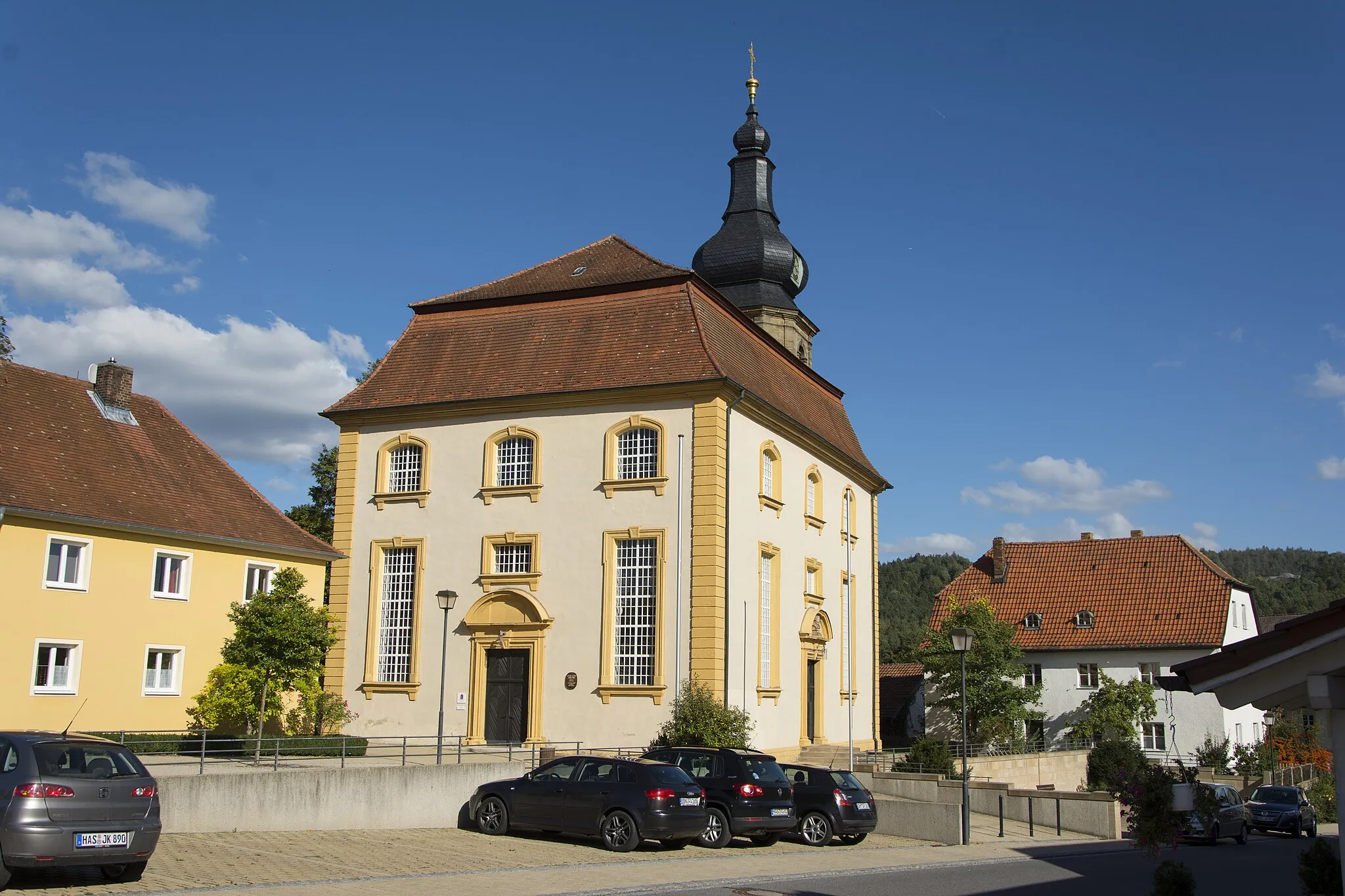
Ostheim vor der RhönTownOstheim vor der Rhön is a quaint town with charming half-timbered houses and a rich history.
54 km
54 km
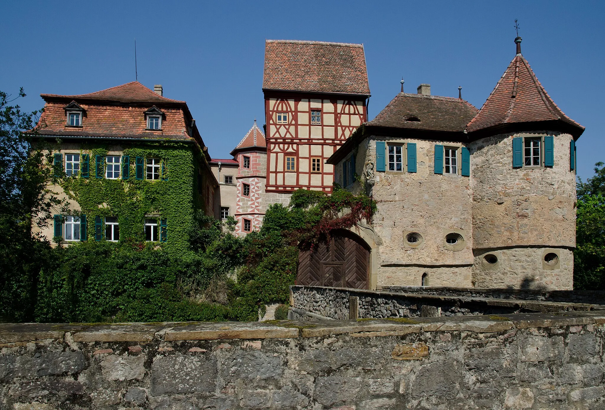
BehrungenVillageExplore the village of Behrungen and learn about its historical significance during the Thirty Years' War.
61 km
61 km
Hundsfelder Berg358 mPeakChallenge yourself with the ascent of Hundsfelder Berg, a popular spot among local cyclists.
65 km
65 km
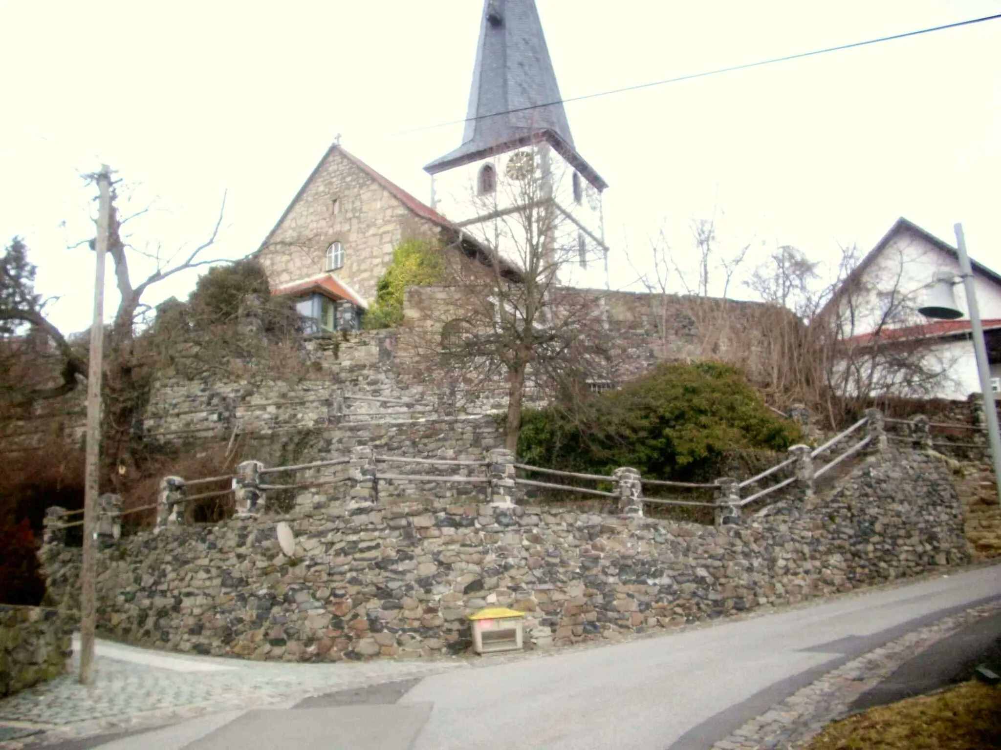
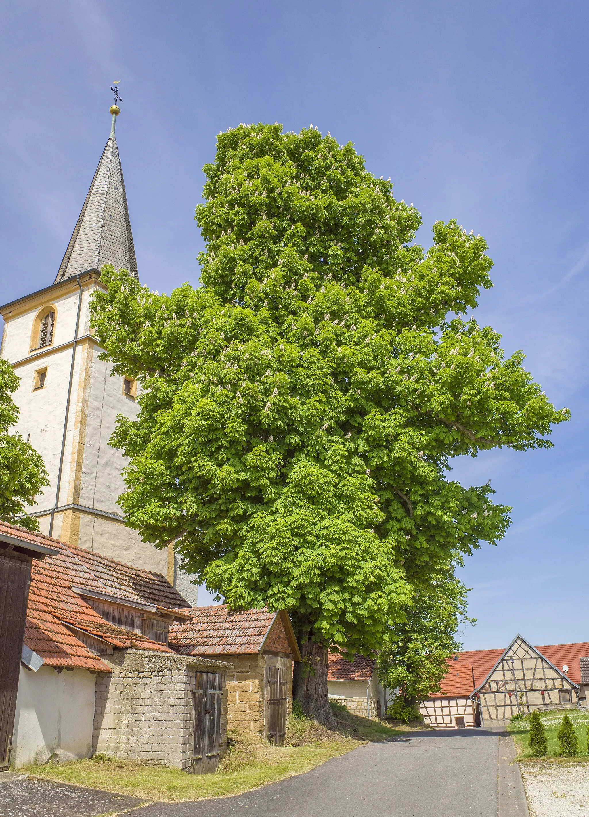
AubstadtVillageVisit the peaceful village of Aubstadt and discover its beautiful church and idyllic countryside surroundings.
69 km
69 km
Finish: Bad Königshofen City centerBad Königshofen im Grabfeld: Cycling haven in Unterfranken, Germany.
Cycling routes from Bad Konigshofen im Grabfeld:
Cycling routes nearby: