Gravel Adventure near Klingenberg am Main
A gravel cycling route starting from Klingenberg am Main
Immerse yourself in the rural beauty of Unterfranken on this challenging gravel route
Map
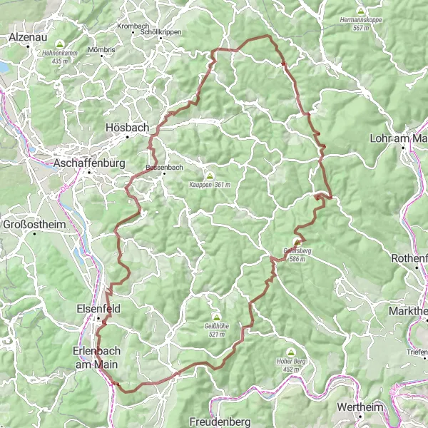
This gravel adventure near Klingenberg am Main offers a challenging and scenic experience for cyclists. With a total distance of 116 kilometers and an ascent of 2149 meters, this route is perfect for experienced riders looking to explore the picturesque landscapes of Unterfranken. Starting near Klingenberg am Main, you will pedal through charming villages, lush forests, and rolling hills. Throughout the route, you will encounter various highlights, each offering a unique perspective on the region's natural and cultural attractions.
gravel
116 km
2149 m
Tough
Route profile
Highlights on the route
0 km
0 km
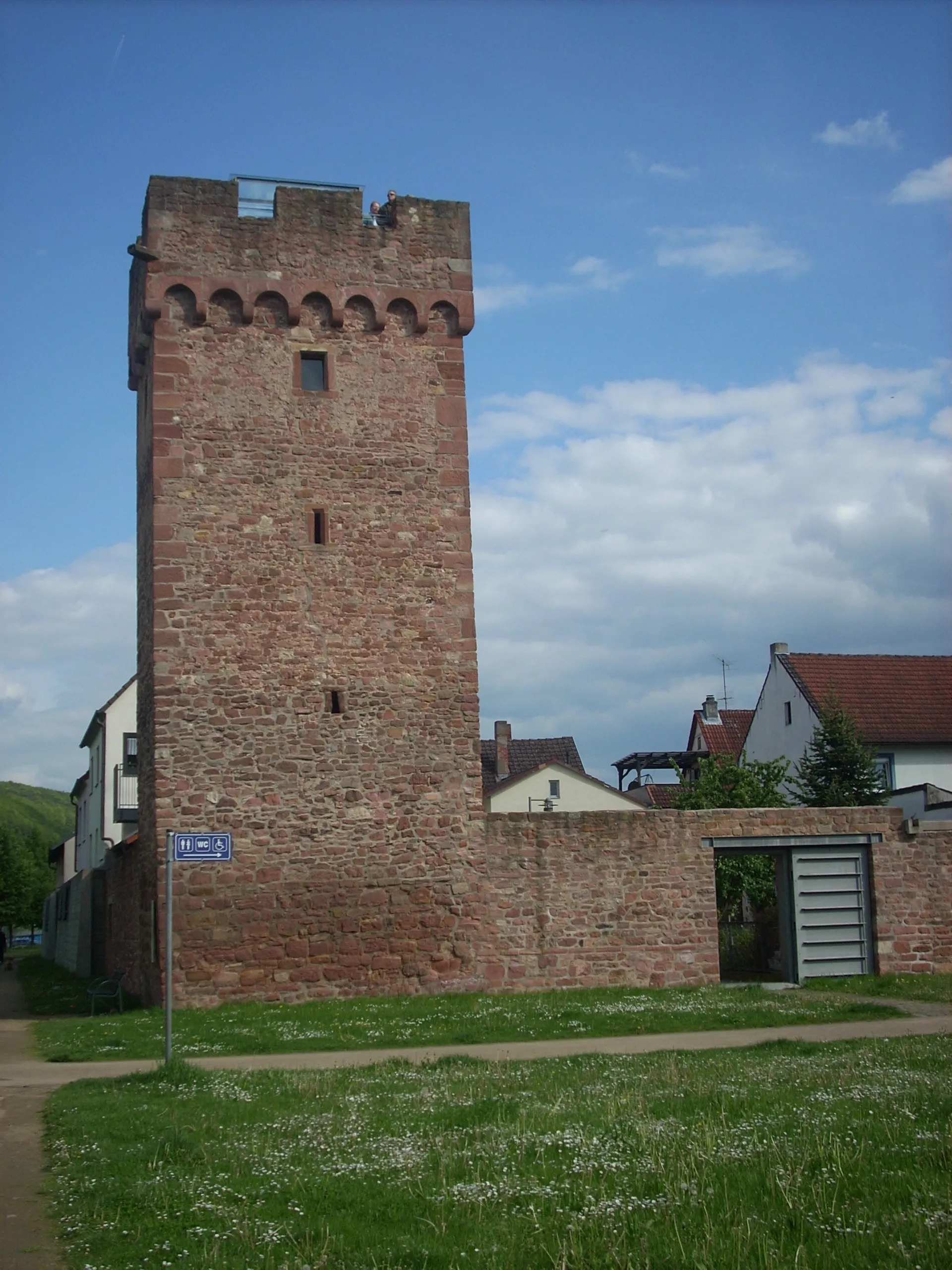
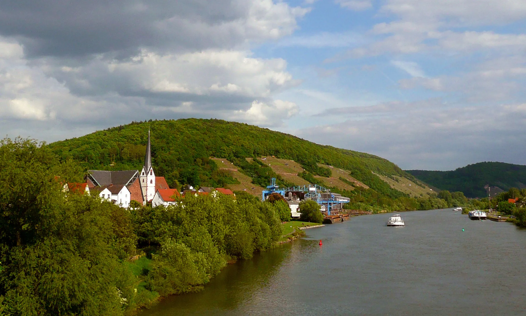
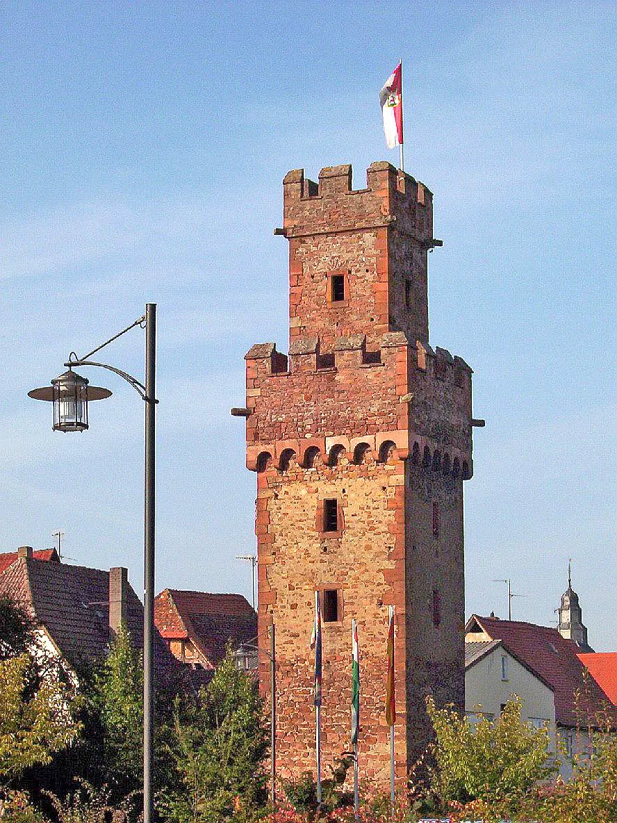
Start: Klingenberg am Main City centerKlingenberg am Main: Idyllic wine country cycling
Klingenberg am Main, located in Unterfranken, Germany, offers a mix of scenic road and off-road cycling opportunities. This picturesque town sits on the banks of the Main River, providing cyclists with beautiful views and gentle rolling terrain. Cyclists can explore the surrounding vineyards, as the region is known for its wine production. Additionally, there are famous climbs nearby, such as the Volkspark Klingenberg, which attracts cyclists from all over the country. With its charming atmosphere and cycling-friendly environment, Klingenberg am Main is an excellent choice for both road and gravel cyclists.3 km
3 km
Erlenbach am MainTownVisit Erlenbach am Main, a beautiful village known for its vineyards and historic charm.
16 km
16 km
Dörnetshöhe292 mPeakClimb up to Dörnetshöhe, where you'll be rewarded with panoramic views of the surrounding countryside.
28 km
28 km
GrünmorsbachVillagePass through Grünmorsbach, a peaceful hamlet surrounded by forests and meadows.
39 km
39 km
Bischlingsberg375 mPeak ViewpointAscend to the summit of Bischlingsberg for breathtaking views of the Main River and the rolling hills of Unterfranken.
49 km
49 km
HeinrichsthalVillageDiscover Heinrichsthal, a small village renowned for its traditional half-timbered houses and scenic beauty.
50 km
50 km
Berg476 mPeakClimb the challenging slopes of Berg and enjoy the sense of achievement at the top.
61 km
61 km
WiesthalVillagePass through Wiesthal and admire the idyllic scenery of the Spessart Nature Park.
69 km
69 km
Küppel515 mPeakExperience the peacefulness of Küppel, a quaint village surrounded by green fields and rolling hills.
86 km
86 km
Lärchhöhe573 mPeakCycle to Lärchhöhe and enjoy the tranquility of the dense forests that dominate the landscape.
88 km
88 km
RohrbrunnHamletStop by Rohrbrunn and admire the charming architecture of the village while indulging in local cuisine.
112 km
112 km
Eicher313 mPeakExplore the rural charms of Eicher, a small village nestled in the scenic countryside.
116 km
116 km
Finish: Klingenberg am Main City centerKlingenberg am Main: Idyllic wine country cycling
Cycling routes from Klingenberg am Main:
Unterfranken Adventure Gravel Adventure Charming Gravel Ride Scenic Route to Klingenberg am Main Hills and Valleys Gravel Challenge Exploring Main River Valley Road Cycling Adventure Scenic Gravel Exploration Gravel Adventure to Klingenberg am Main Road to Klingenberg am Main Gravel Adventure near Klingenberg am Main
Cycling routes nearby: