Road to Klingenberg am Main
A road cycling route starting from Klingenberg am Main
Bike through scenic Unterfranken to the charming town of Klingenberg am Main.
Map
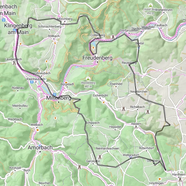
Cycle through the rolling hills of Unterfranken to experience scenic landscapes and discover the historic town of Klingenberg am Main. This road route offers a challenging ascent of 1346m over 88km, making it suitable for well-trained amateurs with good fitness levels. Along the way, you'll encounter several highlights, including Geisersberg, a hill with stunning views, and Dorfprozelten, a picturesque village along the Main River. The route ends in Klingenberg am Main, a hidden gem known for its beautiful landscapes and charming atmosphere.
road
88 km
1346 m
Tough
Route profile
Highlights on the route
0 km
0 km
Start: Klingenberg am Main City centerKlingenberg am Main: Idyllic wine country cycling
Klingenberg am Main, located in Unterfranken, Germany, offers a mix of scenic road and off-road cycling opportunities. This picturesque town sits on the banks of the Main River, providing cyclists with beautiful views and gentle rolling terrain. Cyclists can explore the surrounding vineyards, as the region is known for its wine production. Additionally, there are famous climbs nearby, such as the Volkspark Klingenberg, which attracts cyclists from all over the country. With its charming atmosphere and cycling-friendly environment, Klingenberg am Main is an excellent choice for both road and gravel cyclists.9 km
9 km
Geiersberg512 mPeakGeiersberg is a must-stop highlight offering breathtaking views of the surrounding countryside.
16 km
16 km
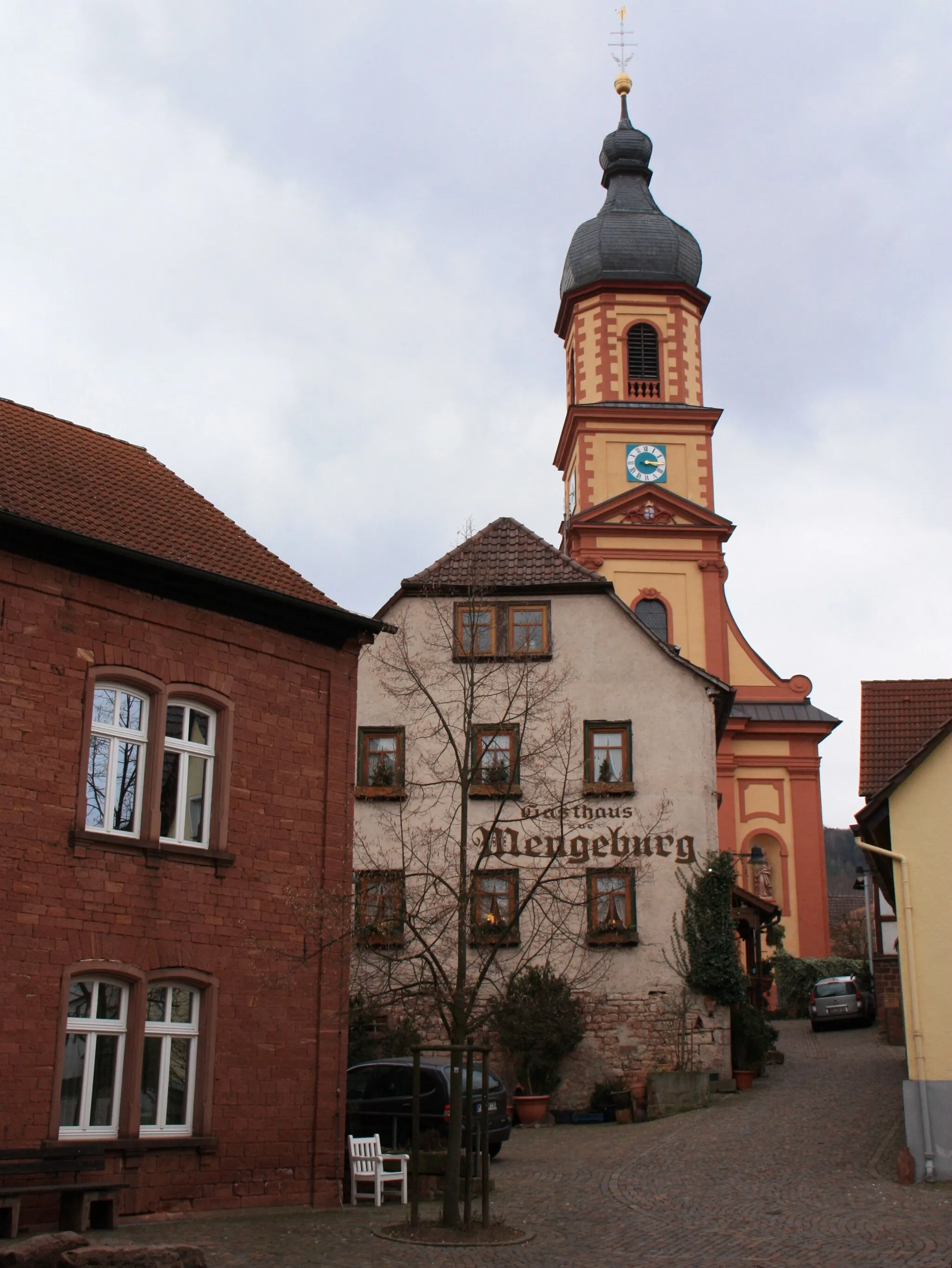
CollenbergVillageCollenberg is a quaint town with a well-preserved medieval castle.
25 km
25 km
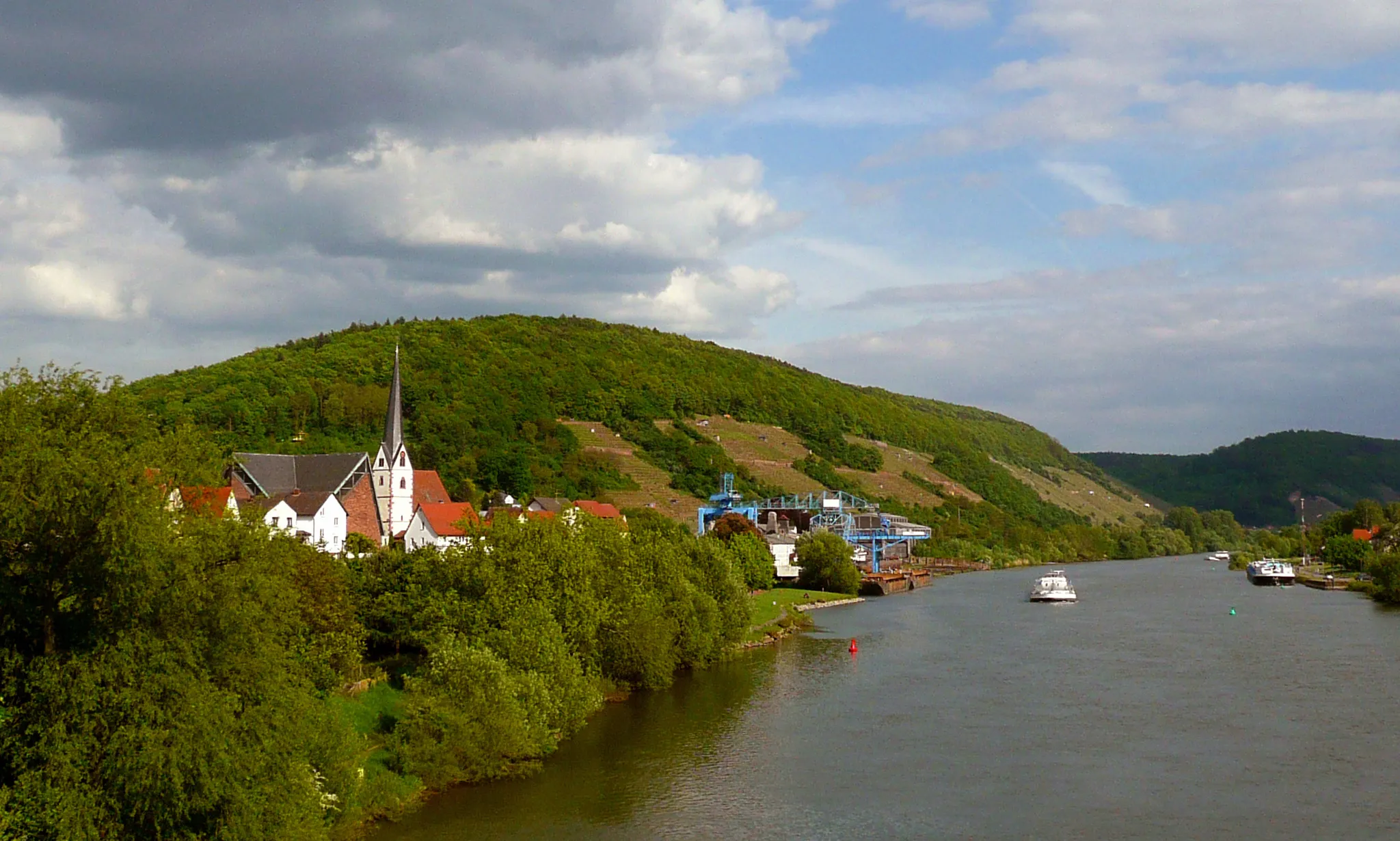
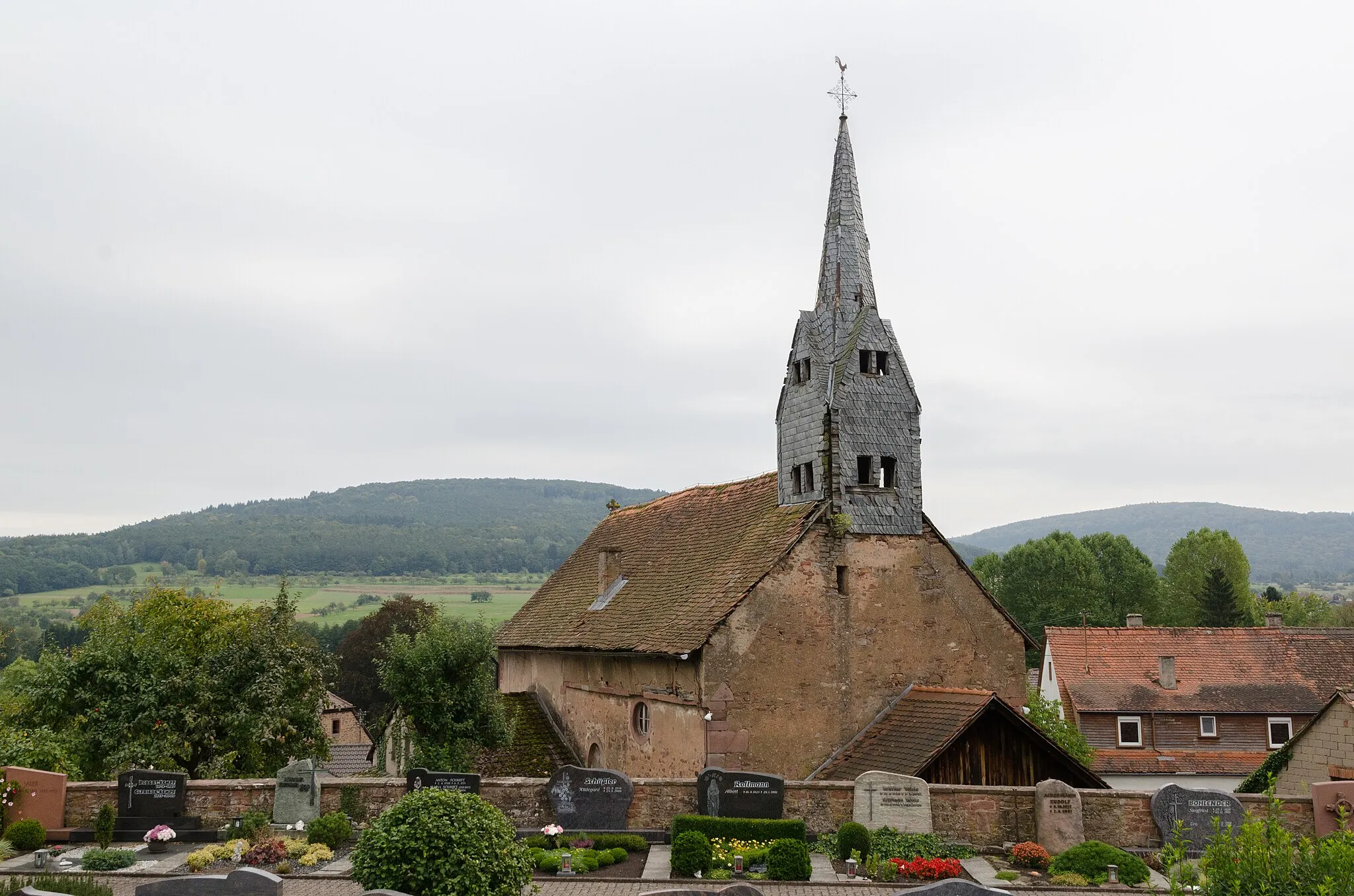
DorfprozeltenVillageDorfprozelten is a charming village located on the banks of the Main River.
29 km
29 km
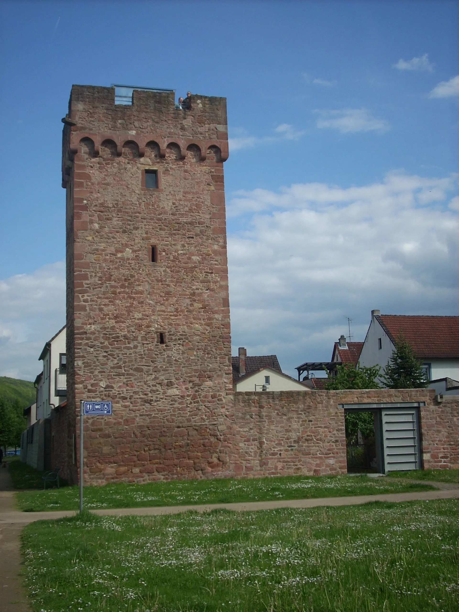
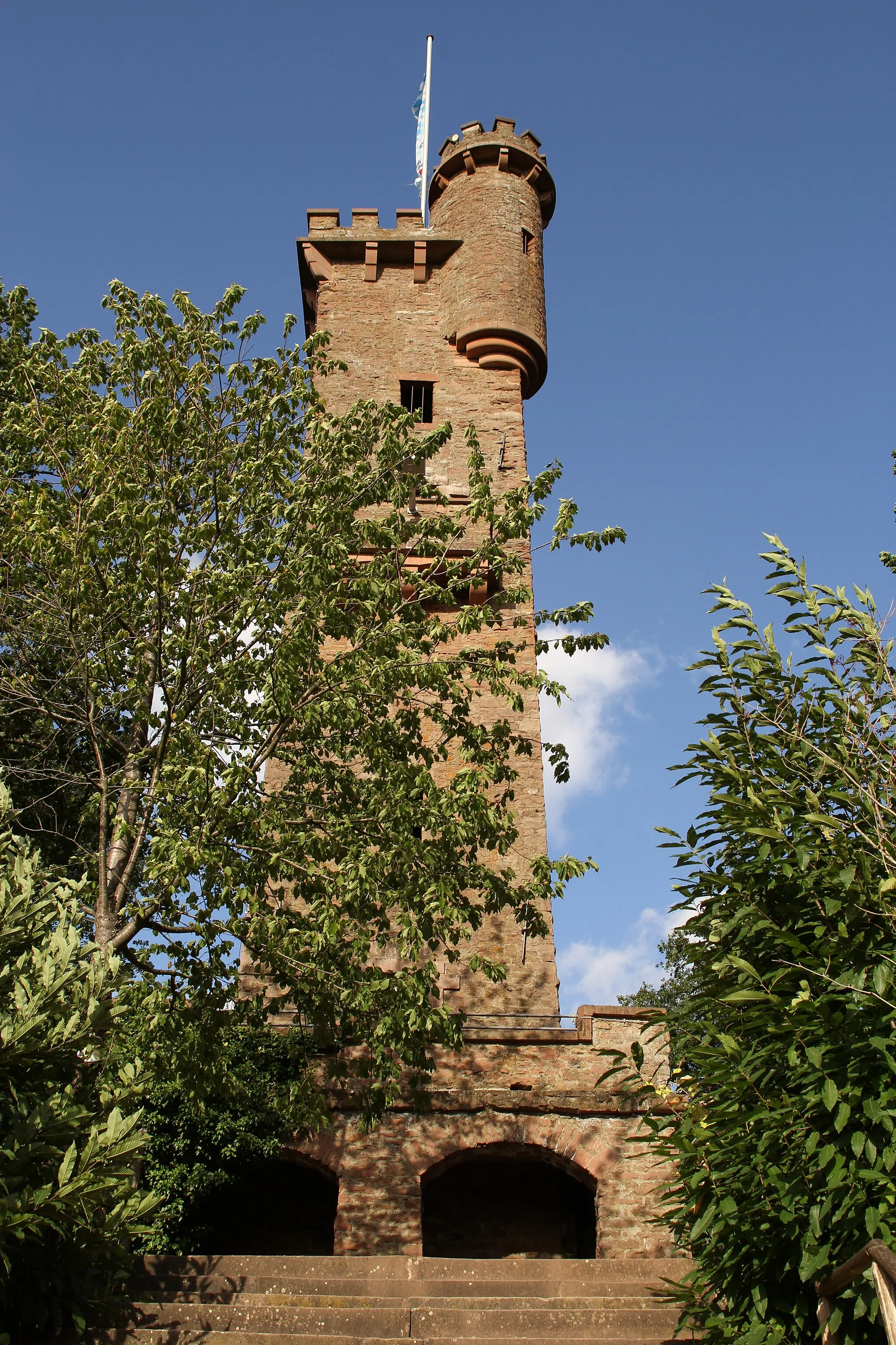
HolzturmViewpointHolzturm is a wooden tower that provides panoramic views of the region.
52 km
52 km
DornbergVillageDornberg is a hill offering scenic vistas of the surrounding landscapes.
75 km
75 km
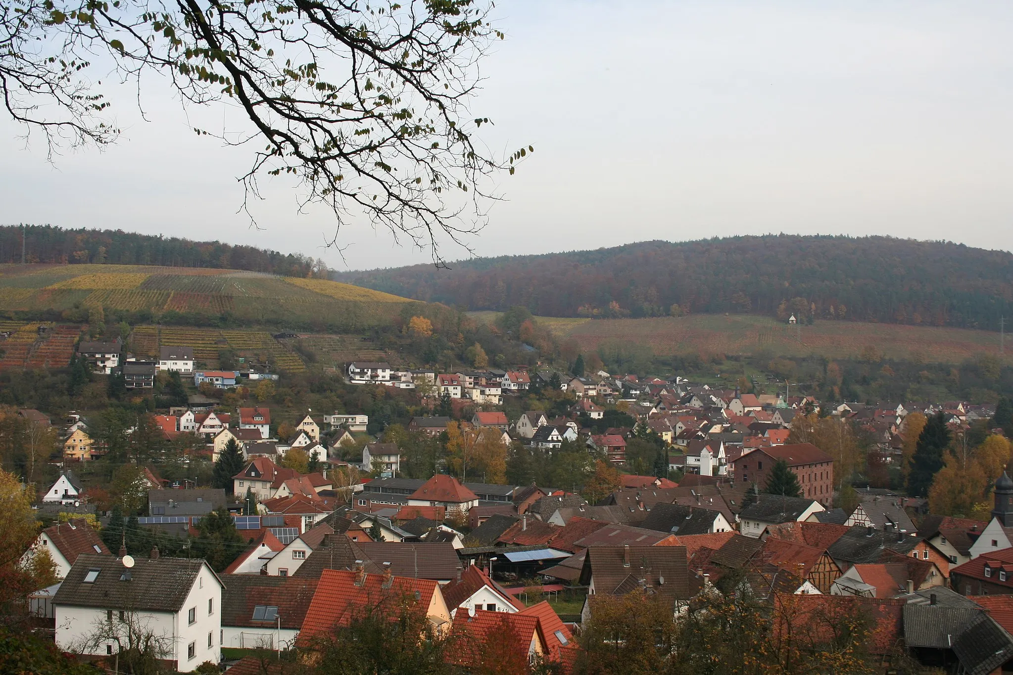
MiltenbergTownMiltenberg is a historic town known for its well-preserved half-timbered houses.
76 km
76 km
PlattformViewpointPlattform is a viewing platform that offers stunning views of the Main River and surrounding nature.
87 km
87 km
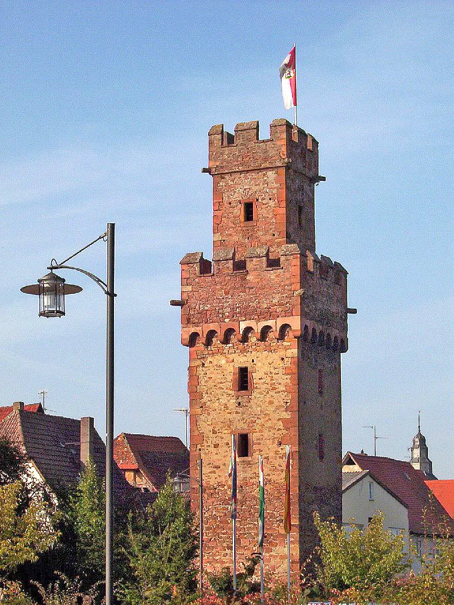
Aussichtsturm KlingenbergViewpointAussichtsturm Klingenberg is a tower providing panoramic views of Klingenberg am Main and the nearby valley.
88 km
88 km
Klingenberg am MainTownKlingenberg am Main is a charming town located on the banks of the Main River.
88 km
88 km
Finish: Klingenberg am Main City centerKlingenberg am Main: Idyllic wine country cycling
Cycling routes from Klingenberg am Main:
Unterfranken Adventure Gravel Adventure Charming Gravel Ride Scenic Route to Klingenberg am Main Hills and Valleys Gravel Challenge Exploring Main River Valley Road Cycling Adventure Scenic Gravel Exploration Gravel Adventure to Klingenberg am Main Road to Klingenberg am Main Gravel Adventure near Klingenberg am Main
Cycling routes nearby: