Mainbernheim Scenic Gravel Ride
A gravel cycling route starting from Mainbernheim
Embark on a scenic gravel ride around Mainbernheim and discover the beauty of the region.
Map
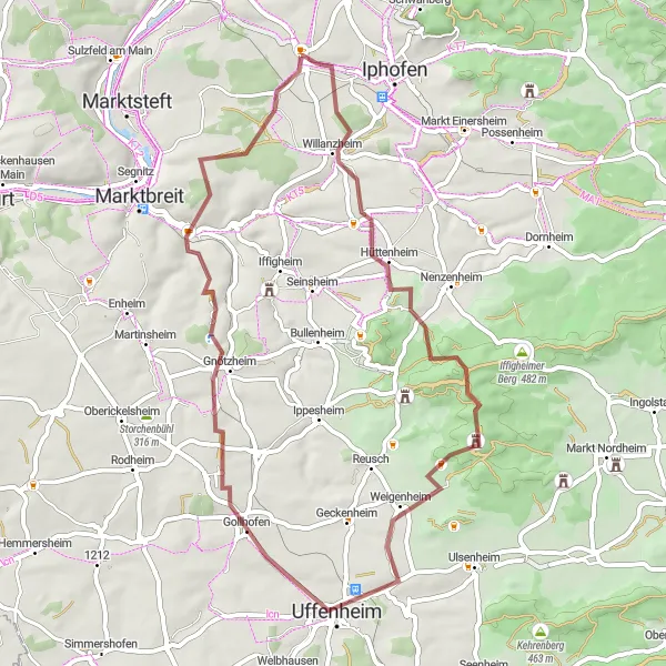
This gravel route covers a distance of 52 kilometers with a total ascent of 548 meters. Enjoy the idyllic landscapes and explore the highlights along the way.
gravel
52 km
548 m
Chill
Route profile
Highlights on the route
0 km
0 km
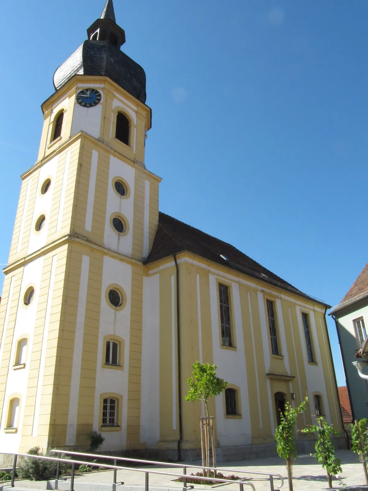
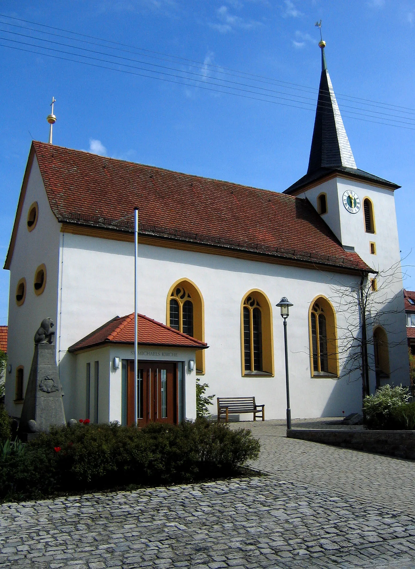
Start: Mainbernheim City centerMainbernheim: Discover the world of Franconian wine while cycling through charming Mainbernheim.
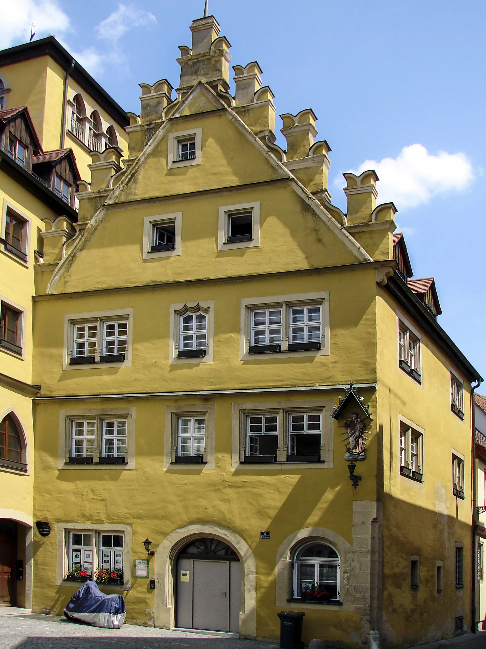
Mainbernheim is a small town located in the Unterfranken region of Germany. Being in the heart of the Franconian wine region, it offers scenic cycling routes amidst picturesque vineyards and charming villages. Road cyclists can enjoy undulating terrain with designated bike lanes, while gravel cyclists can explore various trails. The town itself is steeped in historic charm, with well-preserved medieval buildings and a lively town center. Nearby, cyclists can visit the famous Frankenwein wine-growing area or take on the challenge of the notorious Hell Valley climb in the Steigerwald nature reserve.4 km
4 km
WillanzheimVillage11 km
11 km
Steinbuckel337 mPeakPass through Willanzheim and admire its beautiful vineyards and charming wine cellars.
17 km
17 km
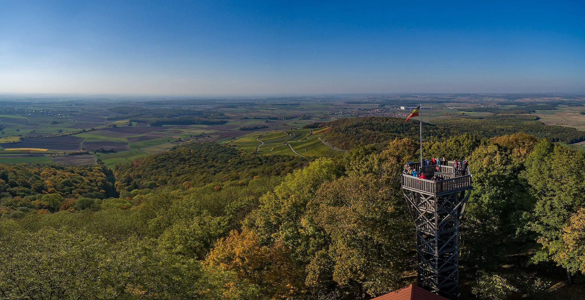
Hoher Landsberg498 mPeakClimb up Hoher Landsberg and enjoy scenic views of the Franconian wine region.
27 km
27 km
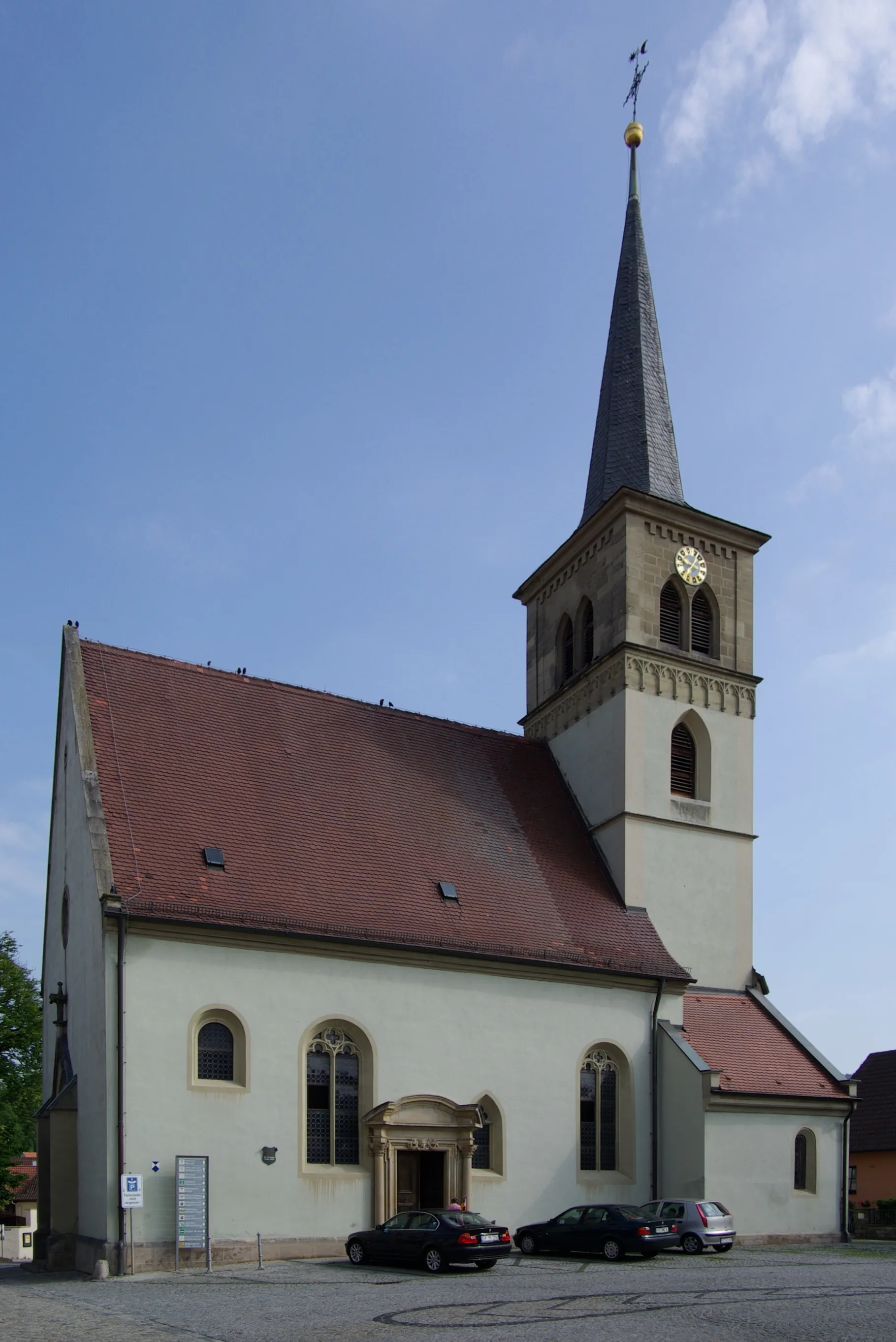
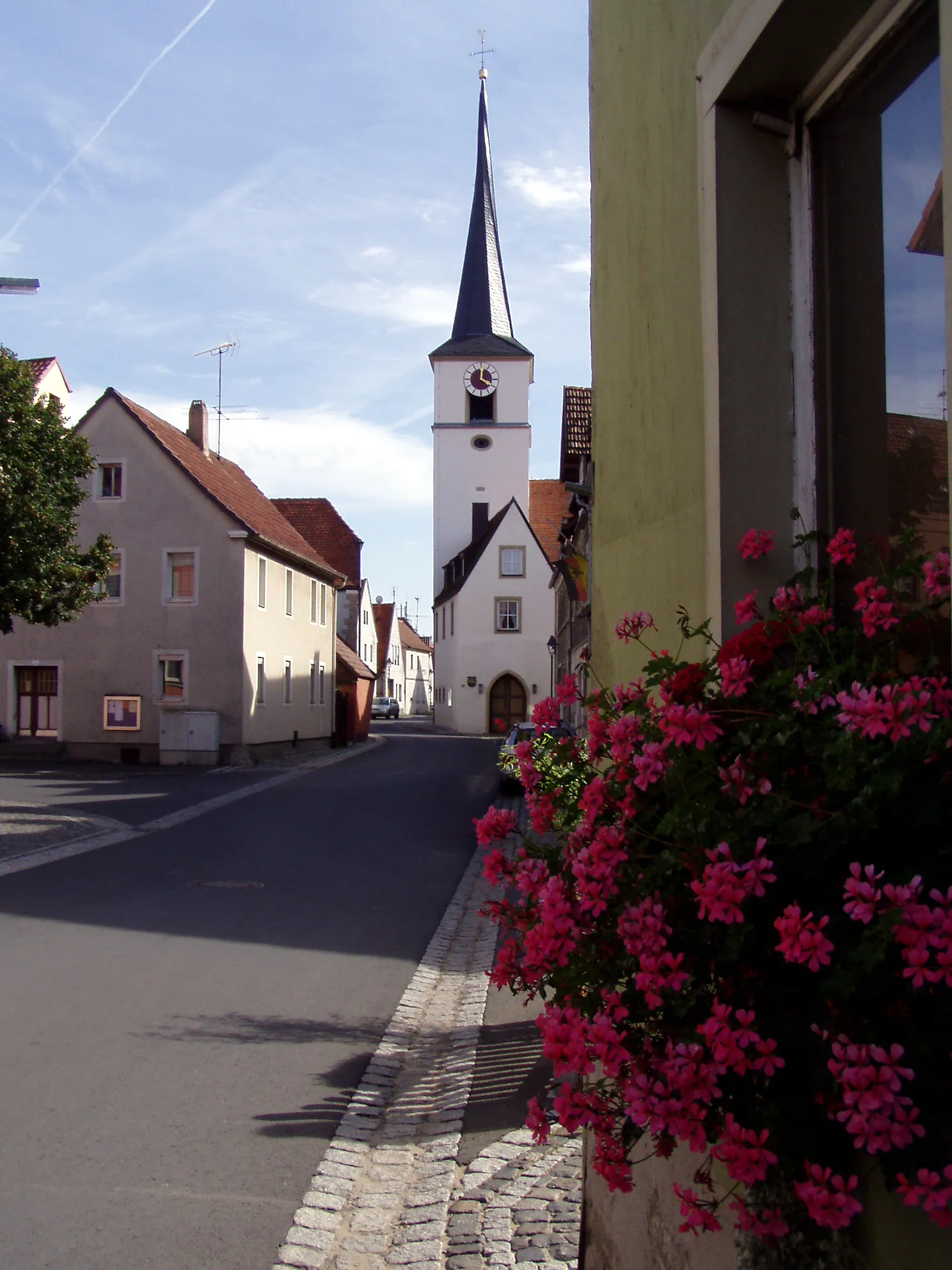
UffenheimTownCycle through Uffenheim and explore its well-preserved medieval town center.
44 km
44 km
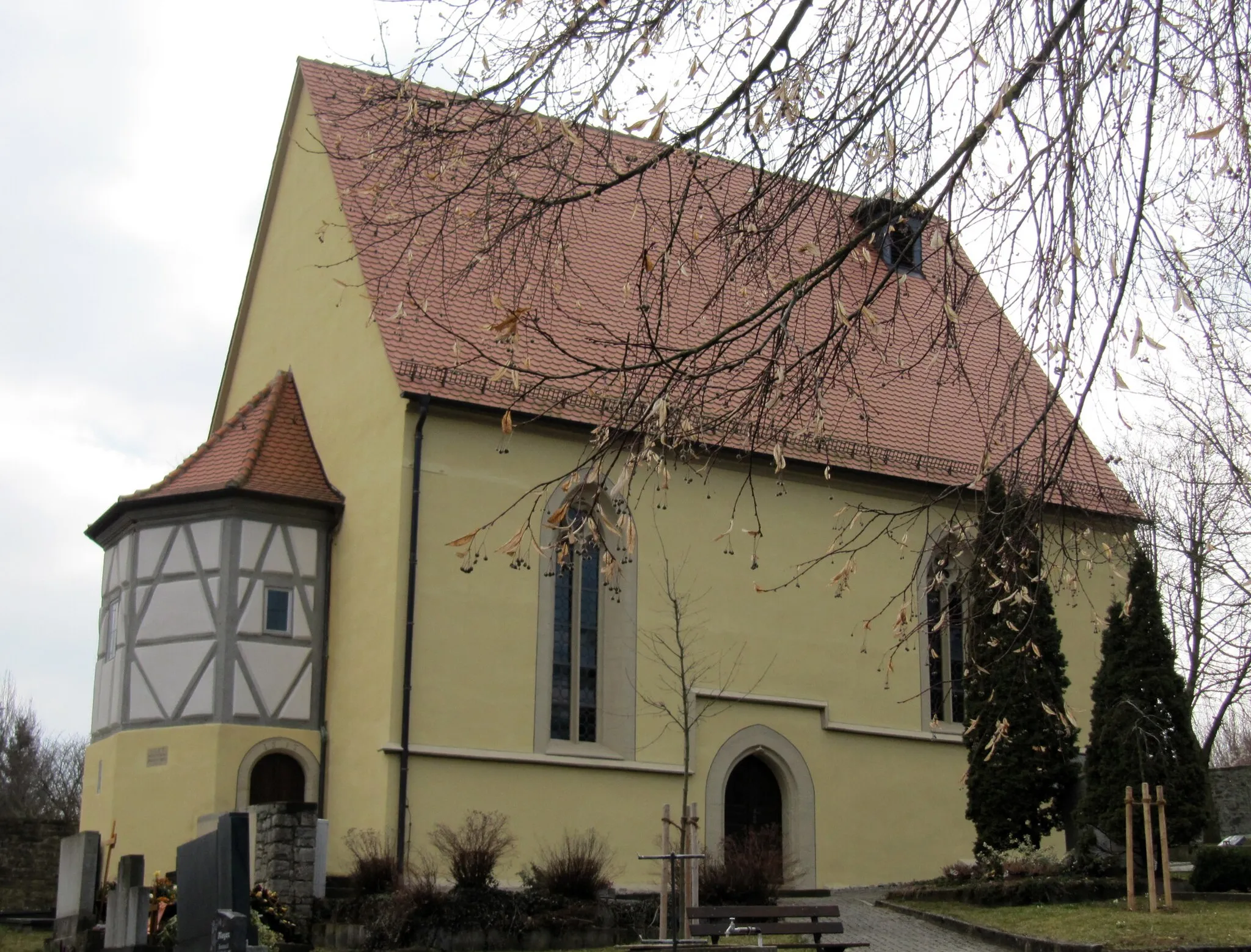
ObernbreitVillageVisit Obernbreit and discover its historic buildings and scenic riverside location.
52 km
52 km
MainbernheimTownStart and end your ride in Mainbernheim, a charming town with a rich history and beautiful old town center.
52 km
52 km
Finish: Mainbernheim City centerMainbernheim: Discover the world of Franconian wine while cycling through charming Mainbernheim.
Cycling routes from Mainbernheim:
Mainbernheim to Martinsheim Round Trip Mainbernheim to Segnitz Gravel Adventure Mainbernheim to Kitzingen Road Challenge Mainbernheim Gravel Loop via Prühler Berg Mainbernheim Scenic Gravel Ride Mainbernheim - Marktbreit - Giebelstadt - Altertheim - Hübschenberg - Erlenbach bei Marktheidenfeld - Kohlplatte - Zellingen - Güntersleben - Kürnach - Aussichtspunkt Winterhafendamm - Kitzingen Mainbernheim Loop Unterfranken Adventure Mainbernheim Gravel Adventure Mystical Forests and Historic Villages Road to the Ruins Exploring Rural Landscapes Roads to Vineyards Cultural and Natural Delights
Cycling routes nearby: