Road to the Ruins
A gravel cycling route starting from Mainbernheim
Discover ancient ruins along this gravel cycling route.
Map
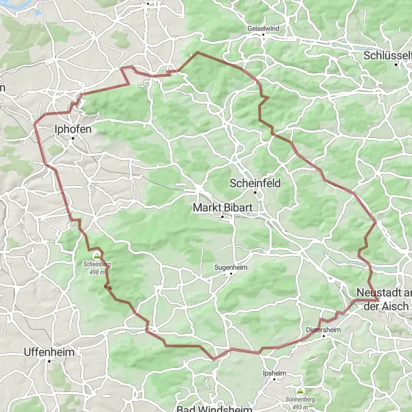
Embark on this gravel cycling adventure that takes you through picturesque landscapes and ancient ruins. With a total distance of 98km and an elevation gain of 1113m, this route provides a challenging yet rewarding experience. Suitable for experienced amateur cyclists, this route offers a glimpse into the region's history and natural beauty. Explore highlights such as the Schiller monument, the charming village of Wiesenbronn, and the scenic Prühler Berg. With a difficulty rating of 3 and an epicness score of 4, this route is perfect for cyclists seeking both a physical challenge and cultural enrichment.
gravel
98 km
1113 m
Tough
Route profile
Highlights on the route
0 km
0 km
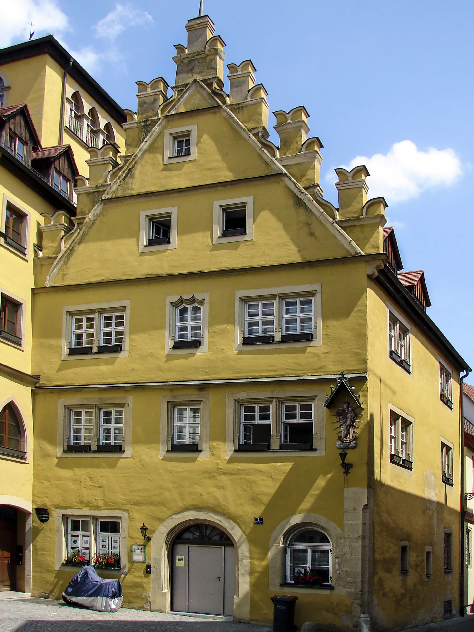
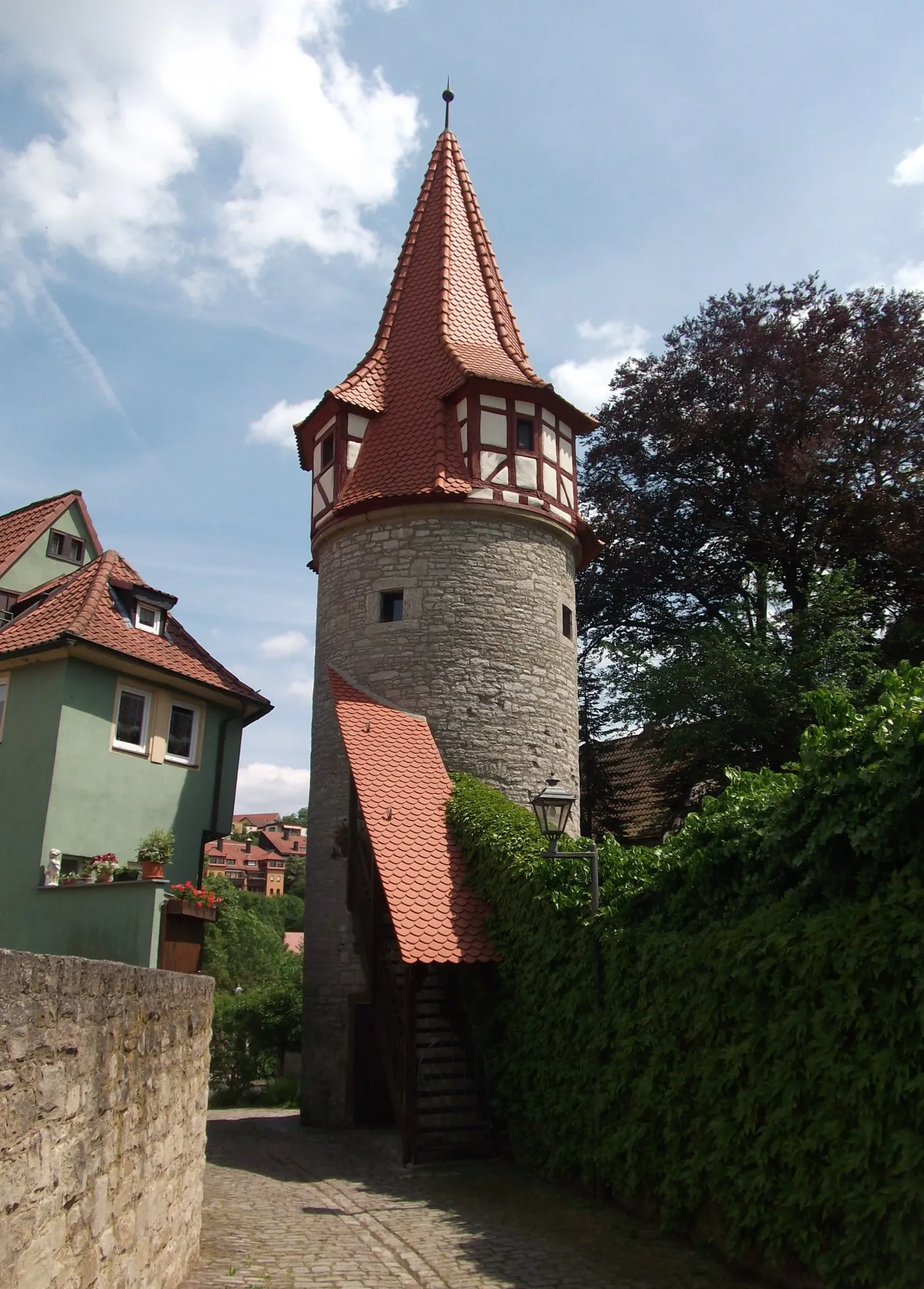
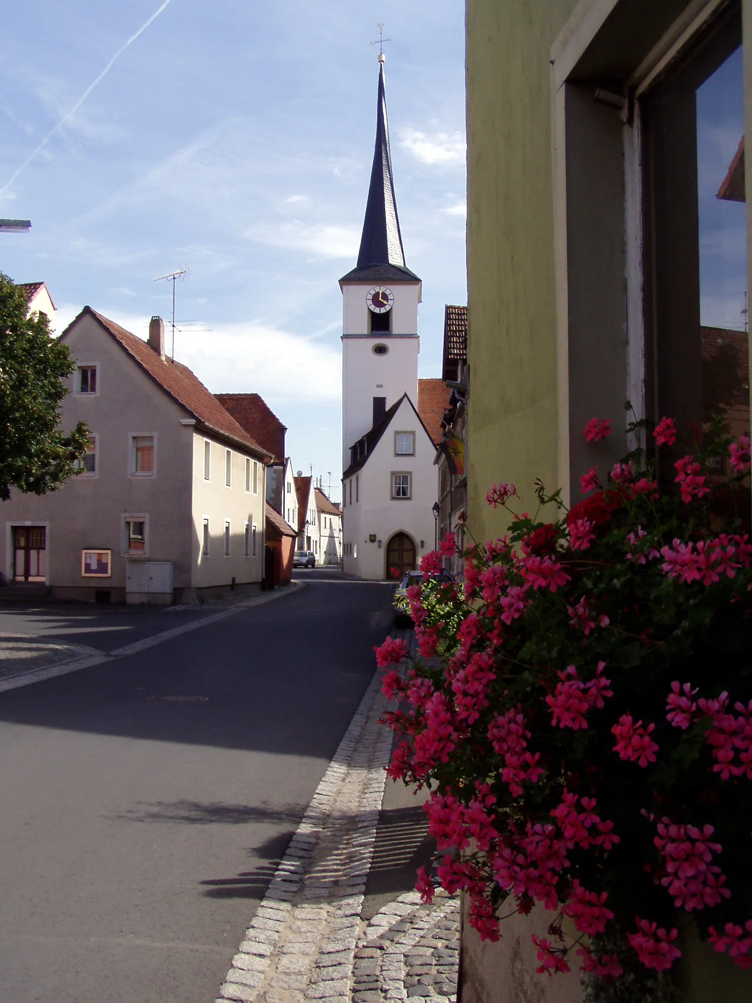
Start: Mainbernheim City centerMainbernheim: Discover the world of Franconian wine while cycling through charming Mainbernheim.
Mainbernheim is a small town located in the Unterfranken region of Germany. Being in the heart of the Franconian wine region, it offers scenic cycling routes amidst picturesque vineyards and charming villages. Road cyclists can enjoy undulating terrain with designated bike lanes, while gravel cyclists can explore various trails. The town itself is steeped in historic charm, with well-preserved medieval buildings and a lively town center. Nearby, cyclists can visit the famous Frankenwein wine-growing area or take on the challenge of the notorious Hell Valley climb in the Steigerwald nature reserve.11 km
11 km
Schiller290 mPeakSchiller Monument is a must-visit along the route, showcasing the celebrated German poet's legacy.
11 km
11 km
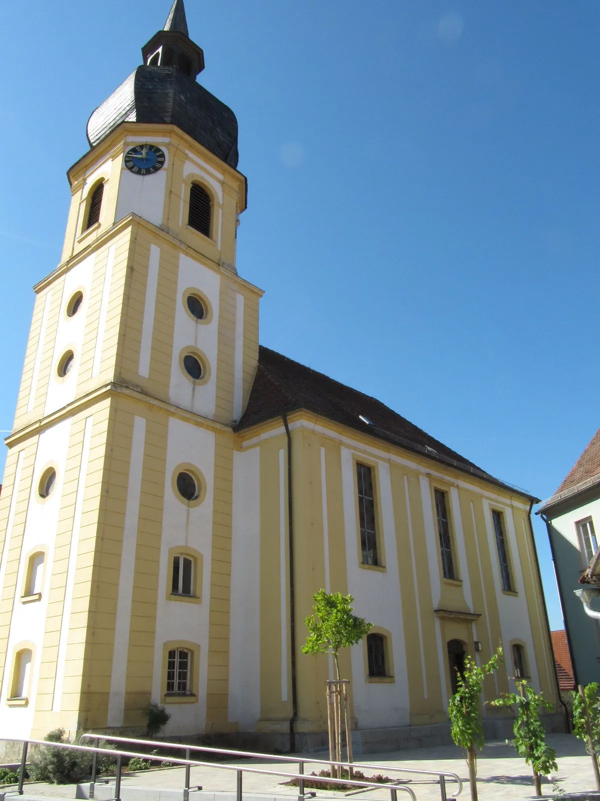
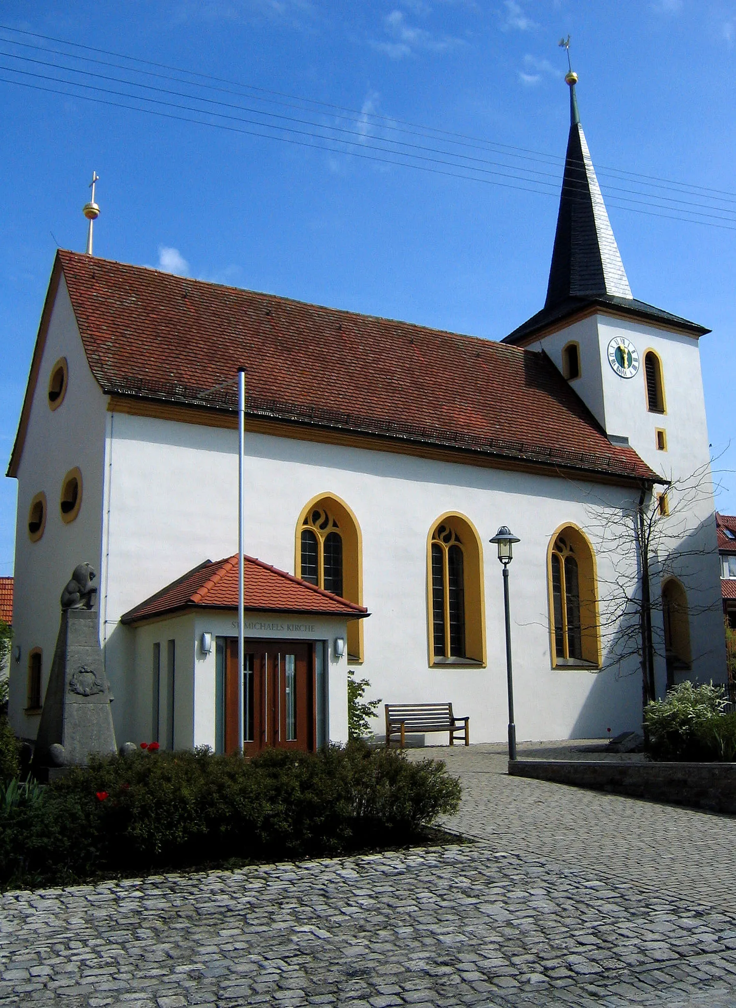
WiesenbronnVillageWander through the charming village of Wiesenbronn, known for its winemaking traditions.
26 km
26 km
Prühler Berg436 mPeakConquer the Prühler Berg, a challenging climb that offers magnificent panoramic views.
51 km
51 km
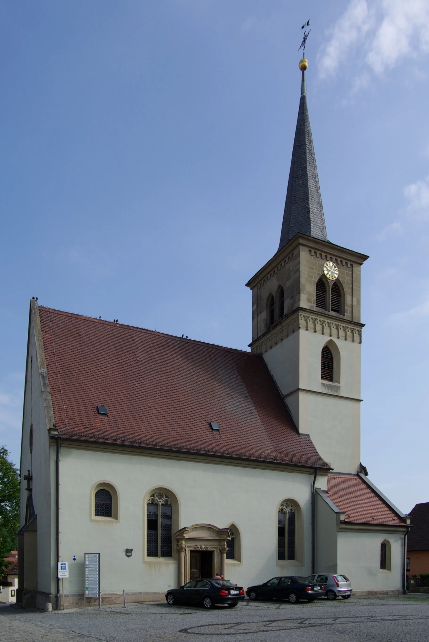
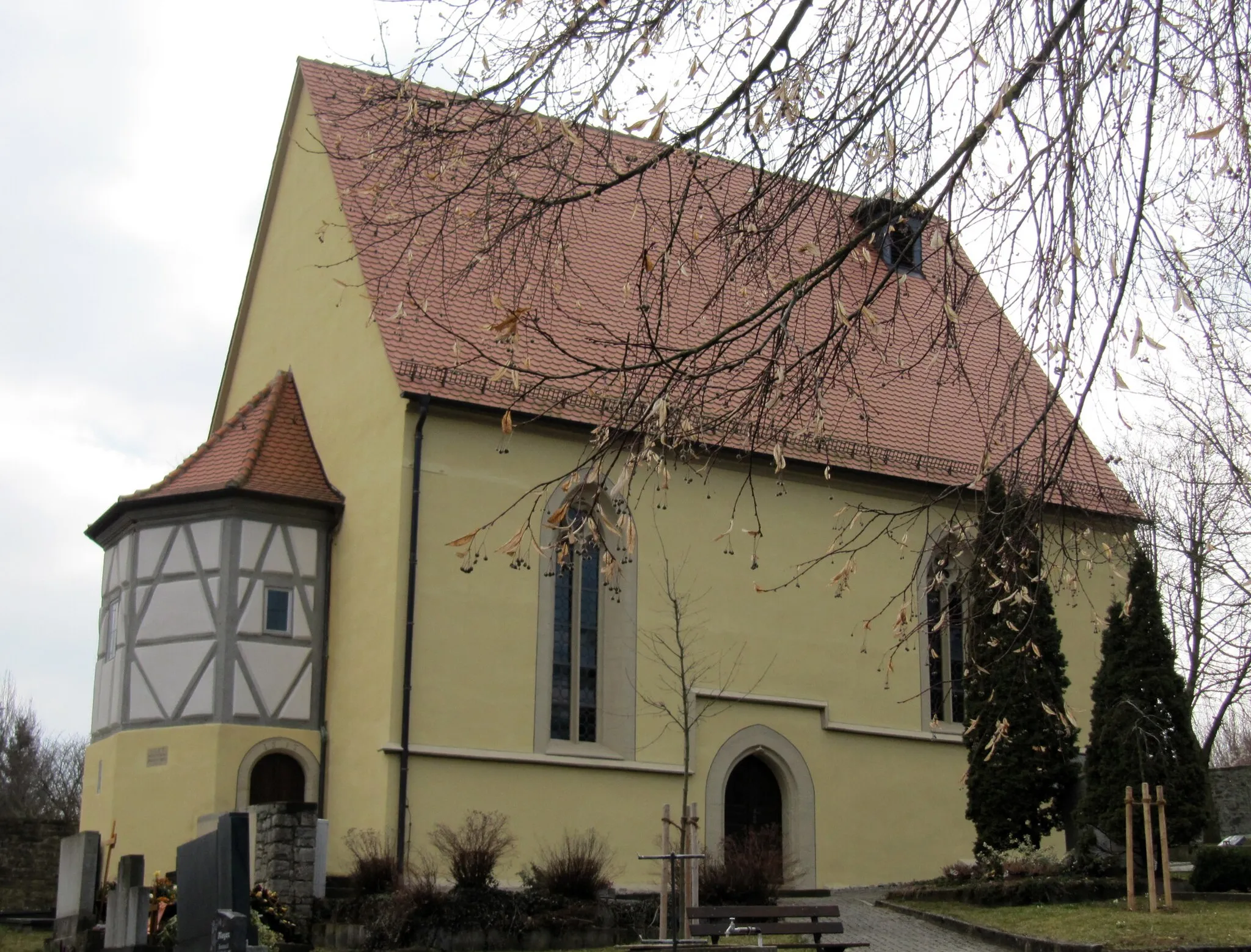
Neustadt an der AischTownExplore the historic town of Neustadt an der Aisch, home to beautiful architecture and cultural landmarks.
63 km
63 km
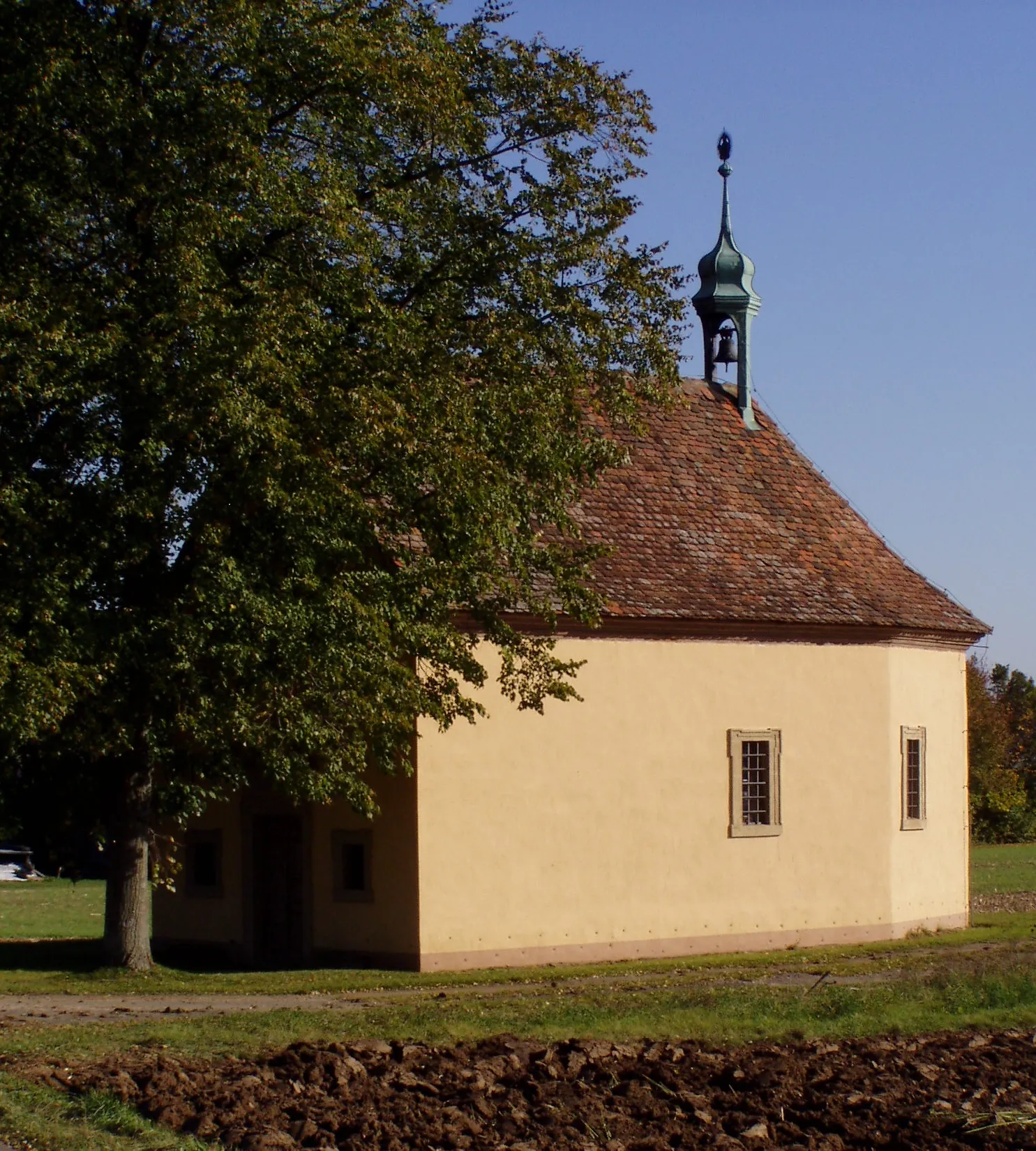
KaubenheimSub-urbPass through the quaint village of Kaubenheim, surrounded by idyllic countryside.
69 km
69 km
Rosenberg359 mPeakVisit the charming village of Rosenberg, known for its picturesque streets and welcoming atmosphere.
81 km
81 km
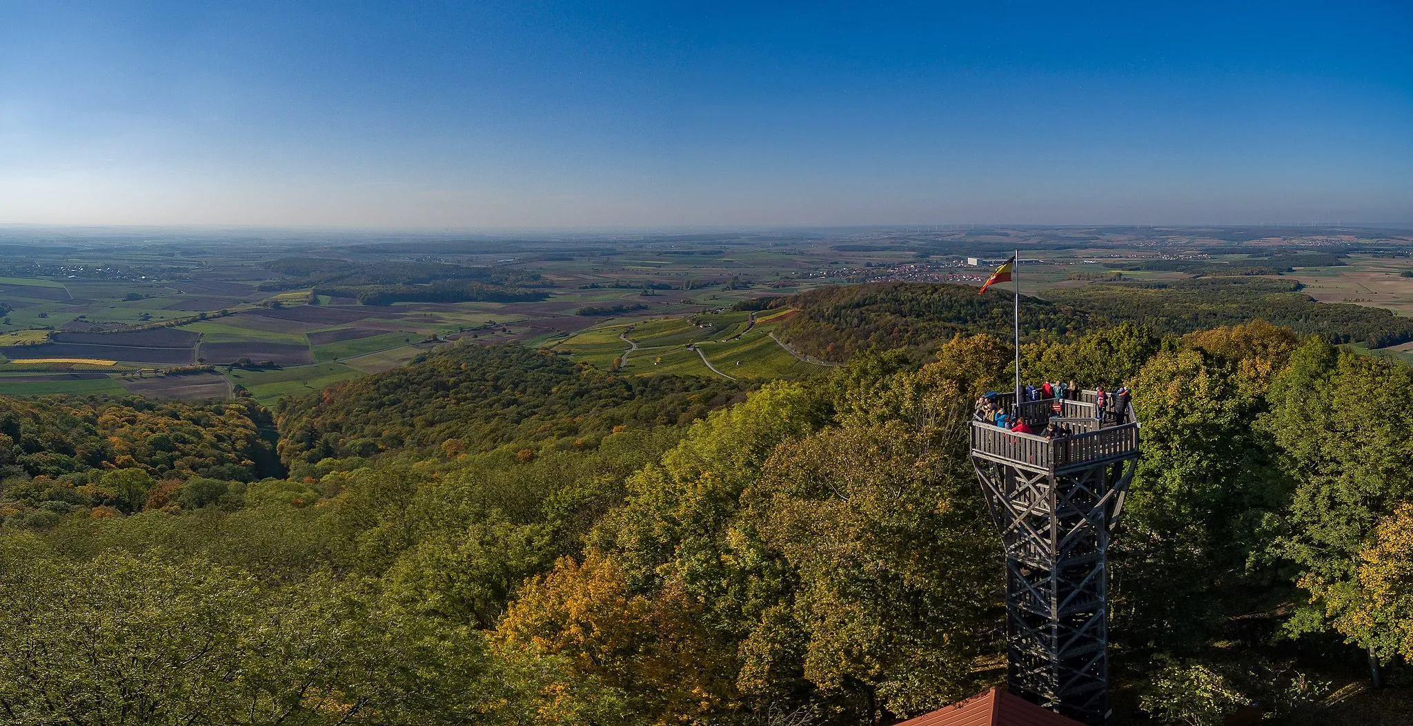
Hoher Landsberg498 mPeakClimb the Hoher Landsberg and be rewarded with breathtaking views of the surrounding countryside.
81 km
81 km
Burgruine HohenlandsbergCastleDiscover the Burgruine Hohenlandsberg, a fascinating medieval ruin in a picturesque setting.
88 km
88 km
Tannenberg382 mPeakVisit Tannenberg, a quaint village with historical buildings and beautiful natural surroundings.
98 km
98 km
MainbernheimTownFinish your ride in Mainbernheim, a charming town known for its Bavarian hospitality and stunning architecture.
98 km
98 km
Finish: Mainbernheim City centerMainbernheim: Discover the world of Franconian wine while cycling through charming Mainbernheim.
Cycling routes from Mainbernheim:
Mainbernheim to Martinsheim Round Trip Mainbernheim to Segnitz Gravel Adventure Mainbernheim to Kitzingen Road Challenge Mainbernheim Gravel Loop via Prühler Berg Mainbernheim Scenic Gravel Ride Mainbernheim - Marktbreit - Giebelstadt - Altertheim - Hübschenberg - Erlenbach bei Marktheidenfeld - Kohlplatte - Zellingen - Güntersleben - Kürnach - Aussichtspunkt Winterhafendamm - Kitzingen Mainbernheim Loop Unterfranken Adventure Mainbernheim Gravel Adventure Mystical Forests and Historic Villages Road to the Ruins Exploring Rural Landscapes Roads to Vineyards Cultural and Natural Delights
Cycling routes nearby: