Scenic gravel route around Bürgstadt
A gravel cycling route starting from Miltenberg
Discover the natural beauty surrounding Bürgstadt on this thrilling gravel route.
Map
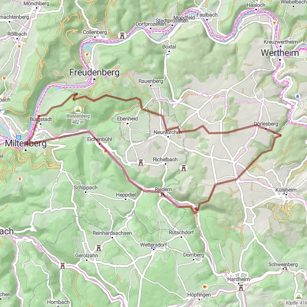
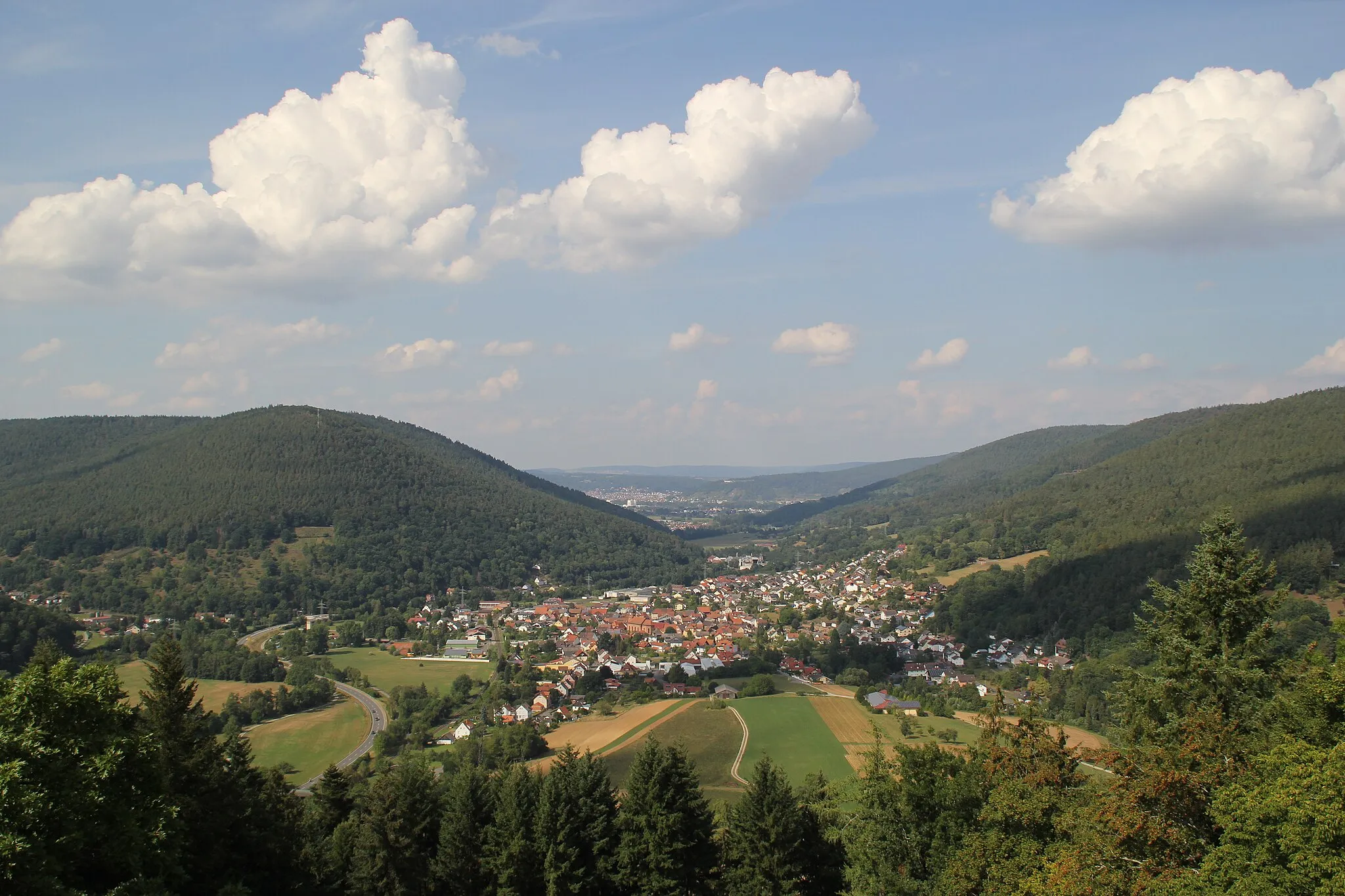
Embark on a 52-kilometer gravel adventure through the scenic landscapes surrounding Bürgstadt. With 837 meters of ascent, this route is suitable for experienced amateur cyclists looking for a moderate challenge. Highlights along the way include Bürgstädter Berg, Sonderriet, Dörlesberg, Gehackler, Eichenbühl, and Felsenmeer.
gravel
52 km
837 m
Tough
Route profile
Highlights on the route
0 km
0 km
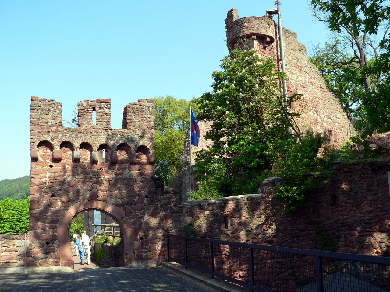
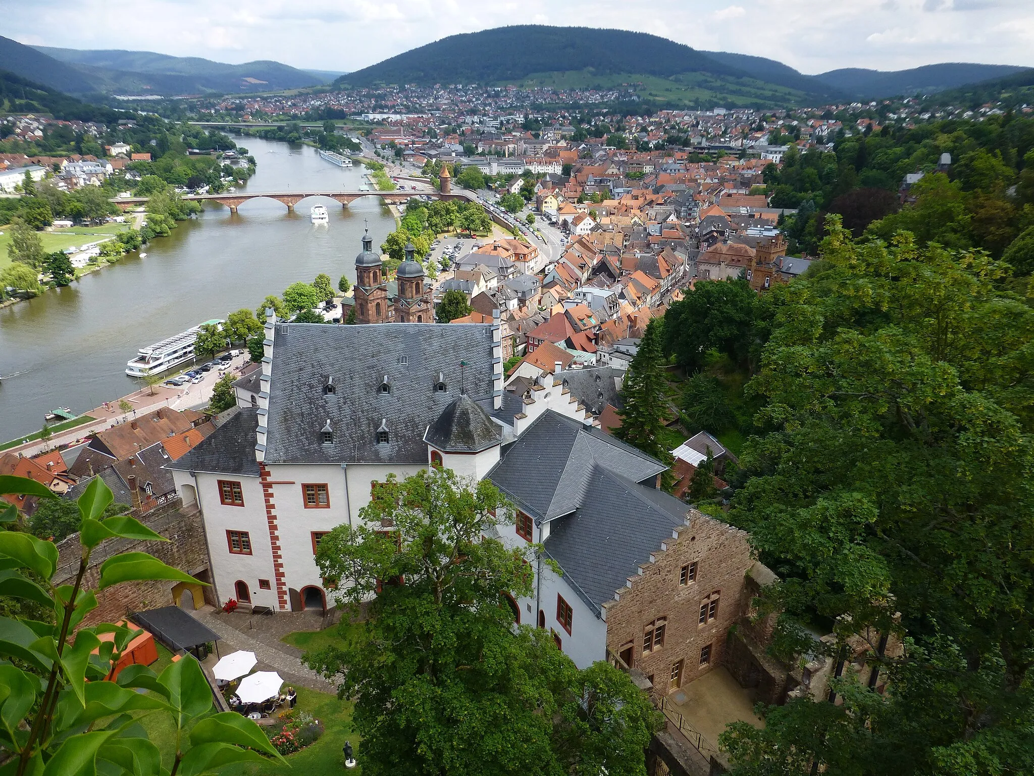
Start: Miltenberg City centerMiltenberg: Discover the magic of medieval streets and vineyards in Unterfranken
Miltenberg, situated in Unterfranken, Germany, offers a delightful cycling experience through its charming medieval streets and scenic routes along the Main River. The town's well-preserved medieval architecture provides a captivating backdrop for cyclists exploring Miltenberg's narrow alleys and historic landmarks. The Main River route offers a leisurely ride with stunning river views and the opportunity to stop at traditional Bavarian beer gardens. Cyclists can also venture into the surrounding Franconian countryside, known for its vineyards and idyllic rural landscapes. With its combination of historical charm and scenic cycling routes, Miltenberg is a perfect destination for cyclists looking for a unique cultural and natural experience.2 km
2 km
BürgstadtVillageLocated just 2 kilometers into the route, Bürgstadt is a charming town known for its historical buildings and vineyards.
4 km
4 km
Bürgstädter Berg463 mPeakBürgstädter Berg offers a scenic viewpoint over the picturesque rolling hills of the area.
19 km
19 km
SonderrietVillageSonderriet is a small village surrounded by vineyards and lush greenery, providing a peaceful and idyllic atmosphere.
24 km
24 km
DörlesbergVillageDörlesberg is a quiet farming community nestled in the heart of the Bürgstadt region.
38 km
38 km
Gehackler392 mPeakGehackler is a ridge offering stunning panoramic views of the surrounding landscapes.
46 km
46 km
EichenbühlVillageEichenbühl is a picturesque village known for its oak trees and traditional half-timbered houses.
52 km
52 km
FelsenmeerAttractionFelsenmeer is a natural rock formation that attracts hikers and climbers with its unique geological features.
52 km
52 km
Finish: Miltenberg City centerMiltenberg: Discover the magic of medieval streets and vineyards in Unterfranken
Cycling routes from Miltenberg:
Gravel route through Miltenberg and surroundings Scenic gravel route around Bürgstadt Exploring the hidden gems of Miltenberg Epic road journey through Miltenberg and beyond Miltenberg and Kirchzell scenic road tour Umpfenbach Loop Gottersdorf Sprint Gravel Adventures Hillside Adventure Magical Forest Ride Miltenberg Loop
Cycling routes nearby: