Baj - Gerecse - Sárási-kő - Tarján - Kopasz-hegy - Vértesszőlős
A gravel cycling route starting from Baj
Experience a mix of natural beauty and historical sites on this gravel route near Baj, Hungary.
Map
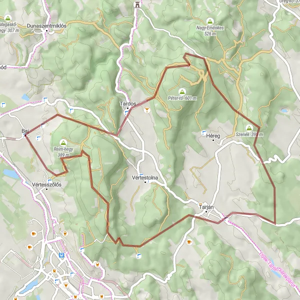
Take a 53 km gravel adventure starting near Baj and explore the enchanting regions of Gerecse, Sárási-kő, Tarján, Kopasz-hegy, and Vértesszőlős. With an ascent of 1,110 m, this route offers moderate difficulty suitable for intermediate cyclists. Immerse yourself in the breathtaking landscapes and uncover the historical past of the destinations you pass through.
gravel
53 km
1110 m
Tough
Route profile
Highlights on the route
0 km
0 km
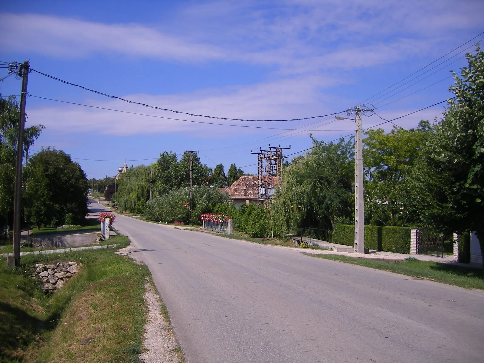
Start: Baj Village centerBaj: Idyllic cycling escapades in Baj, Hungary.
Baj, located in Hungary's Közép-Dunántúl region, offers picturesque routes for cyclists. The town is surrounded by enchanting landscapes, characterized by rolling hills and scenic countryside roads. While Baj may not be recognized for famous cycling-related spots or renowned climbs, it provides a serene environment for cycling enthusiasts to enjoy their rides. With its peaceful atmosphere and charming scenery, Baj is a wonderful destination for leisurely bike rides amidst nature's beauty.0 km
0 km
BajVillageStart in the historic town of Baj and admire its old-world charm.
13 km
13 km
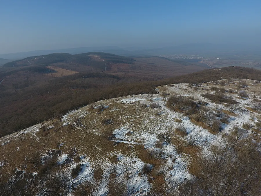
Gerecse634 mPeakCycle through the scenic Gerecse region and enjoy the sense of solitude.
21 km
21 km
Sárási-kő315 mPeakCatch stunning views of the surrounding landscape from Sárási-kő.
32 km
32 km
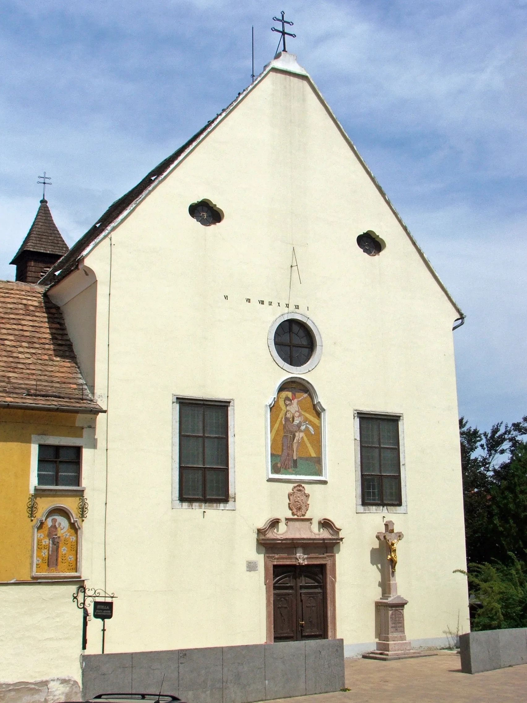
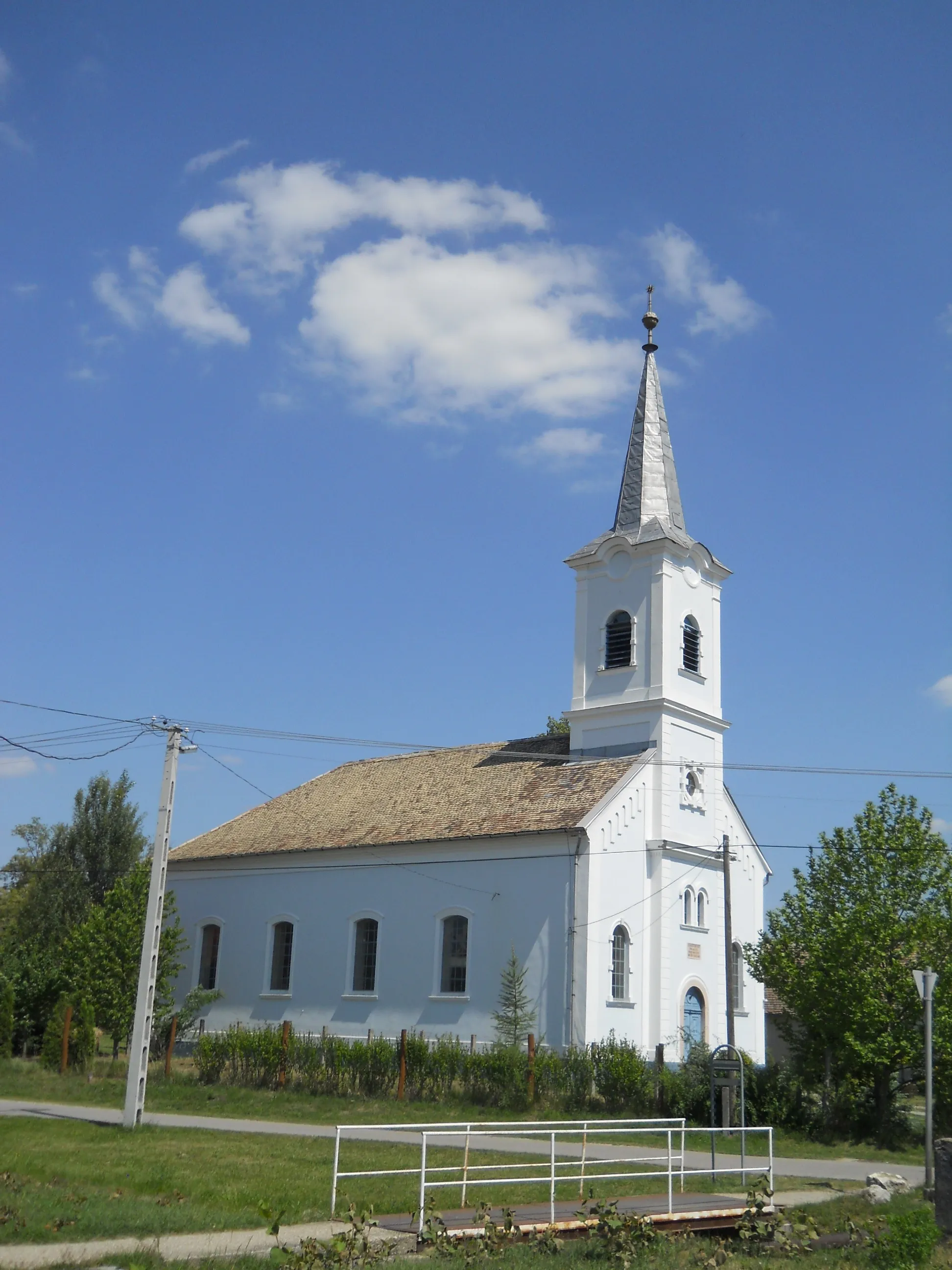
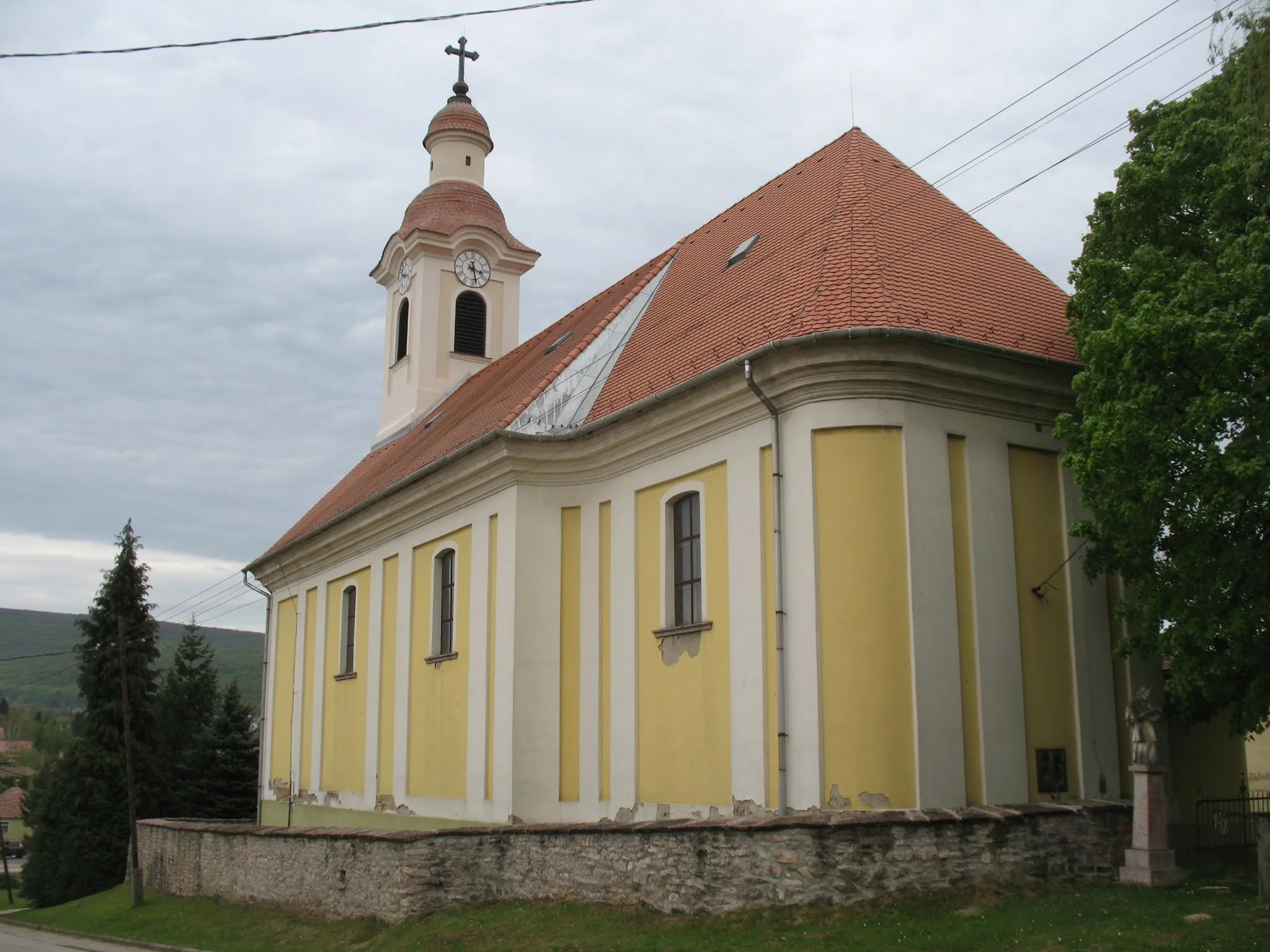
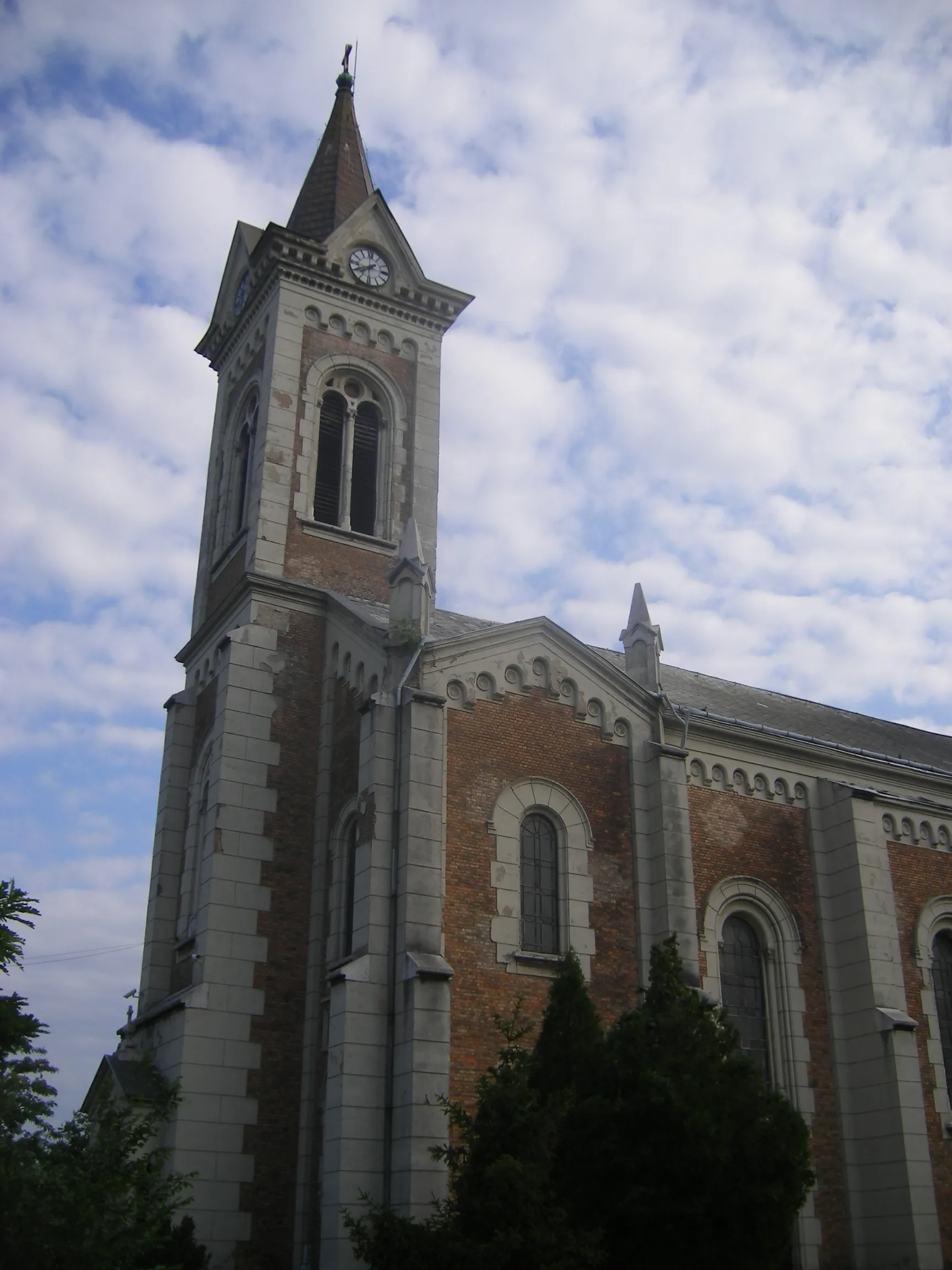
TarjánVillageExplore the historical town of Tarján and its architectural wonders.
39 km
39 km
Kopasz-hegy315 mPeakVisit Kopasz-hegy and take in captivating views of the landscape.
50 km
50 km
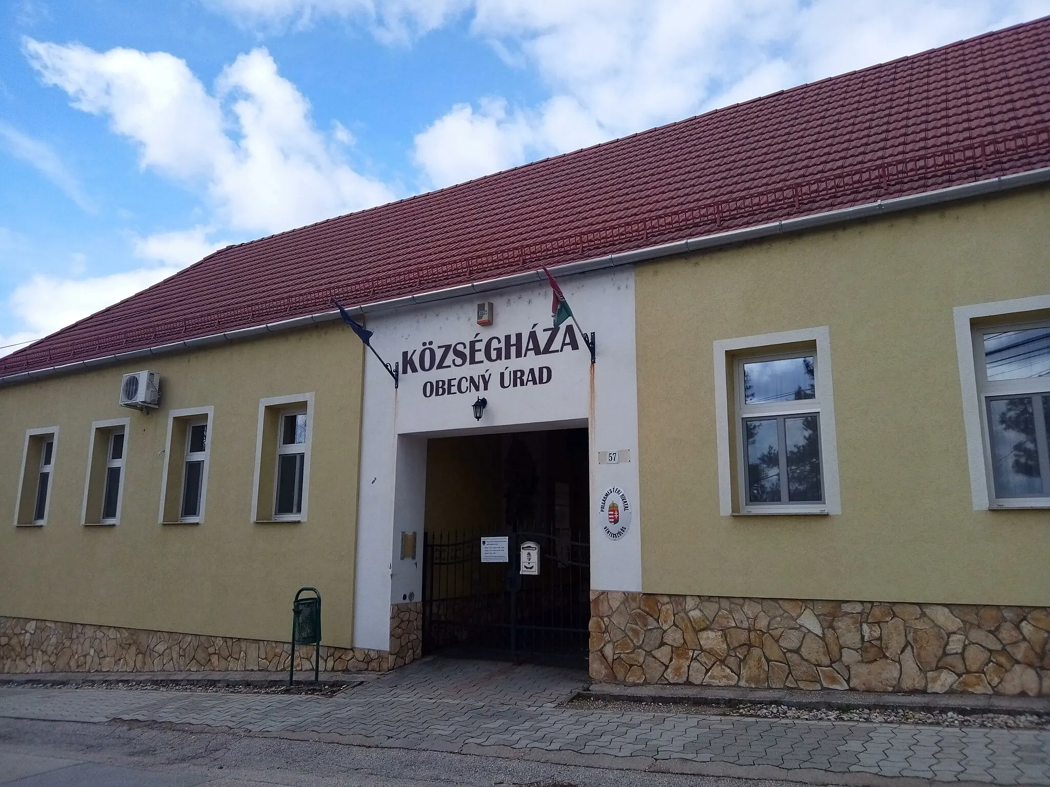
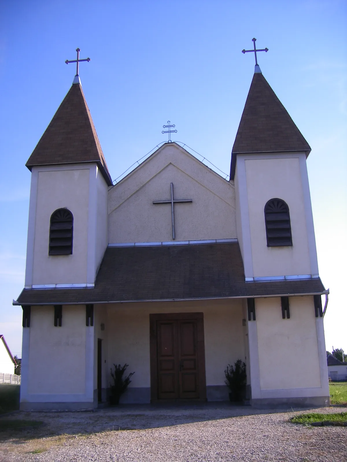
VértesszőlősVillageDiscover the archaeological site and rich history of Vértesszőlős.
53 km
53 km
Finish: Baj Village centerBaj: Idyllic cycling escapades in Baj, Hungary.
Cycling routes from Baj:
The Gravel Adventure Road Explorer The Ultimate Baj Challenge Scenic Vértes Tata and Beyond Baj - Csonkás-hegy - Sárási-kő - Tarján - Kappan-bükk - Kereszt-hát - Vértesszőlős Baj - Tardos - Gerecse - Sárási-kő - Tarján - Vértesszőlős - Sánc-hegy Baj - Gerecse - Sárási-kő - Tarján - Kopasz-hegy - Vértesszőlős Baj - Tata - Kálvária domb - Esterházy-kúria - Les-hegy Baj - Tardos - Csonkás-hegy - Szépkilátás - Bajna - Ördög-hegy - Úny - Kilátás a szőlődombokra - Telki - Biatorbágy - Bicske - Dobogó - Tatabánya - Terrace - Sánc-hegy - Tóvároskert waiting room Road Cycling Route: Through the Hills of Közép-Dunántúl Road Cycling Route: Hills and Valleys of Közép-Dunántúl Road Cycling Route: Exploring Közép-Dunántúl's Hidden Gems
Cycling routes nearby: