Road Cycling Route: Hills and Valleys of Közép-Dunántúl
A road cycling route starting from Baj
Embark on a thrilling cycling adventure through the hills and valleys of Közép-Dunántúl.
Map
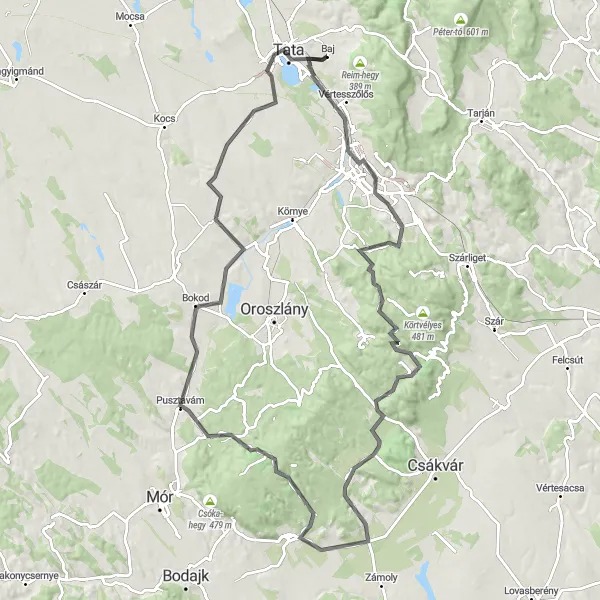
This road cycling route offers an exhilarating journey through the hills and valleys of Közép-Dunántúl. With a total ascent of 985 meters over a distance of 105 kilometers, this route challenges intermediate cyclists with rewarding views and varied terrains. Along the way, you'll encounter highlights such as Sánc-hegy, Tatabánya, Széna-hegy, Gánt, Bagoly-hegy, Márkus-hegy, Pusztavám, Kálvária domb, and Baj. These attractions showcase both natural and man-made wonders, providing a mix of adventurous and cultural experiences for cyclists.
road
105 km
985 m
Tough
Route profile
Highlights on the route
0 km
0 km
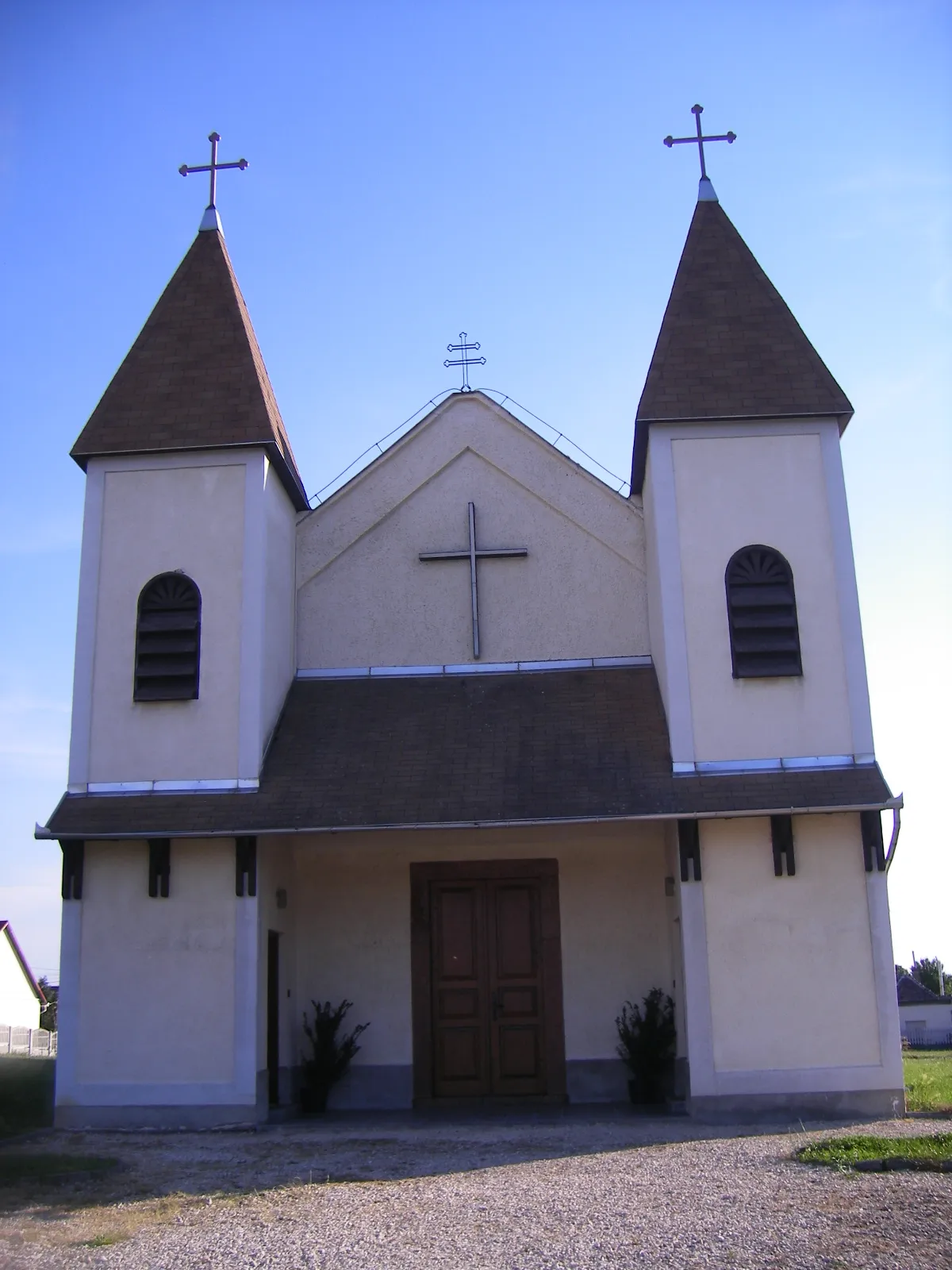
Start: Baj Village centerBaj: Idyllic cycling escapades in Baj, Hungary.
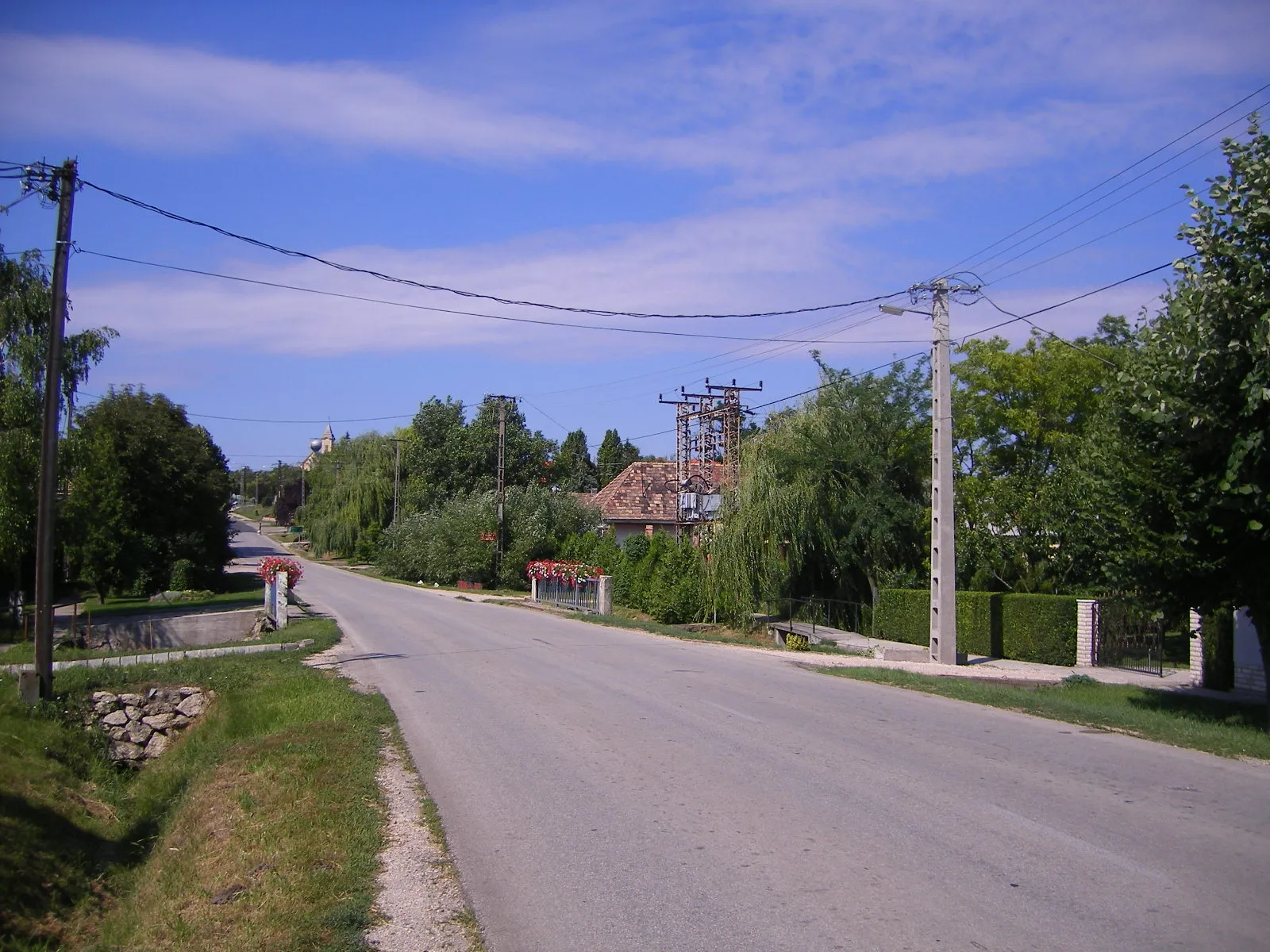
Baj, located in Hungary's Közép-Dunántúl region, offers picturesque routes for cyclists. The town is surrounded by enchanting landscapes, characterized by rolling hills and scenic countryside roads. While Baj may not be recognized for famous cycling-related spots or renowned climbs, it provides a serene environment for cycling enthusiasts to enjoy their rides. With its peaceful atmosphere and charming scenery, Baj is a wonderful destination for leisurely bike rides amidst nature's beauty.3 km
3 km
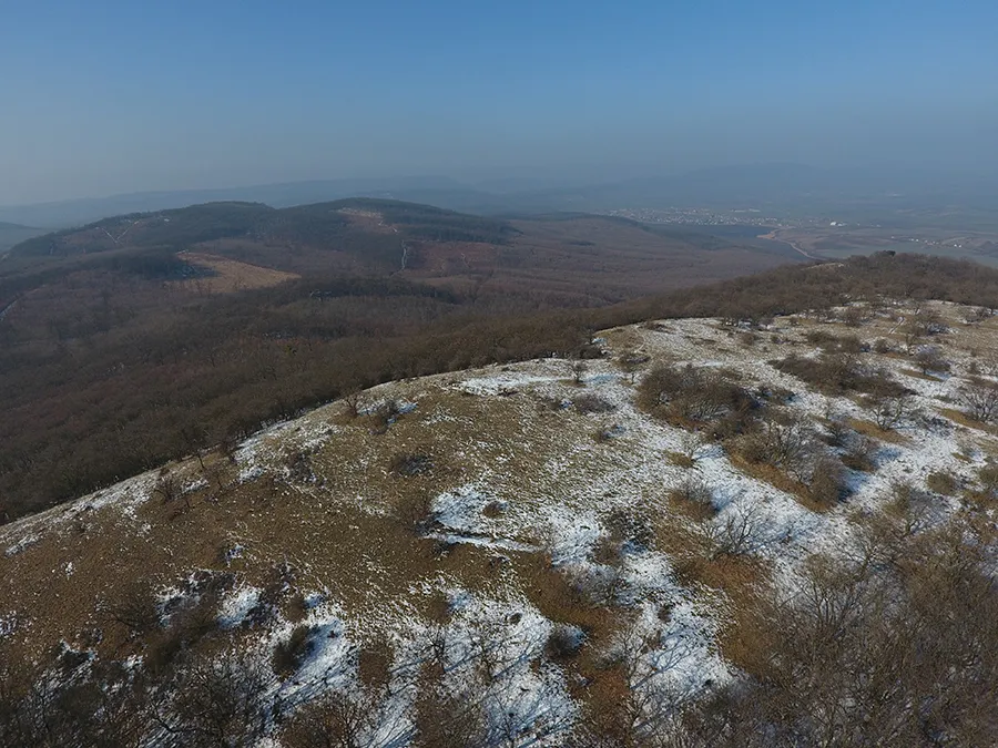
Sánc-hegy160 mPeakGet a bird's eye view of Közép-Dunántúl from Sánc-hegy, a popular viewpoint among cyclists.
10 km
10 km
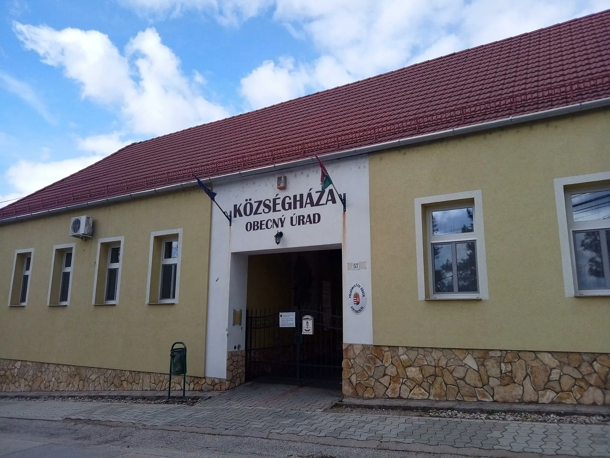
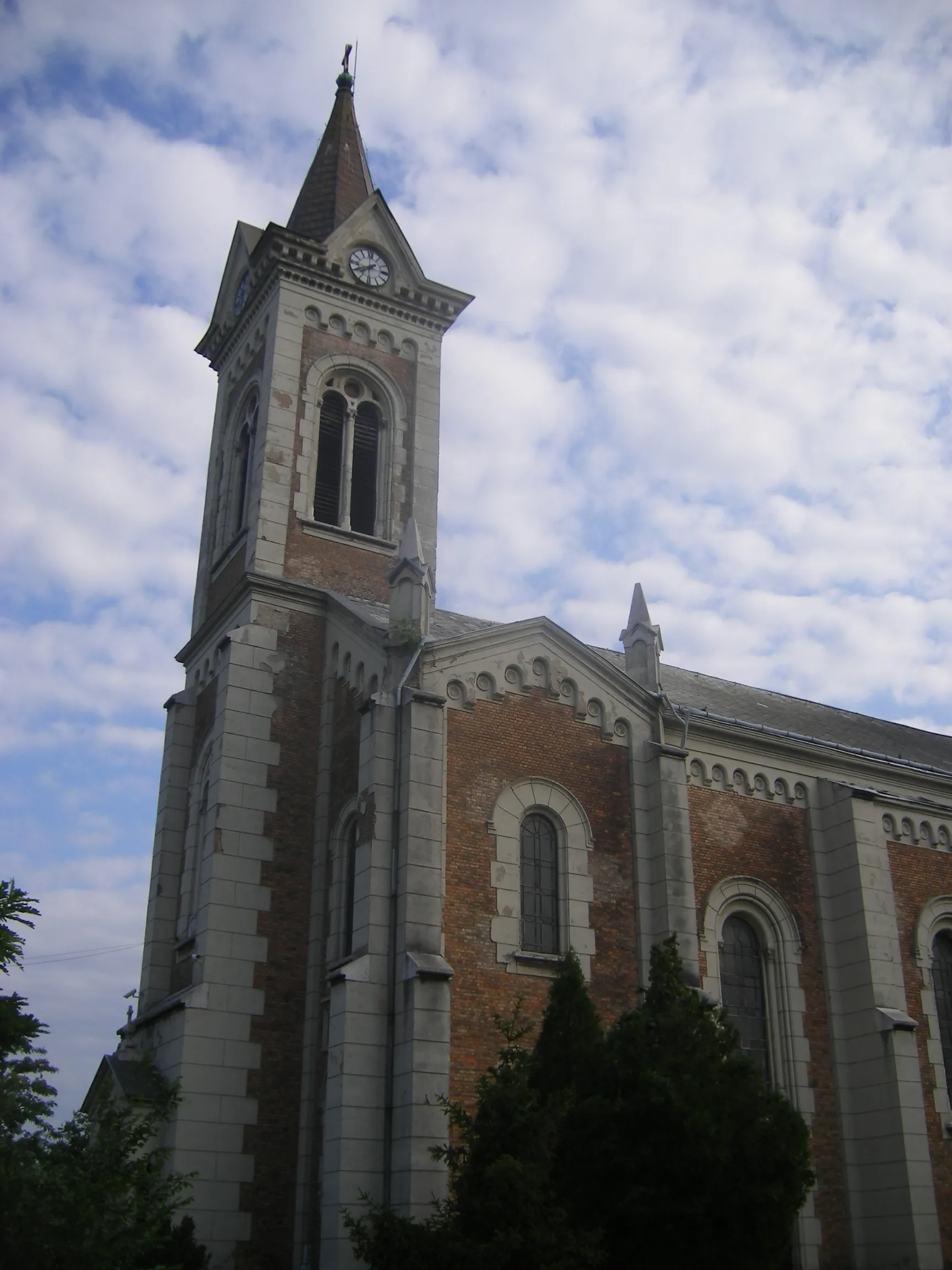
TatabányaCityExplore Tatabánya, a vibrant city known for its industrial heritage and modern architecture.
29 km
29 km
Széna-hegy401 mPeakMarvel at the beauty of Széna-hegy, a scenic spot offering panoramic views of the surrounding landscapes.
43 km
43 km
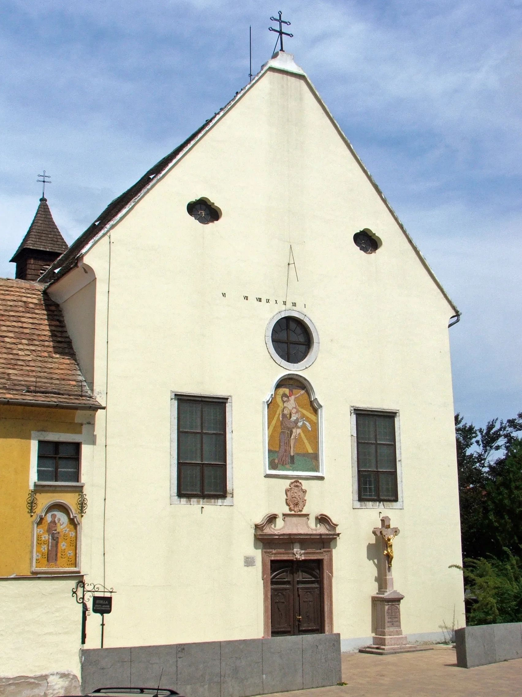
GántVillagePass through Gánt and admire its charming houses and tranquil countryside setting.
45 km
45 km
Bagoly-hegy261 mPeakDiscover Bagoly-hegy, a nature reserve with diverse flora and fauna, perfect for a refreshing break.
68 km
68 km
Márkus-hegy242 mPeakExperience the thrill of cycling through Márkus-hegy, an adrenaline-inducing ascent.
70 km
70 km
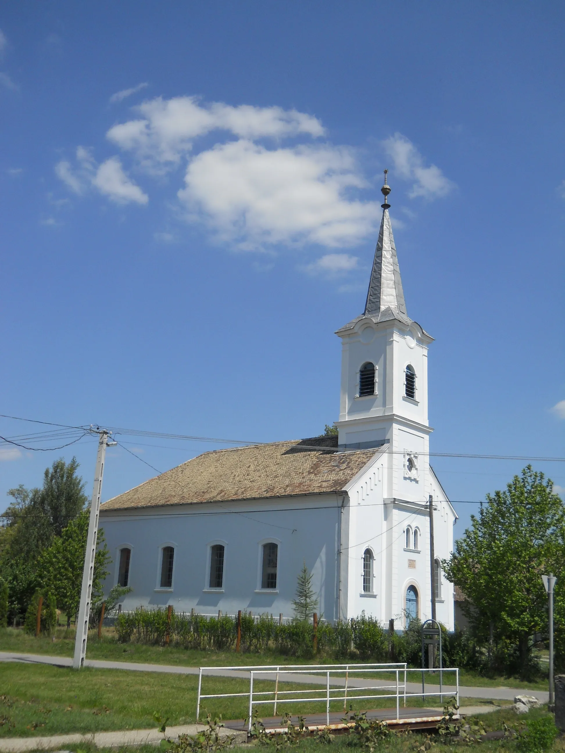
PusztavámVillageVisit Pusztavám, a historical village with fascinating folklore and traditional architecture.
99 km
99 km
Kálvária domb166 mPeakChallenge yourself to climb Kálvária domb and be rewarded with stunning views at the top.
105 km
105 km
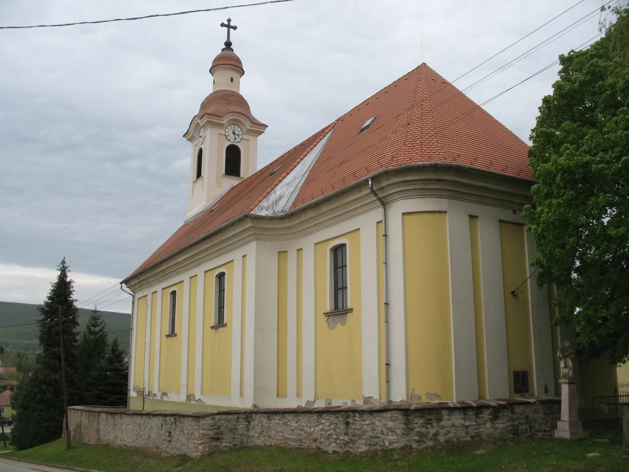
BajVillageConclude your journey in Baj, a lively town with a vibrant cultural scene and warm hospitality.
105 km
105 km
Finish: Baj Village centerBaj: Idyllic cycling escapades in Baj, Hungary.
Cycling routes from Baj:
The Gravel Adventure Road Explorer The Ultimate Baj Challenge Scenic Vértes Tata and Beyond Baj - Csonkás-hegy - Sárási-kő - Tarján - Kappan-bükk - Kereszt-hát - Vértesszőlős Baj - Tardos - Gerecse - Sárási-kő - Tarján - Vértesszőlős - Sánc-hegy Baj - Gerecse - Sárási-kő - Tarján - Kopasz-hegy - Vértesszőlős Baj - Tata - Kálvária domb - Esterházy-kúria - Les-hegy Baj - Tardos - Csonkás-hegy - Szépkilátás - Bajna - Ördög-hegy - Úny - Kilátás a szőlődombokra - Telki - Biatorbágy - Bicske - Dobogó - Tatabánya - Terrace - Sánc-hegy - Tóvároskert waiting room Road Cycling Route: Through the Hills of Közép-Dunántúl Road Cycling Route: Hills and Valleys of Közép-Dunántúl Road Cycling Route: Exploring Közép-Dunántúl's Hidden Gems
Cycling routes nearby: