Scenic Road Cycling Route near Vranov nad Topľou
A road cycling route starting from Vranov nad Toplou
Explore the scenic countryside and charming villages on this road cycling route near Vranov nad Topľou.
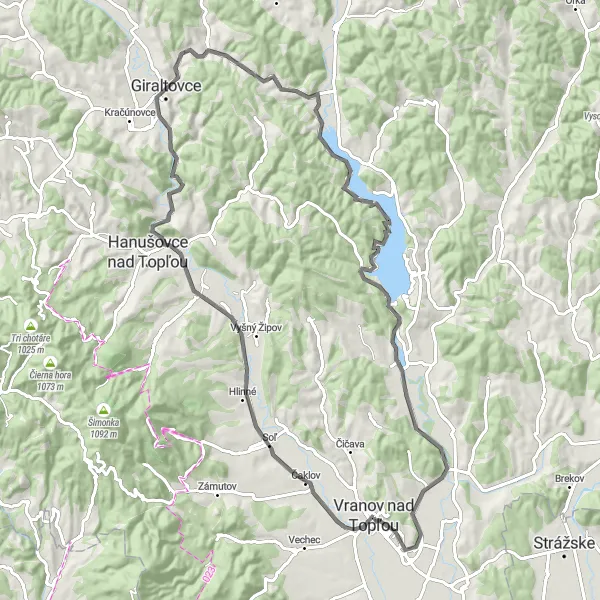
Map
Embark on a journey through picturesque landscapes, pass by beautiful villages, and climb rewarding peaks. This road cycling route offers a moderate challenge while providing ample opportunities to admire the natural beauty of the region and immerse yourself in its rich cultural heritage.
road
86 km
642 m
Tough
Route profile
Highlights on the route
0 km
0 km
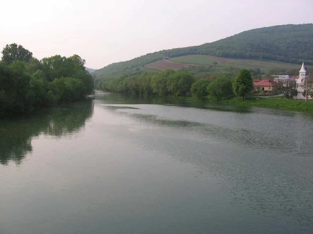
Start: Vranov nad Topľou City centerVranov nad Topľou: Diverse routes amidst lakes and forests.
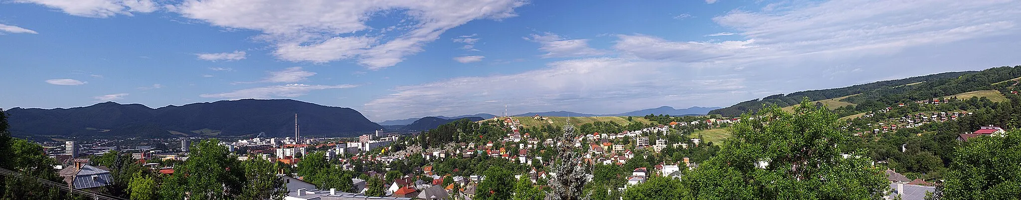
Vranov nad Topľou in Východné Slovensko, Slovakia, offers a diverse range of cycling routes suitable for both road and gravel cyclists. While there may not be any globally well-known cycling spots or legendary climbs, the locality is surrounded by beautiful nature, including lakes and forests, providing an exciting experience for cyclists. Exploring the area will lead to captivating landscapes and enjoyable routes for all levels of cyclists. With its diverse routes and natural beauty, Vranov nad Topľou is a breathtaking destination for cycling enthusiasts.8 km
8 km
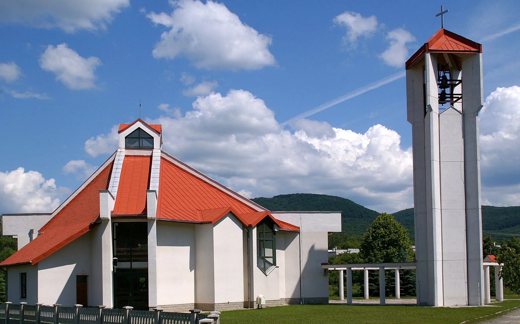
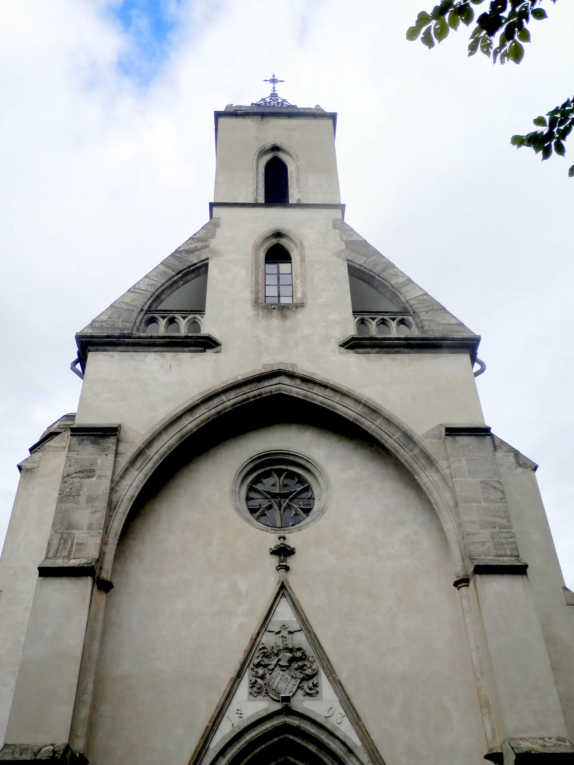
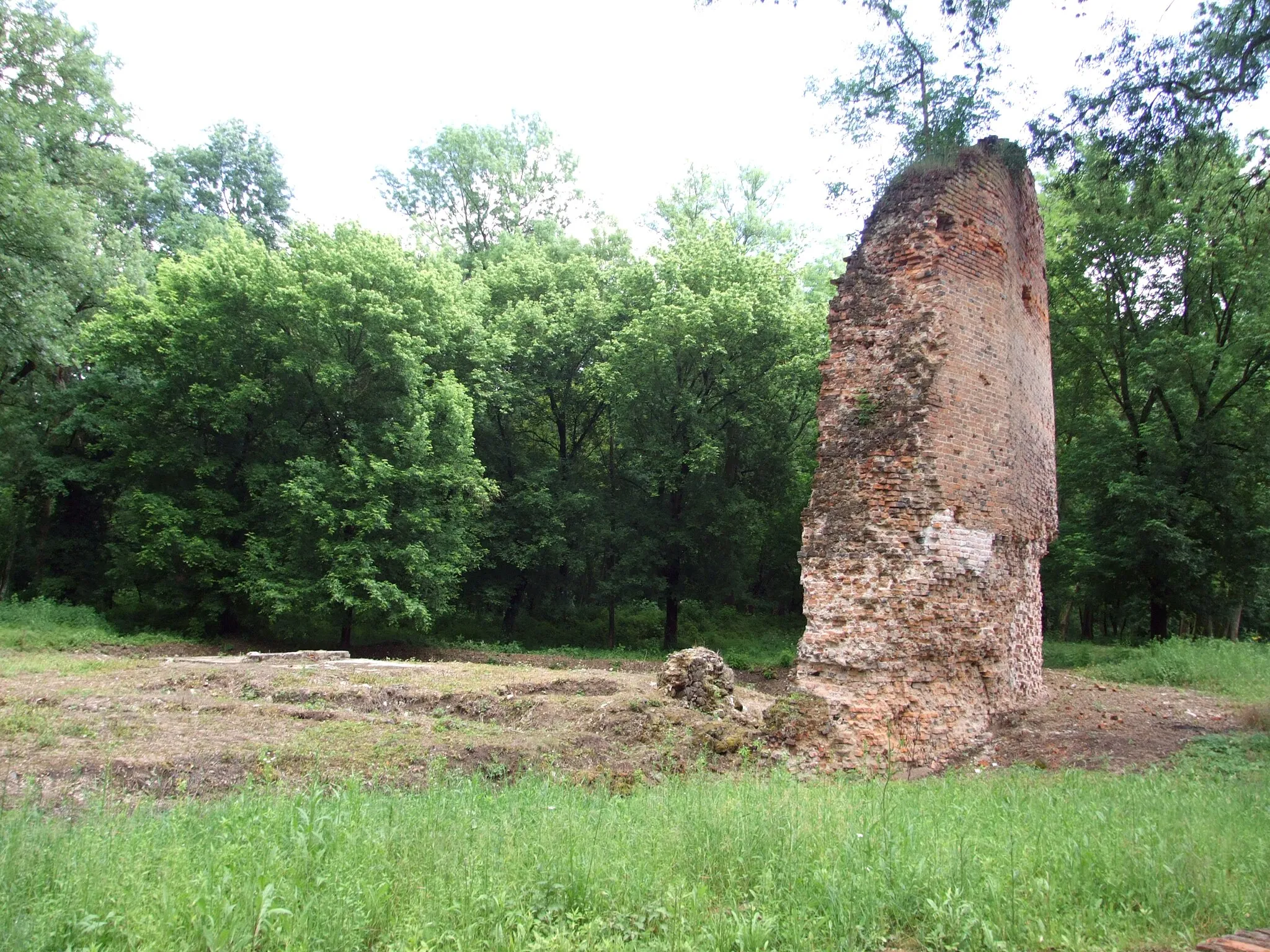
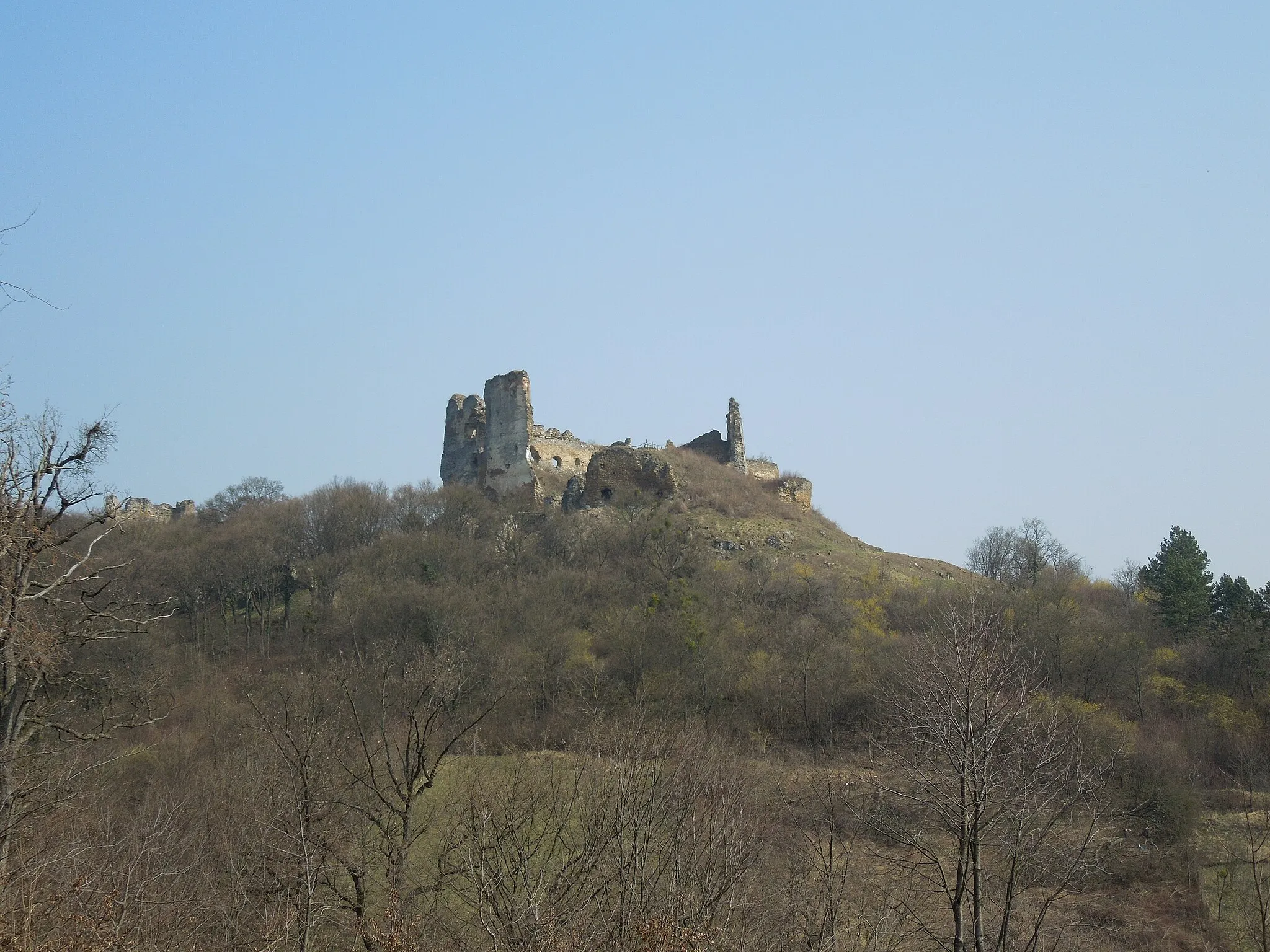
SoľVillageDiscover the hidden treasures of Soľ, a village with historical significance and stunning architecture.
46 km
46 km
Mláčky276 mPeakExperience the excitement of cycling through the picturesque trails of Mláčky.
68 km
68 km
Na horu194 mPeakChallenge yourself with the ascent to Na horu and revel in the panoramic views from the top.
70 km
70 km
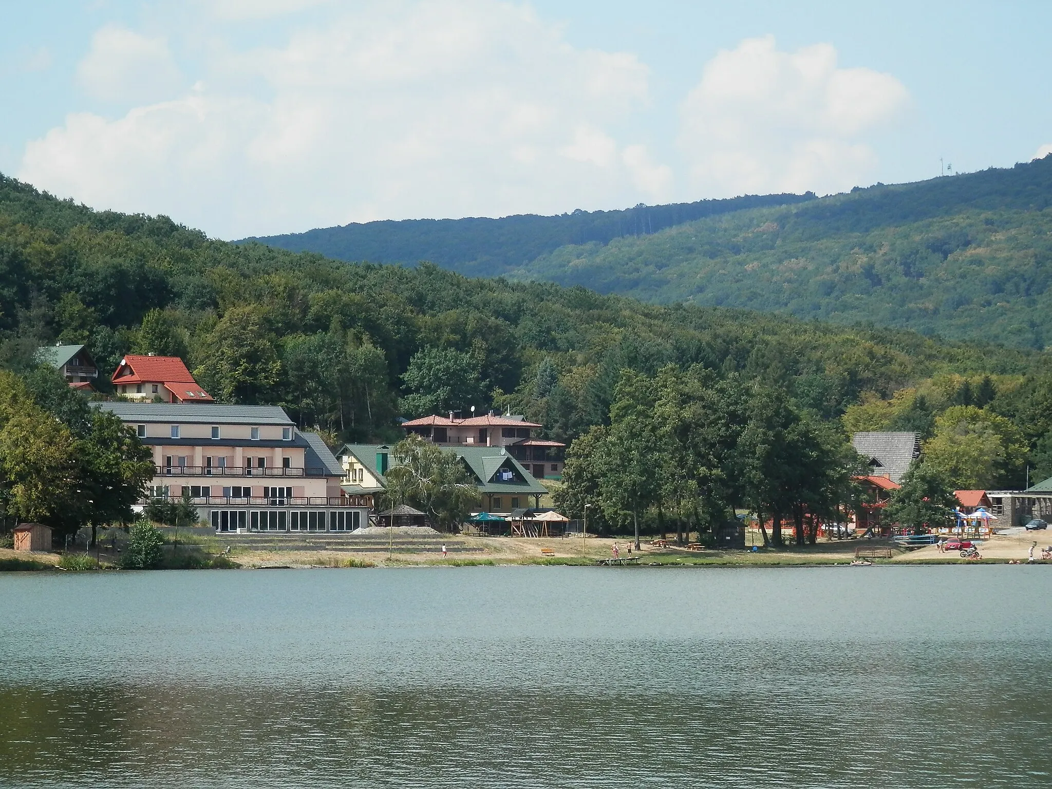
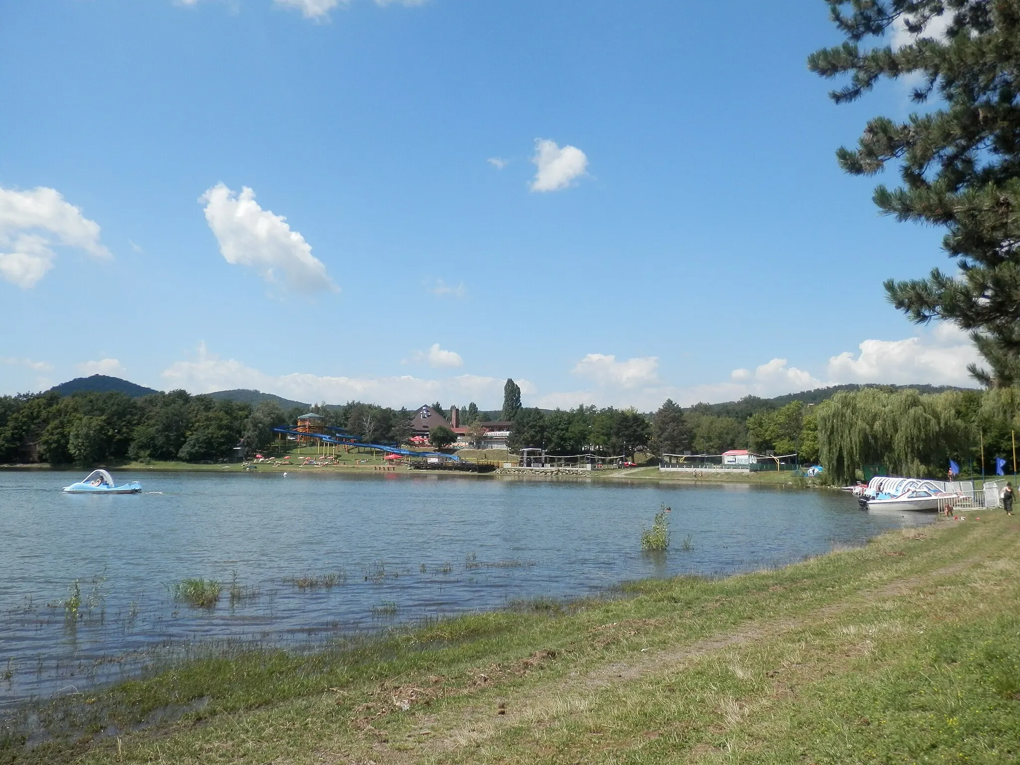
Malá DomašaVillageDiscover the beauty of Malá Domaša, a scenic reservoir surrounded by forests and hills.
78 km
78 km
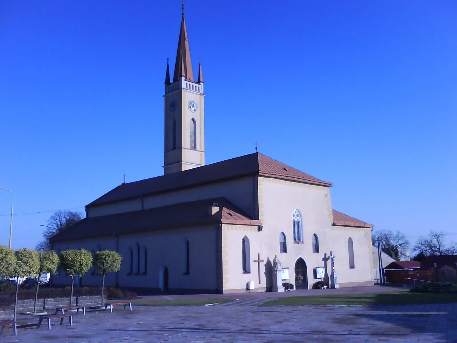
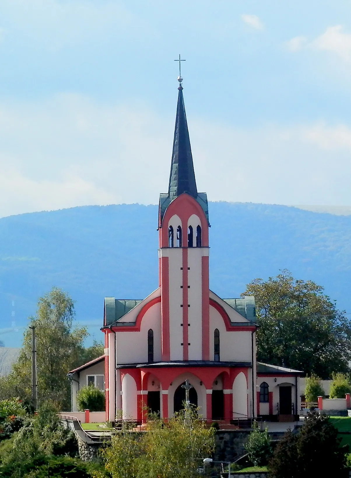
SedliskáVillagePass through the charming village of Sedliská and soak in the peaceful atmosphere.
86 km
86 km
Finish: Vranov nad Topľou City centerVranov nad Topľou: Diverse routes amidst lakes and forests.
Cycling routes from Vranov nad Toplou:
Short Gravel Ride: Nižný Hrušov and Kučín Vranov nad Topľou to Veľká Domaša Reservoir Biely vrch, Herlianske sedlo and Cham Cycling Route Gravel Adventure: Dlhé Klčovo and Červený kameň Vranov nad Topľou and Surroundings Gravel Tour through Eastern Slovakia Vranov nad Topľou to Červený kameň Castle Scenic Road Cycling Route near Vranov nad Topľou Gravel Adventure in Eastern Slovakia Road Cycling Tour around Vranov nad Topľou The Gravel Adventure
Cycling routes nearby: