Exploring the Nature Park
A gravel cycling route starting from Huetor-Tajar
Explore the beautiful landscapes of Huétor-Tájar's Nature Park on this gravel route.
Map

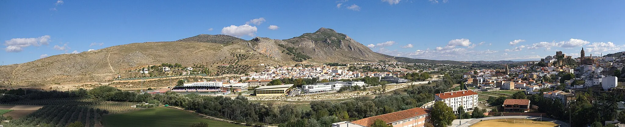
This gravel cycling route takes you through Huétor-Tájar's Nature Park, offering stunning views of the surrounding mountains and forests. With a total distance of 43 kilometers and an ascent of 916 meters, this circular route is perfect for nature enthusiasts and offers a chance to see the area's diverse flora and fauna.
gravel
43 km
916 m
Tough
Route profile
Highlights on the route
0 km
0 km
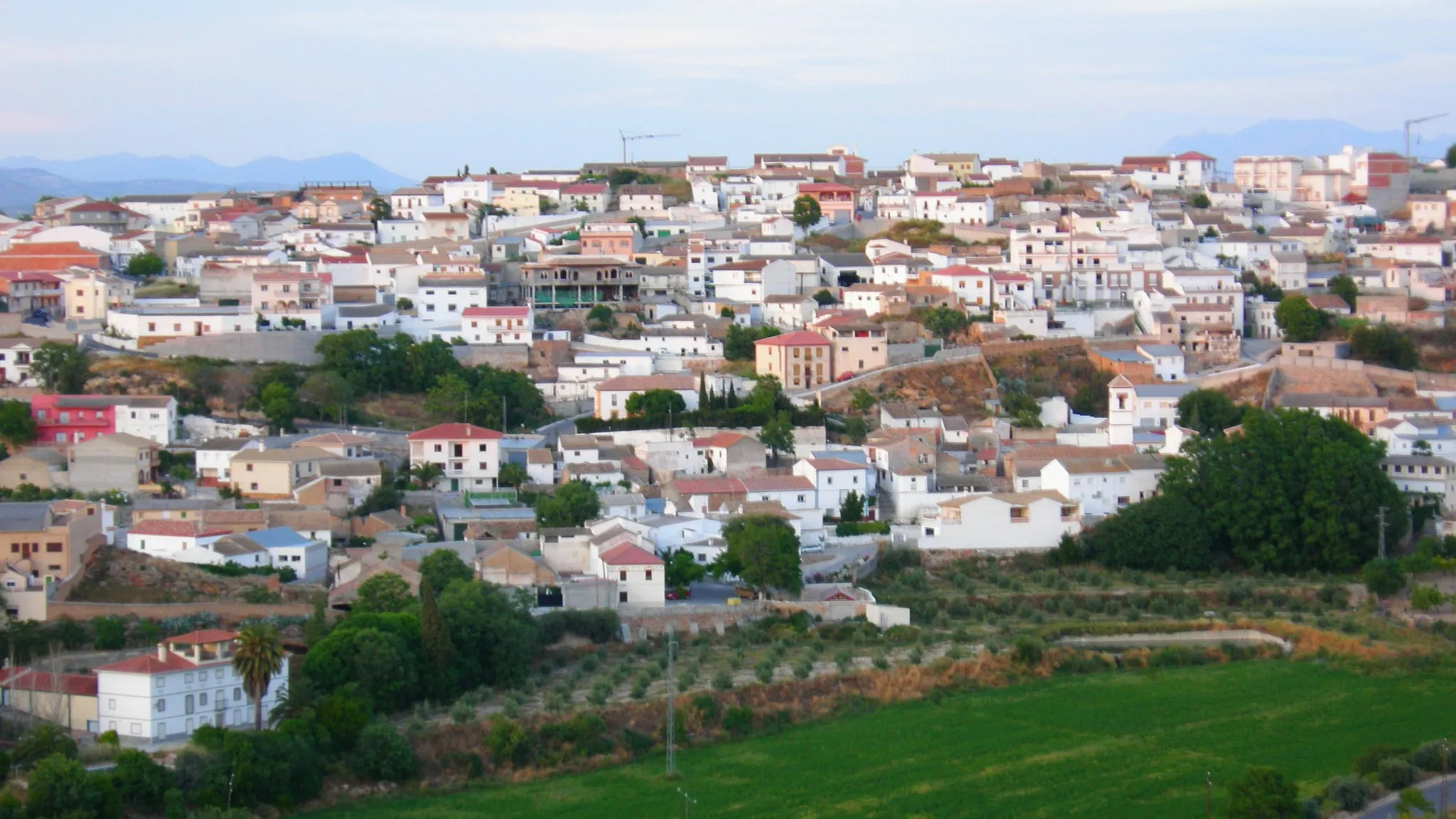
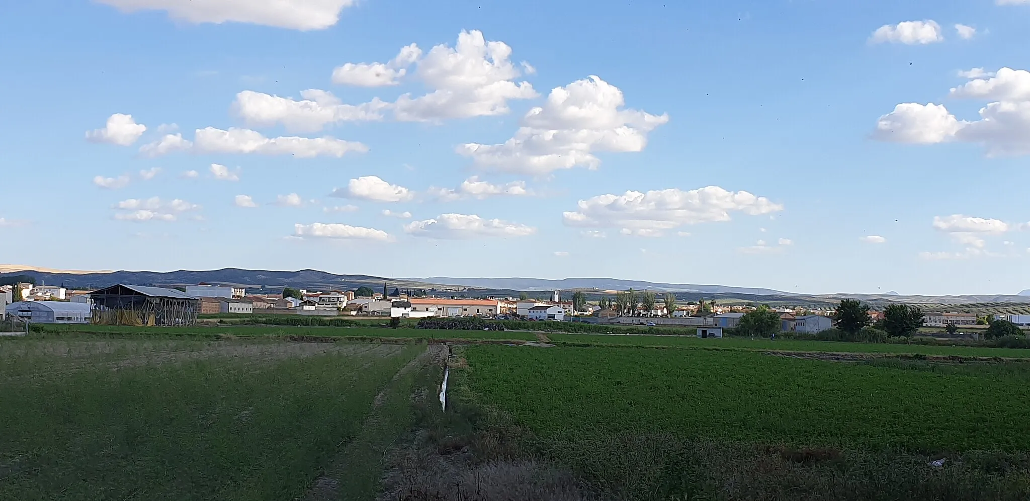
Start: Huétor Tájar City centerHuétor-Tájar: Embark on an unforgettable journey through Andalusia's captivating scenery while cycling in Huétor-Tájar.
Huétor-Tájar, situated in Andalucía, Spain, offers an excellent cycling experience in a beautiful setting. The area features scenic routes that wind through olive groves, vineyards, and rolling hills. Cyclists can enjoy the pleasant Mediterranean climate as they ride along well-paved roads. Huétor-Tájar itself is a picturesque town with traditional Andalusian architecture and vibrant cultural festivals. Nearby, cyclists can explore famous climbs in Sierra Nevada and discover stunning natural landscapes. With its inviting atmosphere and variety of cycling routes, Huétor-Tájar is a desired destination for cyclists in Spain.0 km
0 km
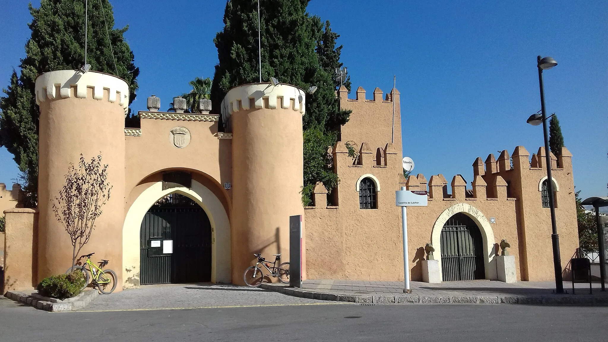
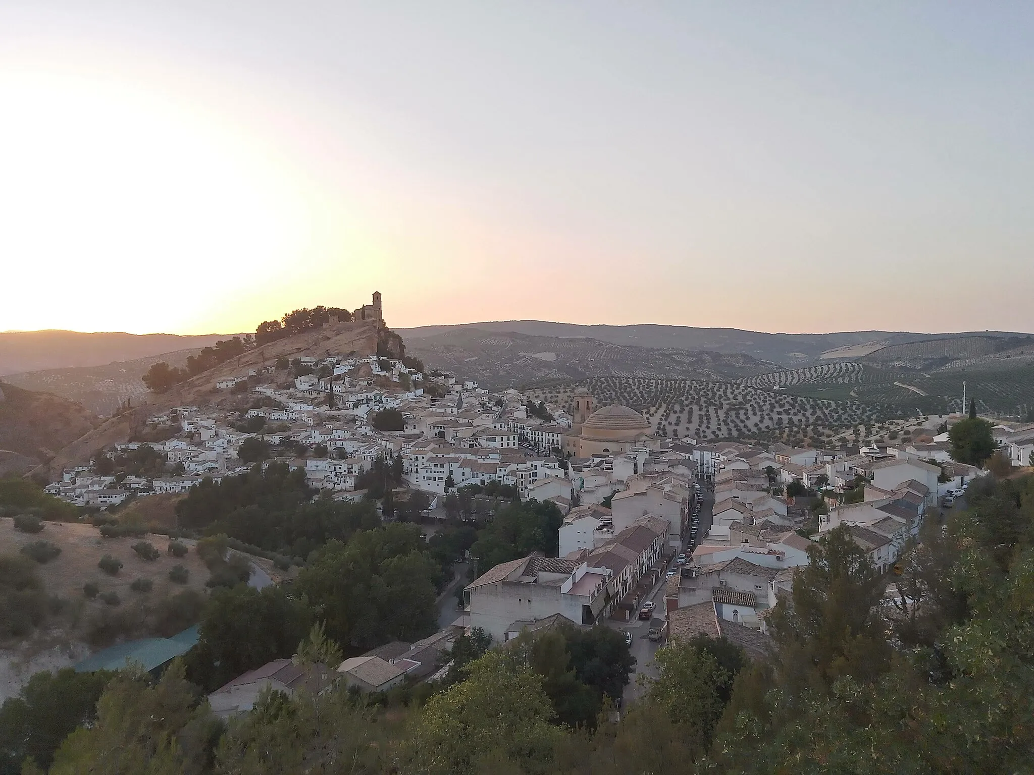
Torreón de HuétorCastleStart your ride at Torreón de Huétor and enjoy panoramic views of the Nature Park and the surrounding landscapes.
10 km
10 km
Cerrajón1164 mPeakClimb up to Cerrajón and be rewarded with stunning views of the mountain peaks and valleys below.
17 km
17 km
National Geographic ViewpointViewpointVisit the National Geographic Viewpoint and take in the breathtaking vistas of the Nature Park and the Sierra Nevada mountains.
18 km
18 km
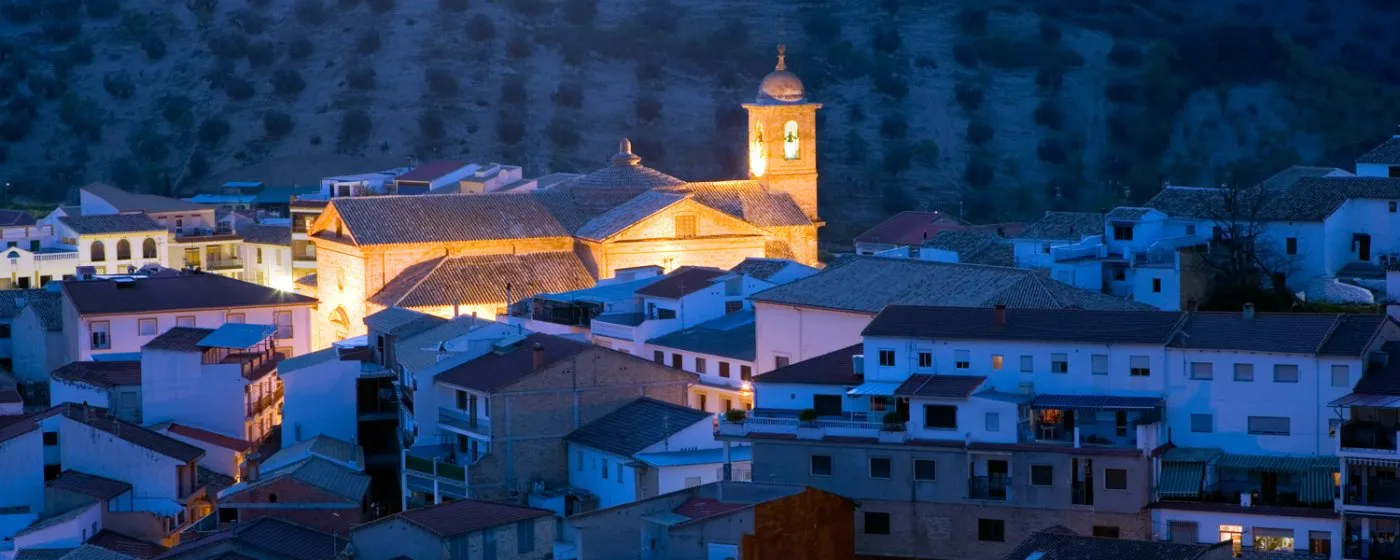
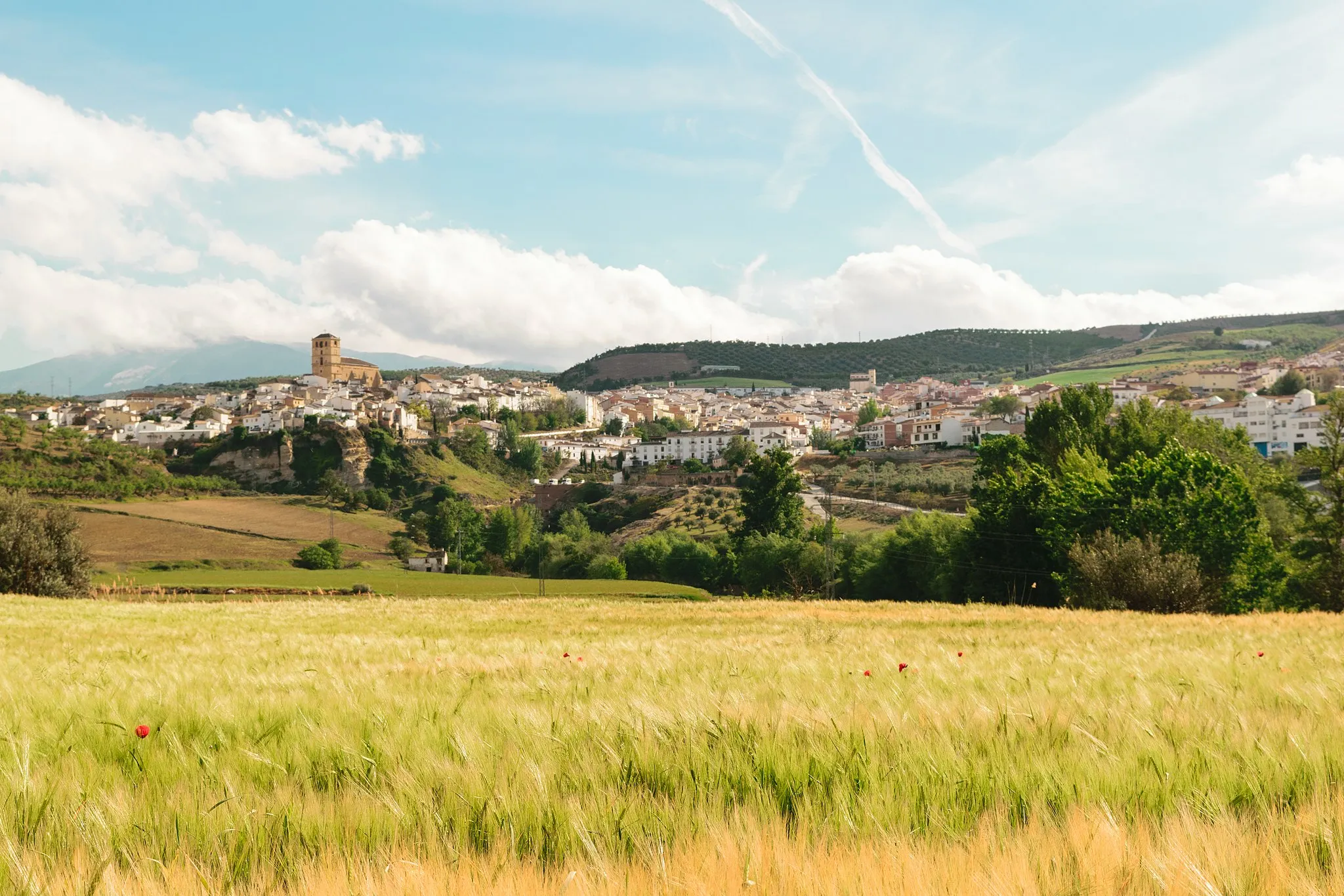
MontefríoVillagePass by Montefrío and admire the beautiful landscapes, including olive groves and rolling hills.
33 km
33 km
Torre de TocónCastleDiscover Torre de Tocón, a historical tower with panoramic views of the surrounding forests and countryside.
39 km
39 km
Cerro de la Verdeja581 mPeakClimb up to Cerro de la Verdeja, where you can enjoy magnificent views of the park and the distant mountains.
43 km
43 km
Huétor TájarTownFinish the route in Huétor-Tájar, where you can take a well-deserved rest and explore the quaint town center.
43 km
43 km
Finish: Huétor Tájar City centerHuétor-Tájar: Embark on an unforgettable journey through Andalusia's captivating scenery while cycling in Huétor-Tájar.
Cycling routes from Huetor-Tajar:
Gravel Adventure to Cerro de los Castellones Huétor-Tájar - Algarinejo Adventure Rural Gravel Ride Moraleda and Alhama de Granada Loop Loja and Archidona Loop National Geographic Viewpoints Tour Huétor-Tájar - Montefrío Loop Exploring the Nature Park Gravel Excursion to Castillo de Montefrío Gravel Experience to Láchar
Cycling routes nearby: