Huétor-Tájar - Algarinejo Adventure
A road cycling route starting from Huetor-Tajar
Embark on a challenging road cycling journey through scenic landscapes to reach the noteworthy town of Algarinejo.
Map
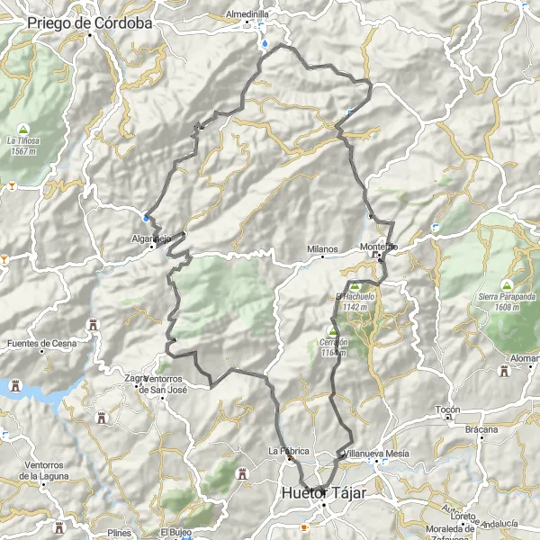
Prepare yourself for an intense road cycling experience with a distance of 89 kilometers and an ascent of 1,907 meters. This demanding route leads you to the charming town of Algarinejo, known for its Moorish influence and exceptional views. Along the way, you'll conquer climbs like Cerro de los Castellones and Cerro del Charcón. Additionally, you'll have the opportunity to visit the National Geographic viewpoint and Montefrío, which further add to the route's allure. This route is recommended for experienced cyclists looking for a challenge amidst beautiful rural landscapes.
road
89 km
1907 m
Savage
Route profile
Highlights on the route
0 km
0 km
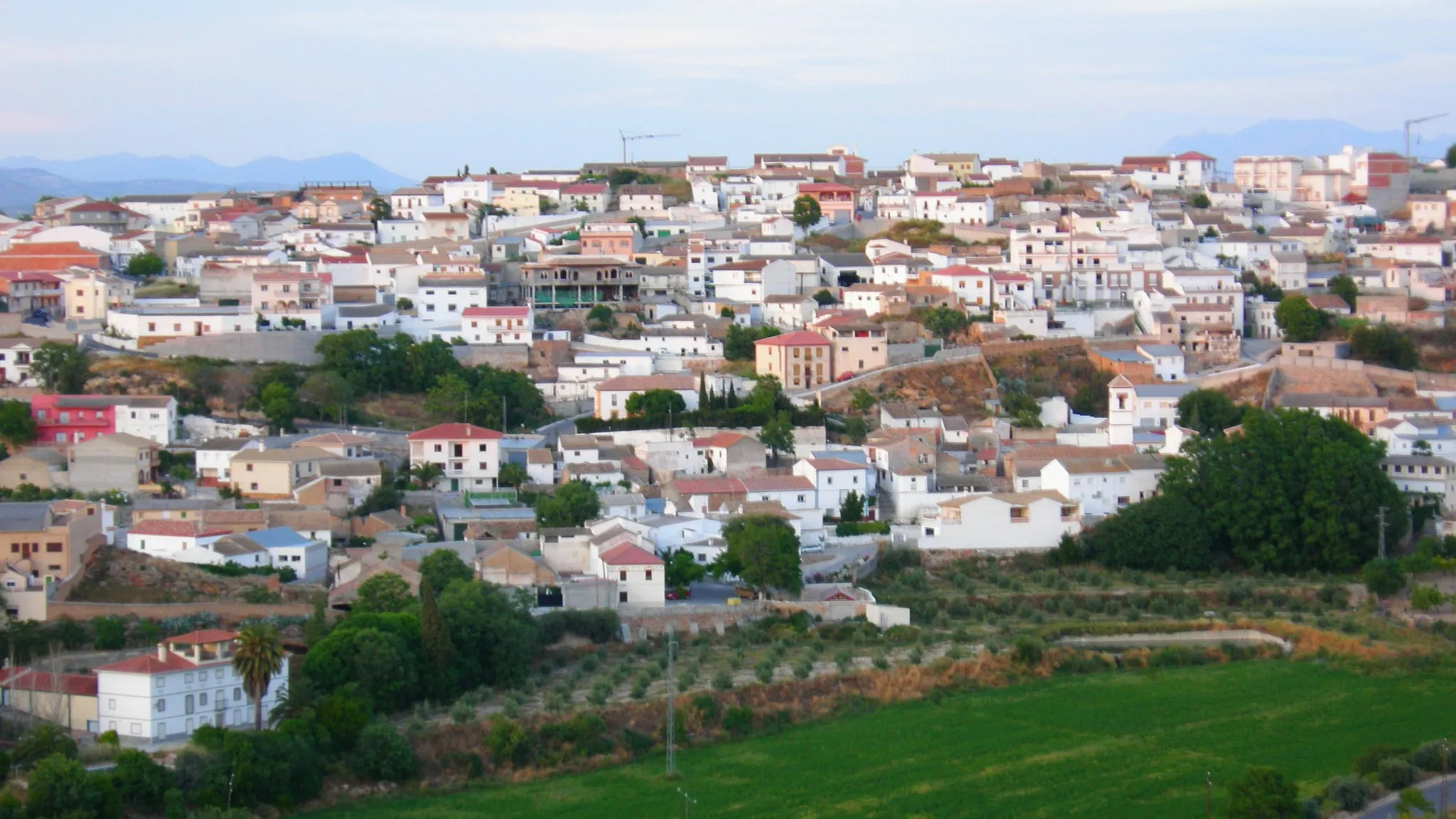
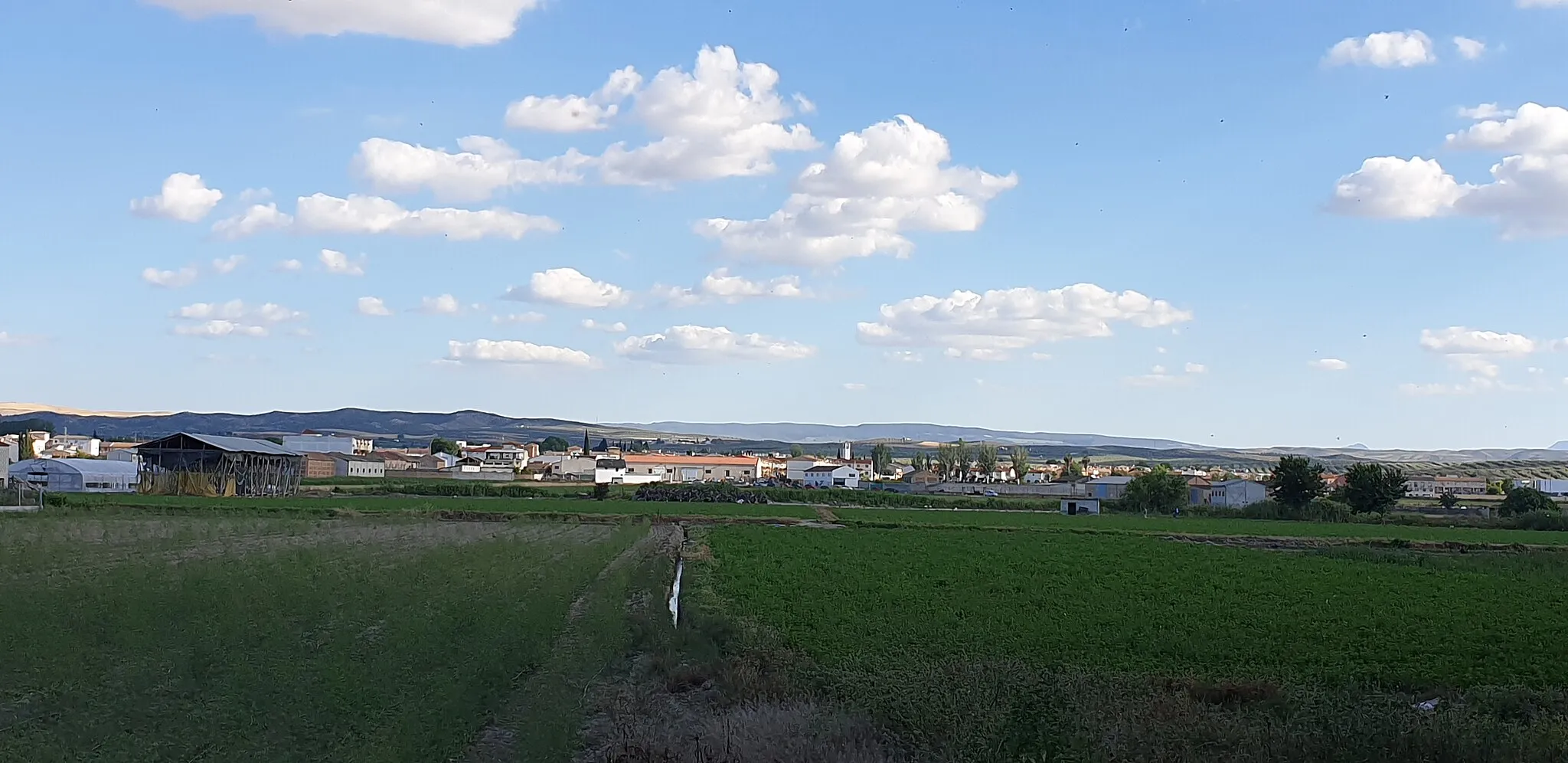
Start: Huétor Tájar City centerHuétor-Tájar: Embark on an unforgettable journey through Andalusia's captivating scenery while cycling in Huétor-Tájar.
Huétor-Tájar, situated in Andalucía, Spain, offers an excellent cycling experience in a beautiful setting. The area features scenic routes that wind through olive groves, vineyards, and rolling hills. Cyclists can enjoy the pleasant Mediterranean climate as they ride along well-paved roads. Huétor-Tájar itself is a picturesque town with traditional Andalusian architecture and vibrant cultural festivals. Nearby, cyclists can explore famous climbs in Sierra Nevada and discover stunning natural landscapes. With its inviting atmosphere and variety of cycling routes, Huétor-Tájar is a desired destination for cyclists in Spain.5 km
5 km
Cerro de los Castellones617 mPeakChallenge yourself as you climb the tough Cerro de los Castellones. The panoramic views from the top will make every pedal stroke worth it.
17 km
17 km
Cerro del Charcón995 mPeakConquer the demanding ascent of Cerro del Charcón, a challenging climb that rewards your efforts with breathtaking vistas of the surroundings.
31 km
31 km
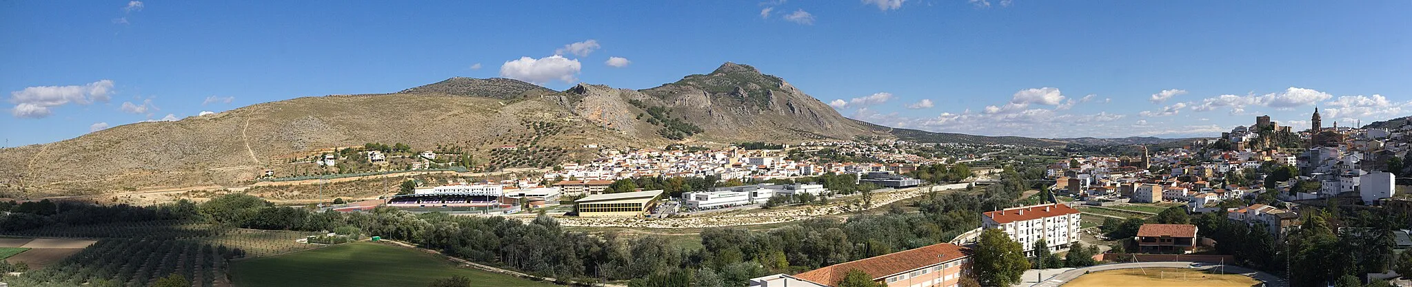
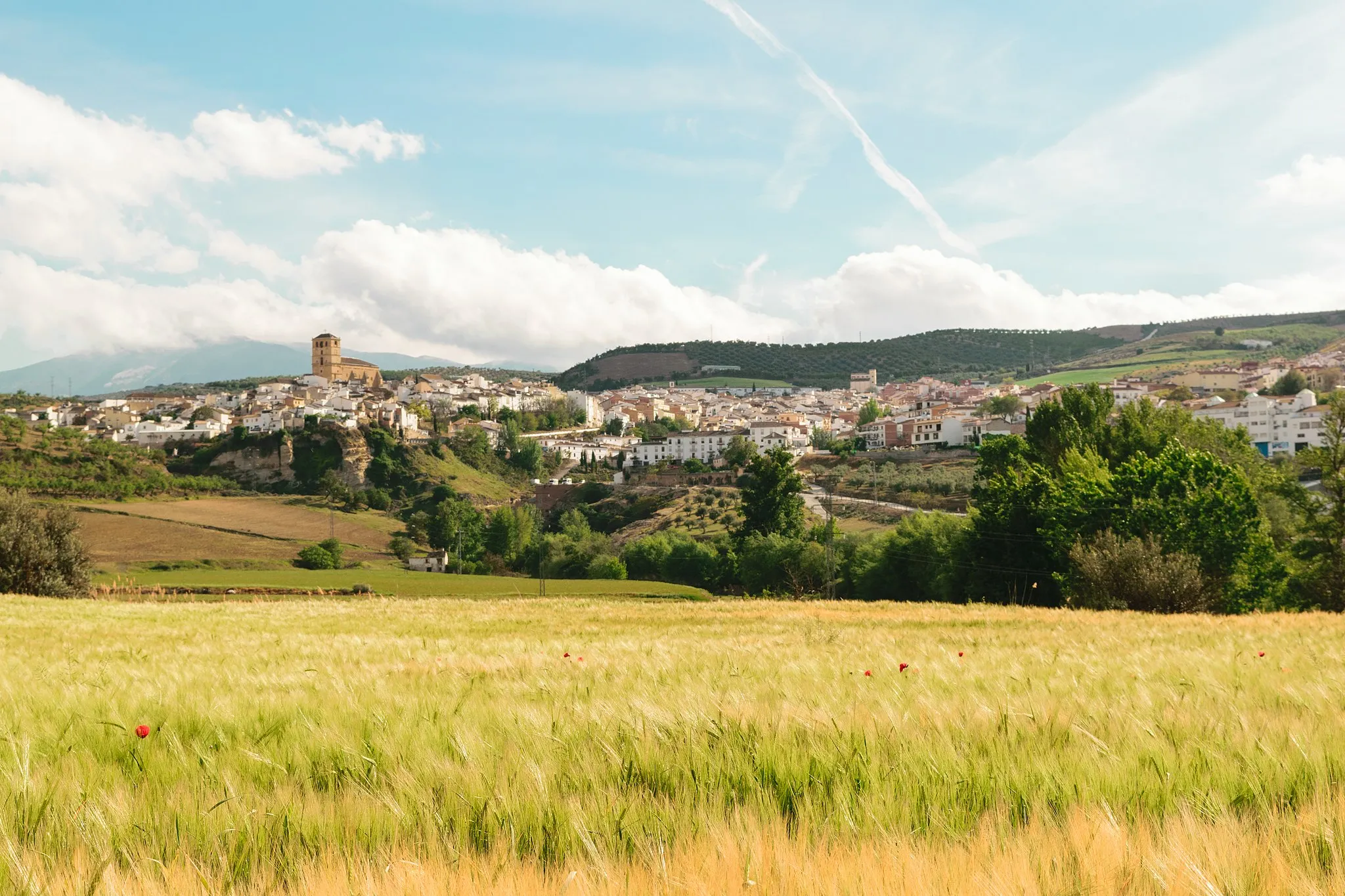
AlgarinejoVillageExplore the quaint town of Algarinejo, famous for its beautiful white-washed houses and imposing mountain landscapes. Immerse yourself in its rich history and soak in the peaceful atmosphere.
46 km
46 km
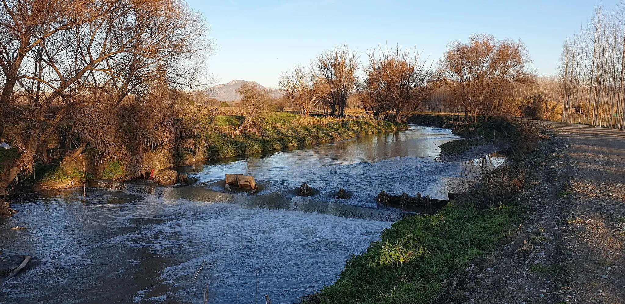
La Fuente GrandeHamletMarvel at the grandeur of the Fuente Grande, an incredible natural water source that serves as a refreshing oasis during long cycling journeys.
70 km
70 km
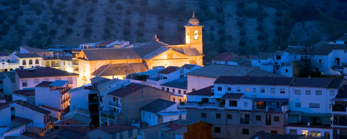
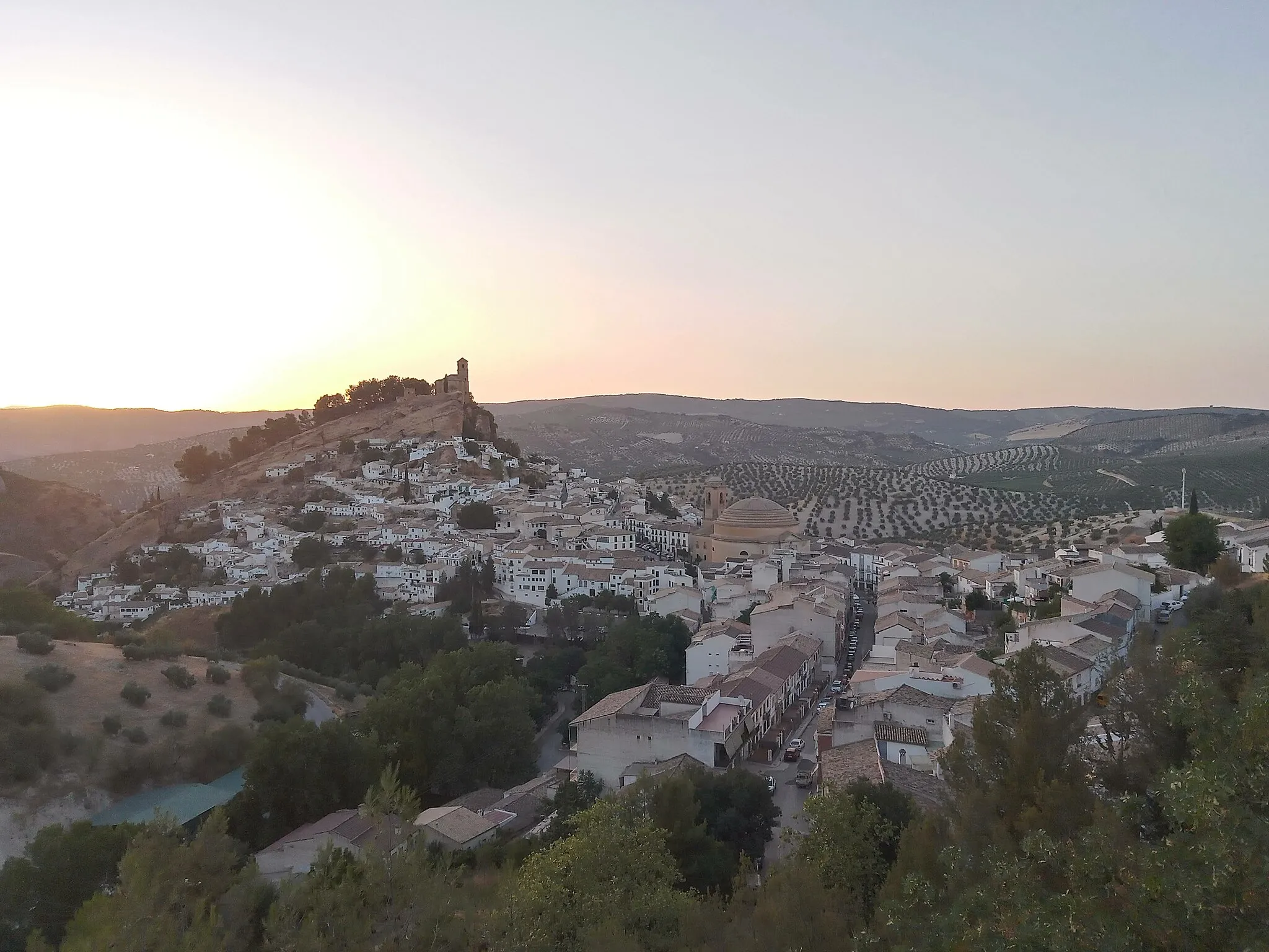
MontefríoVillageVisit Montefrío, a picture-perfect town characterized by its stunning whitewashed buildings and striking vantage points.
70 km
70 km
National Geographic ViewpointViewpointTake a moment to appreciate the National Geographic viewpoint in Montefrío, where you can witness the majestic beauty of the Andalusian countryside.
83 km
83 km
Tajarilla685 mPeakPass through the quaint village of Tajarilla, surrounded by scenic landscapes and traditional Andalucian charm.
89 km
89 km
Huétor TájarTownReturn triumphantly to Huétor-Tájar, a vibrant town with a rich cultural heritage, marking the completion of your challenging adventure.
89 km
89 km
Finish: Huétor Tájar City centerHuétor-Tájar: Embark on an unforgettable journey through Andalusia's captivating scenery while cycling in Huétor-Tájar.
Cycling routes from Huetor-Tajar:
Gravel Adventure to Cerro de los Castellones Huétor-Tájar - Algarinejo Adventure Rural Gravel Ride Moraleda and Alhama de Granada Loop Loja and Archidona Loop National Geographic Viewpoints Tour Huétor-Tájar - Montefrío Loop Exploring the Nature Park Gravel Excursion to Castillo de Montefrío Gravel Experience to Láchar
Cycling routes nearby: