The Weetslade Loop
A road cycling route starting from Darras Hall
Traverse the Weetslade Colliery Country Park and enjoy scenic views along this road cycling route
Map
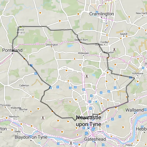
The Weetslade Loop is a 43-kilometer road cycling route that takes you through the picturesque Weetslade Colliery Country Park. With moderate ascent and a pleasant distance, this route offers an enjoyable cycling experience for all skill levels. The highlight of the route is the Cow Hill, which provides stunning panoramic views of the surrounding countryside.
road
43 km
186 m
Chill
Route profile
Highlights on the route
0 km
0 km
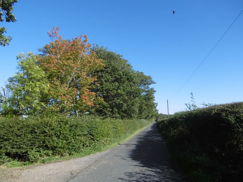
Start: Ponteland City centerDarras Hall: Serene cycling haven in the heart of Northumberland
Darras Hall is a locality situated in Northumberland and Tyne and Wear region of the United Kingdom. As a cyclist, you'll appreciate the charming landscapes and serene roads surrounding Darras Hall. With its abundance of hidden country lanes and scenic routes, this area offers fantastic opportunities for road and gravel cycling. Several notable climbs can be found nearby, including the challenging Haydon Bridge climb. Darras Hall is a must-visit destination for cycling enthusiasts looking to explore the stunning British countryside on two wheels.13 km
13 km
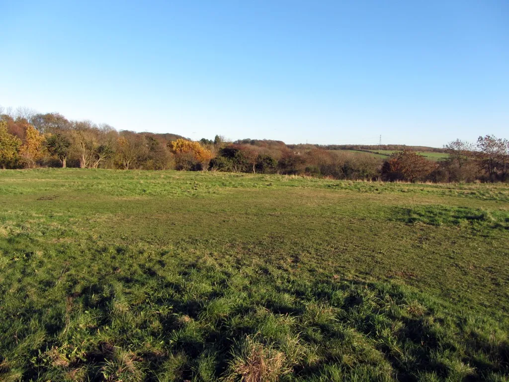
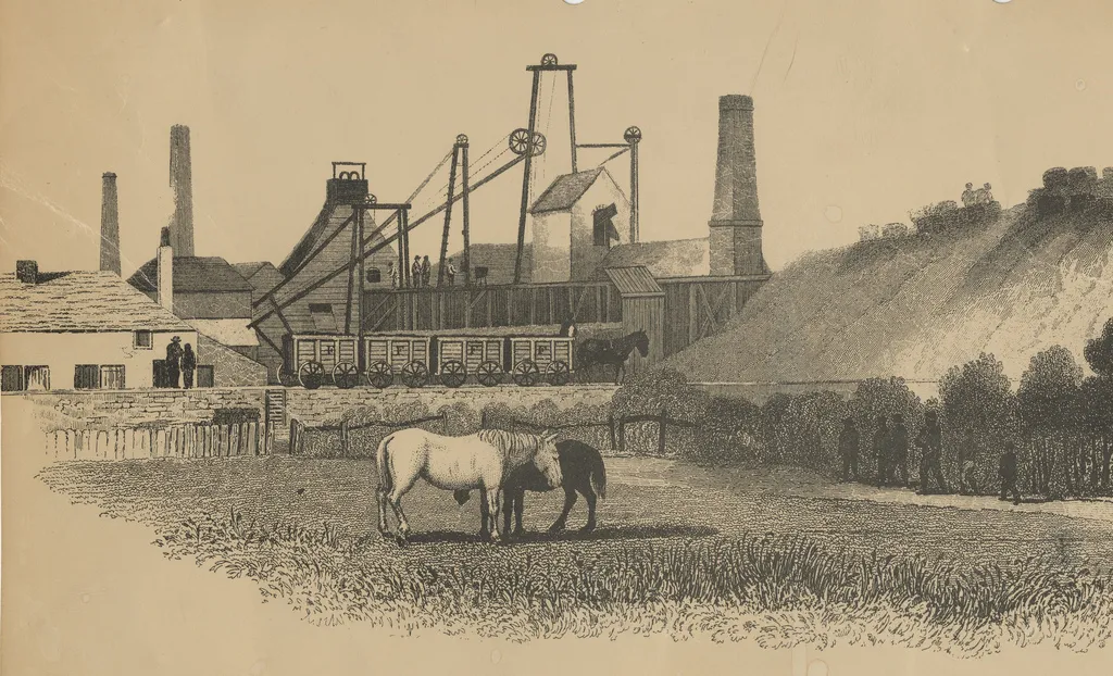
Weetslade Colliery Country ParkViewpointExplore the Weetslade Colliery Country Park and discover its rich history as a former colliery site.
14 km
14 km
BurradonVillagePass through Burradon, a charming village with beautiful countryside views and traditional architecture.
29 km
29 km
Cow Hill109 mPeakClimb the iconic Cow Hill and enjoy breathtaking views of the Northumberland landscape.
29 km
29 km
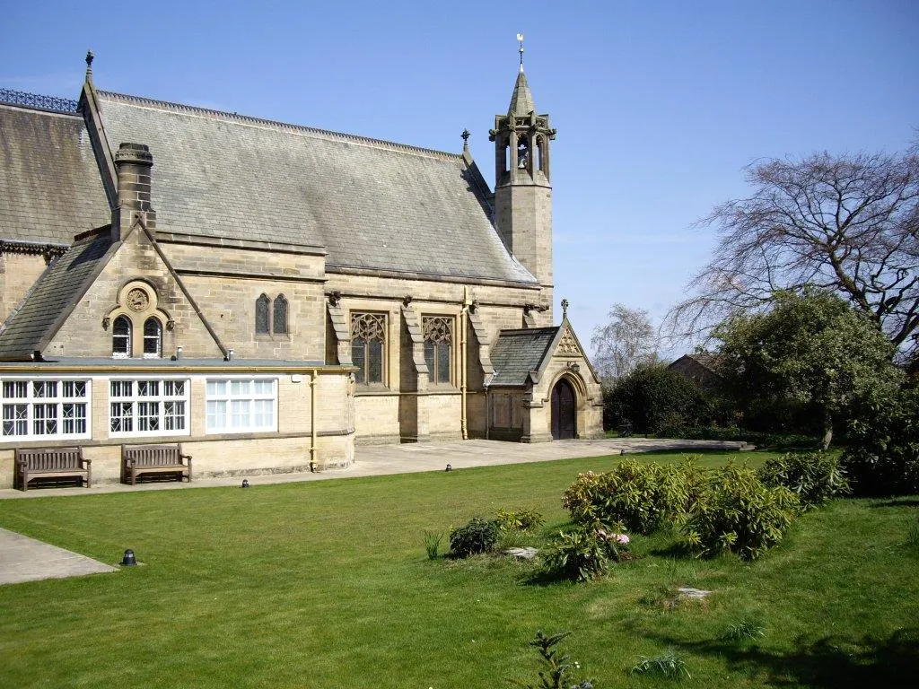
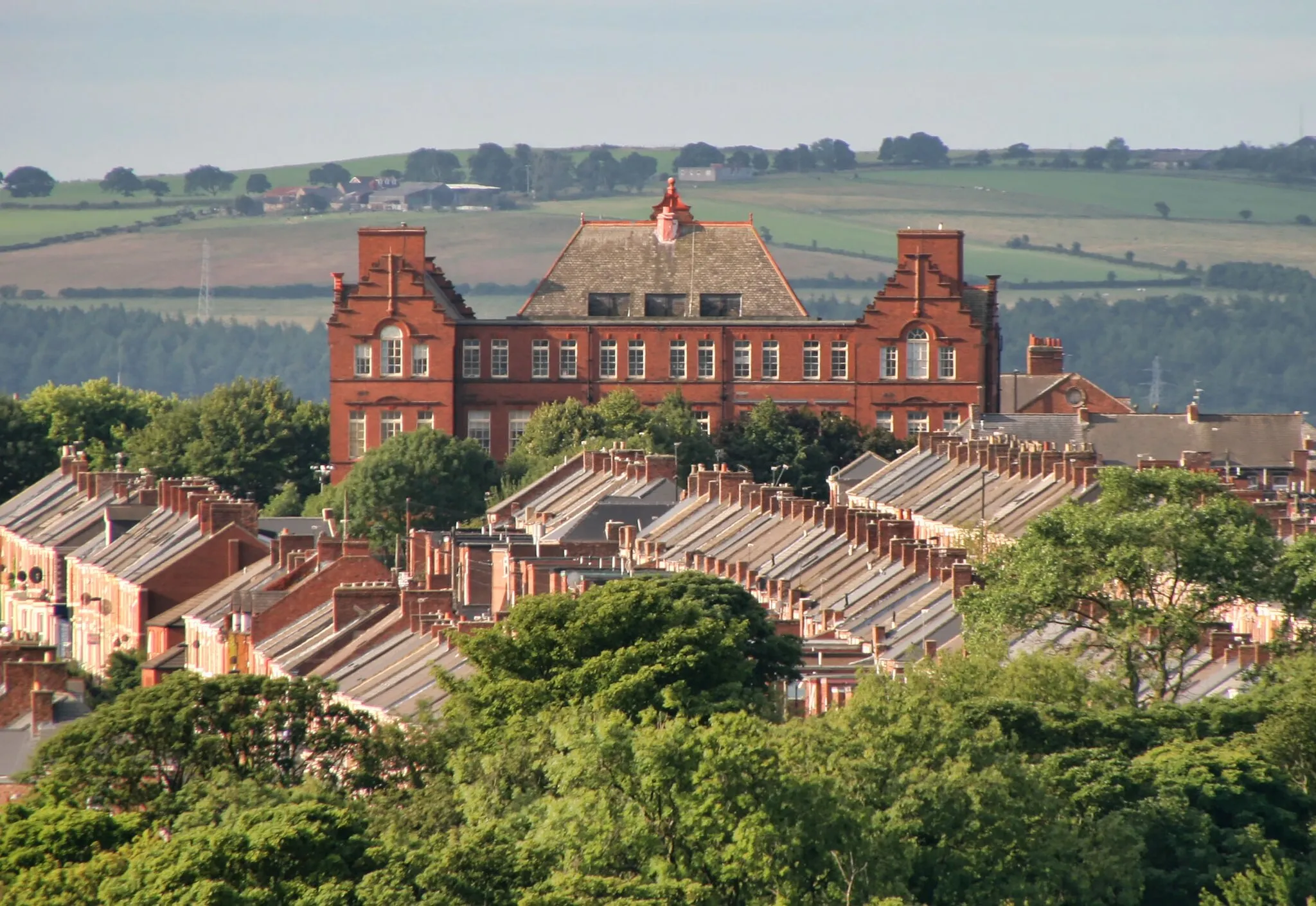
Spital TonguesSub-urbRide through Spital Tongues, a historic neighborhood known for its beautiful Victorian architecture.
43 km
43 km
Finish: Ponteland City centerDarras Hall: Serene cycling haven in the heart of Northumberland
Cycling routes from Darras Hall:
The Weetslade Loop The Darras Hall Challenge The Historic Hinterland The Northumberland Explorer The Gravel Adventure Harlow Hill and Matfen Loop Berwick Hill to Westerhope Adventure Exploring Gravel Trails around Ponteland Gravel Adventure to Old Hartley and Coxlodge Ryton to Stamfordham Scenic Road Route
Cycling routes nearby: