From Gentle Rides to Summiting the Highest Point in Southeast England
Cycling routes from Deepcut
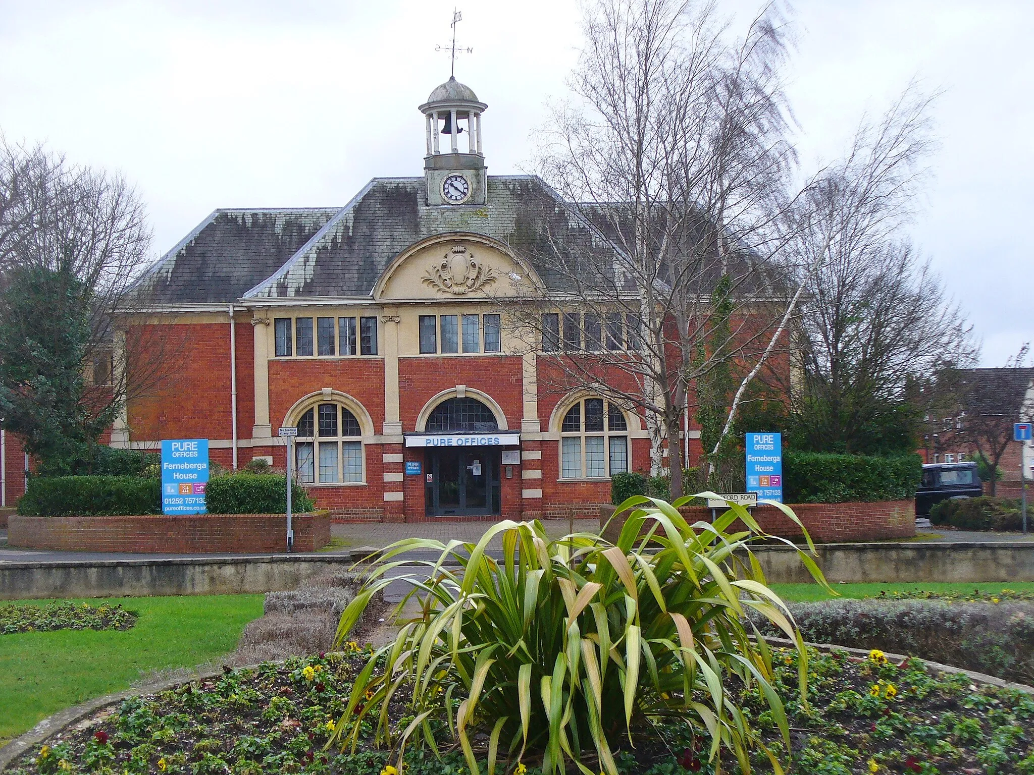
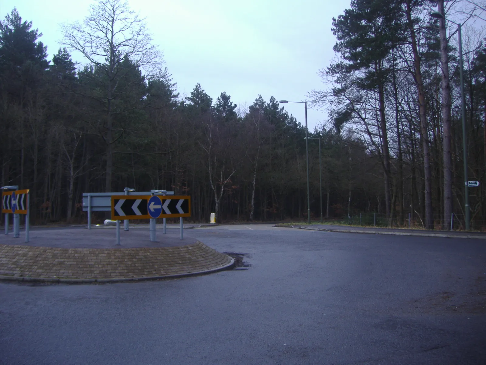
Deepcut, situated in Surrey, East and West Sussex, United Kingdom, offers a pleasant cycling experience for road and gravel cyclists. The region features a mix of flat and rolling terrains, making it suitable for riders of all fitness levels. Explore the scenic countryside and picturesque villages or test your mettle on the notorious Leith Hill climb, known as the highest point in the southeastern region of England. Deepcut's cycling-friendly infrastructure and versatile routes make it an ideal location for both recreational and competitive cyclists.

A scenic gravel route through Guildford and Pitch Hill
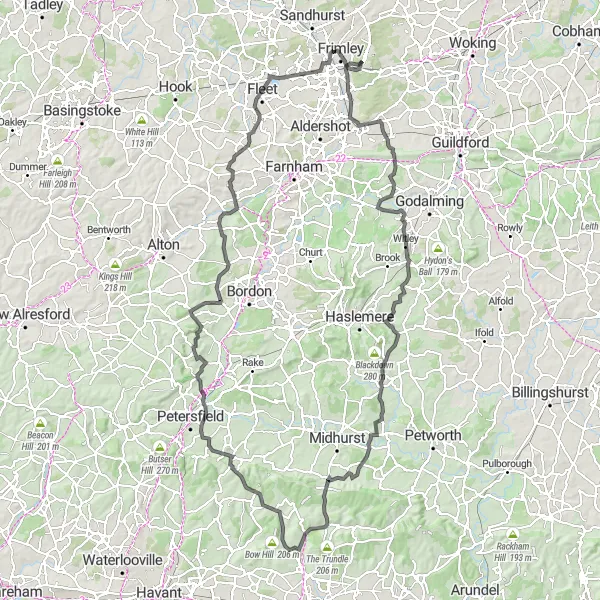
This 77 kilometer gravel route takes you through Guildford and Pitch Hill, offering stunning views and a chance to explore the beautiful Surrey countryside. With an ascent of 913 meters, this route is perfect for adventurous cyclists looking for a moderate challenge. Highlights of this route include a visit to Farley Green, which is known for its beautiful landscapes and idyllic countryside, and Eashing, where you can relax and enjoy the peacefulness of the river. The route concludes in Deepcut.

Conquer the Chilterns' challenging climbs on this 126 km road route
Take up the challenge of conquering the Chilterns Hills with this 126 km road cycling route. With an ascent of 691 meters, this route is best suited for experienced amateur cyclists looking for a demanding and rewarding ride. Highlights include Black Hill, Brookside, Gerrards Cross, Pottermouth Hill, Sudbury, King Henry VIII's Mound, Esher, and Send Marsh. Throttle through scenic countryside, tackle steep ascents, and revel in the thrill of conquering challenging hills. Experience the beauty of the Chilterns Hills, picturesque villages, and peaceful rural landscapes. This route offers a mix of rolling descents and heart-pounding climbs, providing an exhilarating and memorable cycling adventure.

A challenging road route through Chobham and Leith Hill
Covering a distance of 93 kilometers with a total ascent of 954 meters, this road route offers a challenging ride for well-trained amateur cyclists. Highlights along the route include a visit to Denbies Hillside, where you can enjoy panoramic views of the Surrey Hills, and Leith Hill, which is known for its legendary status as the highest point in the Southeast of England. The route also passes through picturesque villages such as Ripley and Wood Street. The ride concludes in Deepcut.
Deepcut Loop
Embark on a challenging road cycling journey through the picturesque landscapes near Deepcut.
Experience the diversity of Surrey, East Sussex, and West Sussex as you cycle through rolling hills, charming villages, and stunning natural scenery on this 137-kilometer loop. With a total ascent of 1336 meters, this route is perfect for well-trained amateur cyclists looking for a rewarding challenge.
Mytchett and Cobham Road Route

A scenic road route from Mytchett to Cobham
This 74 kilometer road route takes you through picturesque landscapes from Mytchett to Cobham. With a total ascent of 347 meters, it offers a moderate challenge for amateur cyclists. Highlights along the route include Addlestone, known for its picturesque streets and historic buildings, and Wood Street, where you can immerse yourself in the beauty of the rural countryside. The route finishes in Ash Vale.

Enjoy a scenic 80 km road route passing through Mytchett and Finchampstead
Embark on a scenic road cycling adventure with this 80 km route passing through Mytchett and Finchampstead. With an ascent of 477 meters, this route provides a moderate challenge for amateur cyclists. Highlights include Mytchett, Bricksbury Hill, Greywell, and Finchampstead, allowing you to experience both nature and cultural gems along the way. Be captivated by the beauty of the countryside and picturesque landscapes as you cycle through these charming locations. The route offers a mix of quiet country lanes and rolling hills, ensuring a delightful and varied cycling experience.
Deepcut to Pangbourne
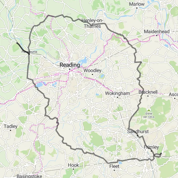
Cycle through beautiful countryside and enjoy panoramic views along this 120 km road route
This road cycling route takes you from Deepcut to Pangbourne, offering stunning views and a challenging ride. With a total ascent of 665 meters, it is a great choice for well-trained amateur cyclists. Enjoy highlights such as Lions' View, Hartley Wintney, Burghfield, and Pangbourne along the way. Discover picturesque villages, rolling hills, and peaceful rural landscapes. The route offers a mix of flats and climbs, providing a diverse and enjoyable cycling experience.

A picturesque gravel route through Pirbright and Castle
This 48 kilometer gravel route takes you through the beautiful villages of Pirbright and Castle. With a total ascent of 401 meters, it offers a moderate challenge for amateur cyclists. The highlights of this route include a visit to St Catherine's Chapel, known for its stunning views of the surrounding countryside, and Eashing, where you can relax by the river and enjoy the peacefulness of nature. The route finishes in Deepcut.
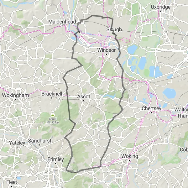
Cycle through picturesque villages and enjoy scenic views on this 73 km road route
Embark on a captivating road cycling adventure through the scenic Windsor countryside on this 73 km route. With an ascent of 389 meters, this route is suitable for amateur cyclists who enjoy a more relaxed and picturesque ride. Highlights include Black Hill, Brock Hill, Fifield, Old Windsor, Oystershell Hill, and Brookwood. Immerse yourself in the charm of traditional English villages, scenic landscapes, and historic landmarks along the way. The route offers a mix of rolling hills and flat sections, ensuring an enjoyable and varied cycling experience.
Exploring the Gravel Trails

Venture into the Surrey and Sussex countryside on this 75 km gravel route
Escape into nature and explore the beautiful Surrey and Sussex countryside with this 75 km gravel route. As a gravel route, expect a more adventurous cycling experience with diverse terrains and scenic off-road trails. With an ascent of 614 meters, this route offers a moderate challenge suitable for gravel enthusiasts. Highlights include Brookwood, Wisley, Great Bookham, and Guildford. Immerse yourself in the beauty of the natural surroundings, meander through picturesque villages, and enjoy the tranquility of off-the-beaten-path trails. This route offers a mix of open countryside and wooded areas, providing a scenic and unforgettable cycling adventure.
Cycling routes nearby:


Nearby regions: