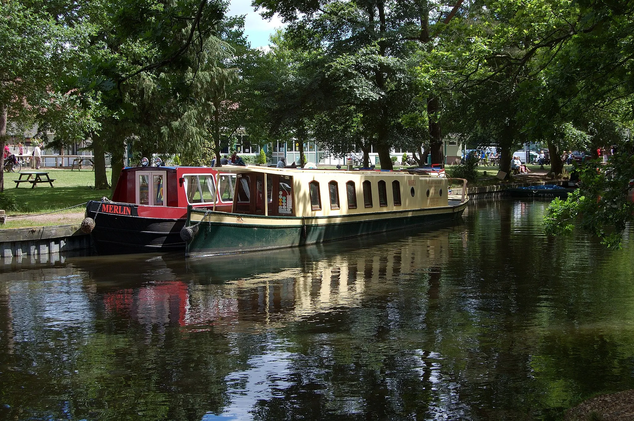
Deepcut Loop
A road cycling route starting from Deepcut
Embark on a challenging road cycling journey through the picturesque landscapes near Deepcut.
Map
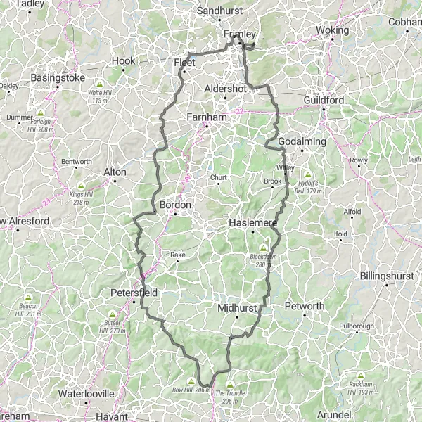
Experience the diversity of Surrey, East Sussex, and West Sussex as you cycle through rolling hills, charming villages, and stunning natural scenery on this 137-kilometer loop. With a total ascent of 1336 meters, this route is perfect for well-trained amateur cyclists looking for a rewarding challenge.
road
137 km
1336 m
Tough
Route profile
Highlights on the route
0 km
0 km
Start: Deepcut Village centerDeepcut: From Gentle Rides to Summiting the Highest Point in Southeast England
Deepcut, situated in Surrey, East and West Sussex, United Kingdom, offers a pleasant cycling experience for road and gravel cyclists. The region features a mix of flat and rolling terrains, making it suitable for riders of all fitness levels. Explore the scenic countryside and picturesque villages or test your mettle on the notorious Leith Hill climb, known as the highest point in the southeastern region of England. Deepcut's cycling-friendly infrastructure and versatile routes make it an ideal location for both recreational and competitive cyclists.17 km
17 km
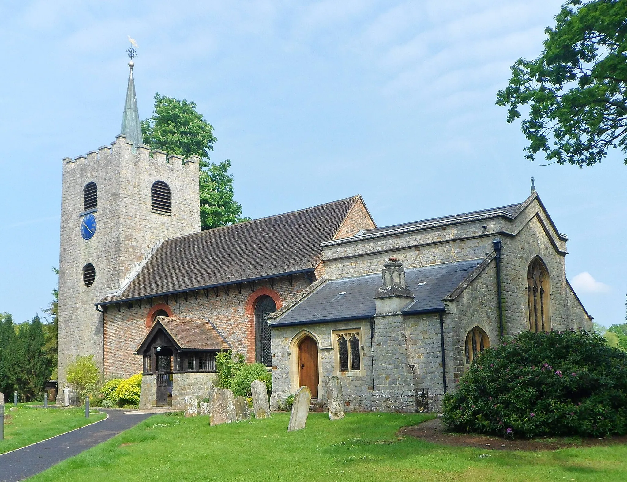
ShacklefordVillageDiscover the village of Shackleford, known for its idyllic setting and historic charm. Take a break and explore the local pubs or simply enjoy the peaceful atmosphere.
26 km
26 km
WitleyVillagePass through the scenic village of Witley, home to the beautiful Witley Court and its stunning gardens. Admire the architecture and take in the tranquil surroundings.
49 km
49 km
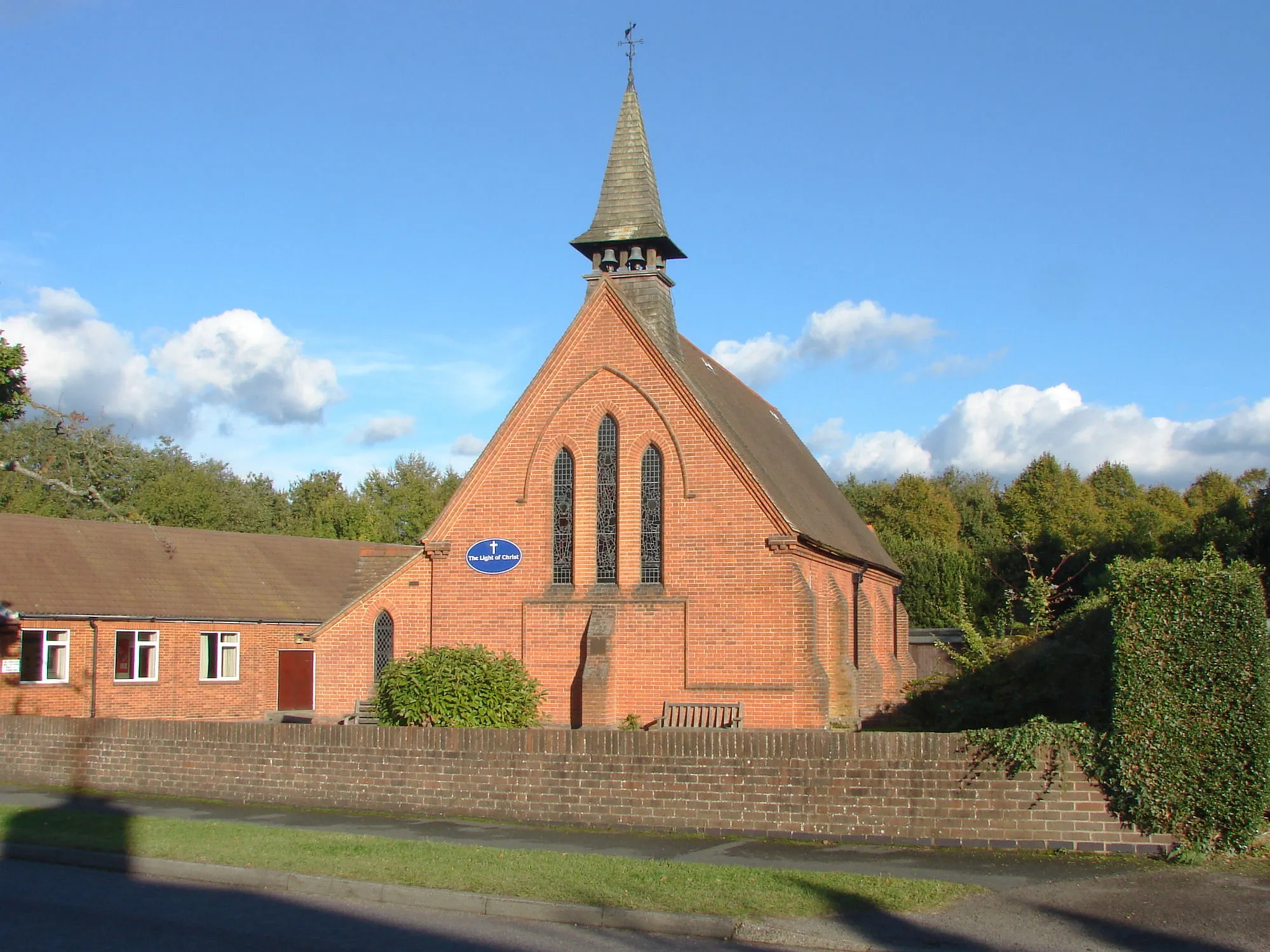
South AmbershamHamletMarvel at the beauty of South Ambersham, a small hamlet nestled amidst picturesque countryside. Enjoy the peaceful surroundings and stunning views as you cycle through the area.
61 km
61 km
Hat Hill156 mPeakChallenge yourself on the steep ascent of Hat Hill and revel in the sense of accomplishment as you reach the summit. Enjoy panoramic views of the surrounding countryside before continuing your journey.
62 km
62 km
West DeanVillageExplore the charming village of West Dean, located in the heart of the South Downs National Park. Admire the quintessential English cottages and soak in the peaceful atmosphere.
75 km
75 km
Harting Down229 mPeakCycle up Harting Down and be rewarded with breathtaking views of the rolling hills and the distant coastline. Take a moment to appreciate the natural beauty of this area.
94 km
94 km
Noar Hill210 mPeakPass by Noar Hill, a nature reserve known for its diverse wildlife and stunning display of wildflowers. Keep an eye out for rare species and enjoy the tranquility of the surroundings.
109 km
109 km
IsingtonHamletVisit Isington, a charming village with a rich history. Explore the medieval church and wander along the quaint streets lined with thatched cottages.
126 km
126 km
Lions' ViewViewpointLions' View offers a scenic overlook with panoramic vistas of the surrounding countryside. Take a moment to appreciate the natural beauty from this vantage point.
137 km
137 km
DeepcutVillageStart and end your journey in Deepcut, a quaint village with a rich heritage and charming atmosphere. Explore the local landmarks and immerse yourself in the traditional British countryside.
137 km
137 km
Finish: Deepcut Village centerDeepcut: From Gentle Rides to Summiting the Highest Point in Southeast England
Cycling routes nearby: