Exploring Windsor Countryside
A road cycling route starting from Deepcut
Cycle through picturesque villages and enjoy scenic views on this 73 km road route
Map
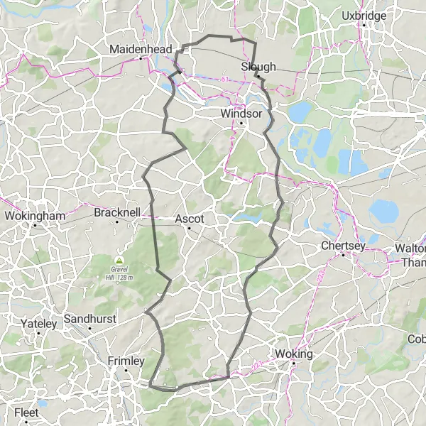
Embark on a captivating road cycling adventure through the scenic Windsor countryside on this 73 km route. With an ascent of 389 meters, this route is suitable for amateur cyclists who enjoy a more relaxed and picturesque ride. Highlights include Black Hill, Brock Hill, Fifield, Old Windsor, Oystershell Hill, and Brookwood. Immerse yourself in the charm of traditional English villages, scenic landscapes, and historic landmarks along the way. The route offers a mix of rolling hills and flat sections, ensuring an enjoyable and varied cycling experience.
road
73 km
389 m
Chill
Route profile
Highlights on the route
0 km
0 km
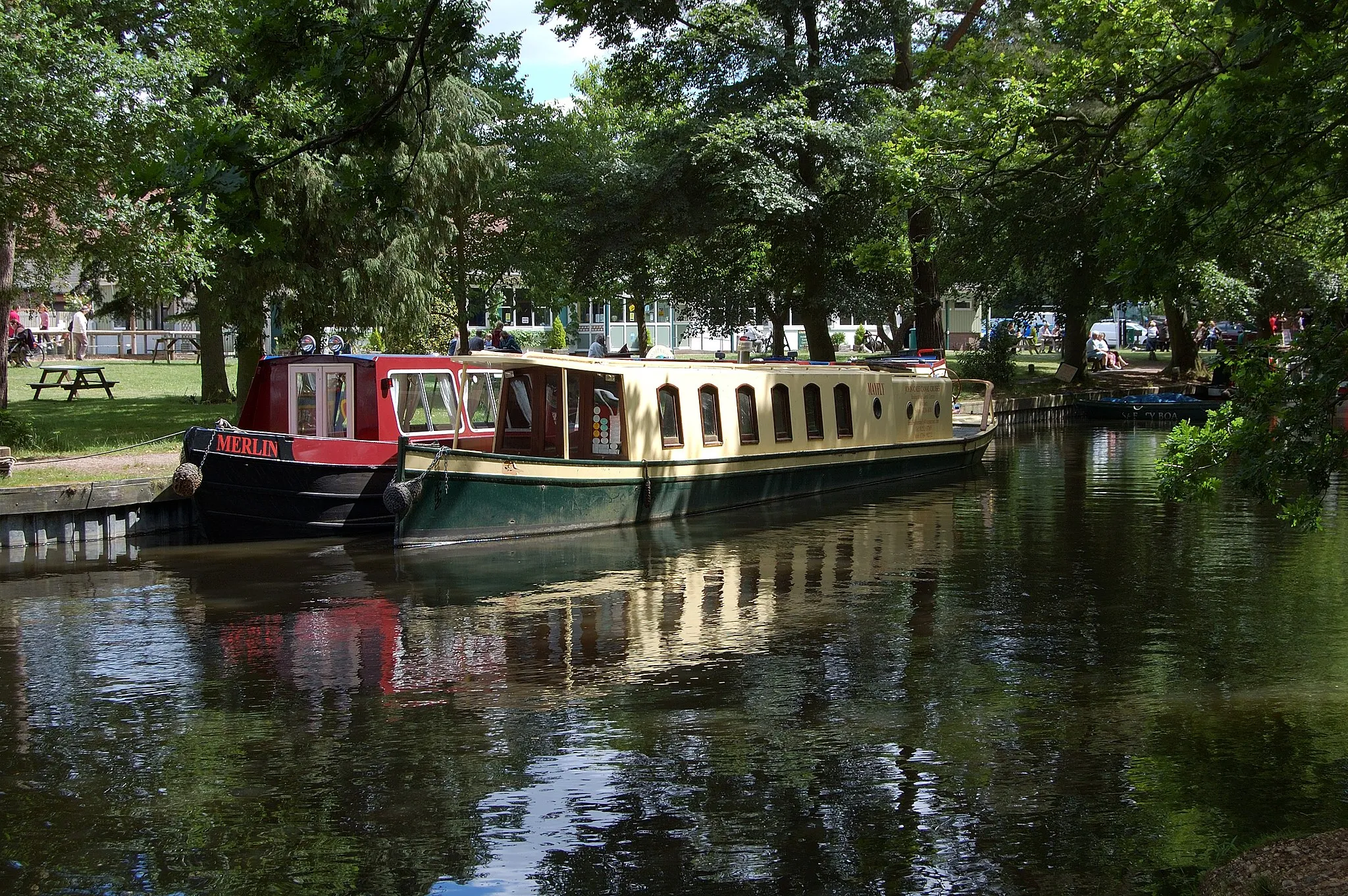
Start: Deepcut Village centerDeepcut: From Gentle Rides to Summiting the Highest Point in Southeast England
Deepcut, situated in Surrey, East and West Sussex, United Kingdom, offers a pleasant cycling experience for road and gravel cyclists. The region features a mix of flat and rolling terrains, making it suitable for riders of all fitness levels. Explore the scenic countryside and picturesque villages or test your mettle on the notorious Leith Hill climb, known as the highest point in the southeastern region of England. Deepcut's cycling-friendly infrastructure and versatile routes make it an ideal location for both recreational and competitive cyclists.6 km
6 km
Black Hill125 mPeakBlack Hill is a mildly challenging climb with rewarding views of the surrounding countryside from the top, making it a highlight for cyclists seeking unique vantage points.
17 km
17 km
Brock HillHamletBrock Hill provides a gentle ascent, perfect for novice climbers, and offers beautiful views of the Windsor countryside as a backdrop to your cycling journey.
24 km
24 km
FifieldVillageFifield is a quaint village surrounded by lush green fields and picturesque landscapes, evoking a sense of tranquility during your road cycling adventure.
46 km
46 km
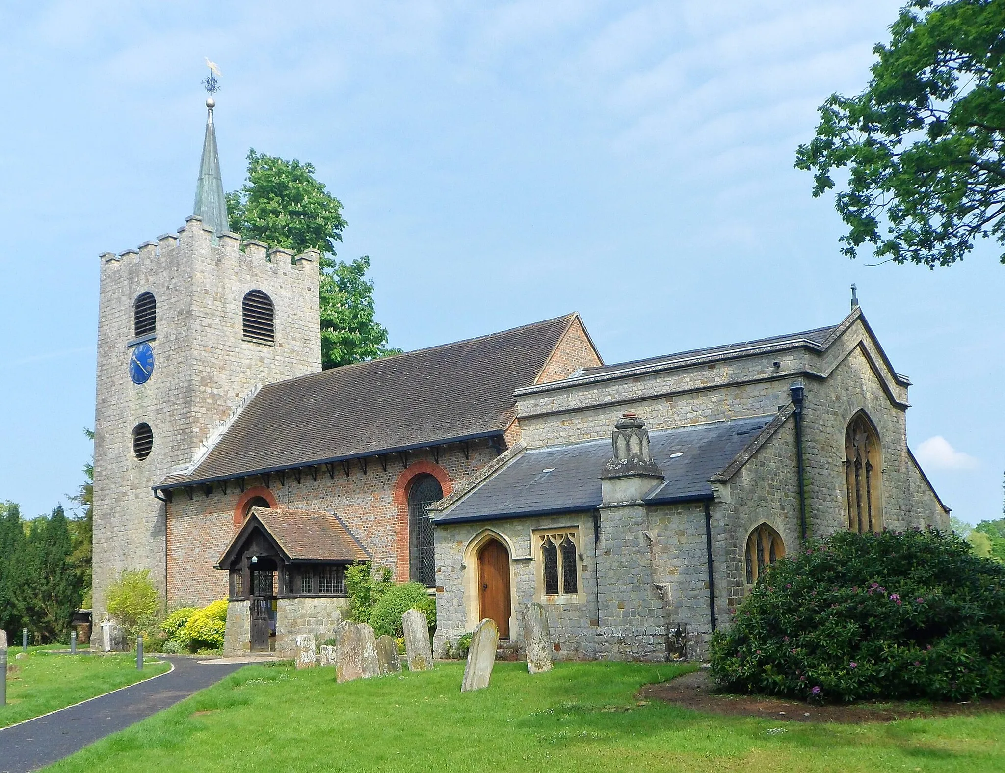
Old WindsorVillageOld Windsor offers a mix of stunning architecture, including the historic Old Windsor Parish Church, and peaceful river views along the route, adding a touch of timeless elegance to your ride.
58 km
58 km
Oystershell Hill67 mPeakOystershell Hill provides a short but invigorating climb that rewards cyclists with expansive views of the surrounding Windsor countryside.
67 km
67 km
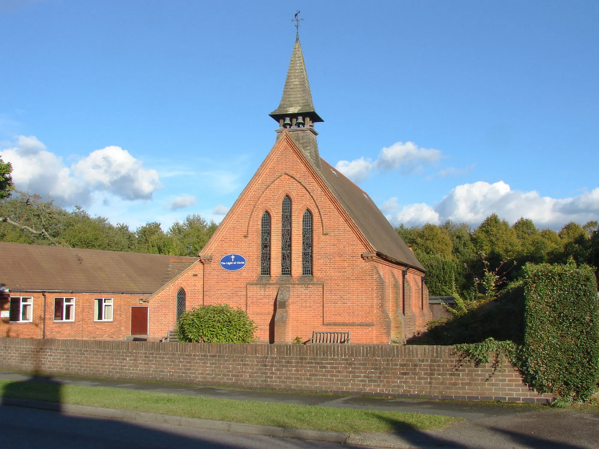
BrookwoodVillageBrookwood is a charming village surrounded by beautiful countryside and woodlands, offering a peaceful and serene environment to explore during your cycling journey.
73 km
73 km
Finish: Deepcut Village centerDeepcut: From Gentle Rides to Summiting the Highest Point in Southeast England
Cycling routes nearby: