Chobham and Leith Hill Road Route
A road cycling route starting from Deepcut
A challenging road route through Chobham and Leith Hill
Map

Covering a distance of 93 kilometers with a total ascent of 954 meters, this road route offers a challenging ride for well-trained amateur cyclists. Highlights along the route include a visit to Denbies Hillside, where you can enjoy panoramic views of the Surrey Hills, and Leith Hill, which is known for its legendary status as the highest point in the Southeast of England. The route also passes through picturesque villages such as Ripley and Wood Street. The ride concludes in Deepcut.
road
93 km
954 m
Tough
Route profile
Highlights on the route
0 km
0 km
Start: Deepcut Village centerDeepcut: From Gentle Rides to Summiting the Highest Point in Southeast England
Deepcut, situated in Surrey, East and West Sussex, United Kingdom, offers a pleasant cycling experience for road and gravel cyclists. The region features a mix of flat and rolling terrains, making it suitable for riders of all fitness levels. Explore the scenic countryside and picturesque villages or test your mettle on the notorious Leith Hill climb, known as the highest point in the southeastern region of England. Deepcut's cycling-friendly infrastructure and versatile routes make it an ideal location for both recreational and competitive cyclists.10 km
10 km
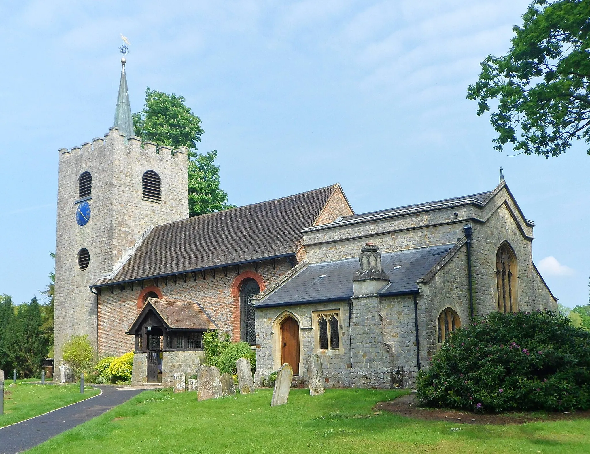
ChobhamVillageVisit Chobham, a historic village known for its beautiful surrounding countryside and quaint cottages.
22 km
22 km
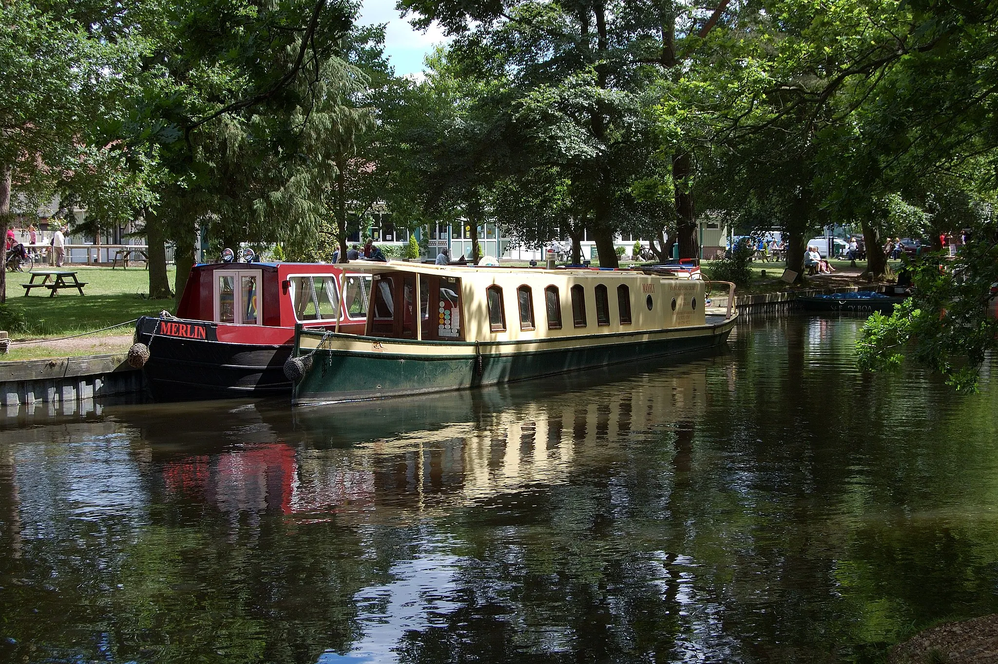
RipleyVillagePass through Ripley and discover its charming streets lined with historic buildings and picturesque gardens.
23 km
23 km
Fruit HillViewpointCycle up Fruit Hill and enjoy the stunning views of the Surrey countryside from this elevated vantage point.
38 km
38 km
Denbies HillsideViewpointStop by Denbies Hillside and be rewarded with panoramic views of the Surrey Hills and the North Downs.
43 km
43 km
WestcottVillageCycle through the village of Westcott and take in the beautiful landscapes of the North Downs.
50 km
50 km
Leith Hill294 mPeakChallenge yourself to climb Leith Hill, the highest point in the Southeast of England, and enjoy breathtaking views from the top.
68 km
68 km
Shamley GreenVillageVisit Shamley Green and discover its charming village atmosphere, complete with village greens and traditional cottages.
75 km
75 km
CastleViewpointExplore the historic castle in Castle and learn about its fascinating history dating back to the Norman period.
81 km
81 km
Wood StreetVillagePass through Wood Street and marvel at its rural beauty, including idyllic cottages and stunning landscapes.
93 km
93 km
DeepcutVillageFinish your challenging road journey in Deepcut, where you can relax and reflect on your accomplishment.
93 km
93 km
Finish: Deepcut Village centerDeepcut: From Gentle Rides to Summiting the Highest Point in Southeast England
Cycling routes nearby: