Chilterns Hills Challenge
A road cycling route starting from Deepcut
Conquer the Chilterns' challenging climbs on this 126 km road route
Map

Take up the challenge of conquering the Chilterns Hills with this 126 km road cycling route. With an ascent of 691 meters, this route is best suited for experienced amateur cyclists looking for a demanding and rewarding ride. Highlights include Black Hill, Brookside, Gerrards Cross, Pottermouth Hill, Sudbury, King Henry VIII's Mound, Esher, and Send Marsh. Throttle through scenic countryside, tackle steep ascents, and revel in the thrill of conquering challenging hills. Experience the beauty of the Chilterns Hills, picturesque villages, and peaceful rural landscapes. This route offers a mix of rolling descents and heart-pounding climbs, providing an exhilarating and memorable cycling adventure.
road
126 km
691 m
Savage
Route profile
Highlights on the route
0 km
0 km
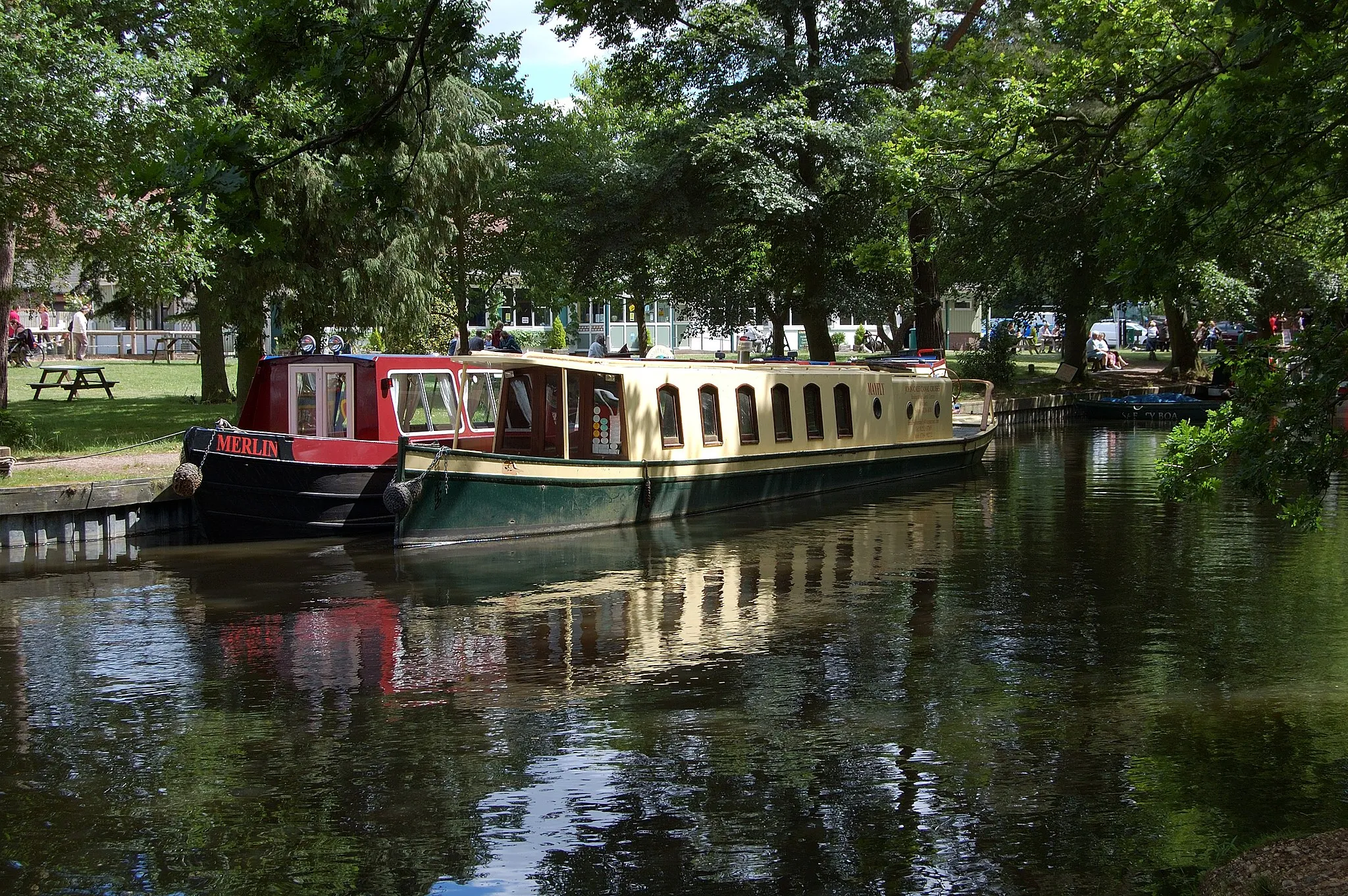
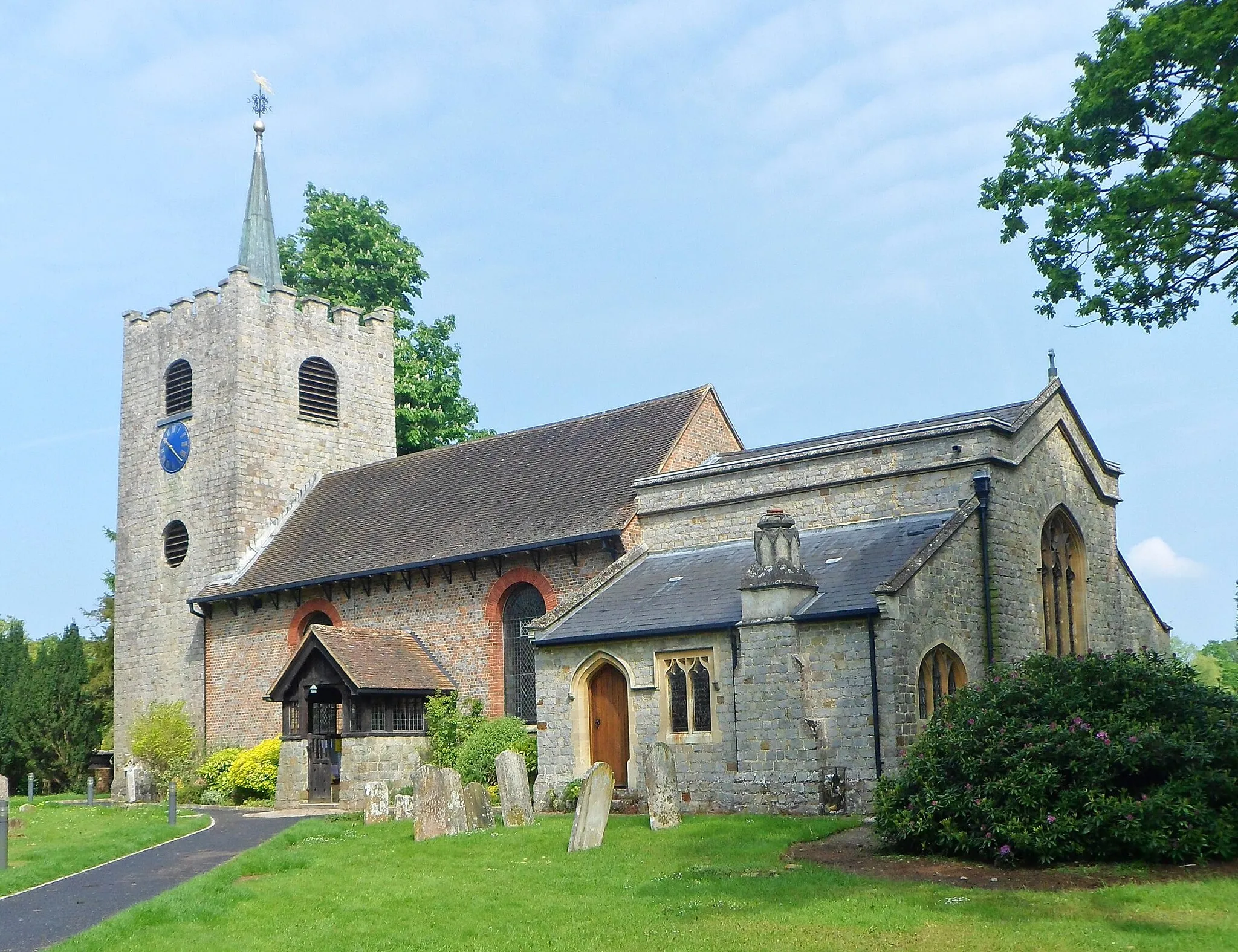
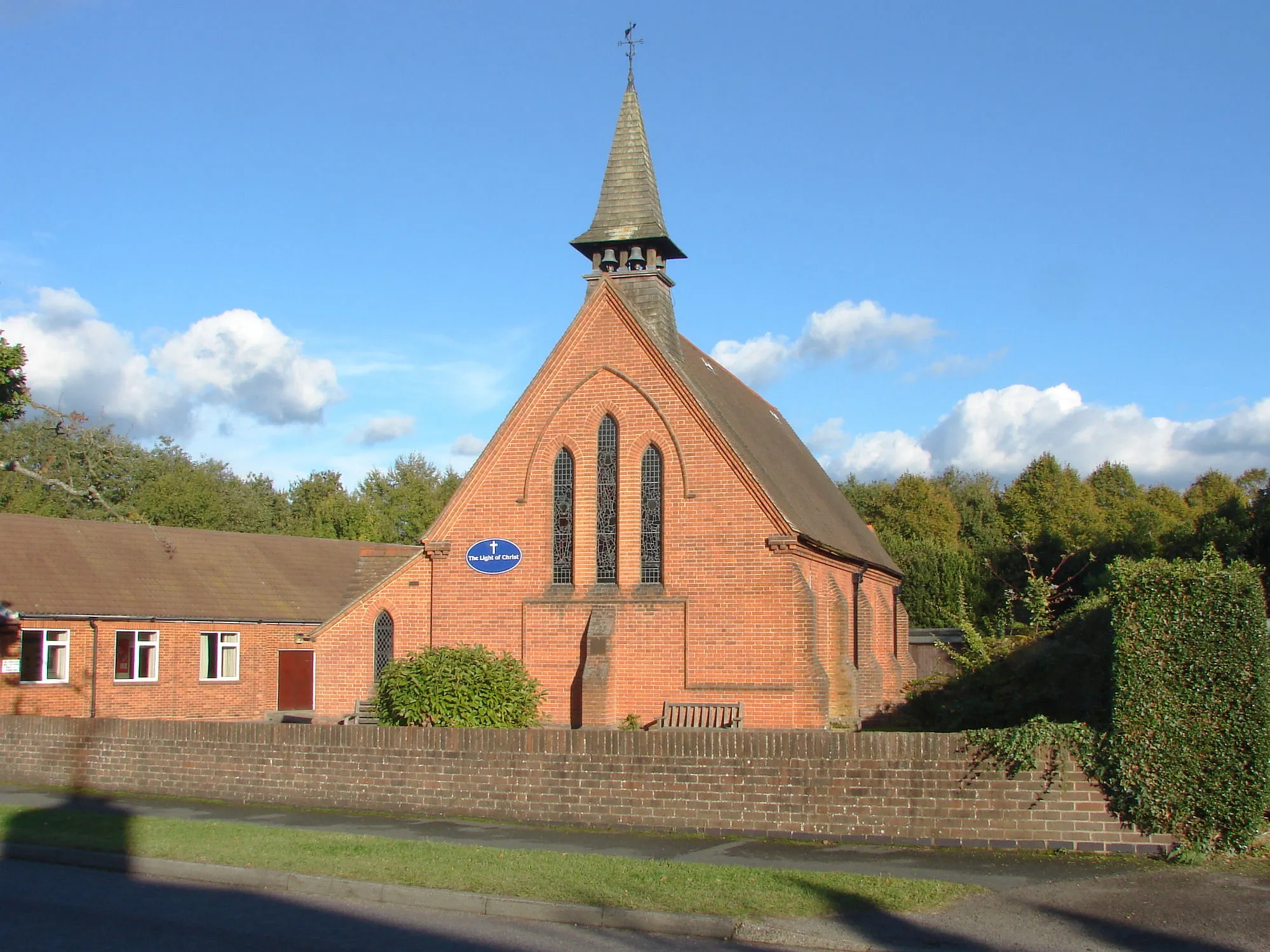
Start: Deepcut Village centerDeepcut: From Gentle Rides to Summiting the Highest Point in Southeast England
Deepcut, situated in Surrey, East and West Sussex, United Kingdom, offers a pleasant cycling experience for road and gravel cyclists. The region features a mix of flat and rolling terrains, making it suitable for riders of all fitness levels. Explore the scenic countryside and picturesque villages or test your mettle on the notorious Leith Hill climb, known as the highest point in the southeastern region of England. Deepcut's cycling-friendly infrastructure and versatile routes make it an ideal location for both recreational and competitive cyclists.6 km
6 km
Black Hill125 mPeakBlack Hill is a challenging climb known for its steep gradients, putting your cycling capabilities to test while delivering breathtaking views at the summit.
16 km
16 km
BrooksideVillageBrookside offers a serene countryside setting with charming landscapes, providing a welcome respite during a challenging ride through the Chilterns Hills.
39 km
39 km
Gerrards CrossTownGerrards Cross offers a blend of traditional and modern charm, with boutique shops and welcoming cafes to refuel before continuing your cycling adventure.
56 km
56 km
Potter Street Hill134 mPeakPotter Street Hill is an iconic climb in the Chilterns, ascending with twists and turns, and rewarding cyclists with far-reaching views of the stunning natural surroundings at the top.
68 km
68 km
SudburySub-urbSudbury is a peaceful village with idyllic landscapes and historic architecture that transport cyclists to a bygone era, making it a hidden gem among the Chilterns hills.
81 km
81 km
King Henry VIII's MoundViewpointKing Henry VIII's Mound offers a captivating glimpse into history, with stunning panoramic views of the surrounding countryside and landmarks, immersing cyclists in a sense of the regal past of this area.
93 km
93 km
EsherTownEsher provides a mix of stunning views across Surrey and a showcase of regal architecture with prestigious properties lining the cycle route, creating a memorable and picturesque backdrop as you ride.
109 km
109 km
Send MarshHamletSend Marsh is a haven for wildlife, boasting beautiful wetlands that cyclists can observe while traversing this peacful part of the route, adding a touch of tranquility to the adventure.
126 km
126 km
DeepcutVillageDeepcut marks the starting and ending point of this challenging road route into the Chilterns Hills, serving as a convenient base camp for cyclists aiming to tackle this epic ride through the quintessential countryside.
126 km
126 km
Finish: Deepcut Village centerDeepcut: From Gentle Rides to Summiting the Highest Point in Southeast England
Cycling routes nearby: