Guildford and Pitch Hill Gravel Route
A gravel cycling route starting from Deepcut
A scenic gravel route through Guildford and Pitch Hill
Map

This 77 kilometer gravel route takes you through Guildford and Pitch Hill, offering stunning views and a chance to explore the beautiful Surrey countryside. With an ascent of 913 meters, this route is perfect for adventurous cyclists looking for a moderate challenge. Highlights of this route include a visit to Farley Green, which is known for its beautiful landscapes and idyllic countryside, and Eashing, where you can relax and enjoy the peacefulness of the river. The route concludes in Deepcut.
gravel
77 km
913 m
Tough
Route profile
Highlights on the route
0 km
0 km
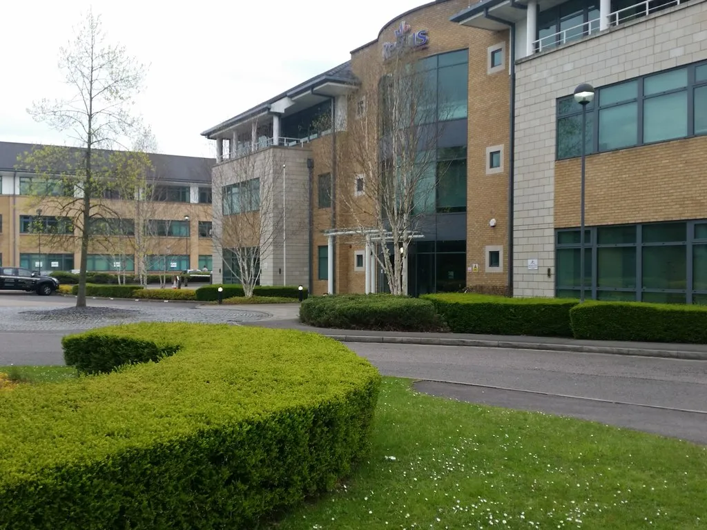
Start: Deepcut Village centerDeepcut: From Gentle Rides to Summiting the Highest Point in Southeast England
Deepcut, situated in Surrey, East and West Sussex, United Kingdom, offers a pleasant cycling experience for road and gravel cyclists. The region features a mix of flat and rolling terrains, making it suitable for riders of all fitness levels. Explore the scenic countryside and picturesque villages or test your mettle on the notorious Leith Hill climb, known as the highest point in the southeastern region of England. Deepcut's cycling-friendly infrastructure and versatile routes make it an ideal location for both recreational and competitive cyclists.16 km
16 km
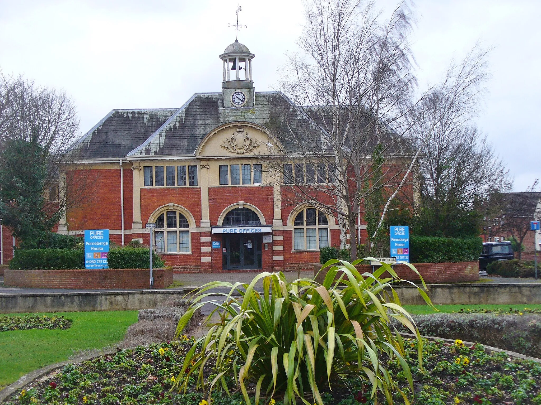
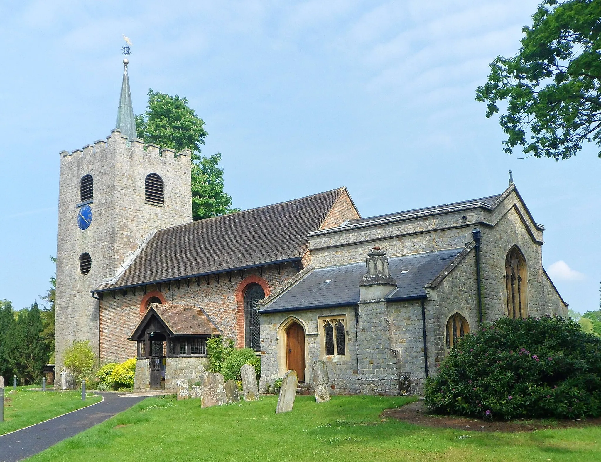
GuildfordTownVisit Guildford, a historic town with a charming High Street and picturesque medieval buildings.
16 km
16 km
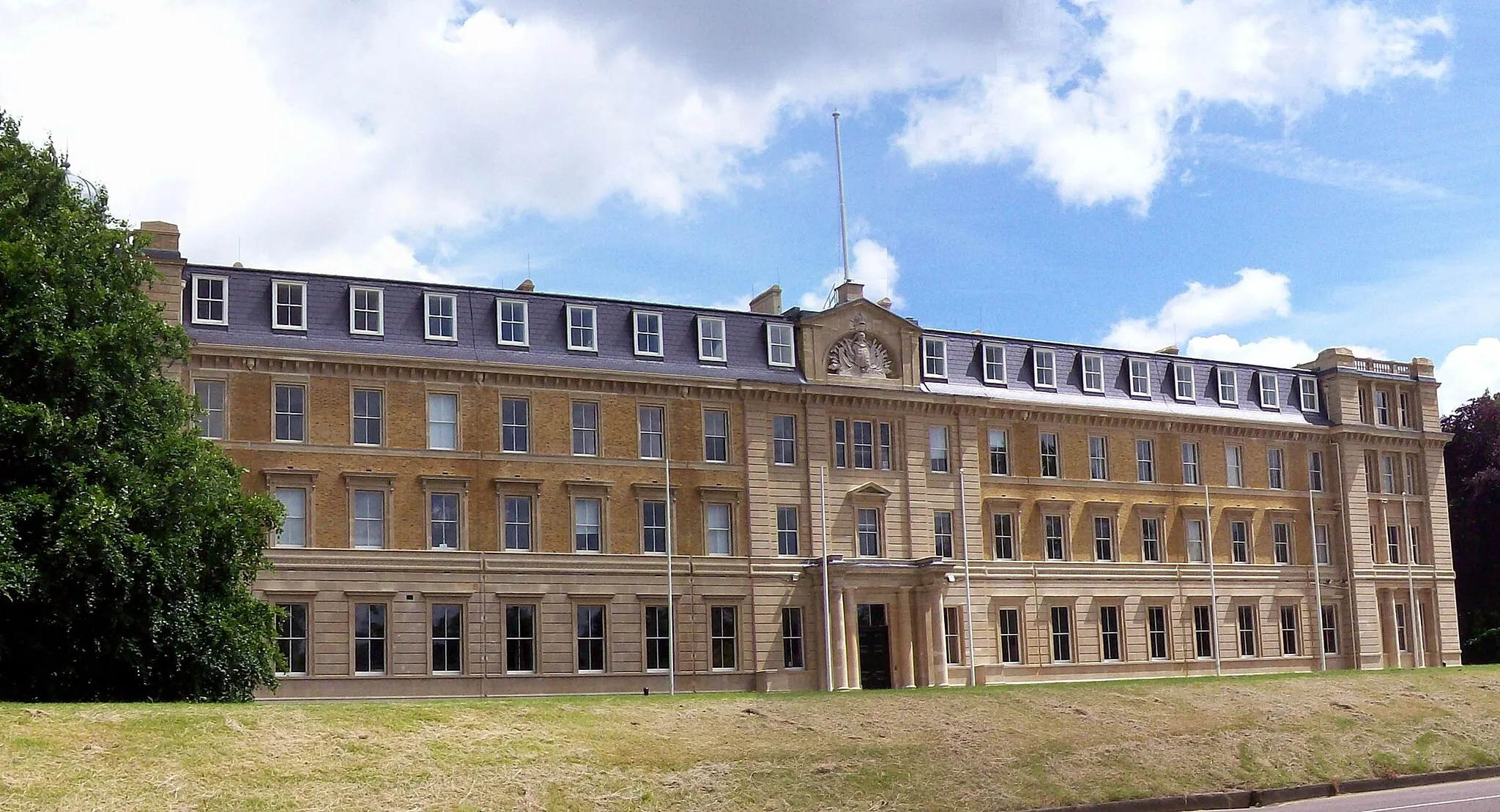
CastleViewpointExplore the castle in Castle, a quaint village with a rich history dating back to the Norman period.
26 km
26 km
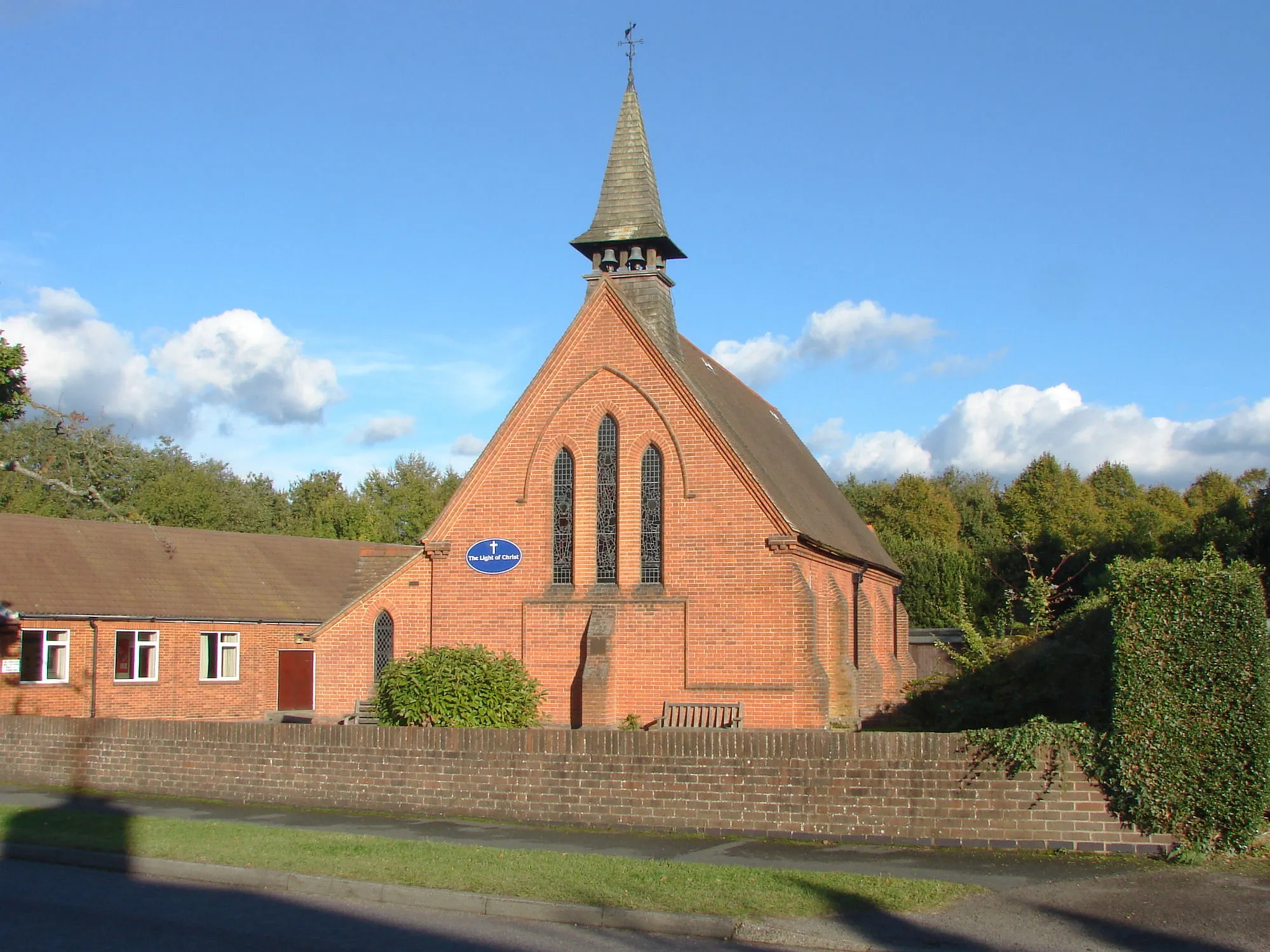
Farley GreenHamletPass through Farley Green and enjoy the serenity of its rolling hills and picturesque landscapes.
31 km
31 km
Pitch Hill257 mPeakCycle through the beautiful surroundings of Pitch Hill and admire its stunning views of the Surrey countryside.
58 km
58 km
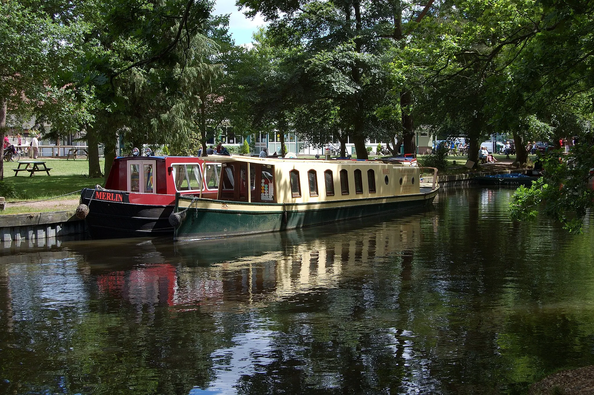
EashingHamletRelax by the river in Eashing and soak in the peaceful atmosphere of this tranquil spot.
77 km
77 km
DeepcutVillageFinish your memorable gravel adventure in Deepcut, surrounded by beautiful countryside.
77 km
77 km
Finish: Deepcut Village centerDeepcut: From Gentle Rides to Summiting the Highest Point in Southeast England
Cycling routes nearby: