Silnice Široka Stříbrná
A gravel cycling route starting from Hranice
A scenic gravel route through the countryside
Map
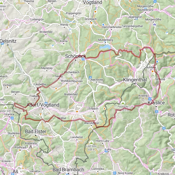
This gravel route offers a scenic journey through the countryside near Hranice. With a total distance of 77 km and an ascent of 1452 m, it is a challenging but rewarding ride for gravel enthusiasts. The route takes you through picturesque villages and along beautiful forest trails. With highlights such as the Alter Söll and Aussichtsturm Remtengrün, this route offers stunning views and interesting spots to explore along the way.
gravel
77 km
1452 m
Tough
Route profile
Highlights on the route
0 km
0 km
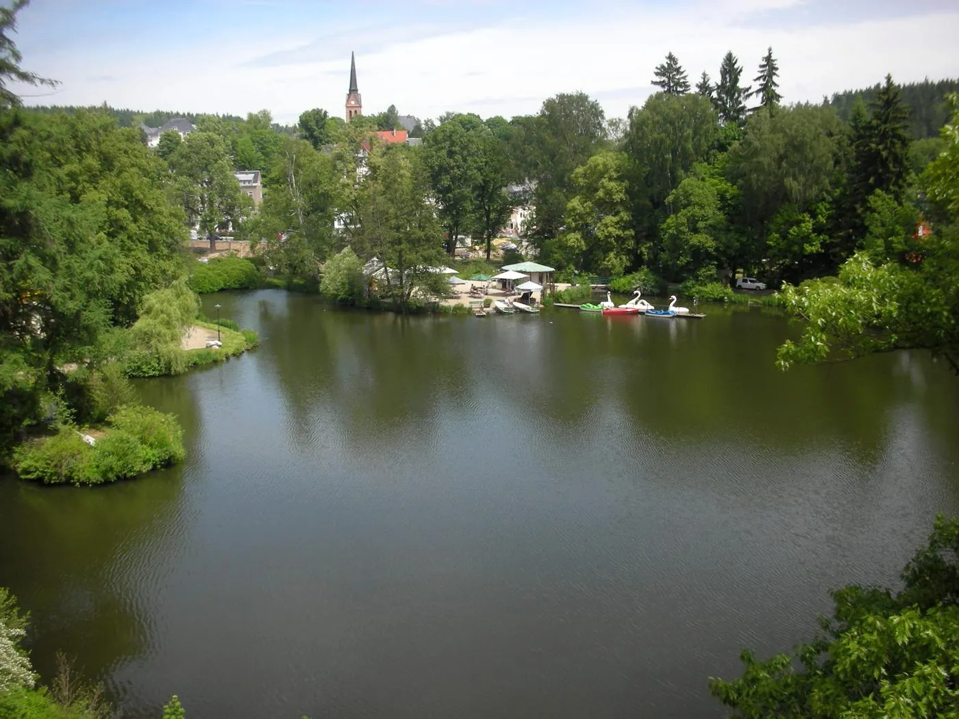
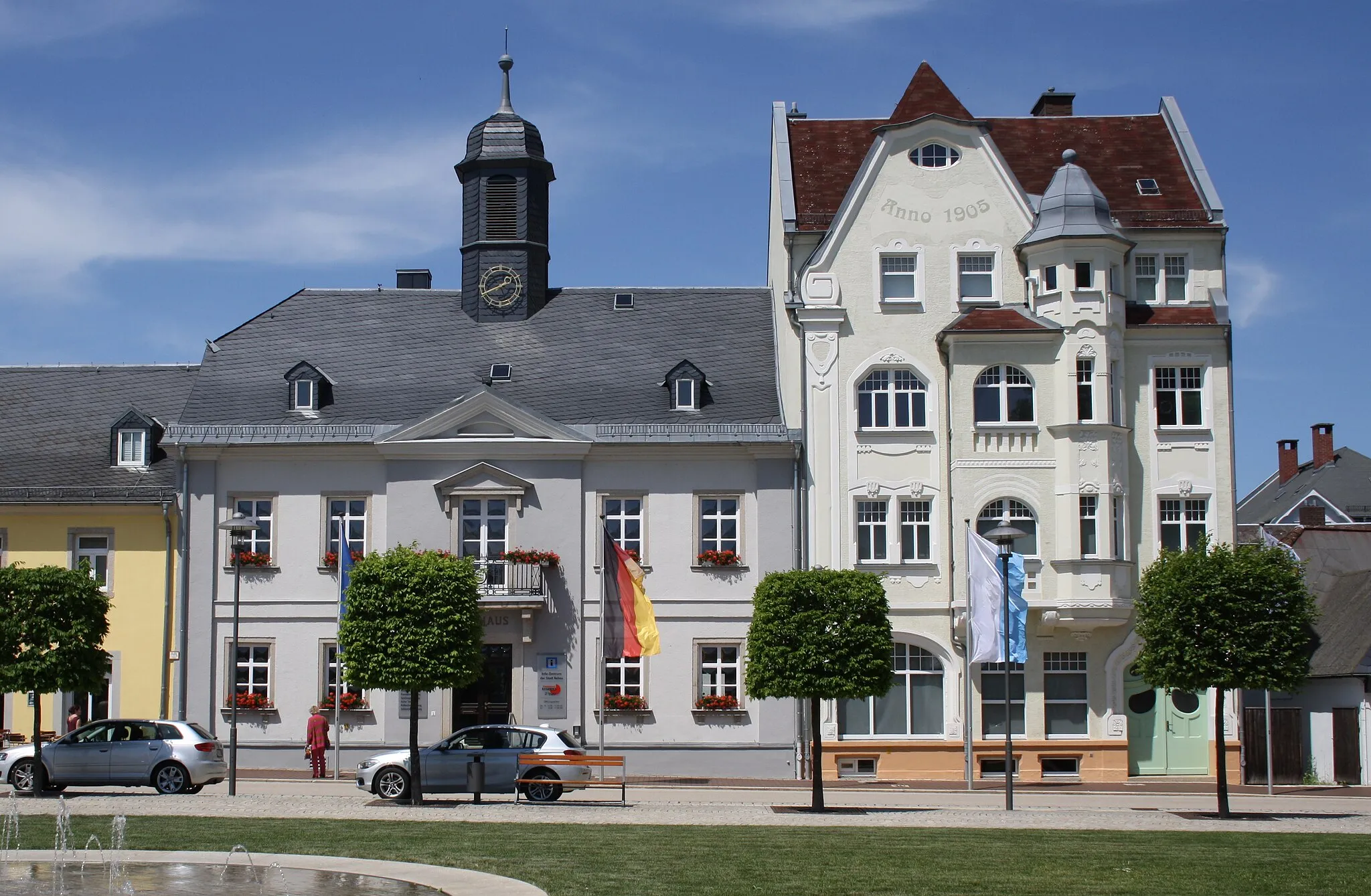
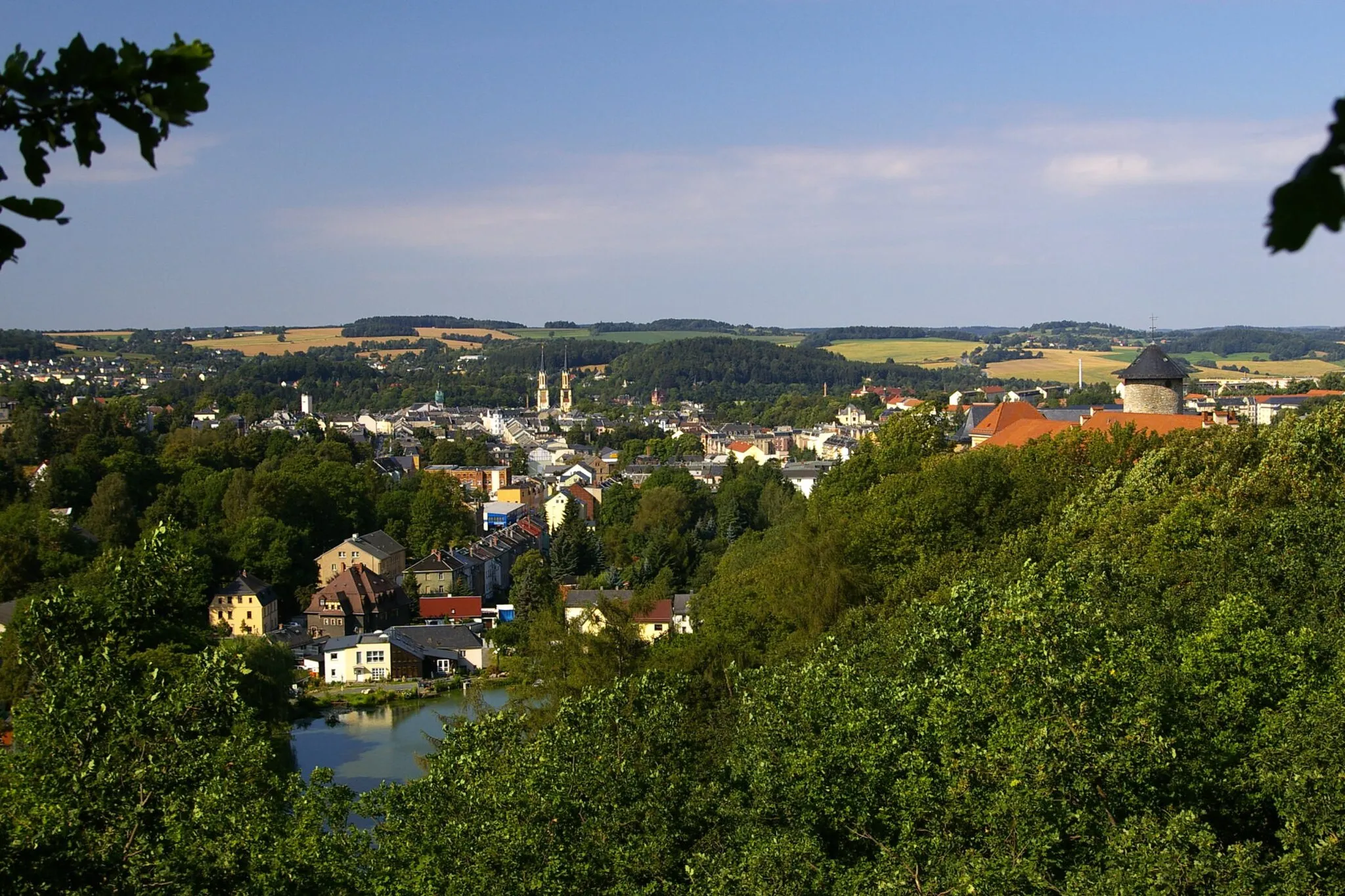
Start: Gettengrün Village centerHranice: A cyclist-friendly locality offering diverse routes and access to famous climbs.
Hranice, situated in the Severozápad region of the Czech Republic, is a cyclist-friendly locality with plenty to offer. The area provides various cycling routes suitable for both road and gravel cyclists, allowing riders to explore the scenic landscapes and enjoy the rolling hills. Hranice is also known as a starting point for several well-known climbs, attracting cyclists looking for more challenging routes. Overall, Hranice offers a diverse and rewarding cycling experience for riders of different skill levels.16 km
16 km
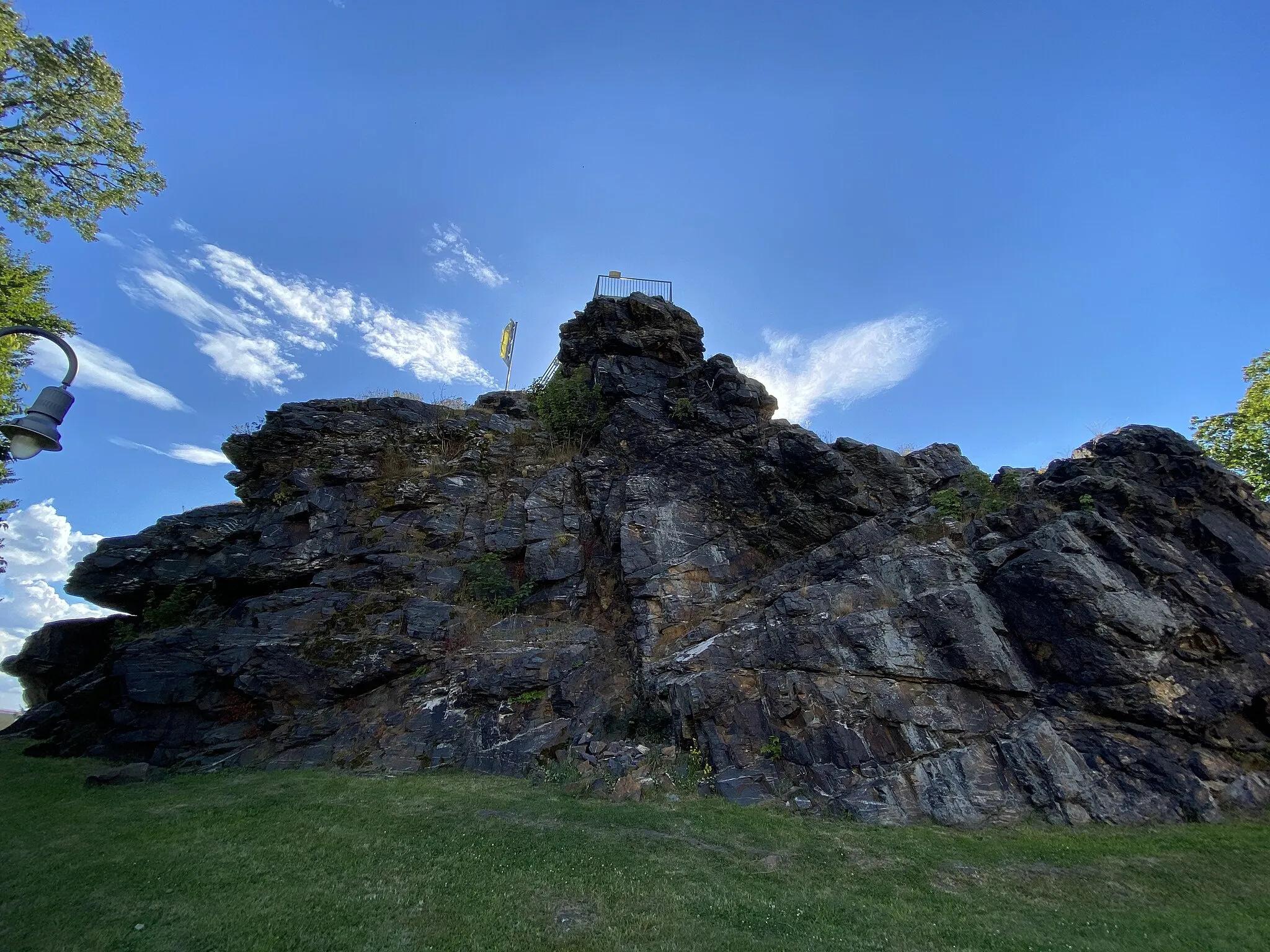
Alter Söll736 mPeak ViewpointThe Alter Söll offers a fantastic panoramic view of the surrounding landscape and is a great place to take a break during the ride.
31 km
31 km
FloßgrabenwegViewpointThe Floßgrabenweg is a historic canal path that provides a unique cycling experience and showcases the region's industrial heritage.
41 km
41 km
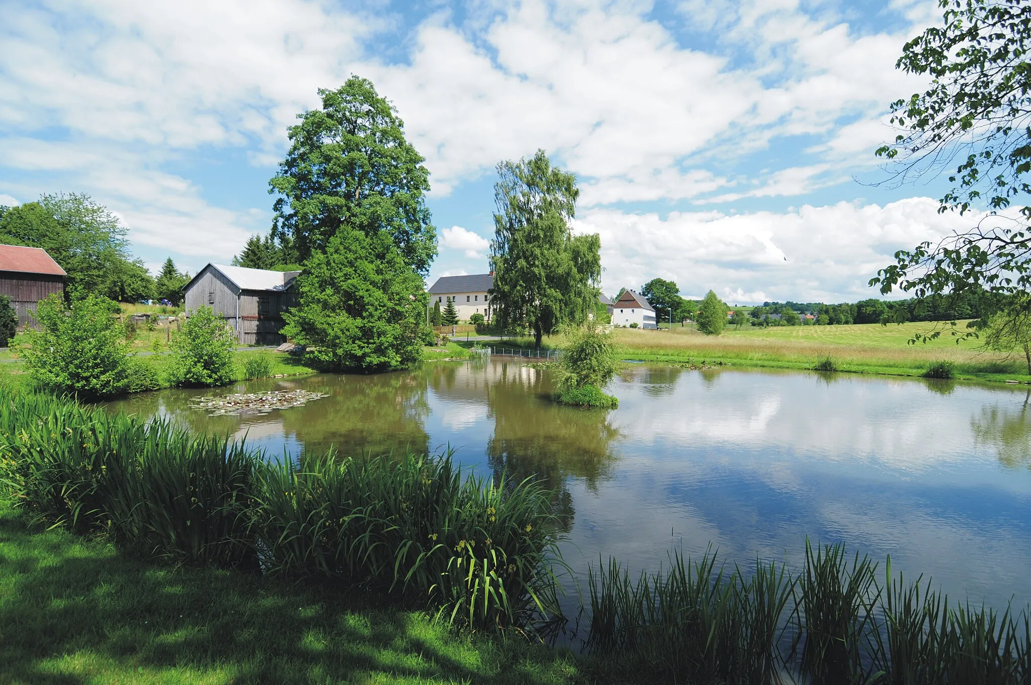
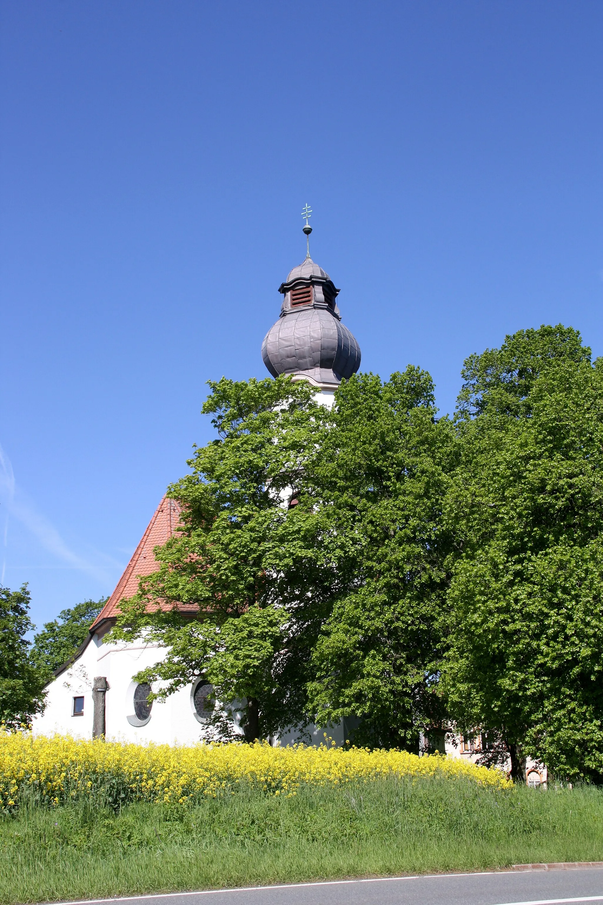
StříbrnáVillageThe village of Stříbrná is known for its traditional architecture and charming atmosphere, making it a great place to stop and explore during the ride.
48 km
48 km
Široký716 mPeakŠiroký is a small village with scenic views and peaceful surroundings, offering a perfect spot for a rest and enjoying the beauty of the Czech countryside.
52 km
52 km
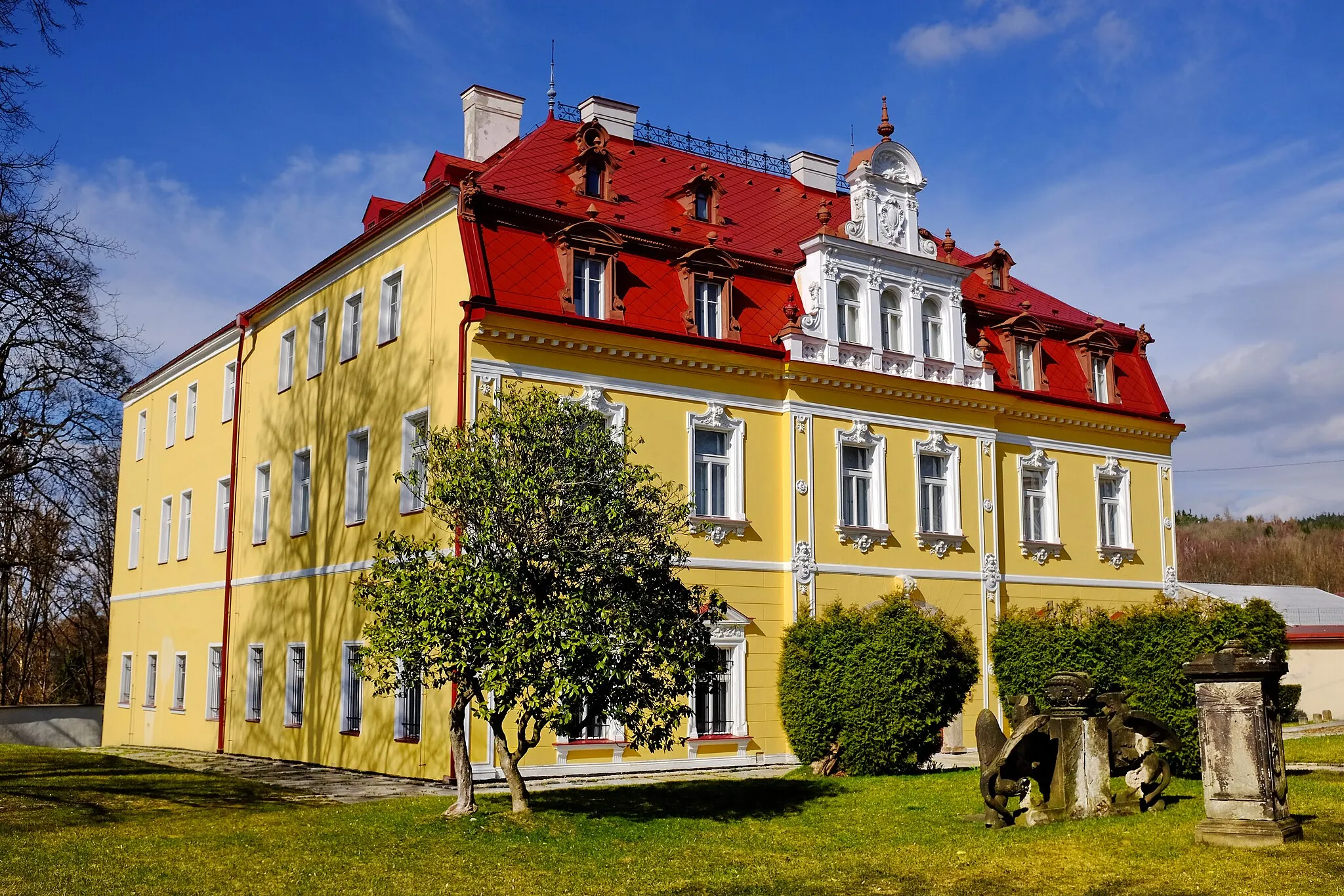
PočátkyHamletThe village of Počátky is home to a historic castle complex that can be visited during the ride, providing an opportunity to immerse in the region's rich history and culture.
65 km
65 km
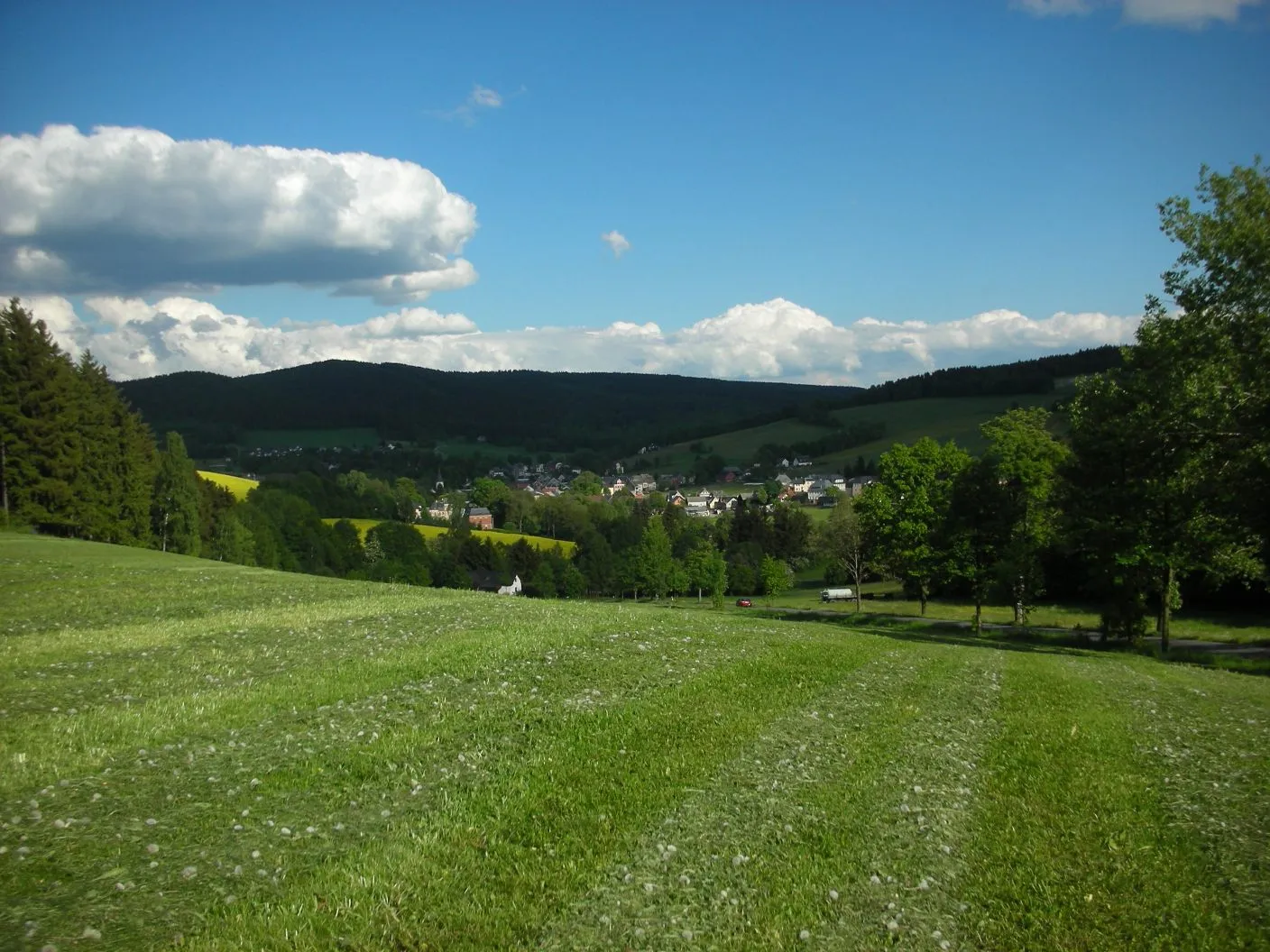
SträßelVillageSträßel is a peaceful village with traditional Czech architecture and beautiful natural surroundings, making it a highlight of this gravel route.
67 km
67 km
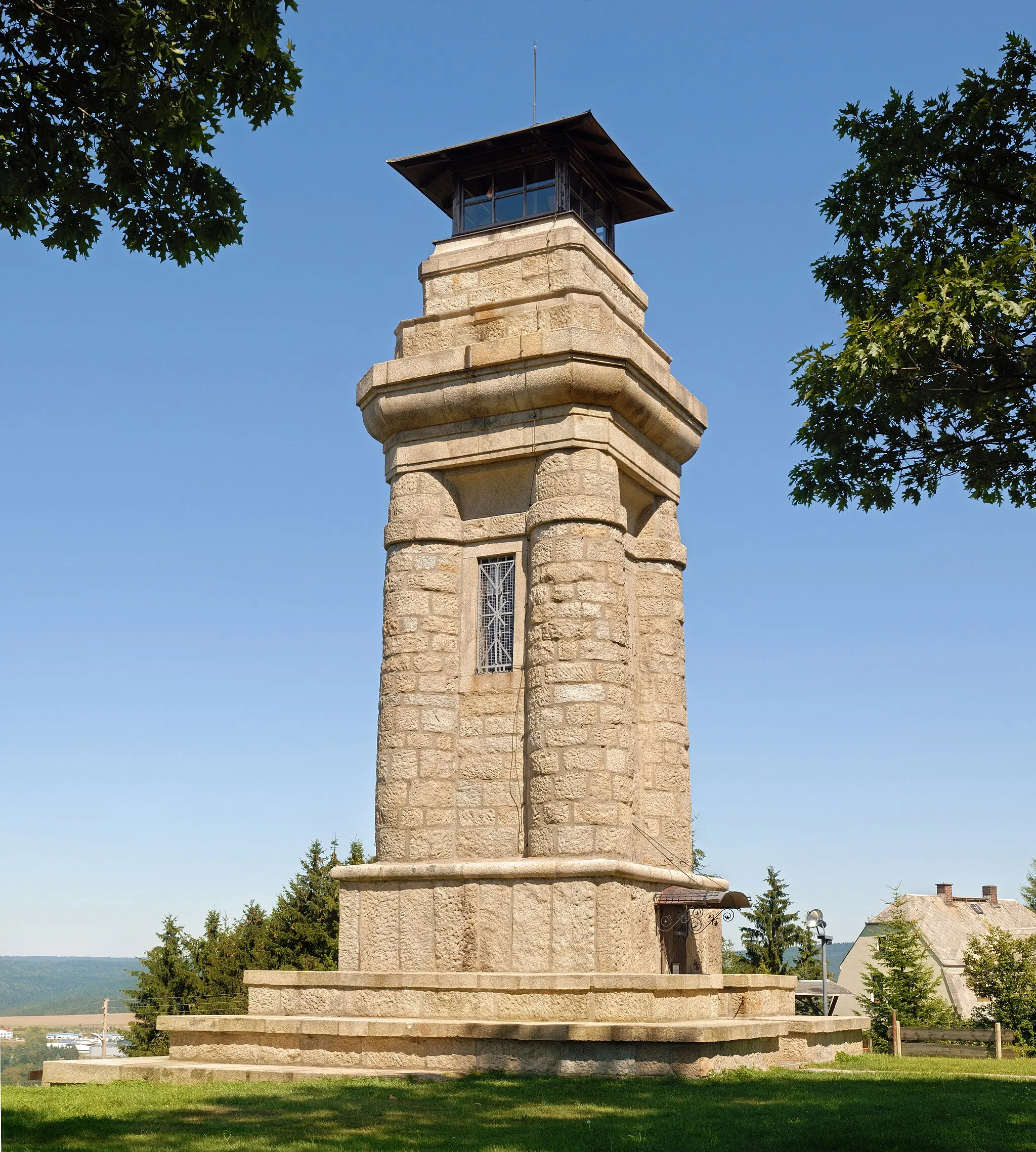
Aussichtsturm RemtengrünViewpointThe Aussichtsturm Remtengrün is a lookout tower that offers breathtaking views of the surrounding countryside, providing a perfect reason to stop and enjoy the scenery.
77 km
77 km
Finish: Gettengrün Village centerHranice: A cyclist-friendly locality offering diverse routes and access to famous climbs.
Cycling routes nearby: