The Scenic Gravel Loop
A gravel cycling route starting from Hranice
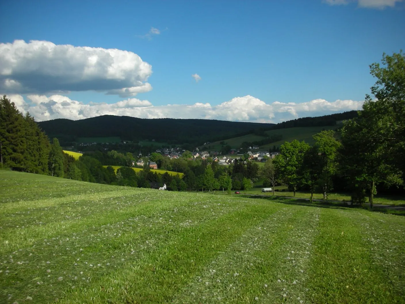
Explore the scenic beauty of Oberweißenbach in this 57km gravel route
Map
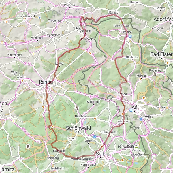
This gravel route spans 57km and features an ascent of 763m. The highlight of the route is the picturesque village of Oberweißenbach, known for its stunning natural beauty. Other notable highlights include U Lomu, Wildenau, Oberweißenbach, Steinhölle, Oberprex, and Planina.
gravel
57 km
763 m
Chill
Route profile
Highlights on the route
0 km
0 km
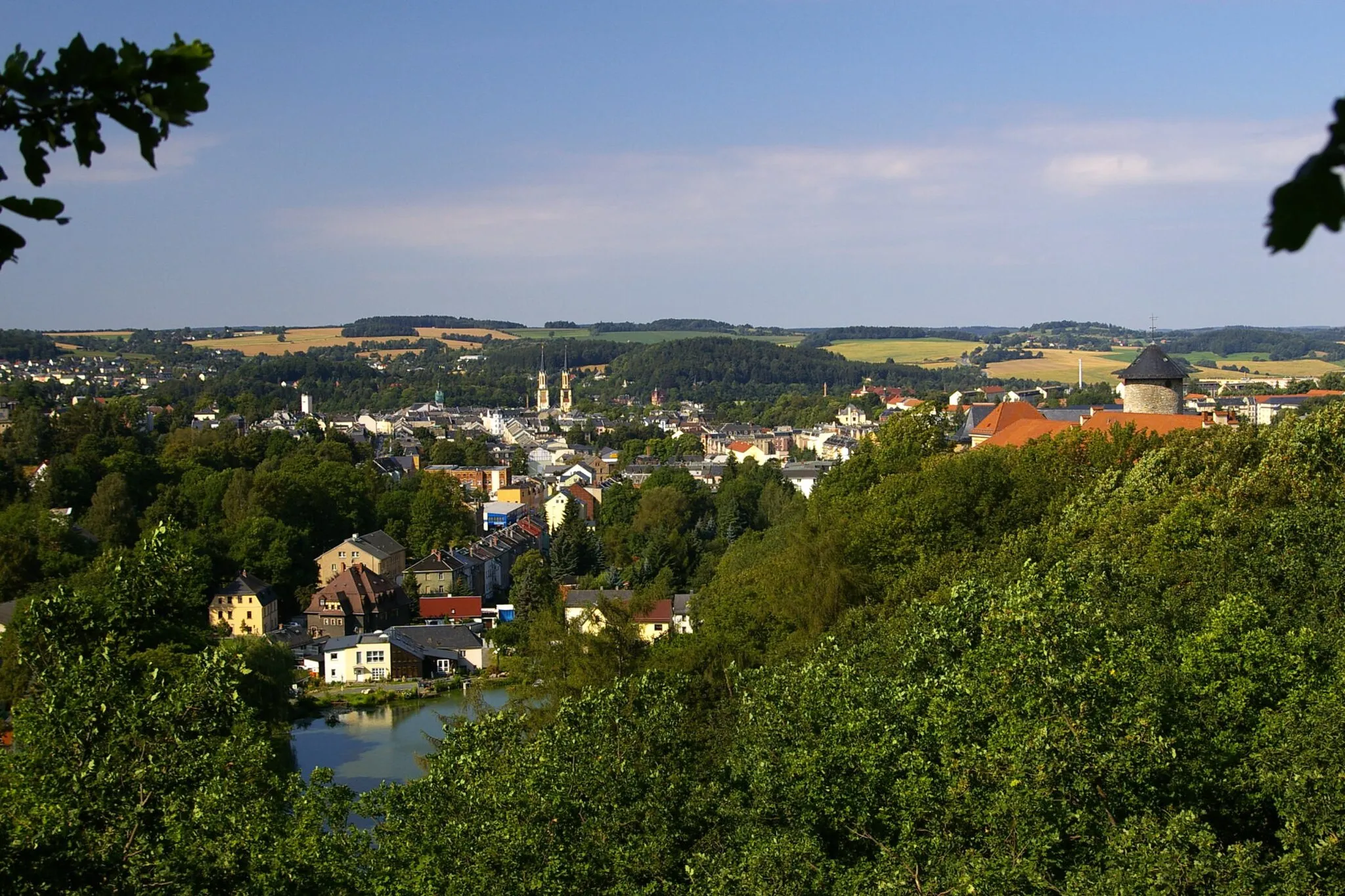
Start: Hranice Village centerHranice: A cyclist-friendly locality offering diverse routes and access to famous climbs.
Hranice, situated in the Severozápad region of the Czech Republic, is a cyclist-friendly locality with plenty to offer. The area provides various cycling routes suitable for both road and gravel cyclists, allowing riders to explore the scenic landscapes and enjoy the rolling hills. Hranice is also known as a starting point for several well-known climbs, attracting cyclists looking for more challenging routes. Overall, Hranice offers a diverse and rewarding cycling experience for riders of different skill levels.7 km
7 km
U Lomu707 mPeakStop at U Lomu, a scenic spot surrounded by lush greenery, perfect for a quick break.
14 km
14 km
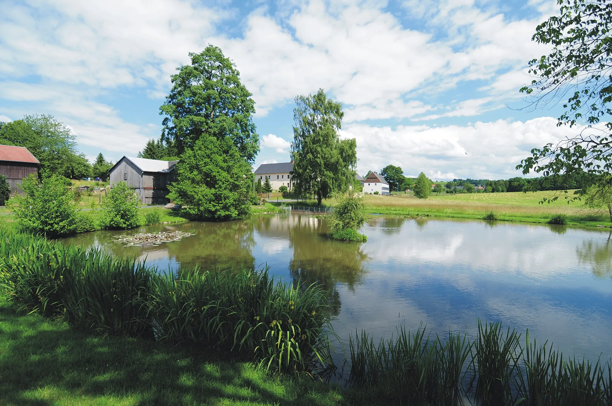
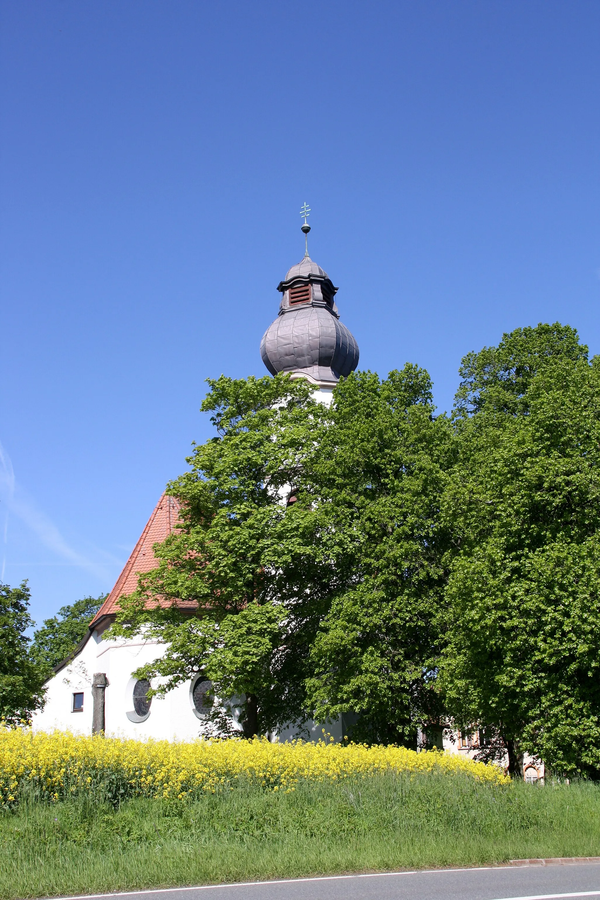
WildenauVillageExplore the charming village of Wildenau and experience its genuine rural ambiance.
22 km
22 km
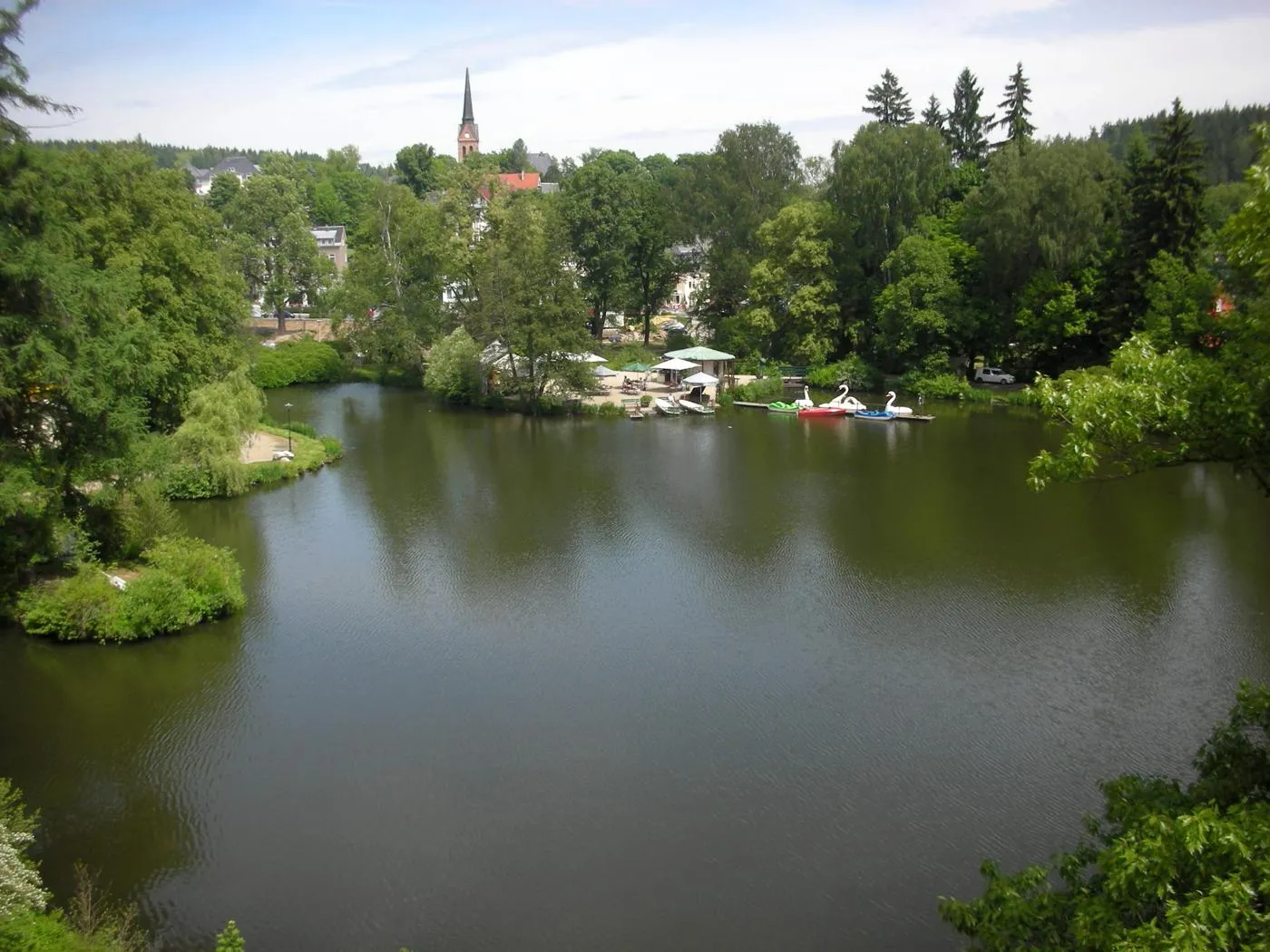
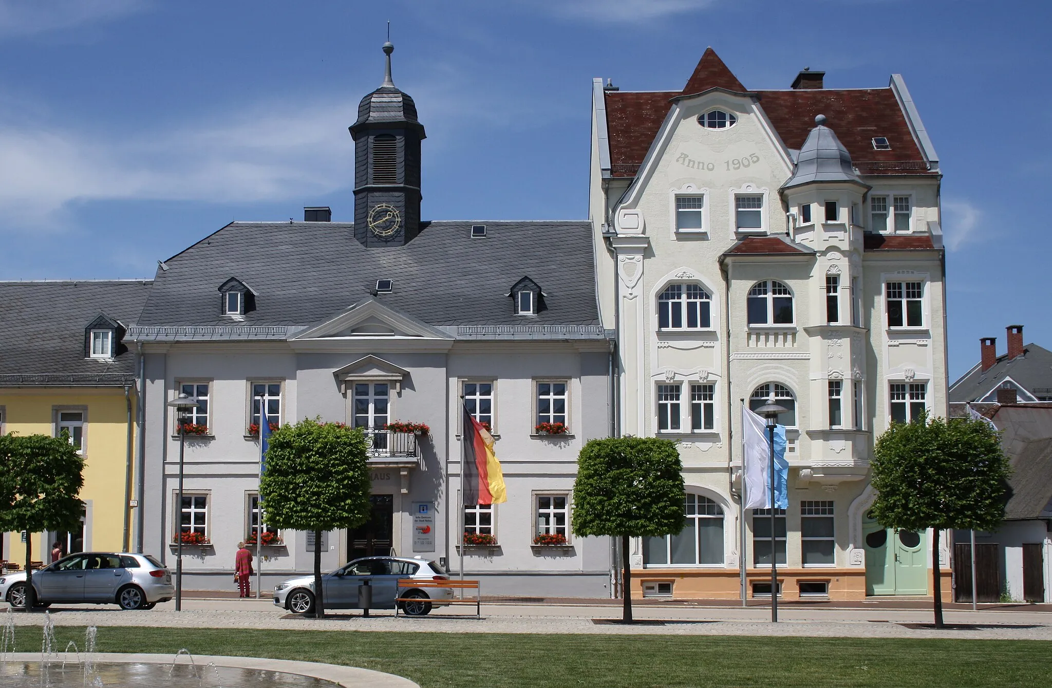
OberweißenbachVillagePass through Oberweißenbach and marvel at its well-preserved Bavarian architecture.
29 km
29 km
Steinhölle720 mPeakVisit Steinhölle, a natural rock formation known for its beauty and tranquility.
45 km
45 km
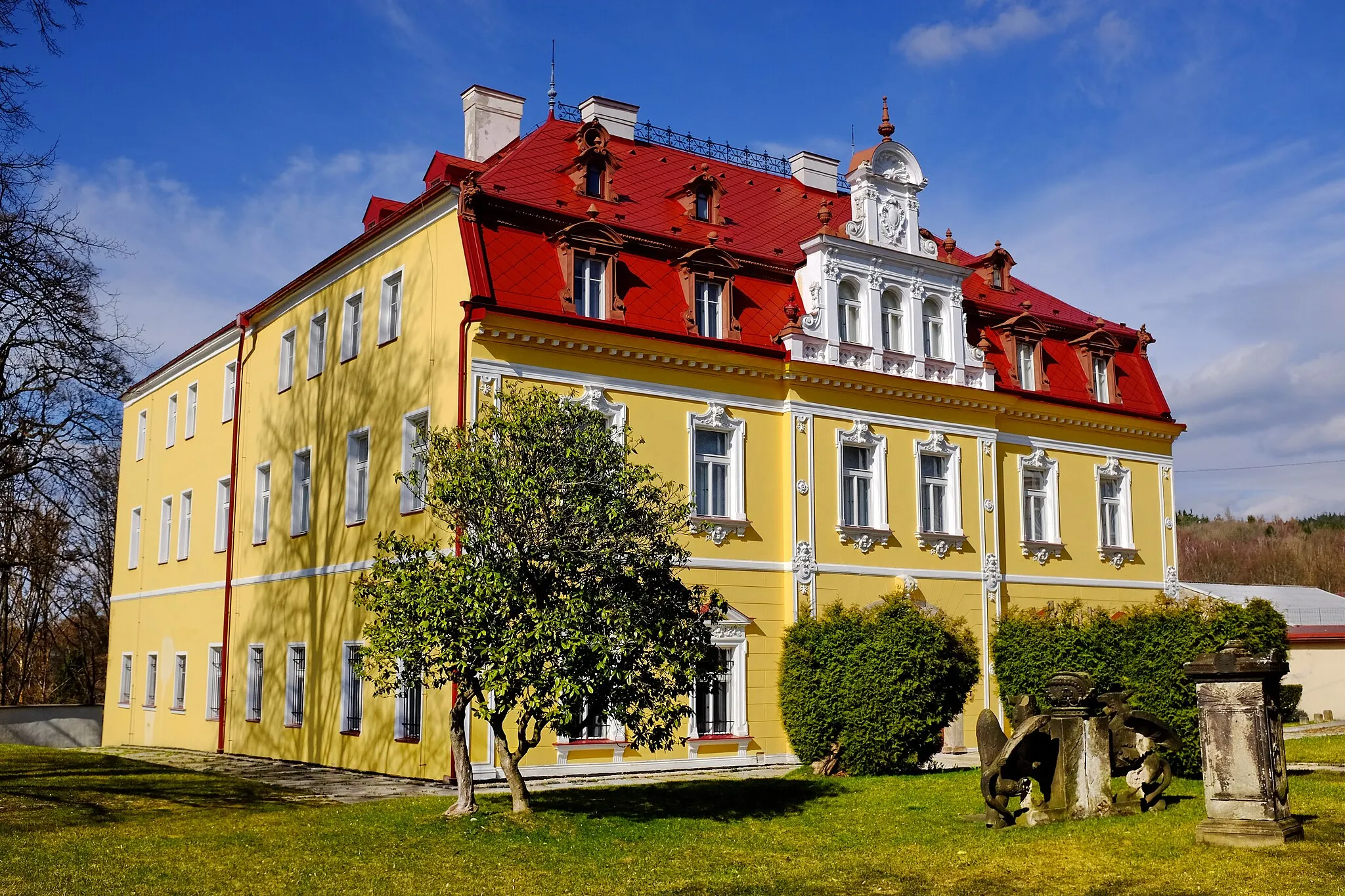
OberprexVillageCycle through Oberprex and enjoy the scenic views of its rolling hills.
55 km
55 km
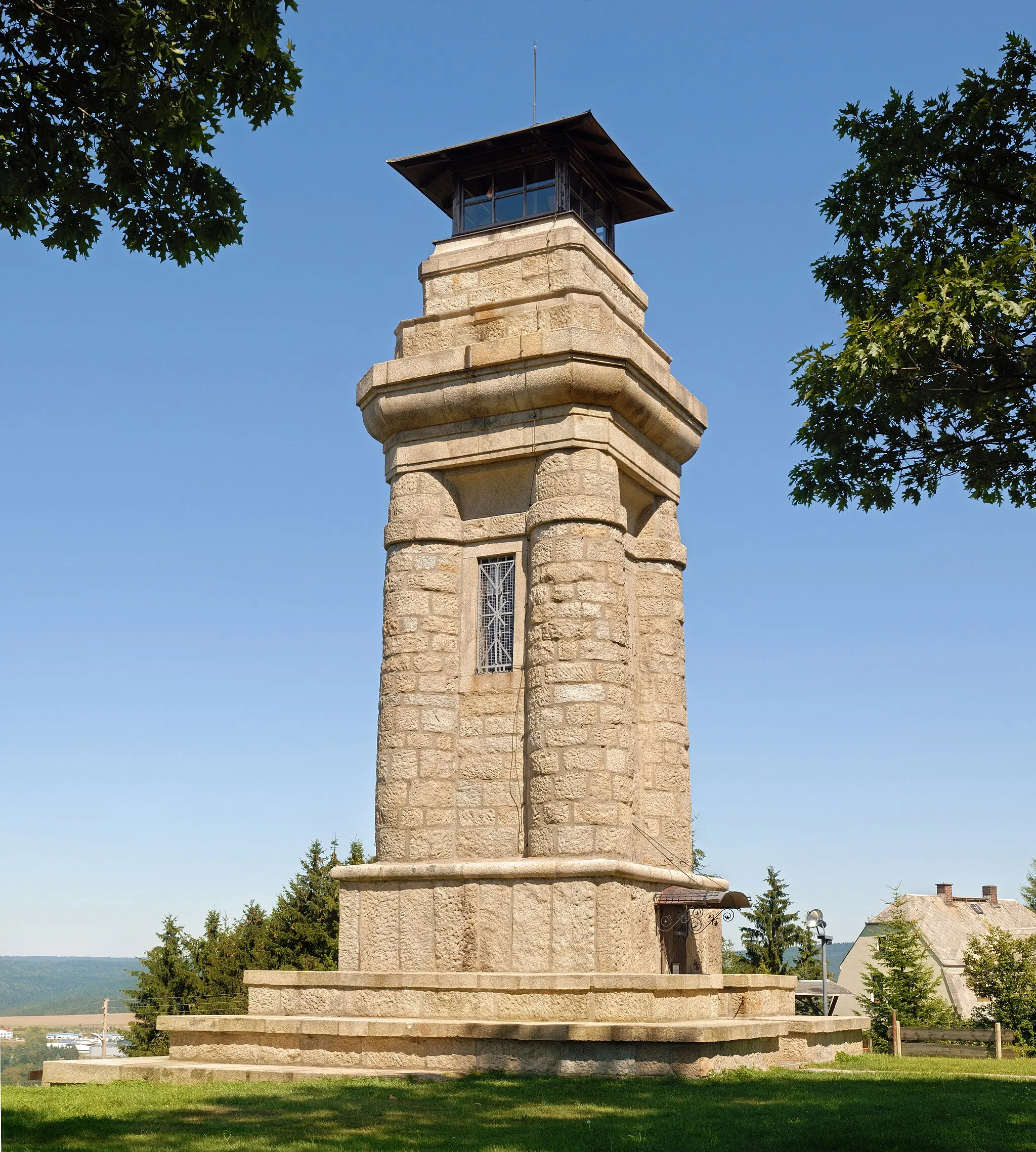
Planina638 mPeakConquer the climb up to Planina and be rewarded with panoramic views of the landscape.
57 km
57 km
Finish: Hranice Village centerHranice: A cyclist-friendly locality offering diverse routes and access to famous climbs.
Cycling routes nearby: