The Gettengrün Gravel Loop
A gravel cycling route starting from Hranice
Discover the hidden gem of Gettengrün on this 80km gravel route
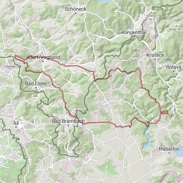
Map
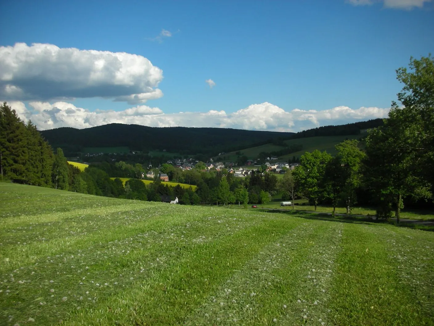
This route takes you through picturesque gravel roads and fantastic landscapes, with a total ascent of 1383m. The highlight of this route is the charming village of Gettengrün, where you can stop and enjoy the tranquility before continuing your adventure.
gravel
80 km
1383 m
Tough
Route profile
Highlights on the route
0 km
0 km
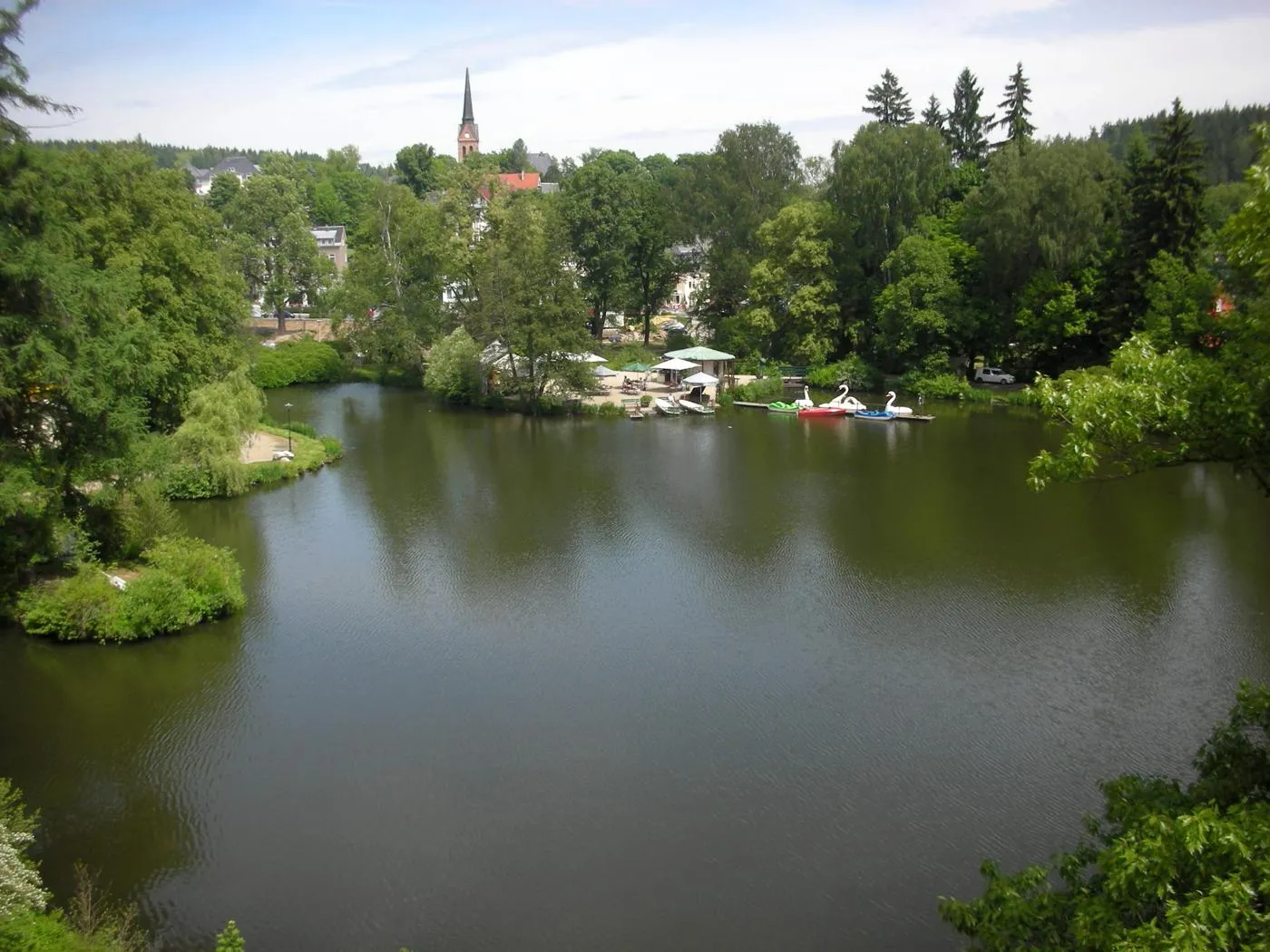
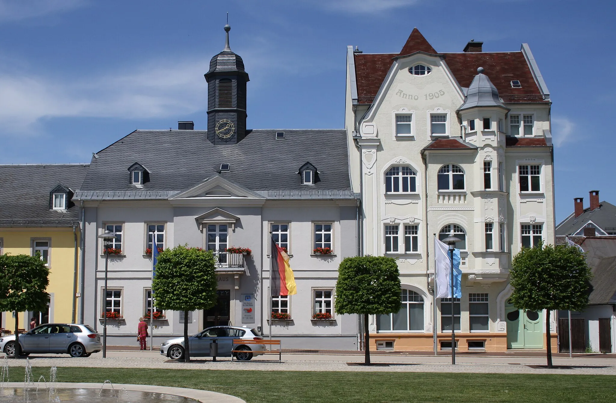
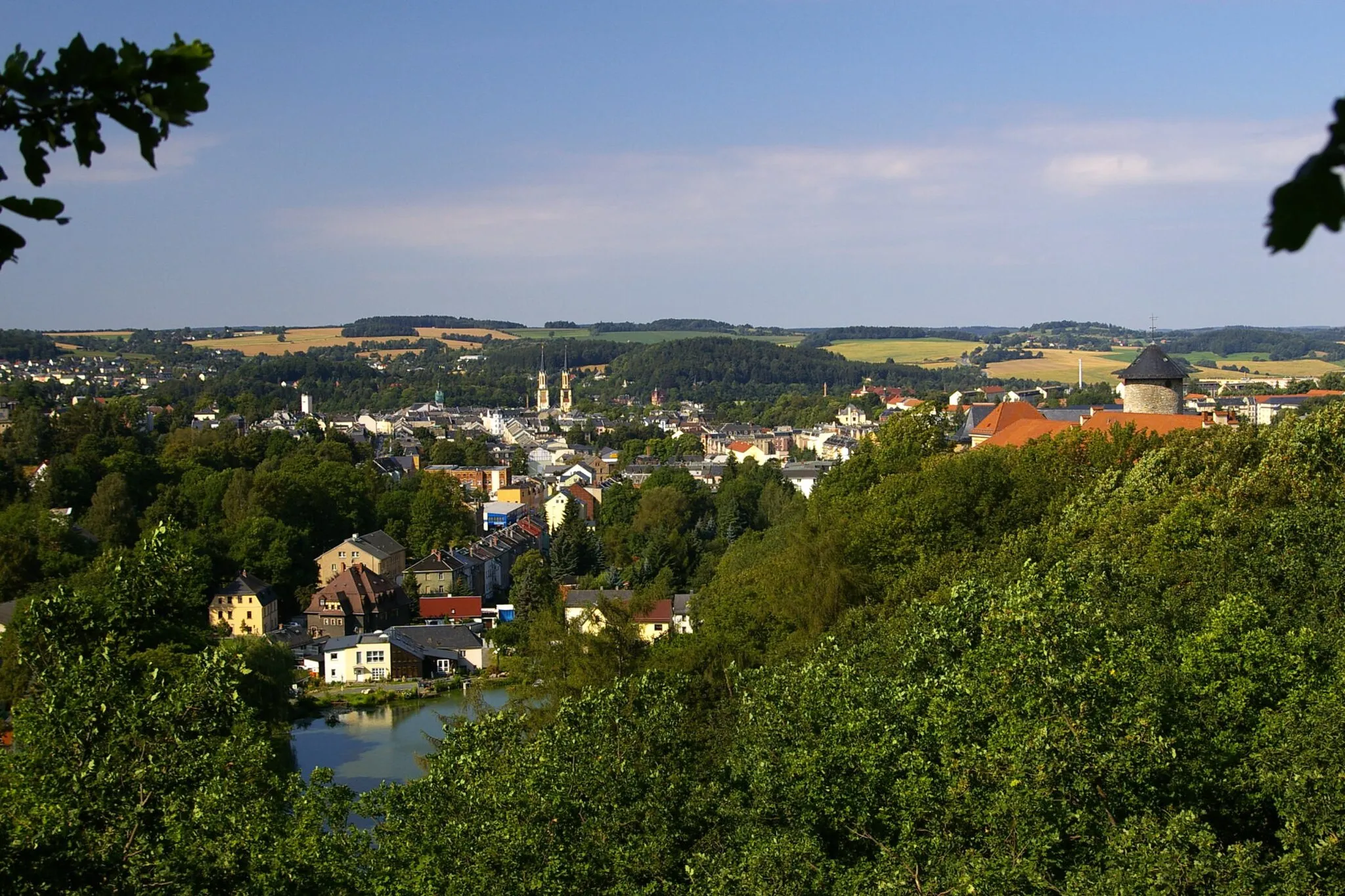
Start: Gettengrün Village centerHranice: A cyclist-friendly locality offering diverse routes and access to famous climbs.
Hranice, situated in the Severozápad region of the Czech Republic, is a cyclist-friendly locality with plenty to offer. The area provides various cycling routes suitable for both road and gravel cyclists, allowing riders to explore the scenic landscapes and enjoy the rolling hills. Hranice is also known as a starting point for several well-known climbs, attracting cyclists looking for more challenging routes. Overall, Hranice offers a diverse and rewarding cycling experience for riders of different skill levels.0 km
0 km
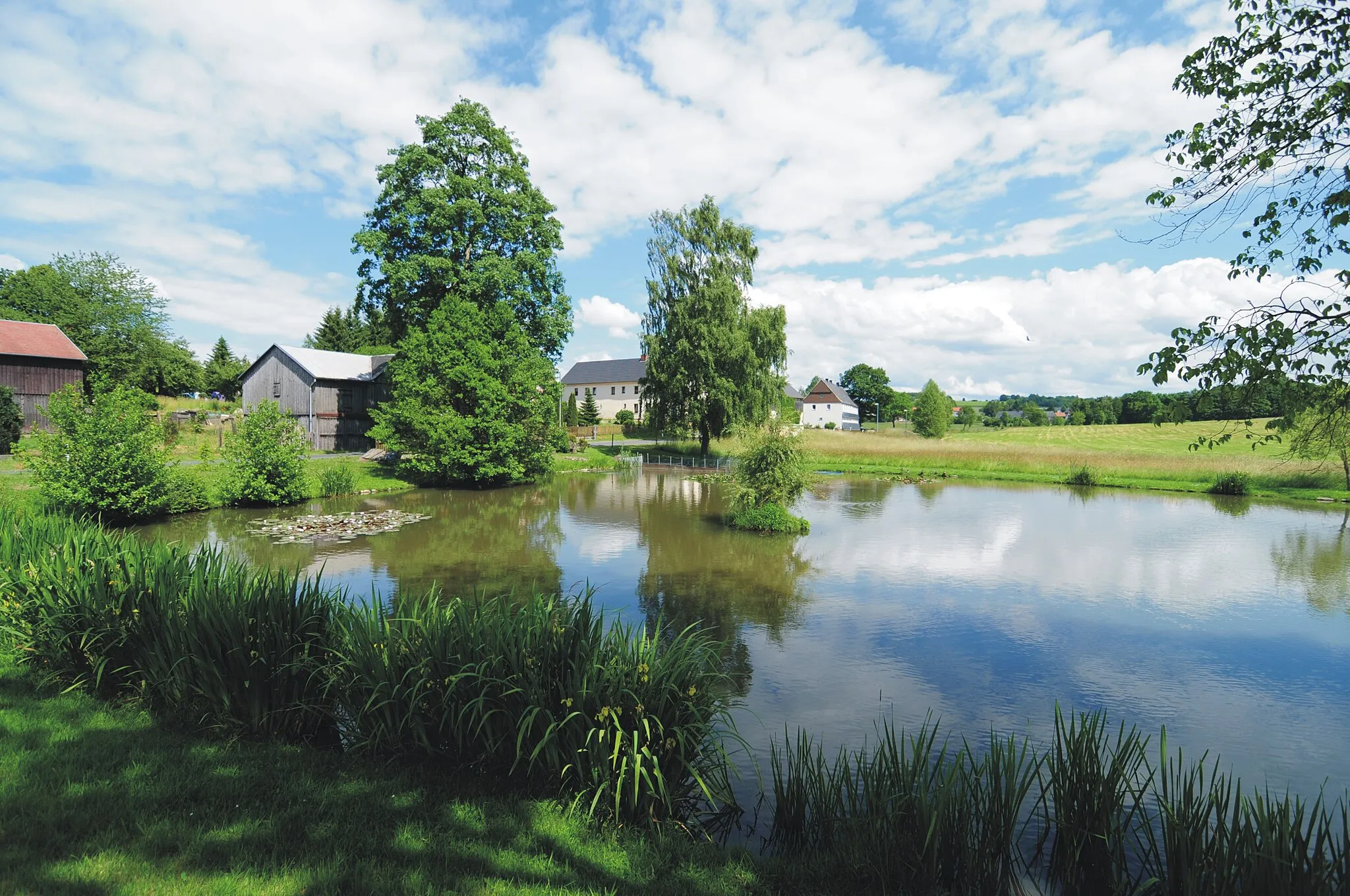
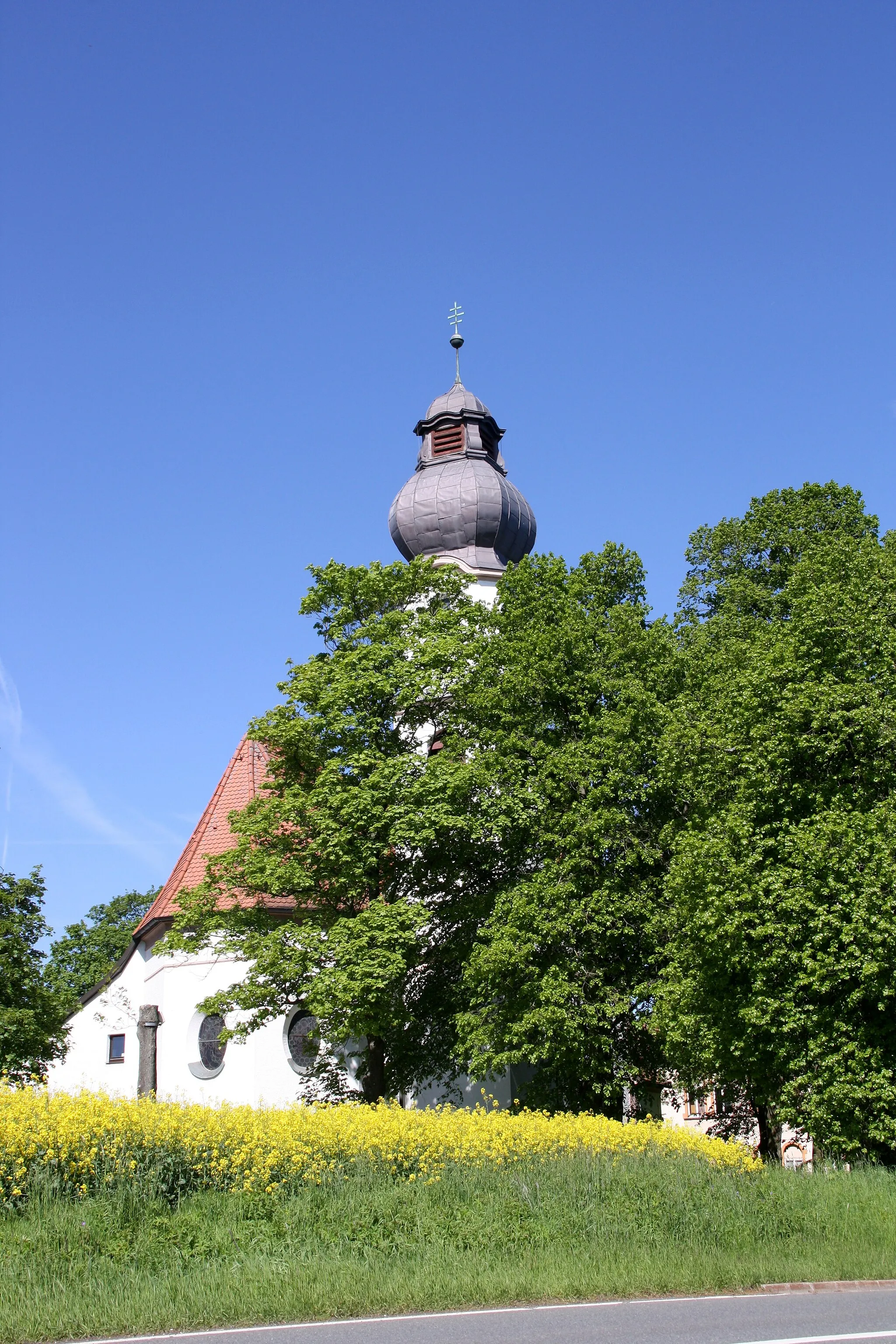
GettengrünVillageVisit Gettengrün, a quaint village tucked away in the countryside.
11 km
11 km
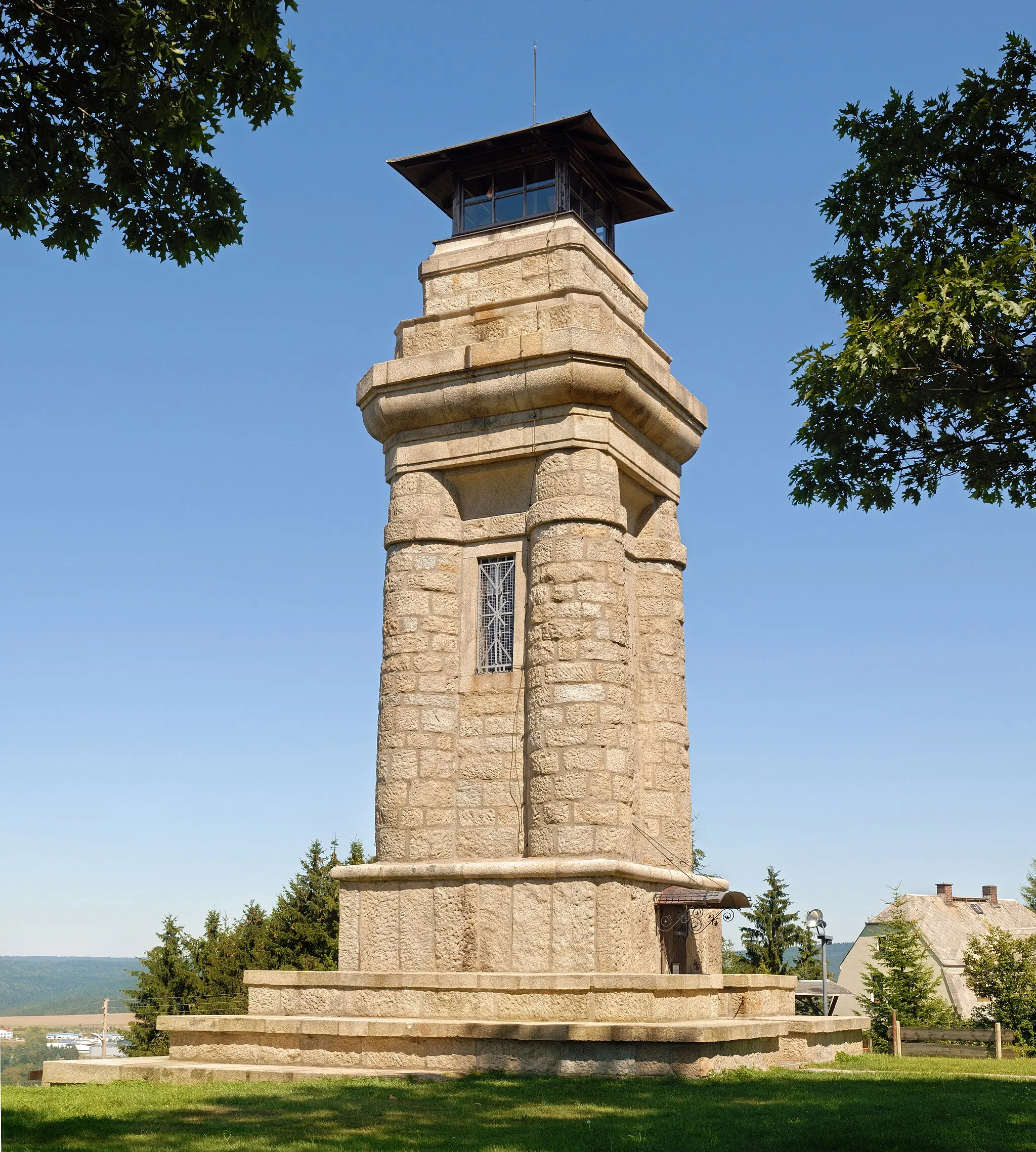
Galgenberg558 mPeakClimb up to Galgenberg and enjoy breathtaking views of the surrounding area.
11 km
11 km
MarkneukirchenTownPass through Markneukirchen, known for its rich musical heritage.
20 km
20 km
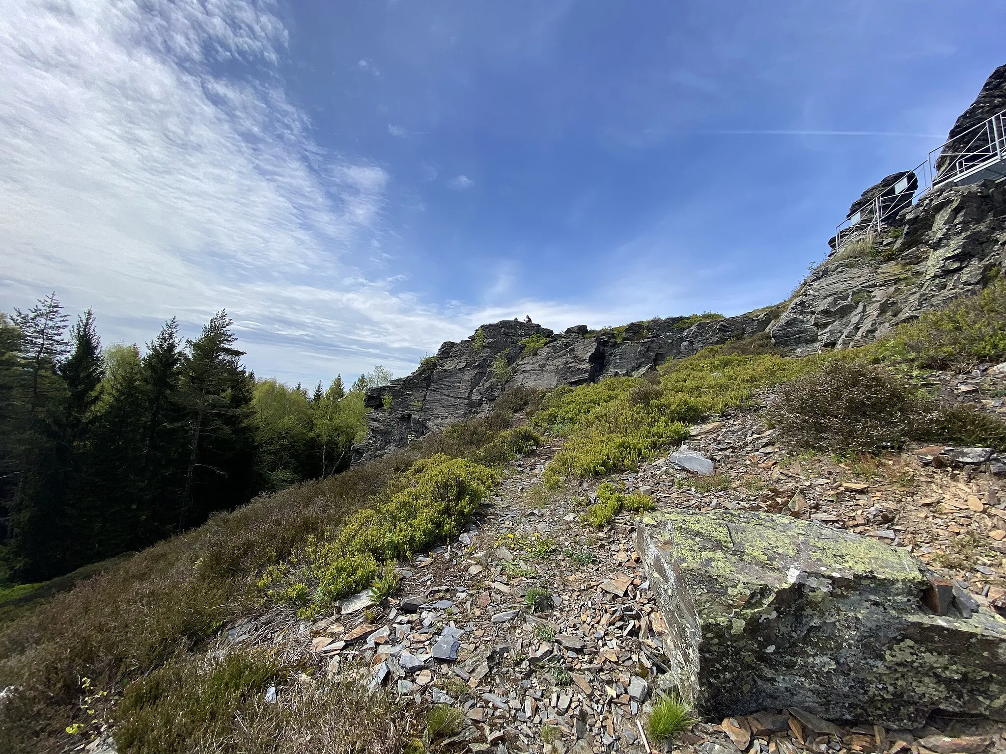
Vysoký kámen – Vyhlídková skála773 mPeak ViewpointStop at Vysoký kámen, a viewpoint overlooking the scenic landscape.
22 km
22 km
PočátkyHamletExplore the historical town of Počátky and learn about its fascinating history.
38 km
38 km
šibeniční vrch665 mPeakConquer the challenging climb up šibeniční vrch, or Gallows Hill.
41 km
41 km
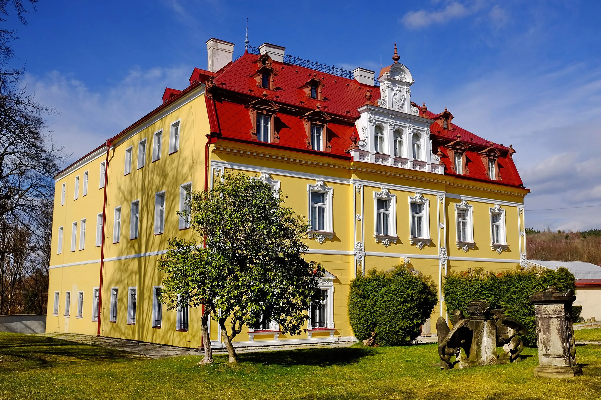
LibnovHamletMake a detour to Libnov and explore its beautiful castle ruins.
56 km
56 km
LomničkaVillageDiscover the Lomnička quarry and take a break by the crystal clear lake.
69 km
69 km
SohlVillageDon't miss Sohl, a quaint village surrounded by lush green hills.
71 km
71 km
RundschauViewpointStop by Rundschau, a popular viewpoint offering stunning vistas.
80 km
80 km
Finish: Gettengrün Village centerHranice: A cyclist-friendly locality offering diverse routes and access to famous climbs.
Cycling routes nearby: