The Wildenau Challenge
A road cycling route starting from Hranice
Embark on a challenging road ride through the scenic Wildenau region, known for its stunning landscapes and historic sites.
Map

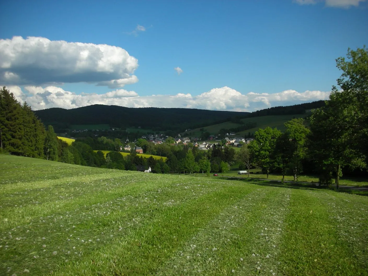
The Wildenau Challenge is a 77 km road route that takes you through the beautiful Wildenau region. This ride offers a mix of challenging climbs and fast descents, with stunning views of the surrounding countryside. Along the way, you will pass through charming villages and encounter historic sites that showcase the rich heritage of the region.
road
77 km
997 m
Tough
Route profile
Highlights on the route
0 km
0 km
Start: Gettengrün Village centerHranice: A cyclist-friendly locality offering diverse routes and access to famous climbs.
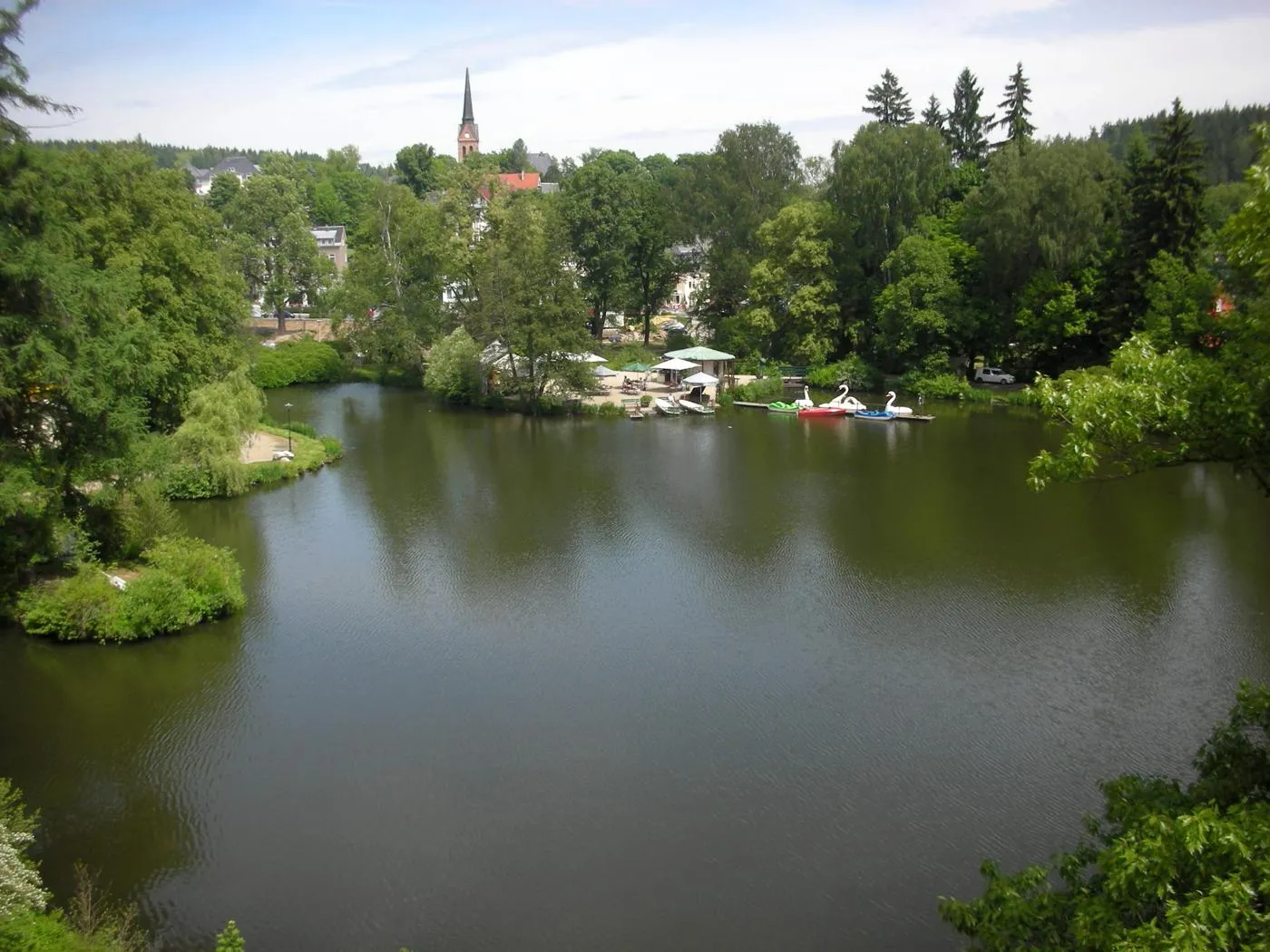
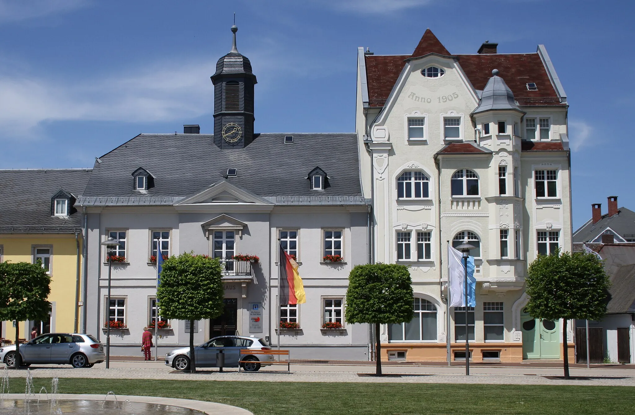
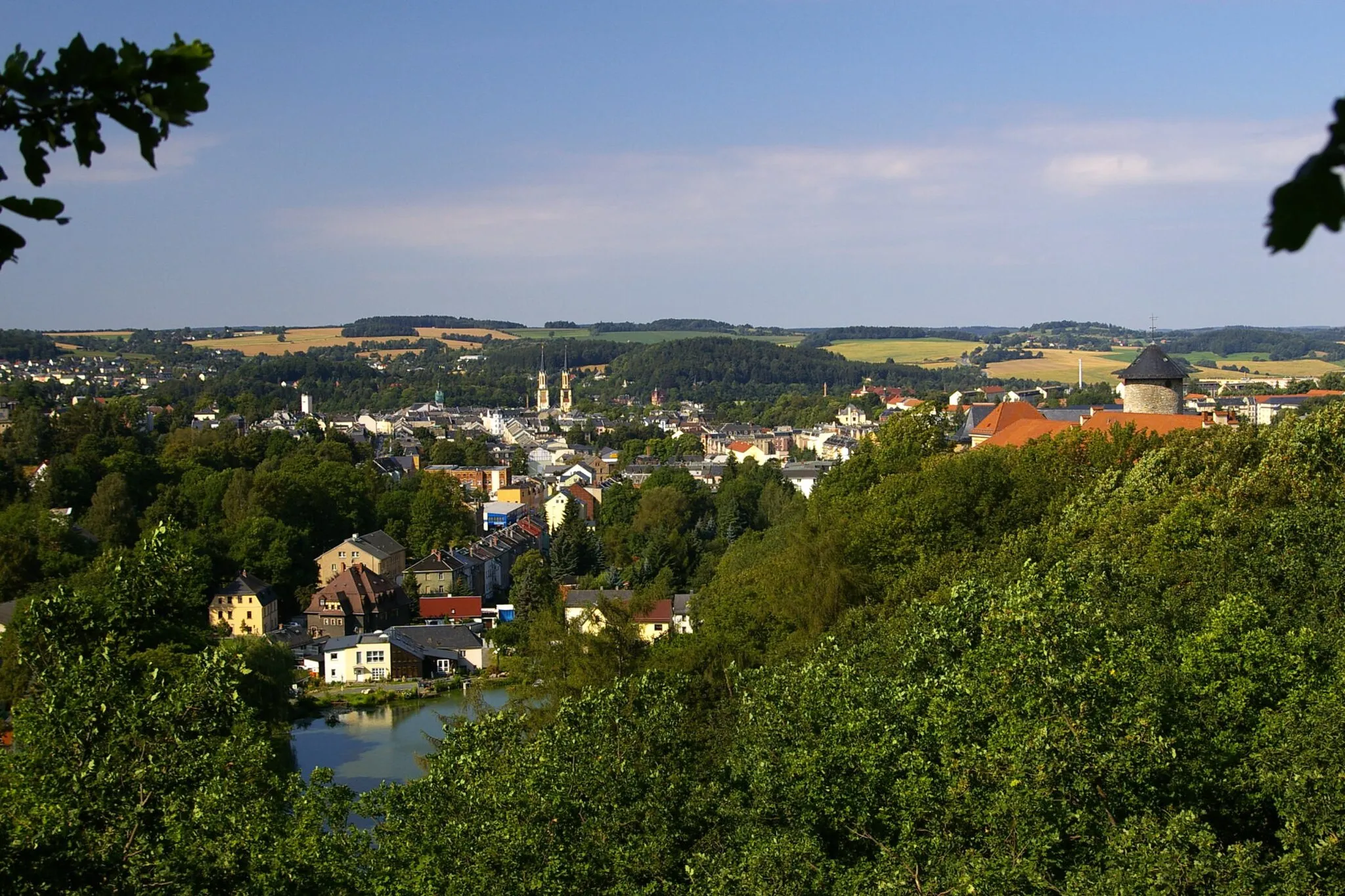
Hranice, situated in the Severozápad region of the Czech Republic, is a cyclist-friendly locality with plenty to offer. The area provides various cycling routes suitable for both road and gravel cyclists, allowing riders to explore the scenic landscapes and enjoy the rolling hills. Hranice is also known as a starting point for several well-known climbs, attracting cyclists looking for more challenging routes. Overall, Hranice offers a diverse and rewarding cycling experience for riders of different skill levels.2 km
2 km
Planina638 mPeakPlanina is the starting point of this route.
17 km
17 km
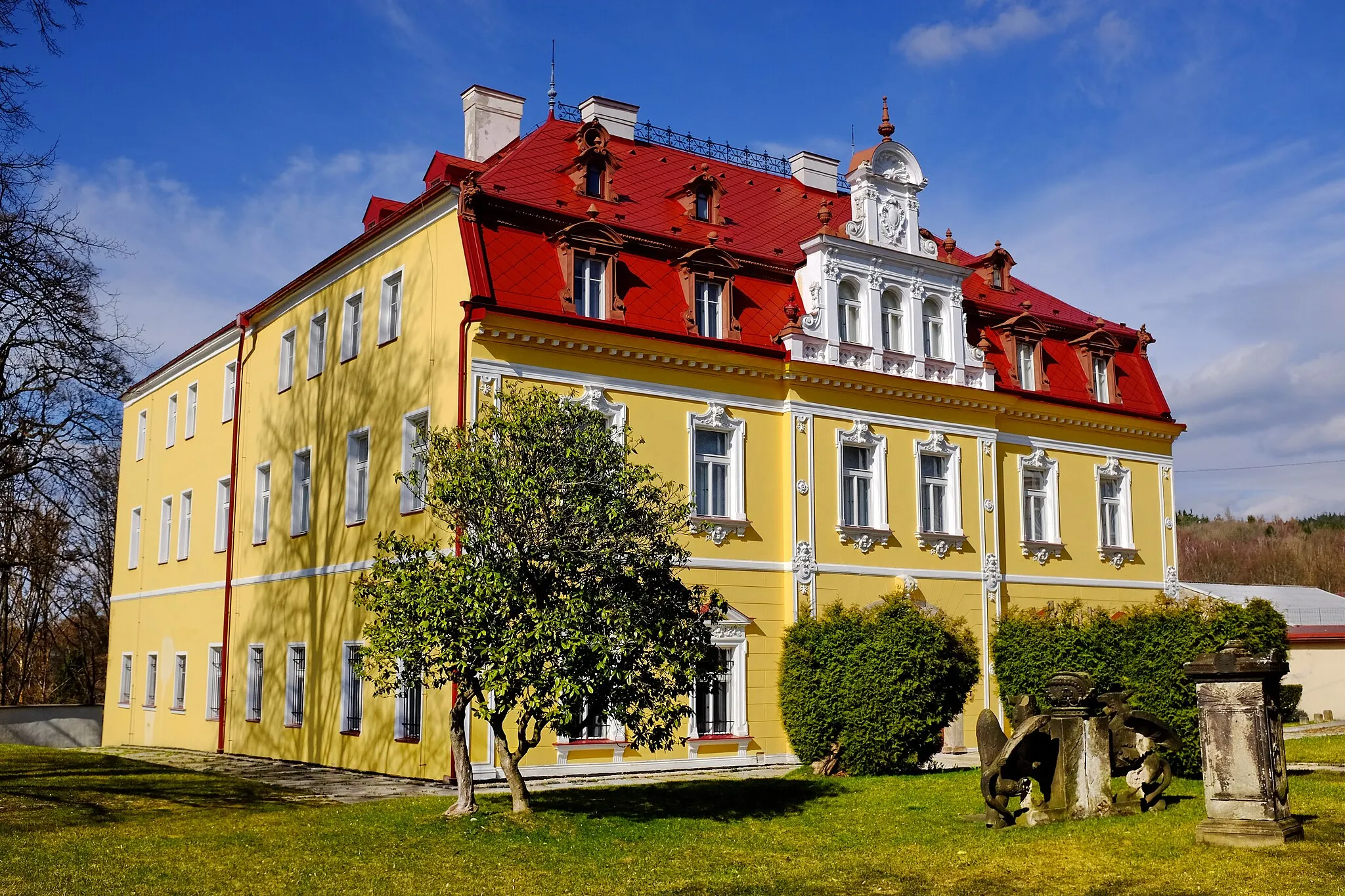
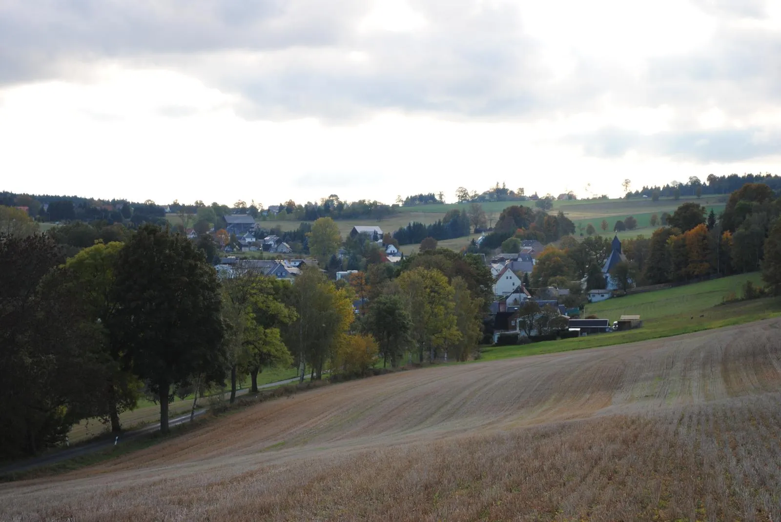
WildenauVillageAt 17 km, you will pass by Wildenau Castle, a historic landmark with a fascinating history.
29 km
29 km
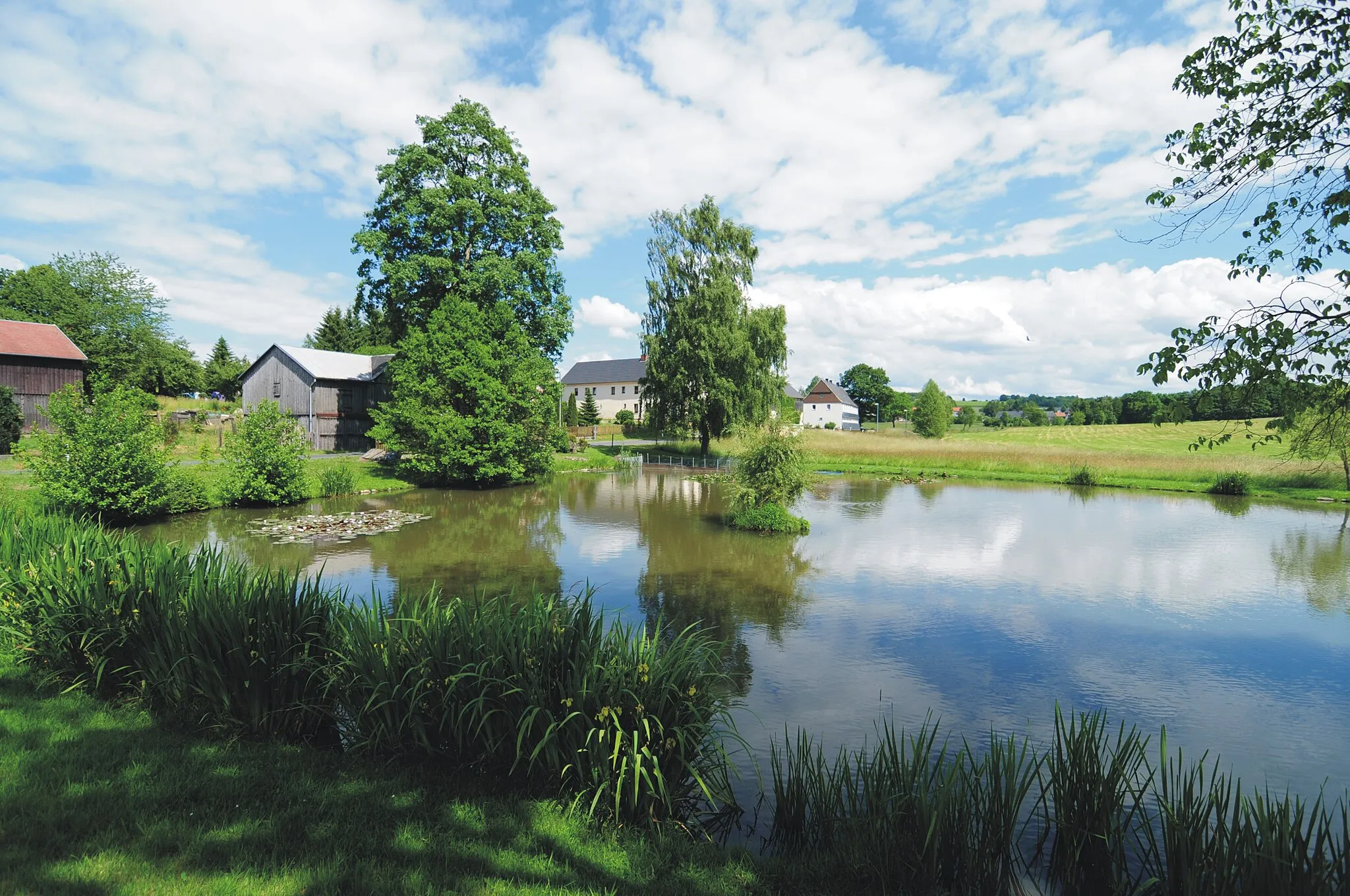
Mühlberg568 mPeakMühlberg, at 29 km, is a small village with traditional architecture and a peaceful atmosphere.
40 km
40 km
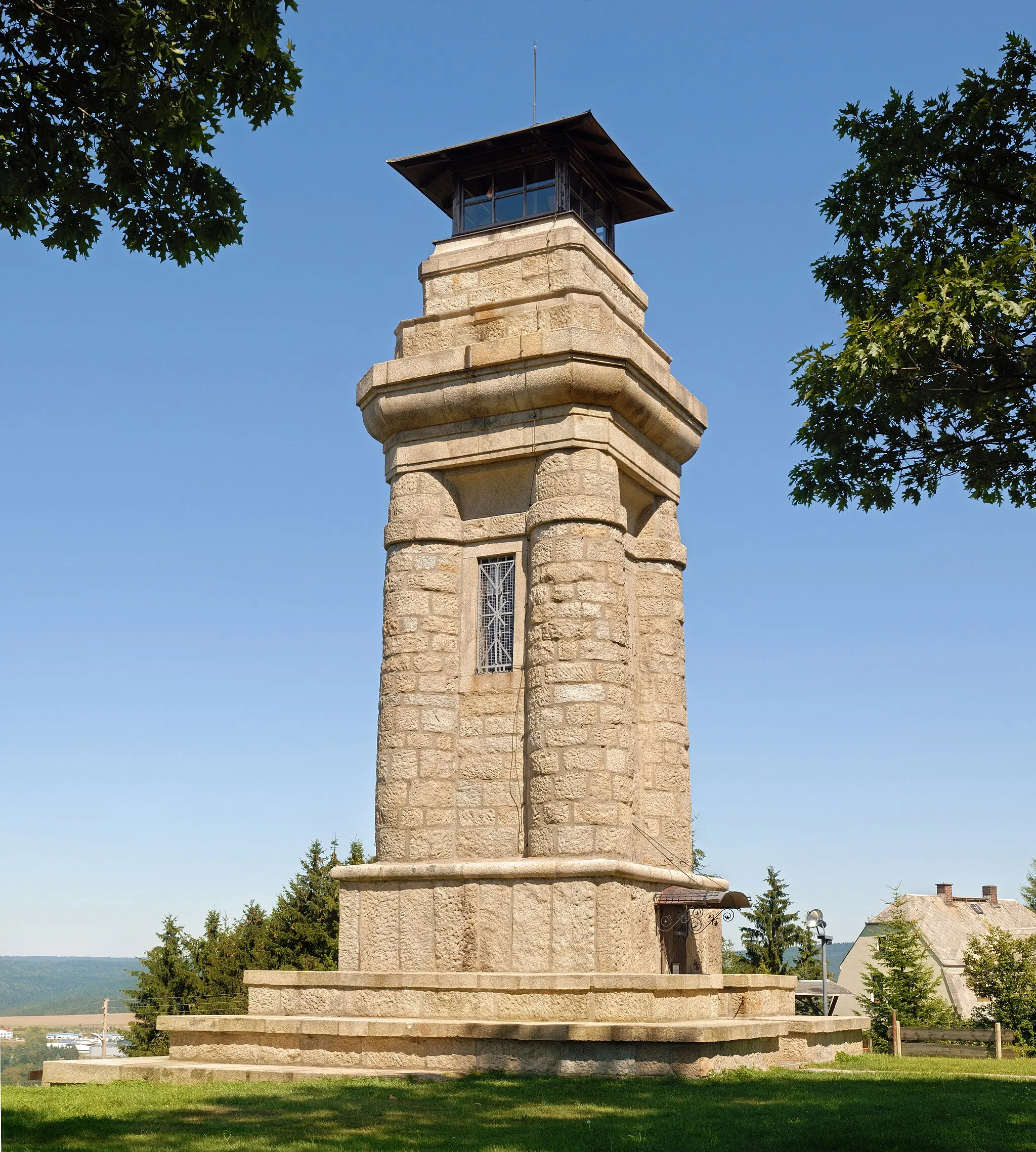
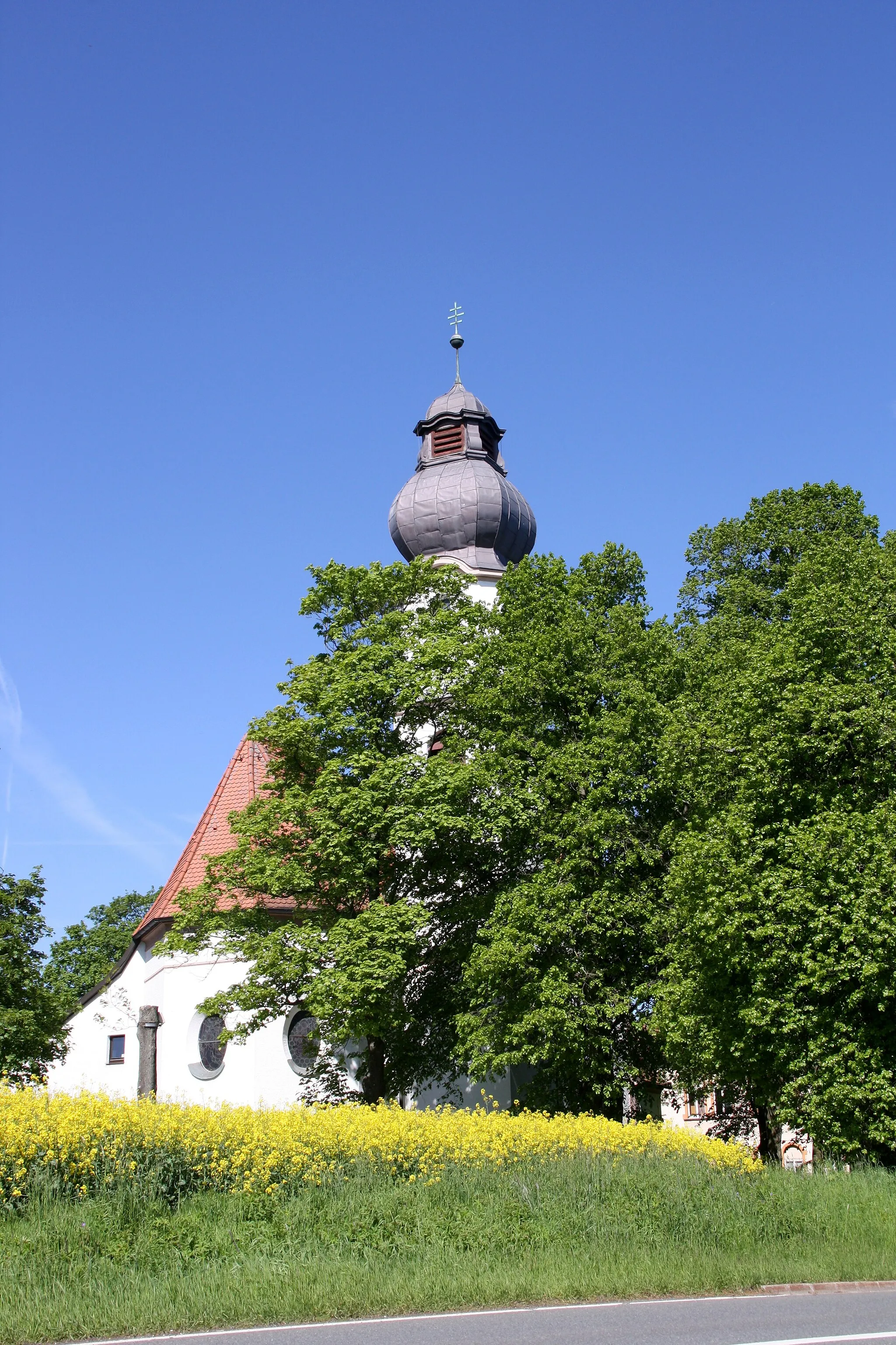
Wellersberg635 mPeakWellersberg, at 40 km, is known for its beautiful church and stunning views over the surrounding countryside.
50 km
50 km
StollenHamletAt 50 km, you will pass through Stollen, an old mining town with a well-preserved historic center.
71 km
71 km
TiefenbrunnVillageTiefenbrunn, at 71 km, is a charming village surrounded by rolling hills and scenic landscapes.
77 km
77 km
Finish: Gettengrün Village centerHranice: A cyclist-friendly locality offering diverse routes and access to famous climbs.
Cycling routes nearby: