The Gravel Adventure in the Vosges Mountains
A gravel cycling route starting from Plainfaing
Embark on a thrilling gravel ride through the scenic Vosges Mountains
Map
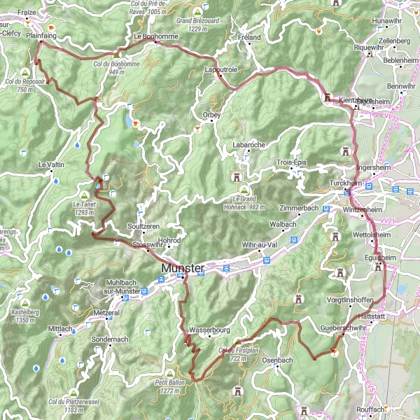
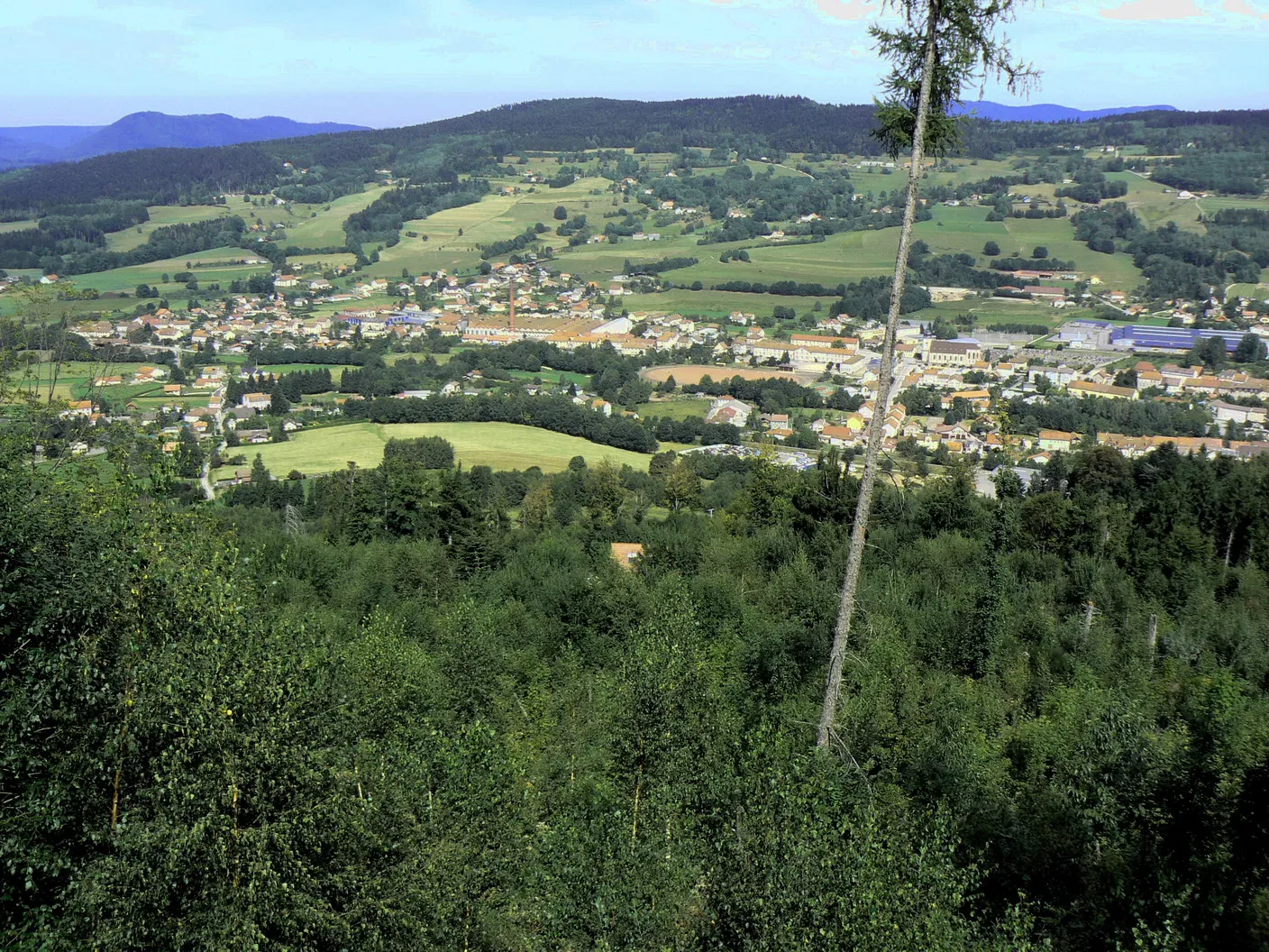
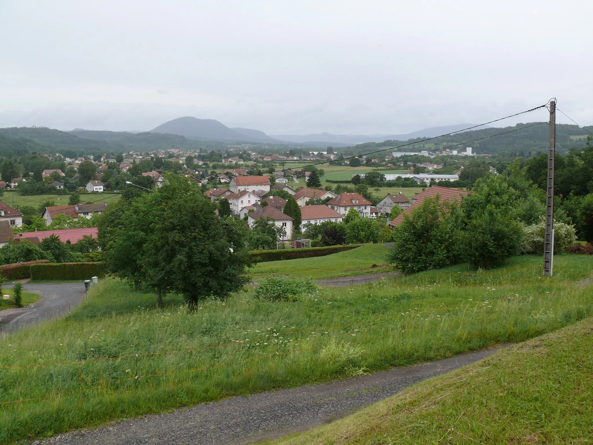
This 100 km round-trip cycling route near Plainfaing is a perfect adventure for gravel enthusiasts. With a challenging ascent of 2595 meters, the ride takes you through stunning landscapes and picturesque villages. The Vosges Mountains offer breathtaking views and a variety of terrain. The route combines technical sections with smooth gravel paths, providing a true test of skill and endurance. Along the way, you will encounter historic sites, charming towns, and mouthwatering gastronomic delights. Get ready for an unforgettable experience in the heart of Lorraine.
gravel
100 km
2595 m
Tough
Route profile
Highlights on the route
0 km
0 km
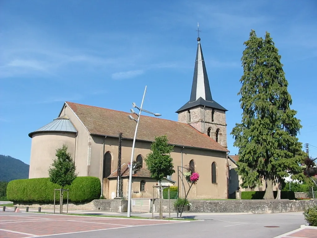
Start: Plainfaing Village centerPlainfaing: A peaceful base for exploring the Vosges mountains and its scenic cycling routes.
Plainfaing is a small town located in the Lorraine region of France. From a cyclist's perspective, it offers a mix of flat and hilly roads, providing a range of cycling options for riders of different abilities. The roads are generally well-maintained and there are designated bike lanes in some areas. While Plainfaing may not have any famous cycling-related spots, it serves as a convenient base for exploring the Vosges mountains, which offer some challenging climbs and scenic routes. With its peaceful atmosphere and cycling-friendly infrastructure, Plainfaing is a decent option for cyclists looking to explore the Lorraine region on two wheels.5 km
5 km
Col du Bonhomme949 mMountain PassClimb the famous Col du Bonhomme, a legendary ascent in the Vosges Mountains.
8 km
8 km
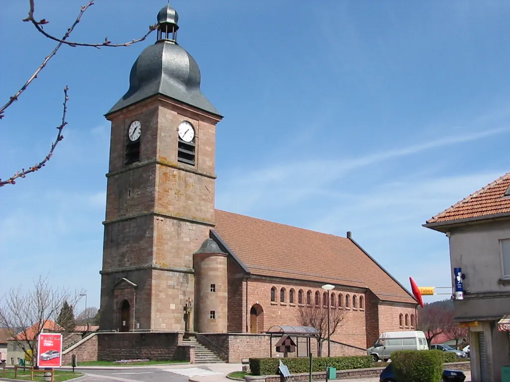
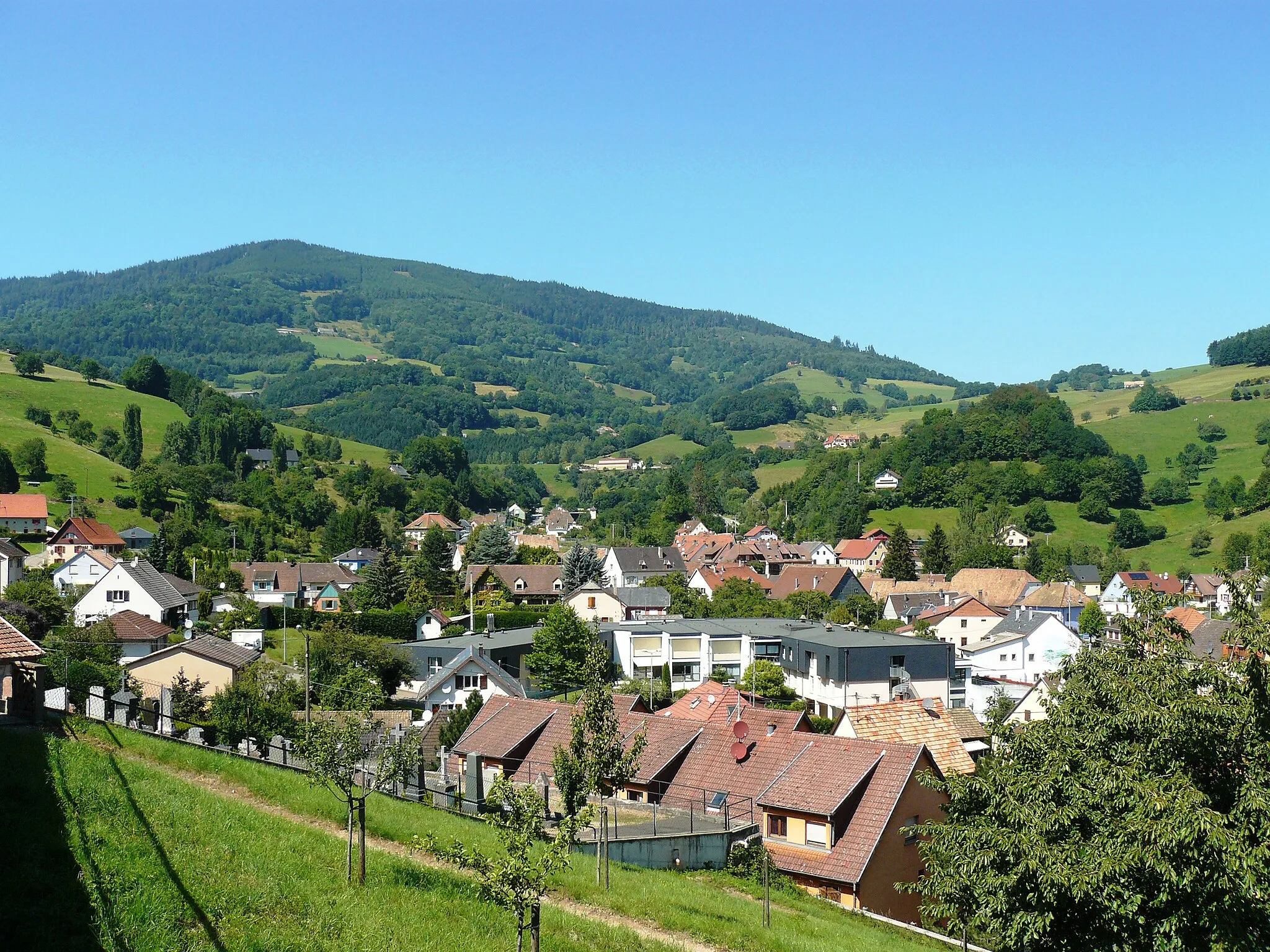
Le BonhommeVillageDiscover the village of Le Bonhomme and its rich history dating back centuries.
23 km
23 km
KaysersbergVillageExplore Kaysersberg, a charming medieval town known for its half-timbered houses and vineyards.
30 km
30 km
Col du Brand324 mMountain PassReach the summit of Col du Brand and enjoy panoramic views of the surrounding mountains.
43 km
43 km
GueberschwihrVillageVisit Gueberschwihr, a picturesque village with stunning views and traditional Alsatian architecture.
54 km
54 km
Col du Firstplan722 mMountain PassConquer the challenging Col du Firstplan and be rewarded with breathtaking vistas.
70 km
70 km
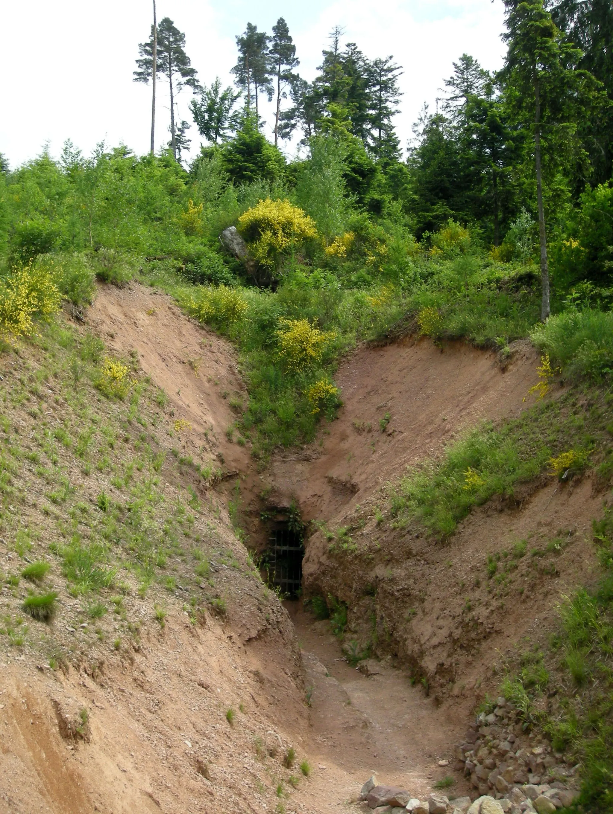
NarrensteinViewpointPass by Narrenstein, an ancient stone monument shrouded in mystery.
70 km
70 km
MunsterTownExperience the historic town of Munster, known for its delicious cheese and charming streets.
82 km
82 km
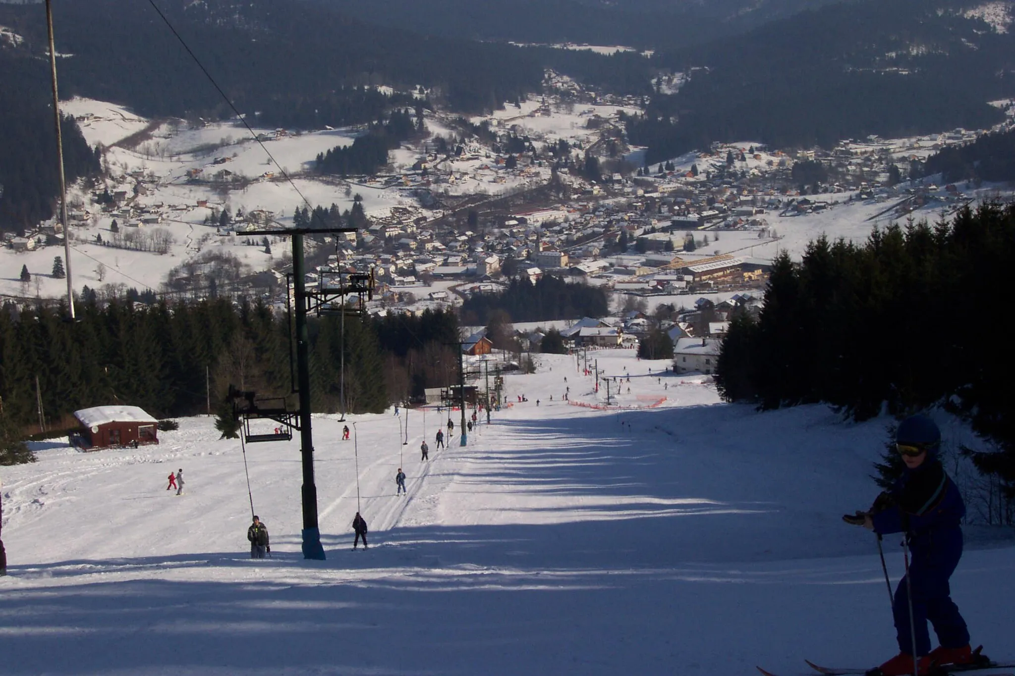
Le Tanet1293 mPeakReach the summit of Le Tanet and enjoy stunning views of the Vosges Mountains.
87 km
87 km
Cascade du RudlinWaterfallMarvel at the majestic Cascade du Rudlin, a beautiful waterfall nestled in the mountains.
96 km
96 km
Confiserie des Hautes VosgesAttractionIndulge in sweet treats at the Confiserie des Hautes Vosges, where traditional Vosges candies are made.
100 km
100 km
Finish: Plainfaing Village centerPlainfaing: A peaceful base for exploring the Vosges mountains and its scenic cycling routes.
Cycling routes nearby: