Plainfaing Loop
A road cycling route starting from Plainfaing
Discover scenic landscapes and thrilling ascents on this road cycling route near Plainfaing
Map
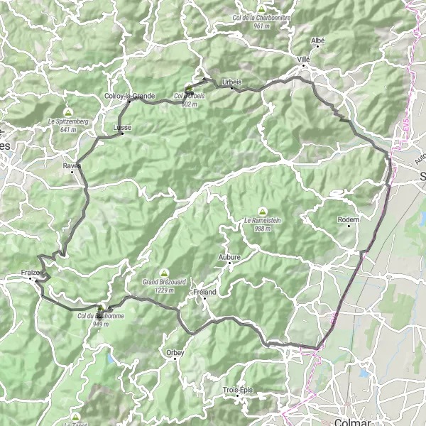
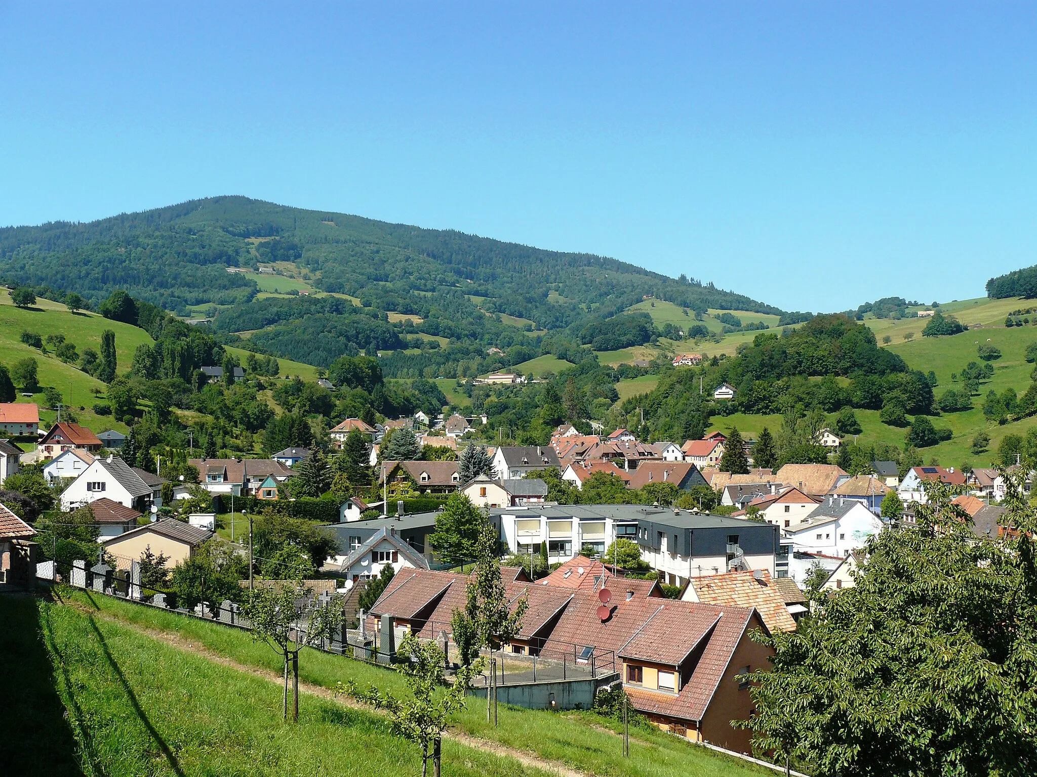
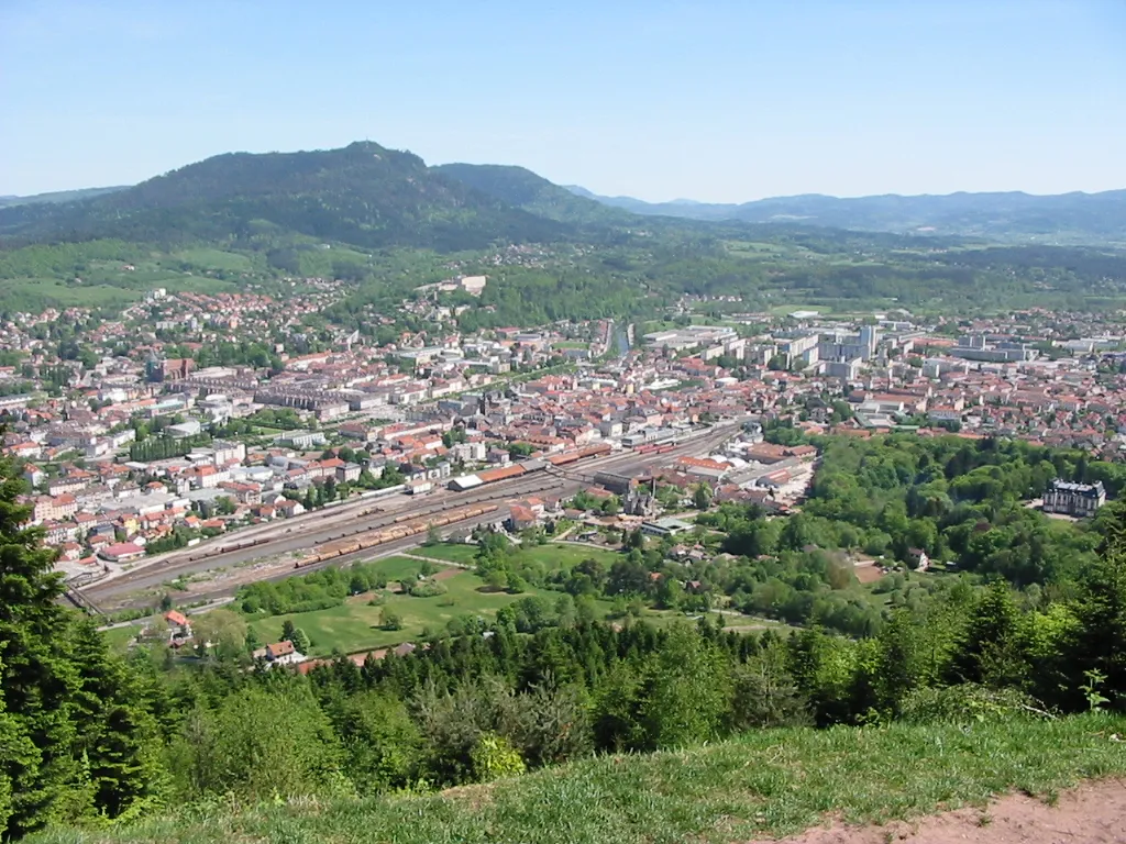
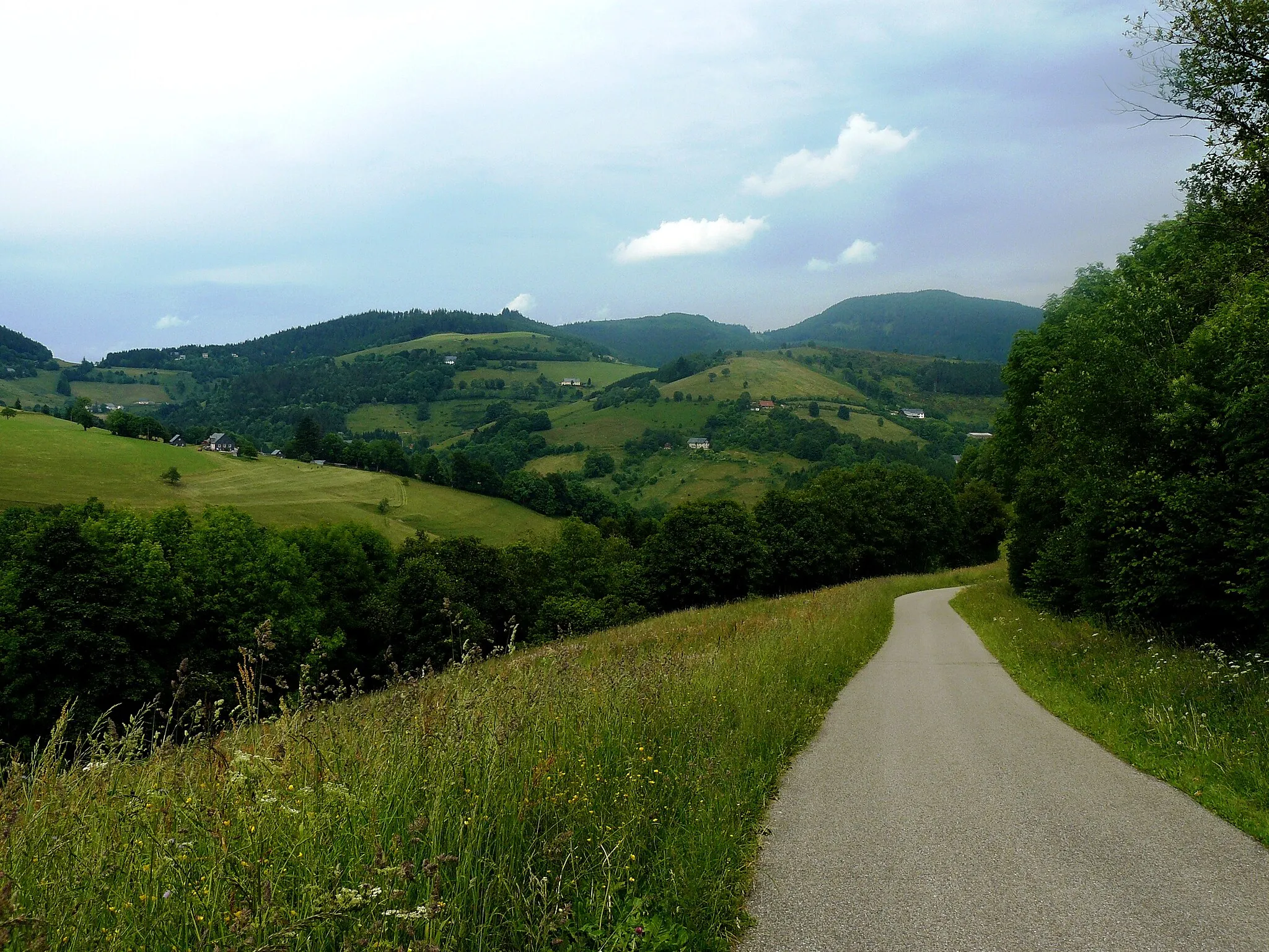
The Plainfaing Loop is a road cycling route that offers a mix of challenging climbs, beautiful landscapes, and charming villages. Covering a distance of 103 kilometers with an ascent of 1,477 meters, this route is suitable for cyclists who enjoy a balanced mix of adventure and sightseeing. Experience the thrill of conquering challenging ascents and take in the natural beauty of the Lorraine region on this exciting cycling journey.
road
103 km
1477 m
Tough
Route profile
Highlights on the route
0 km
0 km
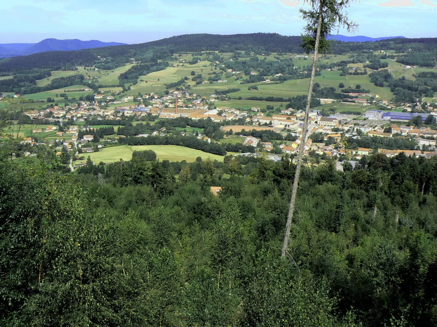
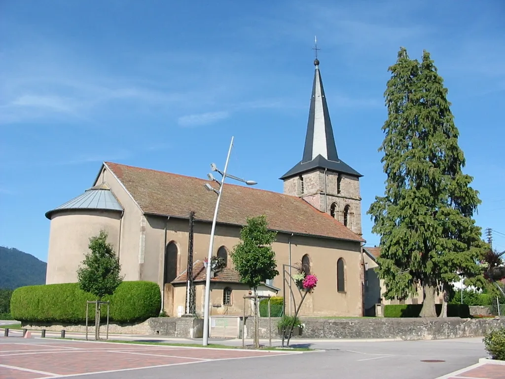
Start: Plainfaing Village centerPlainfaing: A peaceful base for exploring the Vosges mountains and its scenic cycling routes.
Plainfaing is a small town located in the Lorraine region of France. From a cyclist's perspective, it offers a mix of flat and hilly roads, providing a range of cycling options for riders of different abilities. The roads are generally well-maintained and there are designated bike lanes in some areas. While Plainfaing may not have any famous cycling-related spots, it serves as a convenient base for exploring the Vosges mountains, which offer some challenging climbs and scenic routes. With its peaceful atmosphere and cycling-friendly infrastructure, Plainfaing is a decent option for cyclists looking to explore the Lorraine region on two wheels.5 km
5 km
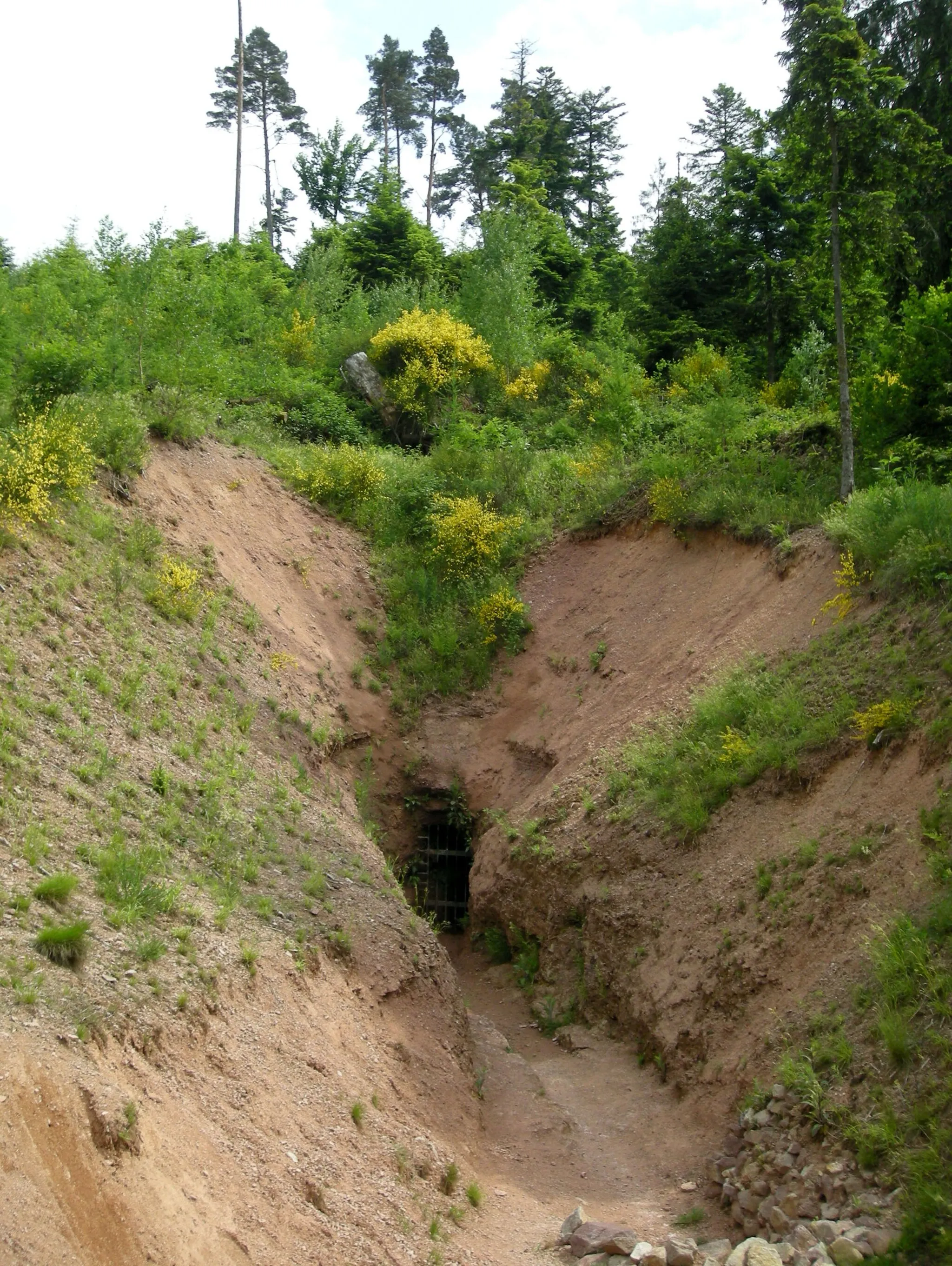
Col de Mandray707 mMountain PassConquer the Col de Mandray and enjoy stunning views from its summit.
10 km
10 km
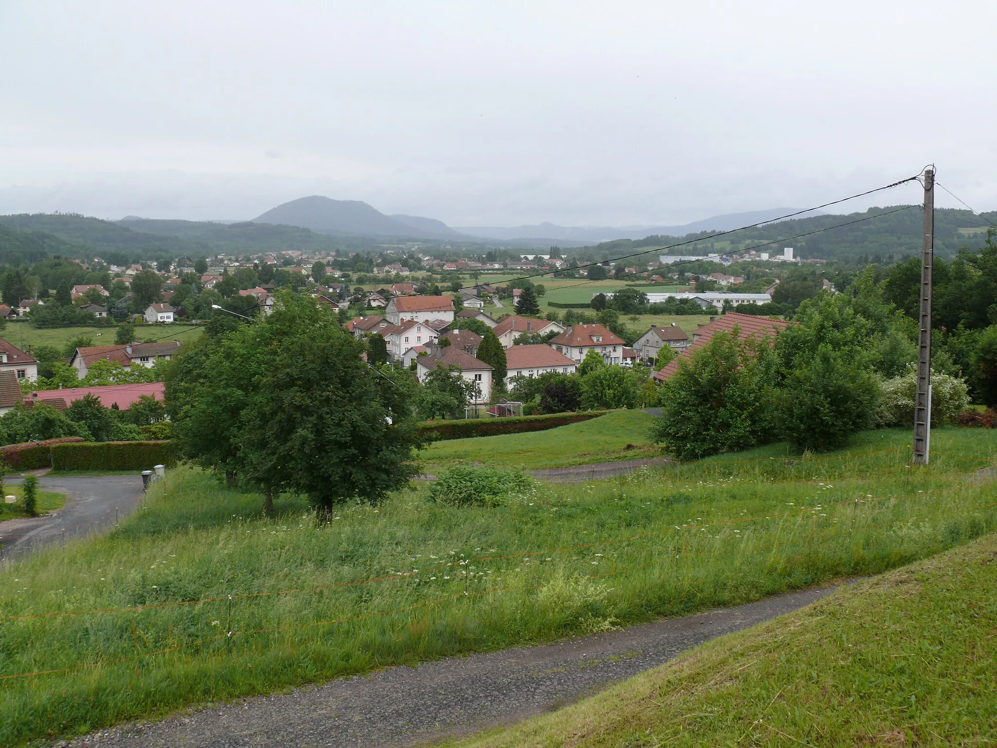
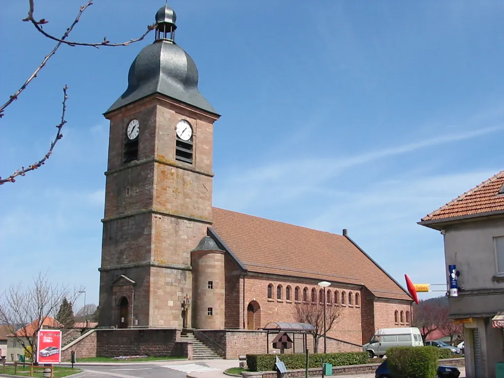
La Croix-aux-MinesVillagePass through La Croix-aux-Mines, a village steeped in history and surrounded by beautiful scenery.
18 km
18 km
CombrimontVillageDiscover Combrimont, a charming village known for its traditional timber-framed houses.
32 km
32 km
Col d'Urbeis602 mMountain PassClimb the exhilarating Col d'Urbeis and take in the breathtaking views of the Vosges mountains.
40 km
40 km
Le Guichat624 mPeakTravel through Le Guichat, a scenic village nestled in the heart of the Vosges.
57 km
57 km
KintzheimVillageVisit Kintzheim and explore its famous castle, Château du Haut-Koenigsbourg.
74 km
74 km
SigolsheimVillageStop at Sigolsheim, a picturesque town with charming streets and traditional Alsatian houses.
92 km
92 km
Le BonhommeVillagePass through Le Bonhomme, a historic town known for its scenic beauty and architectural heritage.
97 km
97 km
Col du Bonhomme949 mMountain PassConquer the iconic Col du Bonhomme and feel the sense of achievement at its summit.
103 km
103 km
Finish: Plainfaing Village centerPlainfaing: A peaceful base for exploring the Vosges mountains and its scenic cycling routes.
Cycling routes nearby: