Plainfaing Ascent
A road cycling route starting from Plainfaing
Embark on an exhilarating road cycling route near Plainfaing with challenging ascents and beautiful landscapes
Map
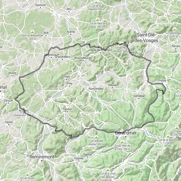
The Plainfaing Ascent is a road cycling route that offers a thrilling challenge for cyclists. Spanning 128 kilometers with a total ascent of 1,860 meters, this route takes riders through stunning landscapes and features challenging climbs along the way. Cyclists will experience a mix of quaint villages, impressive mountain views, and exhilarating ascents, making this route perfect for those seeking an adventure.
road
128 km
1860 m
Tough
Route profile
Highlights on the route
0 km
0 km
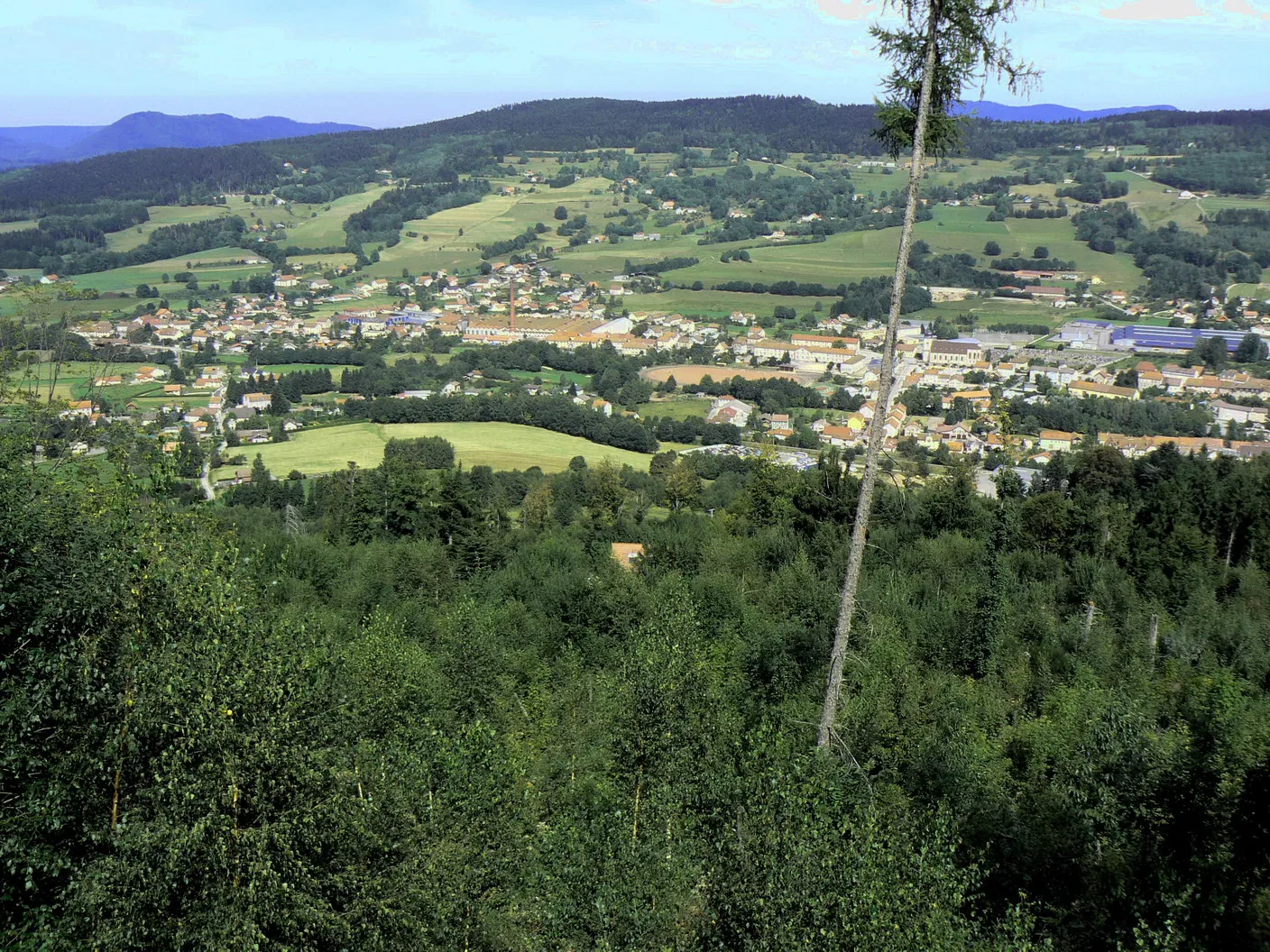
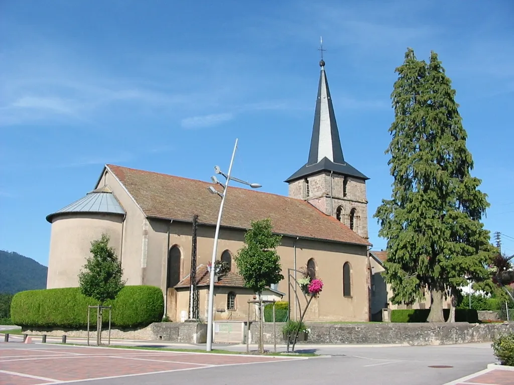
Start: Plainfaing Village centerPlainfaing: A peaceful base for exploring the Vosges mountains and its scenic cycling routes.
Plainfaing is a small town located in the Lorraine region of France. From a cyclist's perspective, it offers a mix of flat and hilly roads, providing a range of cycling options for riders of different abilities. The roads are generally well-maintained and there are designated bike lanes in some areas. While Plainfaing may not have any famous cycling-related spots, it serves as a convenient base for exploring the Vosges mountains, which offer some challenging climbs and scenic routes. With its peaceful atmosphere and cycling-friendly infrastructure, Plainfaing is a decent option for cyclists looking to explore the Lorraine region on two wheels.4 km
4 km
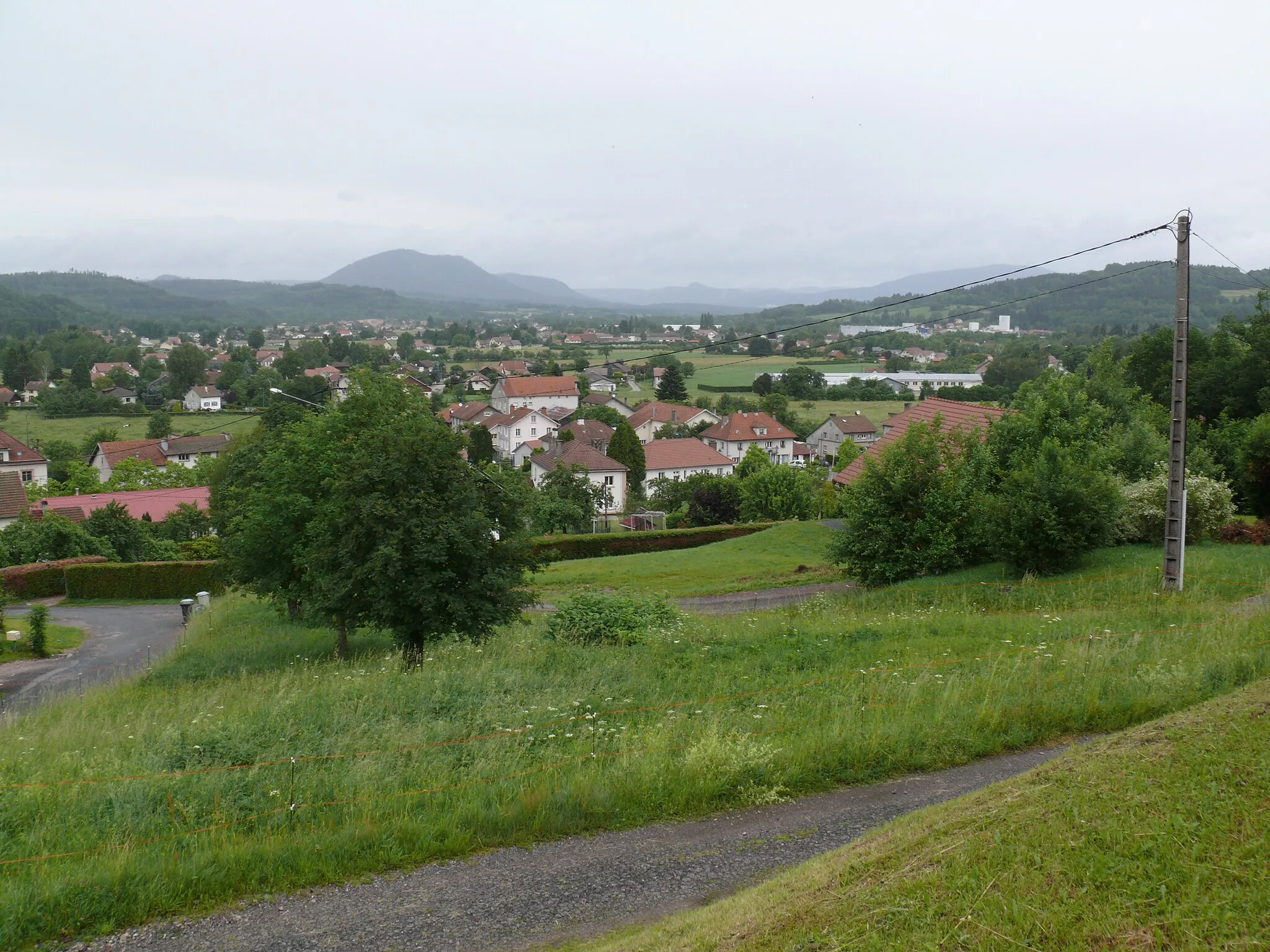
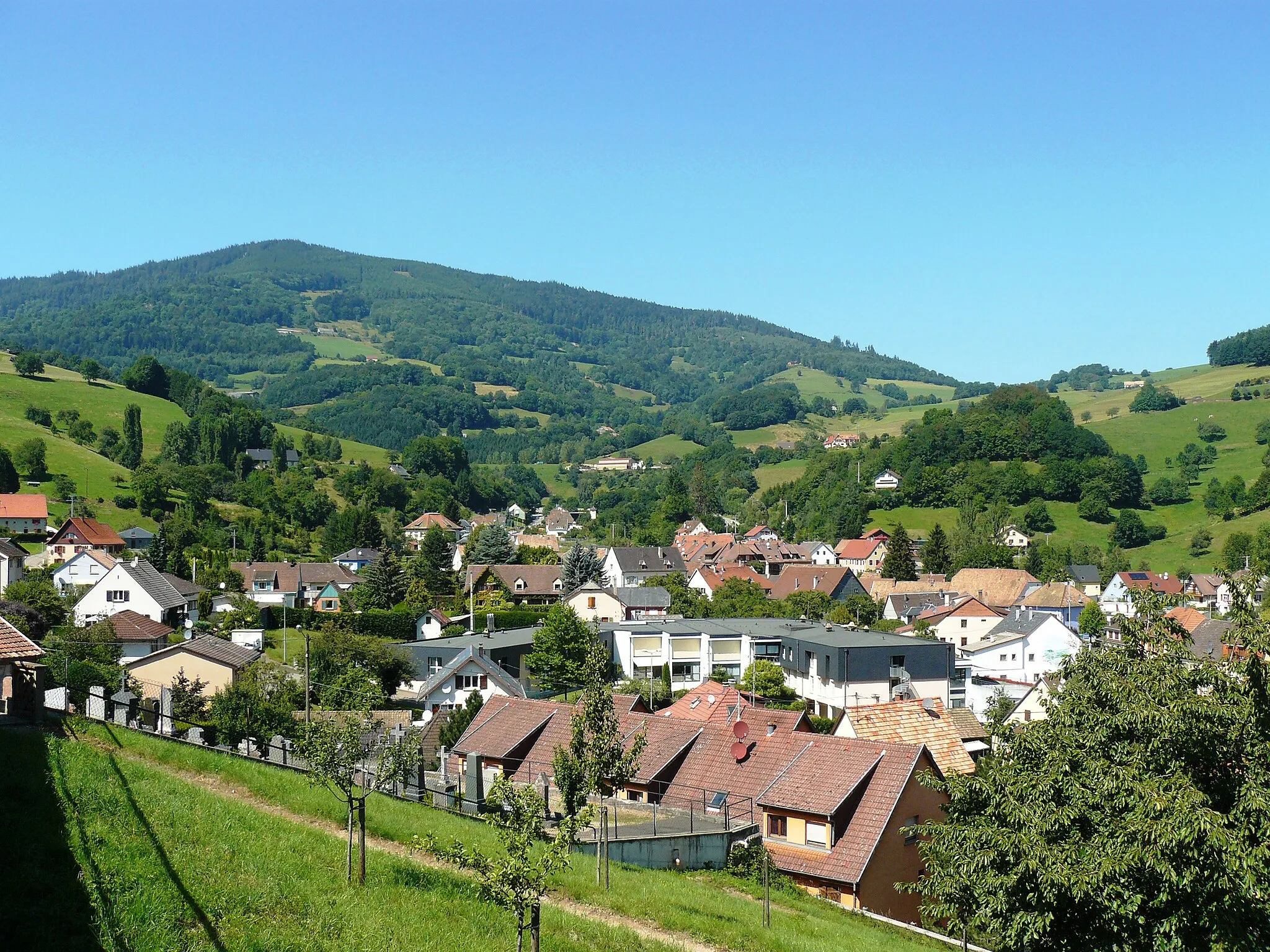
Ban-sur-Meurthe-ClefcyVillageVisit Ban-sur-Meurthe-Clefcy, a charming village nestled in the Vosges mountains.
16 km
16 km
Col du Surceneux810 mMountain PassConquer the Col du Surceneux and enjoy panoramic views of the surrounding landscapes.
33 km
33 km
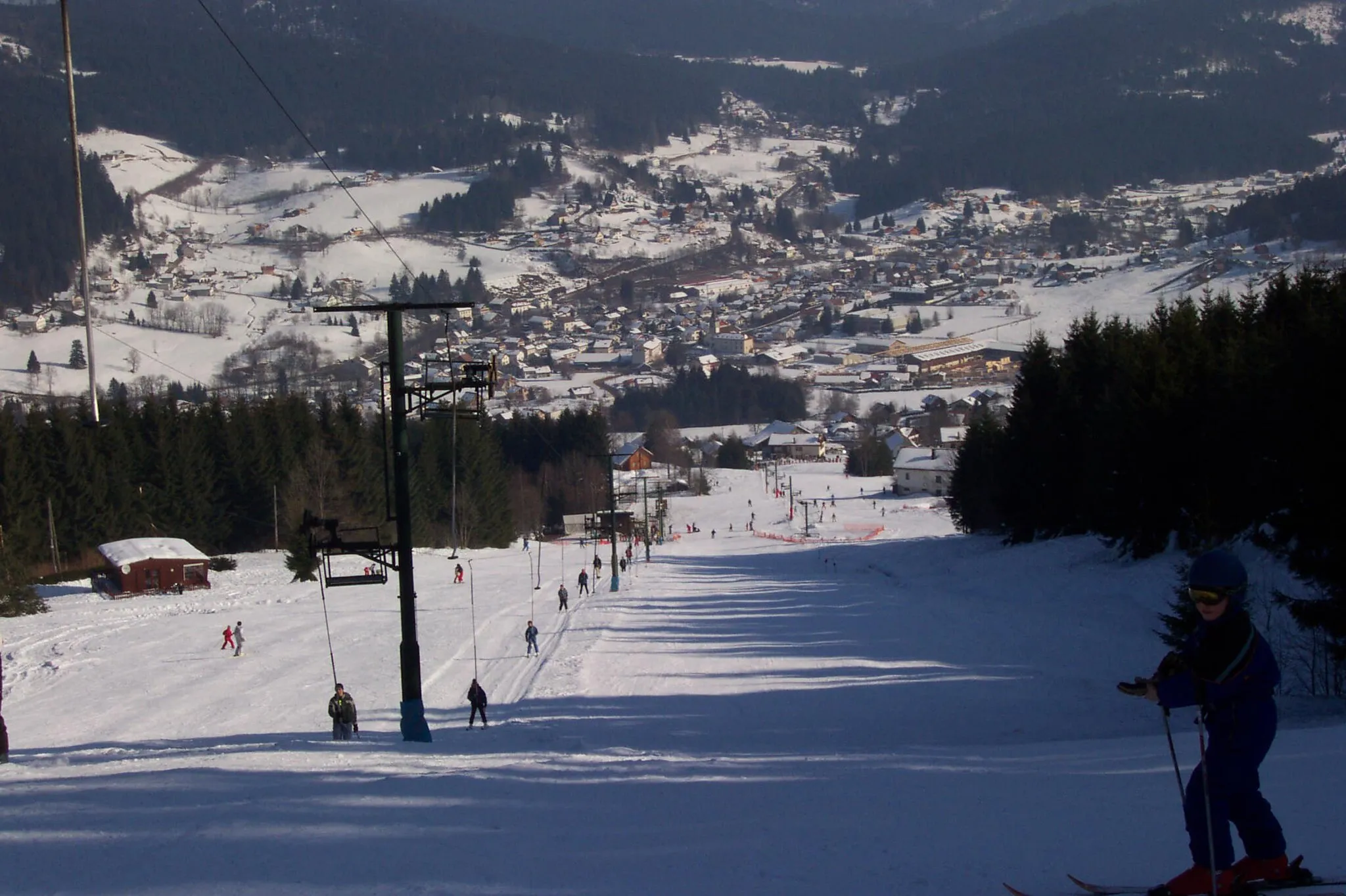
Le TholyVillagePass through Le Tholy, a picturesque village known for its traditional architecture.
47 km
47 km
Tête des Cuveaux780 mPeak ViewpointMarvel at the scenic beauty of Tête des Cuveaux, a natural attraction worth a stop.
49 km
49 km
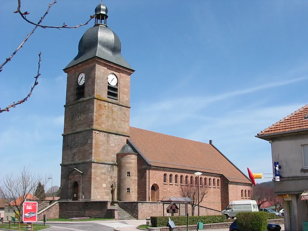
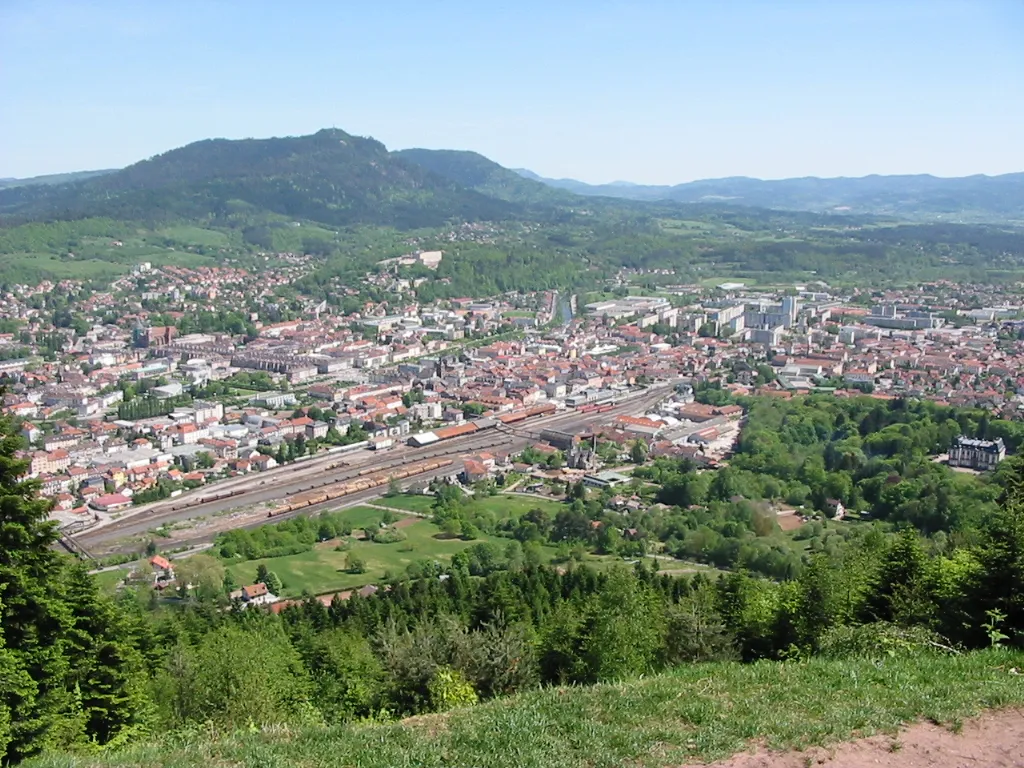
ÉloyesVillageExplore Éloyes, a charming town with a rich history and cultural heritage.
58 km
58 km
Tête de la Chenevière398 mPeakAdmire the stunning views from Tête de la Chenevière, a popular lookout point.
69 km
69 km
DeyvillersVillagePass through Deyvillers, a quiet village surrounded by beautiful countryside.
83 km
83 km
Pierrepont-sur-l'ArentèleVillageDiscover the village of Pierrepont-sur-l'Arentèle and its charming rural setting.
94 km
94 km
MortagneVillageStop at Mortagne, a quaint village with picturesque landscapes and historic charm.
105 km
105 km
Col du Haut Jacques605 mMountain PassConquer the challenging Col du Haut Jacques and enjoy the sense of achievement.
116 km
116 km
Saulcy-sur-MeurtheVillagePass through Saulcy-sur-Meurthe, a peaceful village known for its idyllic setting.
126 km
126 km
FraizeVillageVisit Fraize, a lovely town in the heart of the Vosges mountains.
128 km
128 km
Finish: Plainfaing Village centerPlainfaing: A peaceful base for exploring the Vosges mountains and its scenic cycling routes.
Cycling routes nearby: