Plainfaing Gravel Adventure
A gravel cycling route starting from Plainfaing
Embark on a thrilling gravel adventure near Plainfaing with challenging climbs and picturesque landscapes
Map
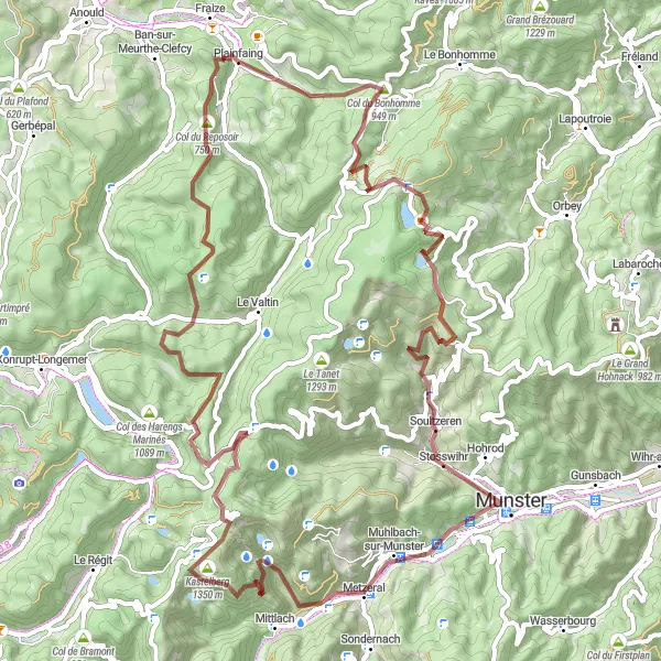
The Plainfaing Gravel Adventure is a 74-kilometer route that combines gravel riding with breathtaking natural scenery. With a total ascent of 2,178 meters, this route offers challenging climbs and rewarding views along the way. Cyclists will have the opportunity to pass by stunning waterfalls, conquer technical trails, and enjoy the tranquility of the Vosges mountains.
gravel
74 km
2178 m
Tough
Route profile
Highlights on the route
0 km
0 km
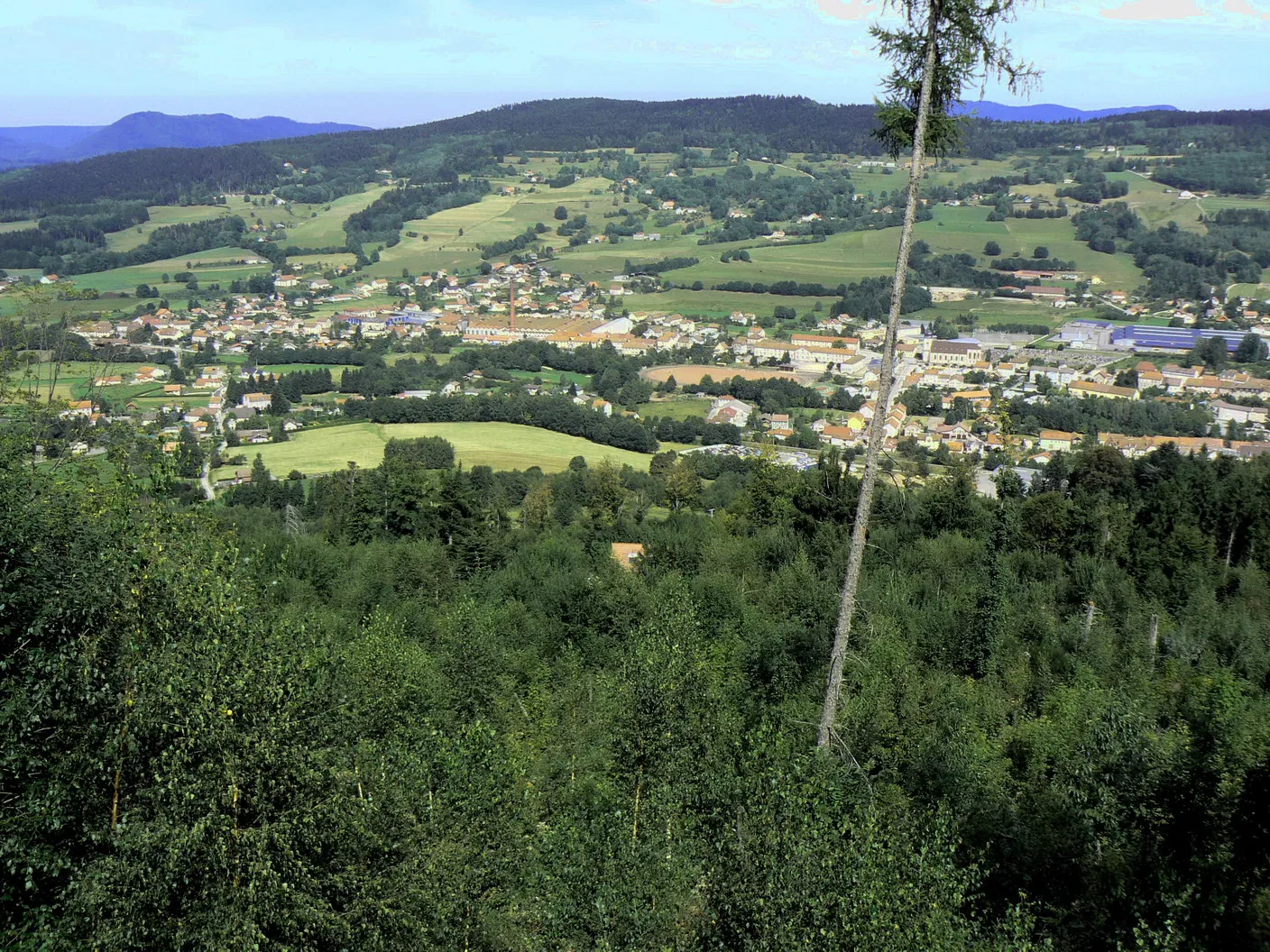
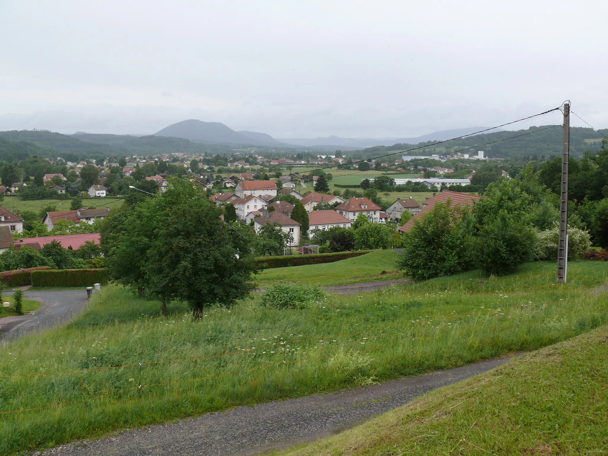
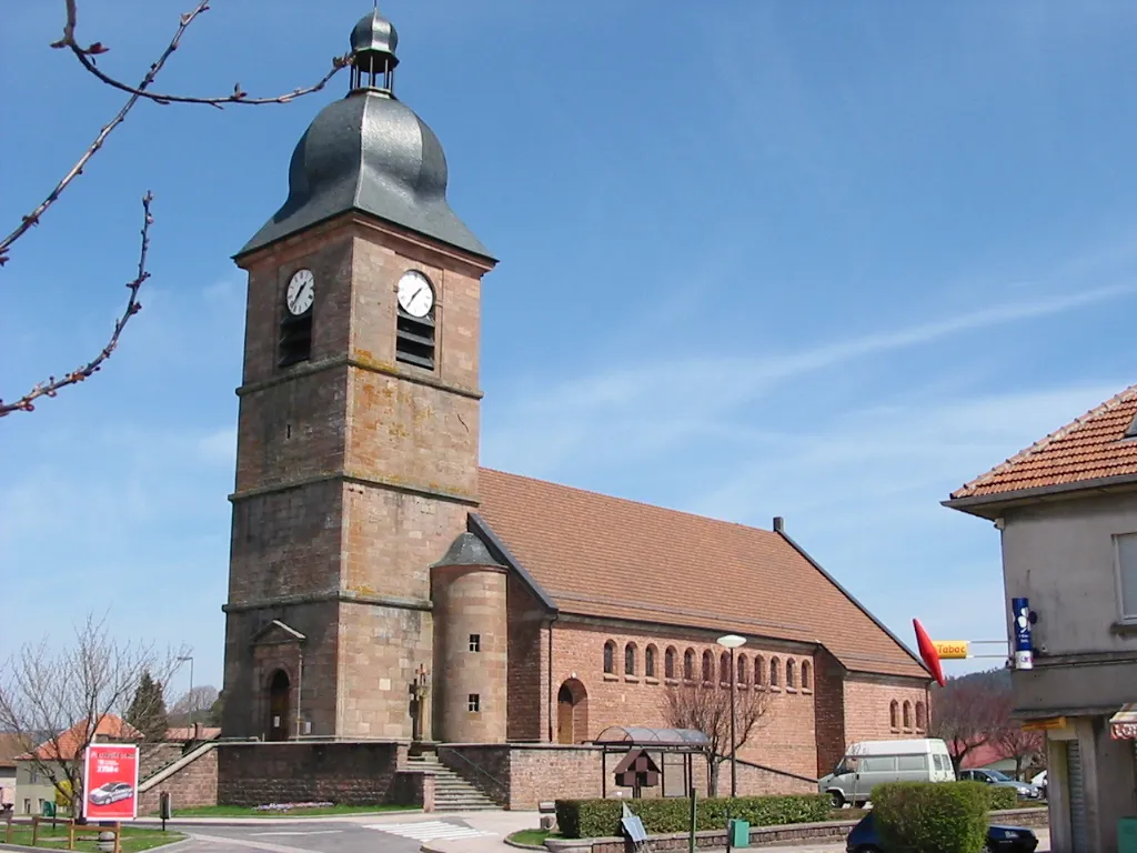
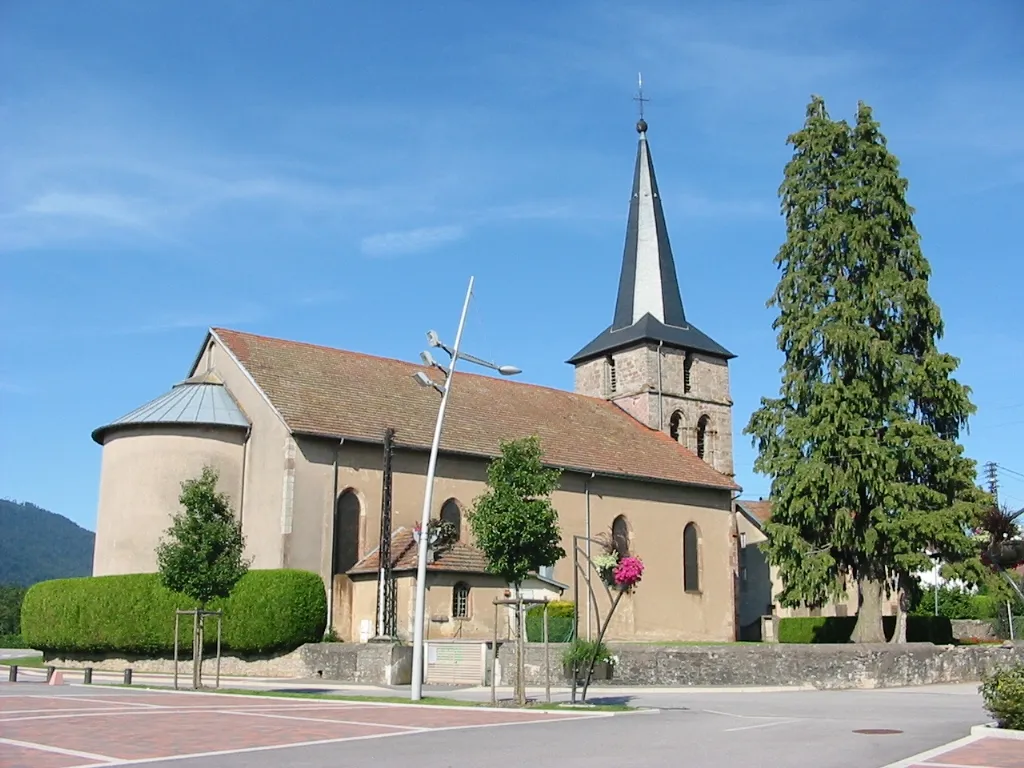
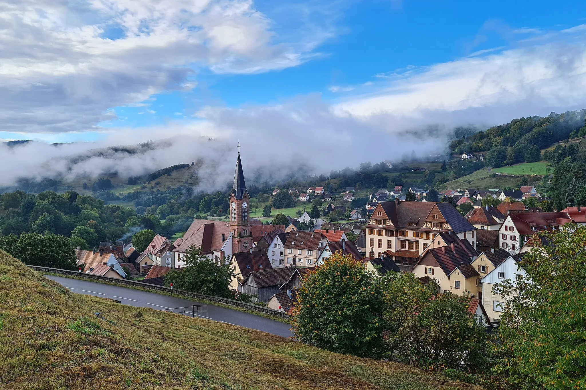
Start: Plainfaing Village centerPlainfaing: A peaceful base for exploring the Vosges mountains and its scenic cycling routes.
Plainfaing is a small town located in the Lorraine region of France. From a cyclist's perspective, it offers a mix of flat and hilly roads, providing a range of cycling options for riders of different abilities. The roads are generally well-maintained and there are designated bike lanes in some areas. While Plainfaing may not have any famous cycling-related spots, it serves as a convenient base for exploring the Vosges mountains, which offer some challenging climbs and scenic routes. With its peaceful atmosphere and cycling-friendly infrastructure, Plainfaing is a decent option for cyclists looking to explore the Lorraine region on two wheels.11 km
11 km
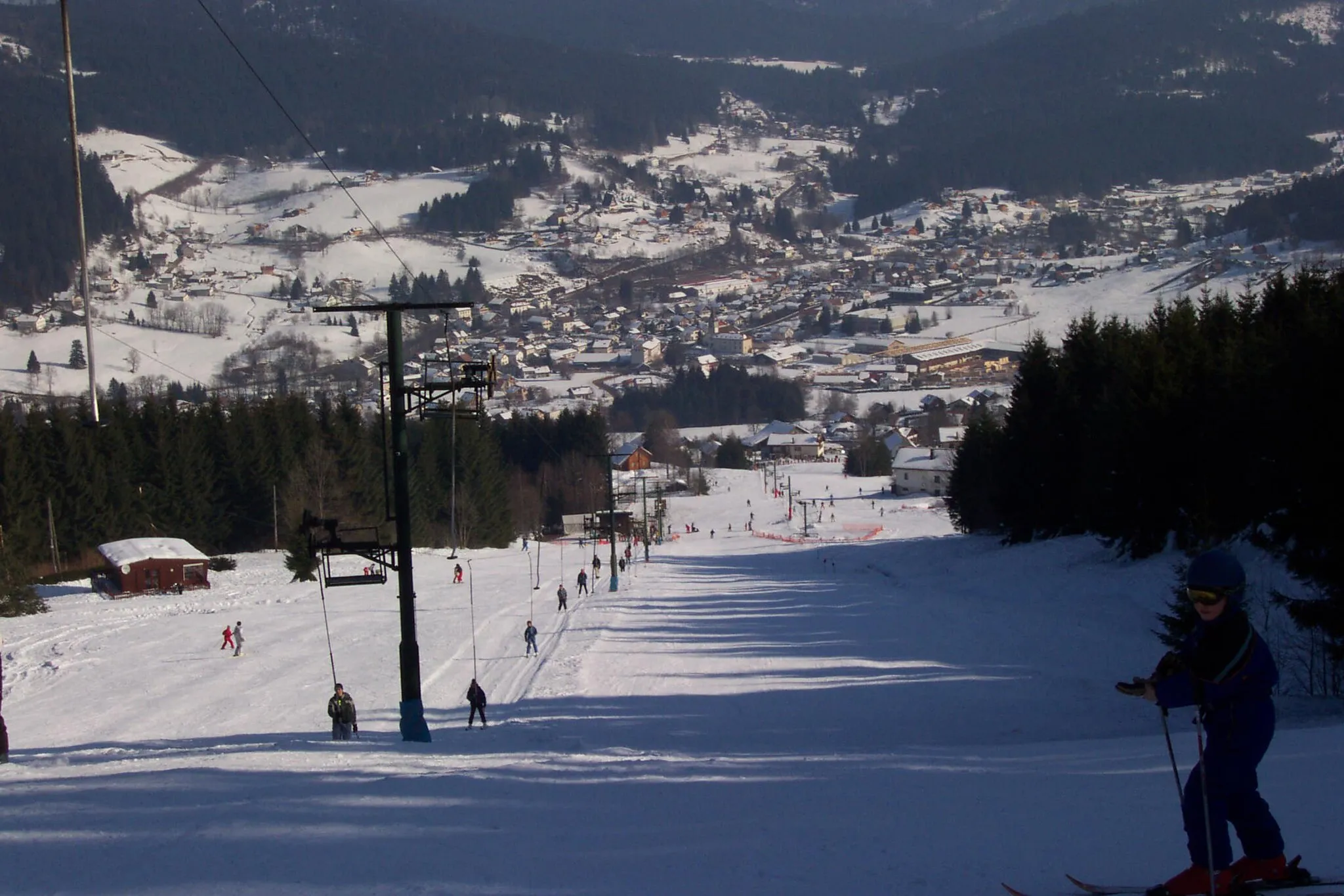
Col du Calvaire1144 mMountain PassClimb the scenic Col du Calvaire and immerse yourself in the natural beauty of the Vosges.
11 km
11 km
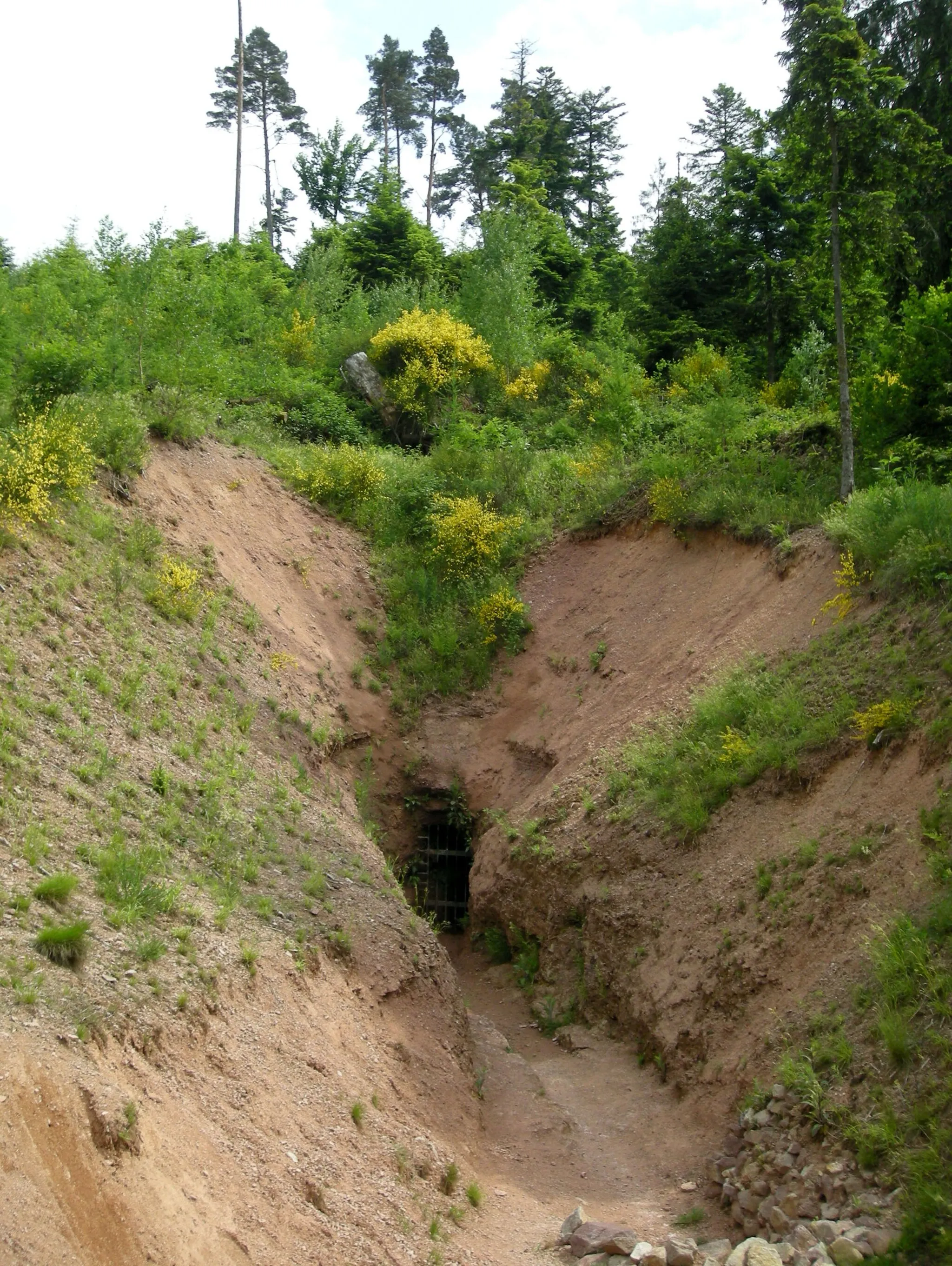
Tricky TrackAttractionChallenge yourself on the Tricky Track, a technical trail that will test your skills.
19 km
19 km
Col du Wettstein880 mMountain PassConquer the Col du Wettstein, a picturesque climb with stunning views of the surrounding landscapes.
26 km
26 km
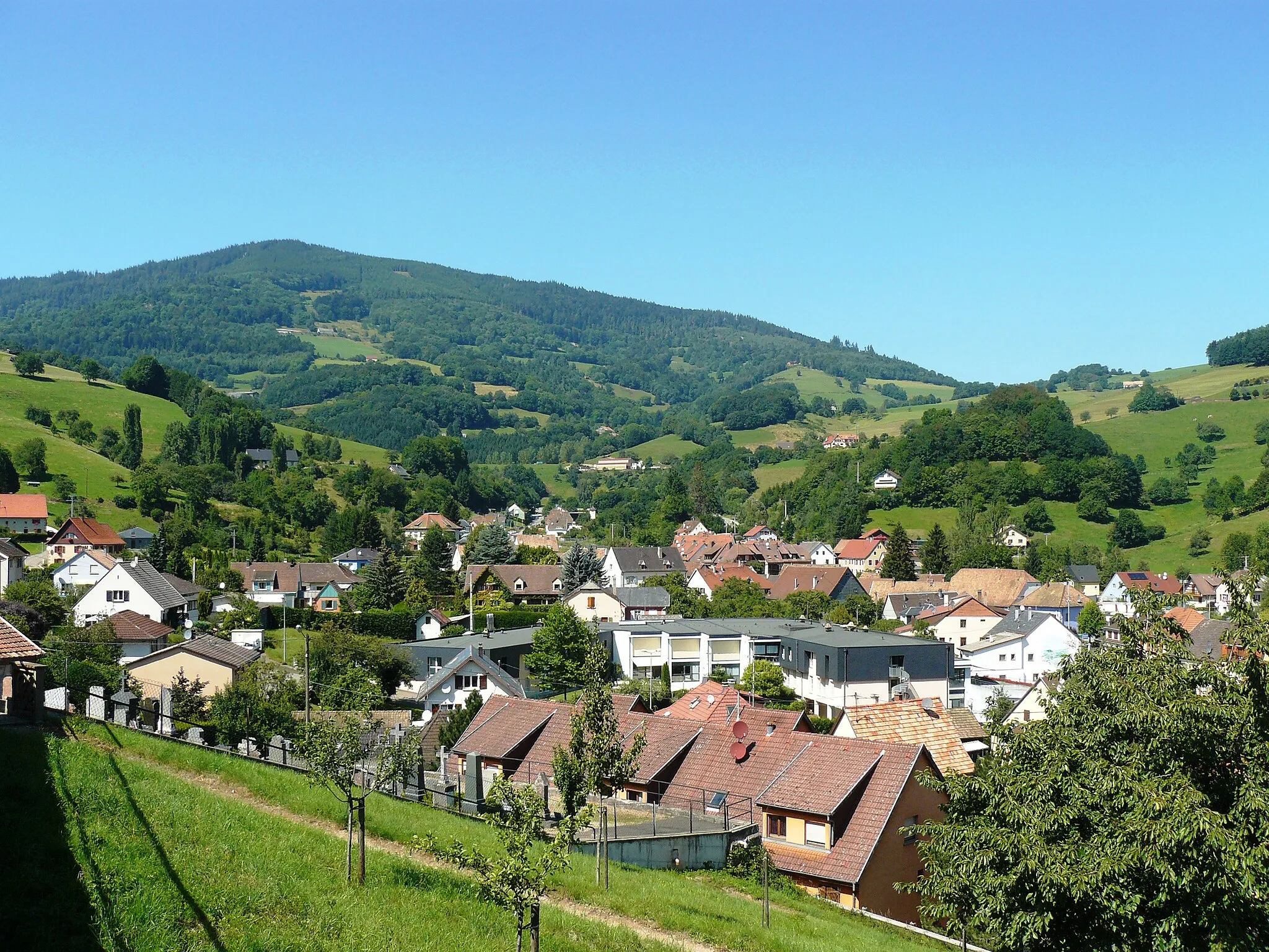
SoultzerenVillageStop at Soultzeren and admire the tranquil atmosphere of this charming mountain village.
40 km
40 km
Cascade de la WormsaWaterfallDiscover the mesmerizing Cascade de la Wormsa, a majestic waterfall nestled in the Vosges forests.
46 km
46 km
Kastelberg1350 mPeakClimb the challenging Kastelberg and be rewarded with panoramic views from its summit.
54 km
54 km
Cascade CharlemagneWaterfallAdmire the beauty of the Cascade Charlemagne, a stunning waterfall in the heart of nature.
60 km
60 km
Col des Charbonniers921 mMountain PassExperience the thrill of climbing the Col des Charbonniers, a demanding ascent for cyclists.
69 km
69 km
Confiserie des Hautes VosgesAttractionIndulge your sweet tooth at the Confiserie des Hautes Vosges, known for its delicious confections.
70 km
70 km
Col du Reposoir750 mMountain PassConquer the Col du Reposoir and enjoy breathtaking views from its summit.
74 km
74 km
Finish: Plainfaing Village centerPlainfaing: A peaceful base for exploring the Vosges mountains and its scenic cycling routes.
Cycling routes nearby: