Gravel Adventure
A gravel cycling route starting from Karlshorst
Embark on an off-road gravel adventure near Karlshorst
Map
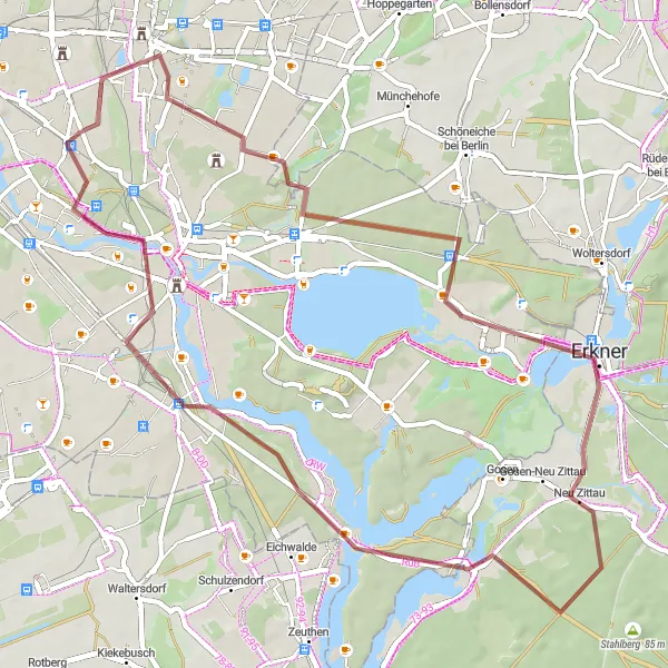
Experience the thrill of off-road cycling with this gravel route starting near Karlshorst. With a moderate difficulty level and a rating of 3 for epicness, this route is perfect for cyclists looking for a bit more adventure. Highlights along the route include Schloss Biesdorf, Biesdorfer Höhe, Püttberge, Erkner, Paschenberg, Schmöckwitz, Falkenberg, Aussichtspunkt Bunkerberg, and Karlshorst. These attractions offer a mix of historical sites, panoramic views, and natural beauty.
gravel
57 km
119 m
Tough
Route profile
Highlights on the route
0 km
0 km
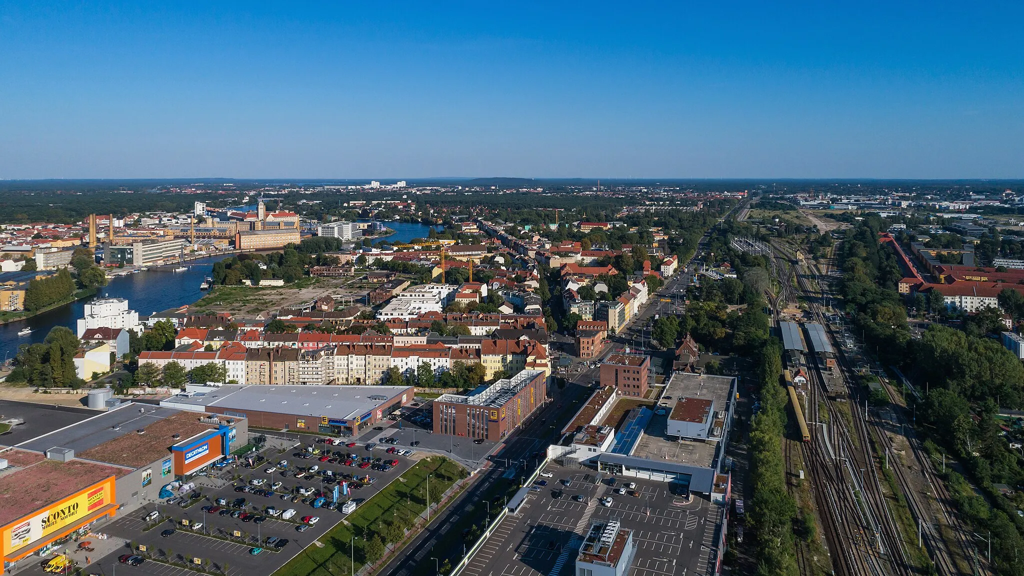
Start: Locality centerKarlshorst: Cycling-friendly locality with urban and natural landscapes.
Karlshorst is a locality in Berlin, Germany. It offers a mix of urban and natural landscapes suitable for cyclists. Road cyclists can explore the city streets, while gravel cyclists can venture into nearby forests and parks. The locality is well-connected to Berlin's extensive cycle path network, making it easy to navigate and explore different areas. Karlshorst and its surrounding neighborhoods also host various cycling events throughout the year. With its cycling infrastructure and diverse cycling opportunities, Karlshorst ranks 3 on the cyclist's perspective scale.3 km
3 km
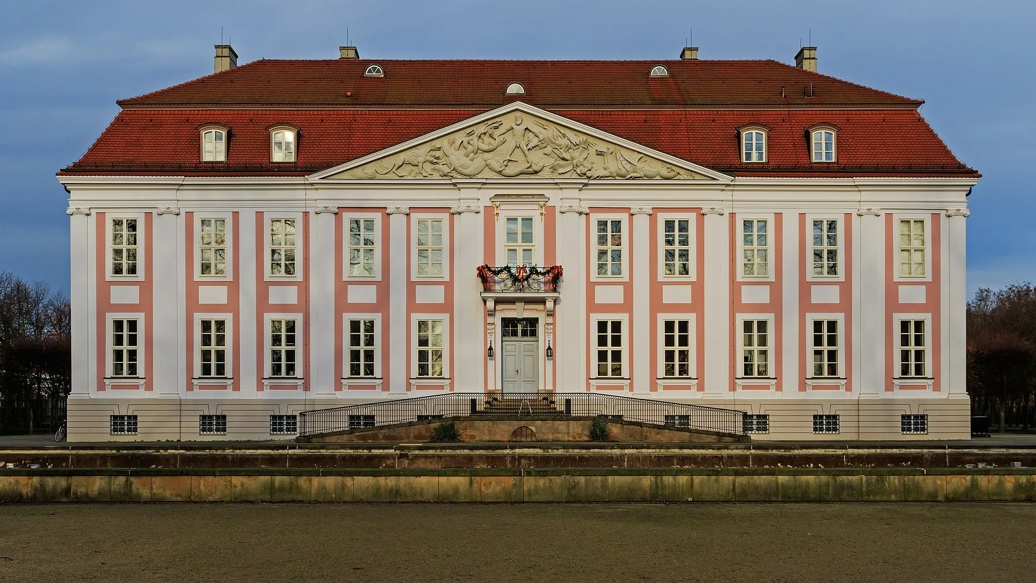
Schloss BiesdorfCastleSchloss Biesdorf is a historic castle surrounded by a beautiful park, perfect for a stroll or picnic.
4 km
4 km
Biesdorfer Höhe81 mPeakBiesdorfer Höhe is a hill offering panoramic views of the surrounding countryside, a great spot to take a break and enjoy the scenery.
19 km
19 km
Püttberge68 mPeakPüttberge is a nature reserve with forests and lakes, providing a peaceful escape from the city.
23 km
23 km
ErknerTownErkner is a picturesque town located on the banks of the River Spree, known for its charming architecture and waterways.
34 km
34 km
Paschenberg64 mPeakPaschenberg is a hill with stunning views of the surrounding landscapes, making it a perfect spot to soak in nature's beauty.
39 km
39 km
SchmöckwitzSub-urbSchmöckwitz is a cozy neighborhood located on the eastern outskirts of Berlin, known for its beautiful lakes and waterways.
46 km
46 km
Falkenberg59 mHamletFalkenberg is a historical site boasting ancient burial mounds, providing a glimpse into the region's past.
50 km
50 km
Aussichtspunkt BunkerbergViewpointAussichtspunkt Bunkerberg offers panoramic views and is situated atop an old World War II bunker, adding historical significance to the landscape.
56 km
56 km
KarlshorstSub-urbKarlshorst is a charming district with a rich history, home to the Soviet Union's surrender during World War II, commemorated by the Museum Karlshorst.
57 km
57 km
Finish: Locality centerKarlshorst: Cycling-friendly locality with urban and natural landscapes.
Cycling routes from Karlshorst:
Karlshorst-Köpenick Loop Karlshorst-Grünheide Adventure Karlshorst-Bestensee Loop Karlshorst-Gravel Exploration Karlshorst-Cultural Landmarks Landscape Loop Gravel Adventure Eastern Exploration Urban Adventure Nature's Retreat Exploring the Eastern Suburbs Berlin Countryside Tour Gravel Adventure to Köpenick
Cycling routes nearby: