Landscape Loop
A road cycling route starting from Karlshorst
Discover the scenic landscapes around Karlshorst
Map
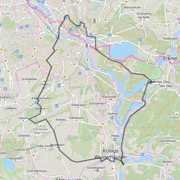
This round-trip cycling route starting near Karlshorst takes you on a journey through beautiful landscapes. With a moderate difficulty level and a rating of 3 for epicness, this route is suitable for well-trained amateur cyclists. Highlights along the route include the Müggelturm, Müggelheim, Königs Wusterhausen, Pennigsberg, Waßmannsdorf, Dörferblick, and Modellpark Berlin-Brandenburg. These attractions offer picturesque views, historical landmarks, and interesting cultural experiences.
road
74 km
118 m
Tough
Route profile
Highlights on the route
0 km
0 km
Start: Locality centerKarlshorst: Cycling-friendly locality with urban and natural landscapes.
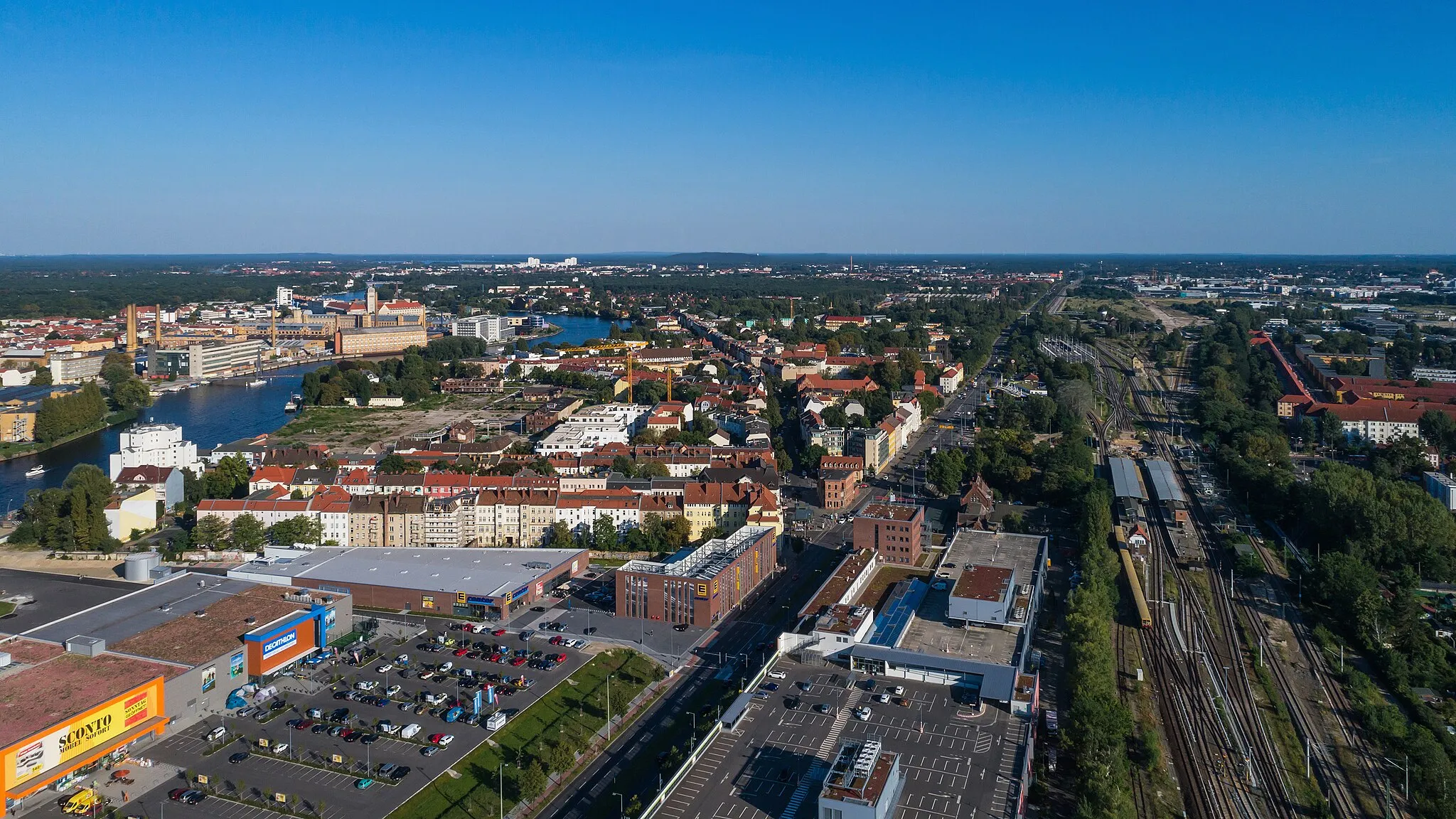
Karlshorst is a locality in Berlin, Germany. It offers a mix of urban and natural landscapes suitable for cyclists. Road cyclists can explore the city streets, while gravel cyclists can venture into nearby forests and parks. The locality is well-connected to Berlin's extensive cycle path network, making it easy to navigate and explore different areas. Karlshorst and its surrounding neighborhoods also host various cycling events throughout the year. With its cycling infrastructure and diverse cycling opportunities, Karlshorst ranks 3 on the cyclist's perspective scale.12 km
12 km
MüggelturmViewpointThe Müggelturm offers stunning panoramic views of the surrounding landscapes from atop its observation deck.
15 km
15 km
MüggelheimSub-urbMüggelheim is a charming village with quaint houses and a pleasant atmosphere that is worth exploring.
38 km
38 km
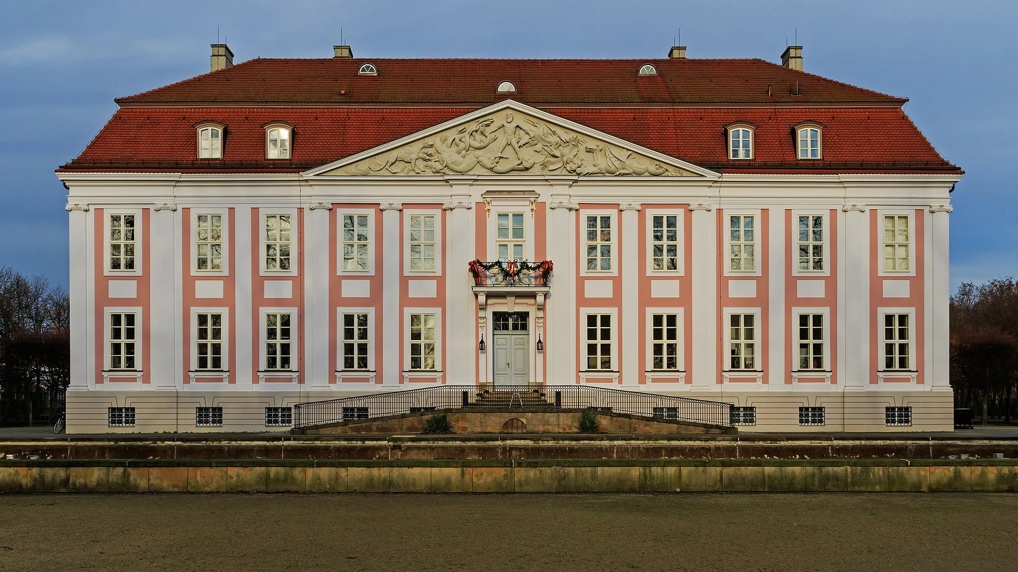
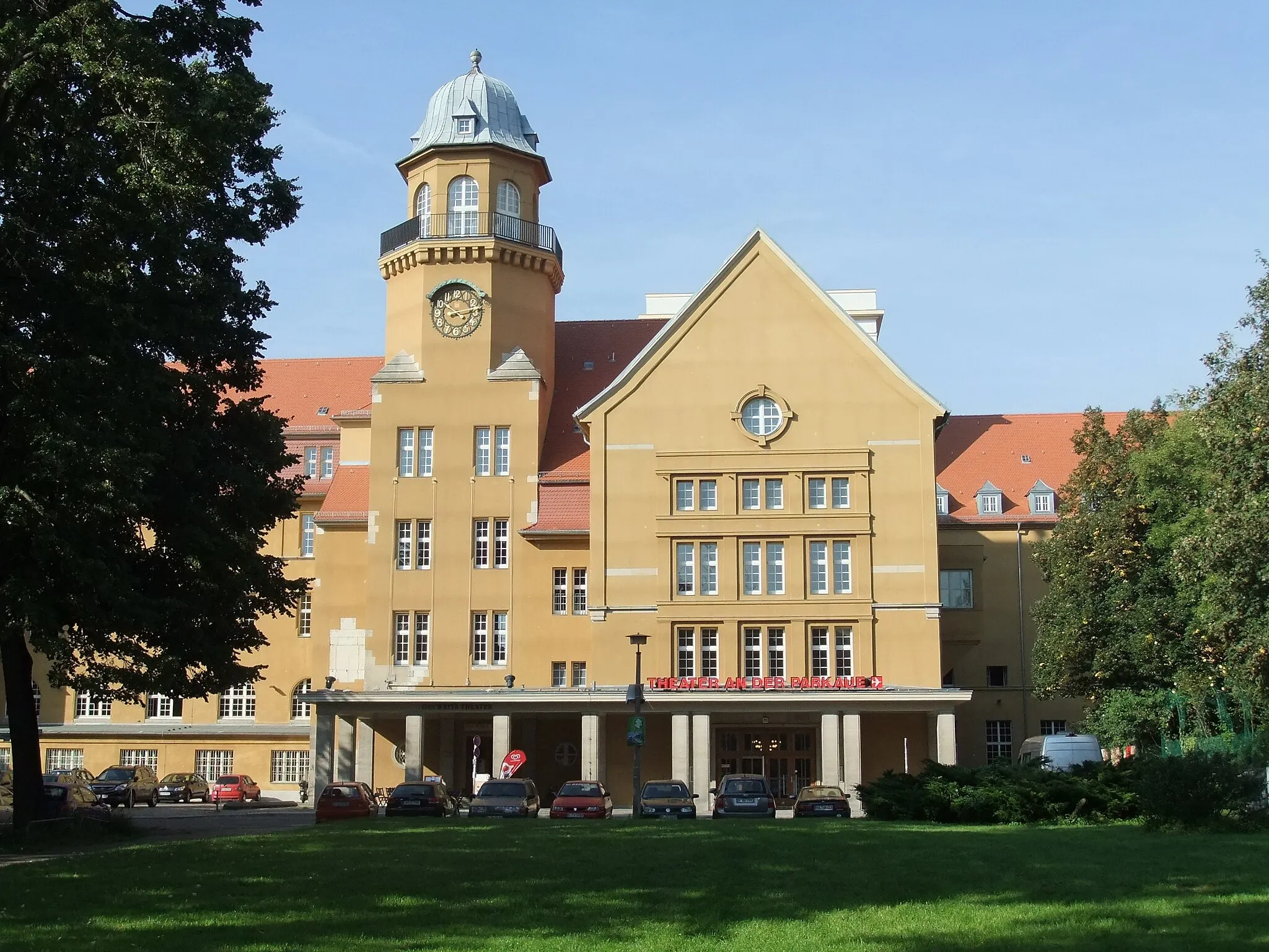
Königs WusterhausenTownKönigs Wusterhausen is known for its beautiful castle and rich history dating back to the 18th century.
39 km
39 km
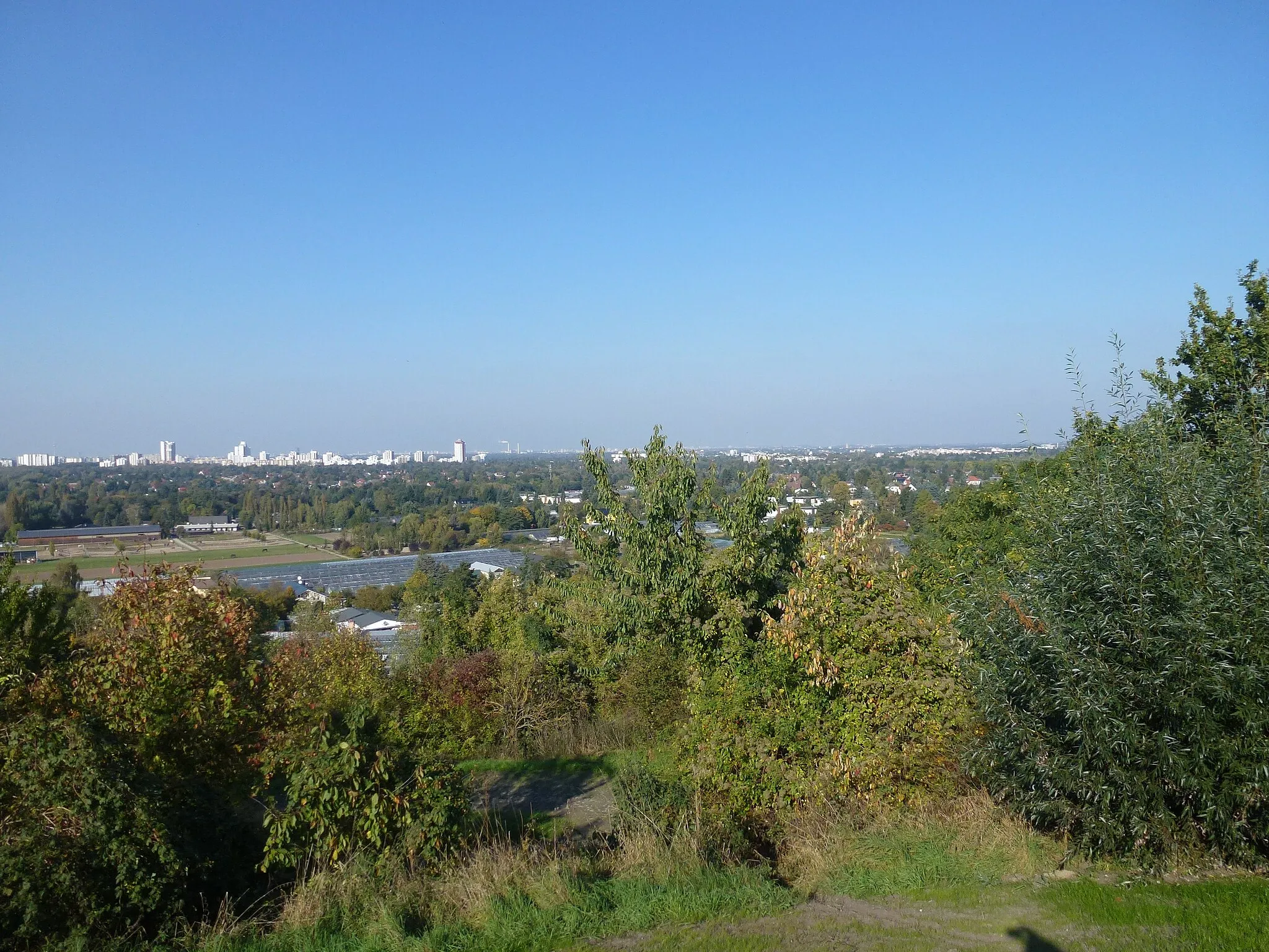
Pennigsberg48 mPeakPennigsberg is a hill offering expansive views of the surrounding countryside, making it a perfect spot for a photo opportunity.
58 km
58 km
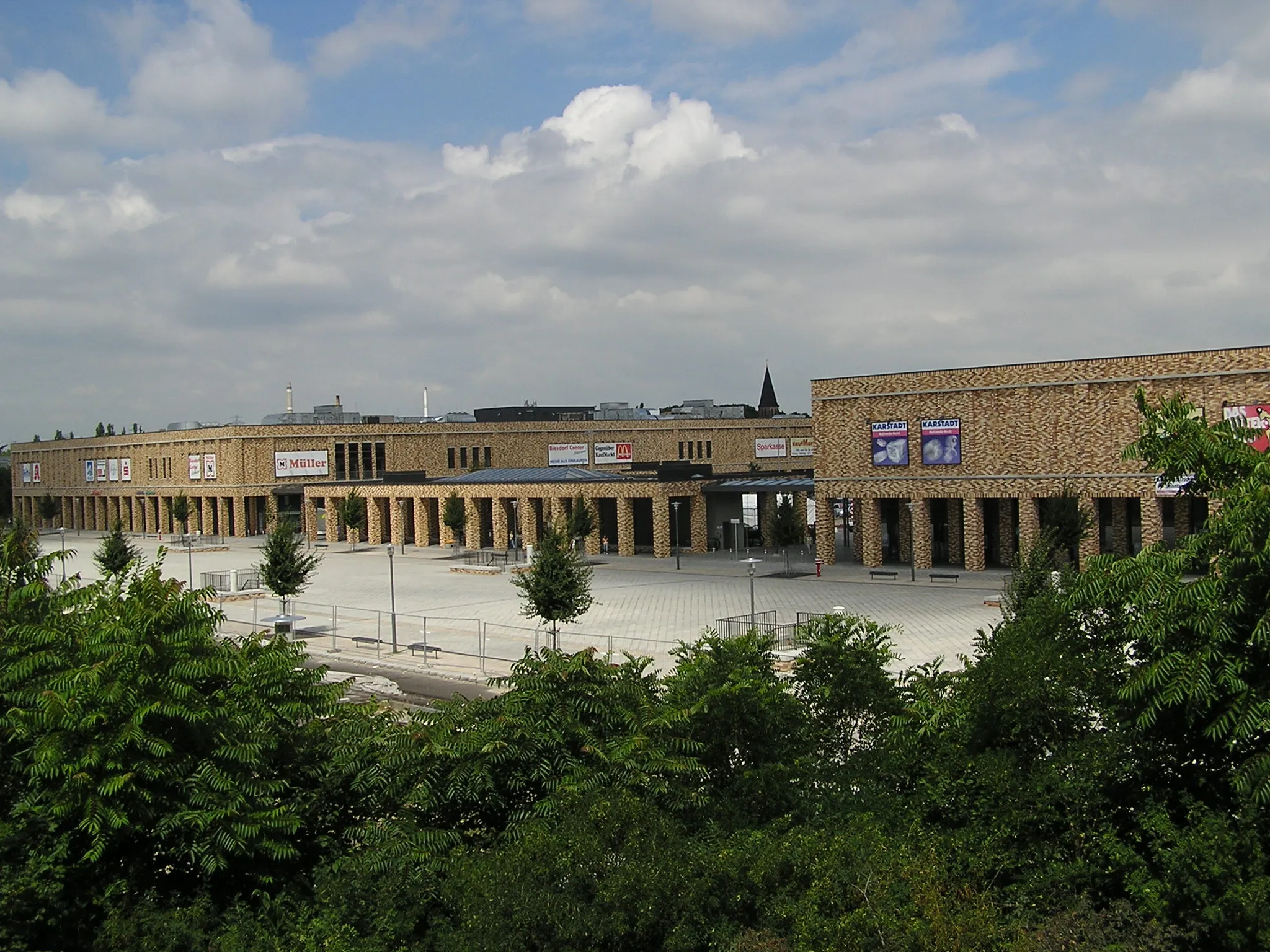
WaßmannsdorfVillageWaßmannsdorf is a small village with historical buildings and a peaceful, countryside ambiance.
62 km
62 km
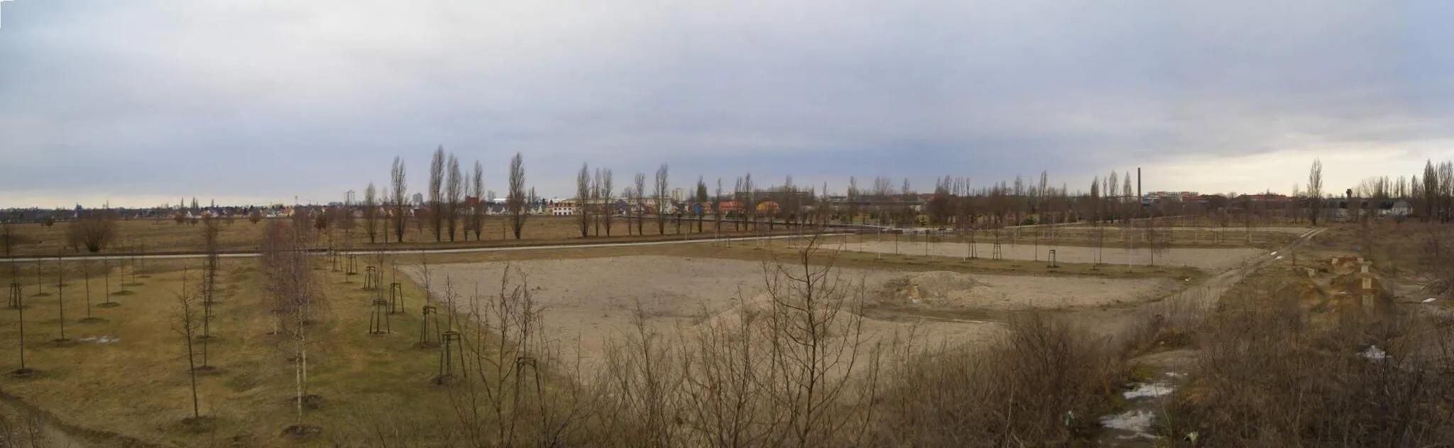
Dörferblick86 mPeakDörferblick is a lookout point providing panoramic views of the rural landscapes in the region.
72 km
72 km
Modellpark Berlin-BrandenburgAttractionModellpark Berlin-Brandenburg showcases miniature models of Berlin's iconic landmarks, offering a unique perspective on the city's architecture and history.
74 km
74 km
Finish: Locality centerKarlshorst: Cycling-friendly locality with urban and natural landscapes.
Cycling routes from Karlshorst:
Karlshorst-Köpenick Loop Karlshorst-Grünheide Adventure Karlshorst-Bestensee Loop Karlshorst-Gravel Exploration Karlshorst-Cultural Landmarks Landscape Loop Gravel Adventure Eastern Exploration Urban Adventure Nature's Retreat Exploring the Eastern Suburbs Berlin Countryside Tour Gravel Adventure to Köpenick
Cycling routes nearby: