Gravel adventure through Tann's countryside
A gravel cycling route starting from Tann
Embark on a gravel adventure through the picturesque countryside surrounding Tann
Map

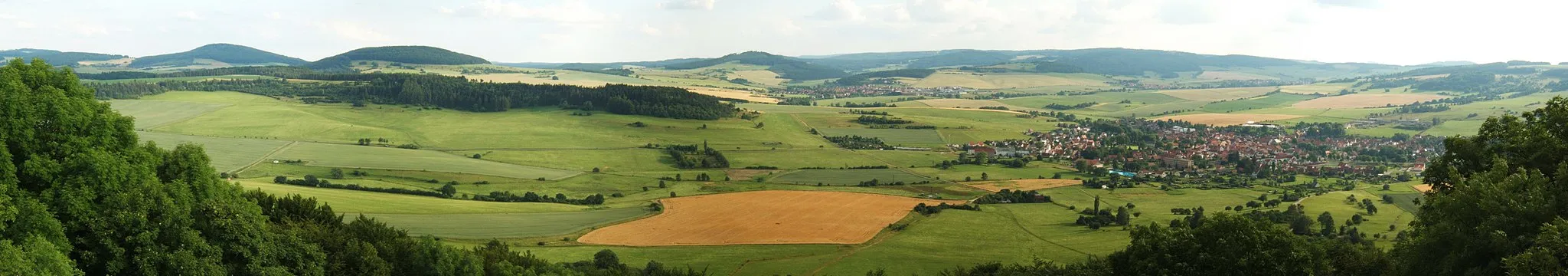
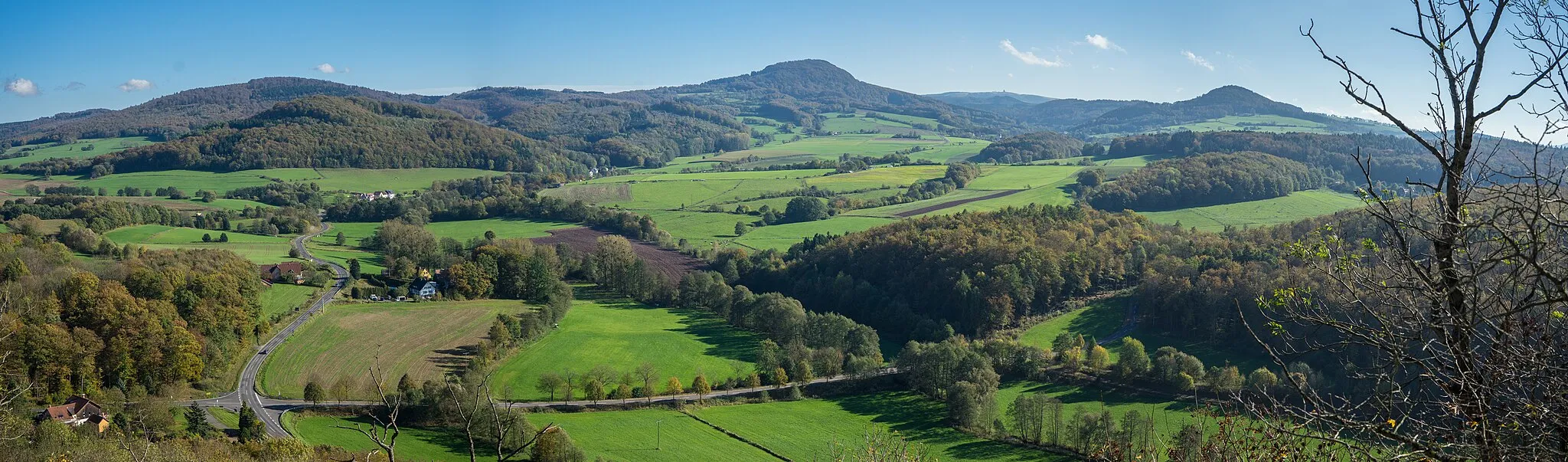
This gravel route takes you on an adventurous journey through the beautiful countryside surrounding Tann. With a distance of 50 kilometers and an ascent of 1310 meters, it offers a challenging and exciting experience for gravel cycling enthusiasts. The route is ideal for those seeking off-road exploration and breathtaking natural beauty. Along your ride, you'll discover several highlights that showcase the area's rural charm and scenic landscapes. Overall, this route provides the perfect balance of physical exertion, nature immersion, and rugged exploration of Tann's countryside.
gravel
50 km
1310 m
Tough
Route profile
Highlights on the route
0 km
0 km
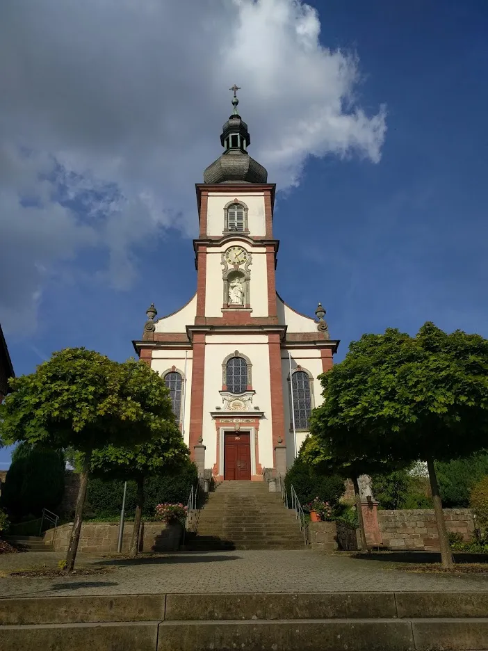
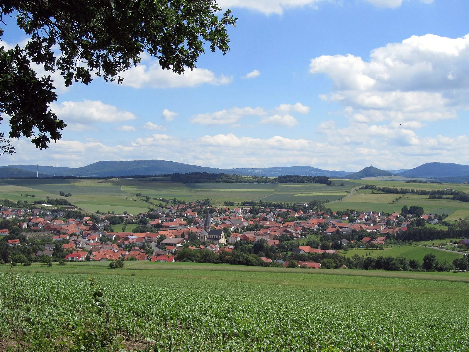
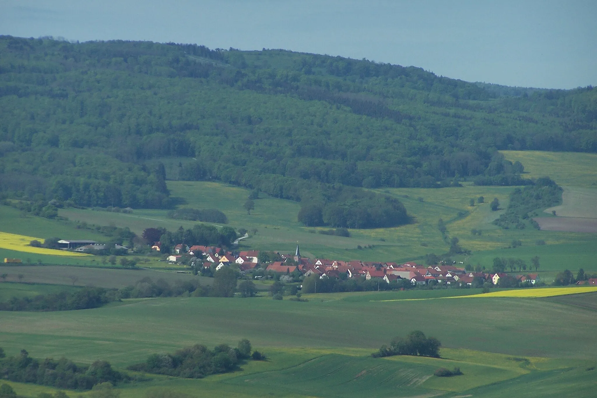
Start: Tann Village centerTann: A leisurely cycling experience in the tranquil countryside of Tann.
Tann, located in Germany's Kassel region, offers a moderate cycling experience. The locality provides beautiful country roads and gravel paths for cyclists to explore. There are no famous cycling-related spots or well-known climbs nearby. Tann is suitable for beginners or leisurely rides but may be considered dull for experienced cyclists looking for more challenging terrain.9 km
9 km
Arnsberg661 mPeakLocated 9 kilometers into the route, Arnsberg is a quaint village surrounded by rolling hills and idyllic landscapes.
10 km
10 km
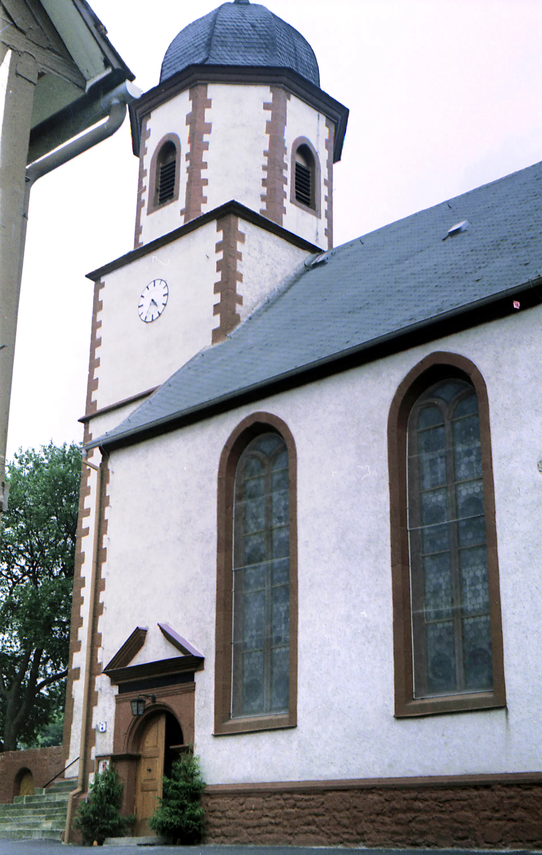
SteinbergHamletSteinberg can be found at the 10-kilometer mark and offers a peaceful retreat amidst nature's tranquility and picturesque settings.
29 km
29 km
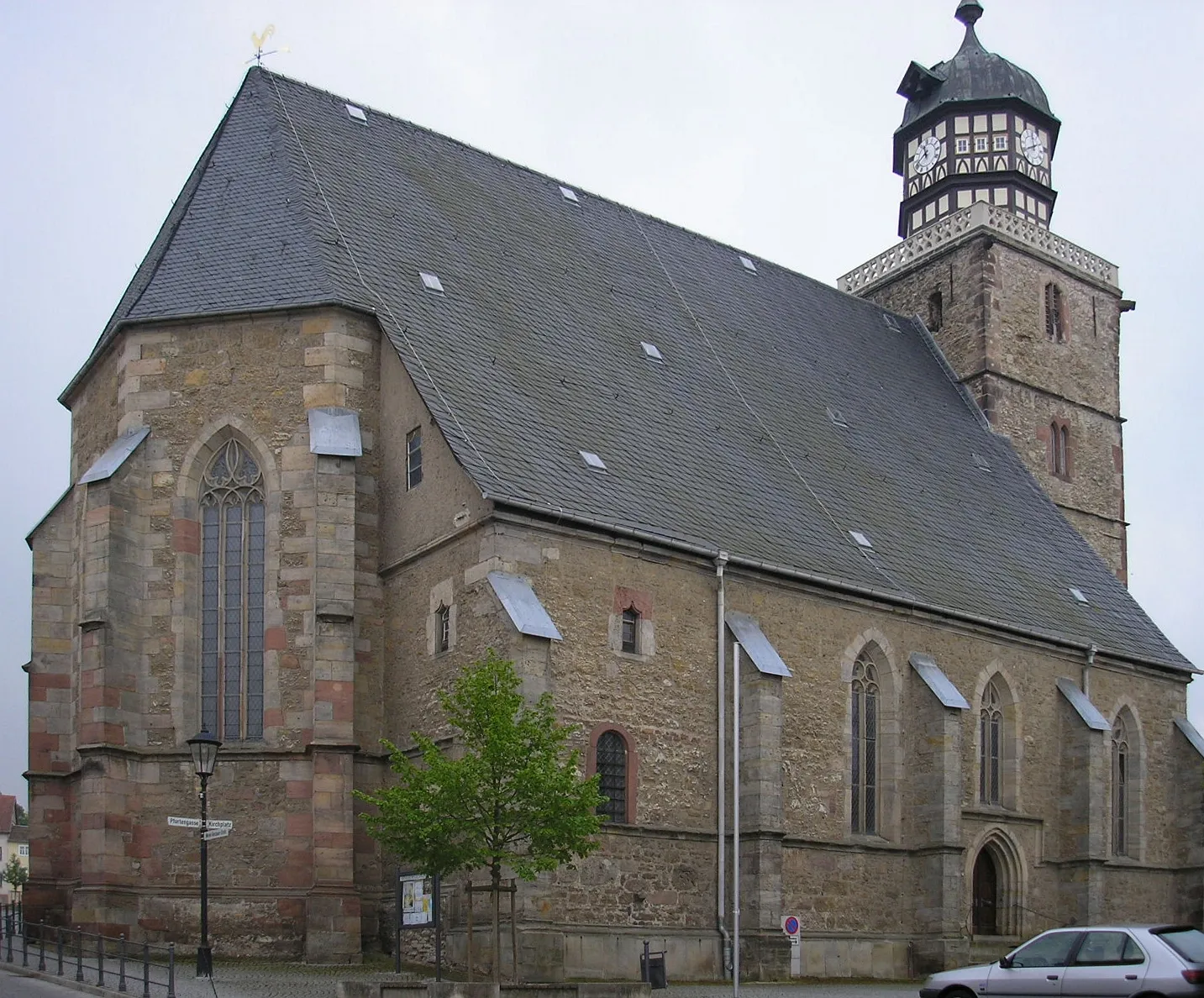
OepfershausenVillageOepfershausen, situated at the 29-kilometer mark, charms with its authentic rural atmosphere and scenic countryside.
30 km
30 km
Krücke604 mPeakKrücke, located at the 30-kilometer mark, boasts lush green fields and a charming ambiance that invites you to take a moment to appreciate its beauty.
40 km
40 km
KaltenwestheimVillageKaltenwestheim, at the 40-kilometer mark, offers a pleasant pit stop surrounded by enchanting natural landscapes and rolling hills.
47 km
47 km
Birkenberg643 mPeakBirkenberg, situated at the 47-kilometer mark, rewards you with stunning panoramic views, showcasing the mesmerizing beauty of Tann's countryside.
50 km
50 km
Finish: Tann Village centerTann: A leisurely cycling experience in the tranquil countryside of Tann.
Cycling routes nearby: