Cycling adventure through Tann's hinterland
A road cycling route starting from Tann
Embark on a cycling adventure through the scenic hinterland of Tann
Map

This road cycling route takes you on an adventure through the scenic hinterland of Tann. With a total distance of 73 kilometers and an ascent of 812 meters, this route offers a moderate yet enjoyable challenge for road biking enthusiasts. As you navigate through the route, you'll encounter several highlights that showcase the region's natural beauty and historical landmarks. From charming villages to panoramic landscapes, this route provides a well-rounded experience for cyclists. Overall, this route offers a great mix of cycling challenges, cultural discoveries, and mesmerizing surroundings, making it a memorable journey for all riders.
road
73 km
812 m
Tough
Route profile
Highlights on the route
0 km
0 km
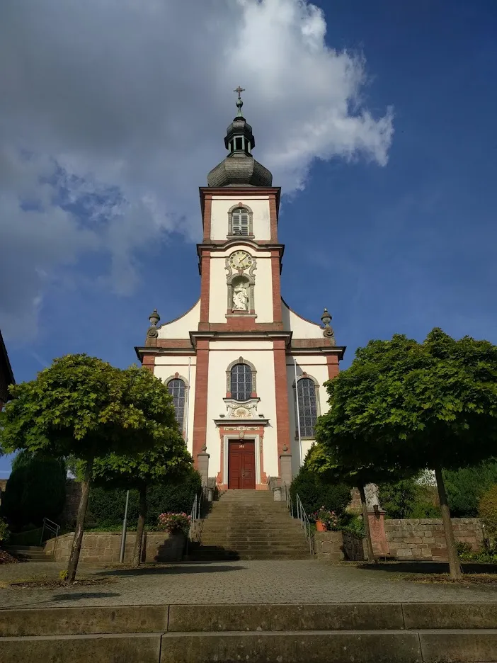
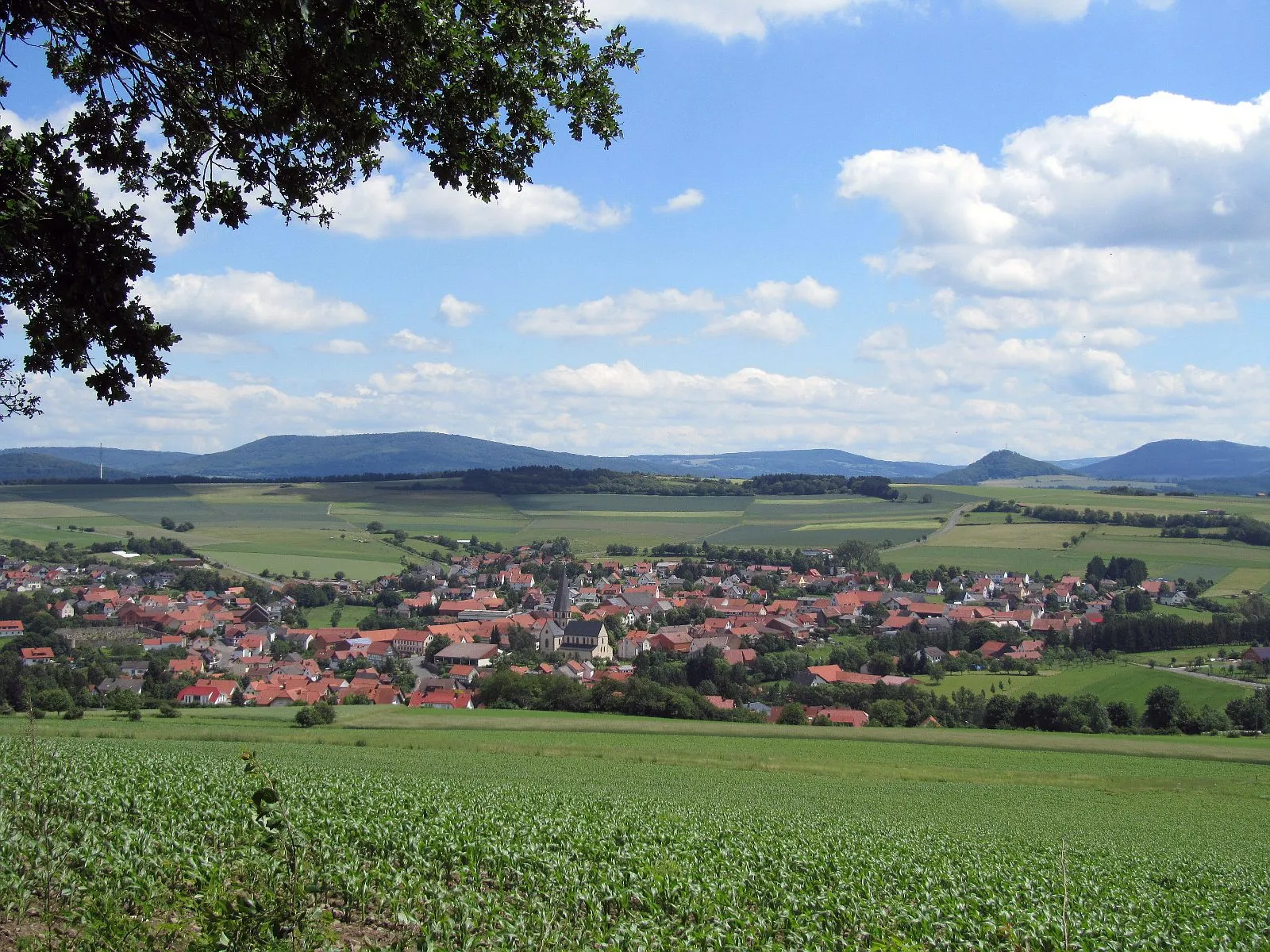
Start: Tann Village centerTann: A leisurely cycling experience in the tranquil countryside of Tann.
Tann, located in Germany's Kassel region, offers a moderate cycling experience. The locality provides beautiful country roads and gravel paths for cyclists to explore. There are no famous cycling-related spots or well-known climbs nearby. Tann is suitable for beginners or leisurely rides but may be considered dull for experienced cyclists looking for more challenging terrain.16 km
16 km
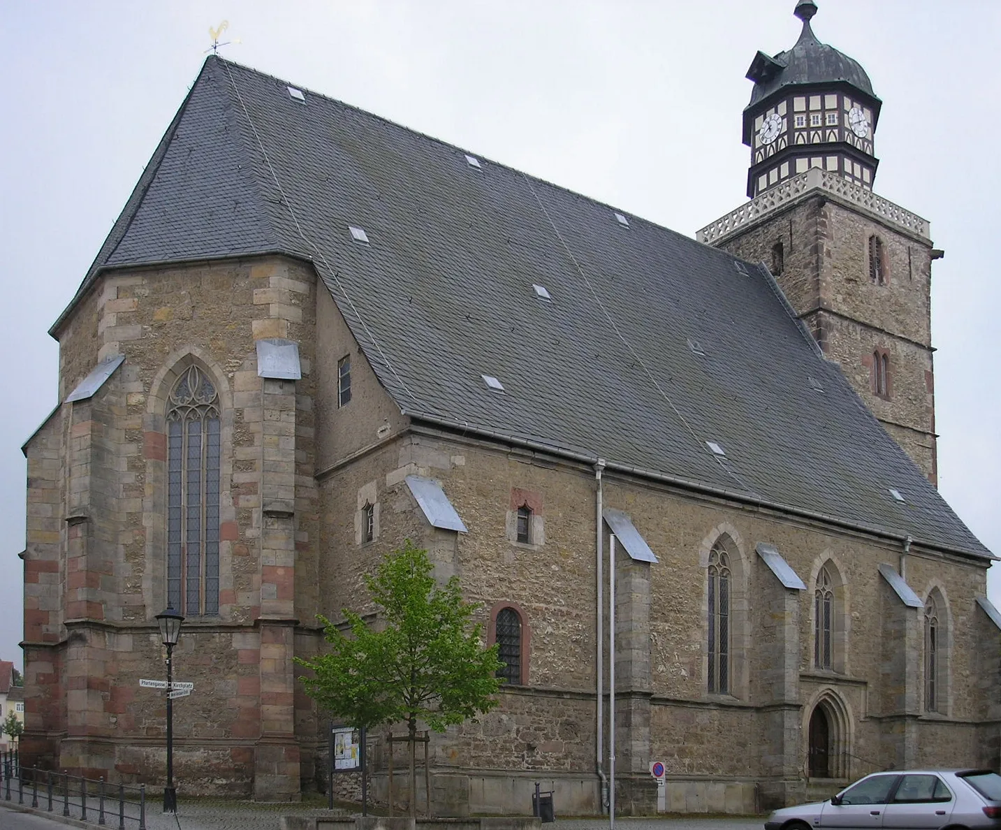
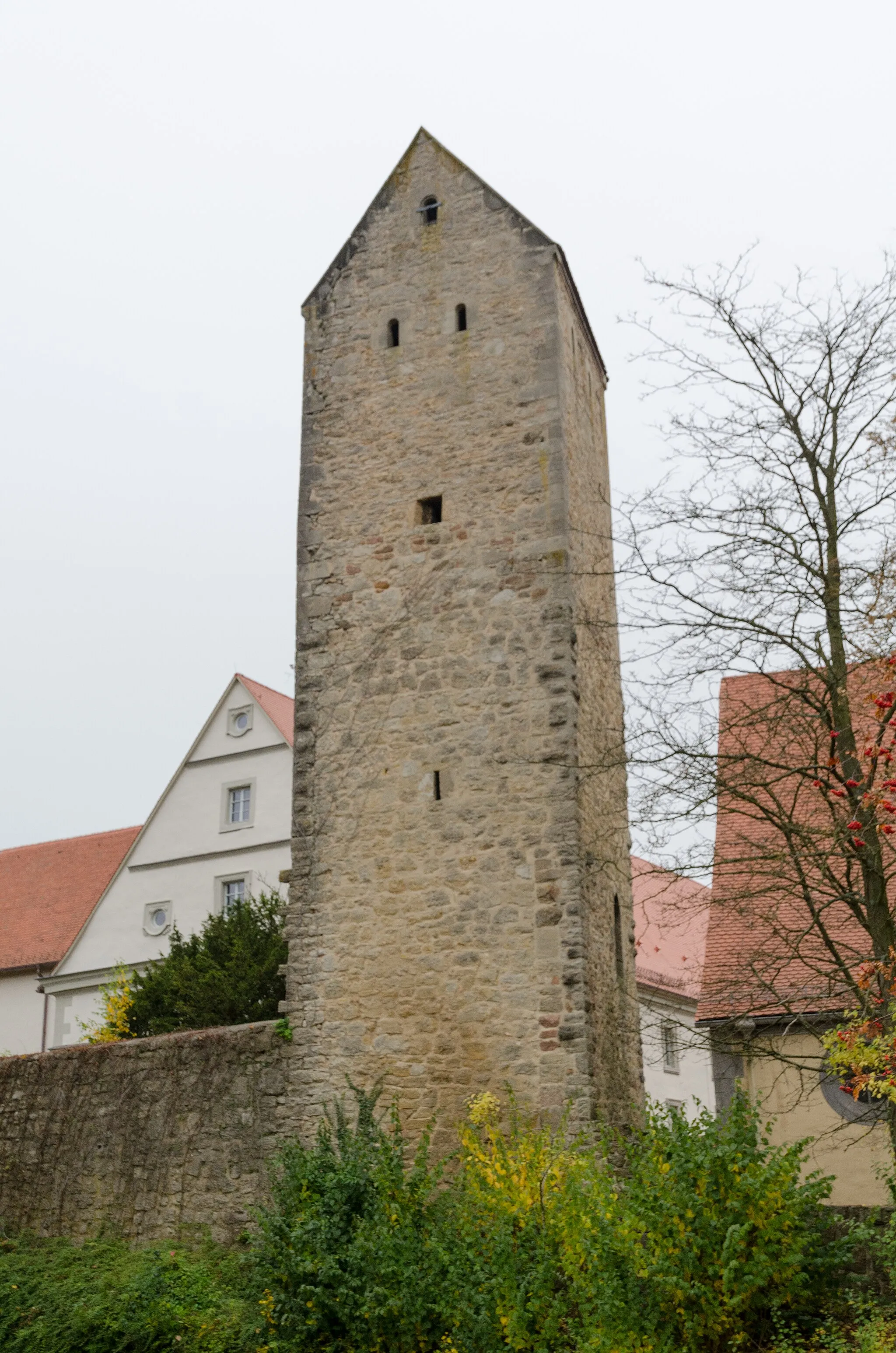
OberbernhardsHamletOberbernhards, located at the 16-kilometer mark, is a picturesque village that greets you with its traditional architecture and serene countryside setting.
16 km
16 km
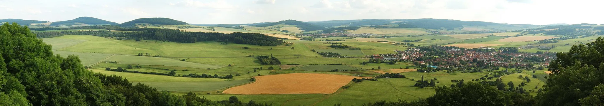
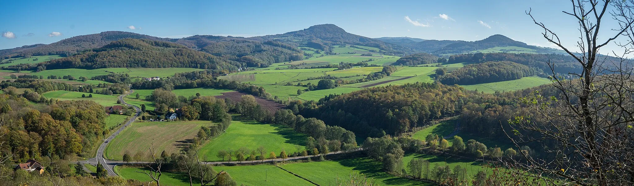
Oberbernhardser Höhe661 mPeakOberbernhardser Höhe awaits you at the 16-kilometer mark, offering scenic viewpoints where you can overlook the Tann region's beauty.
33 km
33 km
Rauschenberg471 mPeakRauschenberg, situated at the 33-kilometer mark, captivates with its charming village ambiance and pristine landscapes.
37 km
37 km
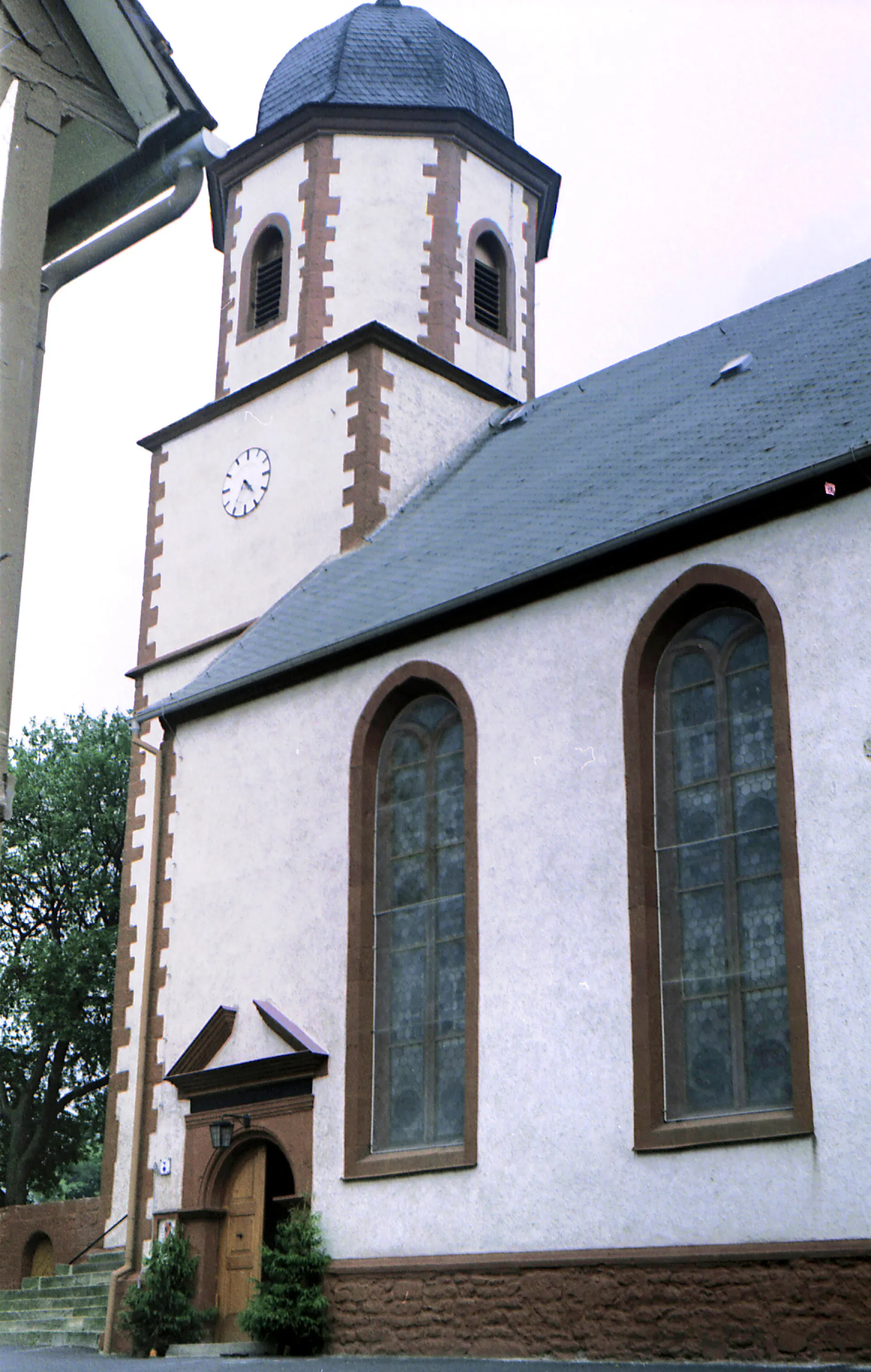
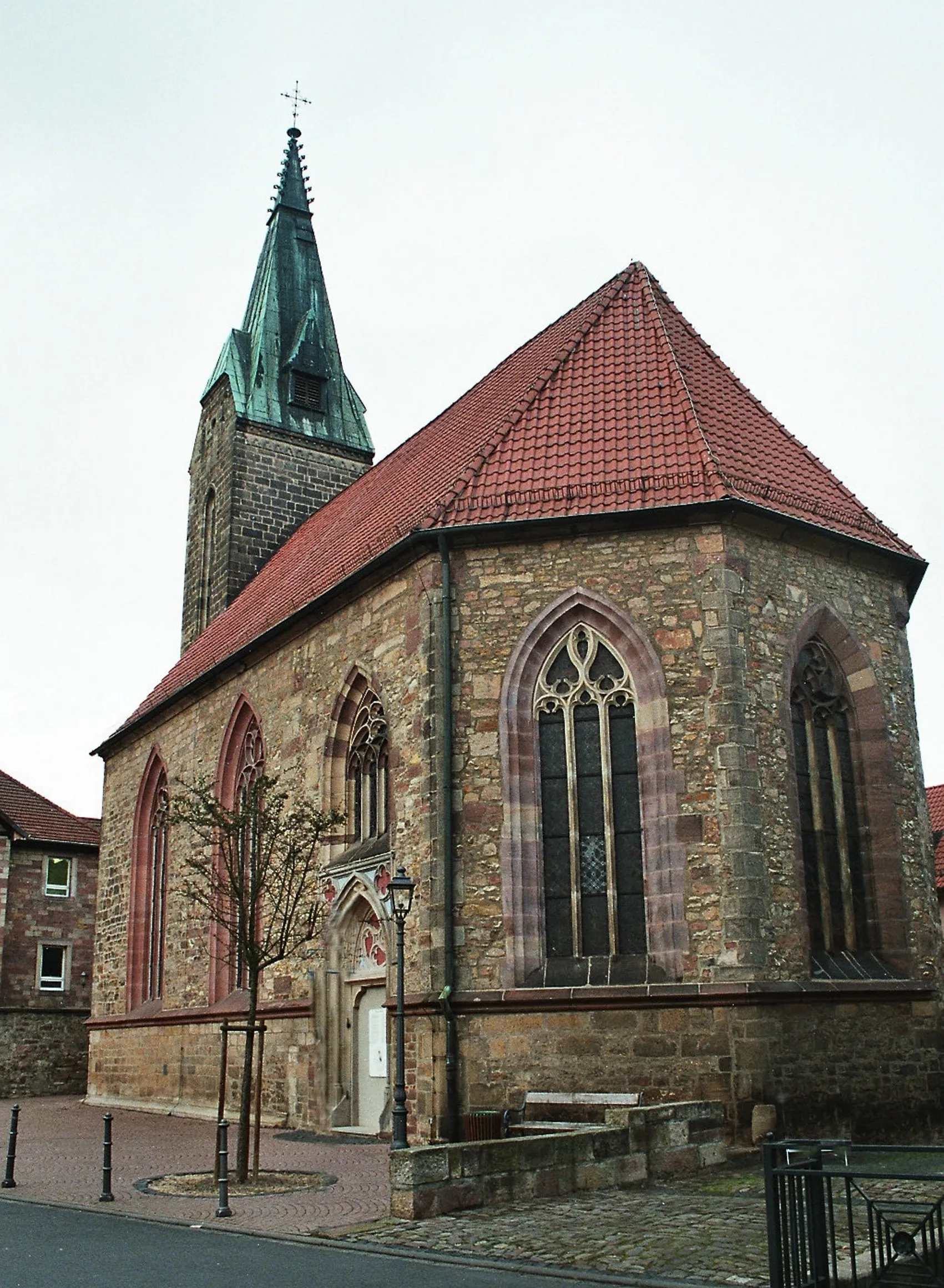
BernhardsVillageAs you reach the 37-kilometer mark, Bernhards invites you to explore its enchanting rural atmosphere and enjoy the peacefulness of the countryside.
45 km
45 km
Müllersrain306 mPeakMüllersrain, located at the 45-kilometer mark, provides a breath of fresh air amidst verdant landscapes and picturesque farmland.
61 km
61 km
WiesenfeldVillageWiesenfeld, situated at the 61-kilometer mark, immerses you in its tranquil countryside charm and showcases stunning views.
73 km
73 km
TannVillageTann, the culmination of this route, is a charming town that welcomes you with a rich history, picturesque streets, and a warm hospitality that makes it a must-visit spot for all cyclists.
73 km
73 km
Finish: Tann Village centerTann: A leisurely cycling experience in the tranquil countryside of Tann.
Cycling routes nearby: