Discover the hills of Tann
A road cycling route starting from Tann
Bike through the hilly landscapes surrounding Tann
Map

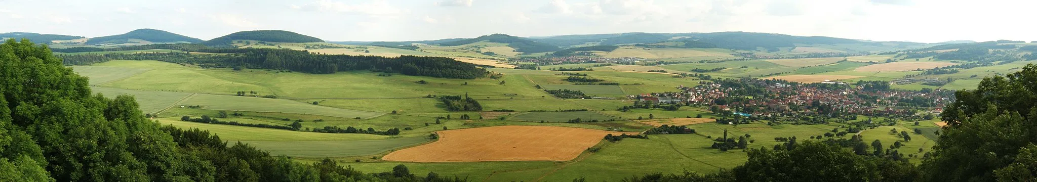
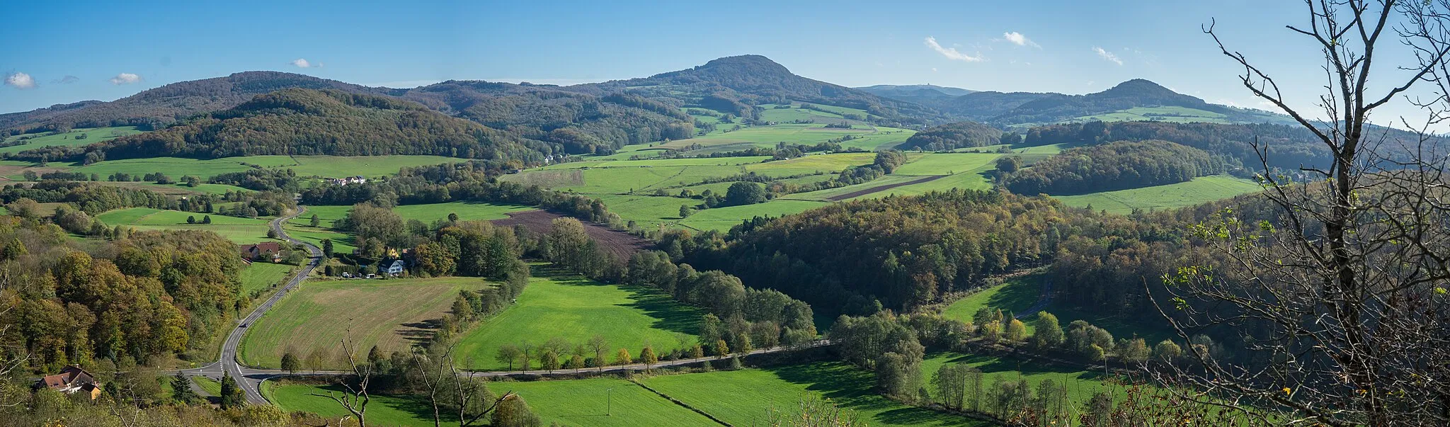
This cycling route takes you on a journey through the beautiful hilly landscapes surrounding Tann. With a total distance of 94 kilometers and an ascent of 1222 meters, it provides a challenging yet rewarding experience for avid cyclists. The route is best suited for road biking enthusiasts who enjoy climbing and adventuring through scenic countryside. Along the way, you'll encounter several highlights that add cultural and natural charm to your journey. Overall, this route offers a great combination of physical exertion, stunning surroundings, and cultural attractions.
road
94 km
1222 m
Tough
Route profile
Highlights on the route
0 km
0 km
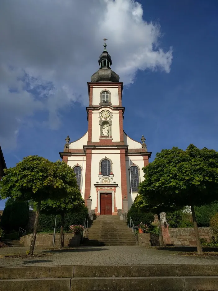
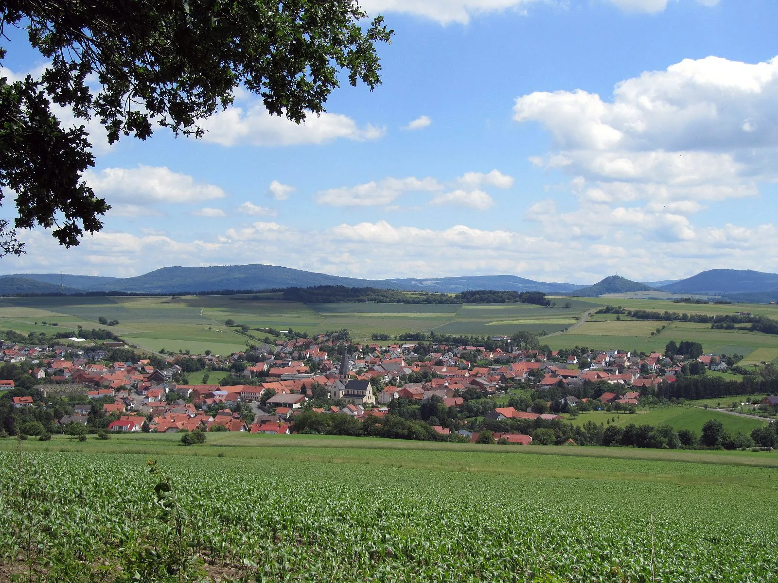
Start: Tann Village centerTann: A leisurely cycling experience in the tranquil countryside of Tann.
Tann, located in Germany's Kassel region, offers a moderate cycling experience. The locality provides beautiful country roads and gravel paths for cyclists to explore. There are no famous cycling-related spots or well-known climbs nearby. Tann is suitable for beginners or leisurely rides but may be considered dull for experienced cyclists looking for more challenging terrain.8 km
8 km
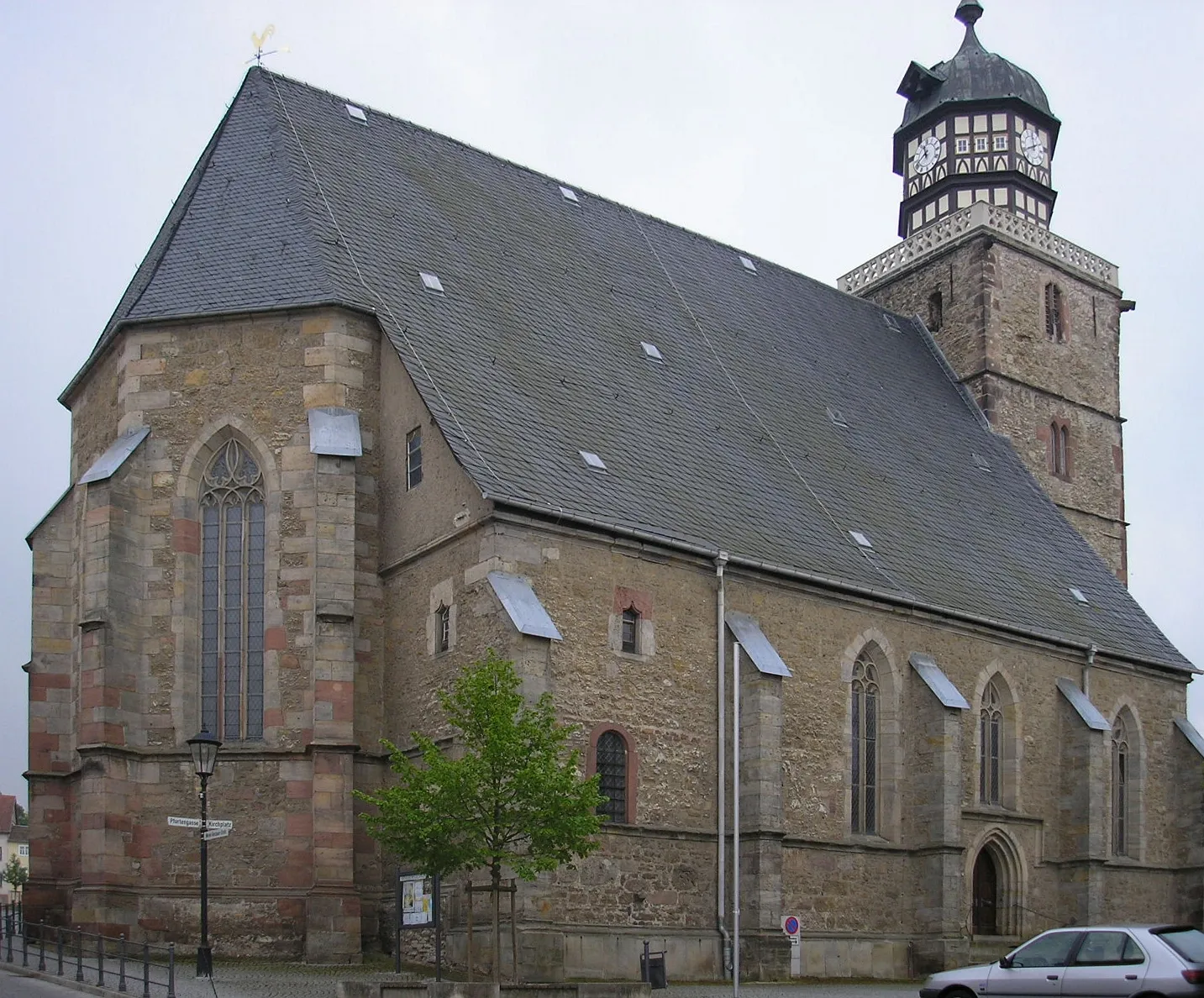
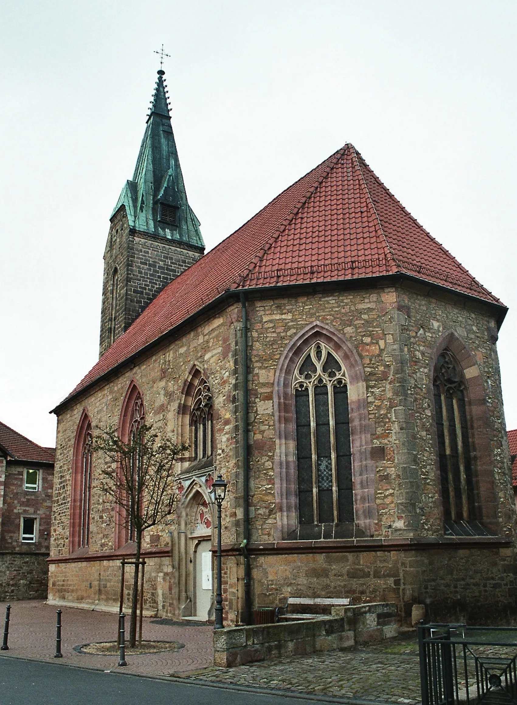
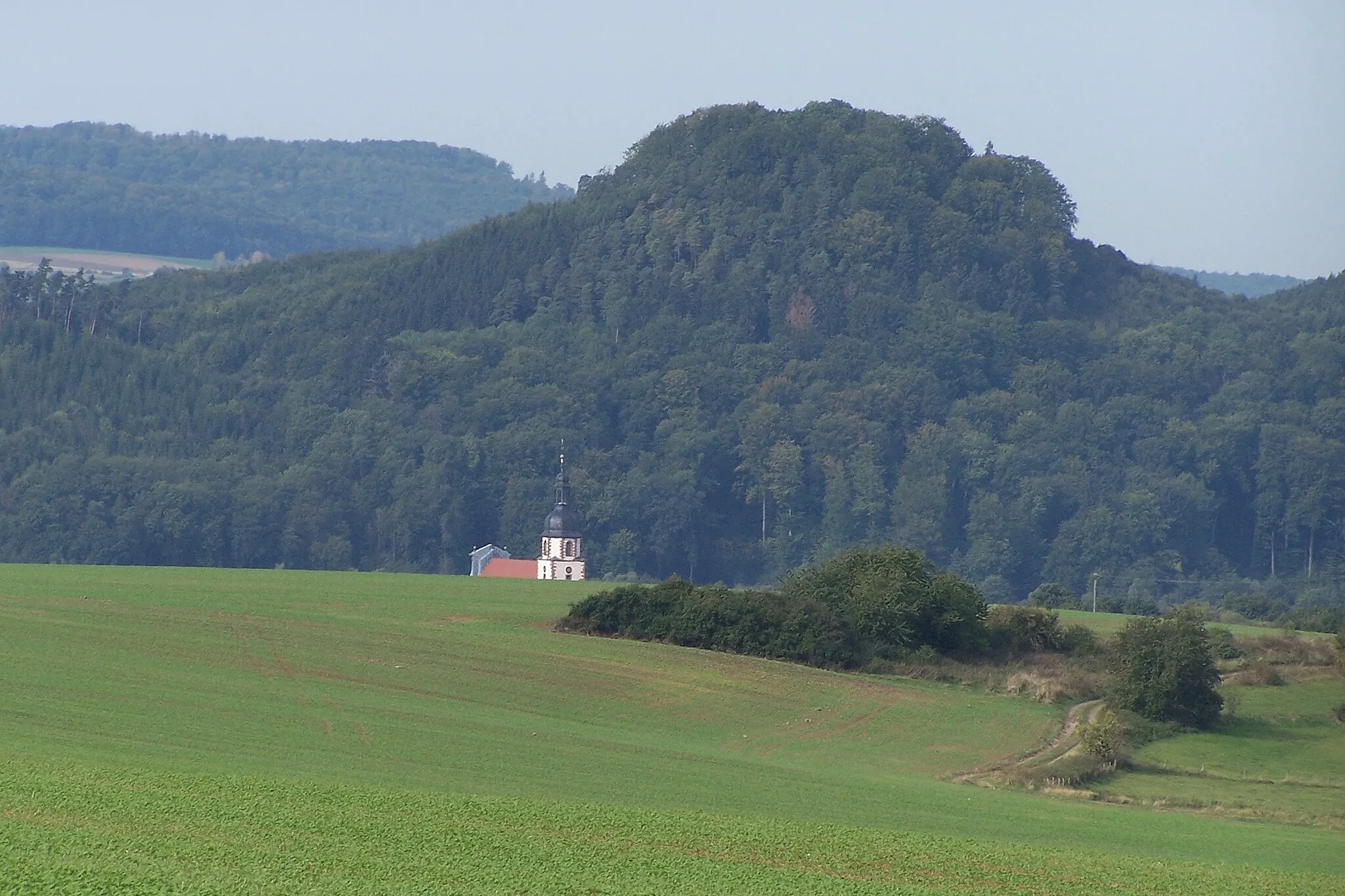
SchleidVillageLocated at 8 kilometers along the route, Schleid is a charming village known for its half-timbered houses and historic charm.
16 km
16 km
Standorfsberg386 mPeakAt the 16-kilometer mark, you'll reach Standorfsberg, an ancient hilltop fortress with panoramic views of the surrounding countryside.
32 km
32 km
LautenhausenVillageLautenhausen, situated 32 kilometers into the route, is a picturesque hamlet boasting idyllic landscapes and well-preserved architectural gems.
38 km
38 km
Nadelöhr471 mPeakThe Nadelöhr, a natural rock formation located 38 kilometers into the route, offers a unique geological sight worth experiencing.
46 km
46 km
KleinenseeVillageKleinensee, at the 46-kilometer mark, is a tranquil lake surrounded by lush forests, providing a perfect spot for a well-deserved break.
57 km
57 km
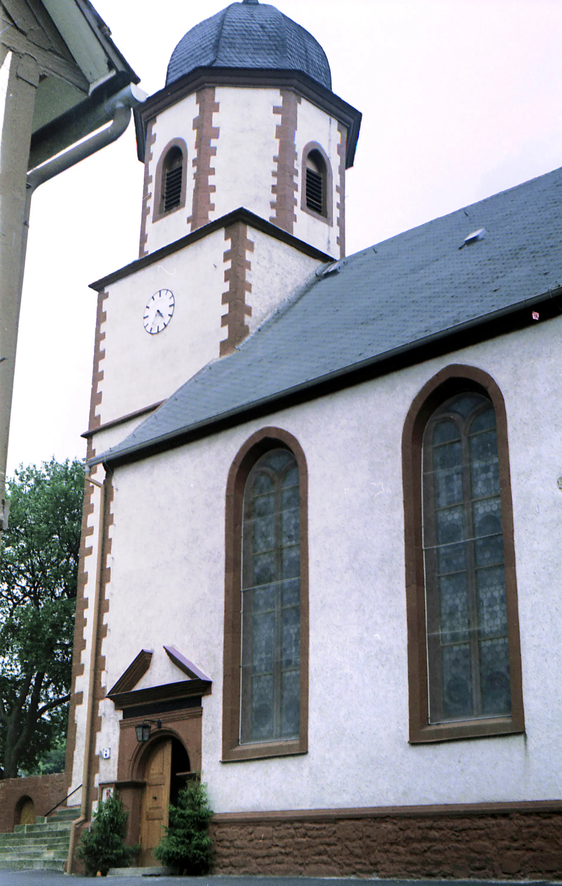
Vitzeröder KreuzViewpointVitzeröder Kreuz is a small crossroad village known for its charming collection of timber-framed houses. Worth a quick visit if time allows.
80 km
80 km
LendersHamletAs you approach Lenders at the 80-kilometer mark, you'll be greeted by rolling hills and stunning landscapes, making it a highlight of the route.
88 km
88 km
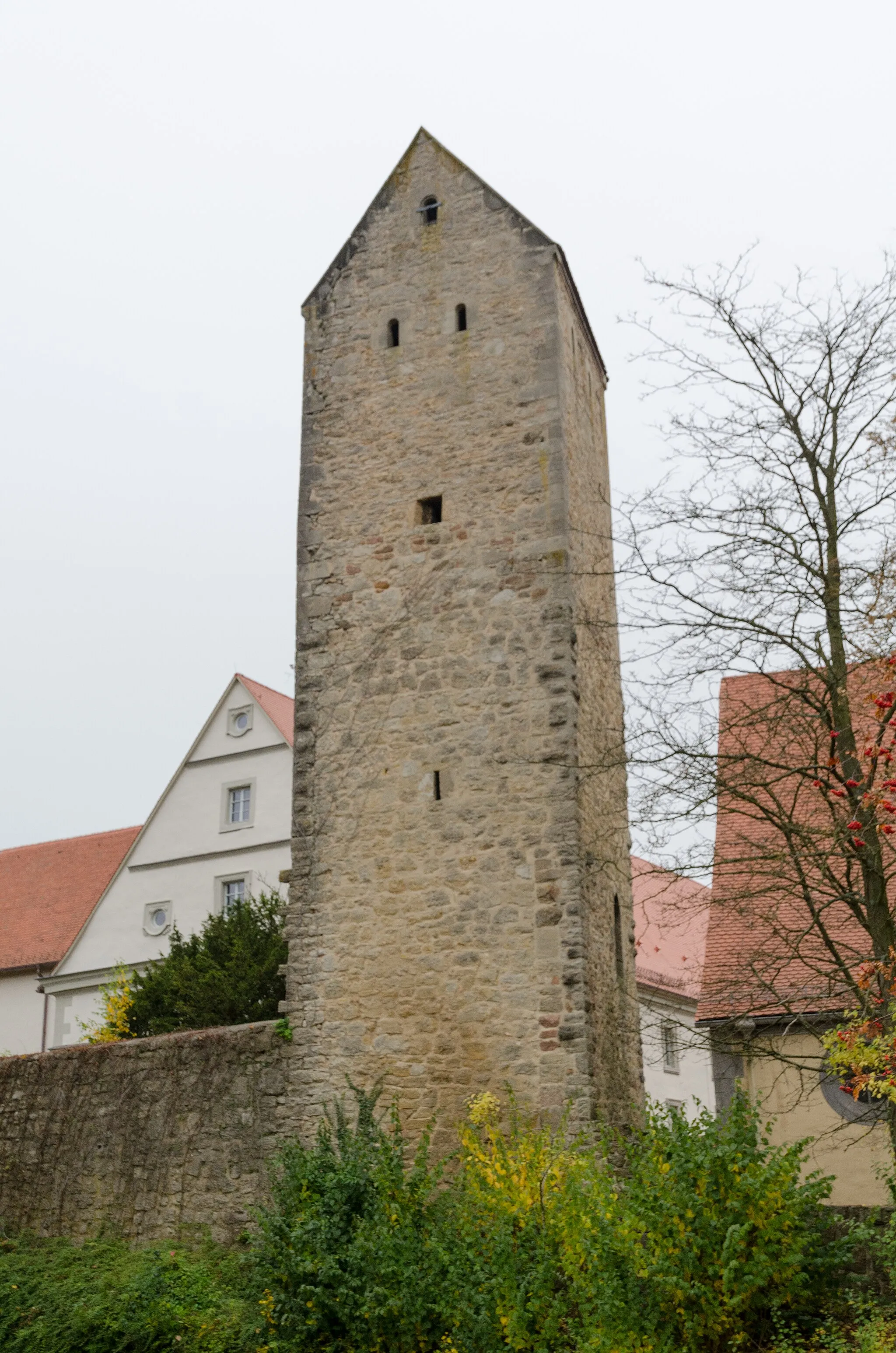
Katzenstein612 mPeakLocated 88 kilometers into the route, Katzenstein offers impressive ruins of a medieval castle, adding historical flair to your journey.
94 km
94 km
Finish: Tann Village centerTann: A leisurely cycling experience in the tranquil countryside of Tann.
Cycling routes nearby: