Kassel-Witze
A road cycling route starting from Tann
Be amused as you cycle through the beautiful Witzenhausen region near Kassel.
Map

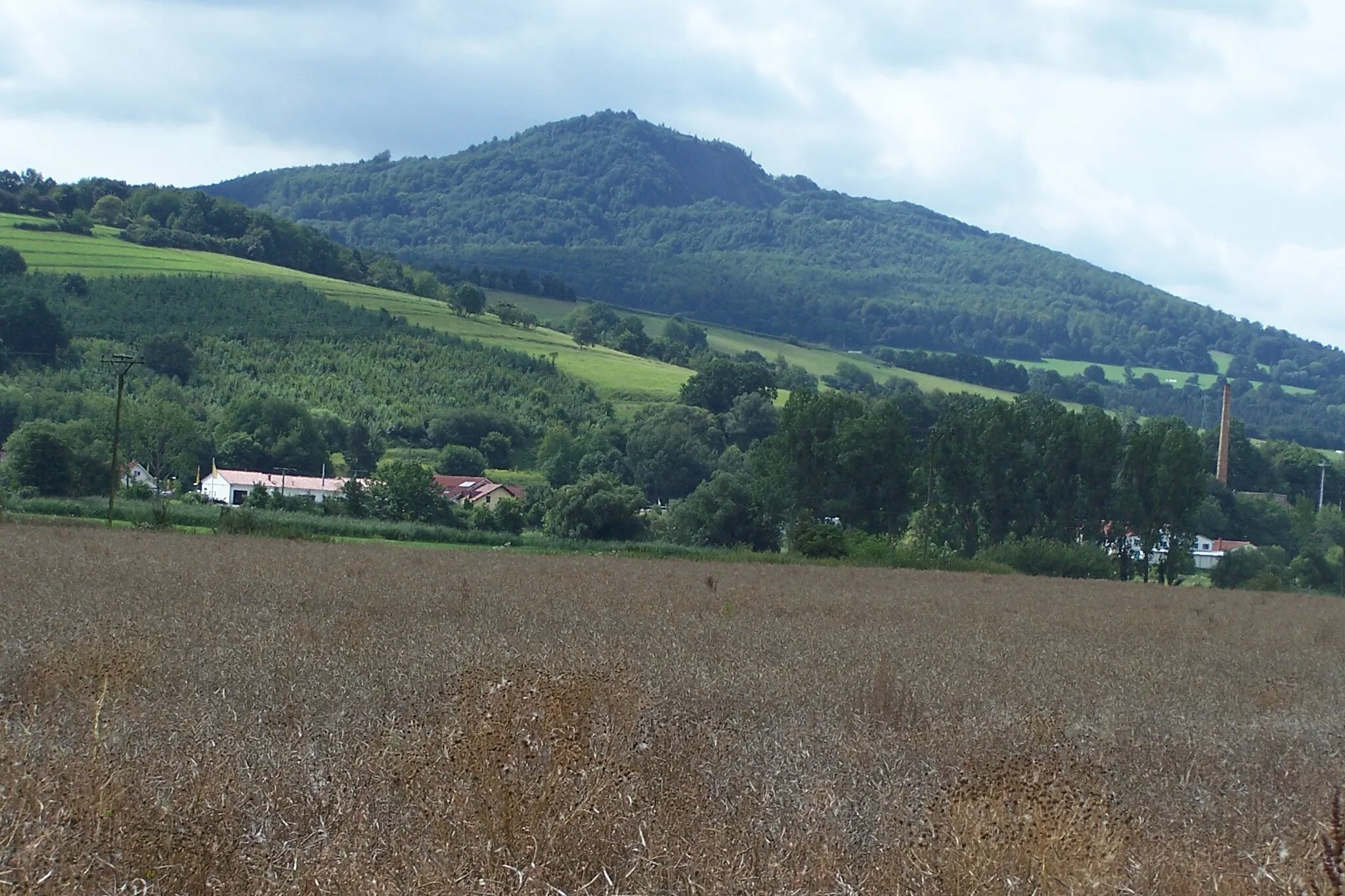
The Kassel-Witze route takes you through the picturesque region of Witzenhausen, located near Kassel in Germany. With a total distance of 96 km and an ascent of 1430 m, the route offers a challenging yet rewarding cycling experience. Take in the breathtaking views as you cycle through the scenic landscapes and marvel at the rolling hills. The route is suitable for road bikes and offers a mix of moderate and steep inclines. With highlights such as the Heilige Hauck, Geismar, and Gehilfersberg, this route promises a memorable cycling adventure for riders seeking a moderate difficulty level.
road
96 km
1430 m
Tough
Route profile
Highlights on the route
0 km
0 km
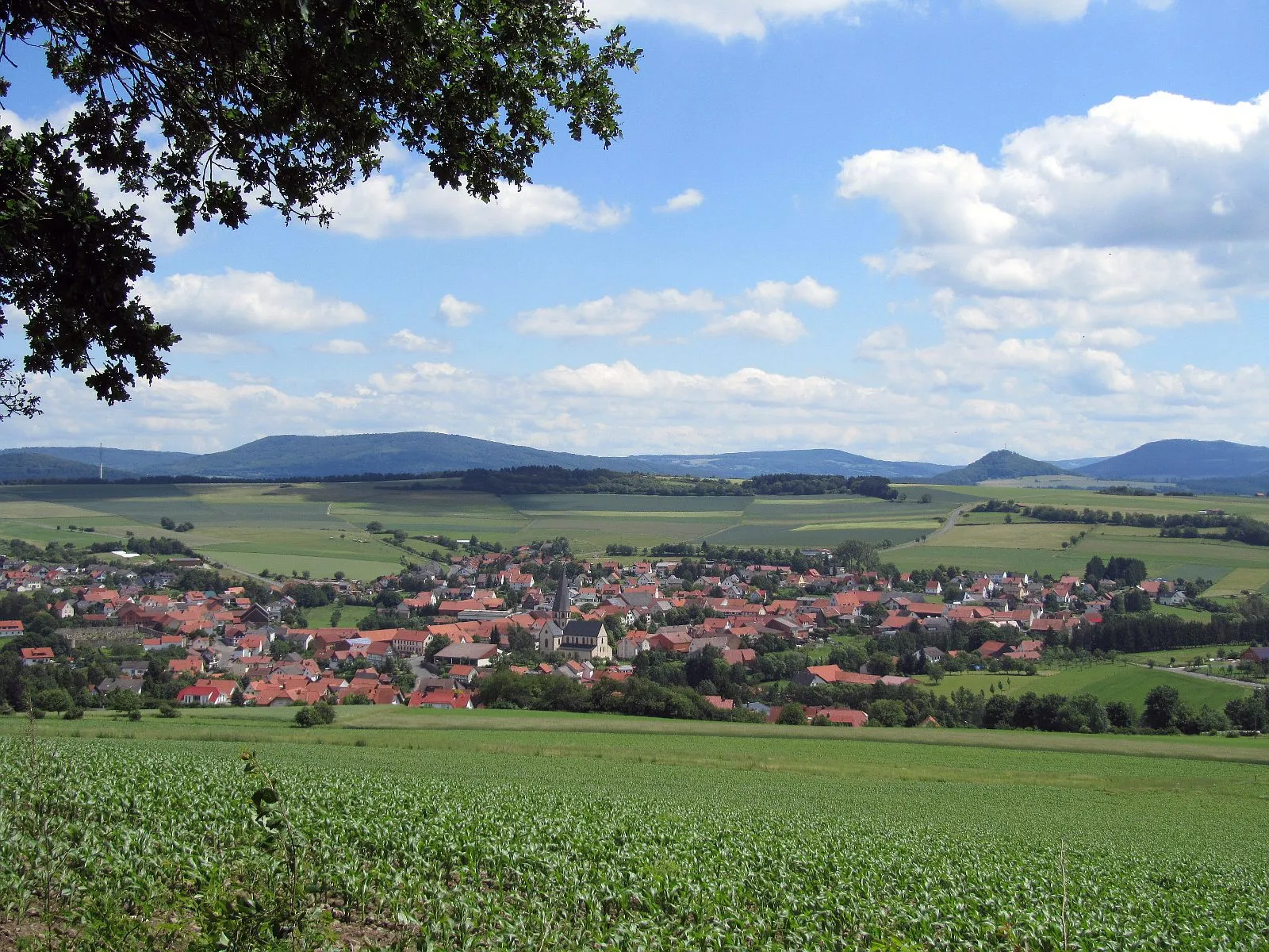
Start: Tann Village centerTann: A leisurely cycling experience in the tranquil countryside of Tann.
Tann, located in Germany's Kassel region, offers a moderate cycling experience. The locality provides beautiful country roads and gravel paths for cyclists to explore. There are no famous cycling-related spots or well-known climbs nearby. Tann is suitable for beginners or leisurely rides but may be considered dull for experienced cyclists looking for more challenging terrain.9 km
9 km
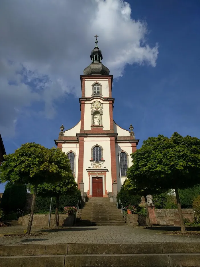
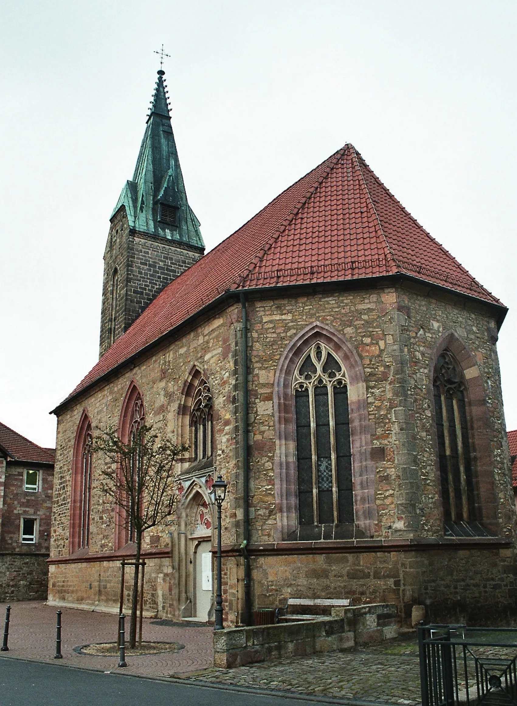
Heilige Hauck451 mPeakHeilige Hauck is a historic church that dates back to the 13th century. It is known for its stunning architecture and beautiful surroundings. Take a break here and soak in the peaceful ambiance.
12 km
12 km
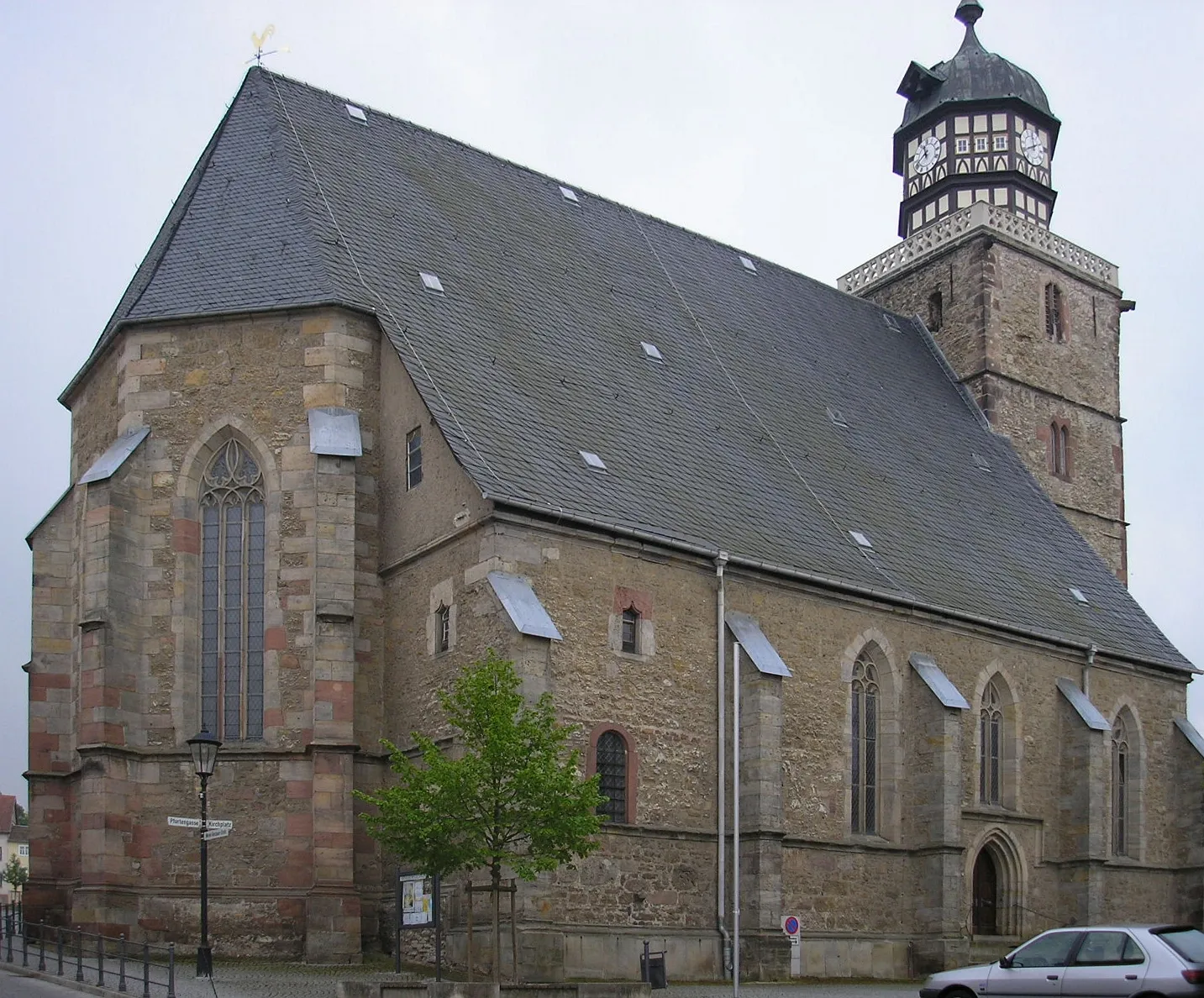
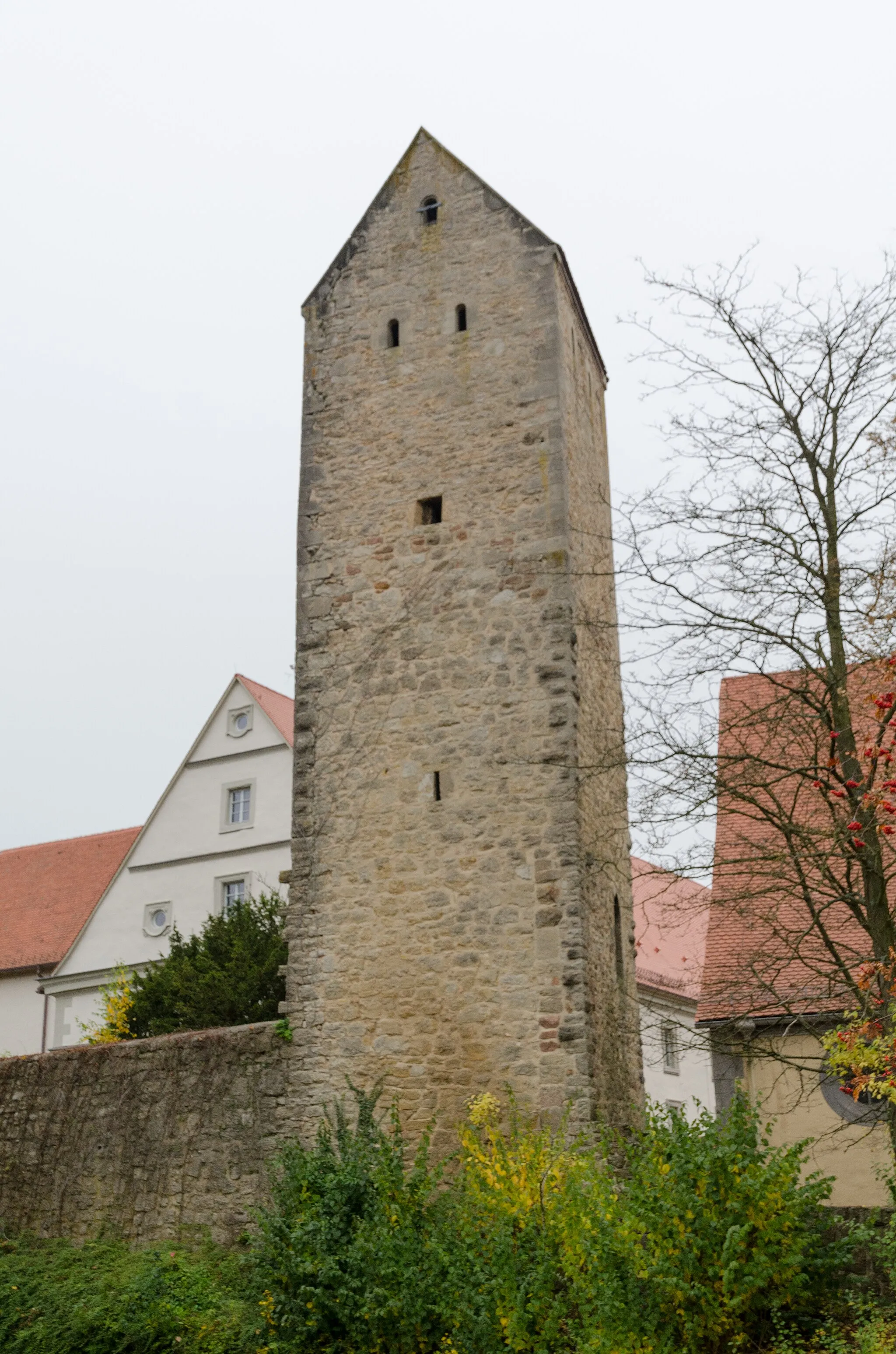
GeismarVillageGeismar is a charming village with traditional half-timbered houses and a historic church. Explore the village and learn about its rich history and culture.
20 km
20 km
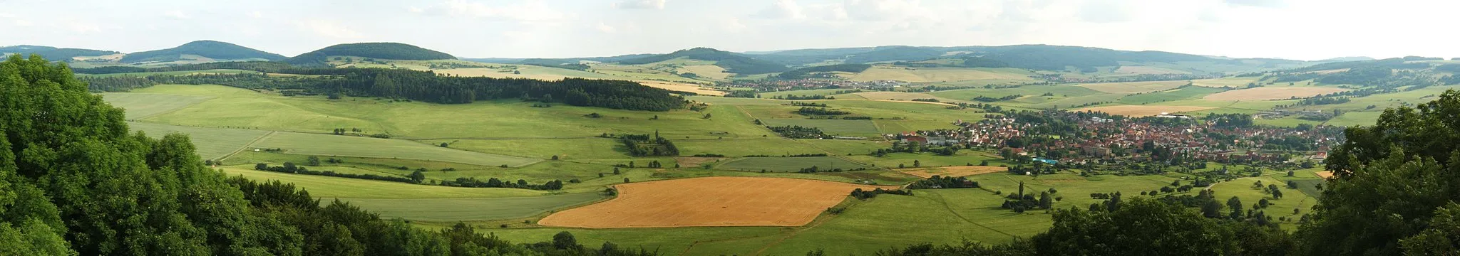
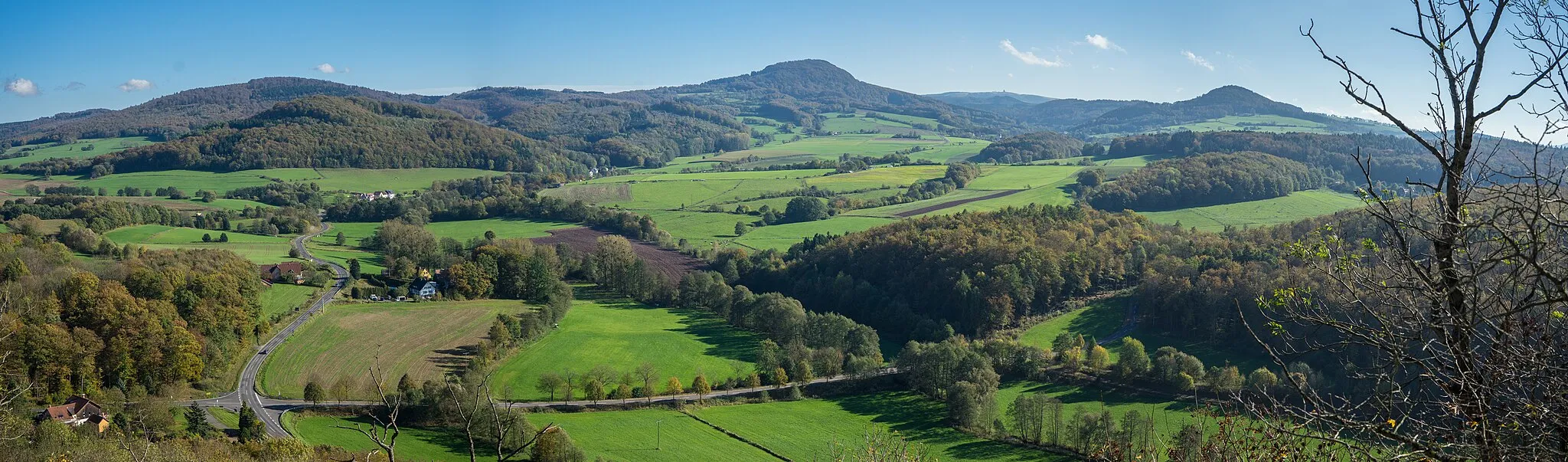
Gehilfersberg456 mPeakGehilfersberg offers panoramic views of the surrounding countryside. The hill is a popular spot for hiking and biking enthusiasts looking to enjoy nature's beauty.
25 km
25 km
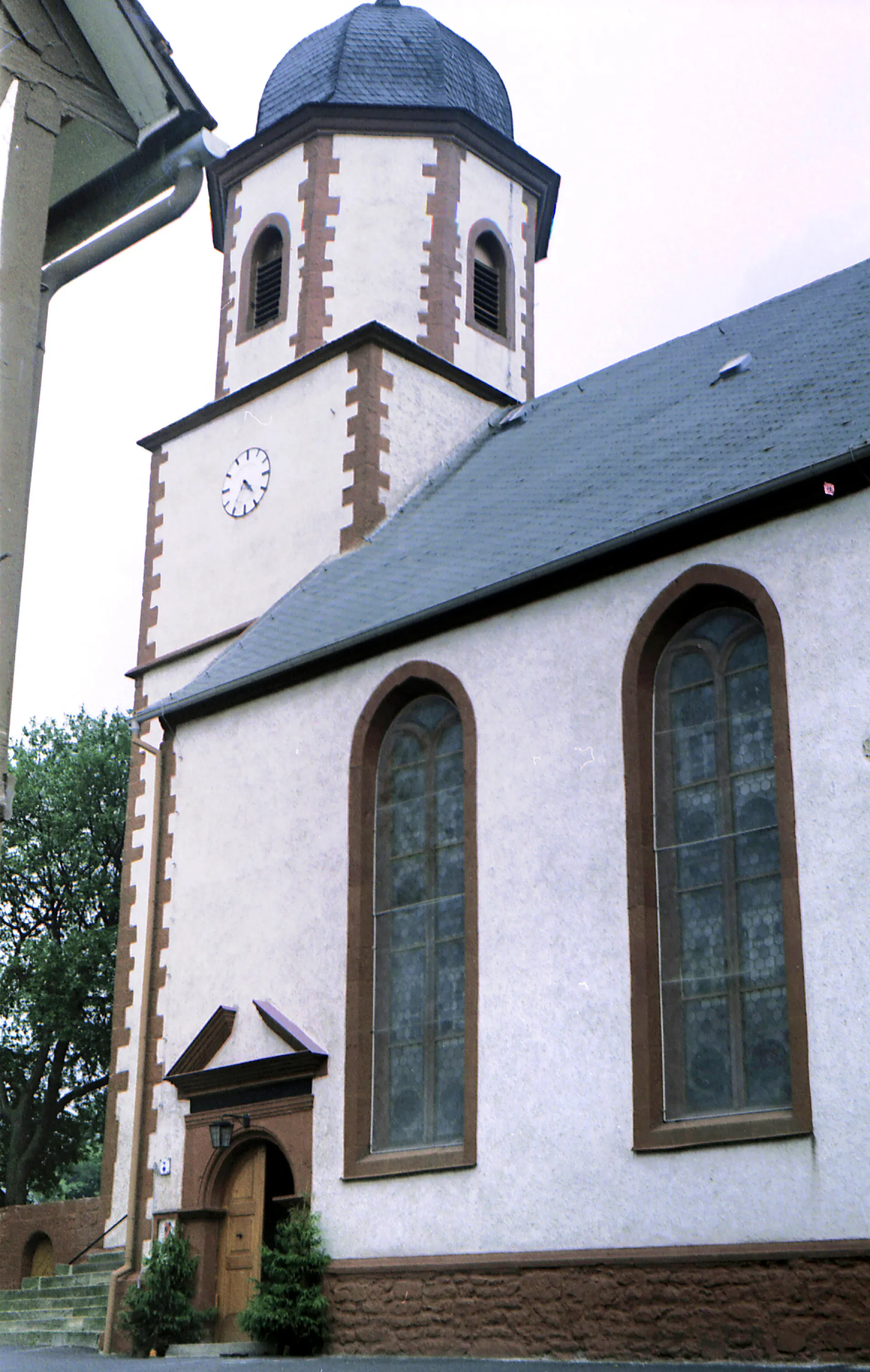
TreischfeldVillageTreischfeld is a small village known for its traditional architecture and friendly locals. Stop by the village and explore its quaint streets and interesting landmarks.
34 km
34 km
Schwärzelsberg464 mPeakSchwärzelsberg is a natural monument with unique rock formations. Take a moment to appreciate the geological wonders of this area.
60 km
60 km
Vitzeröder KreuzViewpointVitzeröder Kreuz is a historical crossroads located at the confluence of several important trade routes. Discover the significance of this crossroads and its role in the region's history.
66 km
66 km
BadelachenHamletBadelachen is a picturesque lake surrounded by lush greenery. Take a refreshing swim or relax by the shore and enjoy the tranquility.
82 km
82 km
LendersHamletLenders is a charming village with well-preserved half-timbered houses and a delightful atmosphere. Explore the village and discover its hidden gems.
90 km
90 km
Katzenstein612 mPeakKatzenstein is a magnificent castle perched atop a hill. Visit the castle and learn about its rich history and architectural marvels.
96 km
96 km
Finish: Tann Village centerTann: A leisurely cycling experience in the tranquil countryside of Tann.
Cycling routes nearby: