The Gravel Challenge
A gravel cycling route starting from Baumholder
Challenge yourself on this demanding gravel route with stunning views and thrilling terrains.
Map
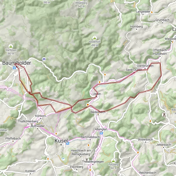
The Gravel Challenge is a demanding route designed for experienced gravel bike riders. With a distance of 50 km and an ascent of 1013 m, this route offers a challenging and rewarding adventure. Highlights include the scenic Bistersberg hill, the idyllic Erdesbach village, the Hubhöhe viewpoint with its panoramic vistas, and the legendary Steinerne Mann rock formation. Test your skills and endurance on the Gravel Challenge and be rewarded with stunning views and an adrenaline rush like no other.
gravel
50 km
1013 m
Savage
Route profile
Highlights on the route
0 km
0 km
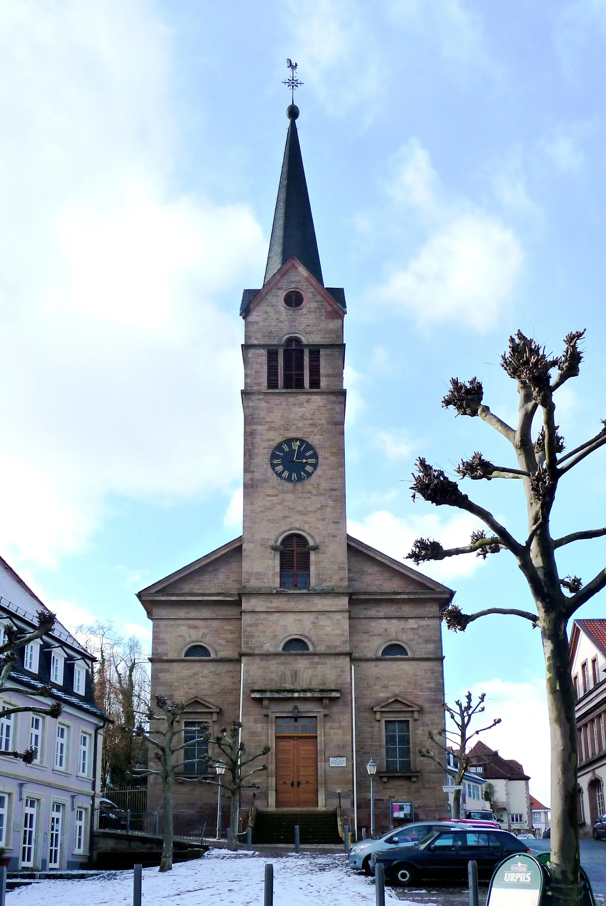
Start: Baumholder City centerBaumholder: Scenic Cycling Routes in the Koblenz Region, Germany
Baumholder, located in Koblenz, Germany, is a small town surrounded by beautiful nature and diverse cycling routes. The locality offers a mix of hilly terrain and flat stretches, making it suitable for both recreational and advanced cyclists. A notable cycling spot in the area is the Upper Moselle cycle path, which runs through Baumholder and offers scenic views of the Moselle River. Additionally, the town is close to the Hunsrück-Hochwald National Park, known for its challenging mountain bike trails. With its natural beauty and varied terrain, Baumholder is a great destination for cyclists looking for a mix of road and off-road cycling.11 km
11 km
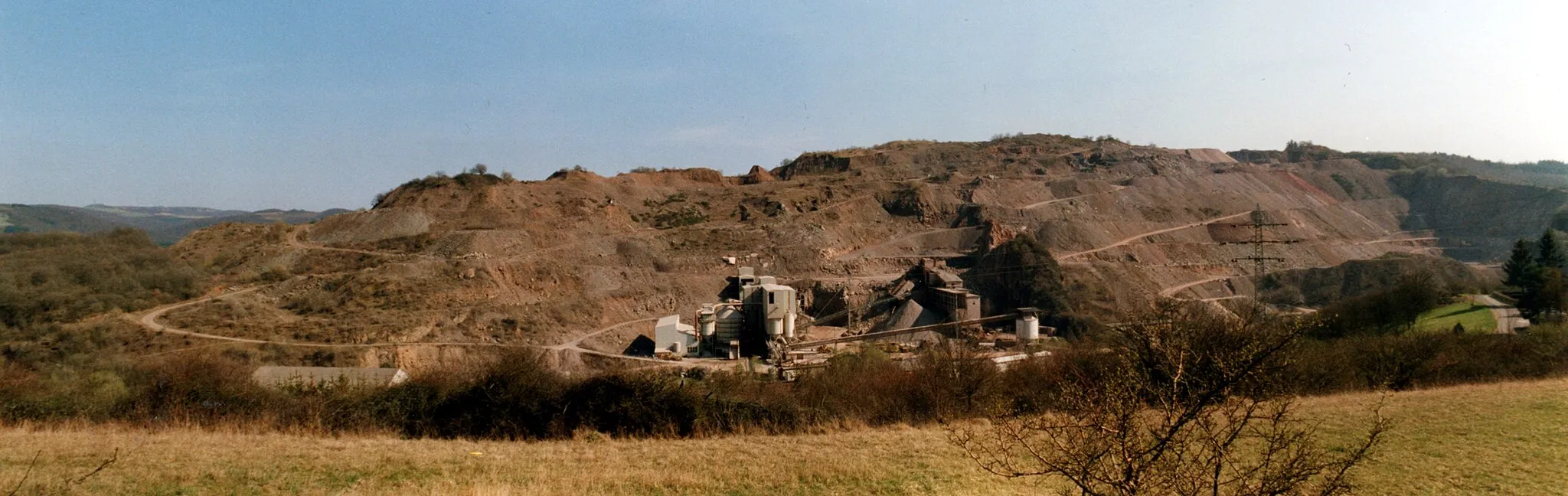
Bistersberg381 mPeakConquer the challenging slopes of the Bistersberg and experience the thrill of gravel cycling.
13 km
13 km
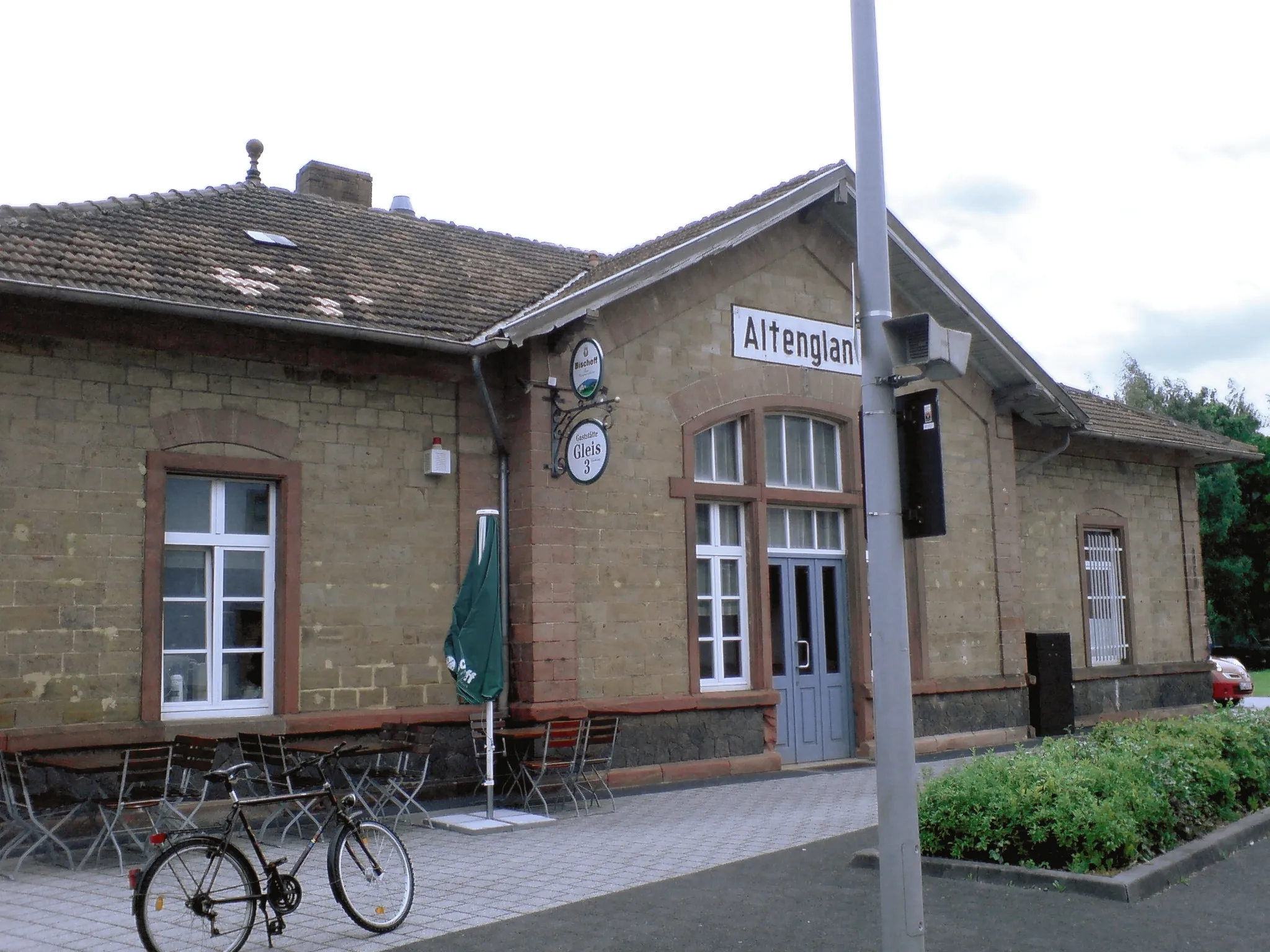
ErdesbachVillageTake a break in Erdesbach and enjoy the peaceful atmosphere of this picturesque village.
31 km
31 km
Hubhöhe355 mPeakClimb the Hubhöhe and be rewarded with breathtaking panoramic views of the surrounding landscapes.
37 km
37 km
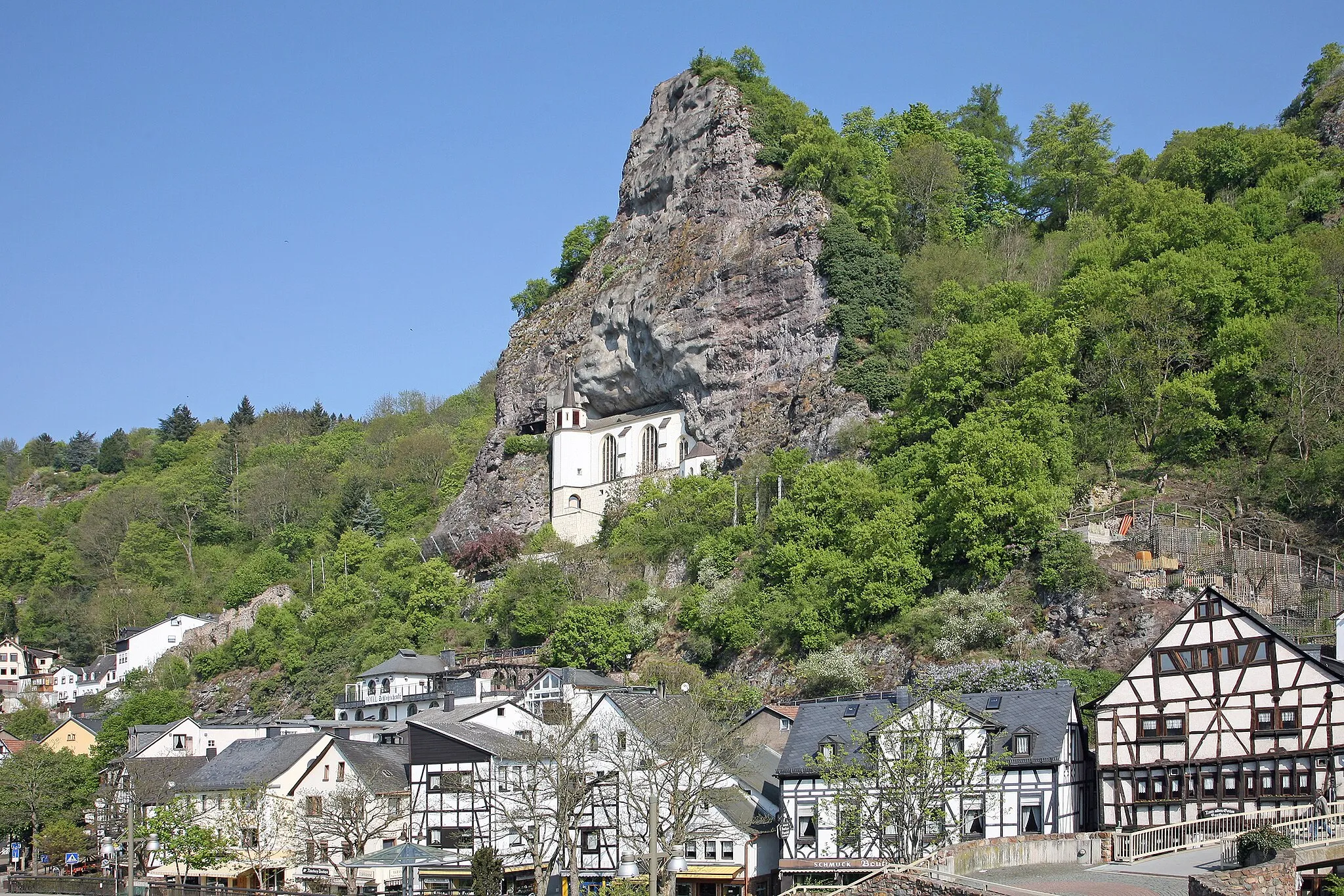
Steinerne Mann460 mPeakChallenge yourself to conquer the Steinerne Mann and revel in the adrenaline of off-roading on this unique landscape.
50 km
50 km
Finish: Baumholder City centerBaumholder: Scenic Cycling Routes in the Koblenz Region, Germany
Cycling routes nearby: