The Mittelberg Gravel Challenge
A road cycling route starting from Baumholder
Venture through scenic gravel roads and conquer 1892 meters of ascent on this epic 129-km route.
Map
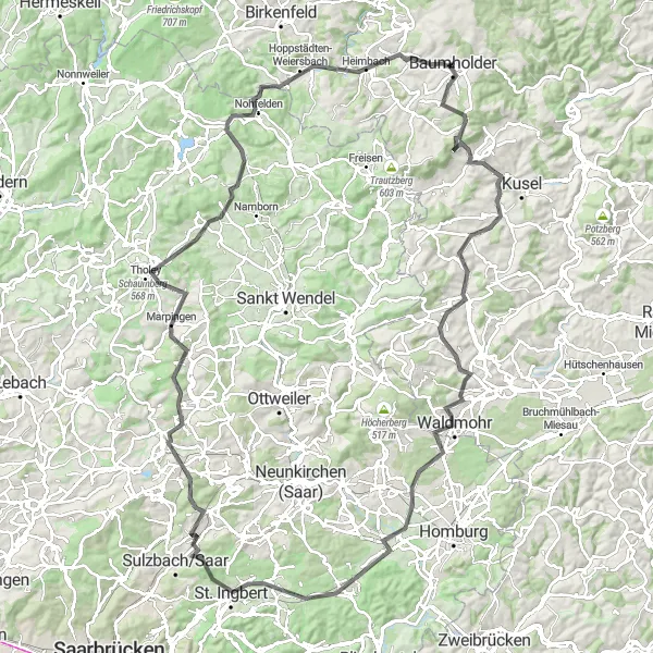
This challenging gravel route takes you through picturesque villages and offers breathtaking views of the surrounding landscape. With a total ascent of 1892 meters, this route is perfect for experienced cyclists looking for a tough adventure. Highlights along the route include the historic town of Thallichtenberg and the charming village of Herschweiler-Pettersheim. The route also passes by the Schaumberg, a popular mountain in the region known for its stunning panoramic views. Difficulty:4 Epicness:4
road
129 km
1892 m
Tough
Route profile
Highlights on the route
0 km
0 km
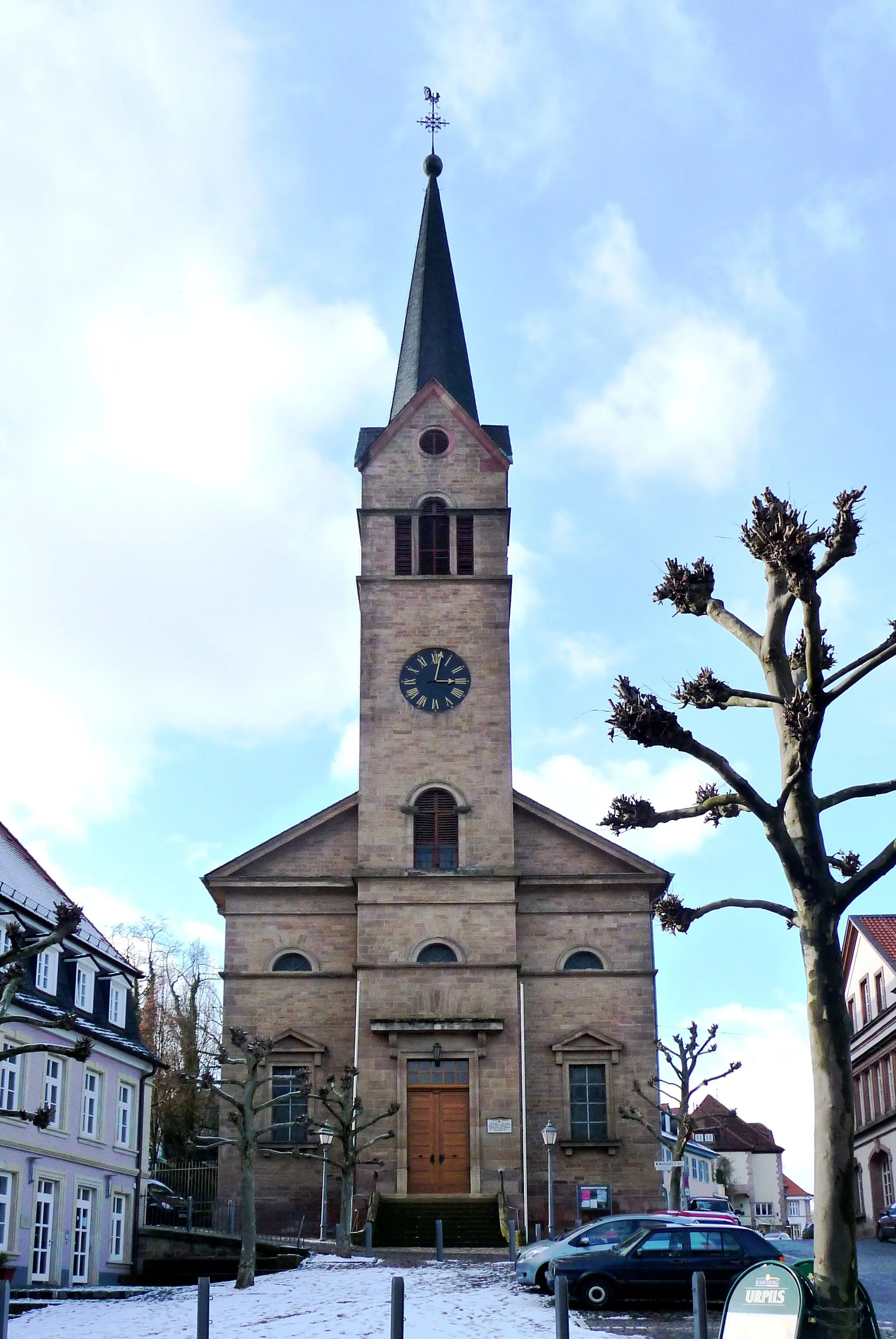
Start: Baumholder City centerBaumholder: Scenic Cycling Routes in the Koblenz Region, Germany
Baumholder, located in Koblenz, Germany, is a small town surrounded by beautiful nature and diverse cycling routes. The locality offers a mix of hilly terrain and flat stretches, making it suitable for both recreational and advanced cyclists. A notable cycling spot in the area is the Upper Moselle cycle path, which runs through Baumholder and offers scenic views of the Moselle River. Additionally, the town is close to the Hunsrück-Hochwald National Park, known for its challenging mountain bike trails. With its natural beauty and varied terrain, Baumholder is a great destination for cyclists looking for a mix of road and off-road cycling.8 km
8 km
Mittelberg550 mPeakMittelberg, a small village known for its traditional architecture and beautiful natural surroundings.
10 km
10 km
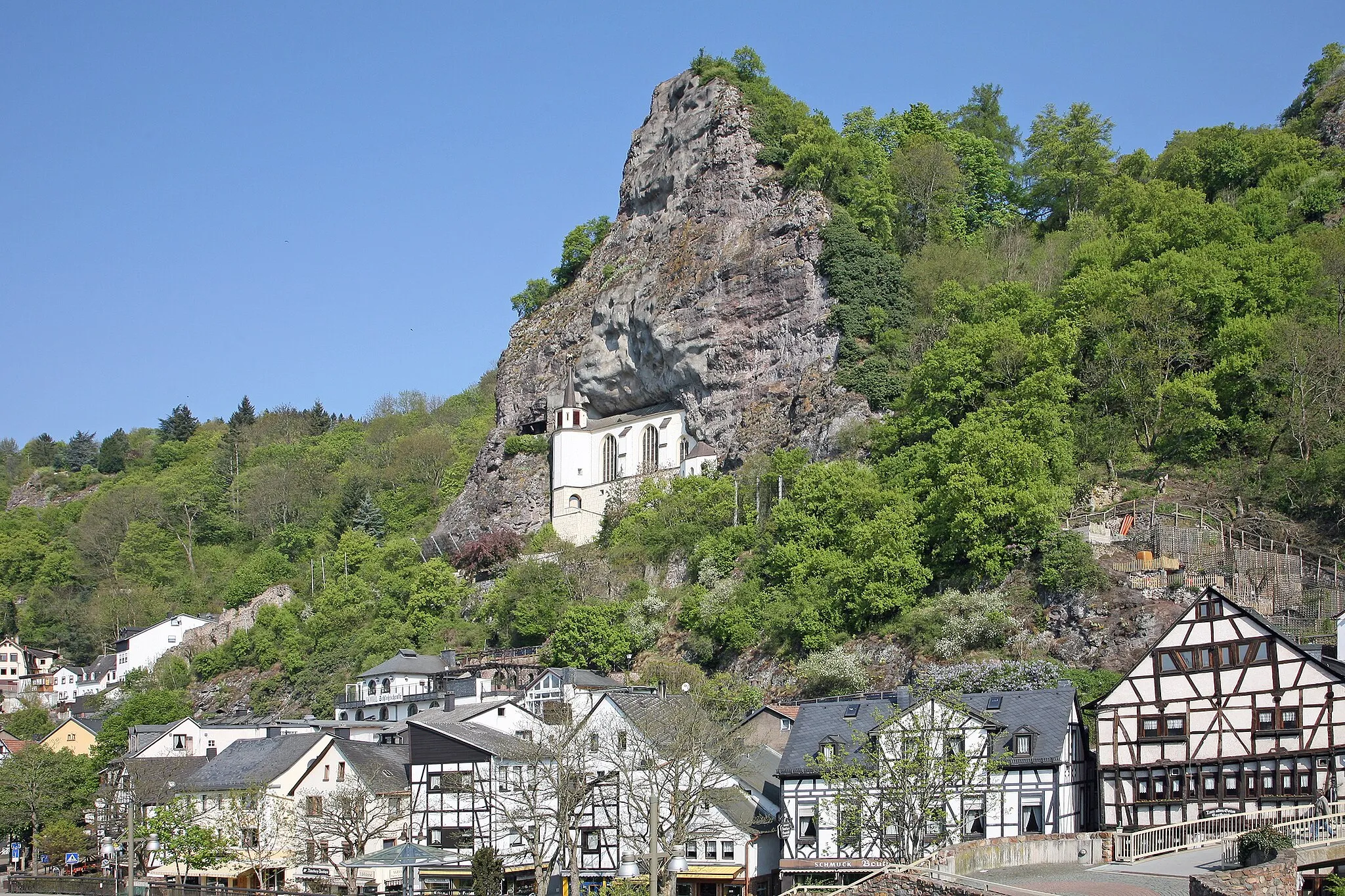
ThallichtenbergVillageThallichtenberg, a historic town with a castle that offers sweeping views of the surrounding countryside.
23 km
23 km
Herschweiler-PettersheimVillageHerschweiler-Pettersheim, a charming village with half-timbered houses and a peaceful ambiance.
29 km
29 km
Wartenstein375 mPeakWartenstein, a picturesque village nestled in the hills with stunning views of the valley below.
37 km
37 km
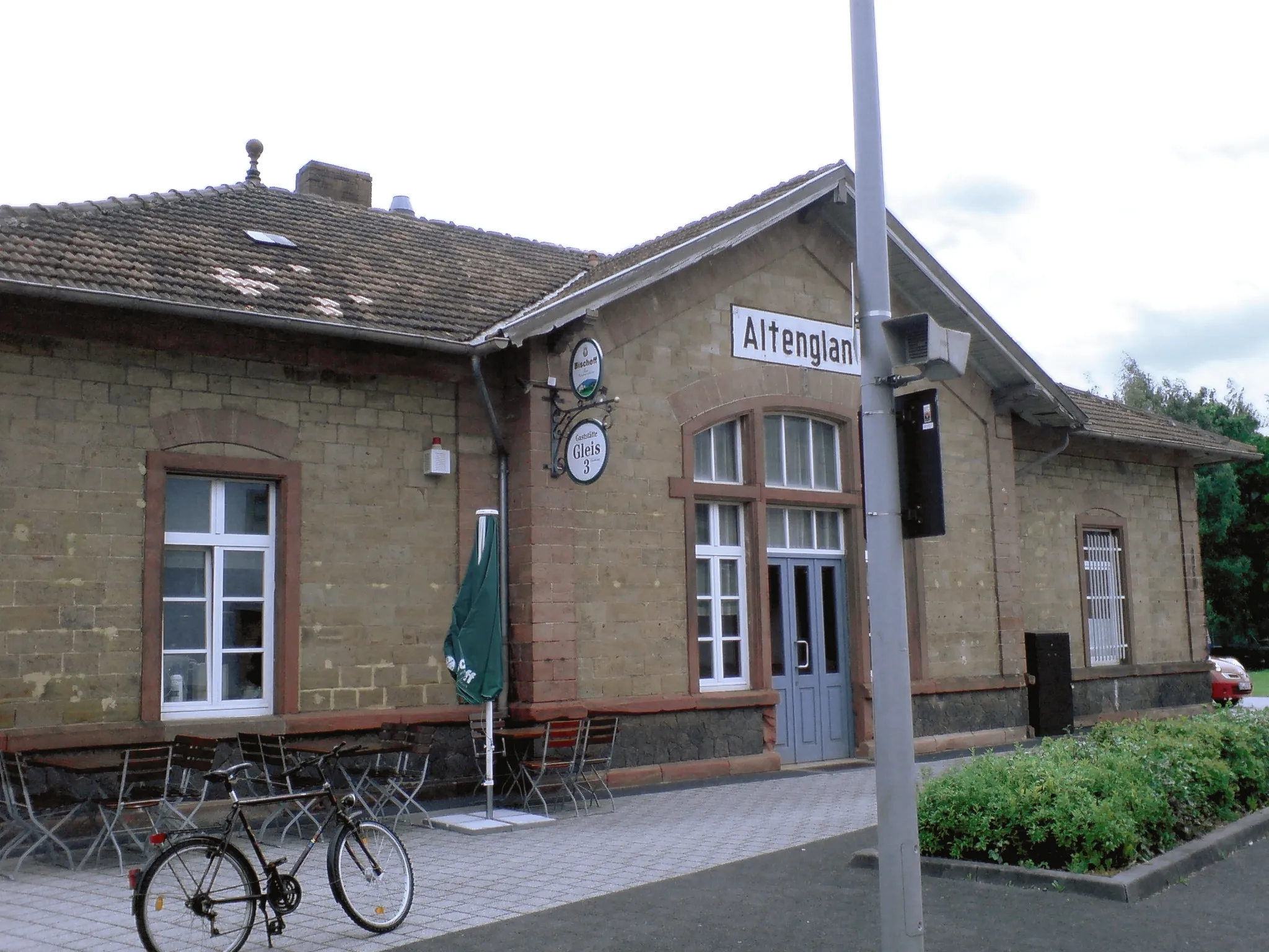
WaldmohrTownWaldmohr, a small town with a rich history and several historical buildings worth exploring.
52 km
52 km
Hirschberg380 mPeakHirschberg, a quaint village known for its beautiful hiking trails and panoramic viewpoints.
73 km
73 km
Kallenberg387 mPeakKallenberg, a peaceful village surrounded by lush green fields and rolling hills.
76 km
76 km
MerchweilerVillageMerchweiler, a charming village with a vibrant local culture and several quaint cafes and restaurants.
88 km
88 km
MarpingenVillageMarpingen, a historic town with well-preserved architecture and a rich folklore tradition.
94 km
94 km
Schaumberg568 mPeakSchaumberg, a popular mountain in the region known for its stunning panoramic views.
112 km
112 km
Stickelberg427 mPeakStickelberg, a small village with beautiful traditional houses and lush gardens.
116 km
116 km
Hoppstädten-WeiersbachVillageHoppstädten-Weiersbach, a picturesque village surrounded by forests and rolling hills.
126 km
126 km
RuschbergVillageRuschberg, a charming village with several hiking trails and opportunities for outdoor activities.
129 km
129 km
Finish: Baumholder City centerBaumholder: Scenic Cycling Routes in the Koblenz Region, Germany
Cycling routes nearby: