The Gravel Adventure
A gravel cycling route starting from Baumholder
Embark on an exciting off-road cycling adventure through scenic landscapes.
Map
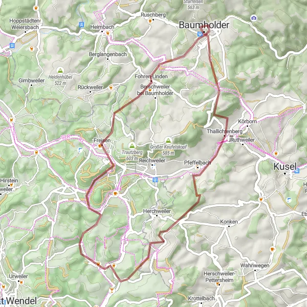
The Gravel Adventure is a thrilling off-roading route that covers a distance of 45 km with an ascent of 841 m. This route is perfect for gravel bike enthusiasts who love challenging terrains and breathtaking scenery. Highlights include the Mittelberg mountain, the Thallichtenberg castle ruins, and the picturesque Rosenberg peak. Get ready for an adrenaline-pumping experience and explore the hidden gems of the region on the Gravel Adventure.
gravel
45 km
841 m
Tough
Route profile
Highlights on the route
0 km
0 km
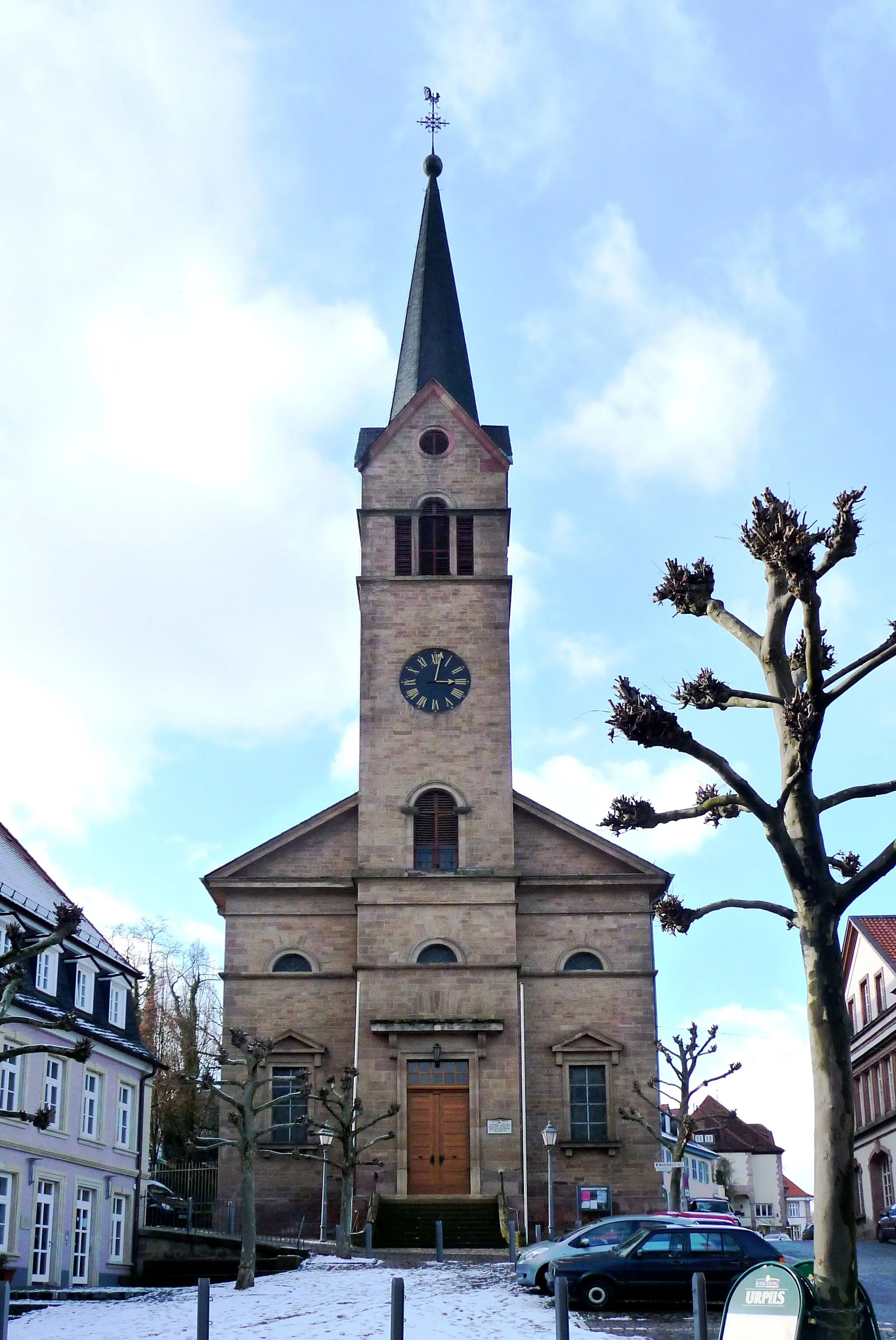
Start: Baumholder City centerBaumholder: Scenic Cycling Routes in the Koblenz Region, Germany
Baumholder, located in Koblenz, Germany, is a small town surrounded by beautiful nature and diverse cycling routes. The locality offers a mix of hilly terrain and flat stretches, making it suitable for both recreational and advanced cyclists. A notable cycling spot in the area is the Upper Moselle cycle path, which runs through Baumholder and offers scenic views of the Moselle River. Additionally, the town is close to the Hunsrück-Hochwald National Park, known for its challenging mountain bike trails. With its natural beauty and varied terrain, Baumholder is a great destination for cyclists looking for a mix of road and off-road cycling.6 km
6 km
Mittelberg550 mPeakClimb the Mittelberg and enjoy panoramic views of the surrounding landscape.
8 km
8 km
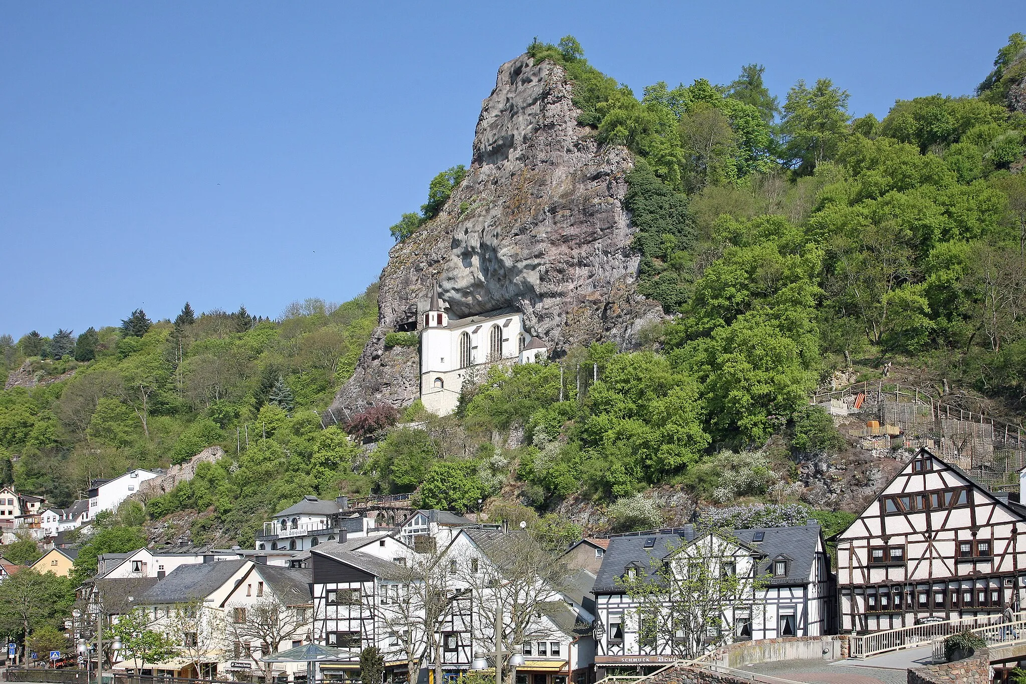
ThallichtenbergVillageExplore the mystical ruins of the Thallichtenberg castle.
25 km
25 km
Rosenberg401 mPeakMarvel at the scenic beauty of the Rosenberg peak and its charming surroundings.
31 km
31 km
Füsselberg595 mPeakExperience the thrill of conquering the Füsselberg and enjoy stunning views from the top.
45 km
45 km
Finish: Baumholder City centerBaumholder: Scenic Cycling Routes in the Koblenz Region, Germany
Cycling routes nearby: