Baumholder Exploration
A road cycling route starting from Baumholder
An adventurous route exploring the countryside near Baumholder
Map
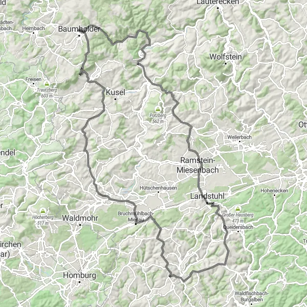
This round-trip cycling route near Baumholder takes you on an exciting adventure through the scenic countryside. With a total distance of 117 kilometers and an elevation gain of 1413 meters, this route is best suited for very well-trained amateurs. Along the way, you'll encounter picturesque towns, peaceful nature spots, and historic landmarks.
road
117 km
1413 m
Tough
Route profile
Highlights on the route
0 km
0 km
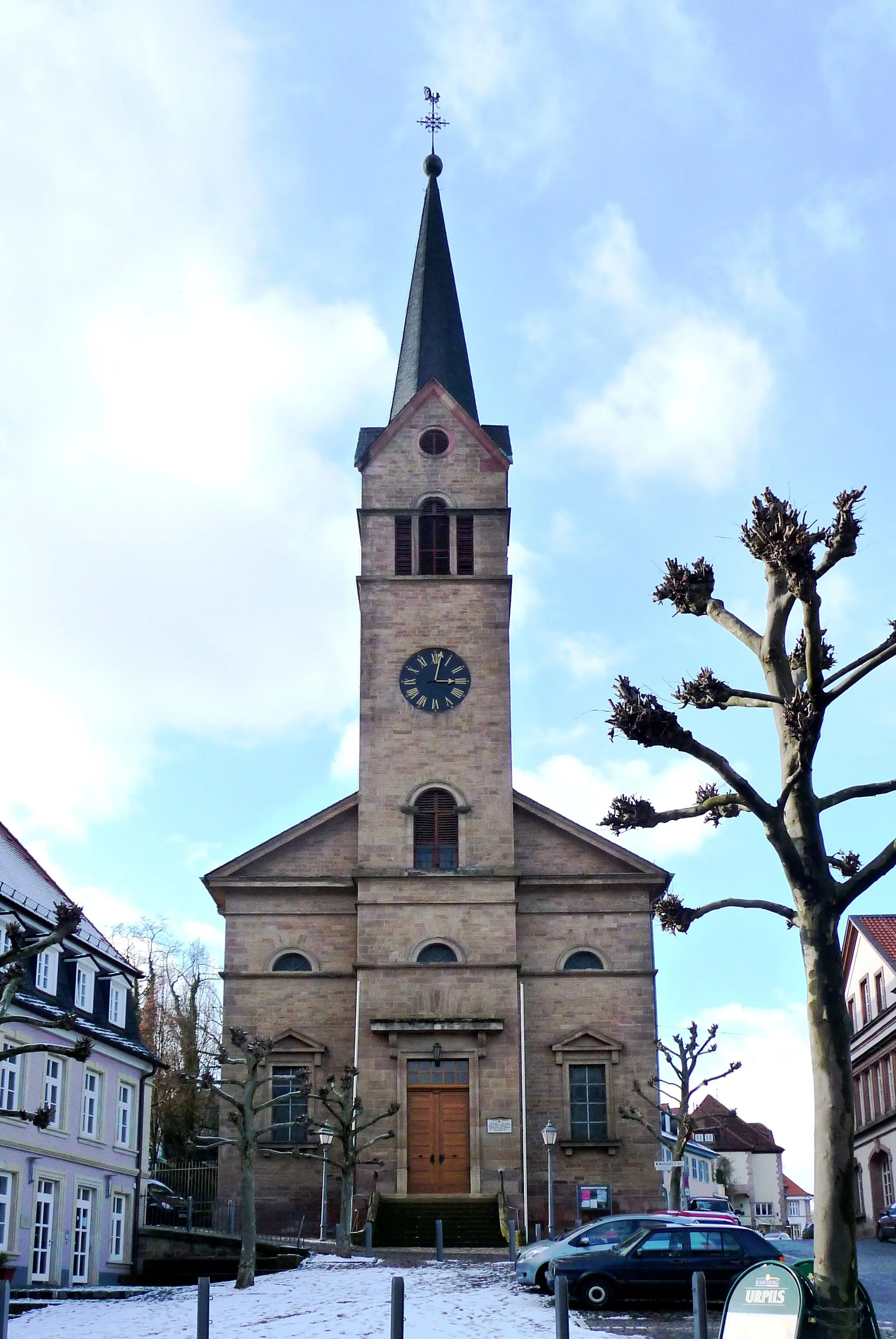
Start: Baumholder City centerBaumholder: Scenic Cycling Routes in the Koblenz Region, Germany
Baumholder, located in Koblenz, Germany, is a small town surrounded by beautiful nature and diverse cycling routes. The locality offers a mix of hilly terrain and flat stretches, making it suitable for both recreational and advanced cyclists. A notable cycling spot in the area is the Upper Moselle cycle path, which runs through Baumholder and offers scenic views of the Moselle River. Additionally, the town is close to the Hunsrück-Hochwald National Park, known for its challenging mountain bike trails. With its natural beauty and varied terrain, Baumholder is a great destination for cyclists looking for a mix of road and off-road cycling.10 km
10 km
Windfang413 mPeakWindfang is a charming village located at the 10-kilometer mark of the route. Stop by to enjoy the quaint German architecture and its peaceful surroundings.
13 km
13 km
NiederalbenVillageNiederalben, situated 13 kilometers into the route, offers a serene nature area where you can take a break to appreciate the beautiful landscape.
21 km
21 km
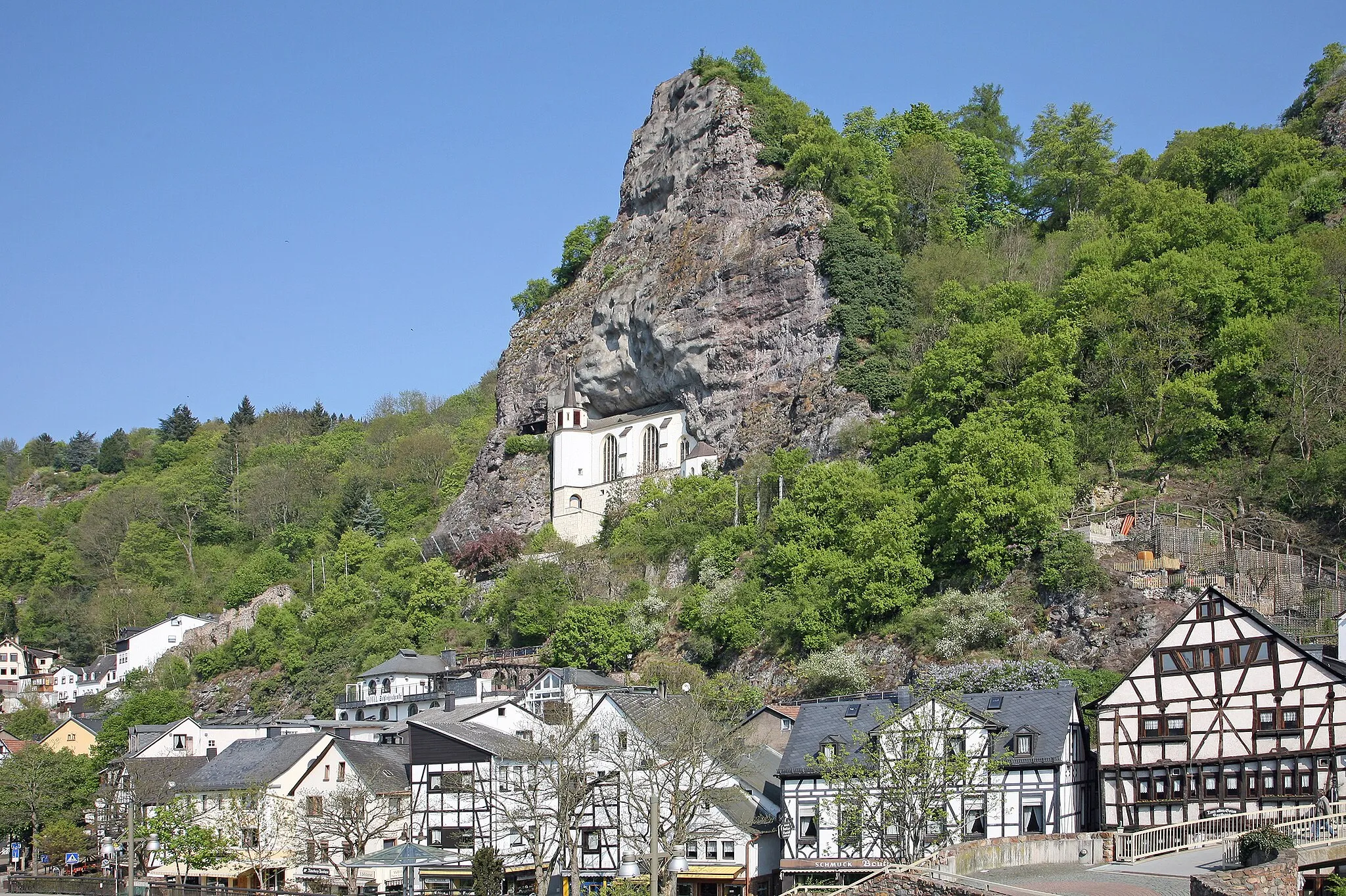
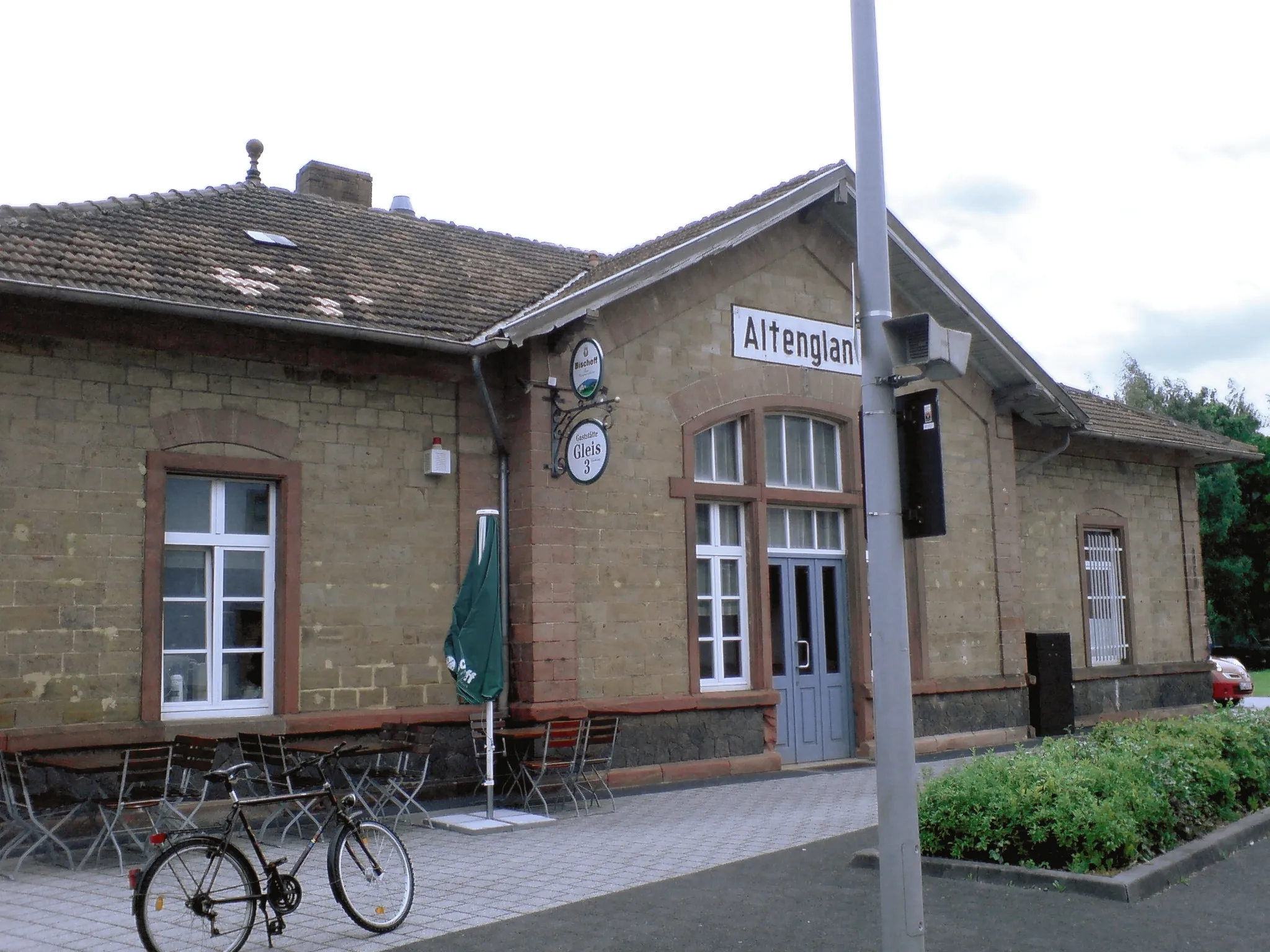
AltenglanVillageAltenglan is a historical town that you'll encounter at the 21-kilometer mark. Explore its ancient buildings and learn about its rich heritage.
34 km
34 km
Wachthübel371 mPeakWachthübel, located 34 kilometers into the route, is known for its breathtaking panoramic views. Take a moment to soak in the majestic scenery.
44 km
44 km
LandstuhlTownLandstuhl, a lively town known for its vibrant atmosphere and delicious local cuisine, is worth a visit at the 44-kilometer mark.
50 km
50 km
Röderberg434 mPeakAt the 50-kilometer mark, you'll find Röderberg, a peaceful hill that offers a perfect spot for a picnic or a peaceful break.
58 km
58 km
Büchelberg375 mPeakBüchelberg, located at the 58-kilometer mark, is home to stunning vineyards and wineries. Enjoy a glass of local wine in this idyllic setting.
72 km
72 km
MartinshöheVillageMartinshöhe, an enchanting village boasting traditional German architecture, awaits you at the 72-kilometer mark.
88 km
88 km
Brücken (Pfalz)VillageAs you reach the 88-kilometer mark, you'll come across Brücken (Pfalz), a small town known for its charming streets and friendly locals.
91 km
91 km
Knechtenberg387 mPeakThe Knechtenberg at the 91-kilometer point doesn't offer many attractions but provides a quiet nature area combined with a challenging climb.
107 km
107 km
ThallichtenbergVillageThallichtenberg, situated at the 107-kilometer mark, features a picturesque castle that offers a glimpse into the region's medieval history.
109 km
109 km
Mittelberg550 mPeakAt the 109-kilometer mark, Mittelberg showcases the rural beauty of the region with its lush green fields and peaceful atmosphere.
117 km
117 km
Finish: Baumholder City centerBaumholder: Scenic Cycling Routes in the Koblenz Region, Germany
Cycling routes nearby: