Bendorf Gravel Route
A gravel cycling route starting from Bendorf
Explore the scenic gravel roads around Bendorf
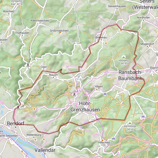
Map
This gravel route near Bendorf takes you through picturesque landscapes with a total ascent of 987 meters over a distance of 48 kilometers. It offers a moderate challenge for intermediate cyclists and provides a unique and diverse experience.
gravel
48 km
987 m
Tough
Route profile
Highlights on the route
0 km
0 km
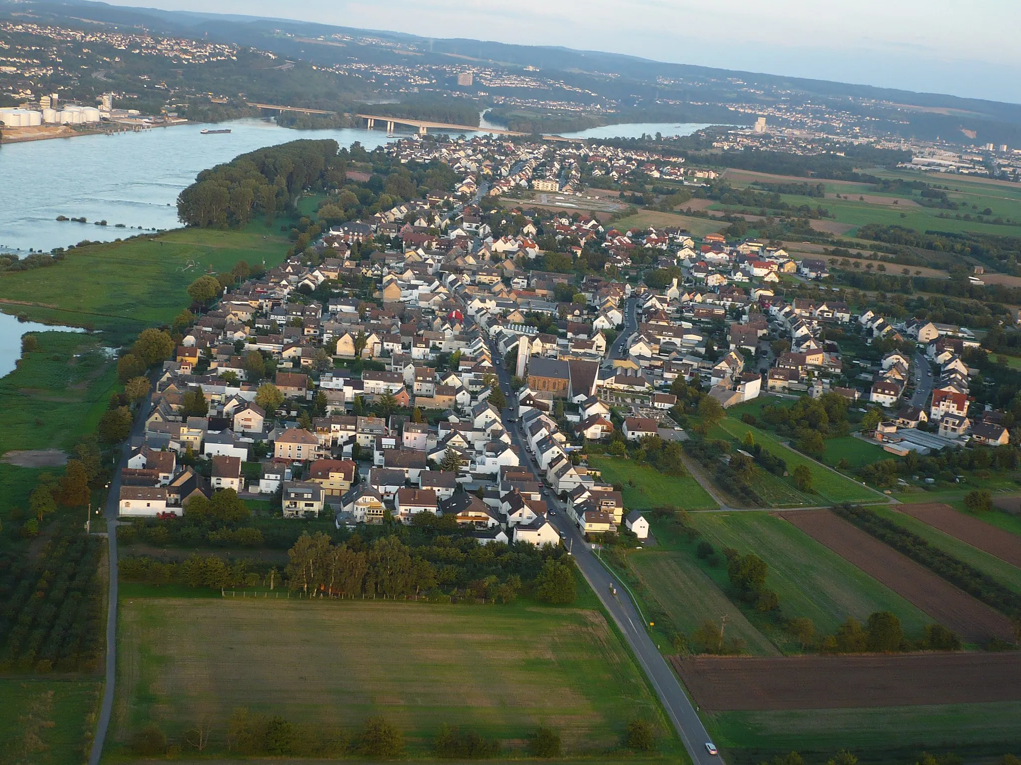
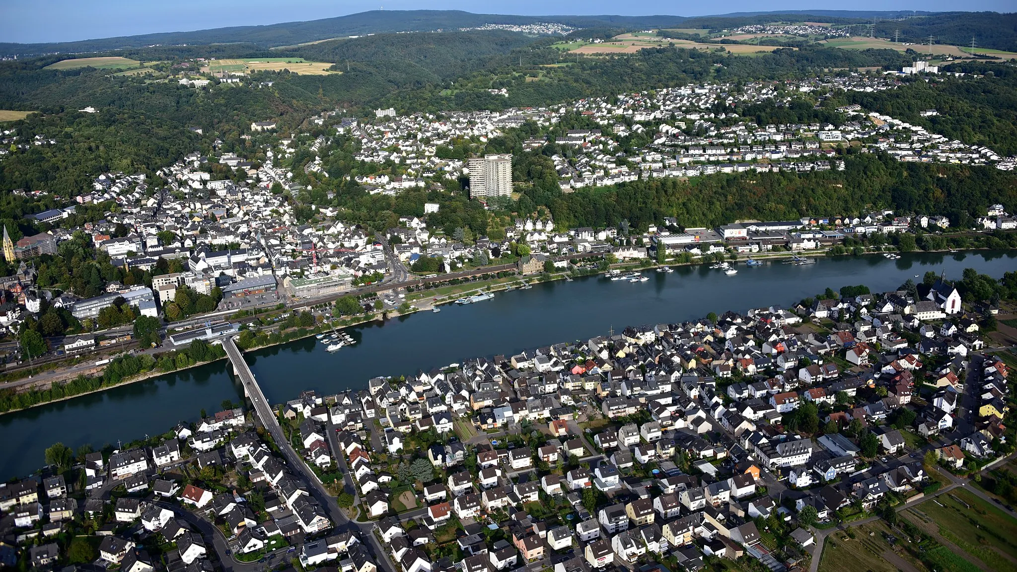
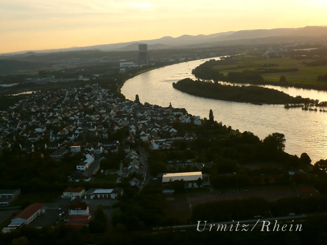
Start: Bendorf City centerBendorf: Cycling along the enchanting Rhine River.
Bendorf is a town located in Koblenz, Germany. For road and gravel cyclists, Bendorf offers diverse terrain and scenic routes along the picturesque Rhine River. The Moselradweg, a well-known cycling path in the region, is a great option for those seeking a leisurely ride. Additionally, nearby hills like the Westerwald provide opportunities for more challenging climbs. With its combination of river views and rolling hills, Bendorf is a cycling-friendly locality suitable for riders of all levels.0 km
0 km
BendorfTownBendorf: Start your journey in the charming town of Bendorf, known for its historical architecture and rich cultural heritage.
10 km
10 km
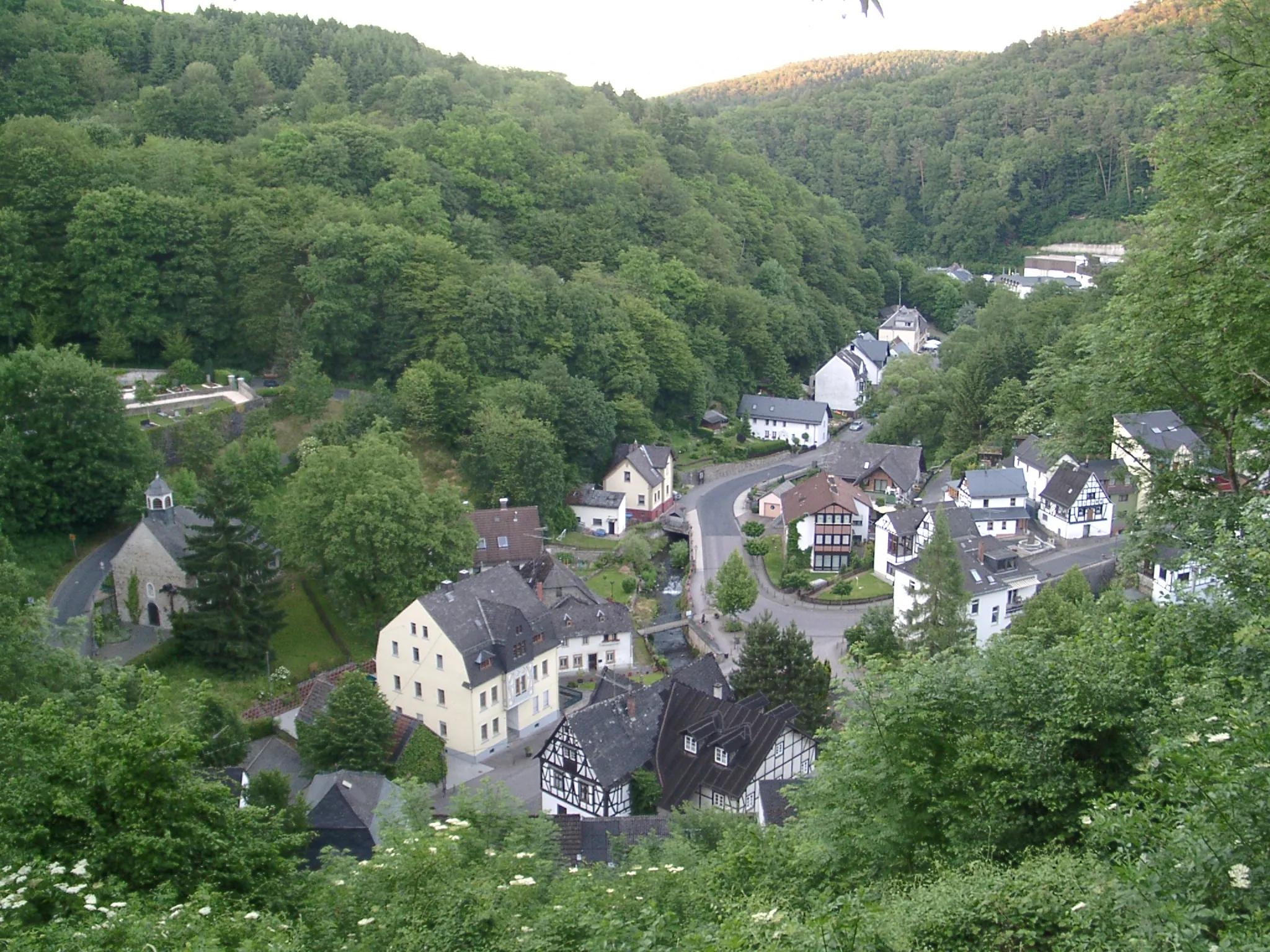
Schopp254 mPeakSchopp: Pass by Schopp, a small village surrounded by green meadows and forests, offering a peaceful atmosphere.
15 km
15 km
Rödersberg281 mPeakRödersberg: Enjoy the scenic views from Rödersberg, a hill known for its panoramic vistas over the Rhine Valley and surrounding countryside.
17 km
17 km
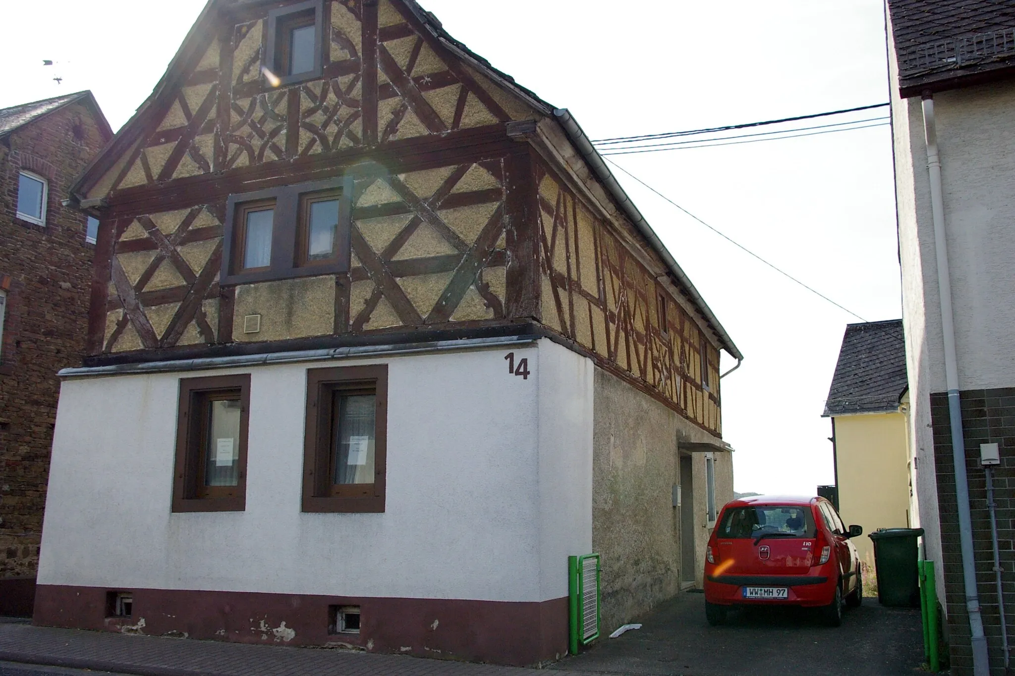
BreitenauVillageBreitenau: Ride through the charming village of Breitenau, famous for its traditional half-timbered houses and idyllic rural landscape.
28 km
28 km
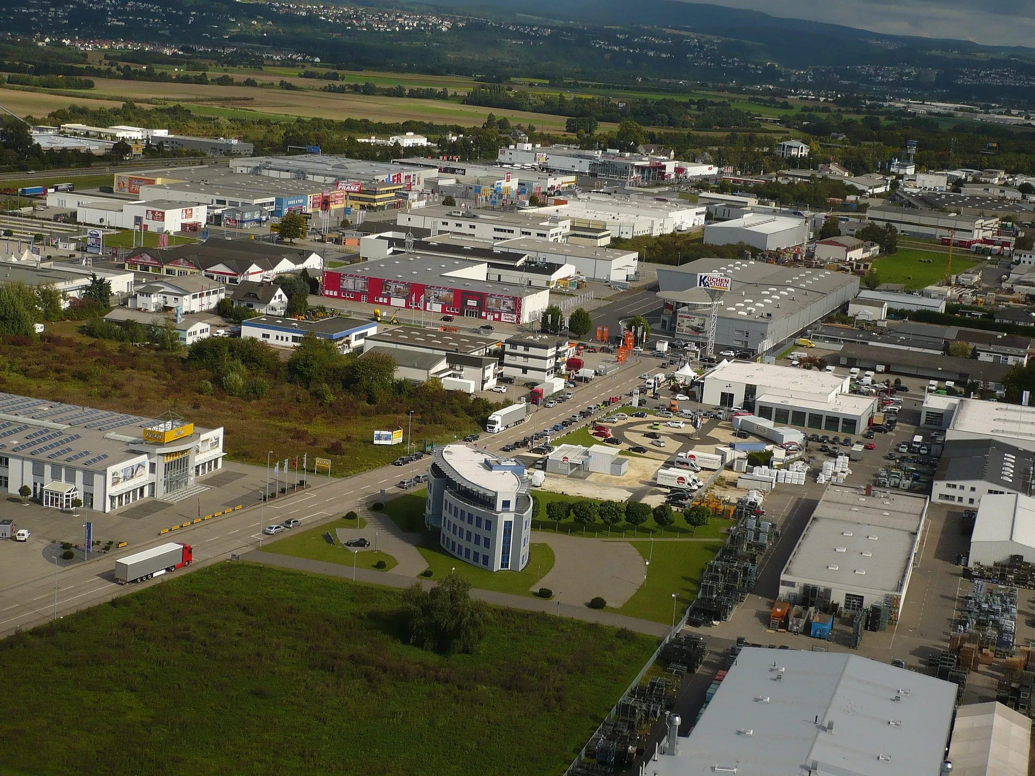
Ransbach-BaumbachTownRansbach-Baumbach: Explore the pottery town of Ransbach-Baumbach, known for its ceramic workshops and historical buildings.
34 km
34 km
Alarmstange545 mPeakAlarmstange: Stop by the historic landmark of Alarmstange, a former watchtower used to protect the city against invaders.
41 km
41 km
Reitert271 mPeakReitert: Discover the picturesque village of Reitert, surrounded by rolling hills and lush vineyards.
44 km
44 km
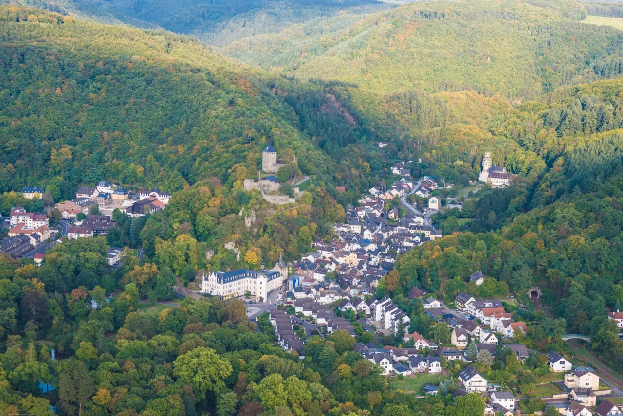
WeitersburgVillageWeitersburg: Visit the charming village of Weitersburg, known for its medieval fortress and beautiful gardens.
48 km
48 km
Finish: Bendorf City centerBendorf: Cycling along the enchanting Rhine River.
Cycling routes from Bendorf:
Bendorf Gravel Route Koblenz Road Route Epic Rhine Valley Circuit Bendorf Gravel Exploration Koblenz Epic Road Challenge The Rhine Valley Loop Climbing the Mosel River Hills Gravel Adventure Through the Westerwald The Remote Rhine Valley Escape Bendorf Gravel Loop Bendorf Circular Road Cycling Route Gravel Adventure from Bendorf to Koblenz
Cycling routes nearby: