Koblenz Epic Road Challenge
A road cycling route starting from Bendorf
Conquer the Koblenz epic road challenge
Map
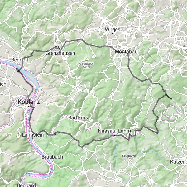
Prepare yourself for a challenging cycling experience on this road route near Koblenz. Covering a distance of 94 kilometers with a total ascent of 1568 meters, this route is reserved for experienced riders seeking an exhilarating and physically demanding adventure. Enjoy picturesque landscapes, historic sites, and the thrill of overcoming tough climbs.
road
94 km
1568 m
Savage
Route profile
Highlights on the route
0 km
0 km
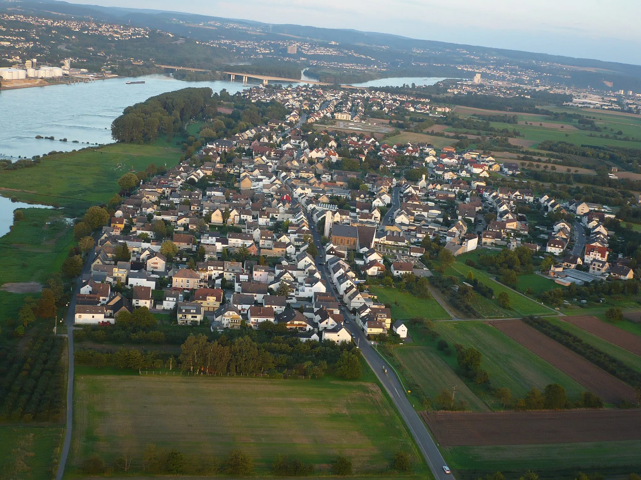
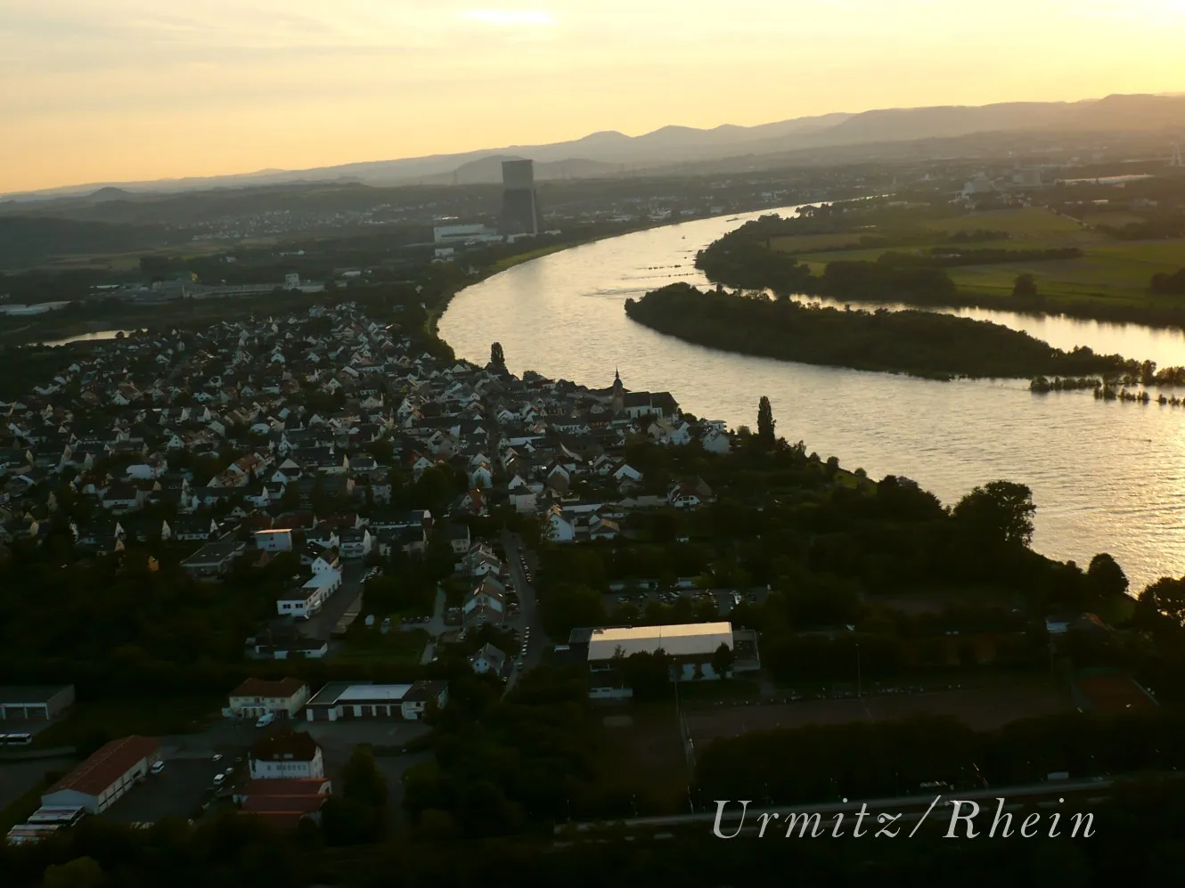
Start: Sankt Sebastian Village centerBendorf: Cycling along the enchanting Rhine River.
Bendorf is a town located in Koblenz, Germany. For road and gravel cyclists, Bendorf offers diverse terrain and scenic routes along the picturesque Rhine River. The Moselradweg, a well-known cycling path in the region, is a great option for those seeking a leisurely ride. Additionally, nearby hills like the Westerwald provide opportunities for more challenging climbs. With its combination of river views and rolling hills, Bendorf is a cycling-friendly locality suitable for riders of all levels.3 km
3 km
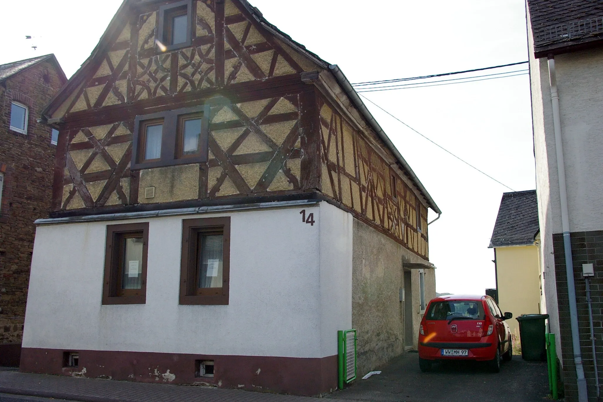
BendorfTownBendorf: Start your heavy-duty challenge in Bendorf, a town that stands at the confluence of the Rhine and the Rhine-Moselle rivers.
9 km
9 km
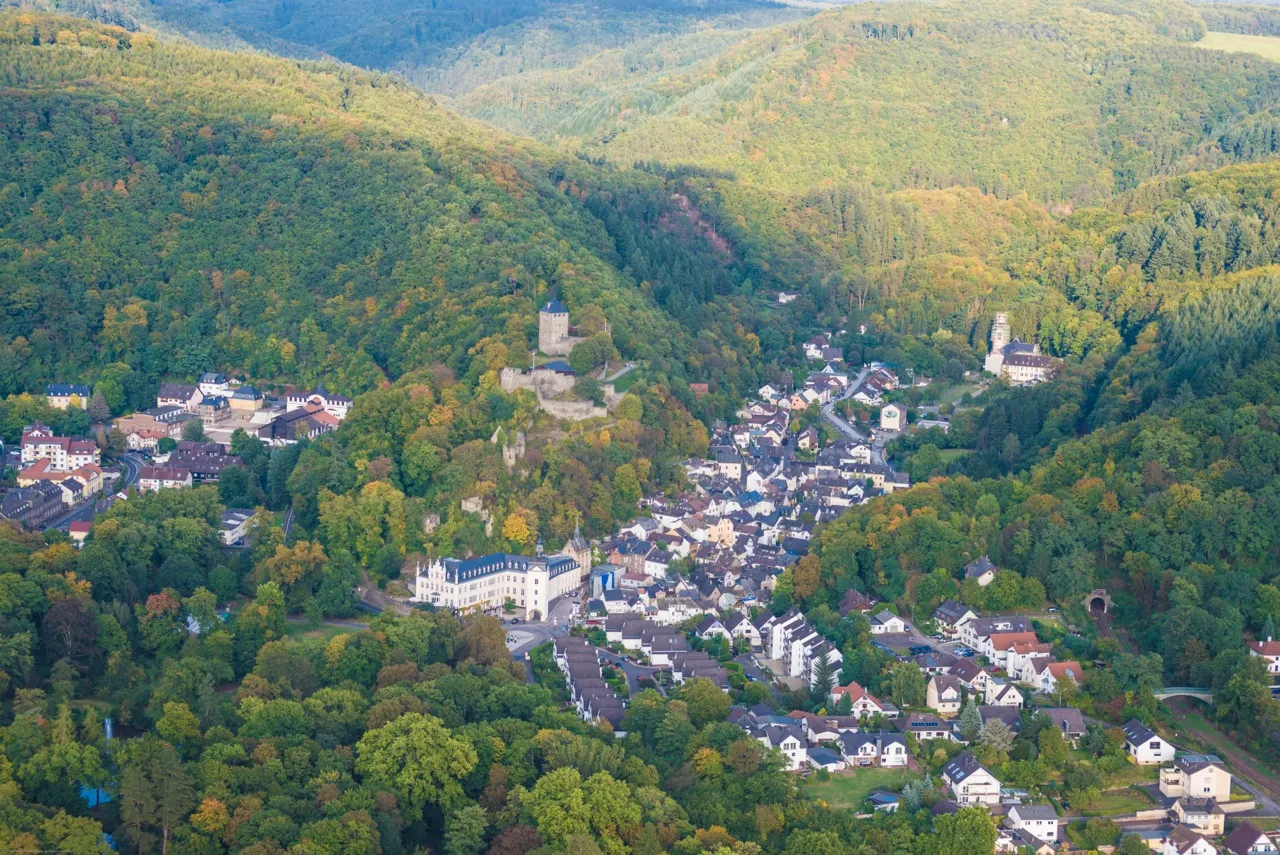
Eisenberg280 mPeakEisenberg: Test your limits as you ascend Eisenberg, a vigorous climb notorious for its steep gradients and rewarding views.
26 km
26 km
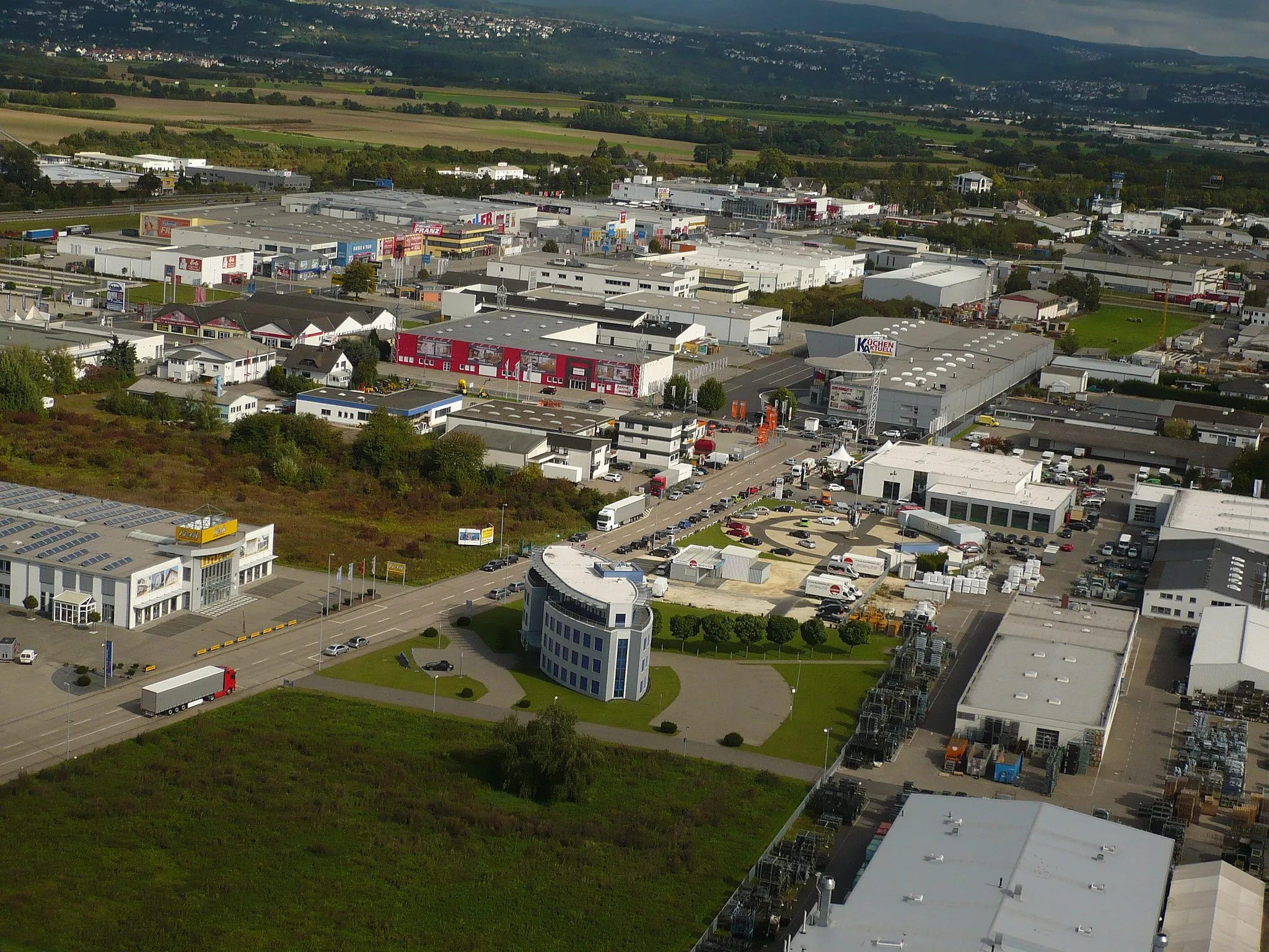
MontabaurTownMontabaur: Visit Montabaur, a historical town known for its medieval architecture, including the iconic Montabaur Castle.
32 km
32 km
Stein302 mPeakStein: Cycle through Stein, a tranquil village surrounded by stunning countryside, perfect for a peaceful stop to catch your breath.
44 km
44 km
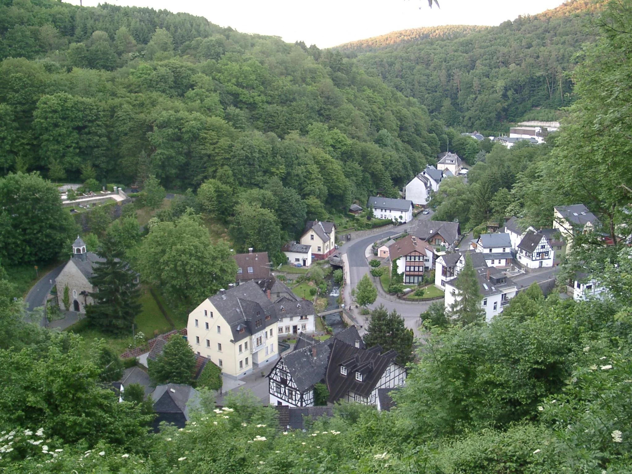
HolzappelVillageHolzappel: Ride through Holzappel, renowned for its medieval half-timbered buildings and the beautiful Schloss Schaumburg.
46 km
46 km
Langeberg245 mPeakLangeberg: Conquer the challenging slopes of Langeberg, a climb that rewards with breathtaking panoramas over the rolling hills.
58 km
58 km
Lai109 mPeakLai: Pass through Lai, a traditional village located in the heart of the lush Westerwald forest, offering serenity and natural beauty.
68 km
68 km
BechelnVillageBecheln: Discover Becheln, a picturesque village surrounded by green pastures, crops, and ancient woodlands.
86 km
86 km
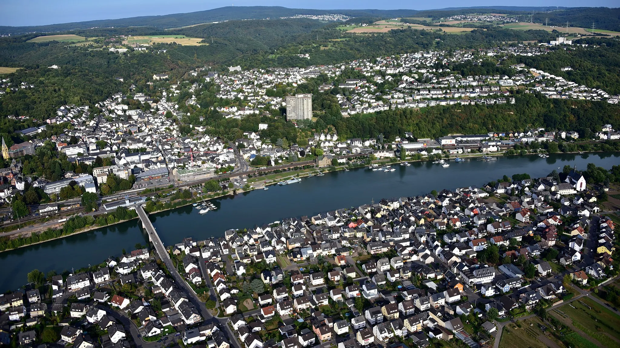
KoblenzCityKoblenz: Finish your epic challenge in Koblenz, where the Rhine and Moselle rivers meet, and explore the historic city center and wonderful waterfront at Deutsches Eck.
88 km
88 km
Deutsches EckViewpointDeutsches Eck: Celebrate your triumphant completion at Deutsches Eck, a prominent and iconic monument marking the unity of the Rhine and Moselle rivers.
94 km
94 km
Finish: Sankt Sebastian Village centerBendorf: Cycling along the enchanting Rhine River.
Cycling routes from Bendorf:
Bendorf Gravel Route Koblenz Road Route Epic Rhine Valley Circuit Bendorf Gravel Exploration Koblenz Epic Road Challenge The Rhine Valley Loop Climbing the Mosel River Hills Gravel Adventure Through the Westerwald The Remote Rhine Valley Escape Bendorf Gravel Loop Bendorf Circular Road Cycling Route Gravel Adventure from Bendorf to Koblenz
Cycling routes nearby: