Gravel Adventure from Bendorf to Koblenz
A gravel cycling route starting from Bendorf
Embark on an adventurous gravel cycling route from Bendorf to Koblenz and explore the unique landscapes along the way.
Map
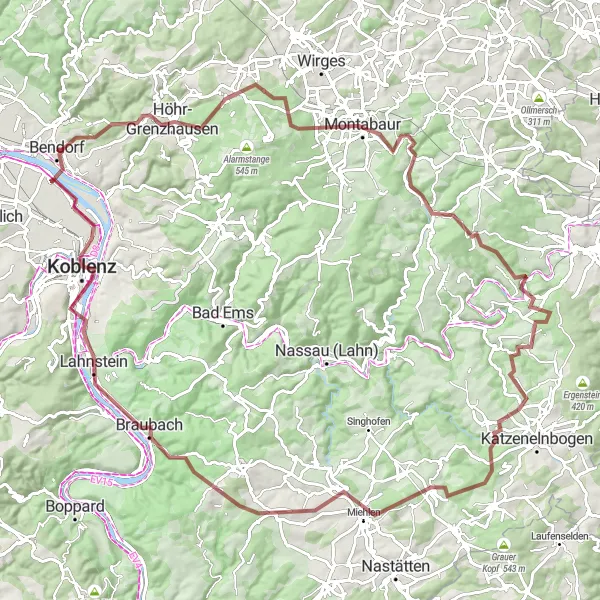
If you're a fan of gravel biking, this route from Bendorf to Koblenz is a must-try. With an ascent of 1879 meters and a distance of 112 kilometers, it promises a thrilling off-road experience. From challenging climbs to exciting descents, you'll encounter diverse terrain as you make your way through scenic villages and natural wonders. The highlights along the route offer the perfect spots to take a break and soak in the beauty of the surroundings.
gravel
112 km
1879 m
Savage
Route profile
Highlights on the route
0 km
0 km
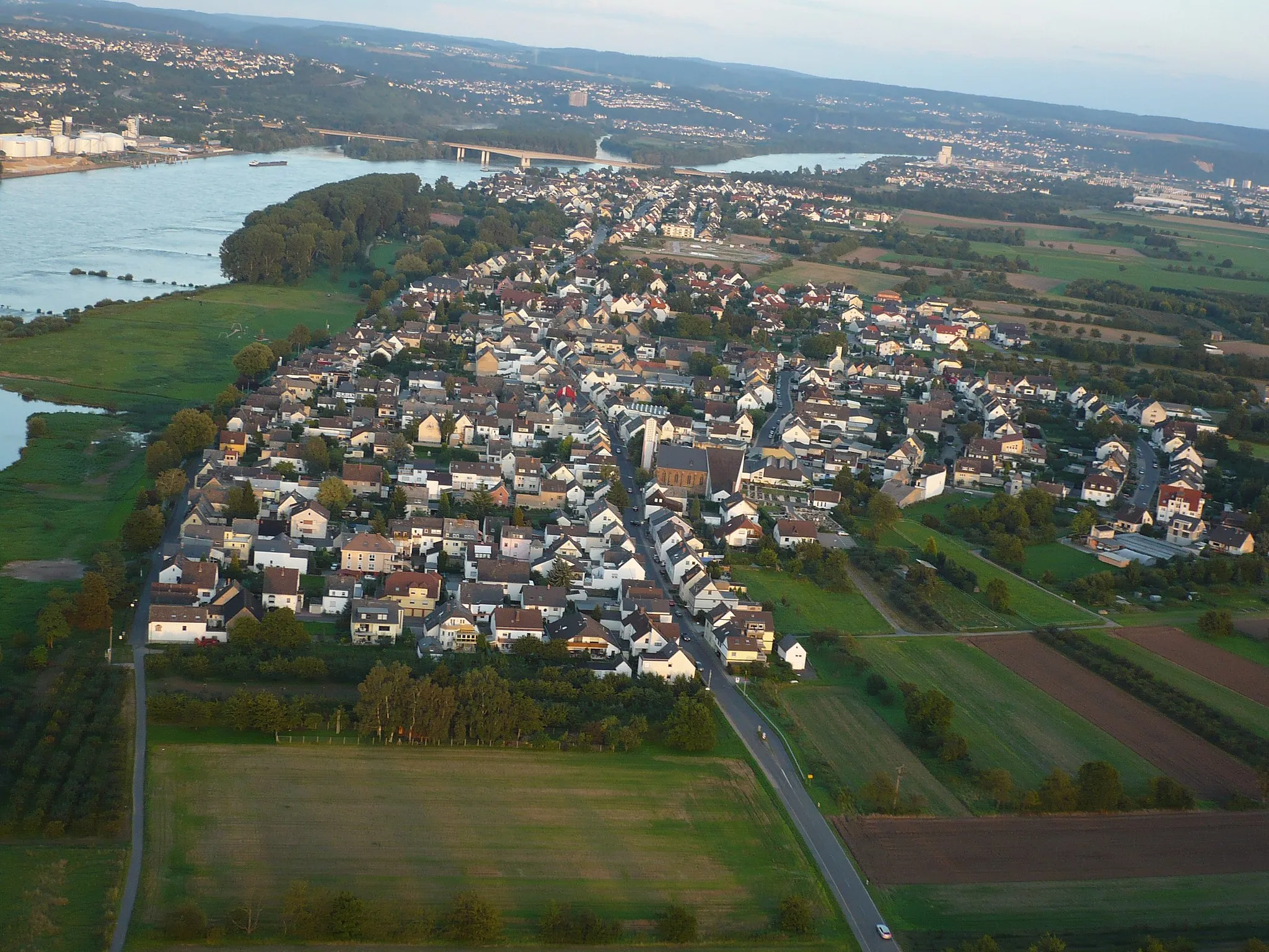
Start: Bendorf City centerBendorf: Cycling along the enchanting Rhine River.
Bendorf is a town located in Koblenz, Germany. For road and gravel cyclists, Bendorf offers diverse terrain and scenic routes along the picturesque Rhine River. The Moselradweg, a well-known cycling path in the region, is a great option for those seeking a leisurely ride. Additionally, nearby hills like the Westerwald provide opportunities for more challenging climbs. With its combination of river views and rolling hills, Bendorf is a cycling-friendly locality suitable for riders of all levels.5 km
5 km
Eisenberg280 mPeakEisenberg features breathtaking views that make the challenging climb worthwhile.
15 km
15 km
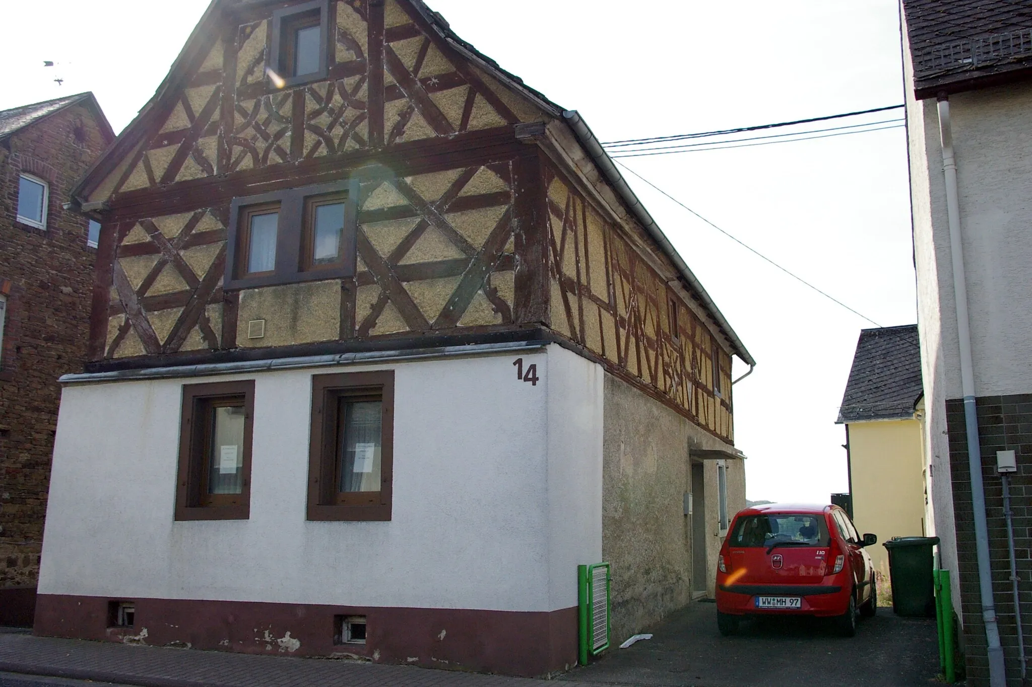
Ransbach-BaumbachTownRansbach-Baumbach awaits with its charming streets and historic buildings, perfect for a brief exploration.
24 km
24 km
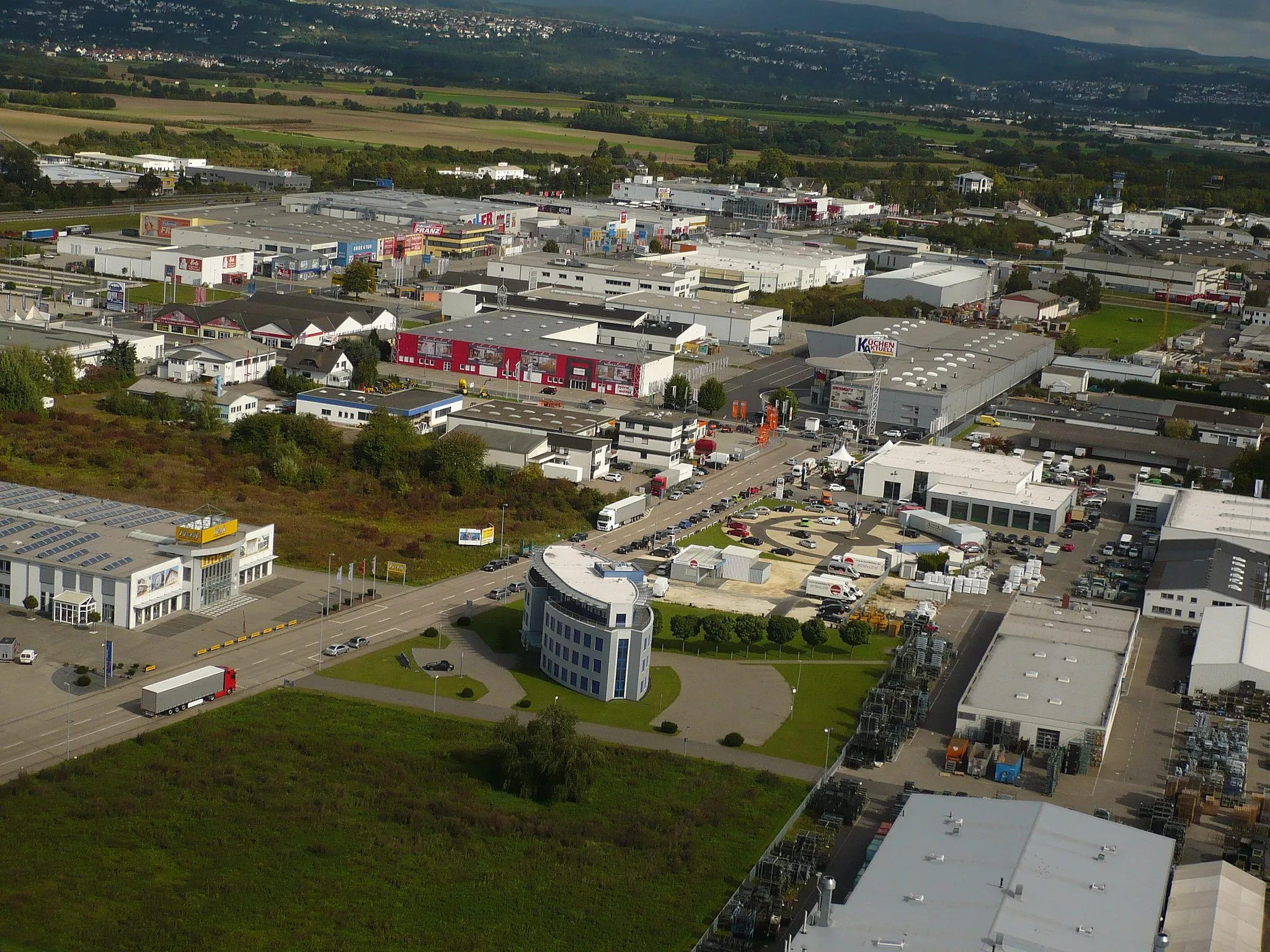
MontabaurTownMontabaur offers a delightful blend of natural beauty and architectural gems, including a famous castle.
32 km
32 km
Hainchen271 mPeakHainchen invites you to rest and enjoy a peaceful atmosphere surrounded by nature's tranquility.
41 km
41 km
Steinrück255 mPeakMarvel at the stunning scenery as you pass by Steinrück during your gravel cycling adventure.
50 km
50 km
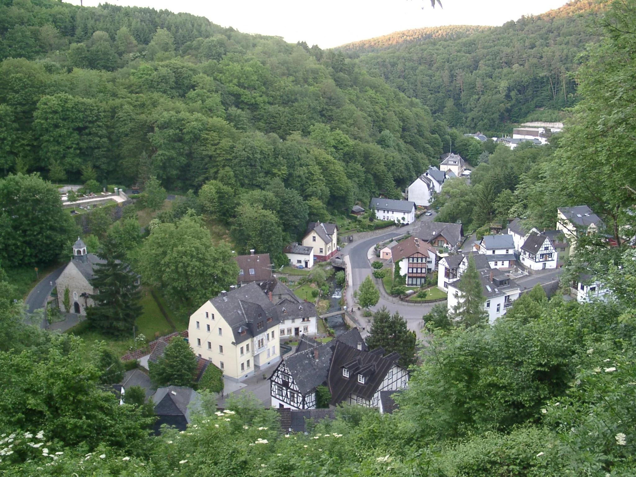
WasenbachVillageWasenbach treats you to picturesque landscapes and a charming village atmosphere.
63 km
63 km
Ringmauer449 mPeakRingmauer offers a glimpse into the history with its ancient walls and structures.
68 km
68 km
BettendorfVillageBettendorf provides an ideal spot to take a break and enjoy the peaceful surroundings.
76 km
76 km
Schaarheck340 mPeakSchaarheck offers a unique perspective with its rural landscapes and serene atmosphere.
90 km
90 km
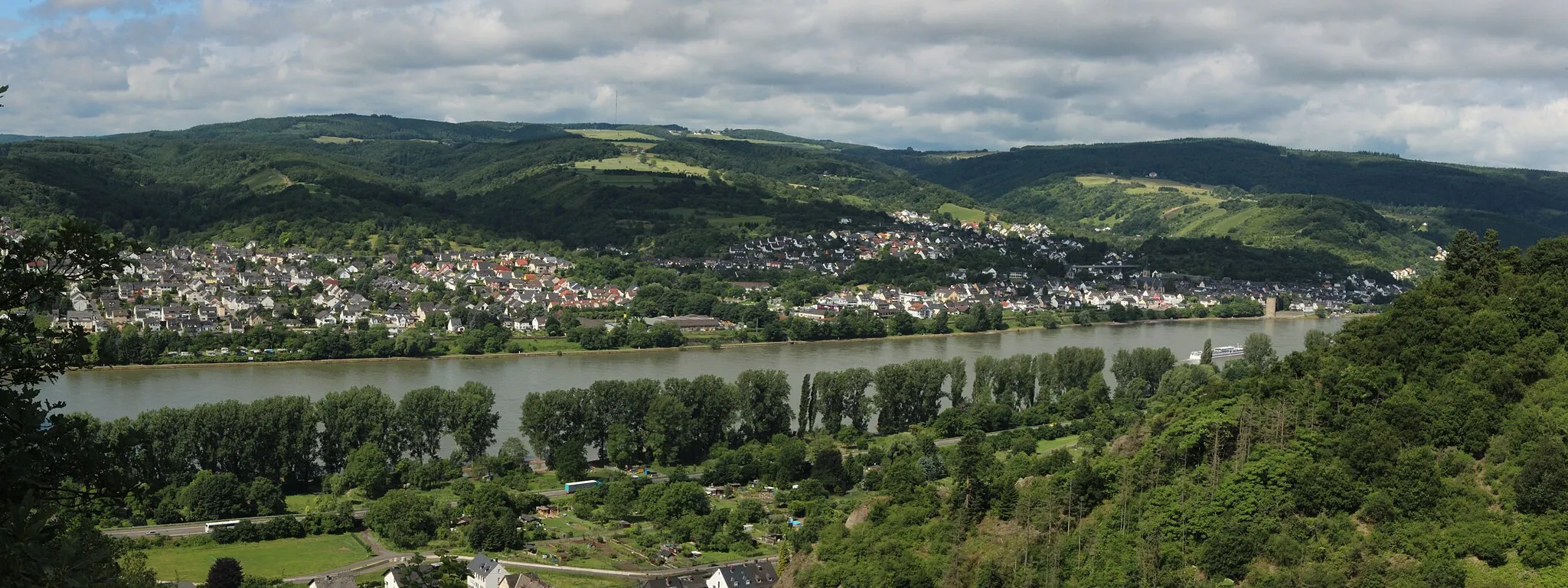
RhensTownRhens enchants with its picturesque location along the flowing Rhine River and a touch of medieval charm.
100 km
100 km
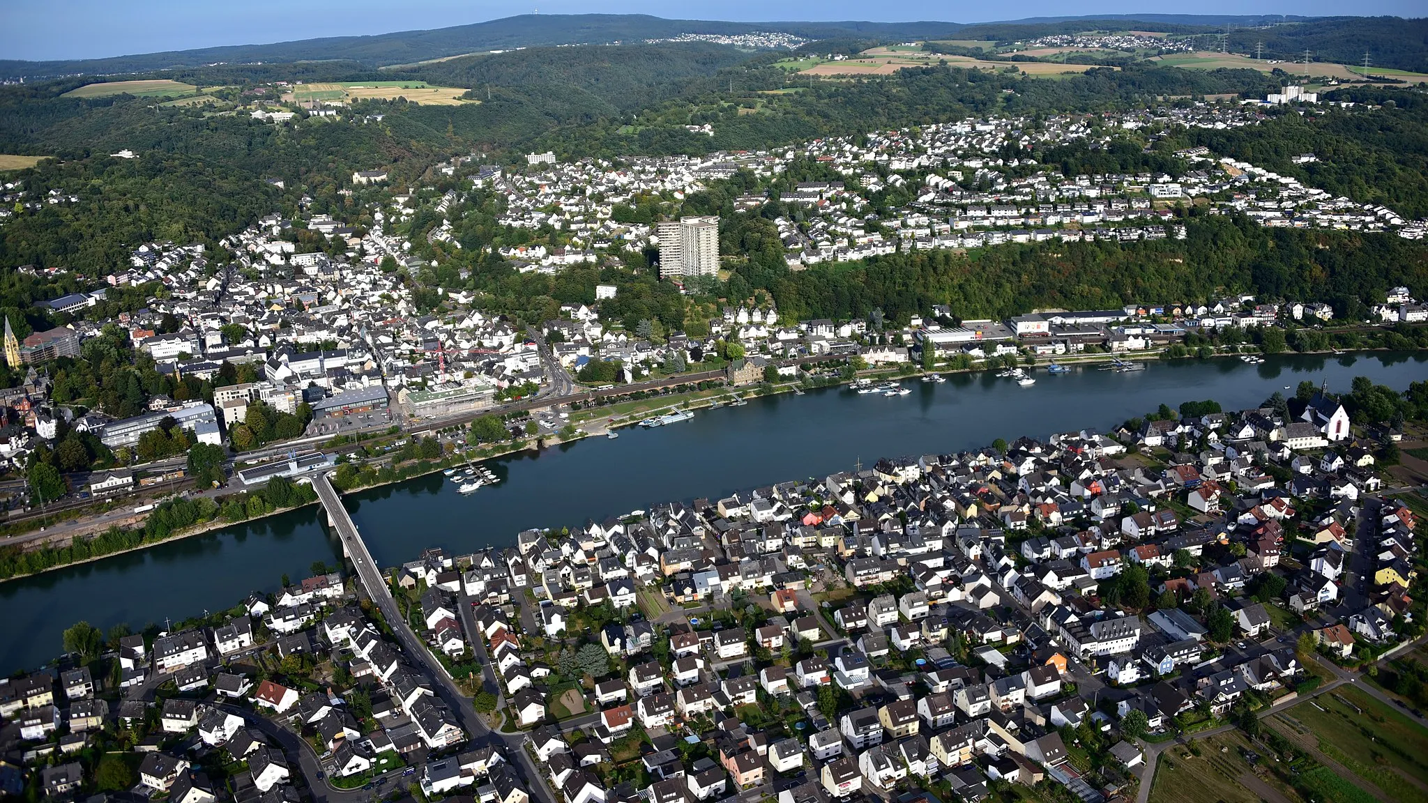
KoblenzCityDiscover the historic city of Koblenz, known for its scenic location at the confluence of the Rhine and Moselle rivers.
101 km
101 km
Deutsches EckViewpointStop by the world-famous Deutsches Eck, where the Rhine and Moselle rivers meet, offering breathtaking views.
109 km
109 km
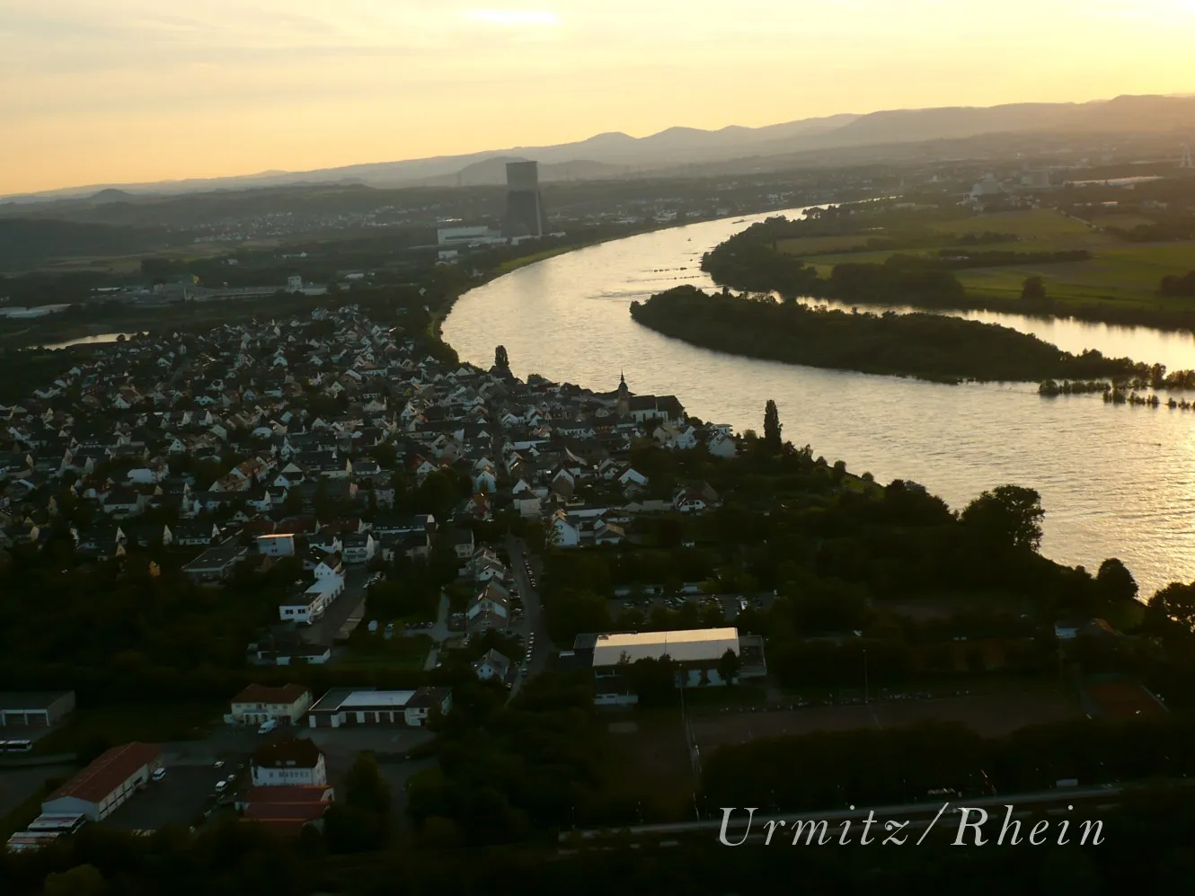
Sankt SebastianVillageSankt Sebastian awaits at the end of your gravel adventure, providing a tranquil atmosphere to relax.
112 km
112 km
Finish: Bendorf City centerBendorf: Cycling along the enchanting Rhine River.
Cycling routes from Bendorf:
Bendorf Gravel Route Koblenz Road Route Epic Rhine Valley Circuit Bendorf Gravel Exploration Koblenz Epic Road Challenge The Rhine Valley Loop Climbing the Mosel River Hills Gravel Adventure Through the Westerwald The Remote Rhine Valley Escape Bendorf Gravel Loop Bendorf Circular Road Cycling Route Gravel Adventure from Bendorf to Koblenz
Cycling routes nearby: