Exploring Natural Treasures by Gravel
A gravel cycling route starting from Birkenfeld
Discover Hoppstädten-Weiersbach, Steinerner Mann, Freisen, Rosenberg, Namborn, Rehkopf, Stickelberg, and Ellweiler on this gravel cycling route near Birkenfeld.
Map
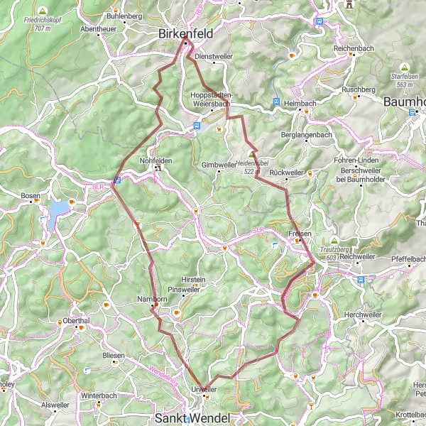
This exciting gravel route near Birkenfeld takes you through the natural treasures of Hoppstädten-Weiersbach, Steinerner Mann, Freisen, Rosenberg, Namborn, Rehkopf, Stickelberg, and Ellweiler. Cyclists will cover a distance of 52km with an ascent of 957m while experiencing the beautiful landscapes of Germany.
gravel
52 km
957 m
Tough
Route profile
Highlights on the route
0 km
0 km
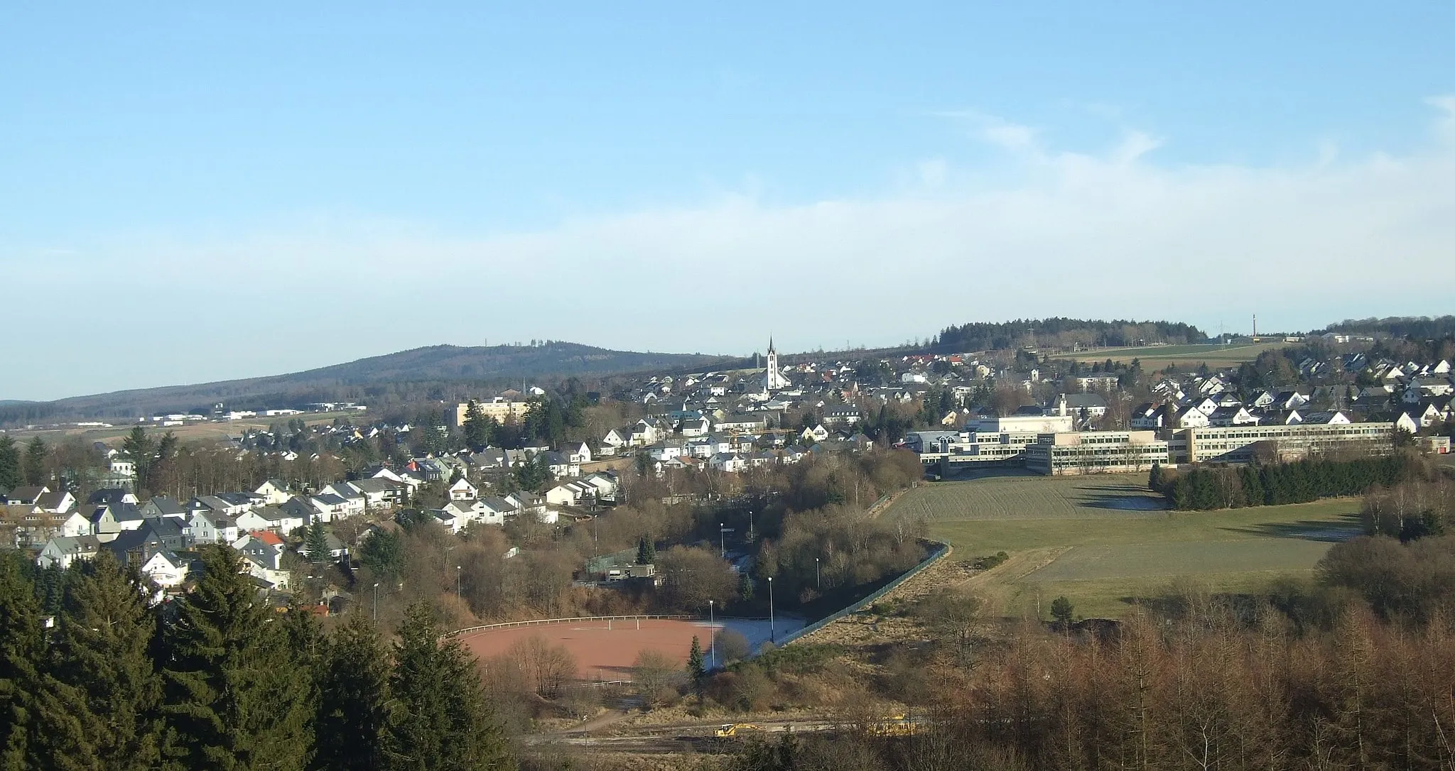
Start: Birkenfeld City centerBirkenfeld: Diverse landscapes and cyclist-friendly infrastructure make Birkenfeld a great cycling destination.
Birkenfeld is a town located in the Koblenz region of Germany. From a cyclist's perspective, it offers a mix of flat and hilly landscapes, catering to both road and gravel cyclists. The town itself has cyclist-friendly infrastructure and there are several well-maintained cycling routes in the area. One notable cycling spot close to Birkenfeld is the Saar-Hunsrück Climb, which provides cyclists with a challenging ascent and rewarding views. Overall, Birkenfeld ranks as a 4 in terms of cycling friendliness and is recommended for cyclists looking for diverse terrains and scenic routes.4 km
4 km
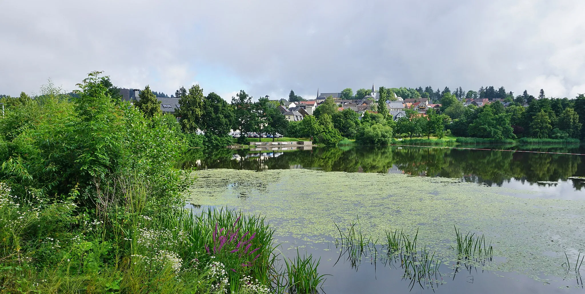
Hoppstädten-WeiersbachVillageHoppstädten-Weiersbach, just 4km from the start, offers a peaceful and picturesque view of the surrounding nature.
7 km
7 km
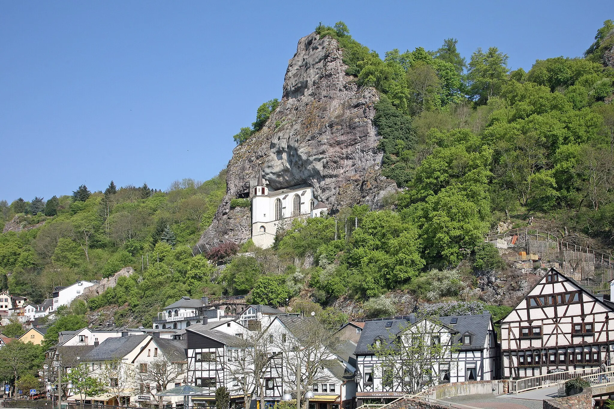
Steinerner Mann490 mPeakSteinerner Mann, located at 7km, is a unique rock formation that impresses with its natural beauty.
15 km
15 km
FreisenVillageAt 15km, Freisen offers a charming village atmosphere with historical buildings and scenic surroundings.
24 km
24 km
Rosenberg401 mPeakRosenberg, located at 24km, is a medieval castle ruins with stunning panoramic views.
34 km
34 km
NambornVillageNamborn, situated at 34km, is known for its lush green meadows and peaceful surroundings.
35 km
35 km
Rehkopf412 mPeakRehkopf, at a distance of 35km, offers a challenging climb and a rewarding view.
45 km
45 km
Stickelberg427 mPeakAt 45km, Stickelberg captures the essence of the German countryside with its scenic landscapes.
47 km
47 km
EllweilerVillageEllweiler, located at 47km, boasts picturesque viewpoints and peaceful surroundings.
52 km
52 km
Finish: Birkenfeld City centerBirkenfeld: Diverse landscapes and cyclist-friendly infrastructure make Birkenfeld a great cycling destination.
Cycling routes from Birkenfeld:
Cycling routes nearby: